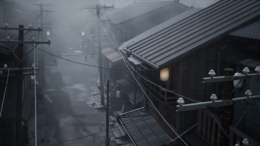
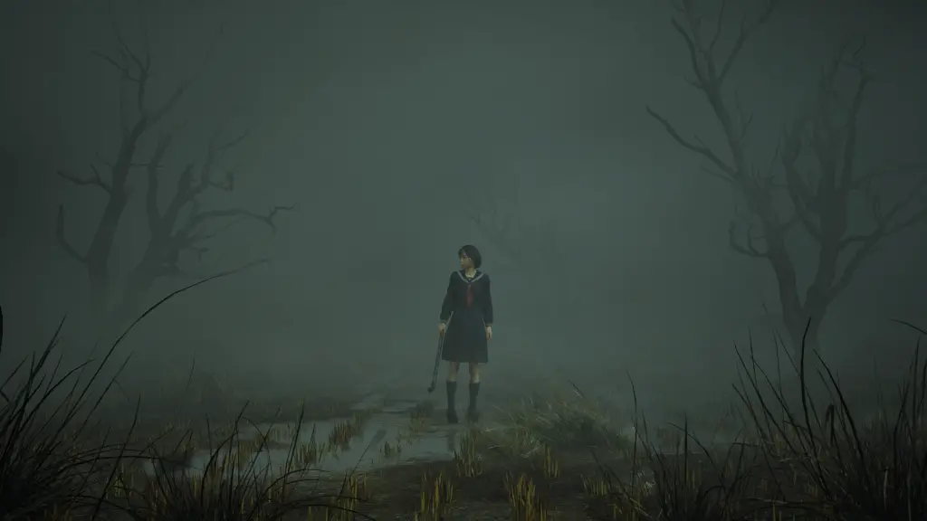
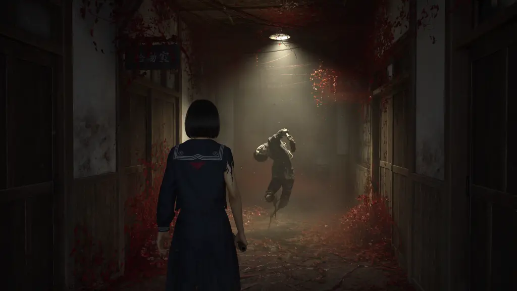
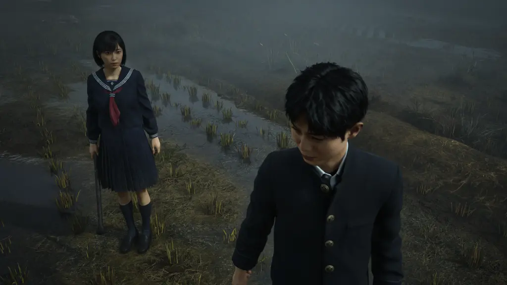
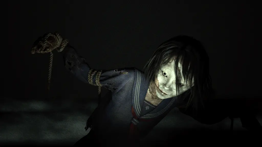
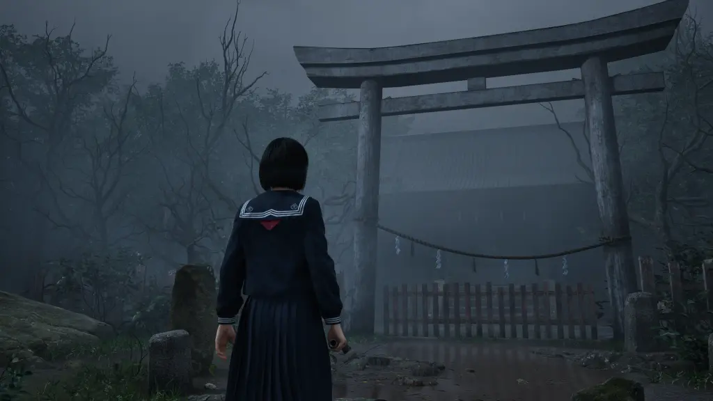
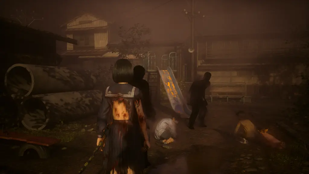
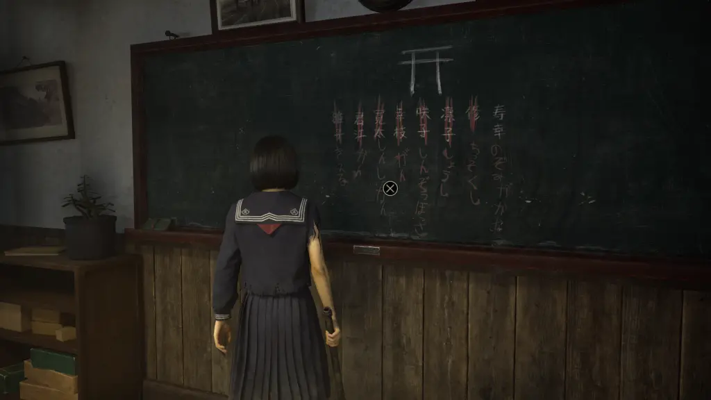
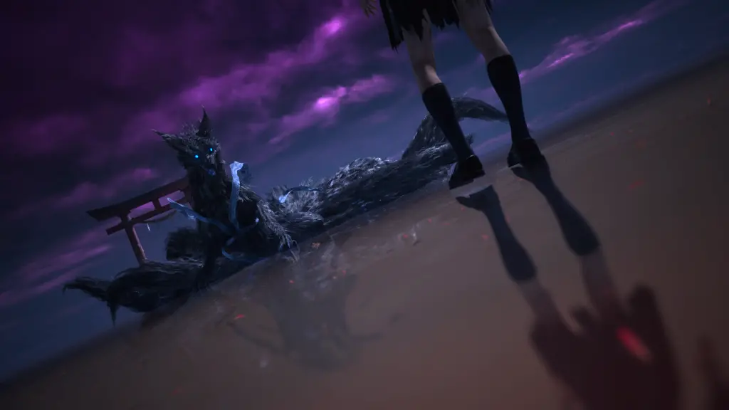
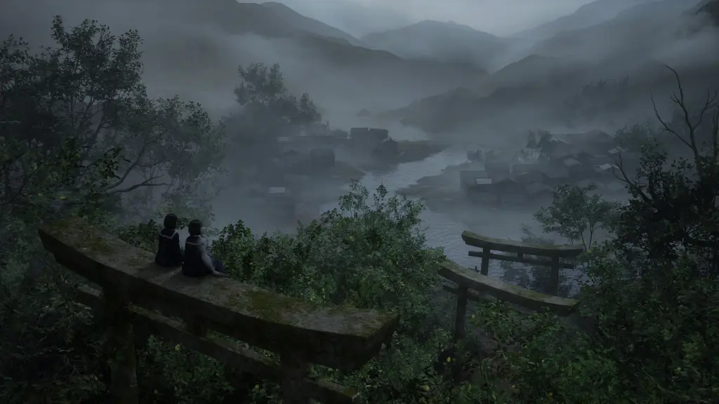
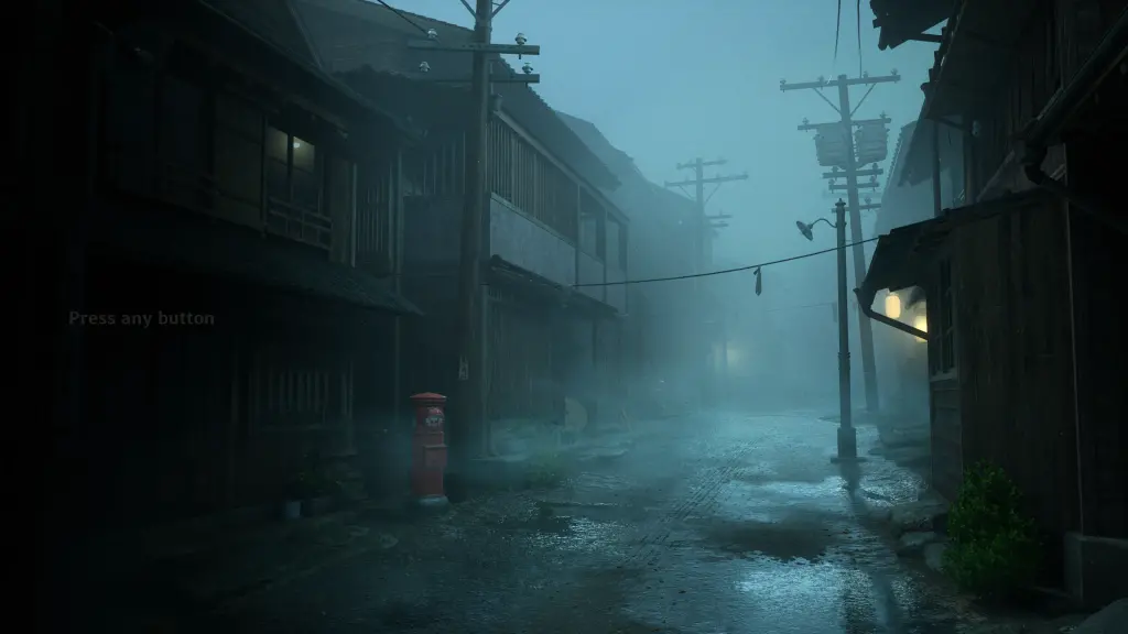
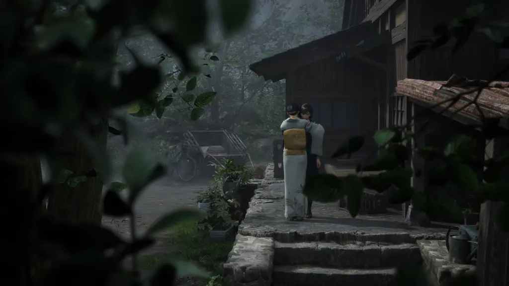
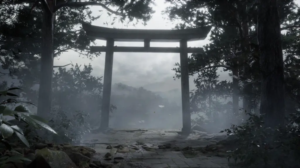
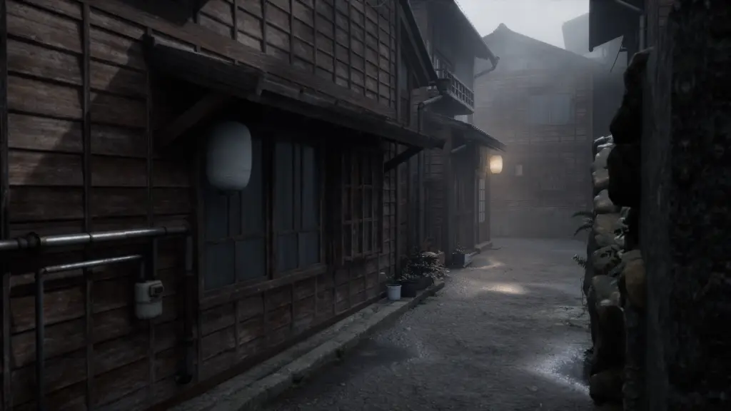
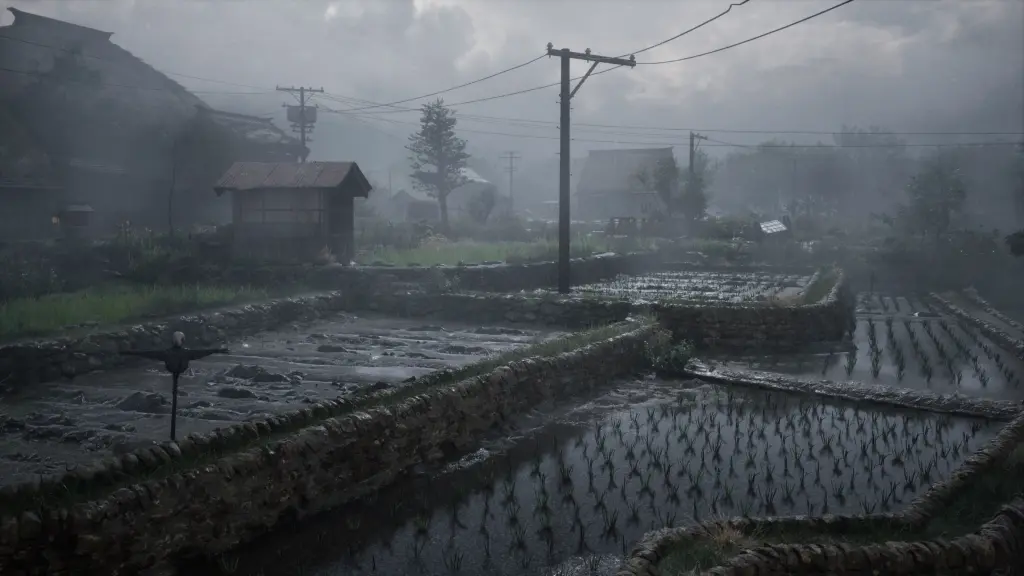
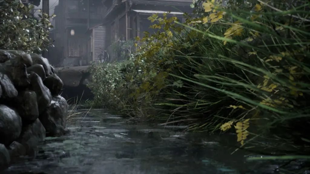
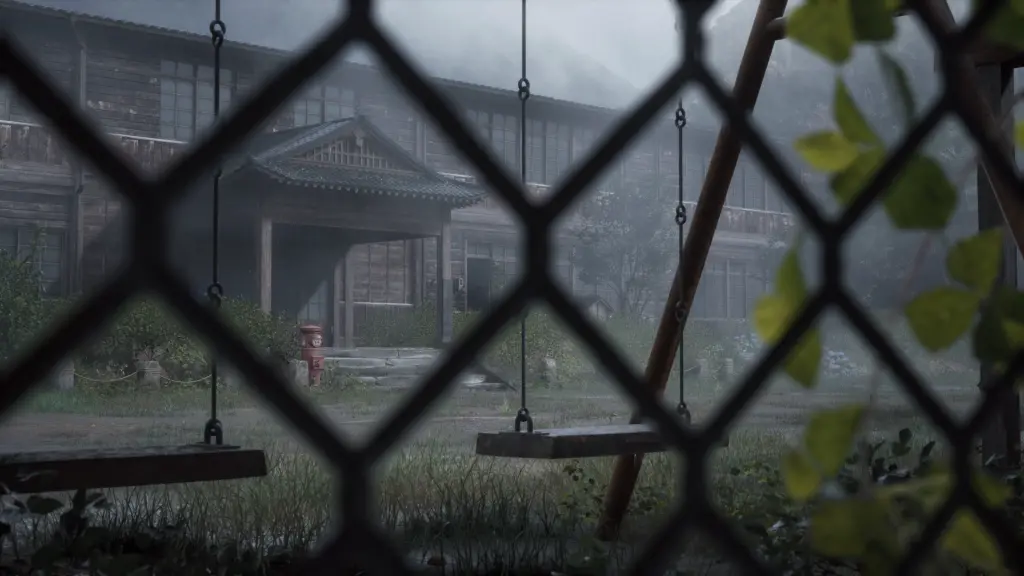
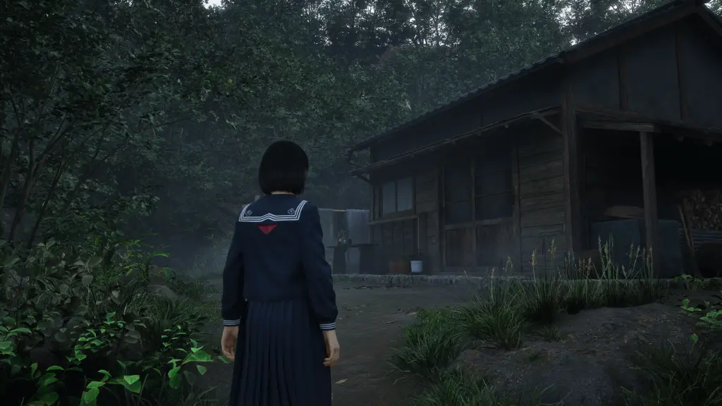
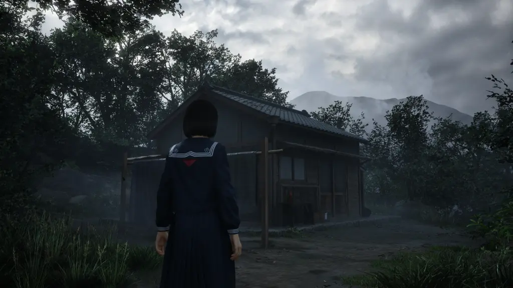
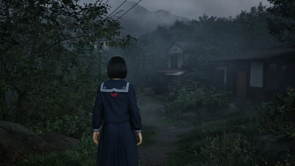
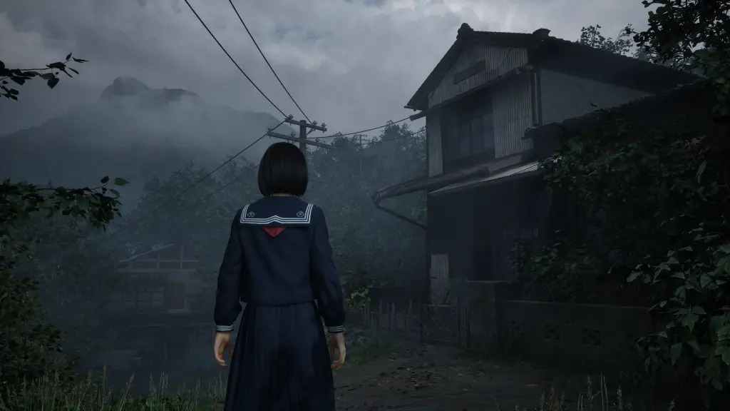
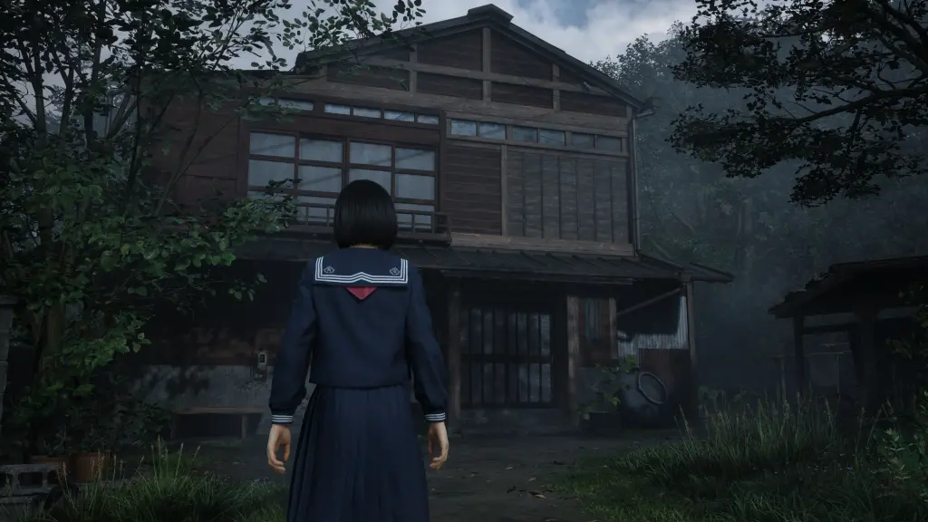
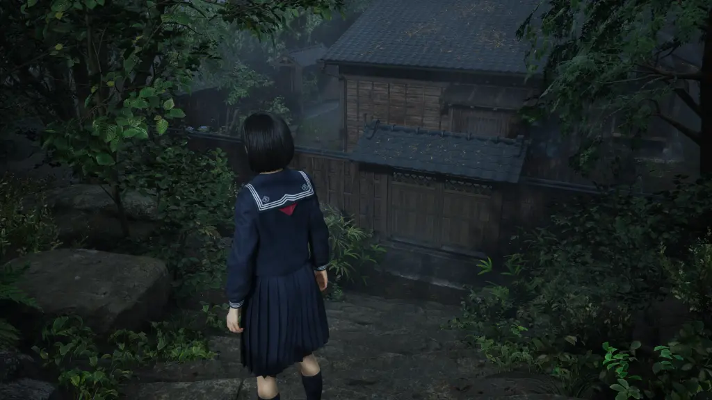
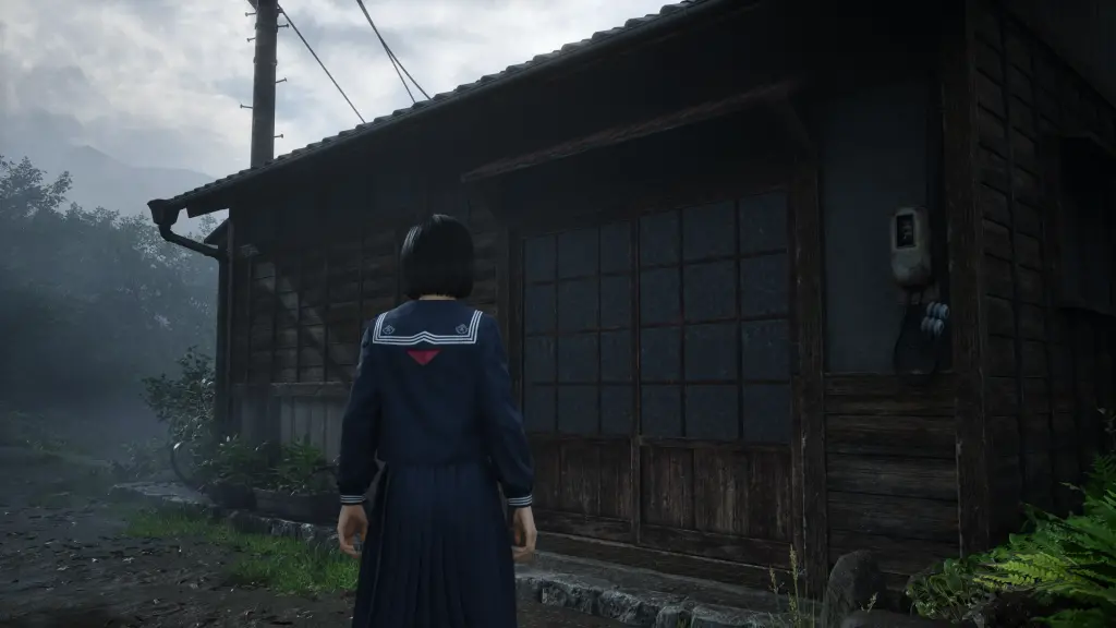
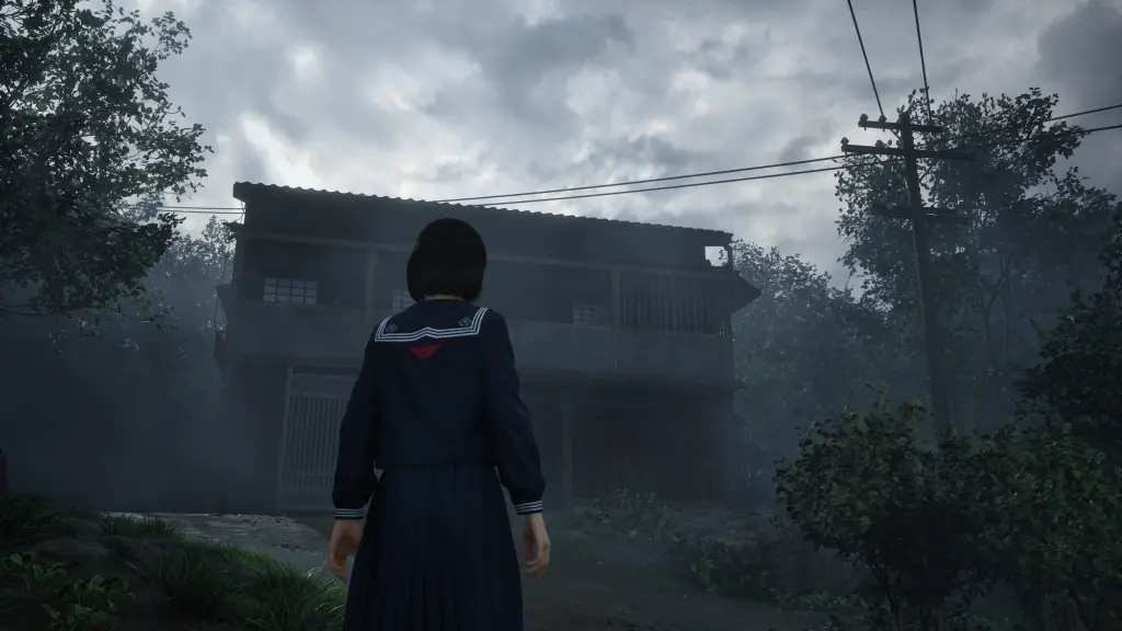
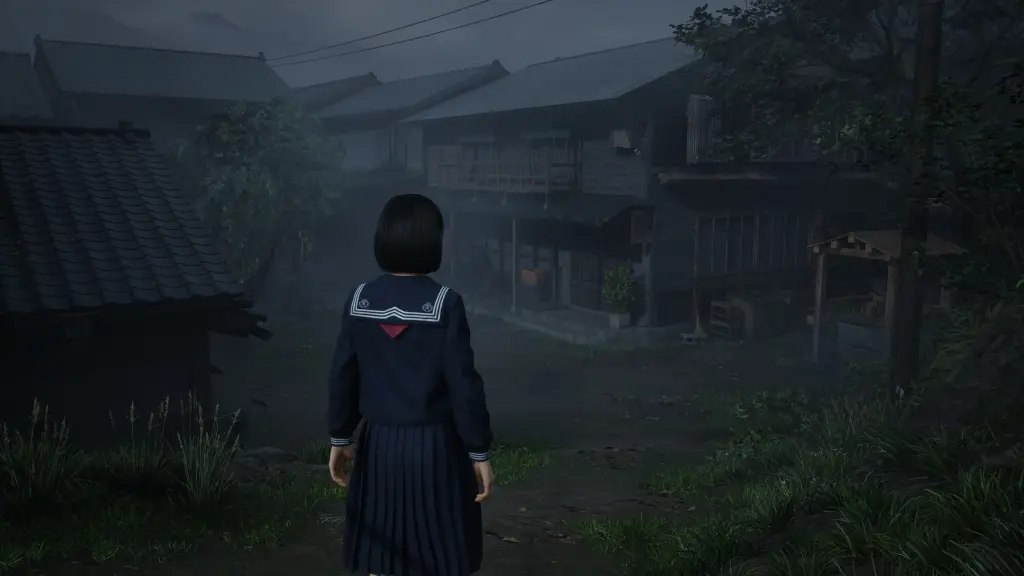
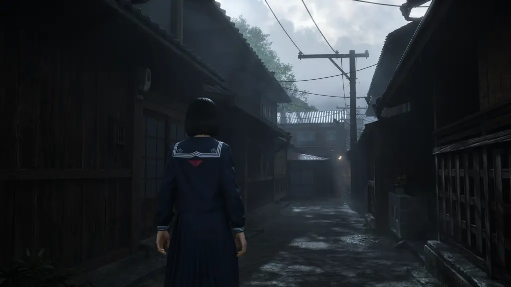
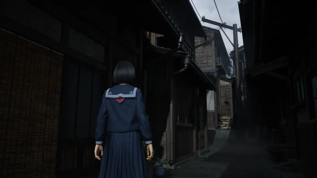
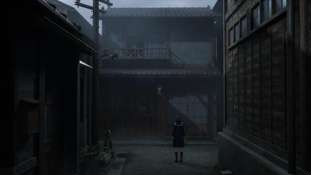
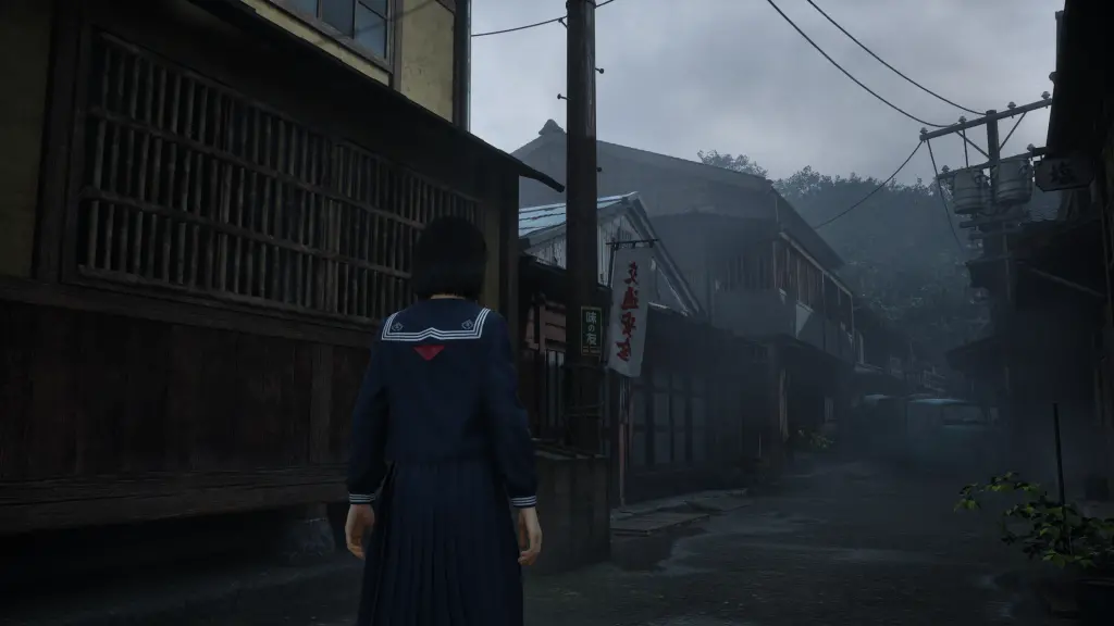
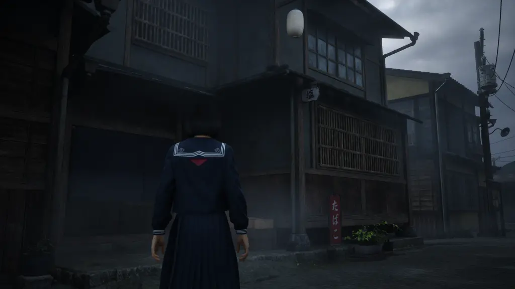
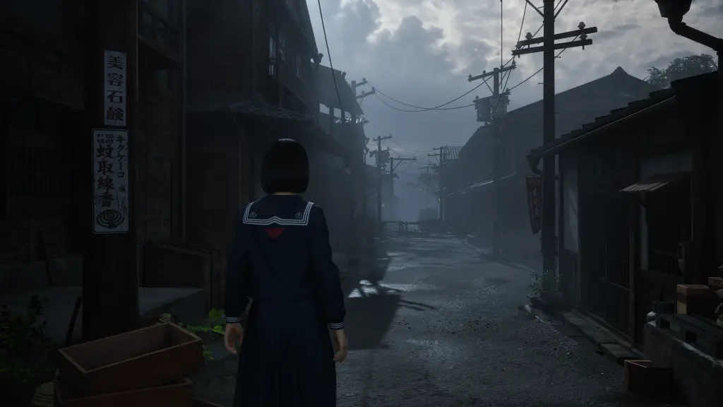
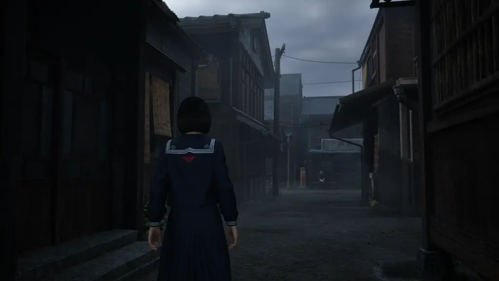
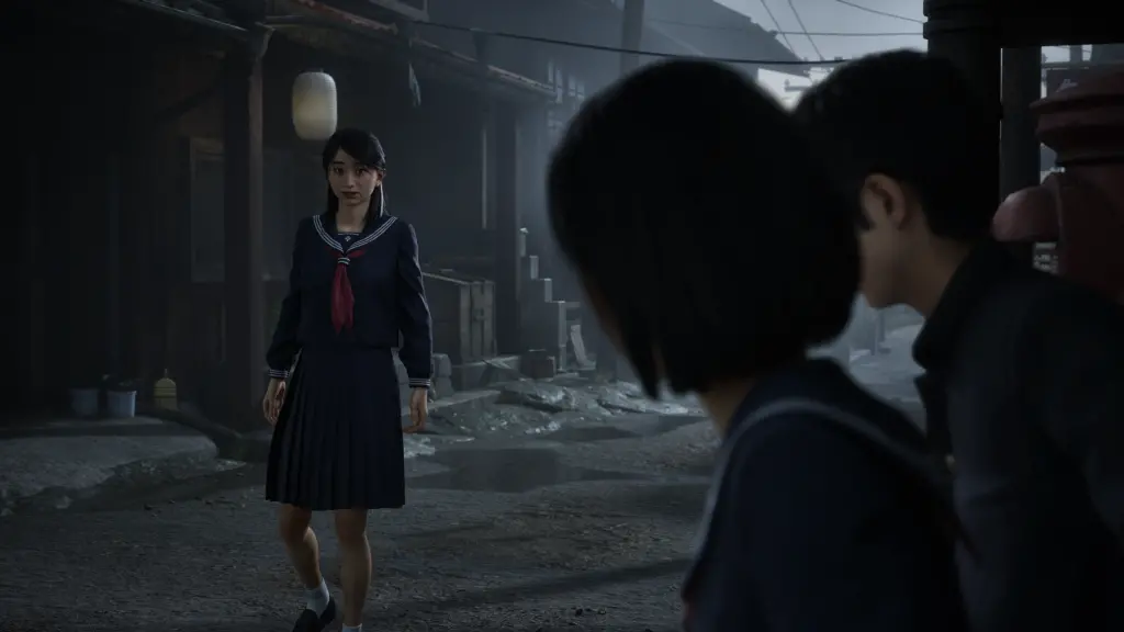
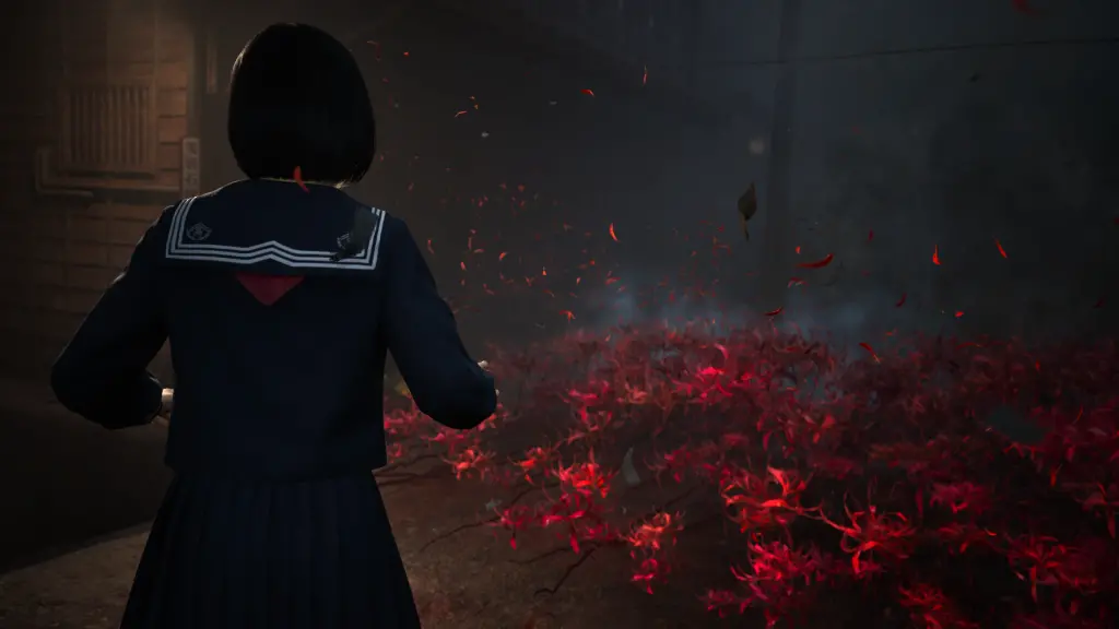
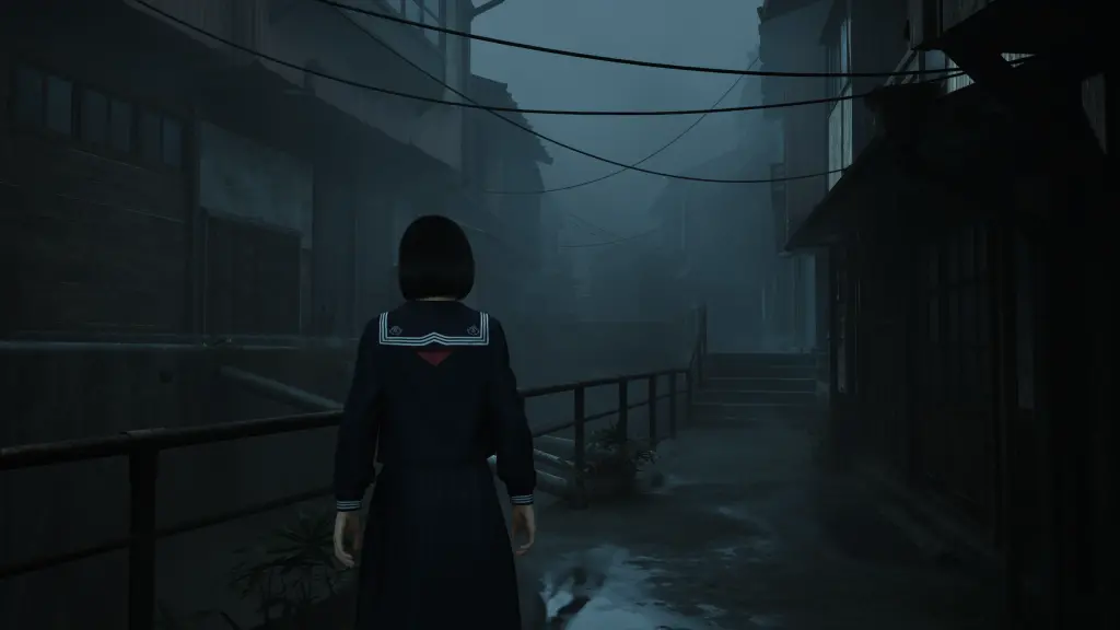
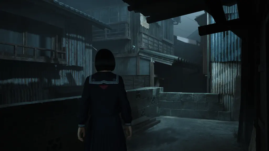
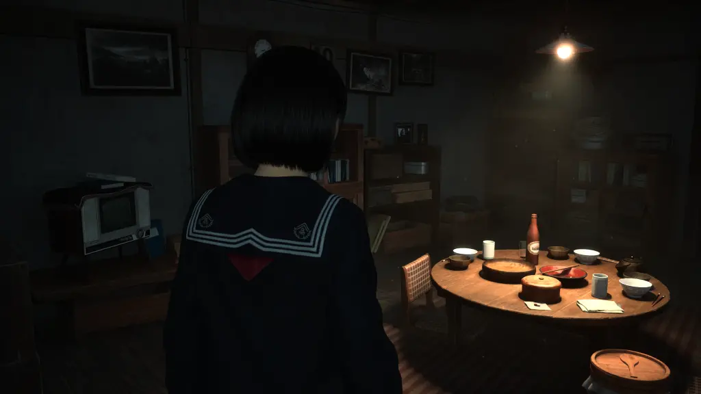
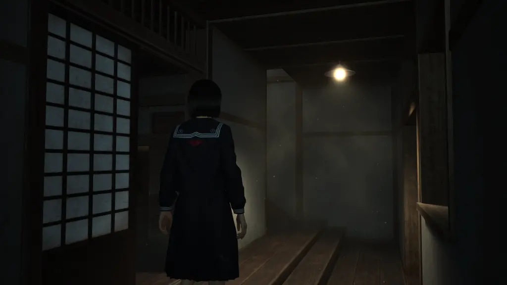
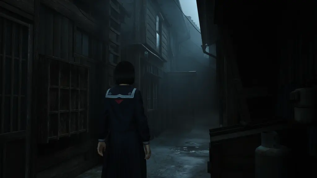
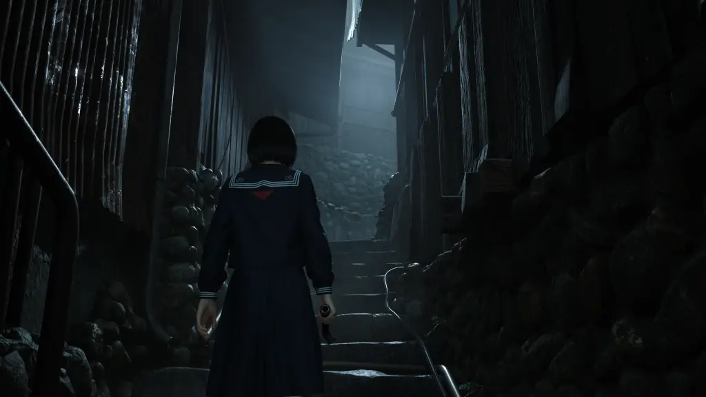
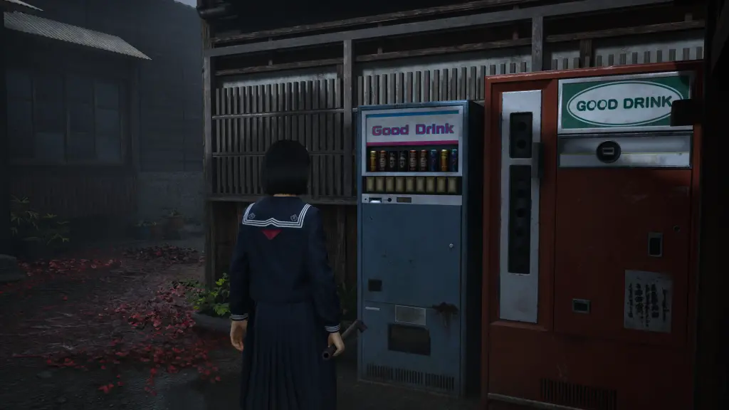
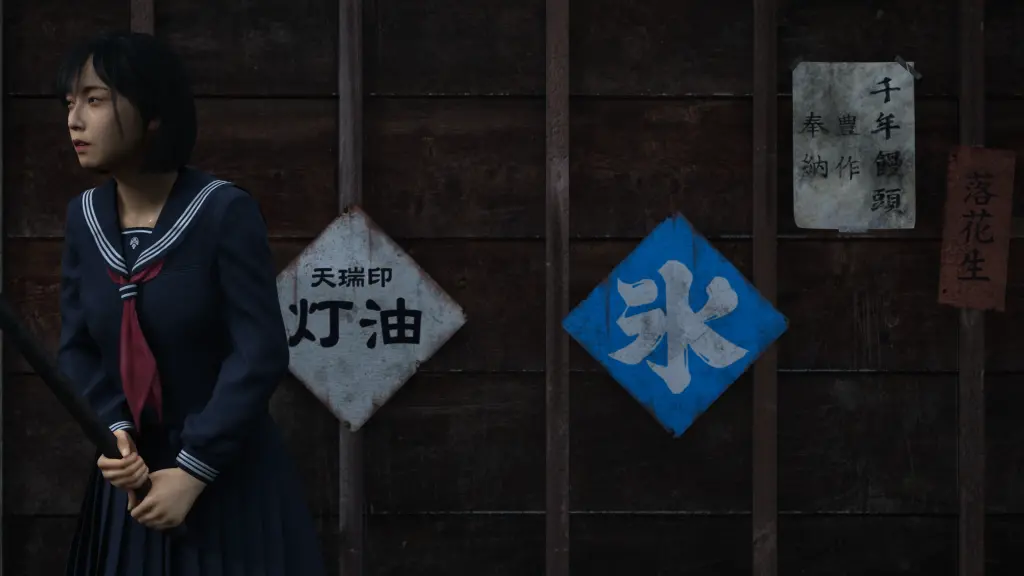
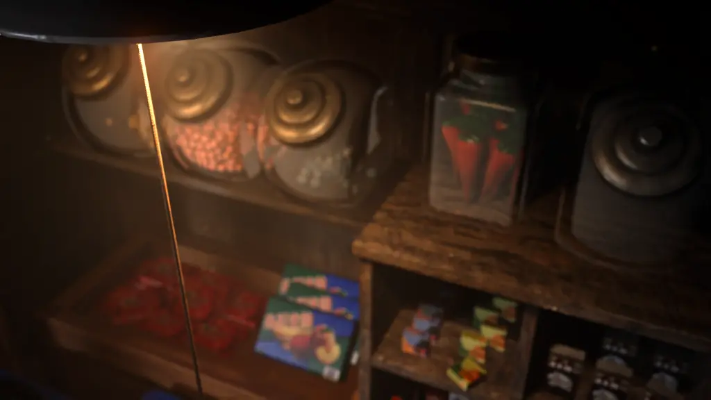
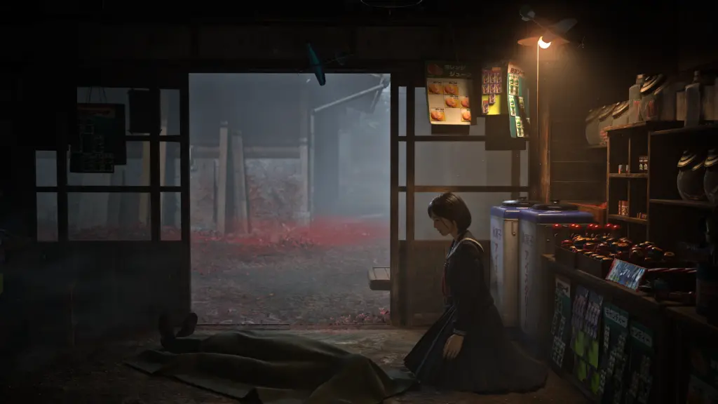
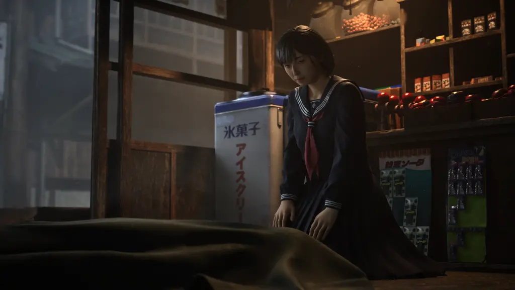
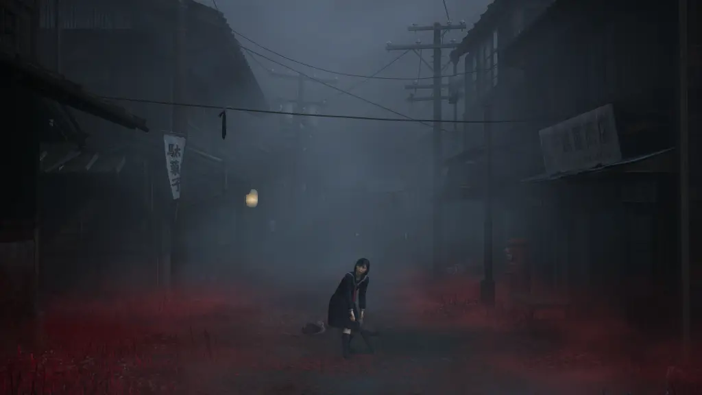
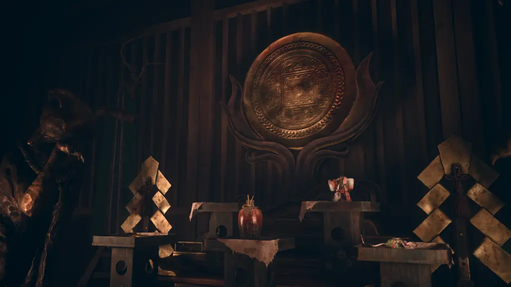
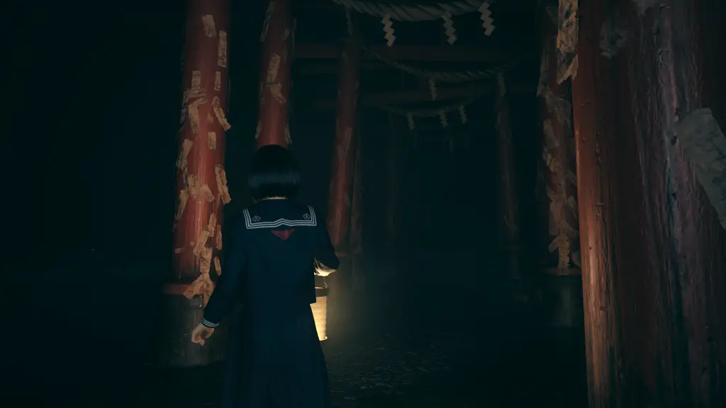
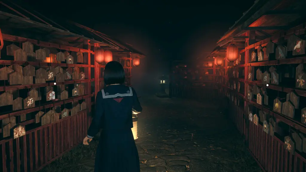
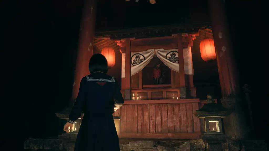
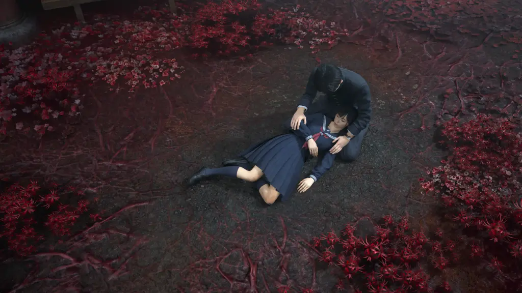
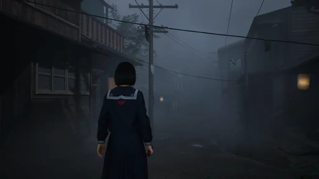
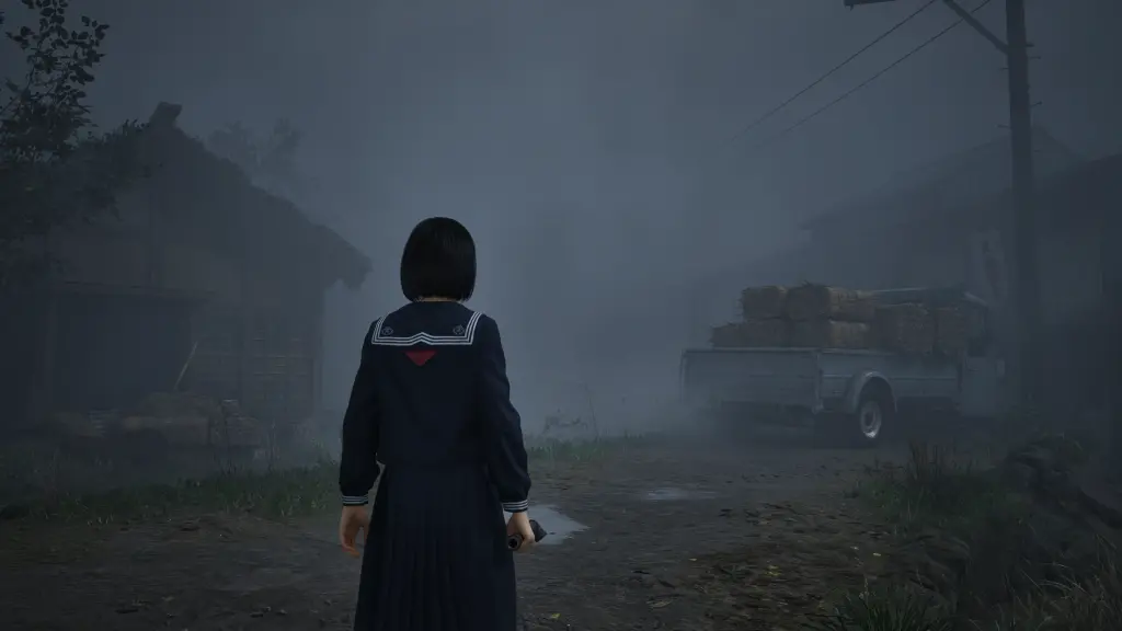
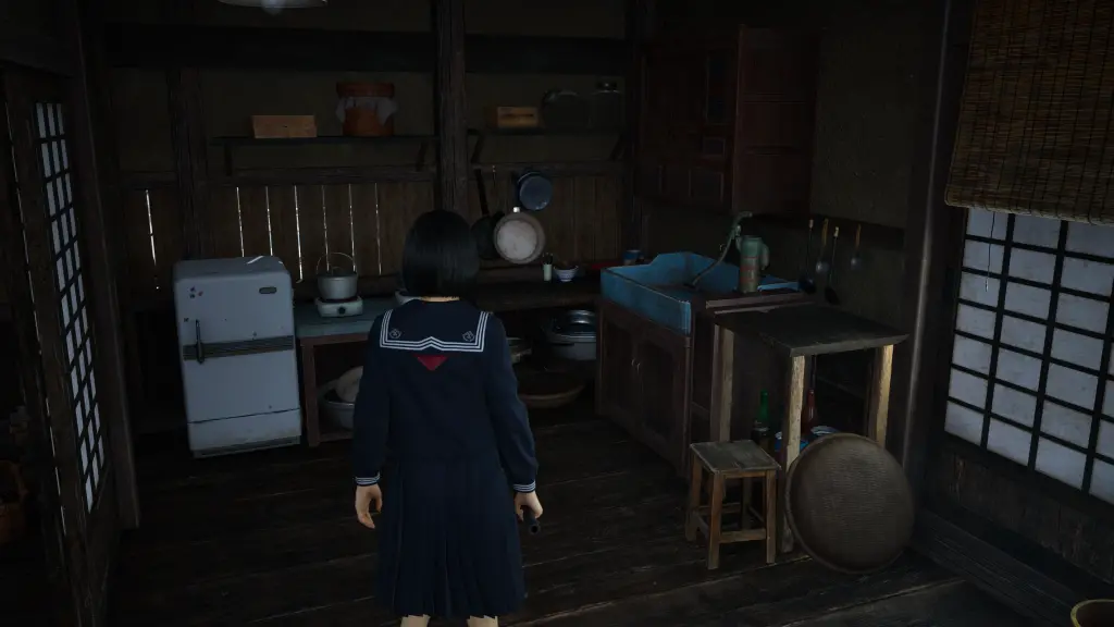
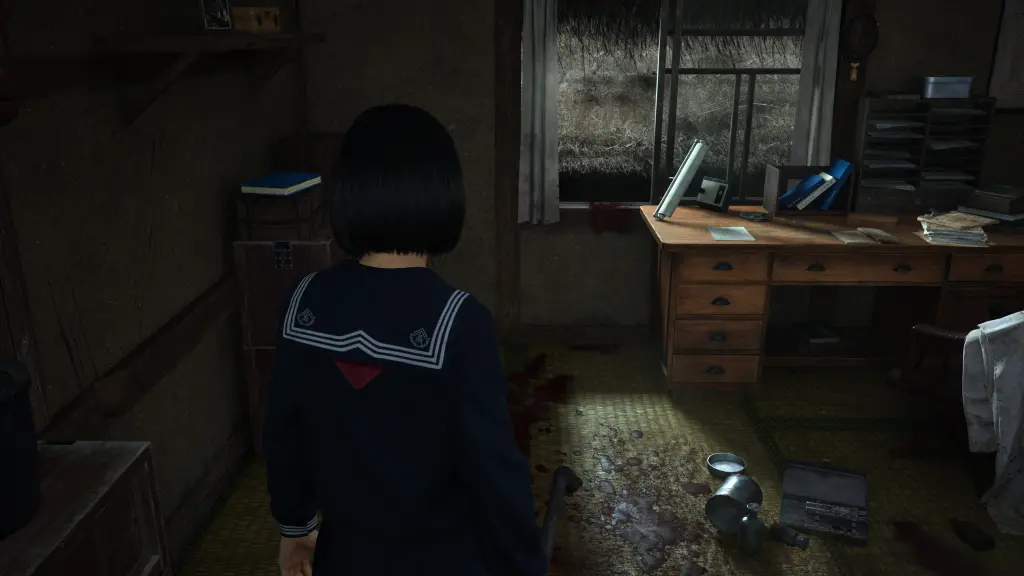
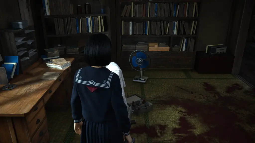
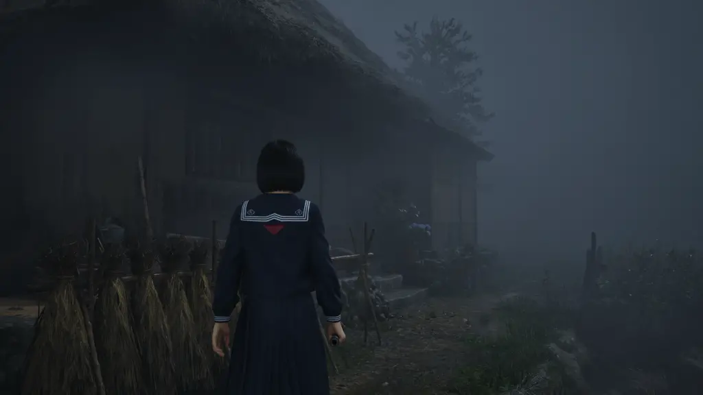
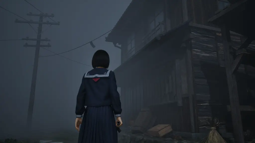
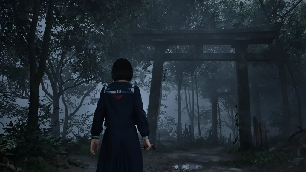
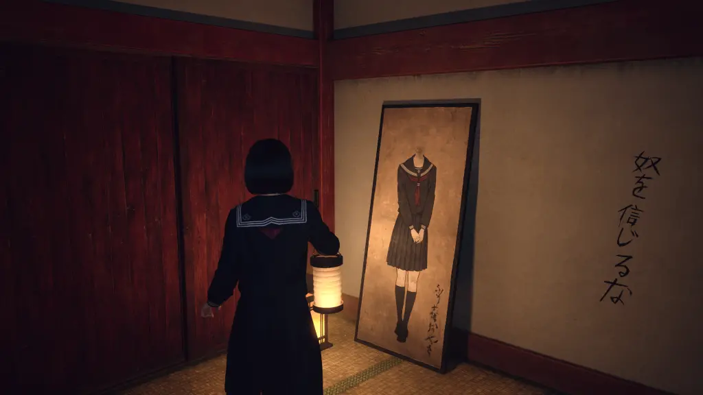
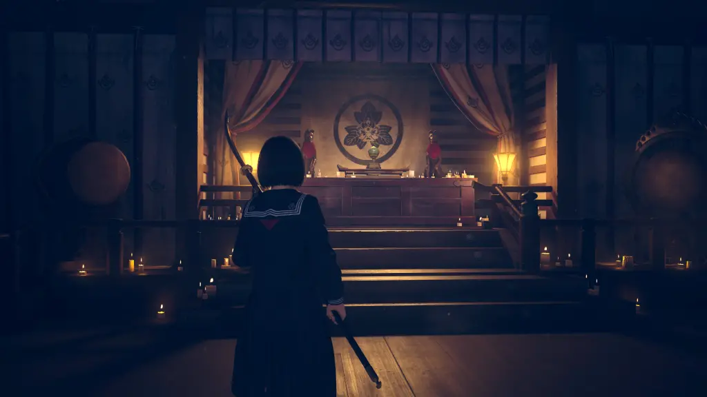
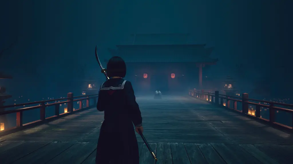
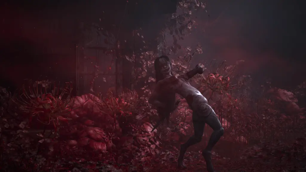
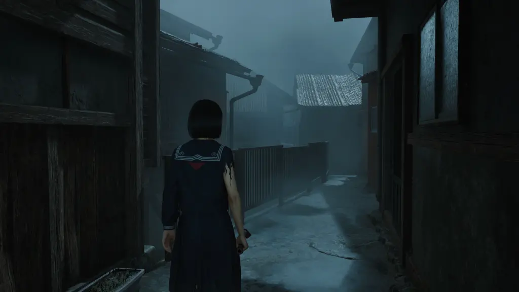
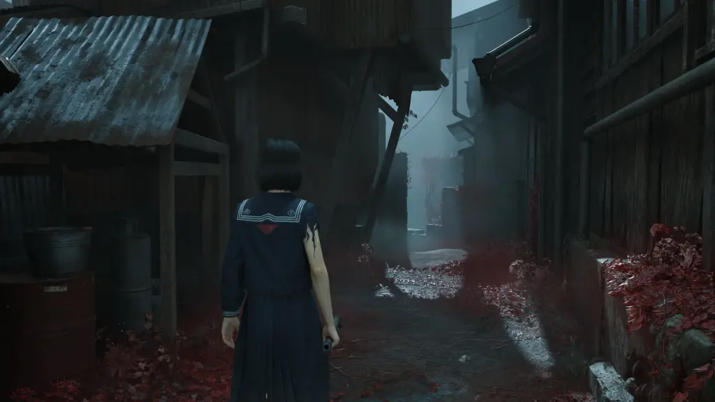
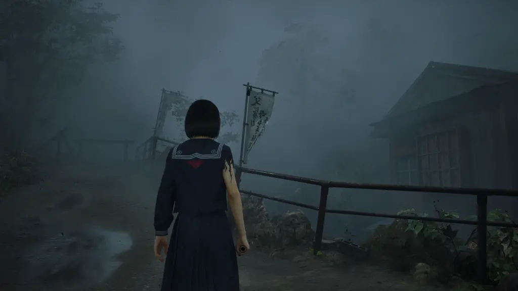
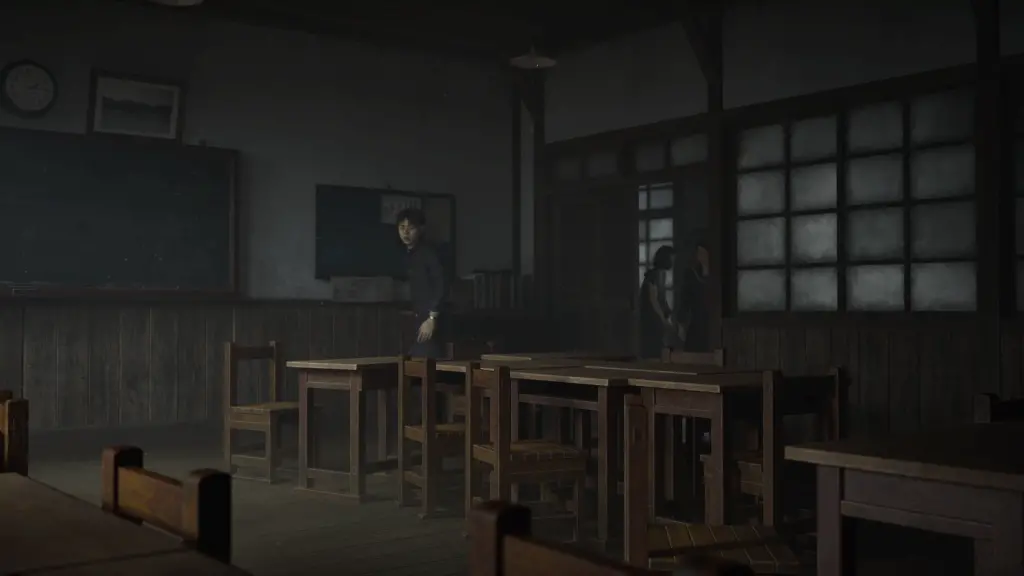
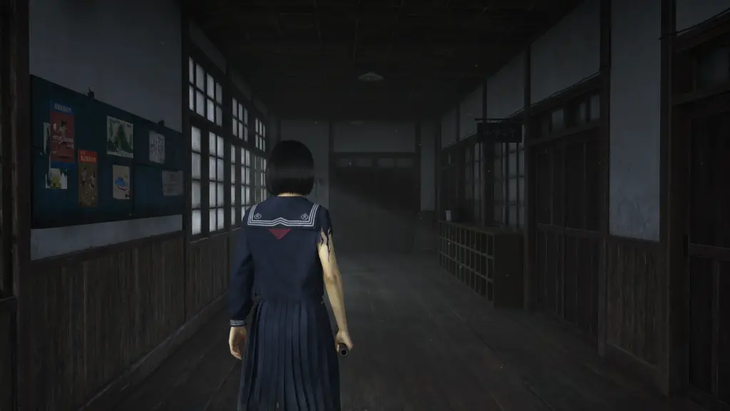
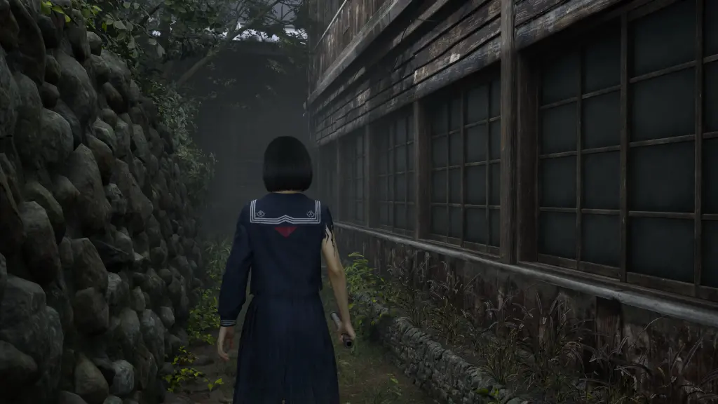
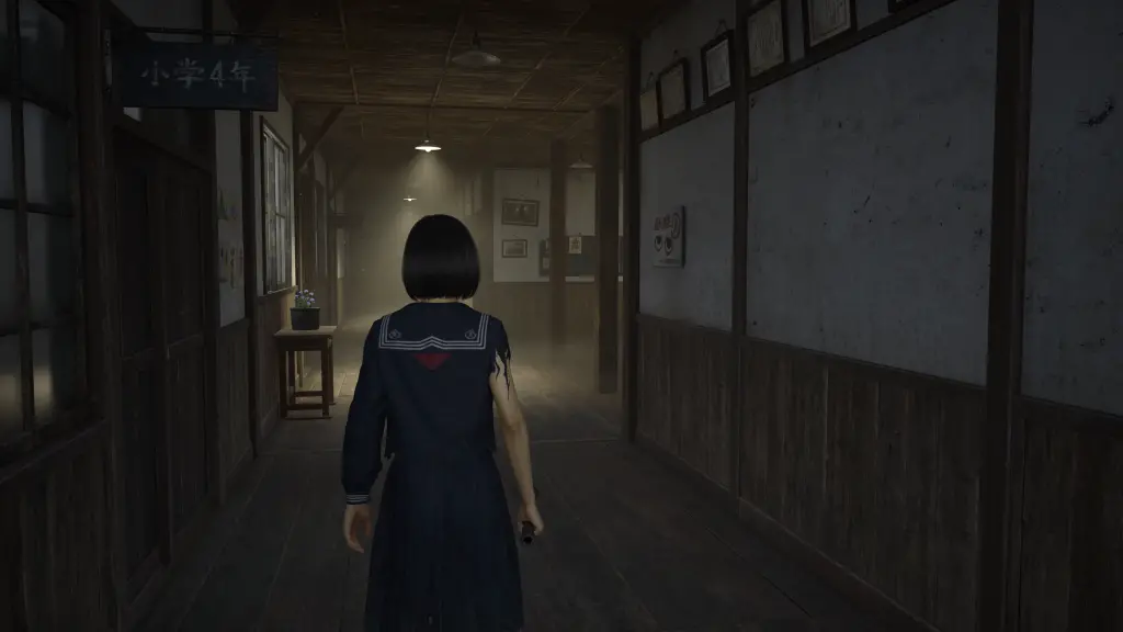
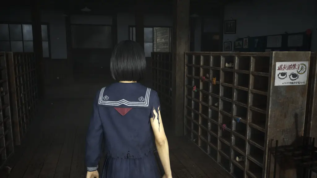
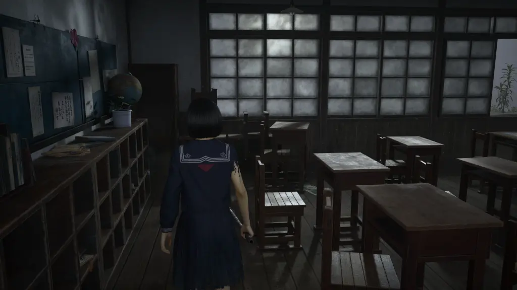
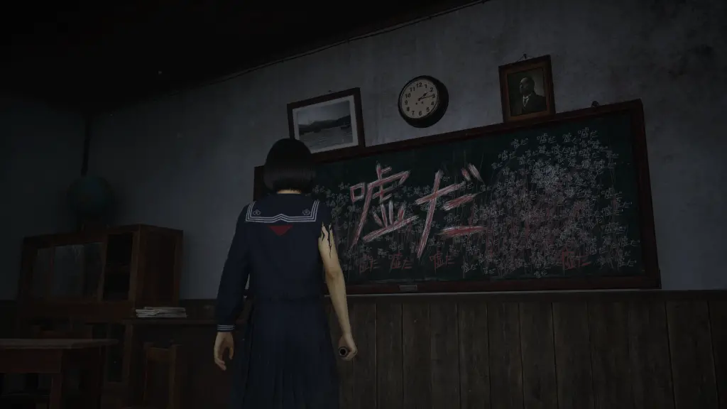
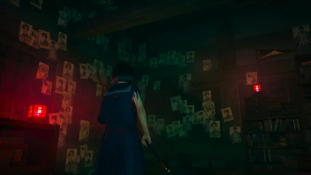
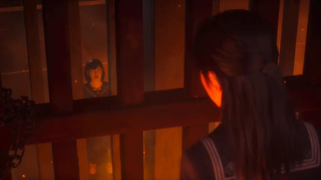
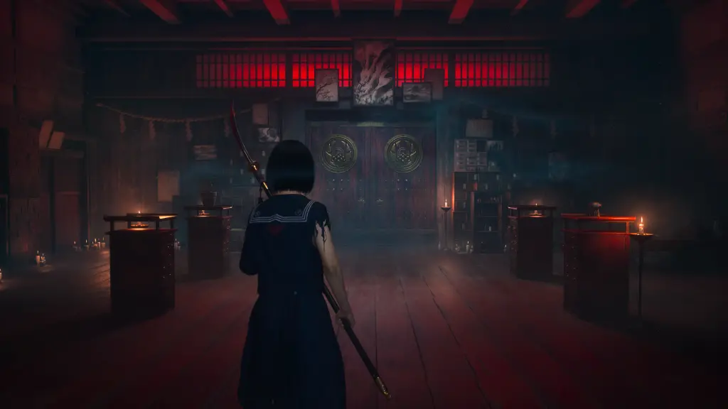
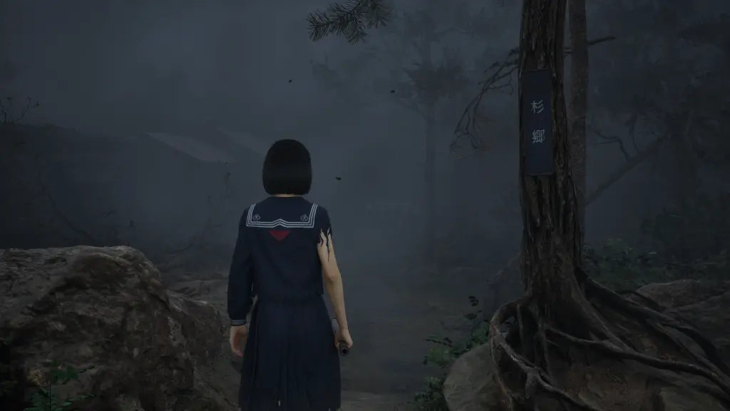
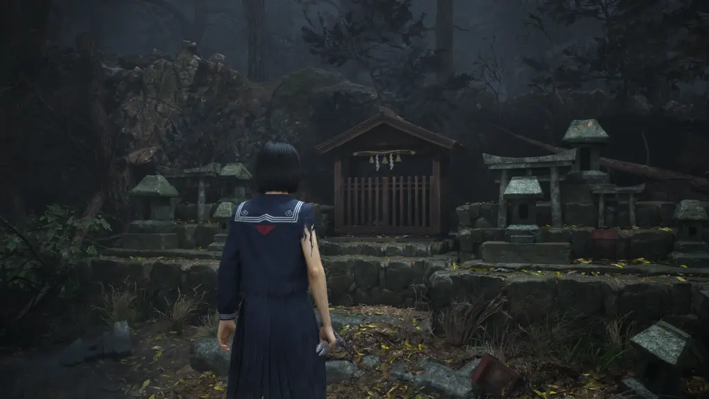
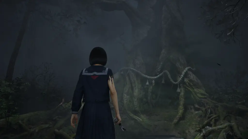
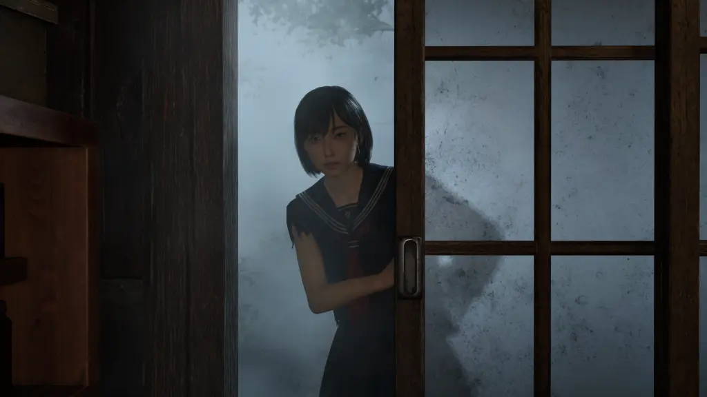
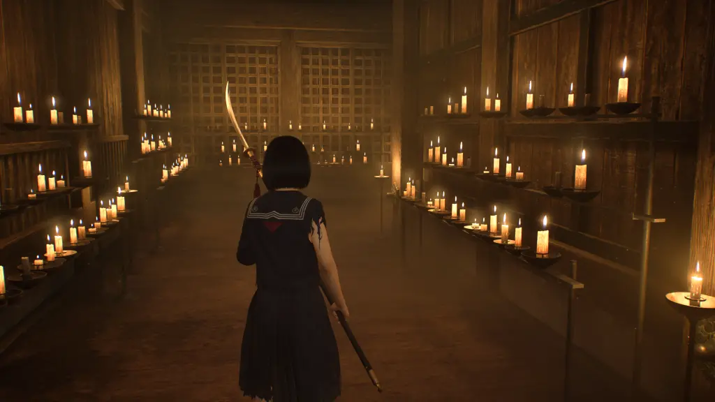
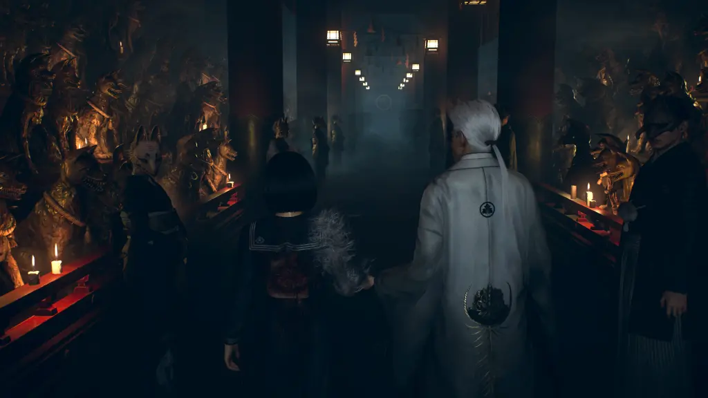
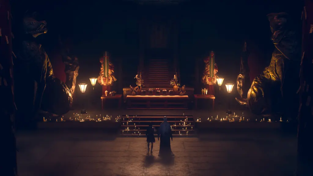
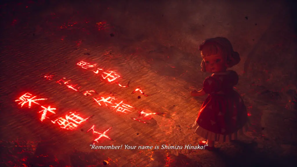
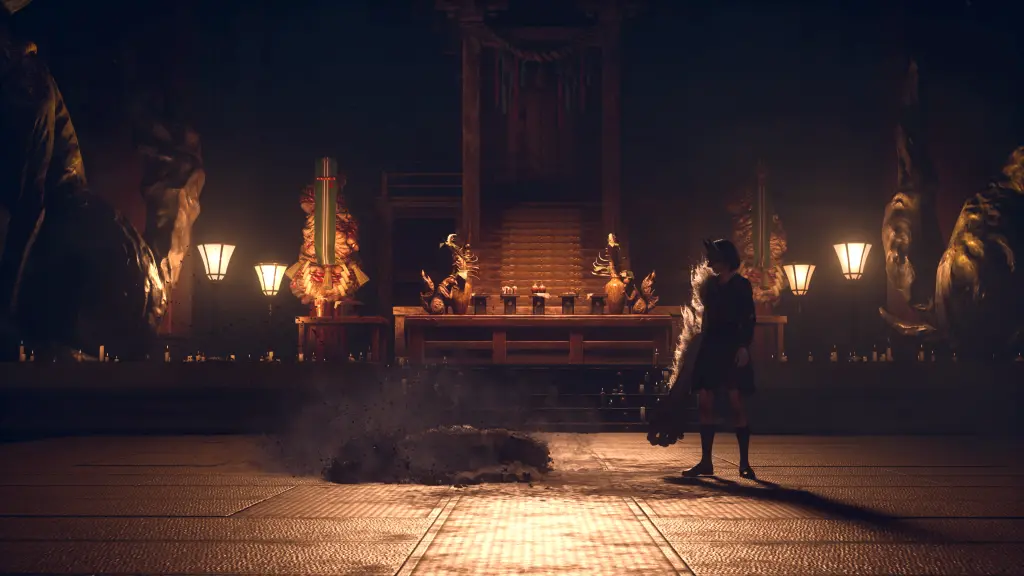
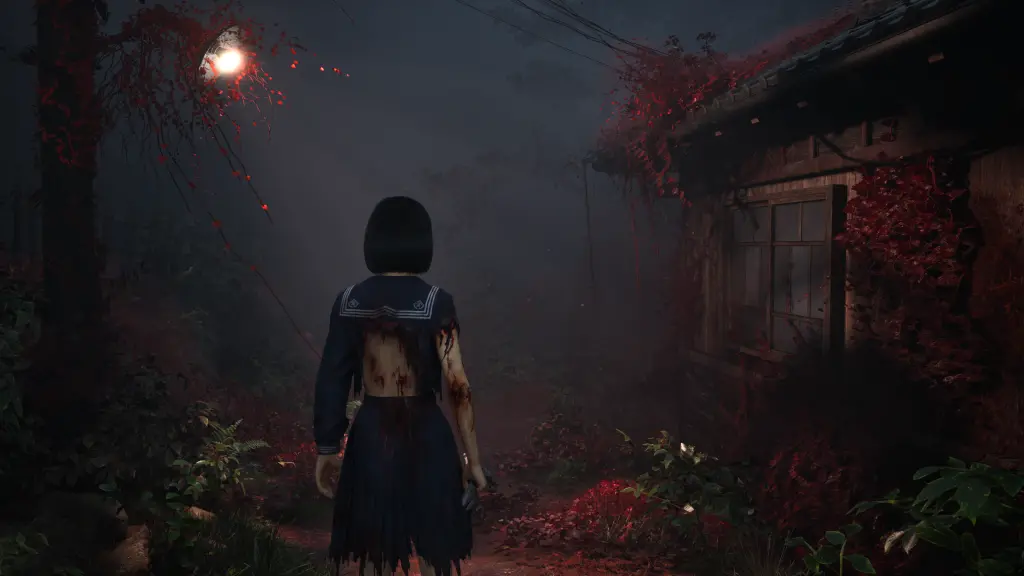
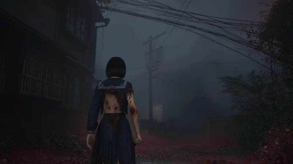
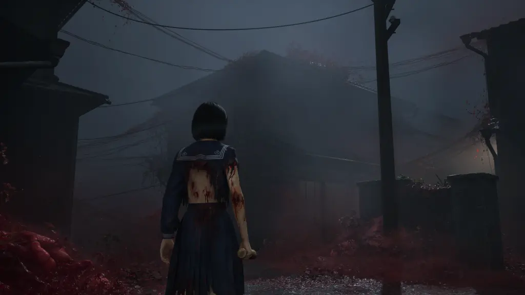
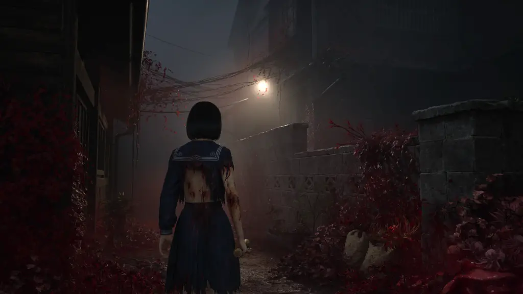
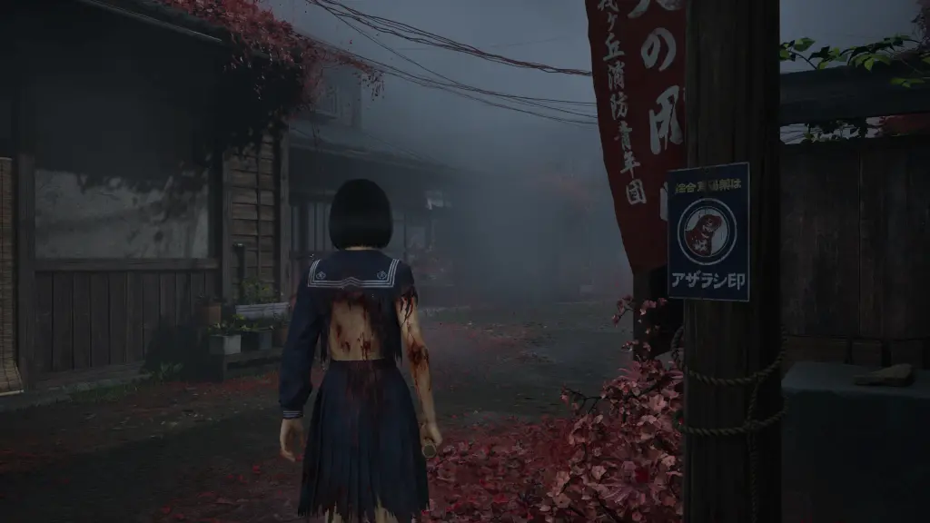
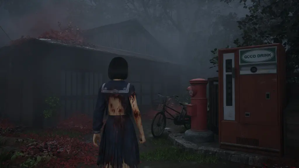
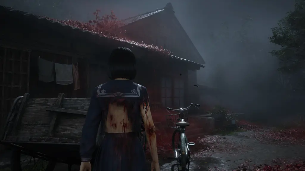
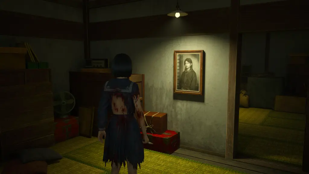
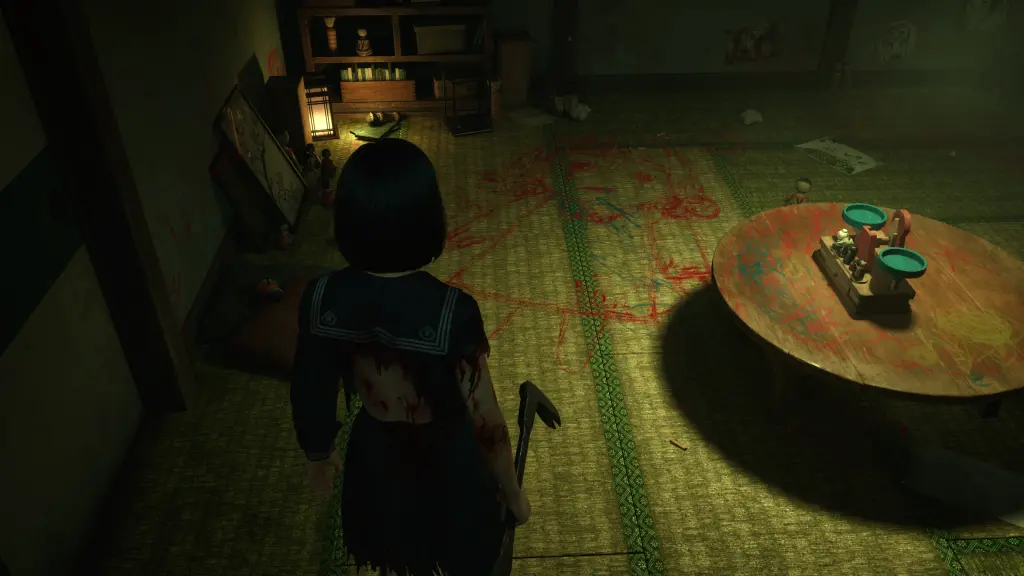
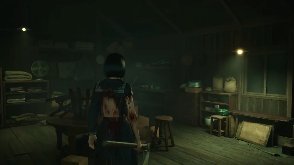
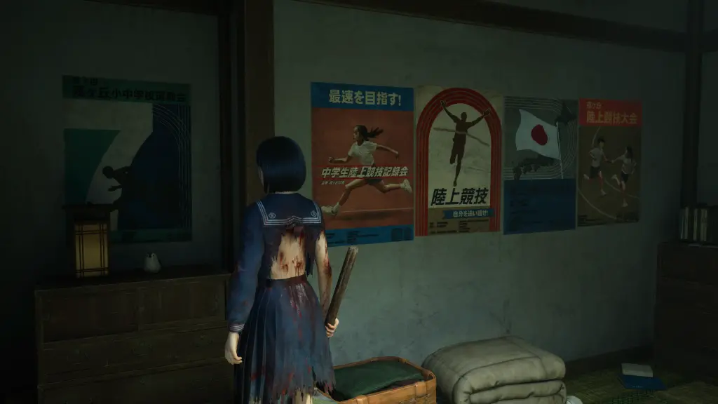
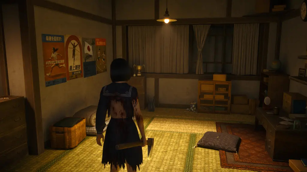
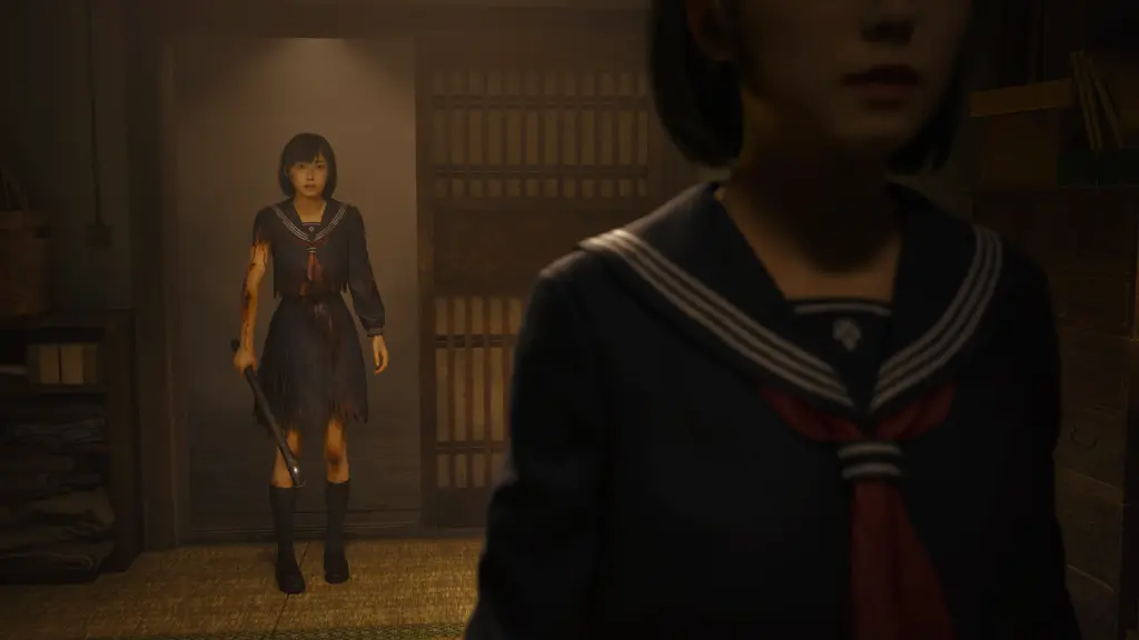
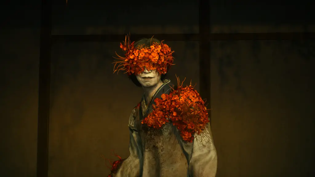
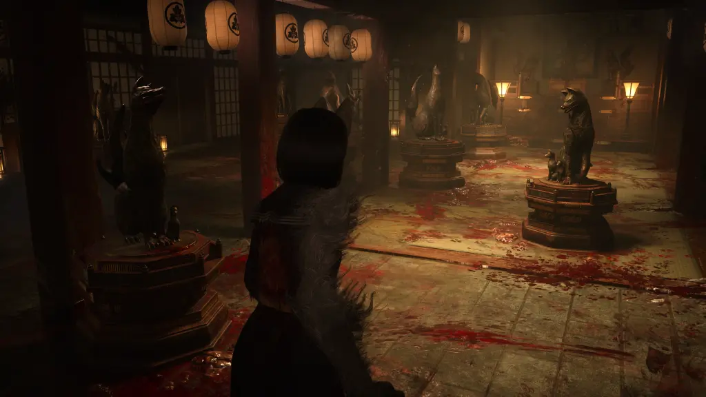
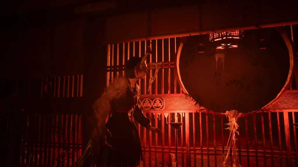
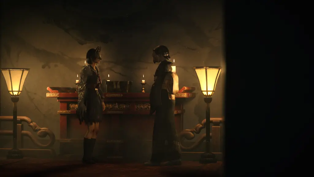
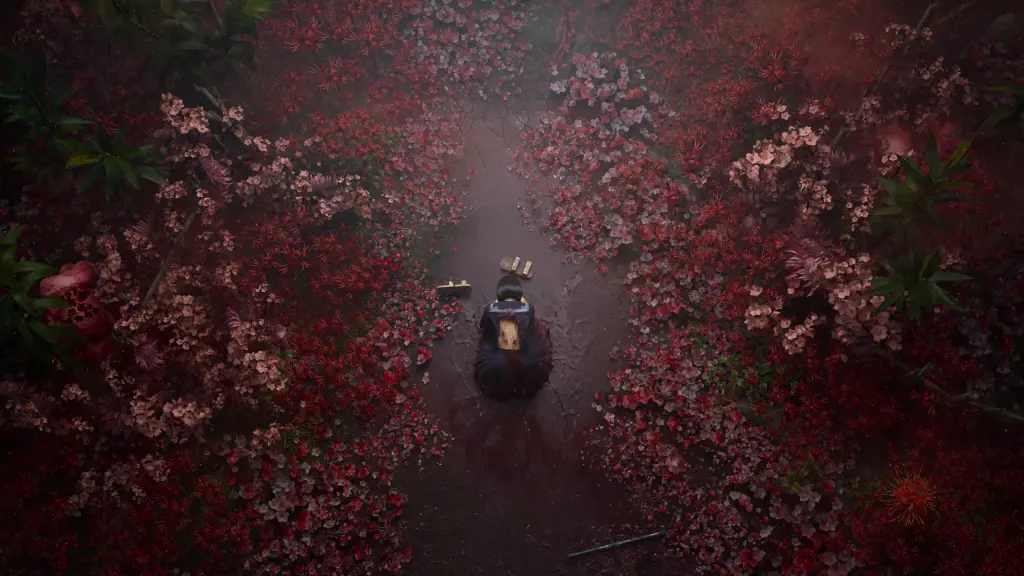
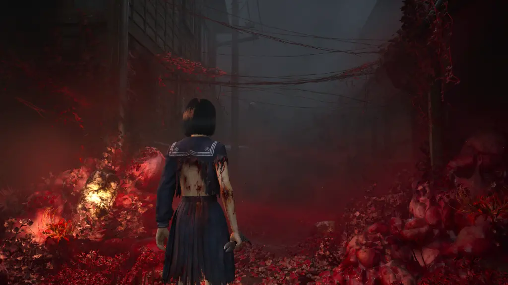
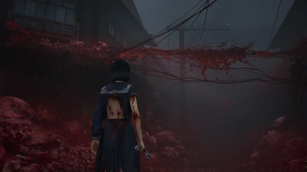
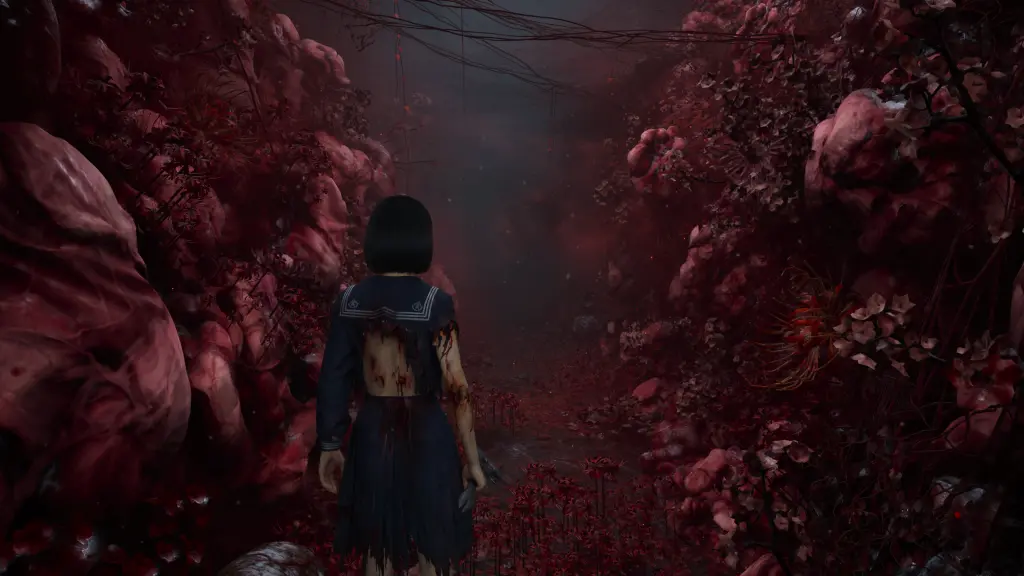
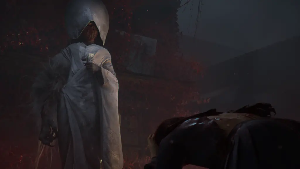
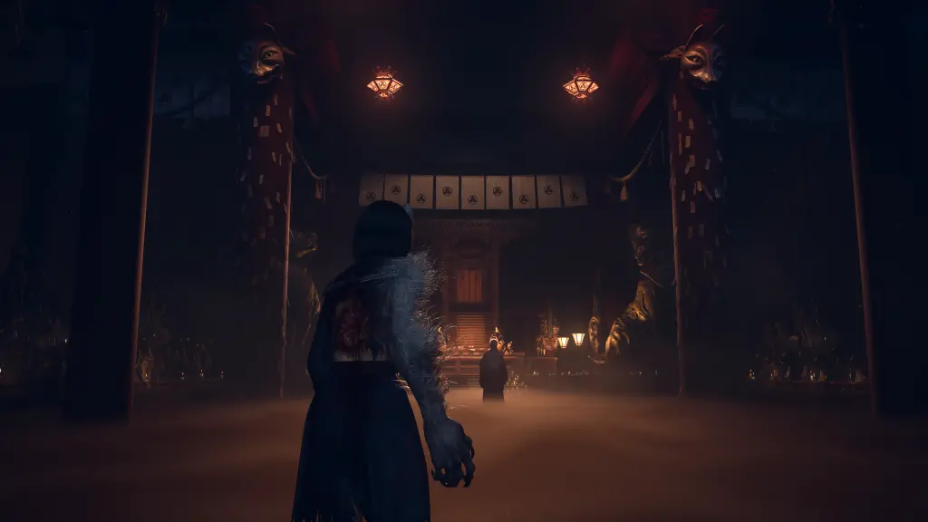
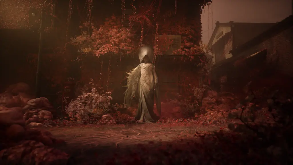
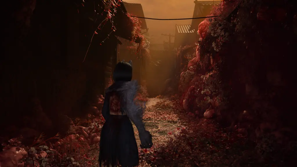
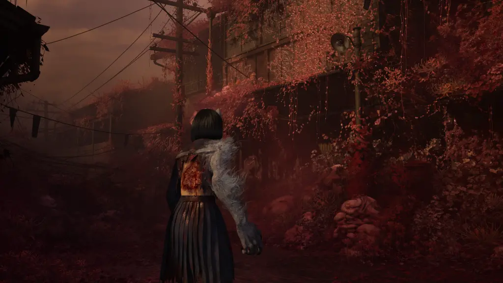
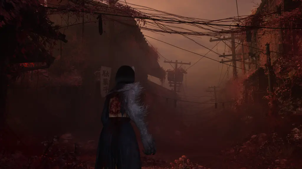
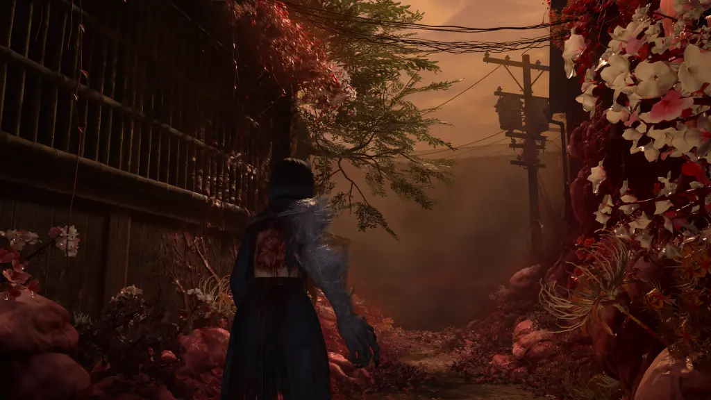
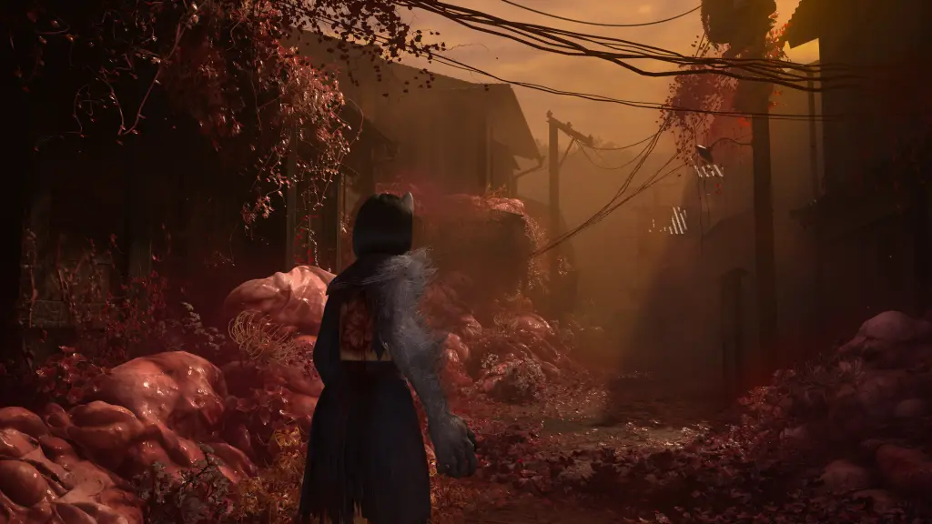
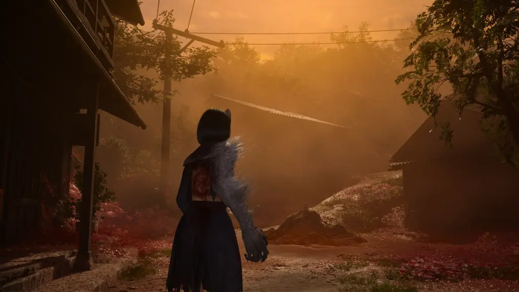
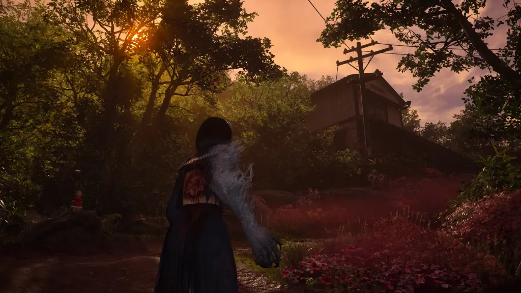
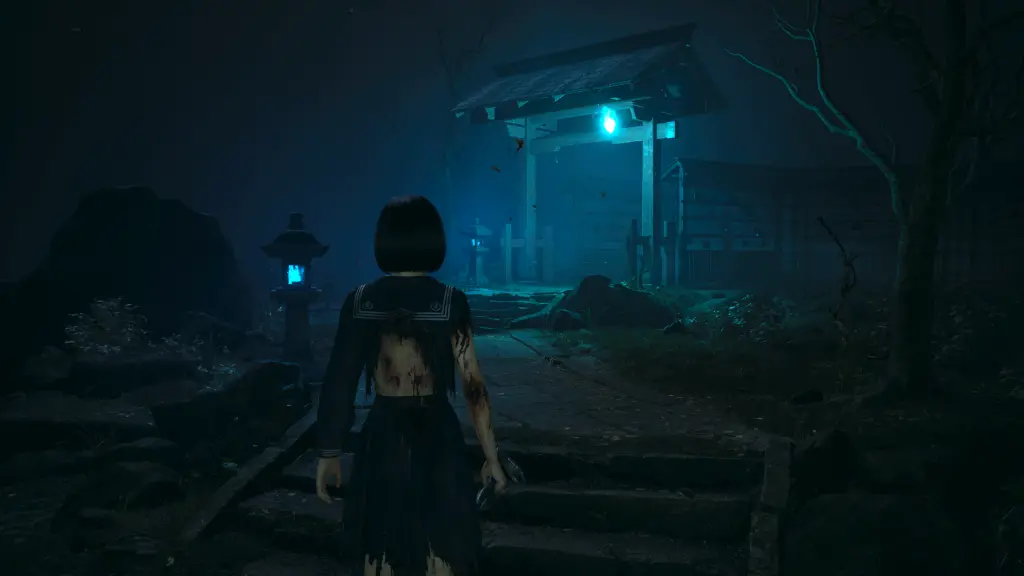
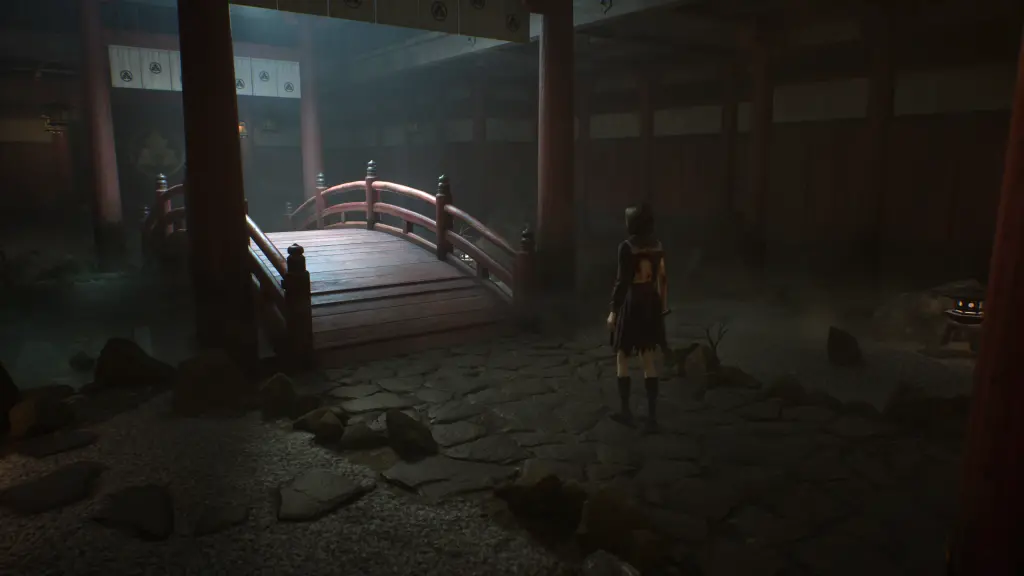
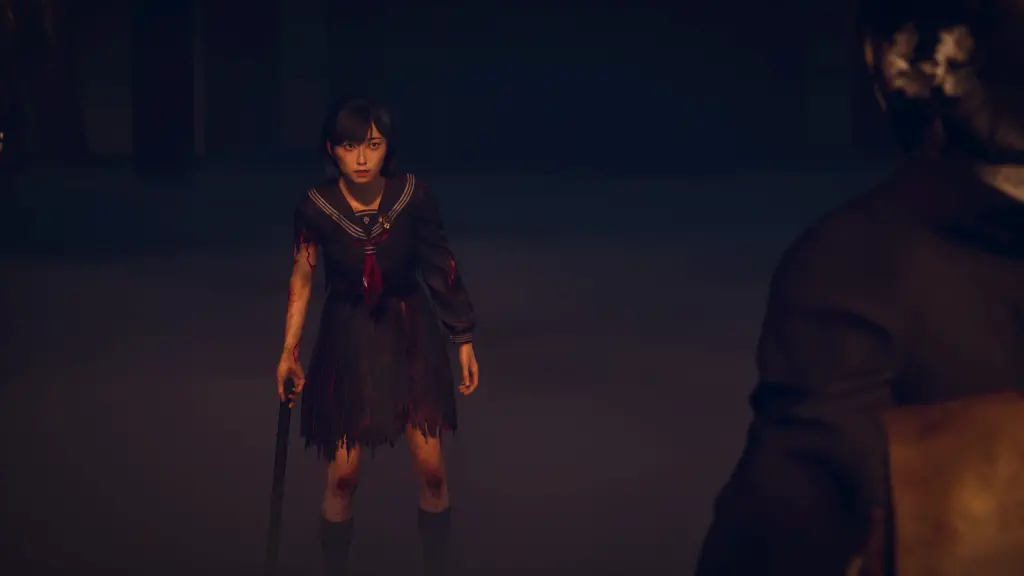
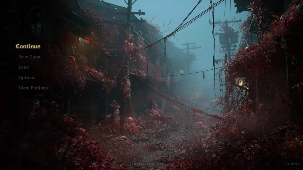
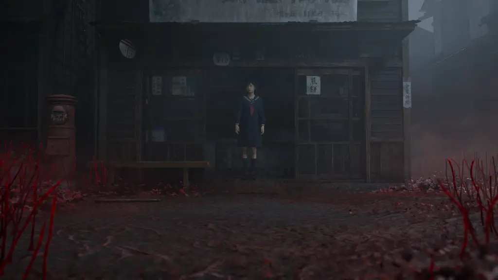
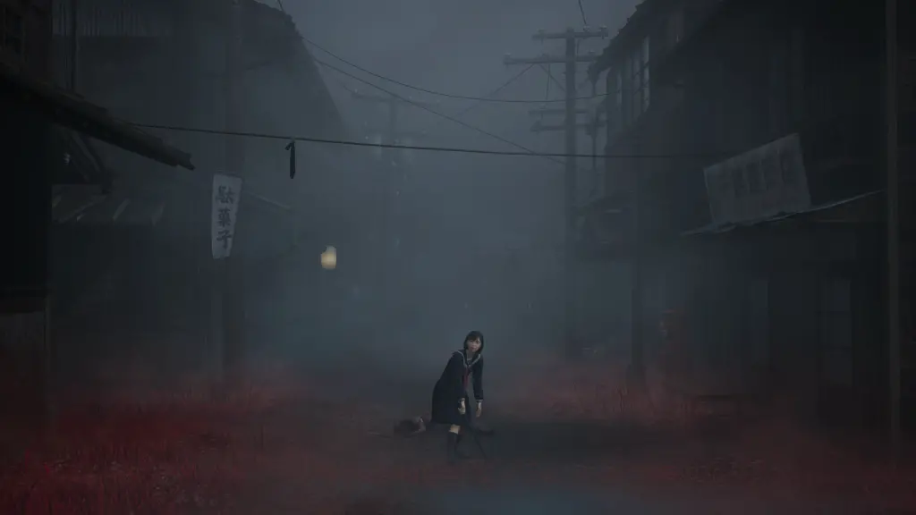
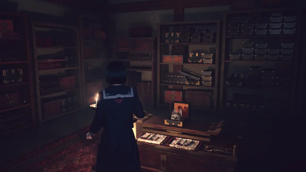
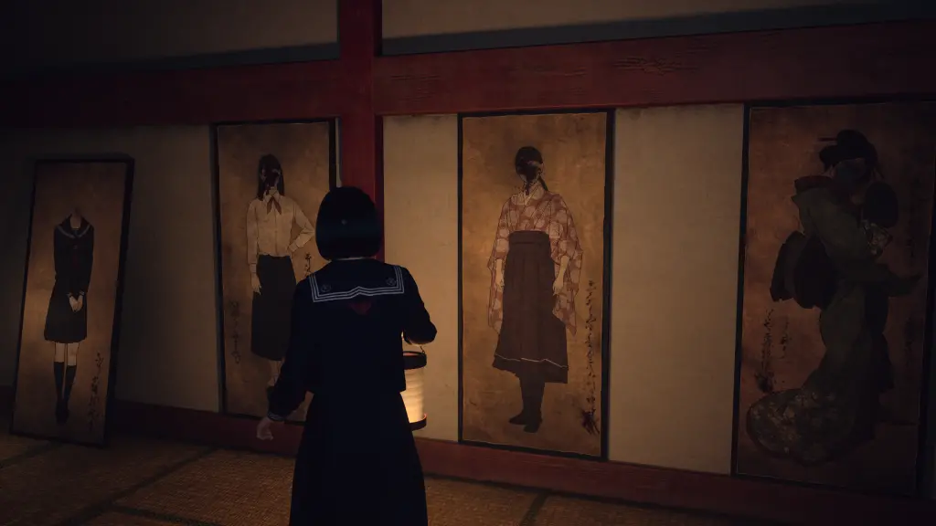
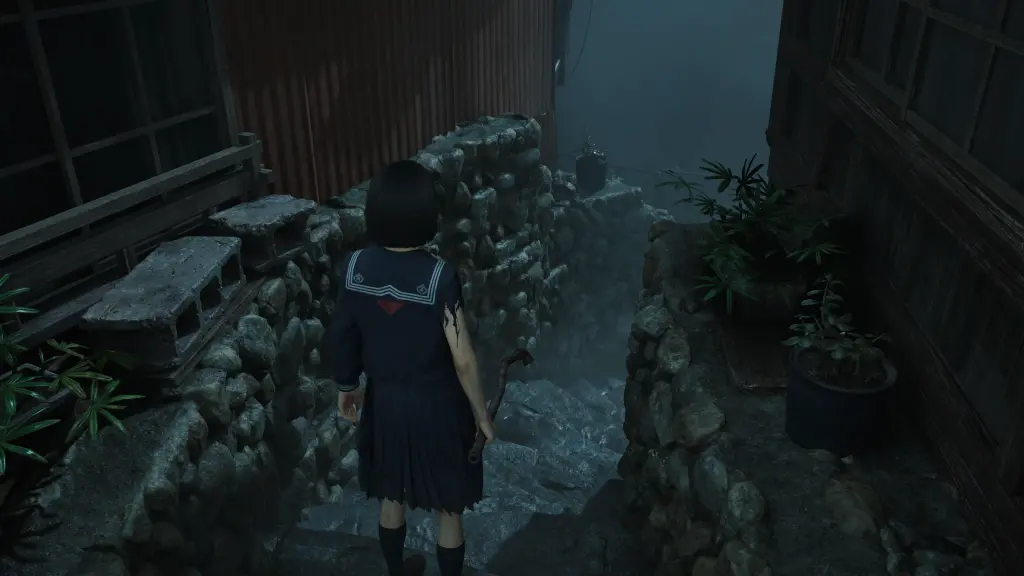
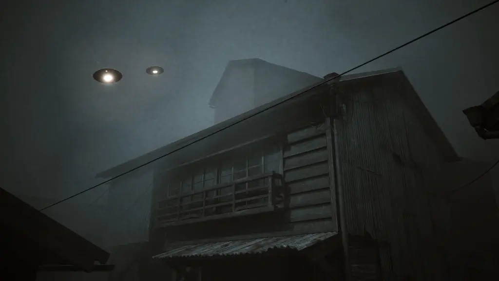
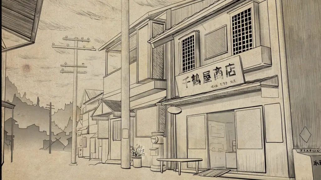
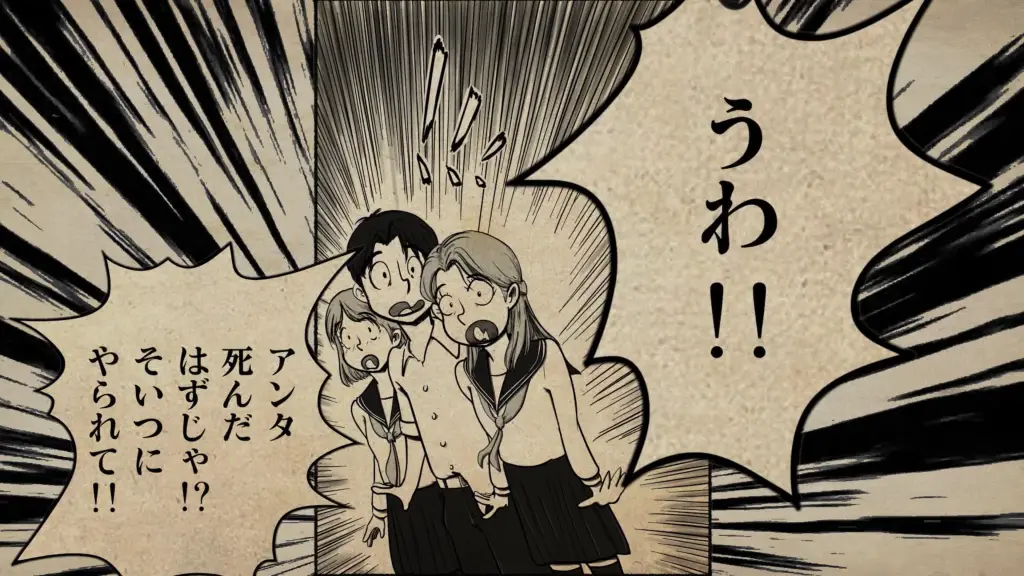
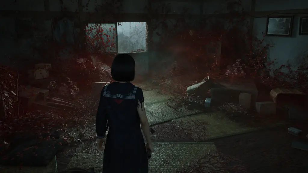
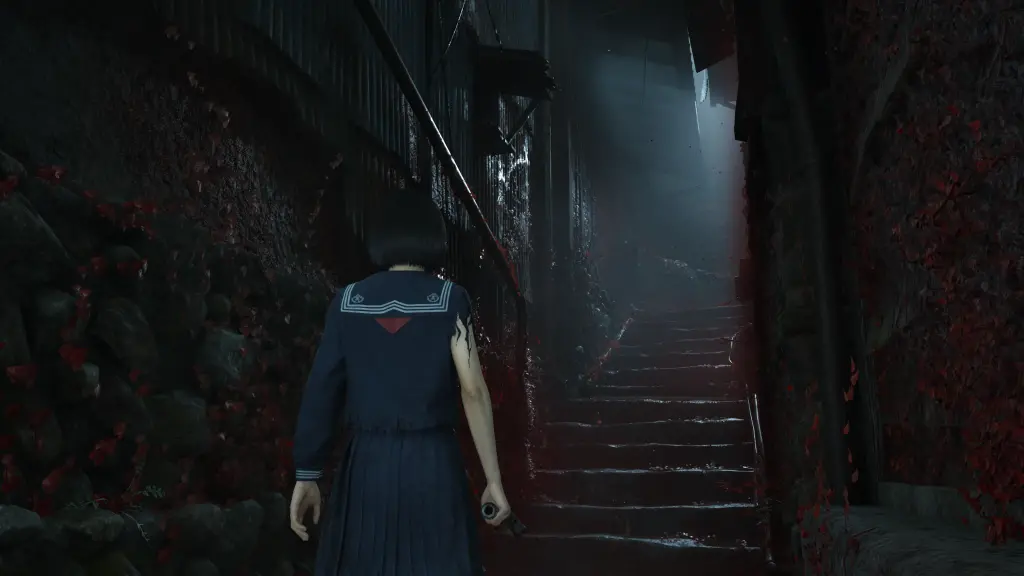
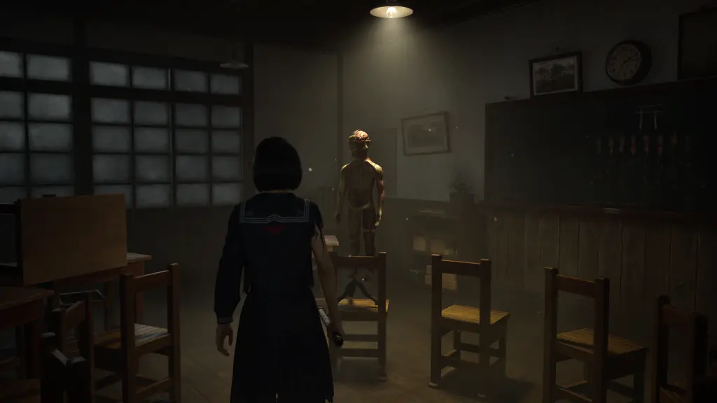
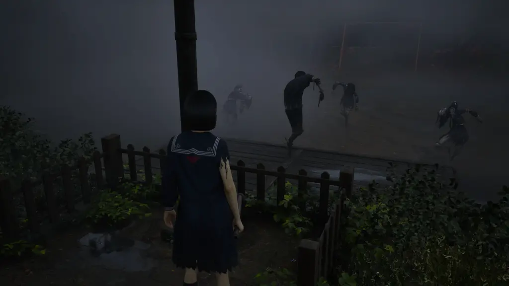
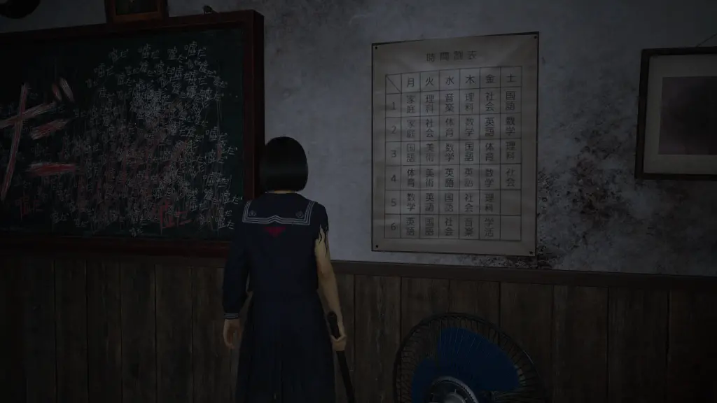
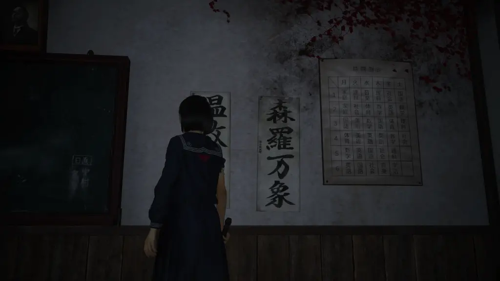
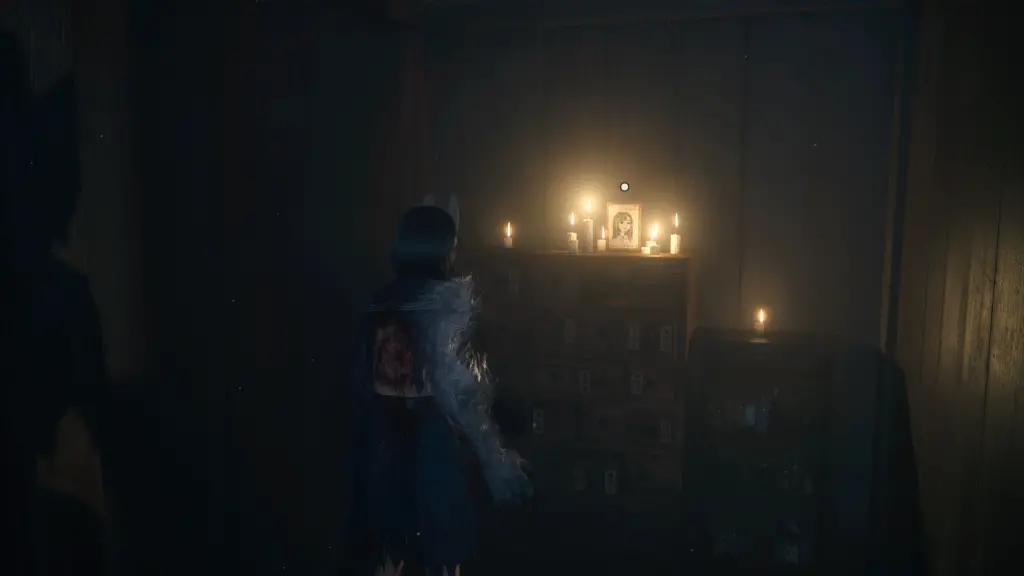
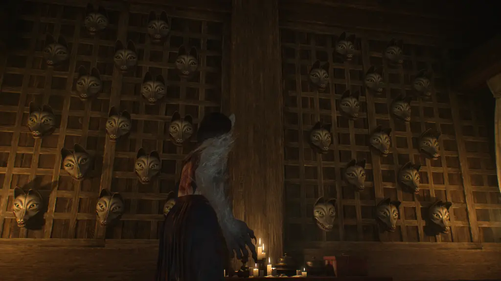
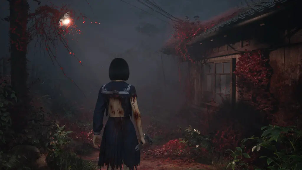
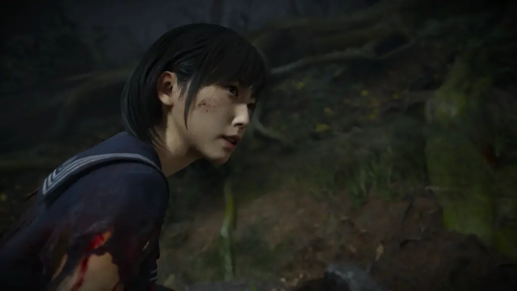
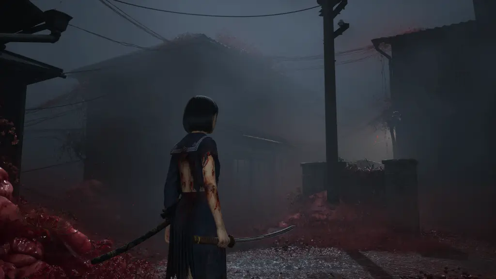
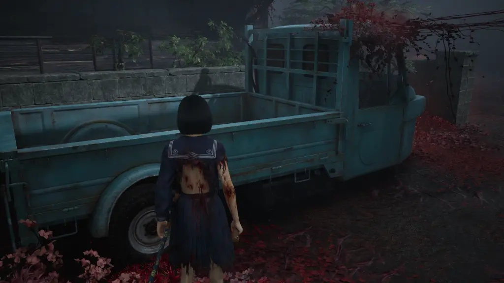
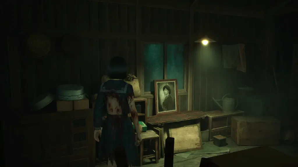
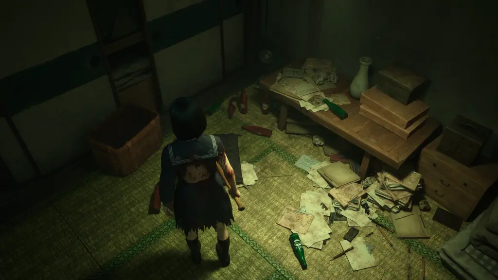
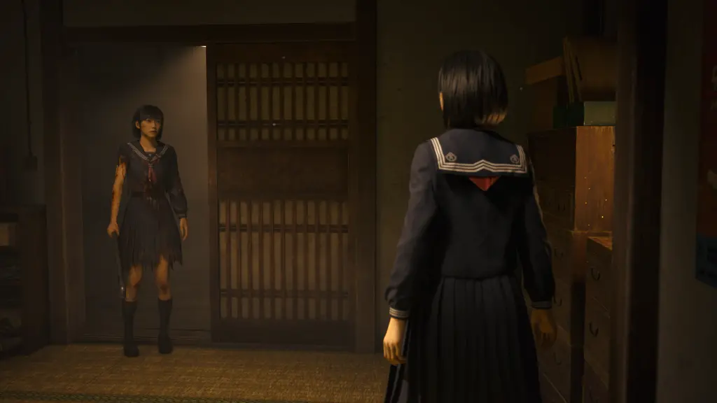
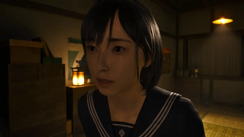
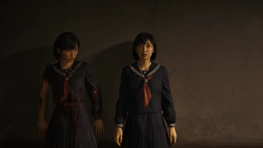
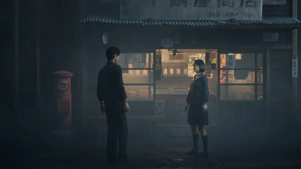
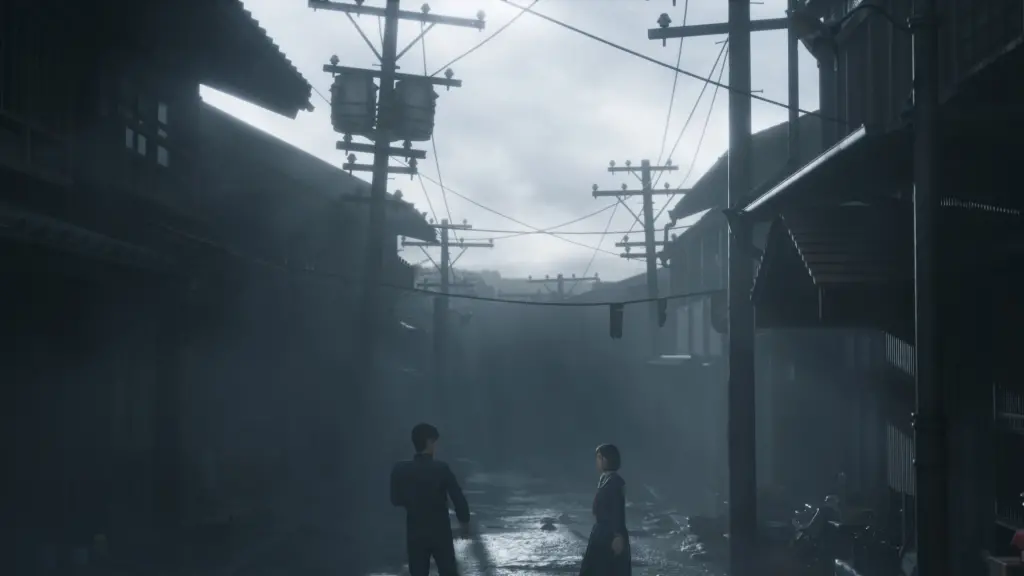
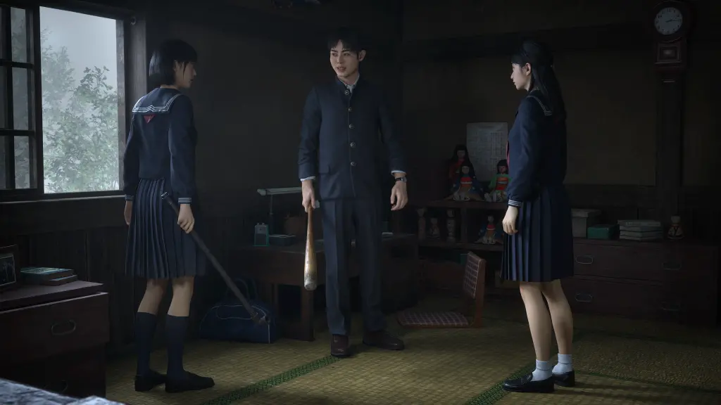
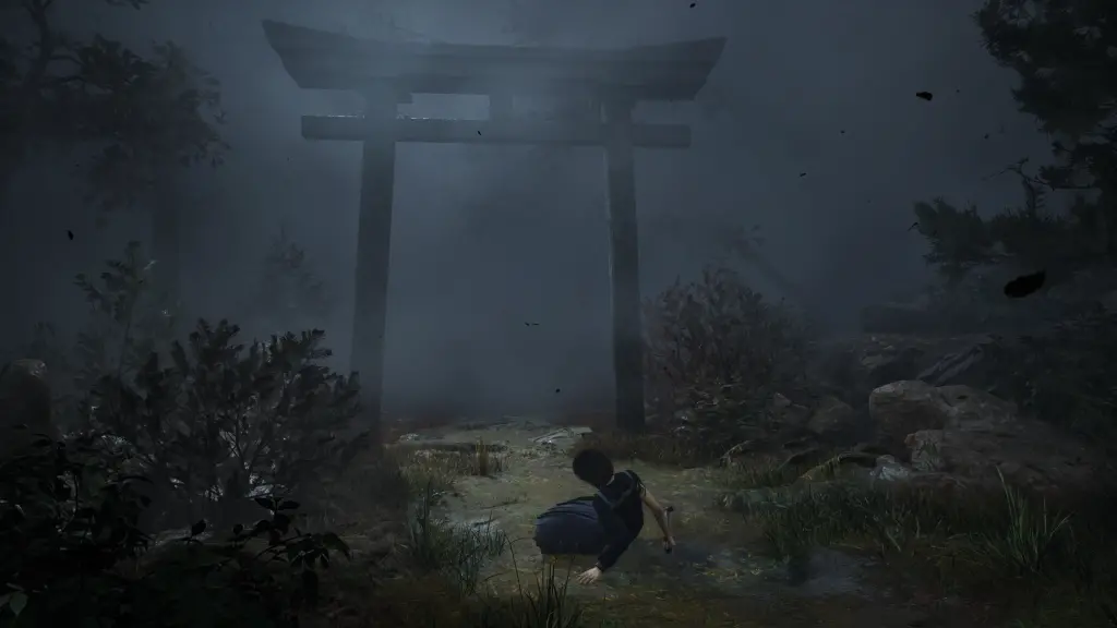
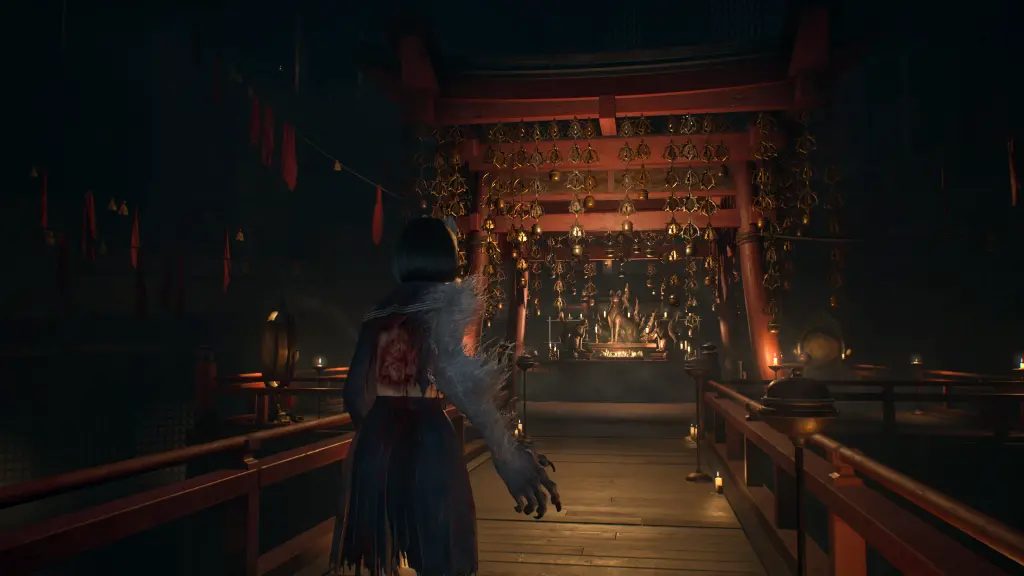
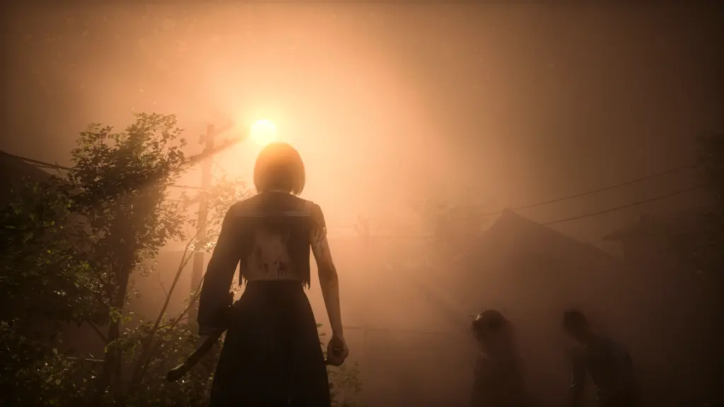
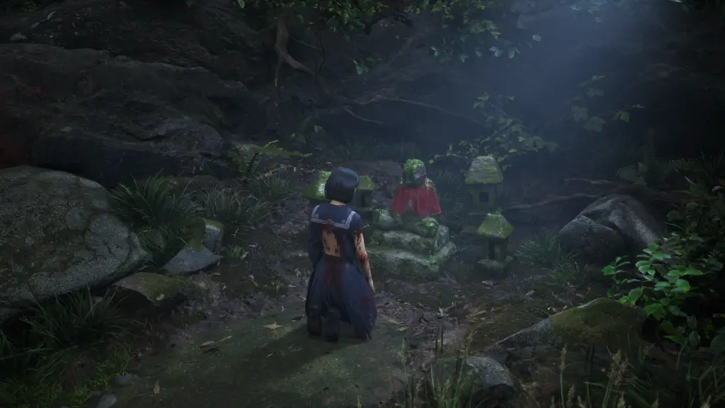
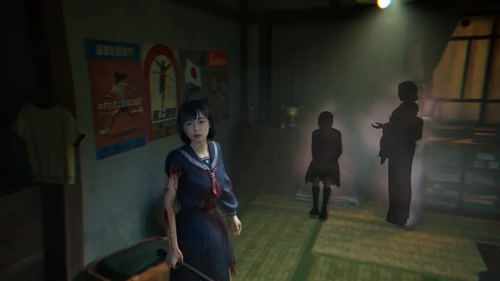
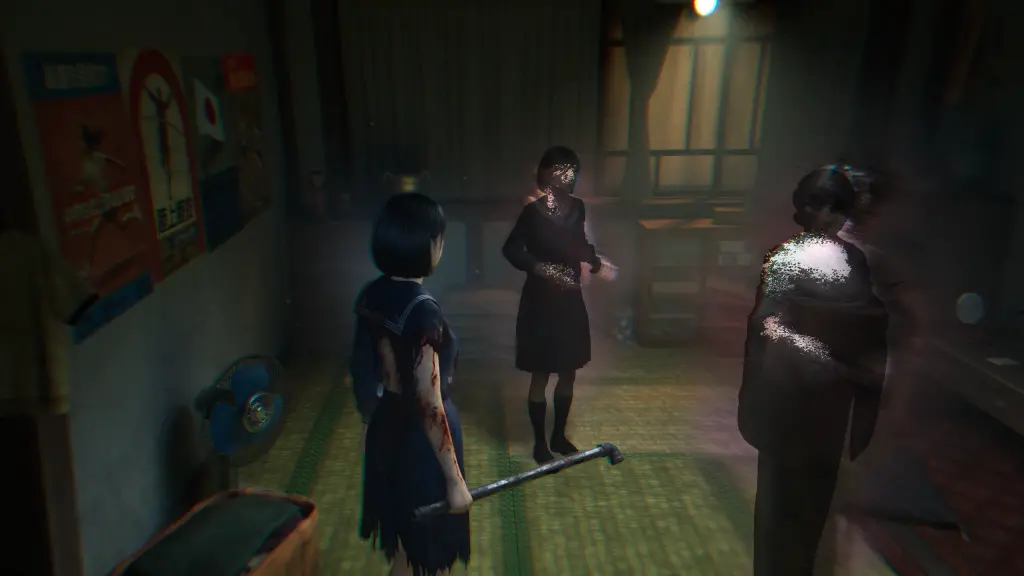
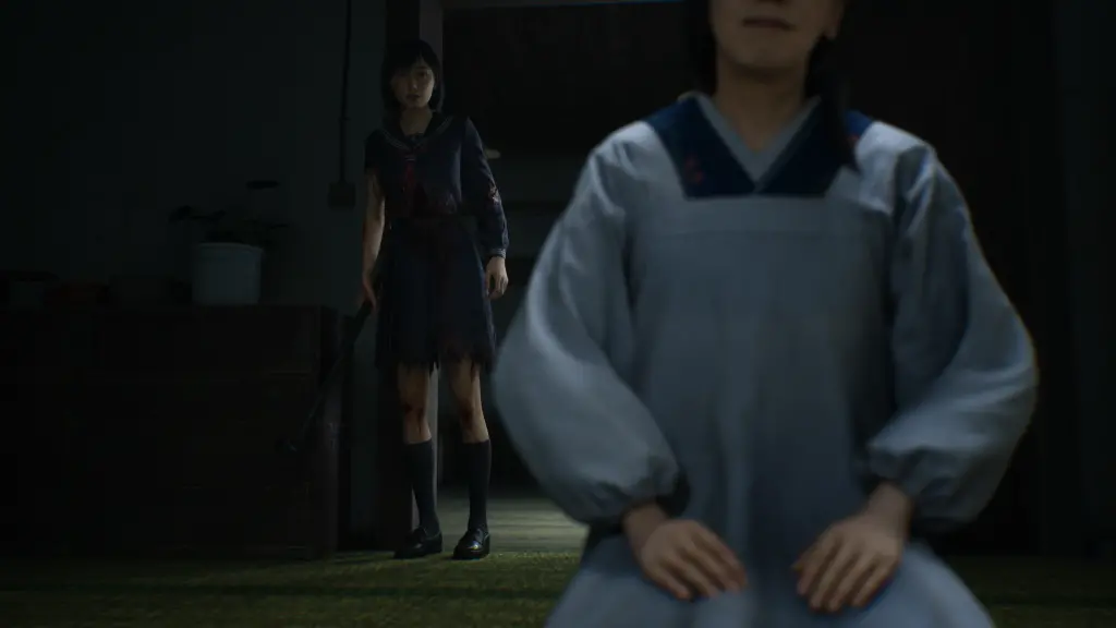
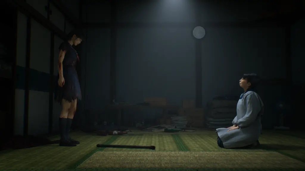
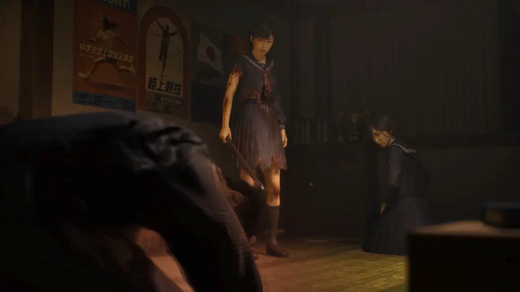
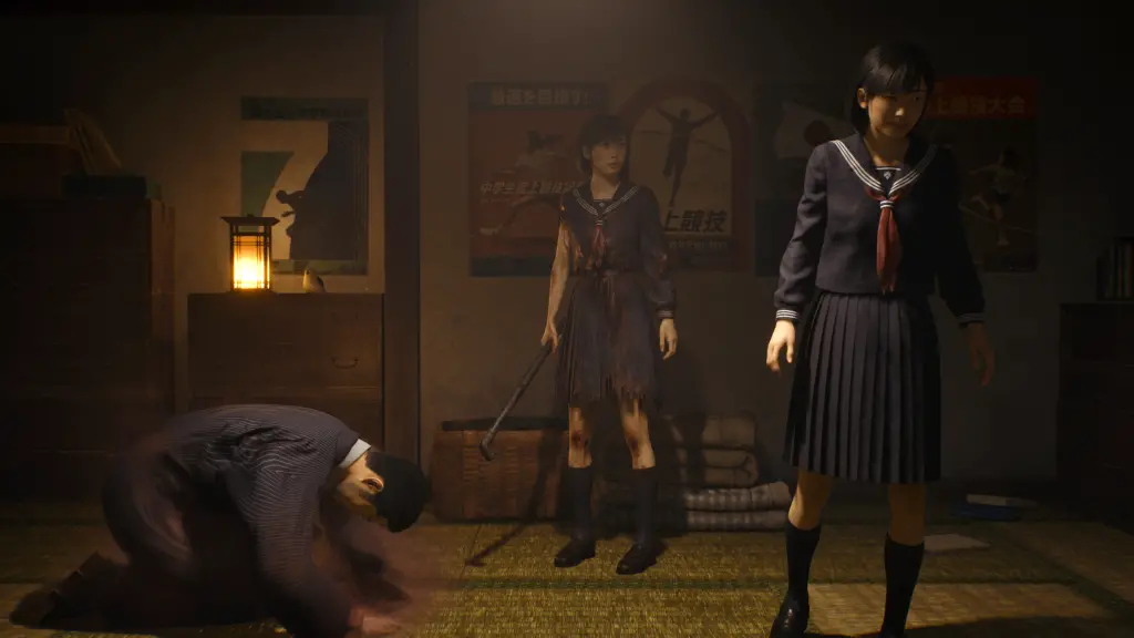
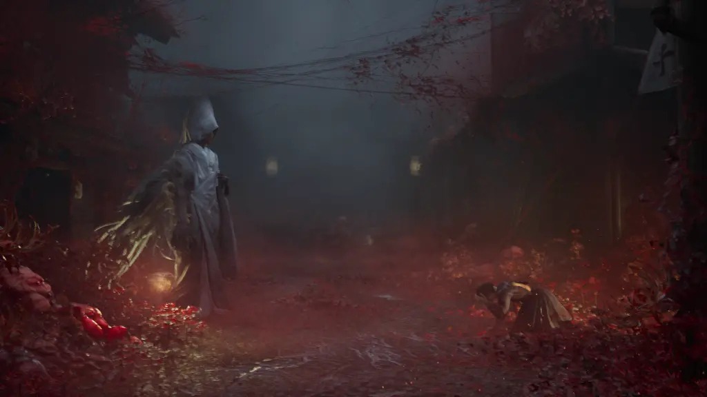
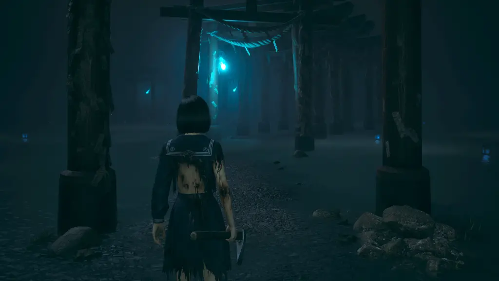
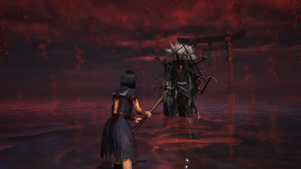
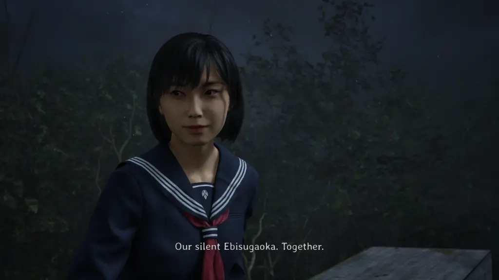
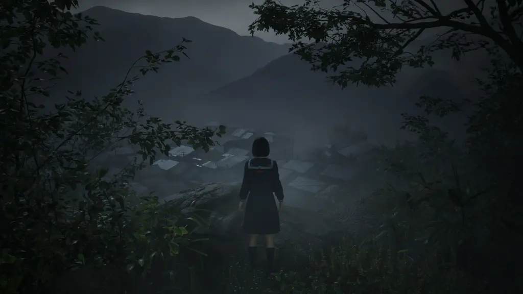
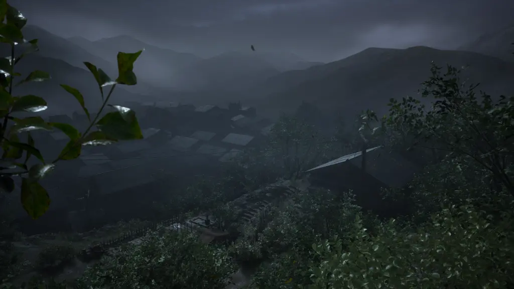
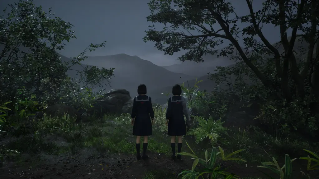
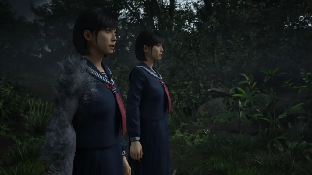
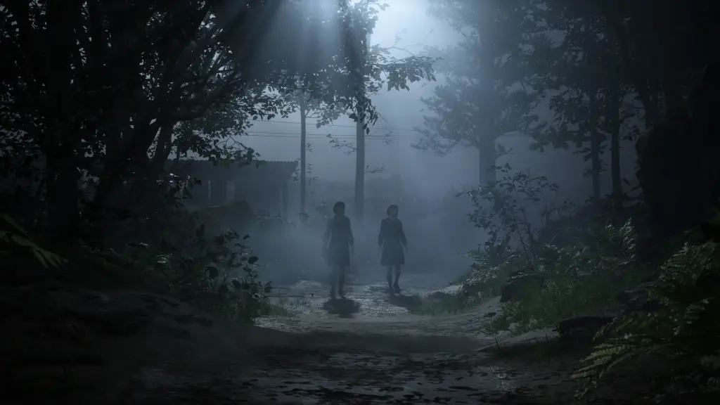
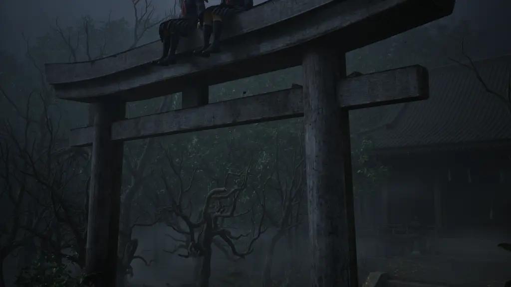
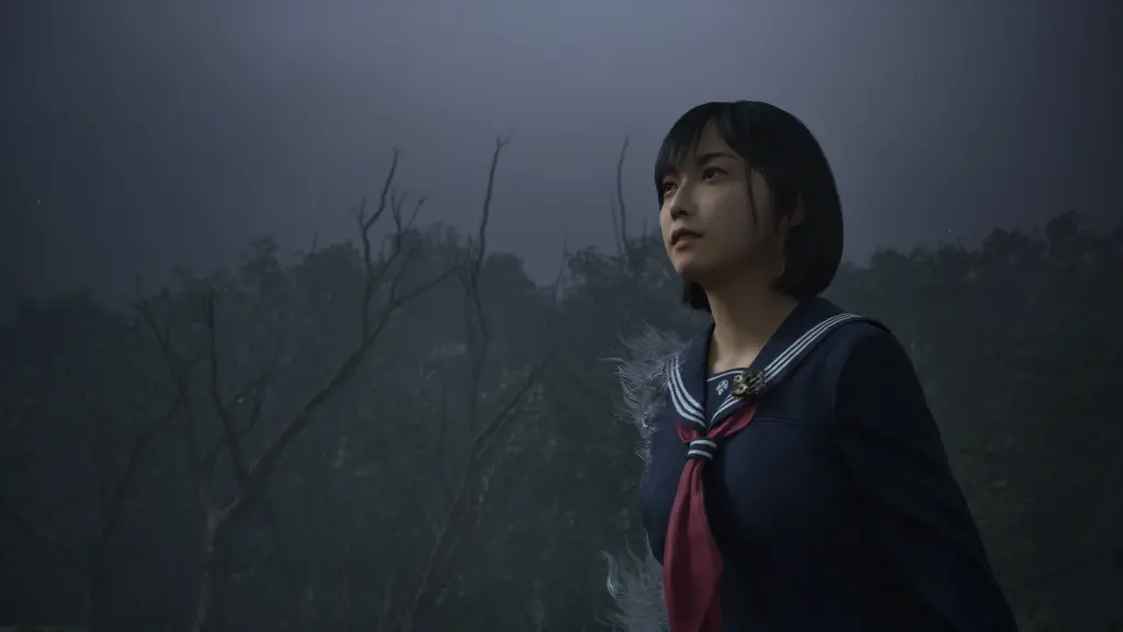
Mostly on a whim, I picked up Silent Hill f. Silent Hill is a franchise that I have very little interaction with, but I was very intrigued with the setting in this new game. It takes place in a rural Japanese mountain village in the 1960s, a location and time period I am very interested in. Recently, I have done a lot of research and traveling to similar old abandoned buildings and villages up here in the mountains. Its fictional town of Ebisugaoka even uses a nearby village as a reference.
Overall, Silent Hill f is an incredible work of art that continues to build its story on its fringes. I think it also builds a desire for knowledge about its themes and history, so people find themselves reading every note and scrap of paper they find. Everything forms together to create an overall picture I have tried to capture in this writing.
Also, the story is told through multiple playthroughs, and this post spoilers and tries to explain everything. I have spoiler warnings as the post goes on, but if you plan on playing Silent Hill f, I would suggest not reading too far. Experience the game for yourself, and come back later. :)
Silent Hill is a horror game series, and it refers to the name of the town where the game takes place (Silent Hill, Maine, USA), inspired by Stephen King novels and Twin Peaks. The overall series of games is like an anthology. Each game focuses on different characters when they find themselves in the town.
Like most people, I think, I have only played Silent Hill 2 back in the day on Playstation 2. I played through the game and got a couple of the endings. I never played the first game. I skipped it because it looked like a cheap version of Resident Evil. The second game felt like a better realized version of what they wanted to do.
There is a dense fog in Silent Hill, and within the fog, people who come to the town become lost and trapped. The fog becomes a metaphor for the turmoil and sadness in their lives, and those fears become physical manifestations. For example, there is a character who has often been rejected in their life, so the town feels cold and dark to them. He is often heard talking with nameless figures who don't return his gazes or conversation.
This is one of the tamer examples. Silent Hill features a lot of grotesque imagery and gore. These are physical representations of equally grotesque mental and physical abuses. Another woman, as the fog creeps in and alters the world into its netherworld state, views the buildings and walls as flesh. It often pulsates and pistons are shown violating it, refering to violations of her in her past.
I don't remember a lot about the actual story in Silent Hill 2, but I vividly remember a plot twist when other characters mention they haven't seen any monsters or grotesque creatures out to get them in the way you have. These monsters were unique and emblematic of your own haunted past, and beating them down is another way of the game showing how your character deals with his fears. Supress fear and trauma, and move on.
Silent Hill f departs from many of the ideas of the main series. The largest being the timeframe and setting. The game does not take place in Silent Hill, Maine, but takes place in Ebisugaoka, Japan around the early 1960s. (There are various dates on calendars in the game showing 1960 and 1962.) (I'll get back to this later, but Ebisugaoka was inspired by Kanayama village in Gero, Gifu, near where I live.)
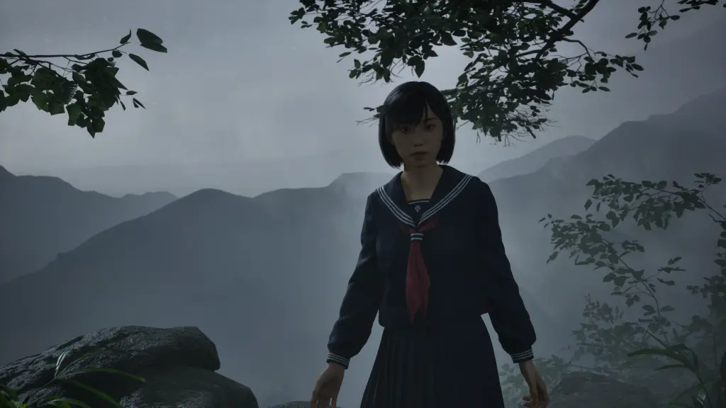
Our main character is also a large departure. We play as Hinako Shimizu, a female high school student. You aren't playing as a man with a flashlight, looking for his lost wife or daughter or whatever. As the writer explains, women in Silent Hill have traditionally been victims and suffered from the actions often determined by their male protagonists. He wanted to make a Silent Hill story where a woman had control of her own story and trauma.
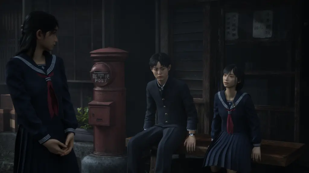
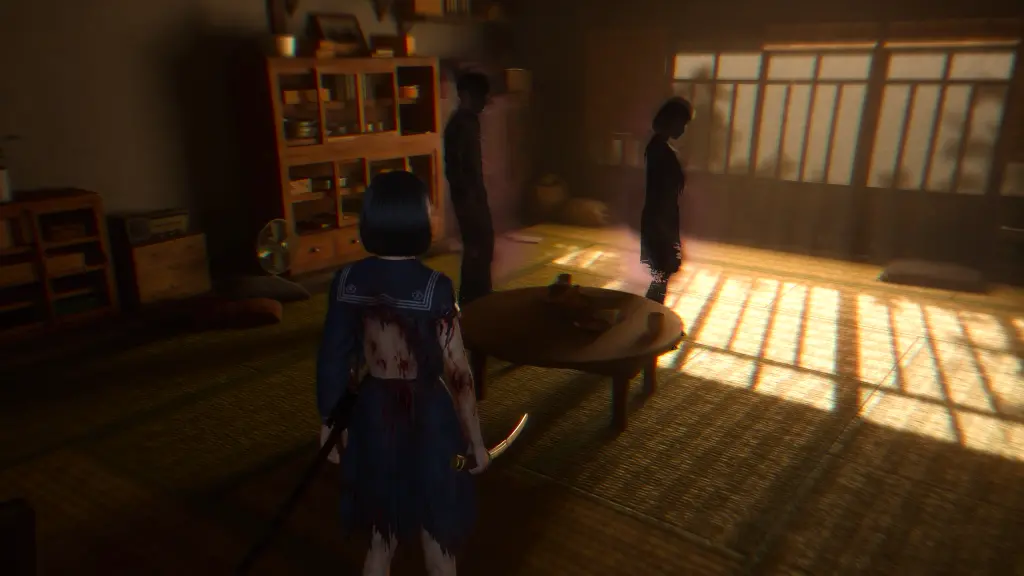
As the game begins, you have a fight with your parents and run into town to find your friends to talk. When talking with your friends in the town's center, the fog creeps in and consumes the town. Then monsters begin to appear.
Another departure from the main series is the singular focus of the threat. Your friends can see the same monsters just as plainly as you can. You all run away from them chasing you, and avoid them as much as possible. And they can die to those same monsters. While characters in previous games had their own fears raelized within the fog, this circumstance seems entirely based on you.
Although... Are your friends real? The fog creates a dream-like state that makes it hard to tell whether or not this is actual reality.
In previous games, a siren would blare through the fog and the real world seemed to alter and change into a darker version of itself. This is where monsters would appear and attack you. The Netherworld of Silent Hill f is a different plain of existance.
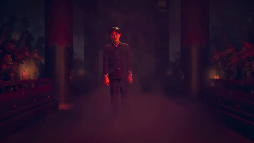
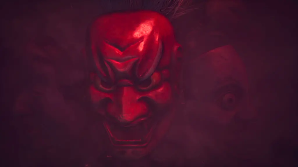
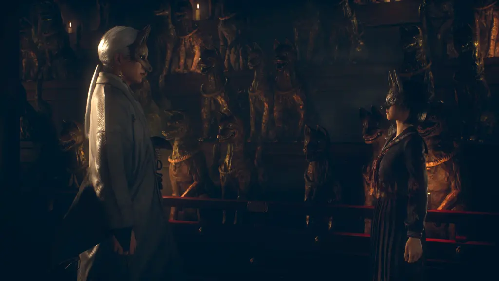
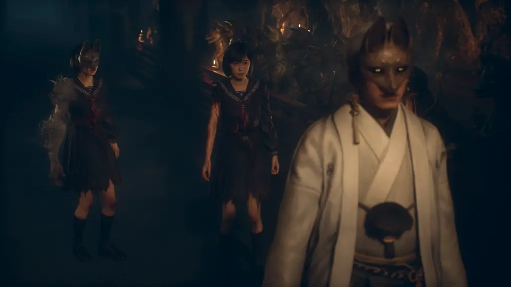
At the end of sequences in Ebisugaoka, Hinako will hear a pounding sound that knocks her out. When she wakes, she appears in an ethereal world of Japanese spirits with a man in a fox mask guiding her forward. She seemingly has no choice but to follow him and solve various puzzles to push her way forward, bringing her closer to the fox mask.
Progression in Silent Hill f bounces back and forth between these two worlds as you discover more about yourself, your friends, and the overall story that explains these events.
Akira Yamaoka is back! Yamaoka has been doing sound and music for the Silent Hill series since the beginning. (One of his earliest projects as Konami was converting sound and music for Snatcher to Sega CD and other CD platforms! Big fan!) Silent Hill 2 was his first project as a full lead for sound design and music at Konami. And he continued that role with Silent Hill 3 and especially Silent Hill 4 having more control as Producer.
One aspect of Silent Hill f that feels greatly heightened compared with previous titles is Yamaoka's sound. Silent Hill 2 was always eerie and atmospheric. There was that hum in the background, and the scratchy static of your pocket radio as you got near certain areas of importance. It built tension and uneasiness. But, it's impact never really stayed with me. It kinda felt like a gimmick.
It wasn't until Dead Space where it felt like sound design could become the centerpoint for forcing immersion you couldn't ignore. Music and sound in games has always been important, but both Dead Space and Silent Hill f overpower you with sound. It's like an assault on your ears and it conveys an overall sense of dread and danger as monsters lurk and hunt you. Occassionally, monsters will hide in the sound.
Silent Hill f does have some ballads, but most of the music heard through normal gameplay doesn't have a lot of strong melodies to grasp. It often feels like chaos with pounding taiko drums, sharp twangs of Kote, and other unnerving sounds from traditional Japanese instruments mixed with modern electric guitars. It feels like chaos, but its organized chaos. In some ways it feels like a modern society being held back by its traditions.
Headphones are necessary for the full experience. You feel completely immersed in the situation, setting, and story, and sometimes it gets so loud, you want to cover your ears, but you can't. The sound sometimes makes you feel like you're struggling to break free, much like our main character, Hinako.
Despite wanting to give women more agency, Hinako often takes a very passive approach to any slights or aggressive towards her (at least in the beginning). When it sounds like your friends are talking behind your back, you say nothing. When your "boyfriend not boyfriend" Shu asks you your feelings, you don't answer directly. Also, you seem somewhat controlled by the fox mask in the netherworld. These microaggressions do build, but they are compounded by the overall theme of Hinako's trauma.
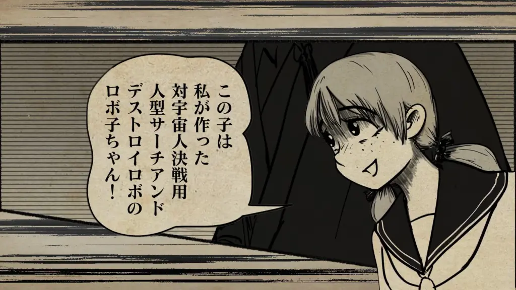
As a child, Hinako hated playing with dolls and loved playing outdoor games with Shu. They often played this make-believe space wars game together and ran around the neighborhood "shooting aliens." But, everyone thinks this is odd and makes snide comments about how she'll never get married if she gets scars. They yell at Shu as well to stop playing with girls. But they still play together, and refer to each other as their partner.
Because of this forced separation, boys and girls don't talk to each other with familarity or as equals. (A bit of this is lost in translation with the English dub.) As teenagers, this separation is pushed further as they are now nearly adults. Society forces Hinako to act more like a woman. It's weird that Shu treats Hinako like a true friend and an equal.
Their behavior particularly annoys their friend, Rinko, who has a crush on Shu. Their behavior makes Rinko incredibly jealous, especially when Hinako doesn't seem to put any thought into being a girl or even acknowledge any possible romantic feelings Shu might have for her.
Hinako's hatred towards forced gender roles goes further when you learn more about her family. Her father is abusive. He is verbally and emotionally abusive to his wife and daughters, and we read later that he is also physically abusive to his wife, Hinako's mother. He takes the frustrations of his life out on them by always yelling, and blaming his faults on them.
His actions are reenforced by society's standards (1960s rural Japan), and it's rather common behavior for men. Women are subordinate. You read later that other households in Ebisugaoka tend to be the same. Hinako finds a letter from a woman terrified of her life from her husband beating her. But she can't run away and leave her children behind. "Life is too hard to keep living, but I'm forbidden to die."
Hinako hates him for all of his abuses, and she hates her mother, too, because she always takes his abuse, and she always covers for him, lies for him, and defends him. In a flashback, Hinako actually stands up against his abuses by yelling at her father, pointing out his mistakes, and yelling at her mother asking why she doesn't stand up to him. But, by society's standards, Hinako is the one out of line.
Both of them yell back at her. The mother defending the father, and the father acting out against her. To end this argument, her father throws his large cooking knife at her, and it sticks in the ground at her feet.
The overall forced gender roles is the center of Silent Hill f.
Throughout the game you face against grotesque monsters that follow this theme. You fight female mannequins who are puppets to someone else's wishes. Blind male monsters who want to grab you, beat you, and lick you. Faceless brutality. Male monsters with multiple heads and eyes looking all directions spewing bloody bile on the ground spreading their filth. And bloated pregnant monsters spawning more puppets. Gross, but it's inventive how Silent Hill f creates its own monsters rather than relying on Japanese yokai for designs.
The game continues to build as you meet the physical representation of the fog, yourself.
The narration leaves you in the dark on a lot of details surrounding Hinako, her friends, and family. These details slowly reveal themselves through reading newpaper snippets and documents found throughout the game, and some dialogue between characters.
Hinted and foreshadowed at the beginning, Hinako must make a decision, although this decision is forced on her by her father. That decision is a marriage proposal, which terrifies Hinako.
What does marriage actually mean in Japan?
After World War II, so many of Japan's old ways were revised and "modernized" with a new constitution. Some of the largest changes were women's rights, many of which were only recently ratified in America.
In pre-modern Japan (up through the 1860s), the concept of households became the basic building block of society. A household, or your family unit, not only determined your social status and role in society, but defined you as a person. To build a family and serve your household was your purpose in life, and supporting you family above your own interests was paramount. Wikipedia mentions a quote, "the choice to remain single is the greatest crime a man could commit."
The father was head of the household and he was legally responsible for all family members. (This also means that his family members were legally bound to him.) Finding marriages for his children was one of his main responsibilities. Love and feelings had nothing to do with marriage, and it was seen as childish and improper to have any kind of preference in a spouse.
When a woman married, she married into the other family. Wikipedia mentions that the old word for marriage in Japanese was yomeiri or 嫁入り. When you separate the bits of kanji apart, it says, "the woman enters (or joins) the home." The other household takes the woman into theirs, and she abandons her old household and her old family.
As a member of her new household, she basically becomes a maid. Men were taught and encouraged to place the needs of their parents and children before the needs of their wife. Another fun Wikipedia quote, "If you love your wife, you spoil your mother's servant."
During the Meiji Restoration (starting from around the 1860s), these ideas not only continued but somewhat strengthened. Rapid industrialization and urbanization brought more families together into densely packed cities. Public education became more and more universal, which pushed family roles and gender roles as a matter of fact. People were to first devote themselves to the nation, then to their family, then to themselves, and fill their roles within. Women were taught as daughters to obey their father, as wives to obey their husband, and as widows to obey their sons.
There was extreme segregation of genders during this period, too. Boys and Girls were separated at schools and social gatherings. Unwed men and women who became romantically involved could be fired from their jobs or even arrested (in WWII). Another quote, "It is deemed a sign of mental and moral weakness to fall in love."
As education for women became more common, women began to fight back. Wikipedia mentions that Japanese women's fight for divorce around 1900 was the beginning of Japanese feminism. Though, it wouldn't be until the 1920s when they had their first success changing a single law. The fight continued for decades about voting rights, divorce, and other antiquated laws until their whole government was rewritten.
After Japan's surrender in 1945, the United States rewrote and rebuilt nearly all aspects of Japanese government which trickled into Japanese society. Women had their voting rights, divorce rights, and were now legally equal. "All people are equal under the law and there shall be no discrimination in political, economic or social relations because of creed, sex, social status or family origin."
However, writing this down on a piece of paper and saying its true, doesn't make it immediately true in the eyes of people who have lived for centuries under the opposite idea. It takes time for change, and even more time in isolated rural villages where people tend to follow their own laws.
Wikipedia Sources: Japanese Marriage and Japanese Feminism.
One other thing to point out is that through arranged marriages, it was a tradition for the groom's family to "pay" the bride's family. Often the "price" was meant to boost their bride's family status to become more equal to that of the groom's. I think families always tried to bargin their daughters off into equal or weathier families, never down.
Putting a smiley face on it, it's a showing of appreciation to the bride's parents for raising such a good (or obedient) daughter. You could also maybe think of this as compensation for losing a family member. Or, you could think of it how it actually sounds, human trafficking. Seems like fathers were barginning for their daughters and being sold as property, especially if their new household legally "owned" them.
I think in some areas and families in Japan, bride prices may still be practiced.
Through Silent Hill f's first playthrough and first ending, all the hints and signs come together that Hinako is being forced to marry.
Her path in the real world is her true self. Her friends are killed one by one, and her parents are killed in front of her. In marriage, she would be torn away from her life, so her friends and family of her past life would be as good as dead to her. You also read random snippets of newspaper saying Shimizu Hinako has disappeared or died. Through marriage, she would be erased from town.
Moving forward trying to find a way to fight the fog, the fog slowly consumes and corrupts town with entrails, pulsing flesh, and red blighted flowers.
Her path in the etheral world changes her. Fox Mask leads Hinako down the hallways of ceremony and rituals. Her arm is sawed off and replaced with another. A massive hanko burns and melts a new family crest into her back. And her face is sliced off and replaced with a mask that matches Fox Mask. Hinako is becoming his property.
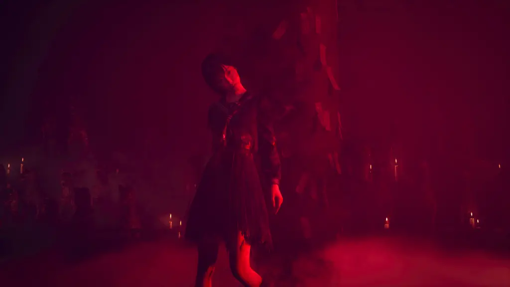
At the very end of the ceremony, she quivers and collapses as red blighted flowers consume her body. Then she rises as a faceless woman in a Shiromuku 白無垢, the traditional Japanese wedding dress.
This is the figure driving the fog in town. As Hinako faces the Shiromuku in town, she kills you and takes over your life in the real world.
As true Hinako, you wake in the etheral world of rituals. Your true self has not been fully snuffed out. And you face against the Shiromuku. (Ending 1 Spoilers) After defeating the Shiromuku, the enemies come pouring in after you. As you beat them down, you flash back and forth between the celestial plain and the real world. The corruption goes away and is replaced with police sirens and flashing lights. It becomes known as the wedding massacre.
Ending 1 makes sense, but it's also a bit of a let down. Hinako became so consumed with fear of marriage that she killed her family and friends at her forced wedding. We're never really told who she married, and everything (all the monsters and etheral world) just being a hallucination throws away many of the themes and imagery built up over the course of the story. It feels empty.
But, the game isn't over.
Ending 1 hints at the red pills you've been taking the entire game to refill health as sinister. After making a completion save, the menu maps out requirements for multiple endings, a total of 5. Ending 1 is the "red pill" ending and you're forced into it for your first playthrough. Other endings can be achieved by avoiding them all game. Completing a second playthrough can result in one of two endings. And then a third playthrough is required to get the final fourth ending. (There's also a secret goofy fifth ending available in the second playthrough.)
When starting a second game, cutscenes are different and there are more pieces of information available to find. You are given a more direct information and explanations on what's going on and how everything is connected. Not including the goofy ending, the other endings make full use of the themes and imagery.
The major spiritual theme of Silent Hill f focuses on foxes. Maybe that's what the f stands for?
In general, Japanese folklore treats foxes as mischievous spirits who always try to trick others into doing what they want or giving away what they treasure. The moral of the story is to not trust a fox. Although, often foxes end up getting comeuppance for their deads, so the other moral of the story is to not be a fox. Don't trick or deceive others.
But, foxes aren't all bad. The bad ones often take human form. The good ones are more of a component of nature.
The Inari Gods in Shintoism began as gods to worship to protect or increase yields in rice farms. Foxes became associated with them because they are a natural deterrent against rodents who destroy rice fields. Foxes eat those rodents, and through some evolutionary traits, fox urine has become a natural repellent for rodents. Folks in olden times would present a fox urine soaked rock as an offereing to an Inari shrine. Thanks for the piss?
In folklore, foxes tend to be loyal to their debts. Good deeds are often repaid. And bad deeds are often met with mallice.
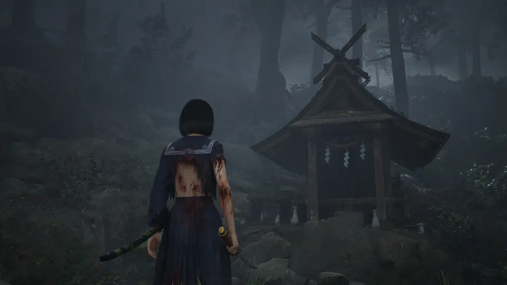
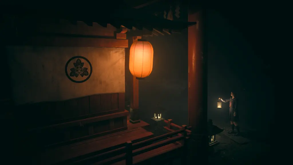
In Ebisugaoka (Silent Hill f), the main shrine in town is the Sennensugi Shrine, which worships the Inari god. Its on the top of a hill in the north, but it has fallen on hard times through the urbanization of Japan and its aging population. For the older generation, its inconvenient for them to climb the hill when they want to pay their respects, so they just use one of the small roadside Inari shrines that are all over town.
Your friend Sakuko is the last in line of the family who administrate Sennensugi Shrine, and her grandfather is head priest. As mentioned, people don't visit the shrine anymore because its up on the hill, and her father doesn't really care for the religion. He refused to take over as head priest, and works an office job instead. As such, her grandfather remarks that the shrine will die with his generation.
Some notes in the game remark that a god's power is only as strong as people's belief and worship in that god. With more people devout to them, their power and protection grows. There is a reciprocal bond between humans and gods, and the stronger the bond, the more prosperous the relationship. As the number of worshippers wane, so does the god's power and protection. Its also worth noting that discretion of Inari shrines in town results in mysterious horrible grotesque deaths, so people always respect Inari, whether they want to or not.
Sakuko is a miko of the shrine, and she loves it. She often thinks about being head priest in the future and how she can restore the shrine. Mikos are shrine maidens who perform spiritual cleansings and provide individual rites to people for protection and healing. (spoilers) She's the first to die. This basically signals that all the good will towards foxes is now gone, and they no longer have any obligation to provide protection. As soon as she dies at the beginning of the game, the fog grows and consumes the town.
Fox Possession is a key theme used for our groom.
In Japanese folklore, it's possible for anyone to become possessed by a fox spirit, but it is most common when a person caters to a fox spirit in exchange for some kind of magical services. Once a man is possessed, this possession extends to their family and is passed down to the next generation.
While good deeds are repaid with good deeds, a deal where "you do this for me and I'll do this for you" is employment, and foxes will always take advantage of the situation. If a fox spirit is constantly appeased, the possessed is often given good fortune. However, this often comes at the expense and tragedy of others. For example, some foxes would bring their masters money, but it was stolen from their neighbors. Foxes are also known to cause illness and death towards the possessed's enemies.
It is later revealed that our groom is Kotoyuki Tsuneki, and there's a long line of notes you find that describe his and his family's past.
The Tsuneki family is the most notable and rich family in the area. They live somewhere outside of Ebisugaoka, but their pressence is known throughout the region. There's a saying that the Tsuneki family always has good fortune when the world is in disorder, hinting at their connection to fox magic.
One day years ago, the hier to the Tsuneki family saw the most beautiful farm girl. Being of a far lower class, they could never marry, but he still courted her and they had a secret affair. Months later, his father found a suitable wife for his son, so the beautiful farm girl was cast aside even though she was pregnant with his son. She was banished into the mountains, and lived in Ebisugaoka. This was Kotoyuki's mother, and a few months later, Kotoyuki was born.
As a child, his mother always forced Kotoyuki to focus on his studies. "You are the true hier to the Tsuneki family. You can't waste your time playing games. You are an adult in a child's body, and you will rise as the head of the Tsuneki family." Kotoyuki hated this.
At age 9, Kotoyuki was playing in town with other boys. It was not uncommon for wild foxes to come into town. Older generations know how to treat the animals with care, but the younger generation don't understand this and try to chase and provoke them. One day, a wild fox attacked Kotoyuki in town, leaving deep cuts on his face. Young 5 or 6 year-old Hinako "saved" him by treating the fox with kindness. "It's just sacred. Please go away fox." In a note later, Kotoyuki remarks that he just met the most beautiful girl.
His cuts festered and boiled into a fever of 40 degrees. He lost consciousness and was rushed to the hospital. By the time he reached the hospital, the cuts were gone. At one point he woke up with a glassy look. Nurses asked his name, but he couldn't remember. Physically, it was like nothing had happened at all. But, mentally, his mother remarked that he felt like a completely different person. He no longer cared about games, and devoted himself completely to his studies. You later find a note that says, "I must become the perfect match for Hinako."
You also find this quote, "If a fox falls in love at first sight, they will try to steal her away as their bride."
A few years later, the head of the Tsuneki family (Kotoyuki's father) and his wife contracted an unknown illness. They had high fevers, and their skin had sores. Some days, they would vomit profusely. A few days later, their son and daughters began showing the same symptoms. A few days later still, the father and mother died and their corpses were bloated and disgusting, emitting a horrible smell. Their only son's illness also grew, and he met the same fate. They were immediately cremated, and none of this news was ever publicized. Though, with the death of all hiers, the daughters made a miraculous recovery.
Their symptoms and deaths are consistent with other medical notes you find about drunken members of town desecrating Inari statues and foxes in Ebisugaoka.
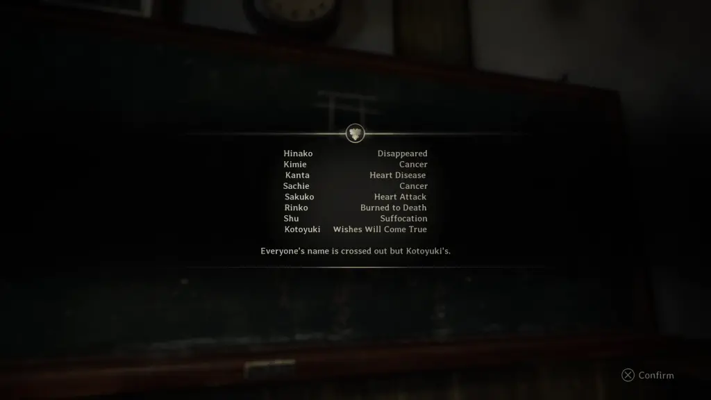
It's not mentioned in the game, but this was probably around the same time middle-school-aged Kotoyuki played a game of Fox Gathering with his friends at school. Fox Gathering is like a seance where kids each write their names on a board, turn out the lights, and sing the Fox Gathering song in a circle. When the lights are turned back on, each name is given their future. All these futures are bad except for one person. Kotoyuki's name was the only one not crossed out with the message, "All your dreams will come true."
Some say that a fox gathering isn't just a way of telling someone's future, but often foxes will that future to become reality.
With the head of the Tsuneki family dead and his son, too, the grandfather sends a message to Kotoyuki's mother to legitimize Kotoyuki as the new hier. They move away from Ebisugaoka, and Kotoyuki becomes Kotoyuki Tsuneki head of the Tsuneki family. He has now returned for Hinako's hand in marriage.
So, it's clear that Kotoyuki has been possessed by a fox and that the Tsuneki also has strong ties with fox possession. The concept of a fox wedding has more meanings than just this literal case, and it connects with the ideas of gods marrying mortals, which is referred to as a "hierogamous marriage."
An hierogamous marriage becomes beneficial for both sides of the marriage. A mortal becomes divine, and the god stengthens its ties with mortals. As mentioned before, a religion prospers when more people devoted to it. As gods gain more strength, so does their protection for the mortals.
People in Ebisugaoka have coined the phrase "fox wedding" in a similar way. When a woman is married, they abandon their home and are wisked away. It's like they have disappeared. So when a young girl goes missing and is never found, they call it a "fox wedding." Some wealthy fox lord scooped them up in marriage, and now they're living in a life of luxury without care. Despite the heavy feeling of loss, families are somewhat comforted by this idea.
Additionally, weddings between gods and mortal are rare. So when a god searches for a bride, they want to find a rare and exceptional match. In nearly 100,000 births, a girl is born with an exceptionally rare blood type. People often say that these girls are "blessed by the stars" because of their blood type. You find a note in the game from a woman named Mayumi who had a rare ABO blood type and was married to a fox.
Despite Hinako saying she is unremarkable, it is heavily implied that she also has a rare blood type.
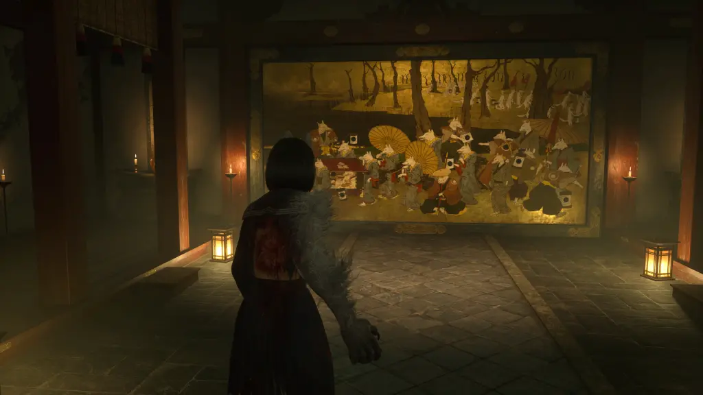
Another thing to note is what a fox wedding actually looks like. In Japanese folklore, a fox wedding happens around dusk when someone sees a trail of lights leading through the forest. These lights are lanterns held by foxes in a wedding procession. The above painting near the end of the game depicts a classic scene of a fox wedding.
The Inari Faith and foxes are just one side of the coin. Ebisugaoka's Inari faith is an amalgamation of the town's original beliefs that span over a millennia. And it all began with the Japanese myth of Susanoo defeating the evil eight-headed dragon Orochi. In battle, Susanoo got the dragon drunk on strong tubs of sake, and sliced off its heads one-by-one. (Remember Okami??)
One of its heads flew away and crashed in the mountains of Higa becoming a poisonous water dragon plaguing the land where it fell. Because of the poisonous water, few people ever went to this area, and it only became inhabited when shamed defeated warriors of the Taira clan found refuge hiding here. Higa later became known as Ebisugaoka. People believe that this legend stemmed from the occassional toxic gas leaks in underground water streams.
The people of the area idolized the poison water dragon as a means to protect themselves from its poison. This was the area's original faith. After this, nearly 800 years ago, a freakishly tall monk wearing multiple masks came to the area. He brought the people to a great cedar tree and told them to devote themselves to it. "This great tree saps evil from the water dragon below. Devote yourselves to this tree, and it will qwell the beast to the end of time." This began the faith in the Divine Tree.
Because Ebisugaoka was remote, it was impossible to trade items with other towns, so people had to treat their tools with the utmost care. As tools became spent, people would bring their tools to the divine tree as an offering. This would grow faith and power in the divine tree. Over time, this custom began more and more common that people had forgot these offerings were meant as tribute to seal the water dragon.
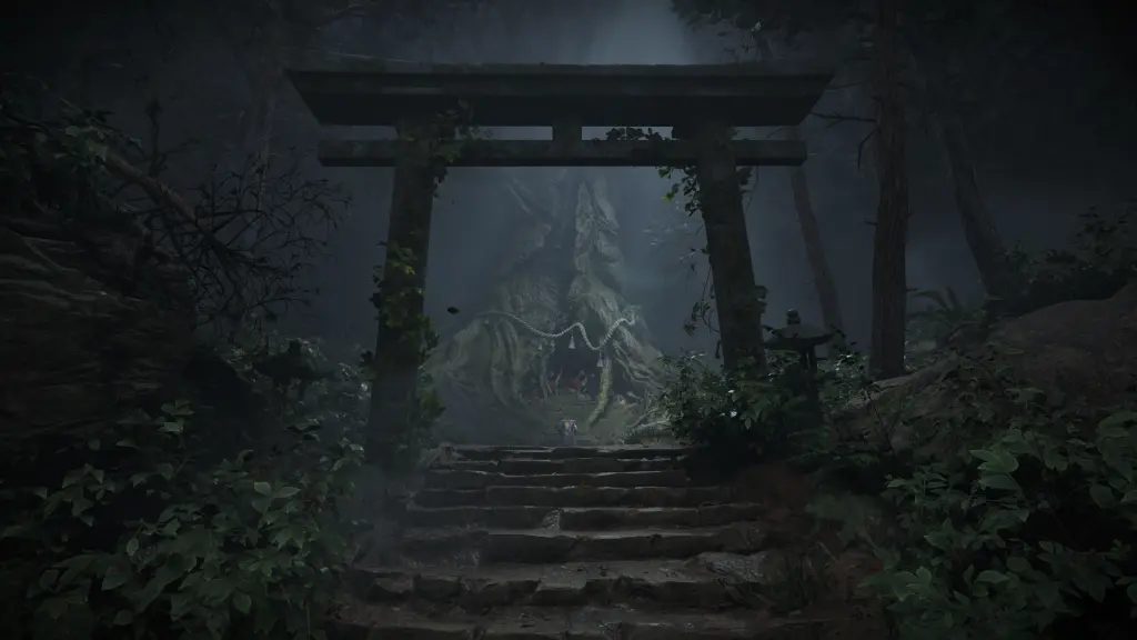
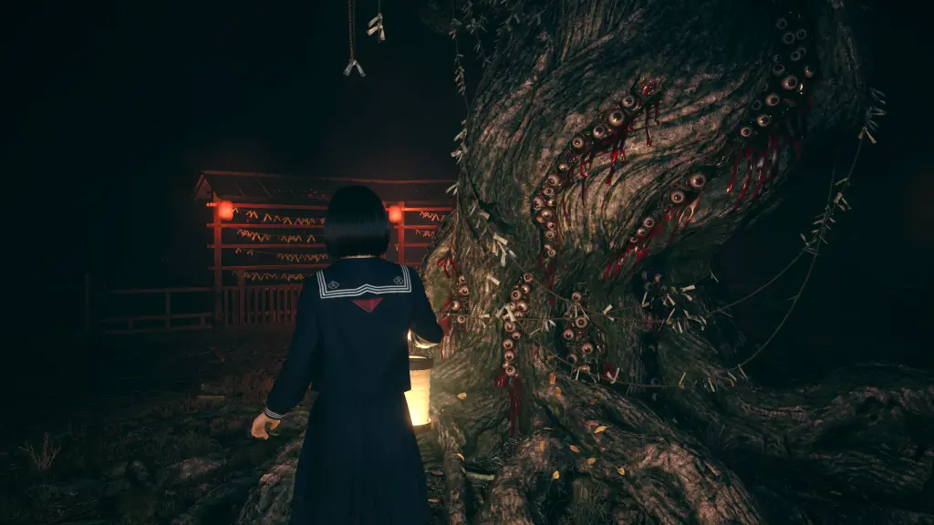
This twisting of the Divine Tree faith had formed the Tsukumogami faith. More respect should be given to things the more they age. Thus, the older something becomes the more respect it should have and the more divine it becomes. The Tsukumogami faith also believes that when objects have existed for so long they gain a spirit of their own. Because the divine tree was the oldest object in town at nearly 1000 years old, it was the center of the Tsukumogami faith. A shrine was built around the tree on the west end of town.
It should be noted that when the disgraced warriors of Taira clan settled the area, they vowed revenge against the members that banished them. Their weapons and gear had been lost to time, maybe destroyed or traded away. But one sword still remained in Higa (Ebisugaoka), and it soaked in the feelings of revenge and malice from the former clansmen. Through the Tsukumogami faith, this sword now had a life of its own and remained hidden.
Through some puzzle solving in the second playthrough, the lost sword, the sacred sword, reveals itself to you.
In the Edo Period (1600s / 1700s), lightning struck the thousand-year-old divine tree, and the fire spread to burn the tree and the shrine. People believed that the tree had lost all of its divine power, so through the Tsukumogami faith, they searched for the next oldest object in town to praise. This was a moss-covered Inari statue north of the divine tree in the woods.
Inari priests told the townspeople that an ancient evil water dragon was set free from the divine tree now that is has lost its power. But, the foxes are here to protect you. A family of foxes rose up to save our town from this threat. They hold the dragon at bay, but our faith in them gives them power. We must devote ourselves to them to receive their protection.
Thus, Ebisugaoka's faith changed again, now to the Inari faith. People began praying to the Inari for protection, but it was warped and twisted with Ebisugaoka's history of faith. It became confused with the ideas of the Tsukumogami faith. Over time, the Inari faith in Ebisugaoka became its own branch of the religion, almost completely different than elsewhere.
But the moss-covered Inari statue was not the oldest object in town. This was the sacred sword, which was infused with its own spirit of revenge in the true faith of Tsukumogami. On the inside, it was considered blasphemy that the people would abandon their faith. On the outside, knowing the sword's existence could destabilize the Inari faith in town. The sword wanted its revenge against the foxes.
A final bit of history was a murder spree that happened in the 1880s. A man over two feet tall covered in tree bark came into town with a sword and killed everyone he found worshipping Inari statues. He called everyone hethens for not respecting faith to the Divine Tree. The water dragon will rise again because of your blasphemy. Legend says that the spree ended when a thick fog rolled in carrying a pack of foxes which devoured him completely.
In recent years, with faith in the Inari wanning, there are some people who believe the town is cursed because they no longer truly devote themselves to the religion. In 1945, there were a series of small earthquakes and an onsen geyser erupted in town nearly 30 meters high. The water spewed a noxious hydrogen sulfide gas, and tests later showed it contained high levels of arsenic. People claim this caused sores and disease.
An alert was issued by the Disaster Prevention Division stating these small earthquakes could be a sign that the "big one" is coming soon.
By starting a New Game+, Hinako is armed with the knowledge of the red pills. She also has a fox brooch pinned to her lapel giving her the protection of Kotoyuki. Knowing the sinister nature of the red pills, avoiding them puts you on a path with two outcomes.
You need to find the sacred sword, and then determine whether to purge its life or keep it. By keeping the sacred sword as is, you will have its protection in the final battle. By purifying the sword of its vengeful soul, its protection is gone, and you rely on the protection of the fox brooch in the end.
There's also a third option available in your third and final playthrough by giving up both the sword and the brooch, relinqushing Hinako of all outside protections.
The red pills were protection given by Shu. The sacred sword was protection given by your past. And the brooch was protection given by Kotoyuki. Each of the four main endings align with the actors behind the protection. Once you reach your house, the Shimizu residence, in the last third or quarter of the game, you are locked into an ending.
As you shift through different layers of your warped home, you confront images of your past and finally confront yourself, which are all different depending on which ending you're locked into. Later at the end, you face the real threat.
When Hinako faces herself at home, her other self is terrified, weak, and completely panicked at what to do. Your journey throughout the game was killing your friends and family as a way of leaving them behind as you leave home in marriage. Your decision is ultimately choosing to kill your other self, or be killed. The panicked Hinako begs for death. Her face peels away to become what you hate the most, the bride. You are the protagonist.
Later in the end, as true Hinako, fox Hinako turns into the Shiromuku and you fight. You win, but Kotoyuki interferes. His body controts and transforms into a massive ratty matted nine-tailed fox. His handsome kind persona is completely dropped, as he screams and threatens you. "I have shown you nothing but kindness, but you refuse it. So I will take what it rightfully mine."
By retaining the sacred sword with its full power, the sword is able to amplify the part of you that strongly holds on to the past. Throughout the game in the fox realm, this is represented by your old childhood doll, reminding you of who you are. Your true self is able to shine through any influence of your transformation by Kotoyuki.
Upon defeating the ratty fox, Shu appears and confesses his love for you and that he would do anything to protect you. He throws himself at the wounded fox, but you stop him. Leave him alone. You and Shu run away from the shrine, and appear in town. Hinako tells him that she can't marry Kotoyuki, and they run away together.
After the credits, a radio program reports that Ebisugaoka was consumed with Hydrogen Sulfide gas (the fog) and the entire town was evacuated. With Kotoyuki completely rejected and defeated, it seems like the divine protection of the Inari faith has collapsed. And ultimately, it seems like the sacred sword with the spirit of Tsukumogami had got its revenge. With the Inari faith gone, the poisonous water dragon was let loose.
When Hinako faces herself at home, her other self screams at you for being childish. She screams at you to die die DIE! You find some letters in your drawers from Kotoyuki about the courtship showing him as loving and caring. Your face peels away to become what you hate the most, the bride. You are the antagonist.
Later in the end, as fox Hinako, true Hinako becomes warped and distorted, moving like a puppet seemingly controlled by a dark force.
That spirit is easily snuffed out by Kotoyuki. Then Shu appears and exasperatingly confesses his love for you. He screams how he should have told you all of his feelings from the beginning and that he wants to be with you always. He also confesses that he used the red pills to try and break you free of this marriage.
Old tools, weapons, and masks consume his body. As fox Hinako, you finally defeat the last remaining bit of your past self, and can continue forward as wife to Kotoyuki Tsuneki. Shu accepts that Kotoyuki would make a fine husband for Hinako and gives him a fist bump as the morning sun rises to vanquish the horrible night.
With the final spirits of the Tsukumogami faith purified, and the wedding succeeded, the Inari faith has been appeased. The water dragon, hydrogen sulfide gas, fog, and mist all dissipate to reveal a clear day. The new day shines bright on Ebisugaoka.
It ends in a pretty goofy way, and everything seems all happy and perfect on the outside with smiles. But after the credits, the severed sliced off face of true Hinako lies on the ground in terror, sobbing, and begging for recompense. "I'm so sacred. I don't want to become my mother. He will become my father." Then her face is crushed and wiped away, implying that she lives in true terror every day on the inside.
Both endings show the duality of the situation. Refuse the wedding and defeat the part of you driving you towards it. Or accept the wedding and defeat the part of you driving you away from it.
By refusing the wedding, Hinako breaks away from her father's control, and puts her with Shu. She didn't want to get married, so Ending 3 should be a good ending. But the outside world shuns them. The game portrays the two of them running away into an uncertain future as hopeless and pessimistic. What future would they have by abandoning everyone they know? The fog turning poisonous and devouring the lives of everyone in town furthers this idea.
On the other hand, by accepting the wedding, everyone on the outside is appeased and happy. Hinako's family is now rich and debt free. Ebisugaoka looks bright, and Hinako's friends seem like they could live their best lives without her. Shu gives his blessing, and society continues to run and operate as it always has. Sounds good! But on the inside, society continues to rot and women live in fear.
What's the alternative? Choice
In all three endings so far, Hinako's choice has never been respected. She turns violent from the pills Shu slips her. She is forced to marry without a say. And by rejecting the marriage, she gives in to Shu, and is forced to cut ties with everyone she knows in Ebisugaoka. Ultimately, she never has a choice and has to comprimise her future either way. Once again we return to the theme of forced decisions on women in Japan.
Both Ending 2 and 3 make one of Hinako's sides the enemy. She's either the protagonist or the antagonist. By throwing away both the sword and the brooch, you aren't choosing to follow one side or the other. You are putting trust in yourself.
Now when you face yourself at home, you listen to each other. You speak with your sister, and she listens and begins to understand your position. You listen to your mother and understand there are more dimensions to marriage. And your father begs forgiveness.
Society places the burden of forced decisions and roles on everyone. Men are also forced to act in certain ways to appear "strong" in the eyes of others. A father must assert his dominance. While this idea is true even in modern Japanese society (I have stories about this), I think it undermines the fear and abuse her father has caused. Hinkao can't forgive her father, but she recognizes that at least he respects her now.
Leading into the end, Hinako realizes her situation fully. She says, "One of them wants to marry me off. The other wants to stop the wedding. Both of them are pitting me against myself. I will never be someone's puppet."
By refusing Shu's red pills, by purifying the sacred sword, and by rejecting the fox brooch, you are able to see both forces driving your two halves against each other.
On the etheral plain, the gods having been using you for their own purposes. The Tsukumogami wants revenge on the Inari. The Inari wants its wedding to retain their power.
The nine-tailed fox adds the final piece connecting the Inari faith to the Tsuneki family. "Once in a blue moon, humanity will produce an extraordinary girl with divine power. When that happens, a spell is places on our clan's successor that stirs in him a desire to make that girl his wife."
The fox wedding acts like a blood sacrifice. By joining the Tsuneki family to a girl of extraordinary rare blood, the fox gods are delighted and their power and influence grow. It's also noted that with this blood sacrifice, the woman is drained of all her blood, and her lifeless corpse is set adrift in the river as a means to bolster the imprisonment of the water dragon.
As both true Hinako and fox Hinako, you fight and defeat the Tsukumogami and Inari gods on mirrored plains of existence, ultimately proving that you are no one's puppet. Your life (lives) is your own.
After the battle, even though Kotoyuki was under the influence of the fox spell, he ponders whether his feelings for you were real. And he vows to live his life and explore those feelings completely. He later writes you a letter saying that he is happy reliving a childhood he abandoned and still thinking of you.
You return to the real world in an abandoned Ebisugaoka covered in fog. In the end, Kotoyuki inspires Hinako. She wants to love someone as intensely as the love he showed for her. And if that someone is Kotoyuki in the future, then so be it. On the other hand, she wants to find her own passion, likes Sakuko's passion for her faith and Rinko's passion for Shu.
But with the halves of yourself wandering the silent streets of Ebisugaoka, you want to focus on yourself. The town is now quiet and free of anyone telling you how to live, how to act, and how to be. You are free with yourself in your own Silent Hill.
It's a pretty beautiful ending.
On the surface, having defeated both gods protecting the town from the water dragon, it was released leaving the noxious fog to cover the town completely, forcing everyone to leave. Or also, with the town abandoned, all gods have lost their power, leaving fog to cover the town. Either way, only the water dragon remains and no one prays to it.
So many mountain villages and settlements in the Japanese mountains have met a similar fate during the post-war Showa era. People leave their homes to find a better life in the now growing cities, and the original spirits of the mountain reclaim their land.
Through all of this myth, legend, and history, I think Silent Hill f is an incredible work of art that highlights many fears and problems with old Japanese society. Some of those problems still linger in their culture today.
But, the game also gives hope for change. In the end, Hinako's father recognized he needed to respect his daughter. There are many families in my small town in the mountains where it seems like the father loves running around with their kids. Not many seem to follow the stoic Japanese father stereotype of the past.
I would say the biggest problem with the game is that these layers are hidden behind a second and third playthrough. People will probably never see these ideas for themselves, and rely on YouTube videos (or reading this post) which don't give a first hand experience.
I hope more people find this game for themselves. :)
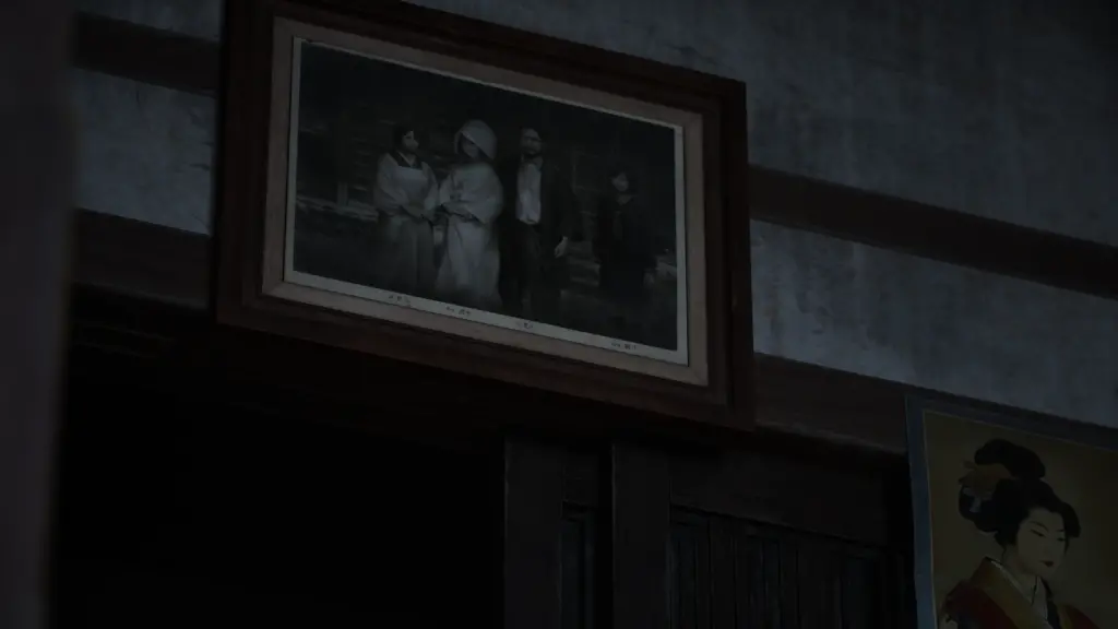
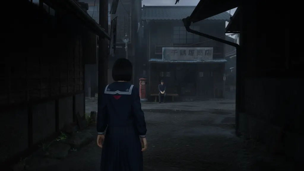
(Below are many screenshots I took during my playthrough. I played using HDR so many screenshots were very dark. For those too dark, I increased their contrast and brightness to be more visible.)
