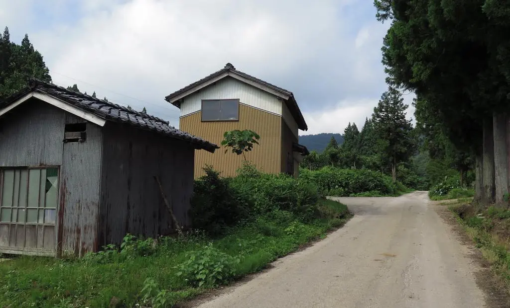
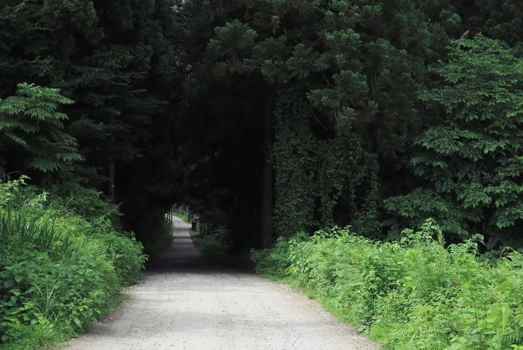
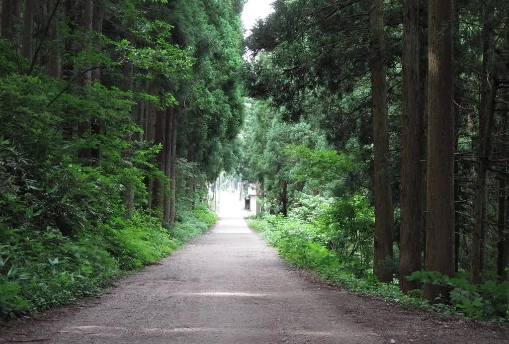
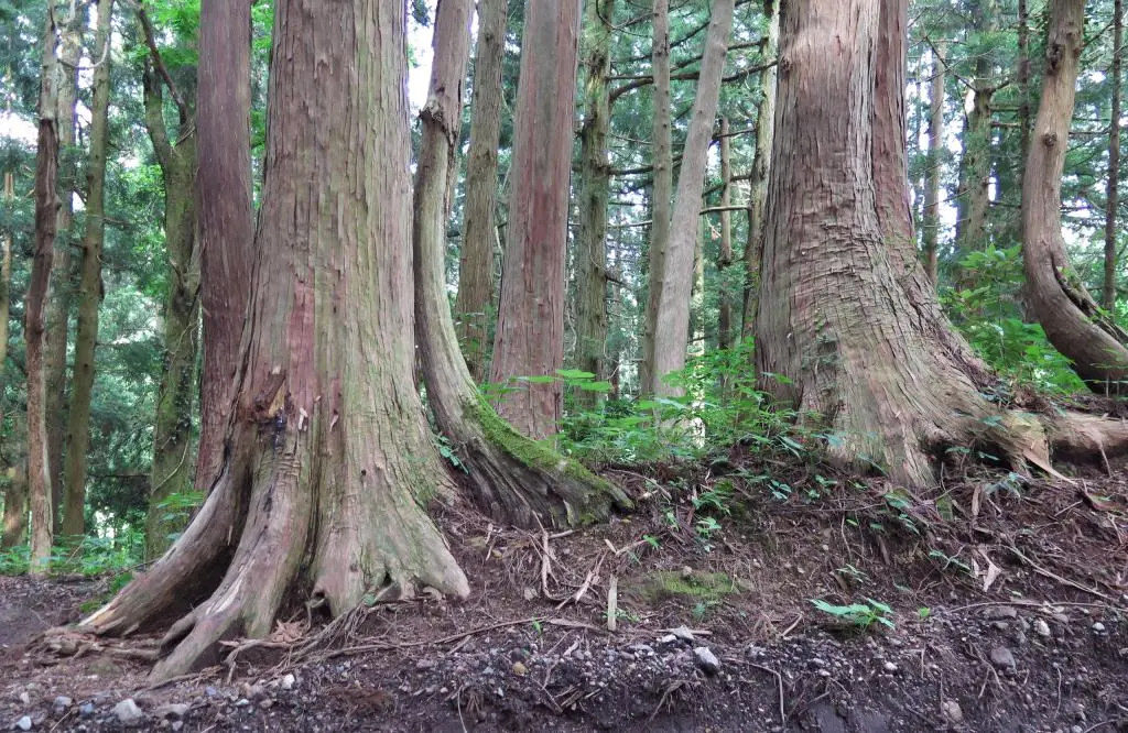
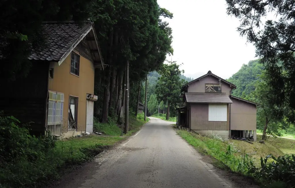
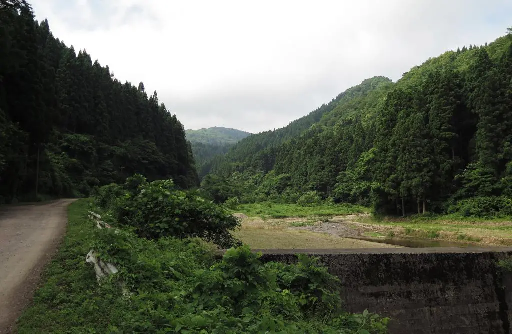
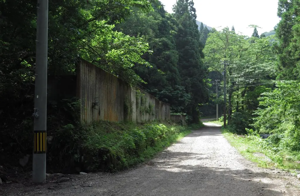
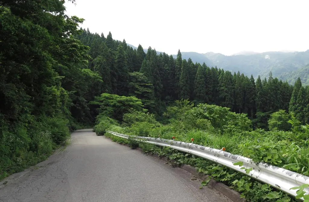
Old Ueda Village used to be a key destination on the old Gokayama Highway, leaving the urban area of Tonami City 砺波町 and Johana Town 城端町 and going up into the southwestern mountains of Toyama prefecture. After Ueda Village, there was nothing but the road, the trees, and the climb. Many of the residents made their living catering to these travelers, or by working as porters themselves.
At the top of the first mountain was Hosoo Pass 細尾峠, which I wrote about before. The Hosoo Pass and the area is well known for its Postal Corps, a group of housewives and local people employed by the postal service who would cross the mountain every day during winter to deliver the mail. When descending from the pass from the other side, you'd reach Nashitani Village 梨谷村 and then after going over Ose Pass, you'd reach Taira Village 平村 and Shinonashi Village 下梨村.
After the war, Japan began to rebuild and became an economic icon. They invested a lot of money into infrastructure, making many of the remote areas more accessible. The Gokayama Highway became Route 304, and as transportation also became stronger, fewer and fewer people were stopping at Ueda before going up the mountain. In 1970, a new Route 304 was established, and now no one traveled through Ueda.
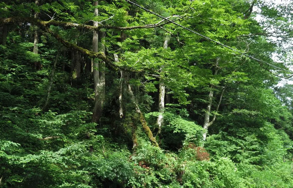
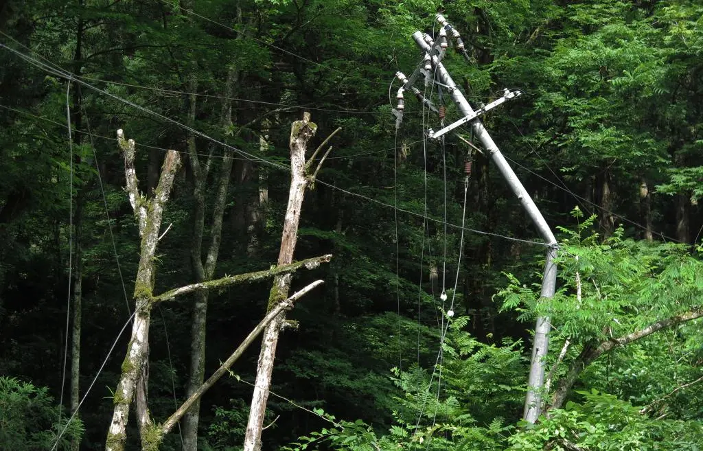
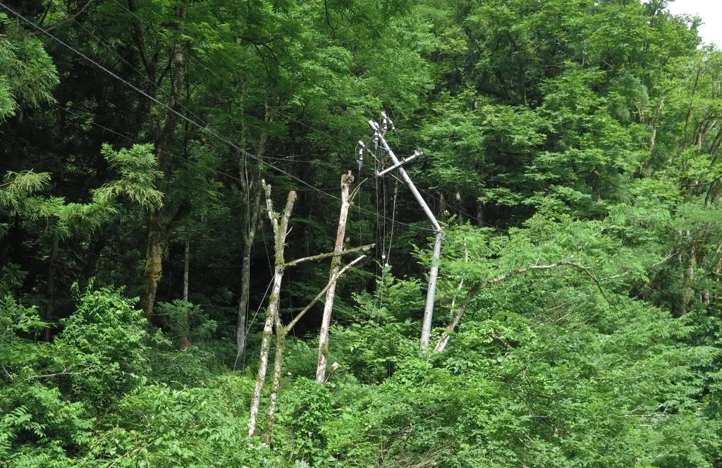
In 1973, the remaining residents of the Ueda Village all moved away together to the Rikyu area of Johana Town, leaving what was left of their homes to be reclaimed by the forest.
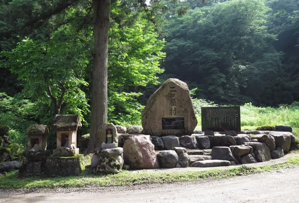
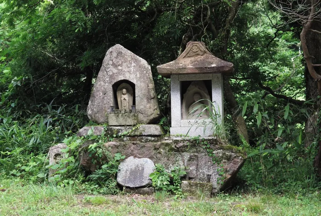
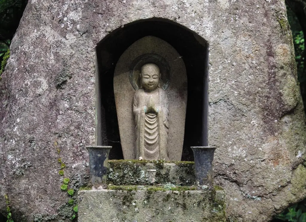
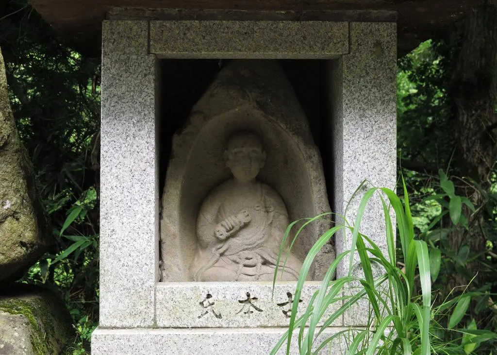
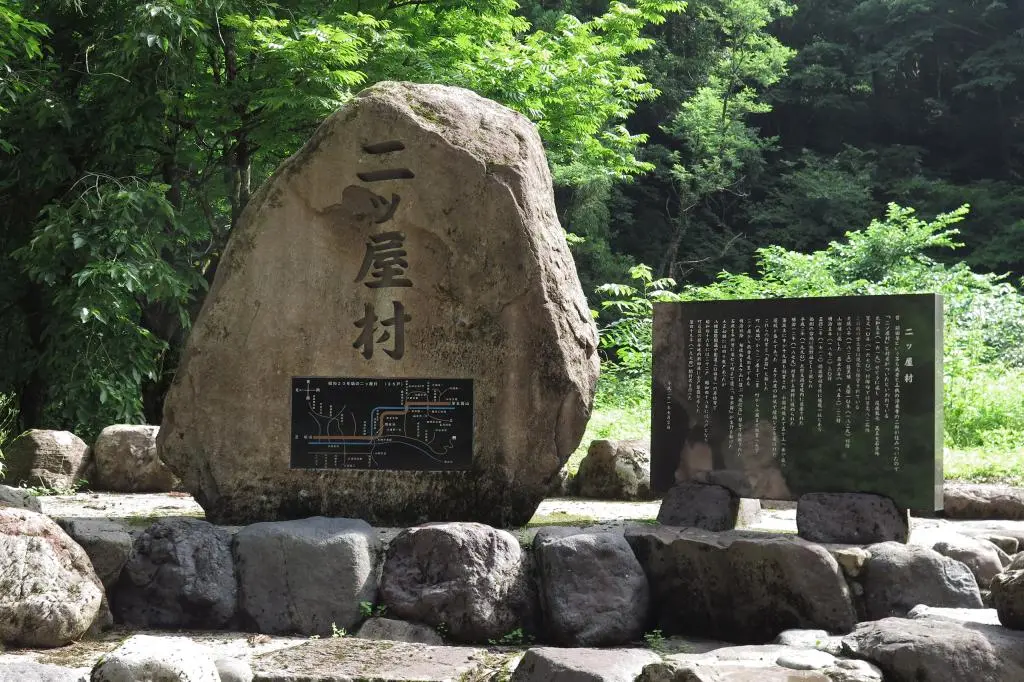
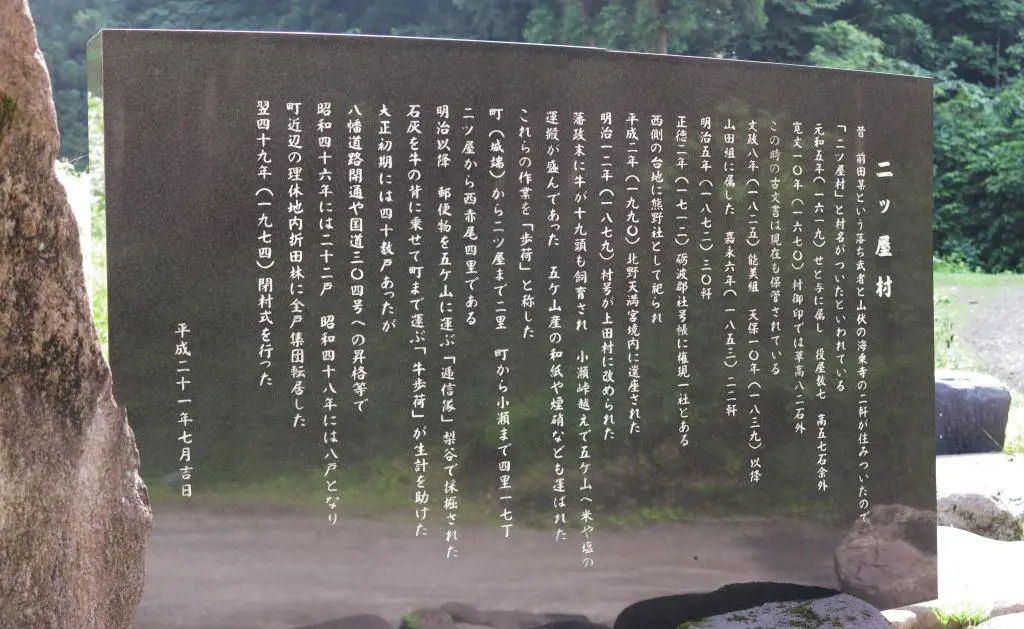
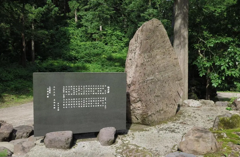
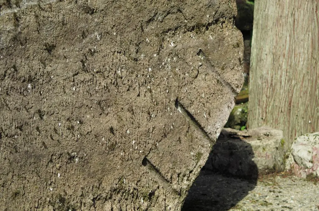
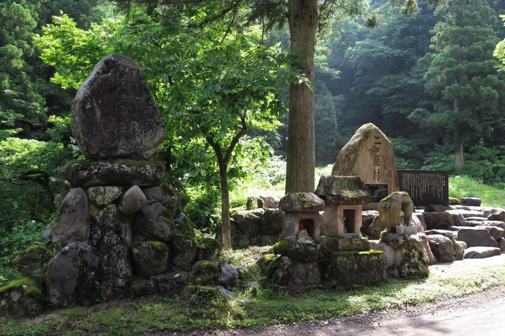
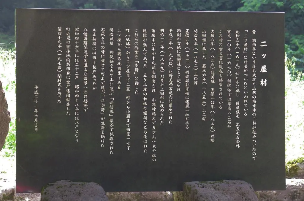
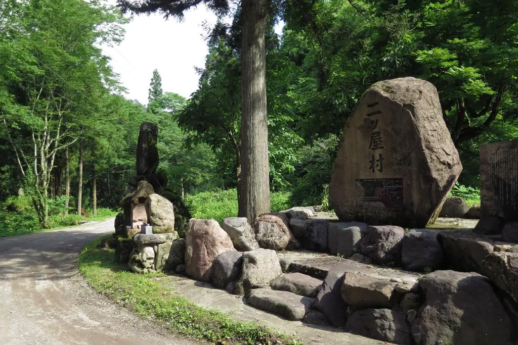
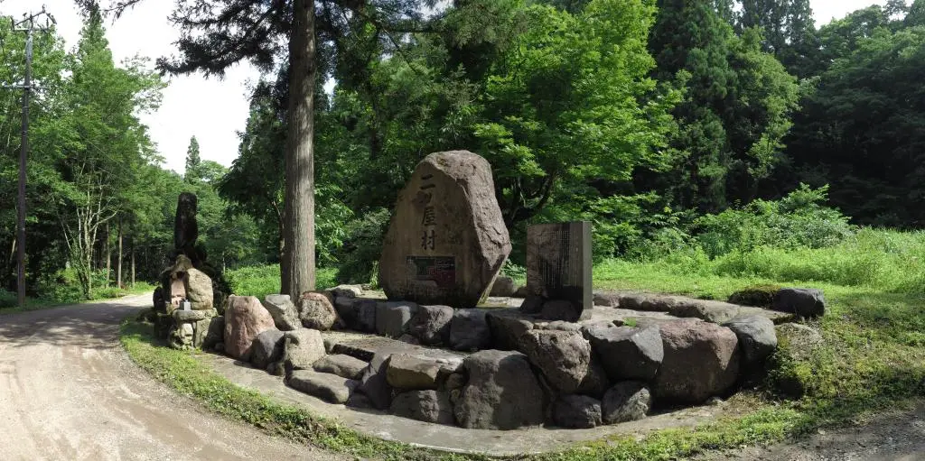
In 2009, a monument was erected in remembrance of the old village. I put a transcription and translation of that monument in another post, so you can view the information directly.
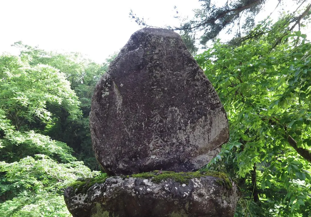
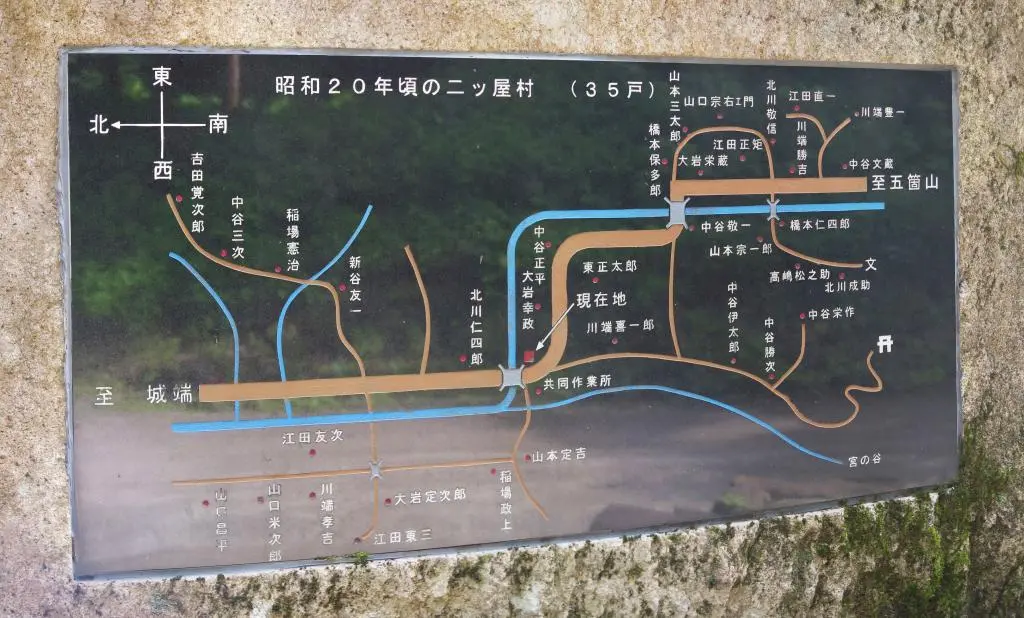
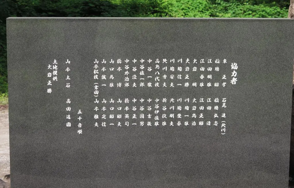
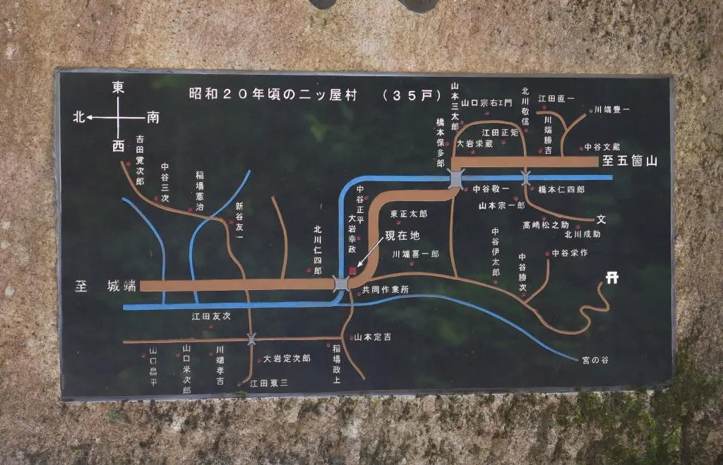
The monument details the history of the village with its credits listed on the back of the monument. On the larger stone monument, a town map has been enshrined. It lists 35 households from 1945 (Showa 20). From research done Mr. Murakage on his site, Ueda village had 30 homes with 174 people in 1872. The number of homes may have peaked in 1930 with 42 homes. As mentioned above, it was 35 homes in 1945. Murakage says 22 homes in 1946. And only 8 homes in 1948.
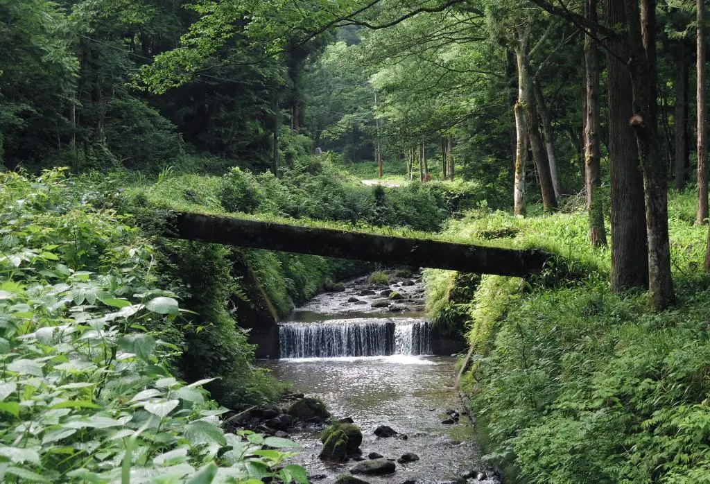
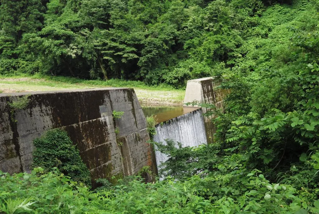
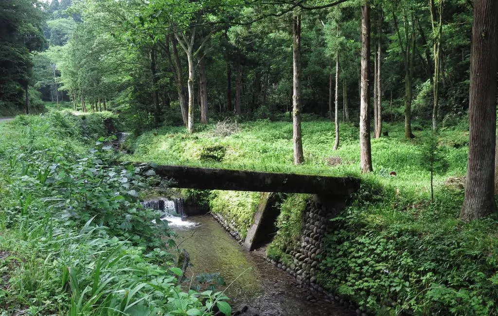
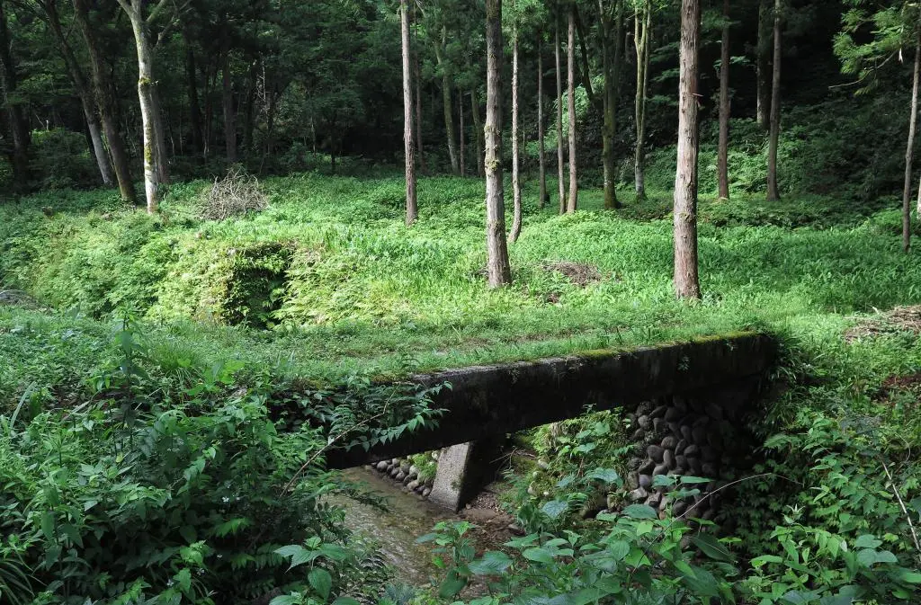
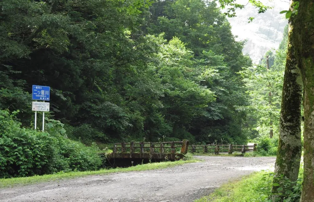
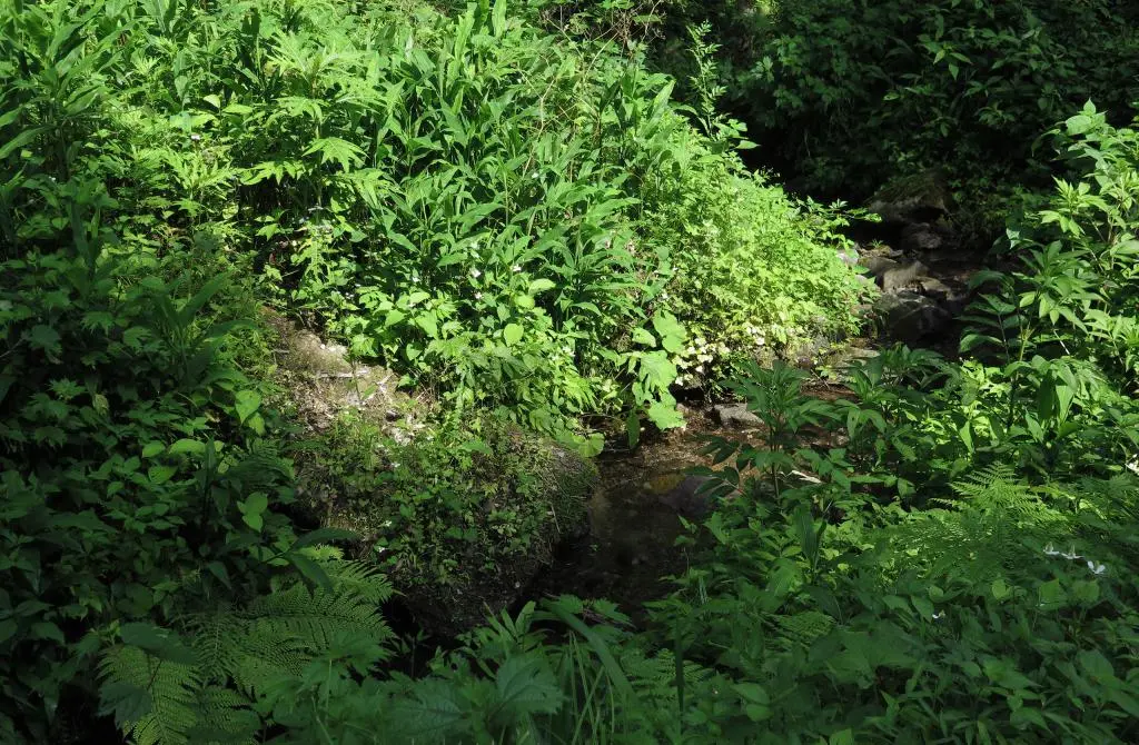
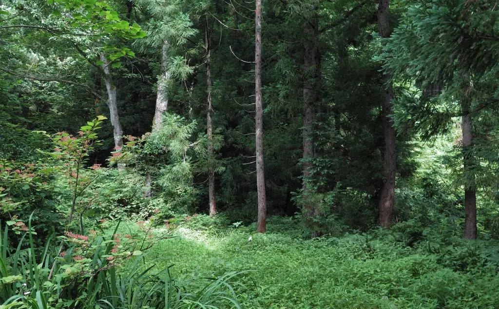
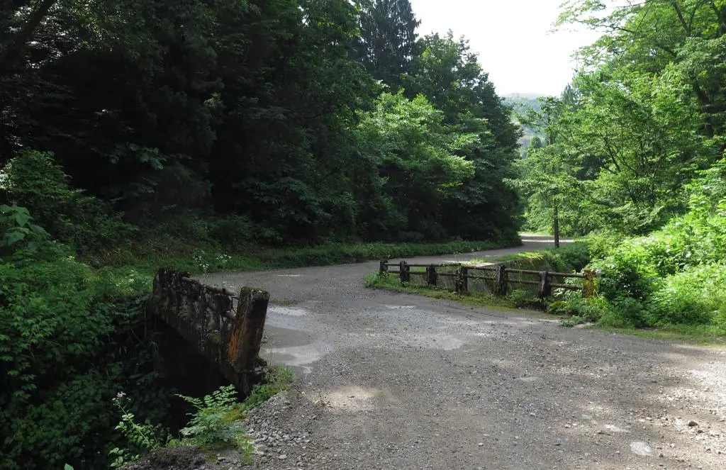
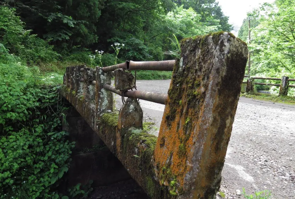
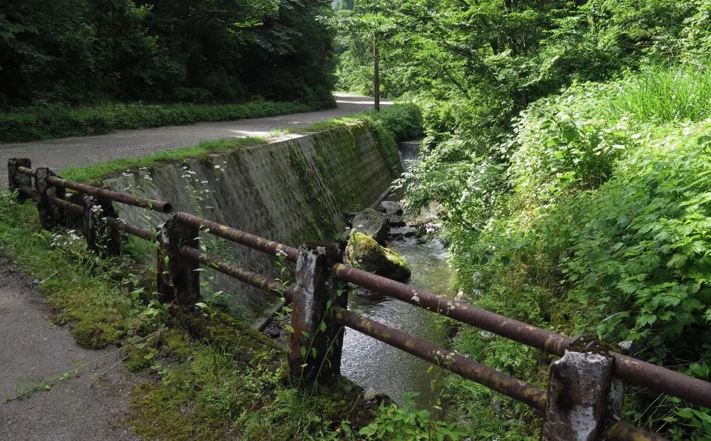
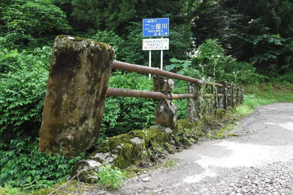
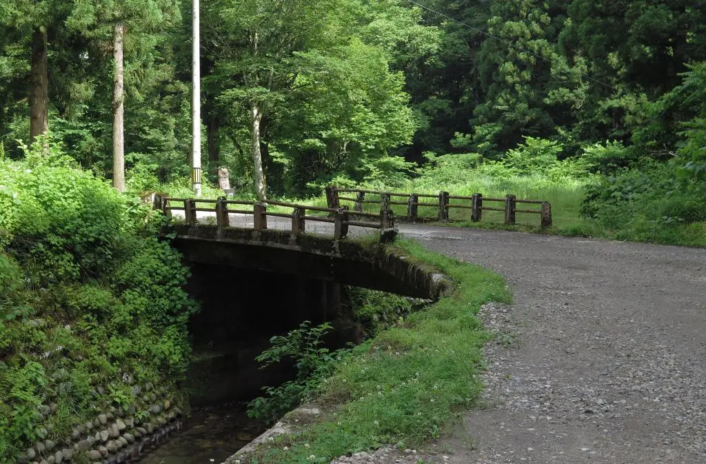
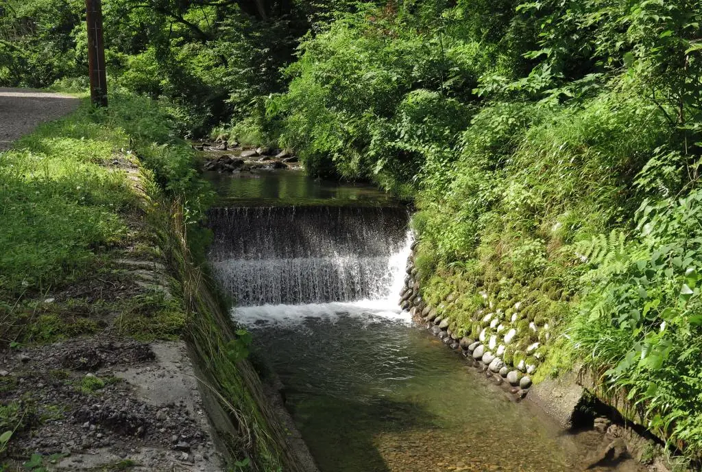
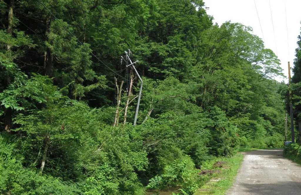
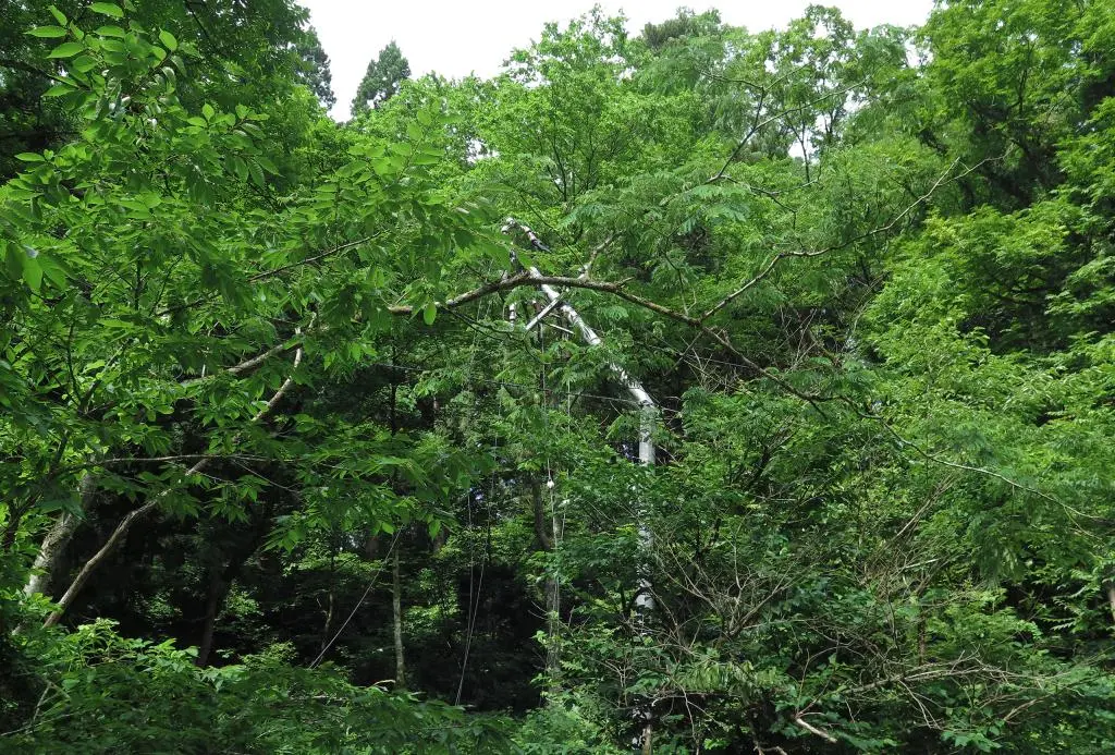
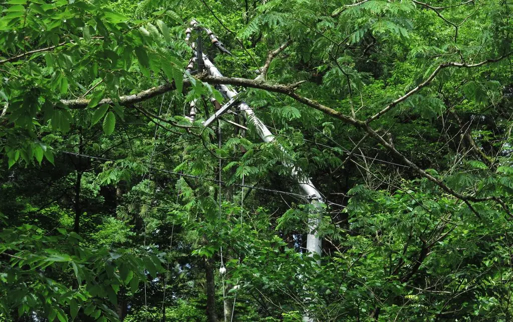
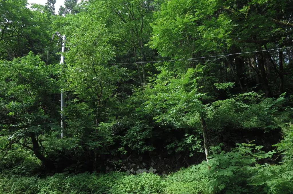
Apparently when Murakage and Hayaneko visited the area in 2011, there were still some wooden remains of a few houses. Today, I couldn't any trace of homes other than some stone foundations and a few bridges that crossed the steam and went no where.
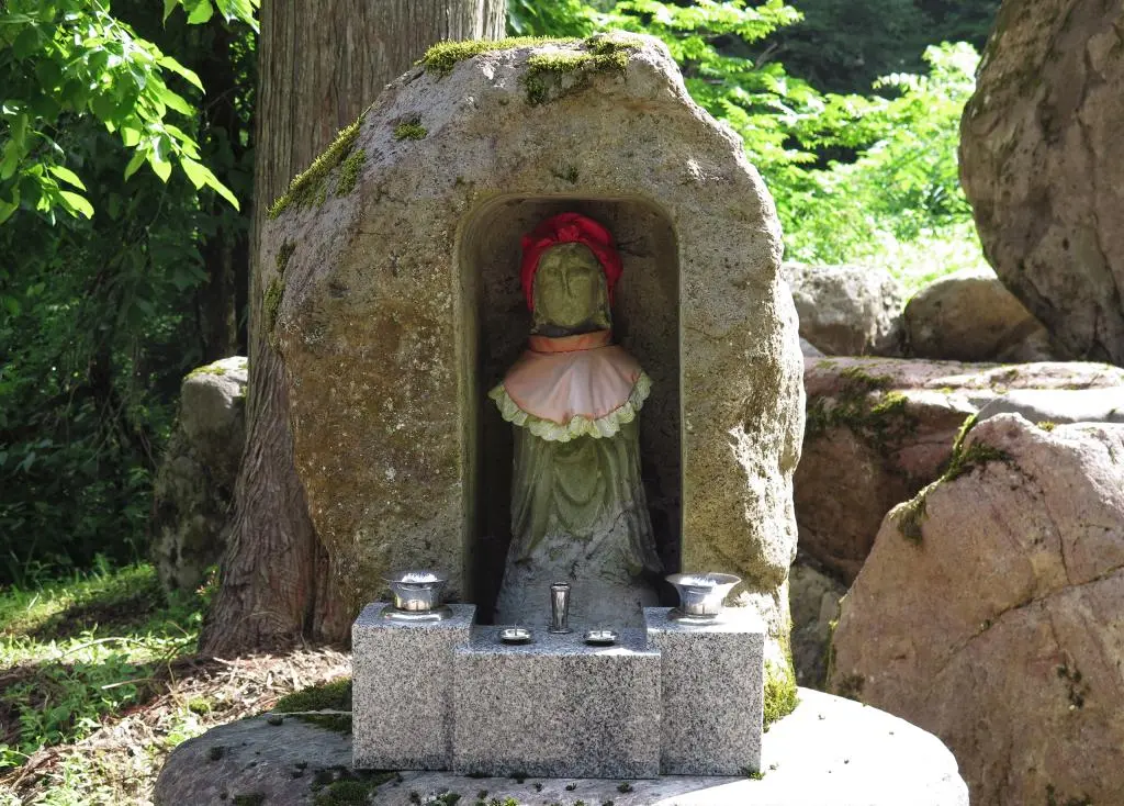
Looking at the town map again, there are a lot of side roads branching off of old Route 304. The map shows a shrine off in a direction, so I wondered if there were still any traces of that left. Usually people still attend to shrines long after the area is desserted. (Of course, I wasn't able to sight-read the monument, so I didn't know the shrine had folded and its diety moved into town.)
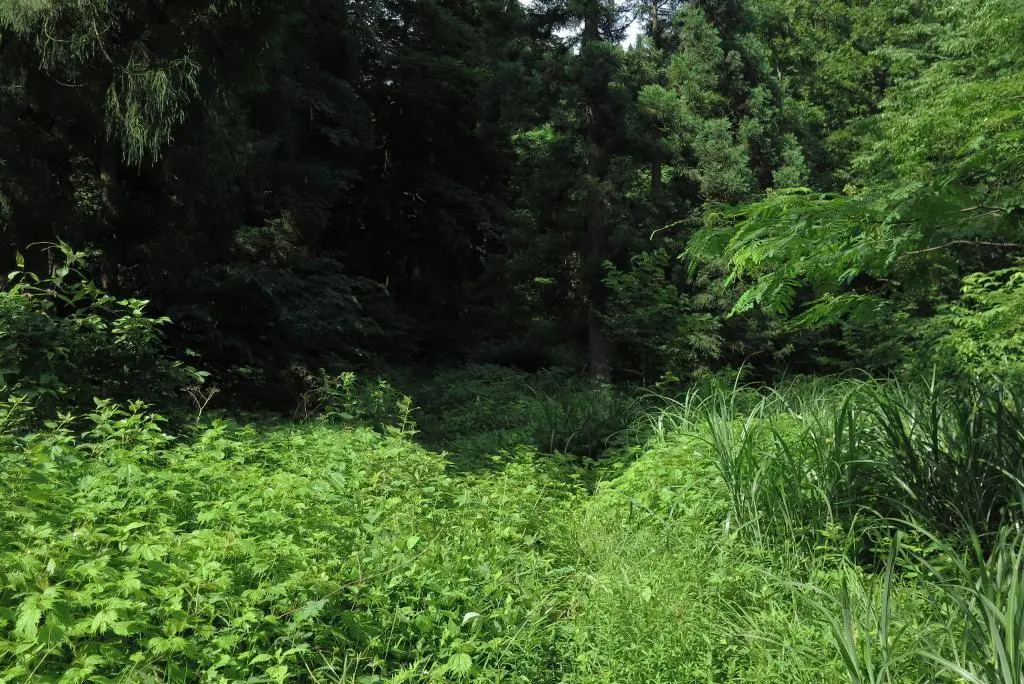
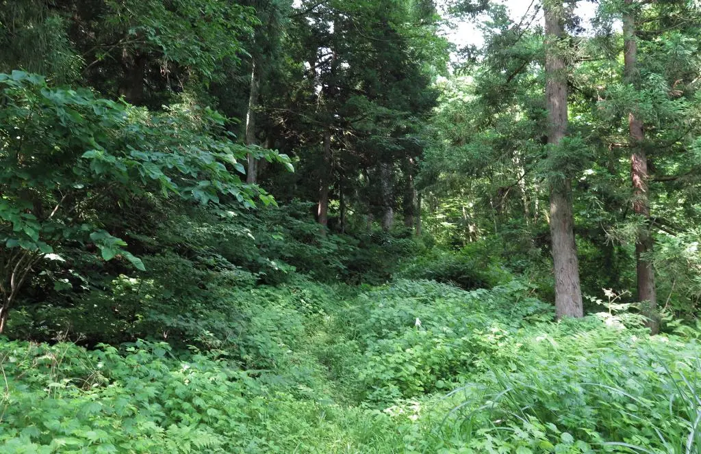
Across the street from the monument, it did look like there was a path leading into the forest. It was heavily overgrown, but my legs were completely wrapped up and I had my work gloves. I could power through it if the path continued to be noticeable enough.
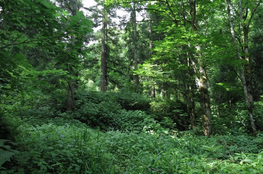
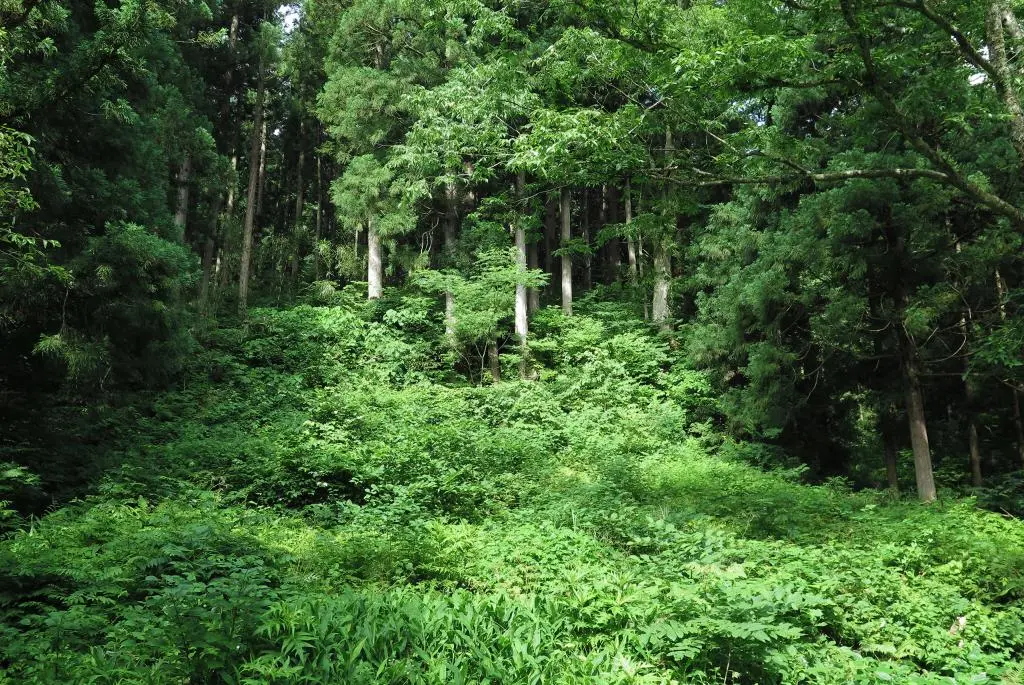
Tearing through vines and overgrowth wasn't that bad, and the path continued to lead to a raised clearing which must've been a foundation for a home. So, I figured that I must have been going the right way. Although, looking at the map, it was clearly not. The path to the shrine went up a bit, so I continued up, but the ground was too muddy and unstable. I stepped on the ground, and my foot sunk into a mud hole. Meh, I'm going back. It's probably better to try and run through the woods in fall after the growth has died down.
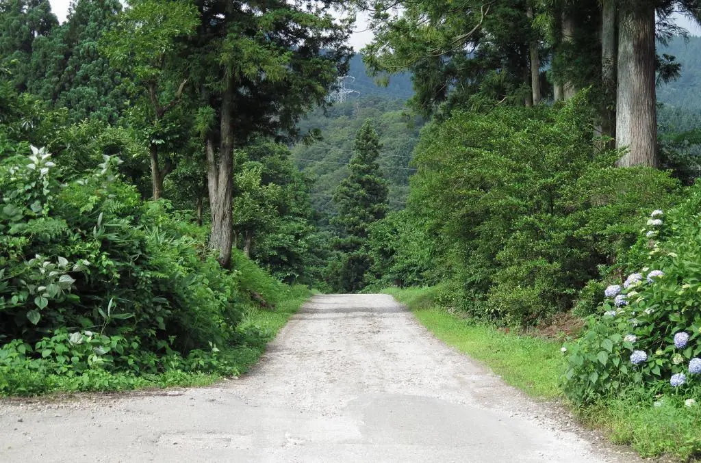
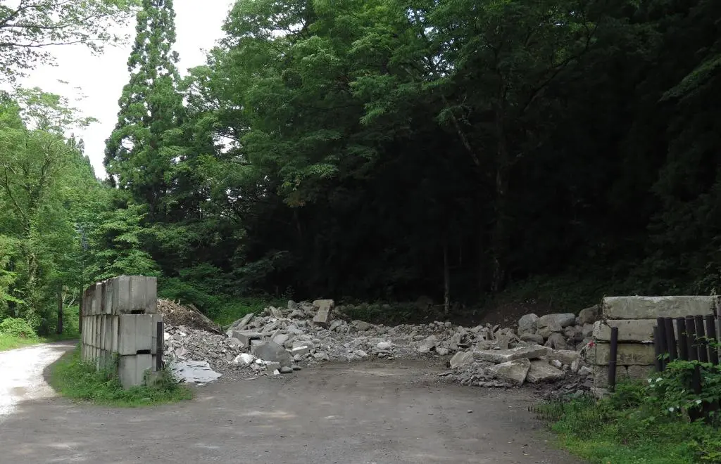
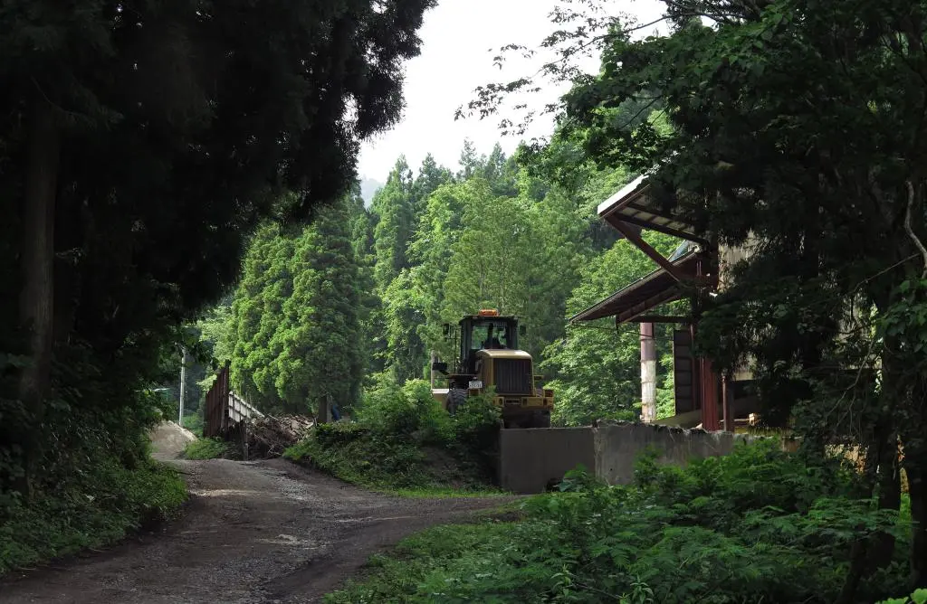
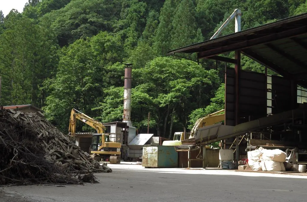
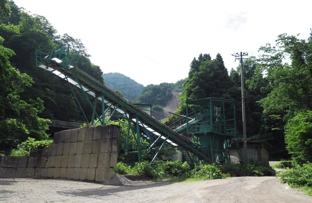
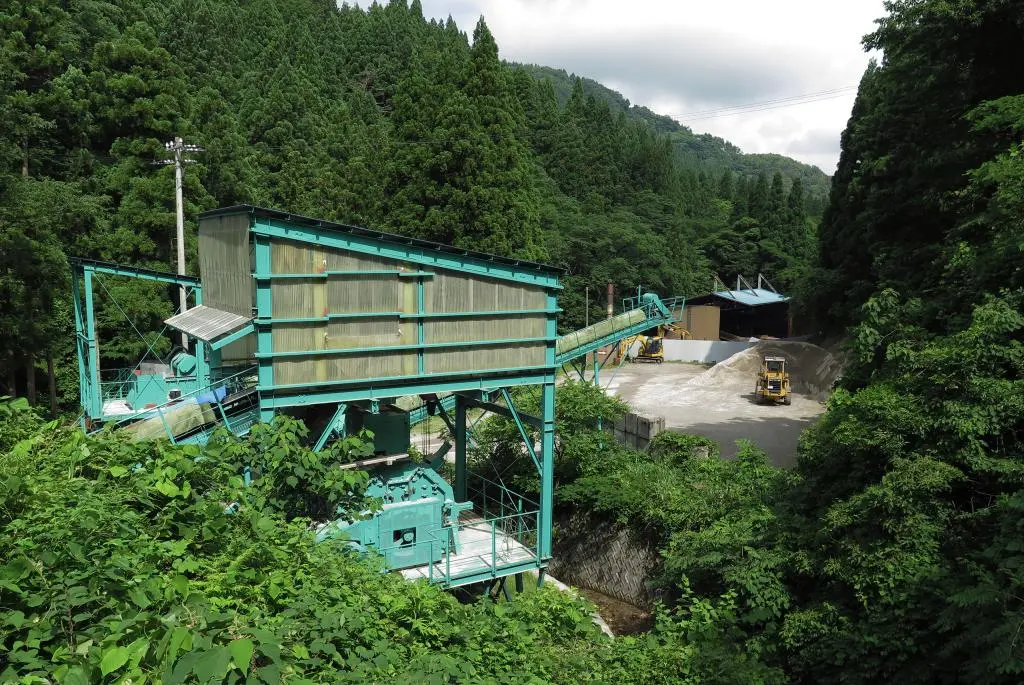
I got back in my car and continued driving south going up the mountain. Along the road were several dumping pits for concrete rubble. Further up the road was a construction site for machinery milling out parts of the mountain to create concrete and concrete blocks used for road construction and such.
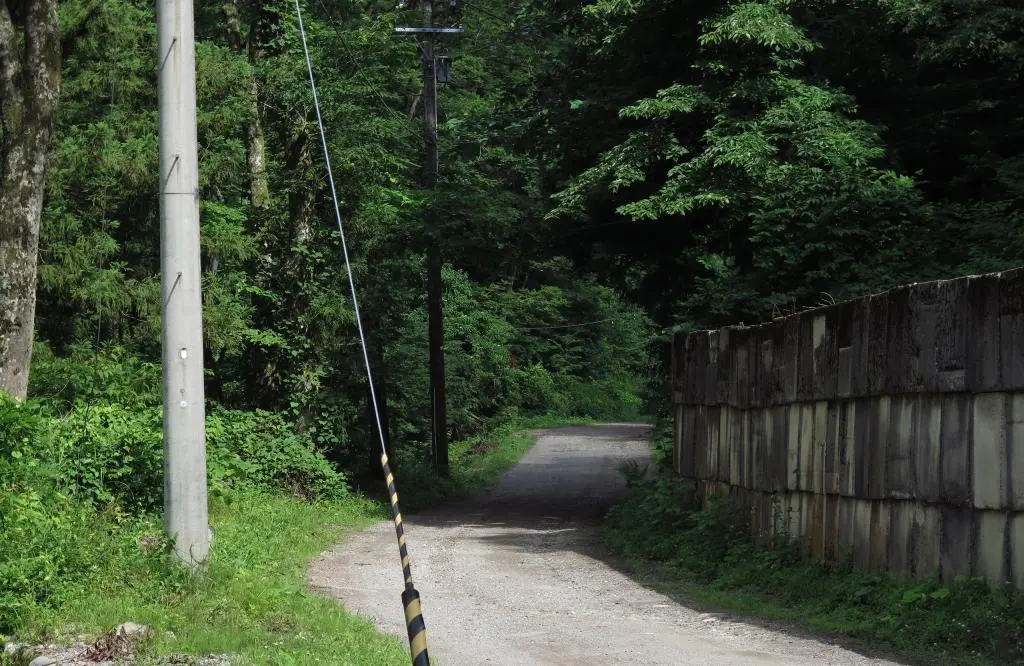
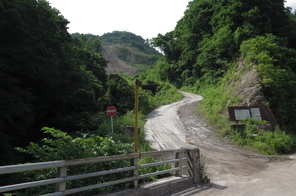
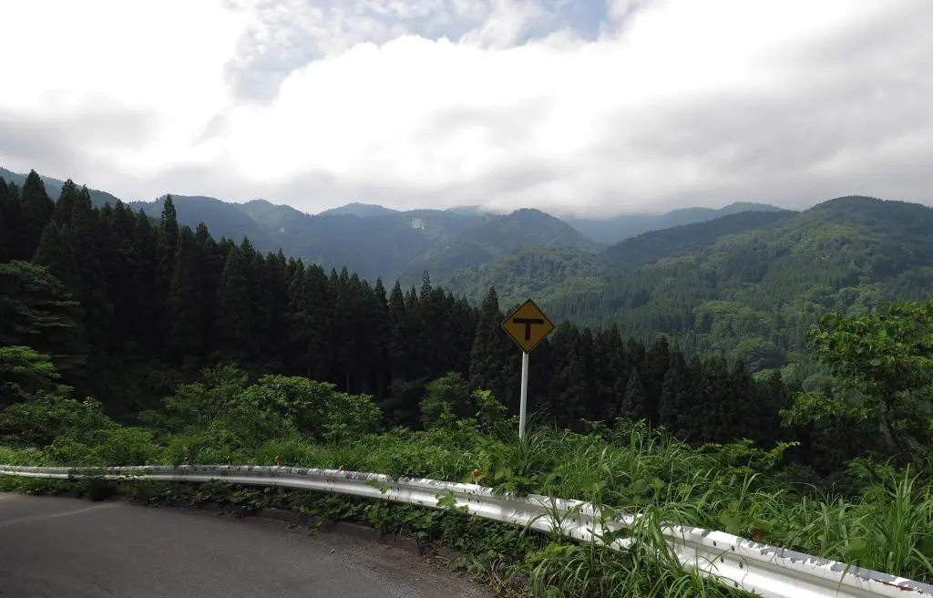
The road twisted back on itself and sharply shot up the mountain to reach the current Route 304.
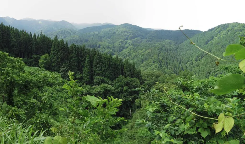
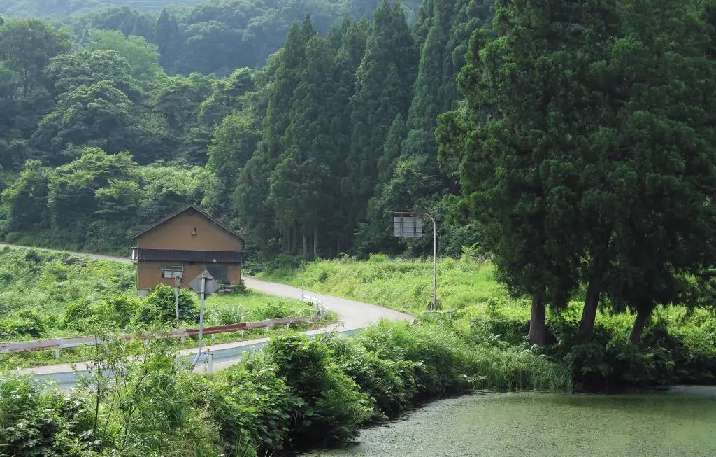
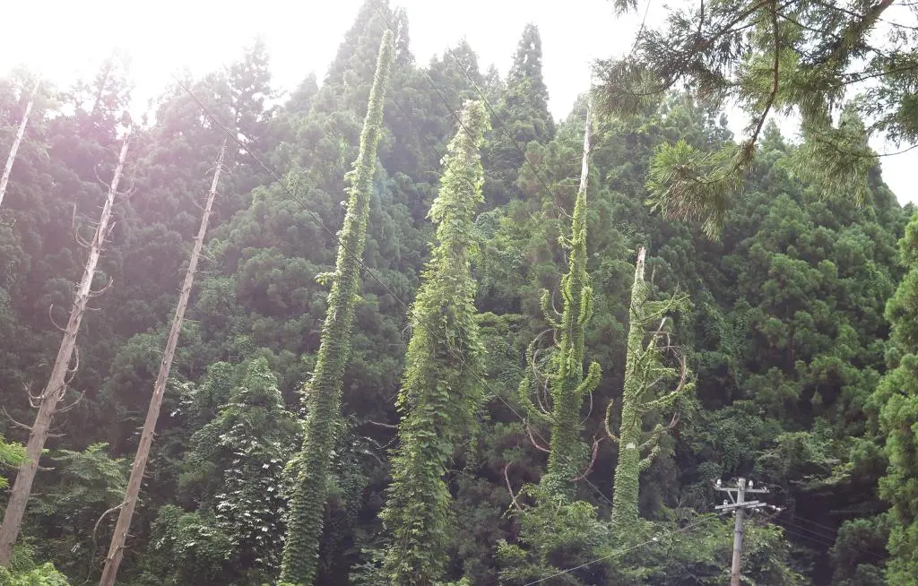
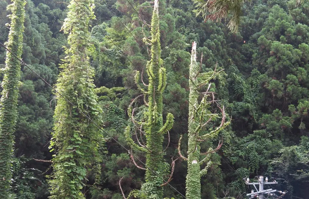
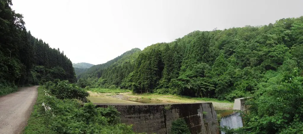
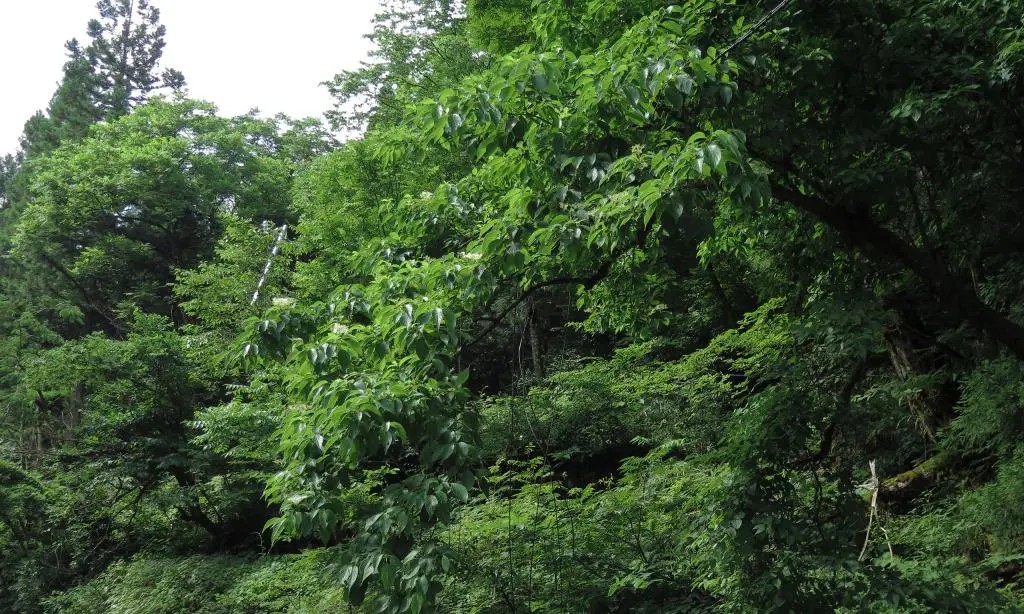
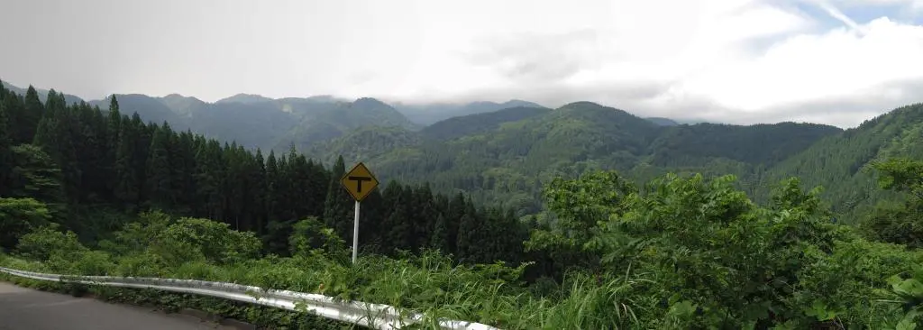
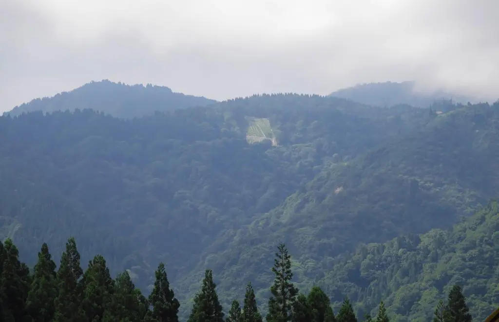
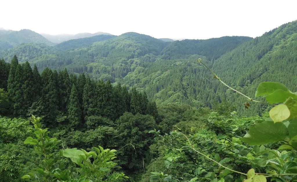
At the top of the junction, you could look back down and see just how thick the forests were after so much rain and sun in May and June. Way up in the left corner of that photo, you can see Hosoo Pass 細尾峠, the ultimate destination of all the porters who lived in Ueda Village when they transported things to Gokayama. By continuing up the new Route 304 (new as of 1970), you'll reach the destination of the porters.
By the way, finding the Ueda (Futatsuya) Village monument took a little bit of research. I had found those webpages of Hayaneko and Mr. Murakage going to the village in 2011, but it's not marked on the map, and both reports don't actually say where it is. I had a general idea where it was, though, given the location of Hosoo Pass. And just north of Hosoo Pass was Futatsuya River following north into Johana. It had to be along there, but I didn't really have confirmation.
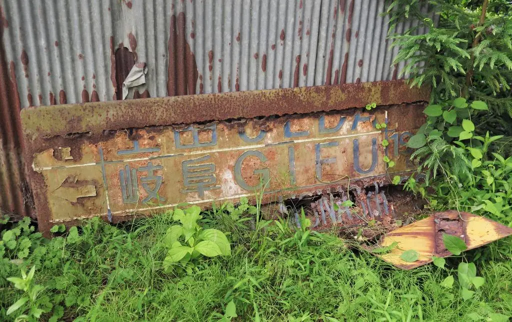
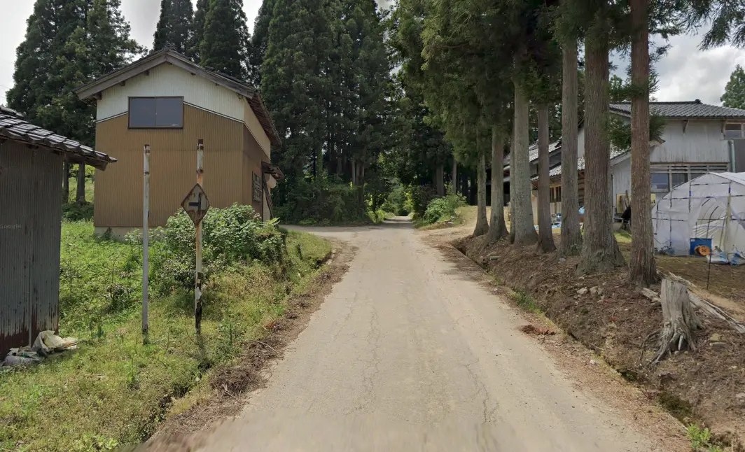
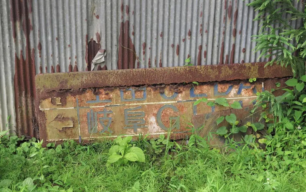
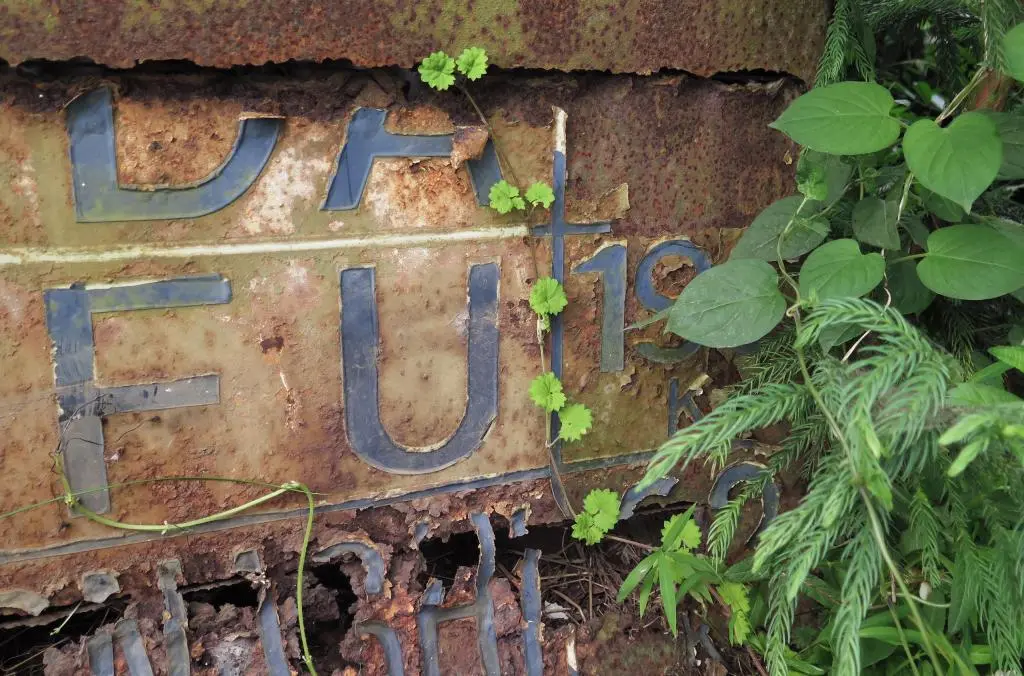
What I was really looking for was the first image in Hayaneko's Post. There was an old road sign pointing to Ueda two kilometers ahead. This had to be somewhere in southern Johana. I poked around a lot Google Map Street View, and I finally found it. This is at 36°29'03.5"N 136°53'32.4"E.
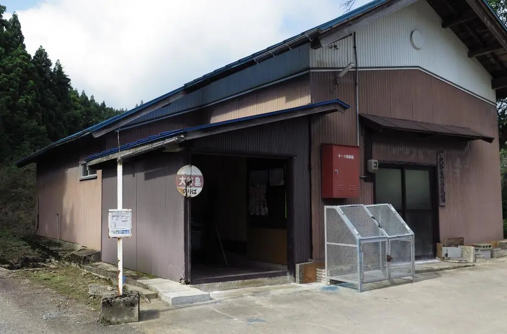
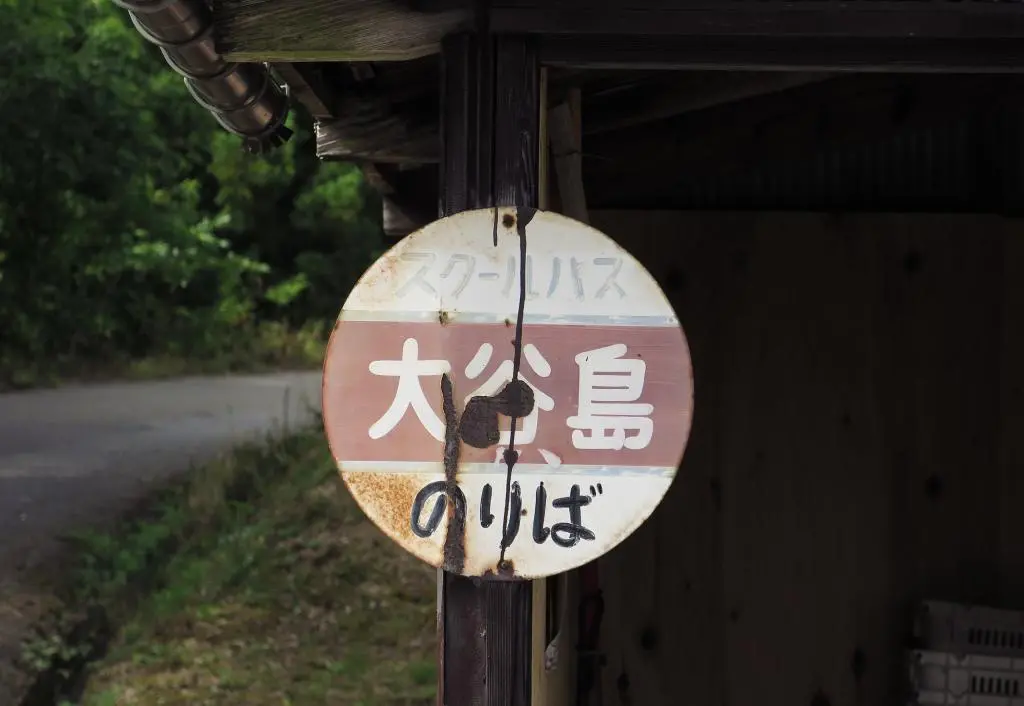
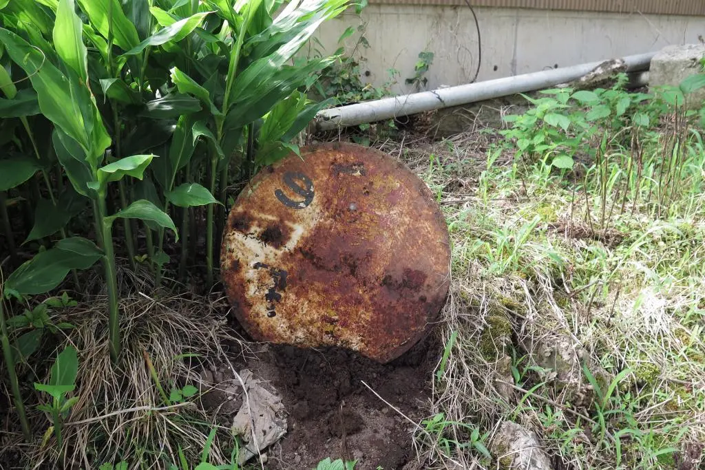
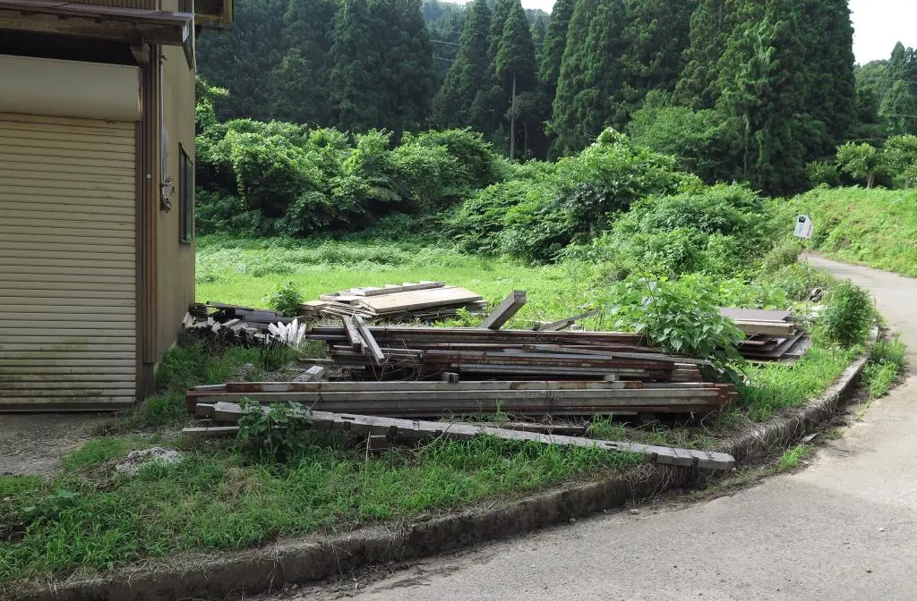
Street View had an entry for 2021 and 2012, both of which had the sign removed from its posts. When I arrived at the location, the posts were no longer in the ground. There was some debris nearby, some piles of loose lumber, possibly from a demolished shed. I found an old bus stop sign partially buried in the ground.
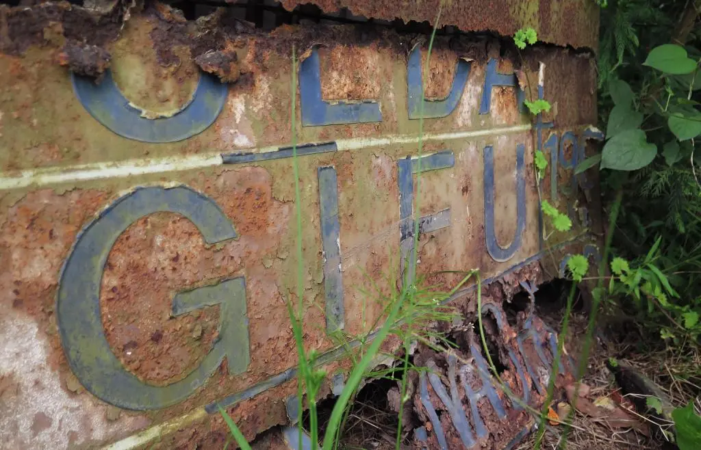
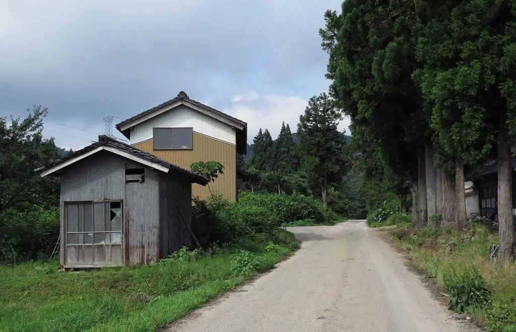
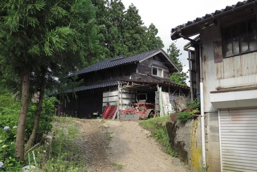
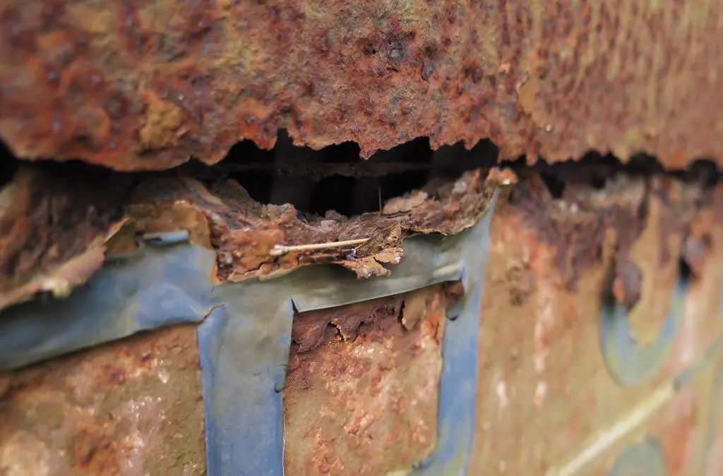
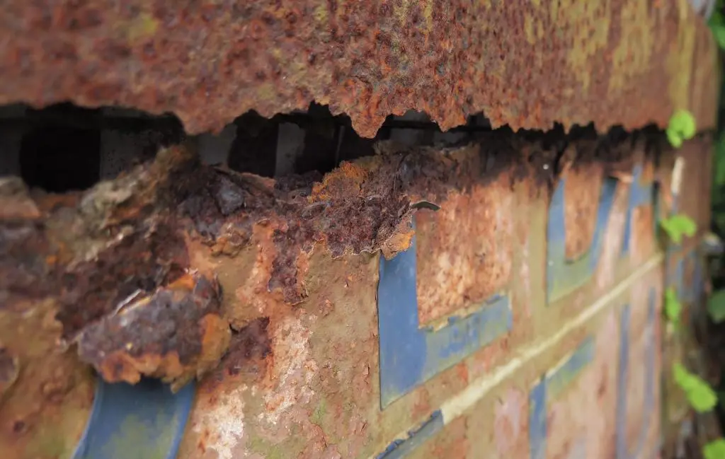
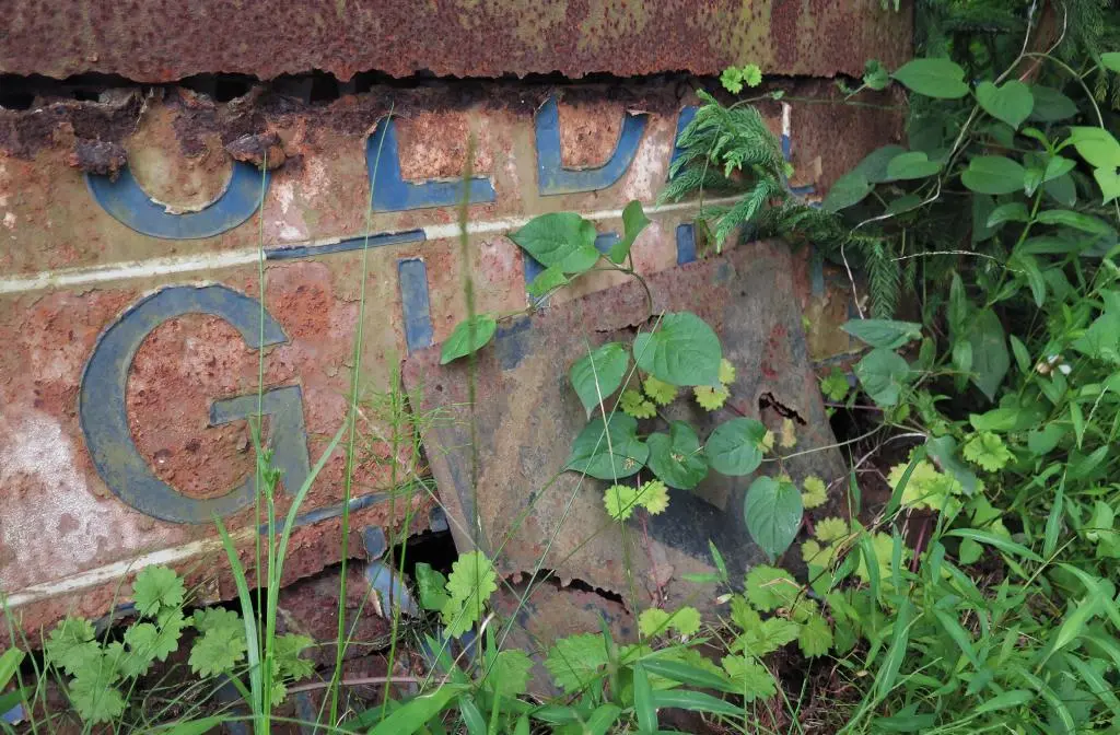
On the way back to my car, I looked over at the shed with metal siding and saw the sign, continuing to rust and decay.
Gifu was still visible, but both towns of Ueda 上田 and Shimonashi 下梨 had decayed. Interesting that those two of the three had been abandoned and decayed themselves.
After going through Ueda village and back up the mountain, my next location was another abandoned village, Nashitani Village 梨谷村. Shimonashi was the main village along river, and Nashitani was futher up the mountain between Ose Pass and Hosoo Pass.
