At the end of last semester, I had an extra class for some of my 5年生 classes at one of my schools. I didn't want them to get too far ahead of the other schools, so I wanted to do some kind of game that took up the entire class period. One of the other ALTs mentioned this particular game, so I stole his idea.
The idea was making a puzzle out of the contiguous United States, and coloring the states in such a way that you could talk about Time Zones after, as well as any other state facts you may want to teach or talk about. I've had the students guess which state I'm from. Also, they could guess where some popular states or cities might be on the map. Those kind of things.
Here's what it looks like:
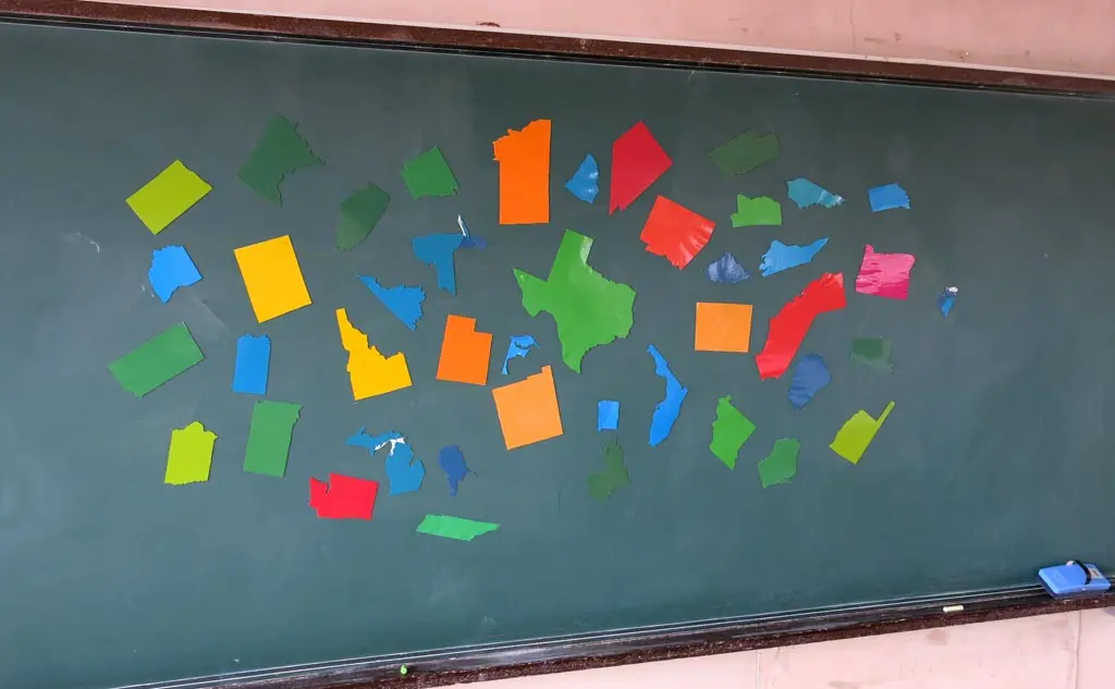
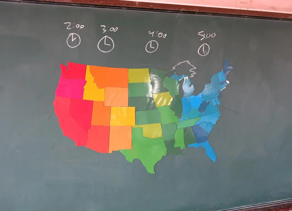
The pieces turned out really well. It works best if you have a blackboard or whiteboard to magnetically attach the pieces to. On the ground, the pieces just move around too much to form a tight cohesive picture.
For my class, I made 4 sets of these puzzles, which took me a total of, like, 15 hours, or something like that. It took a long ass time.
Below, I have attached the files, so you can print out and create your own puzzle. :) The states are separated on to 9 separate A3 print outs, and an outlined map of the states is included, too. That's A4, though.
After the first week of working as a teacher in Japan, I downloaded a vector image of the United States to introduce myself to the students. I used that vector image to create these print outs.
I sized the image so that Texas and California would fit within the space of A4 paper. With that in mind, all the states fit within 9 separate A3 printouts.
Also, all the states are colored to (mostly) reflect the 4 time zones in the contiguous U.S., and no adjoining states have the same color, which is a good hint to give the students when they're putting together the puzzle.
Again, feel free to download my files, and follow the next couple of steps to make your own copy of the puzzle.
First, Print out all the pieces using a color printer. Be sure to set the paper output to A3.
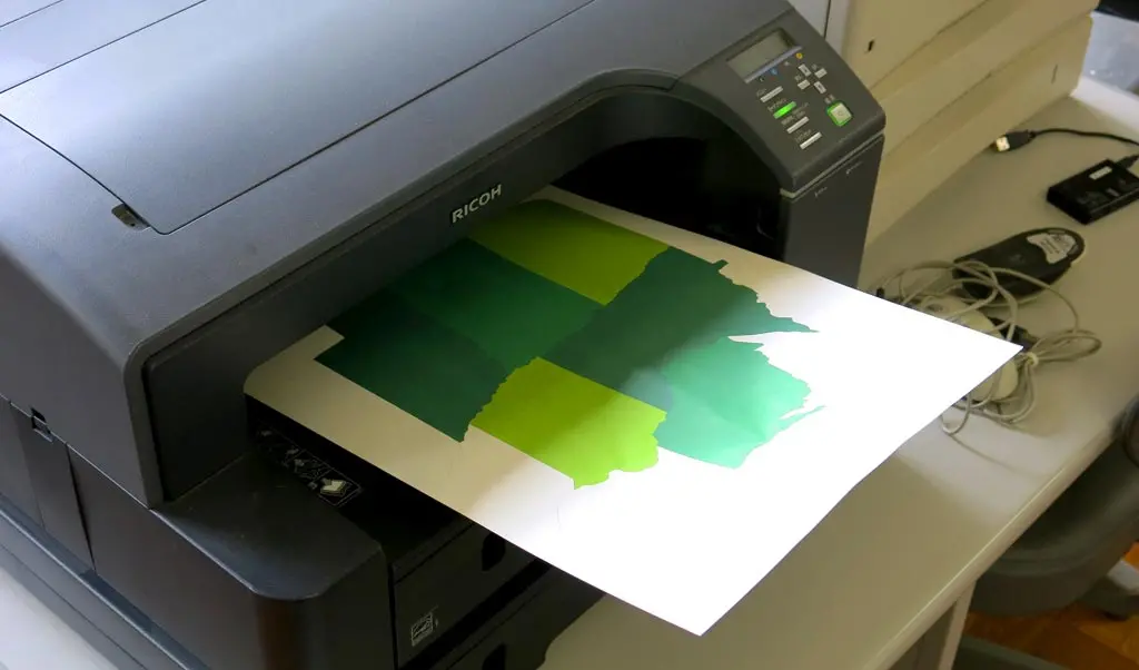
Next, you need to laminate each of the pieces. Every school should have a laminator, and A3 sized laminator film. I guess you should ask if you can use these things, but they are available for you, or any teacher, to use to create your materials.
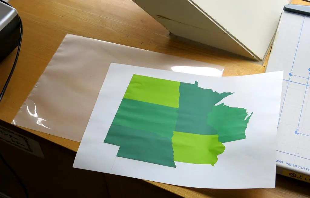
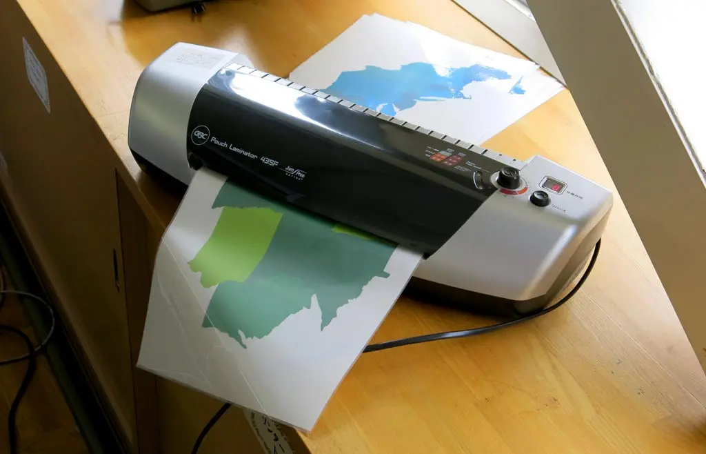
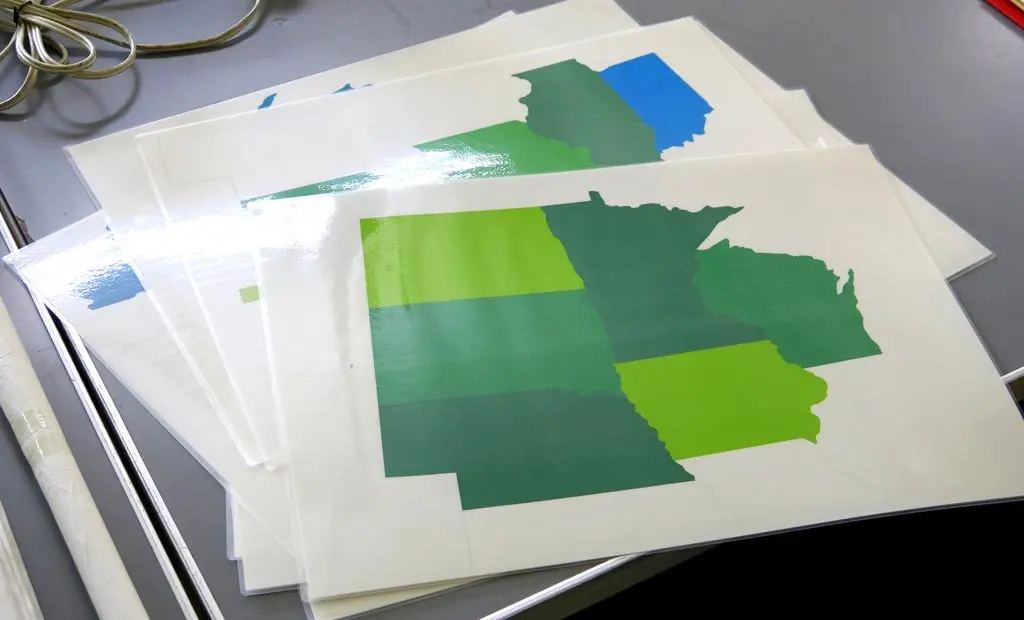
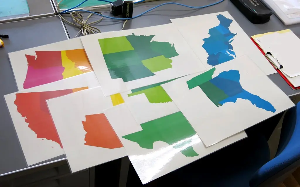
This probably takes about 35 or 40 minutes to do depending on how fast your printer prints, and how fast your laminator laminates. For my 4 sets, I think it took around 2 1/2 hours.
Find some really nice, stiff, strong scissors, and cut along the edges of each of the states.
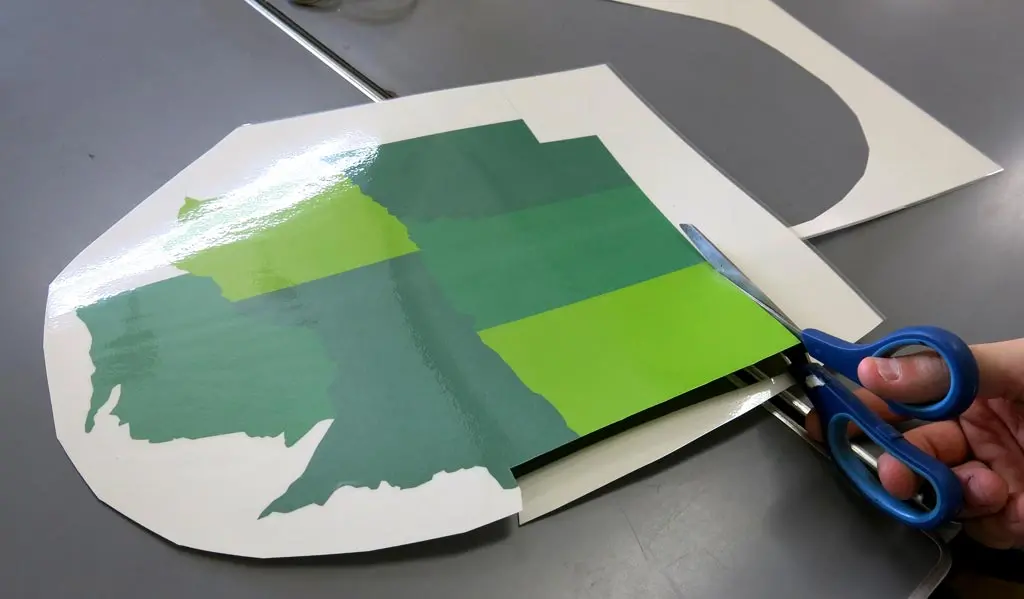
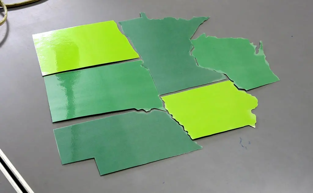
The western states are the most easiest because they are large, and mostly rectangular. The eastern states are tiny, numerous, and have a lot of goofy edges that can take a while to clip if you're being precise about the shape of the state.
Some eastern states are so small that I kept several of them together. Like the following:
- Vermont and New Hampshire I left as a single piece.
- Massachusetts, Rhode Island, and Connecticut are also a single piece.
- New York and New Jersey are a single piece.
and
- Maryland, D.C., Delaware, and the eastern end of Virginia are also a single piece.
All other states are fine as single pieces.
This is the most time consuming part of the process. I think it took me about 1 1/2 hours, or 2 hours, to cut out each of the state for a single set. I don't actually remember how long it took me to cut out all these pieces, but I do remember for all 4 of my sets it took longer than the length of 3 movies.
Lastly, attach magnets to each of the pieces.
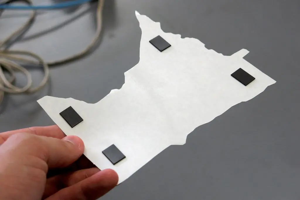
The schools won't provide any magnets to attach to your pieces (or any other materials), so you need to buy those yourself. The 100円 shops carry magnets that work pretty well. For a mere 108円, you can get a pack of 250 pinky-sized magnets.
This doesn't take very long to do.
All done.
Again, I used this in my 5年生 classes at one of my schools. I wanted it to take the entire class period, so I didn't give them a map to view from. Thinking back on that now, it was incredibly unfair of me to do that. If you were given any puzzle, you need a full image to figure out how to build it. I still drew the outline and some of the states on the backboard for them, and helped them out building the puzzle. But they needed an image to build from.
So, for the 5年生, it took them the whole class period, or 40 minutes to build the puzzle.
Over the summer, we had an English summer camp for the junior high students, and I used this game again. This time, I had a cover image for the students to build from, so they immediately figured out where to start and how to build it.
For the junior high school student, each group of 5 students took about 10 minutes to build it, without any help.
Anyway, it's not a bad activity.
It does teach culture and geography rather than English, though. And following that model, I think it would really help if I had a scale-sized image of Japan to compare so the students could conceptualize just how big the U.S. is compared with Japan.
Also, if you have some classes with around 40 students, 4 copies of the puzzle won't be enough. I think it works best when the group size is small.