On the border between Takayama City, and Hida City, between Kiyomi Village and Furukawa Town, there lies a mountain named Ibuseyama 猪臥山. The website said it was famous, but when I mentioned it to a few local teachers, none of them had heard of it. The peak of Ibuseyama is about an hours drive from Furukawa, so I decided to take a look.
Out of Furukawa, there's a road named Hwy 90, and it acts as a shortcut for people in western Hida City to reach the tollway entrance in Kiyomi, named the Hida Kiyomi IC 飛騨清見IC. The road starts off rather large and straight, but there are pockets of houses that do not allow the road to continue this way. The road windily climbs up the side of a mountain and through a forest. At its peak, the road levels off, widens, and continues straight once again. After the road widens, it goes through a near 4.5km long tunnel, and then you're nearly at the tollway entrance.
To get to Ibuseyama, you need to turn into a neighborhood right before this tunnel. This one: N36° 13' 14.45", E137° 9' 0.4". In fact, this very turn can be seen from the peak of Ibuseyama. The road becomes very narrow, and the forest becomes thicker, and more debris is scattered on the road since very few people actually go this way.
After 20 minutes from Furukawa, you reach a very remote area of Kiyomi Village 清見村, the Odori neighborhood 小鳥町. Here: N36° 12' 22.42", E137° 6' 19.88".
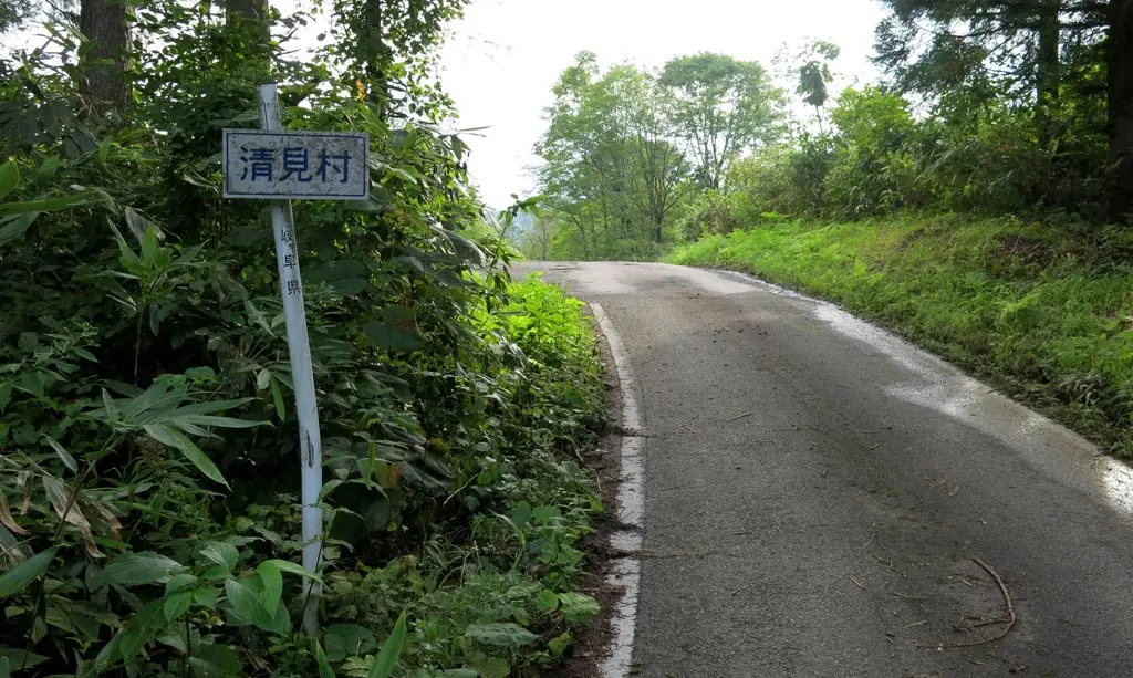
There's a crossroads here. I stopped my car, and got out to take this photo. After standing, there was absolutely no sound. No running water. No wind. No animals. Nothing. It was dead silent. Once crossed into this remote area of Kiyomi, it was like I entered a dead zone. Maybe it was haunted.
Anyway, at this crossroads, I had two choices. Make a left and continue to the mountain, or continue straight through the Odori neighborhood 小鳥町 of Kiyomi. I went left.
The road is paved, which is nice, but much of the pavement is cracked and bulging from the movement of rock underneath, erosion by water and melted snow on the top, or landslides that had previously taken out part of the road.
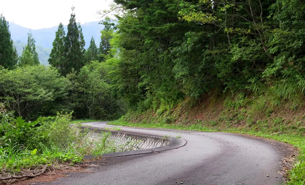
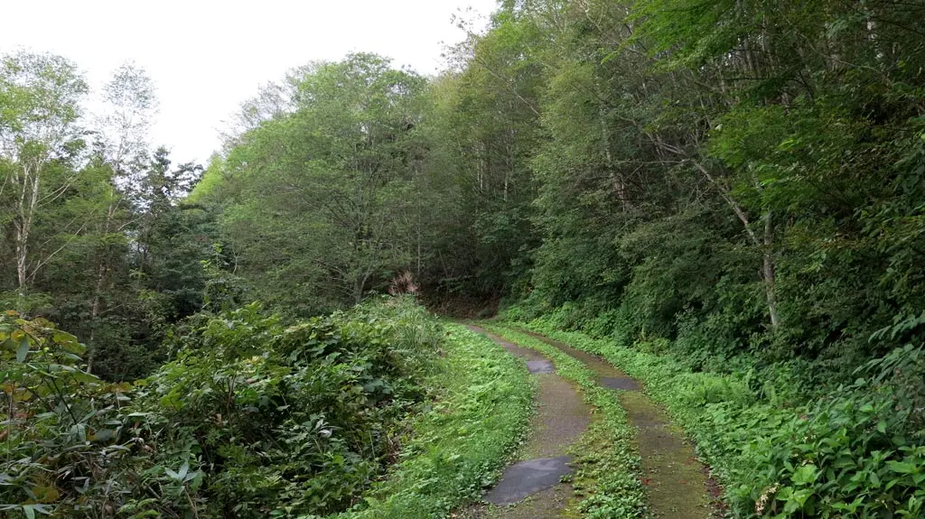
My little car continued to climb. I went past several hairpin turns exceeding 180 degrees. There were several drop offs with no guardrails. And lots of loose rock covering the roads making it sometimes difficult for my car to get a foothold.
With every passing turn, the height of the forest became a little shorter, and more sky started shinning through. There were more dramatic plateaus, and more dramatic views of the distance I've traveled.
I stopped a few times to take photos, but after 30 minutes, I reached the end of the road.
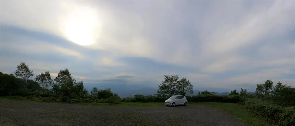
I was here: N36° 11' 27.9", E137° 6' 48.04". I made it, and parked my car. Nearby was a bathroom that was not regularly serviced. I could see all the distance I had traveled up to that point, but there was still more to go to actually reach the peak.
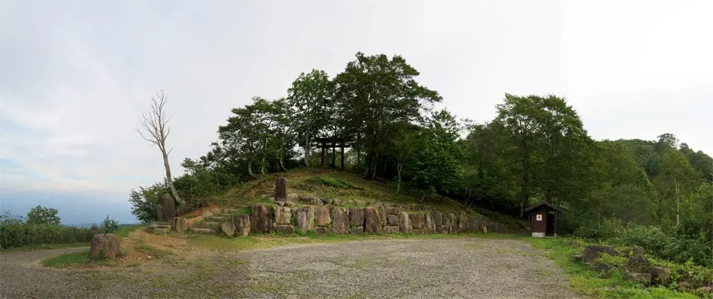
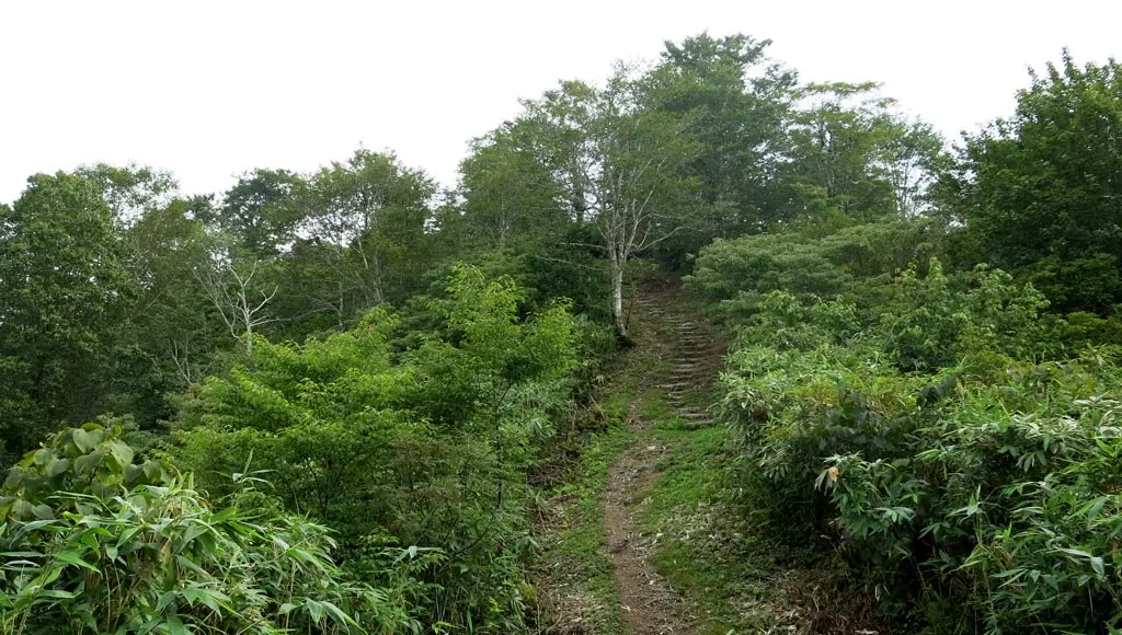
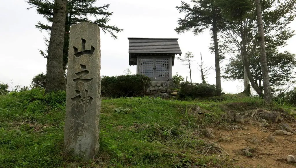
I climbed the stairs, and was met by heaven's gate. Continuing along, I met the god of the mountain 山之神. Here: N36° 11' 23.82", E137° 6' 48.84".
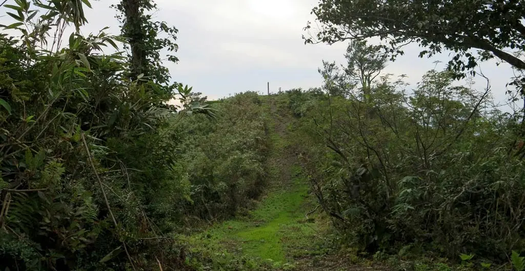
Further still was the peak. N36° 11' 23.52", E137° 6' 45.87".
The cement obelisk marked the exact peak of Ibuseyama at 1519m above sea level. Next to the marker was a circular monument that labeled all of the surrounding mountains, and also marked the directions of the nearby towns and villages.
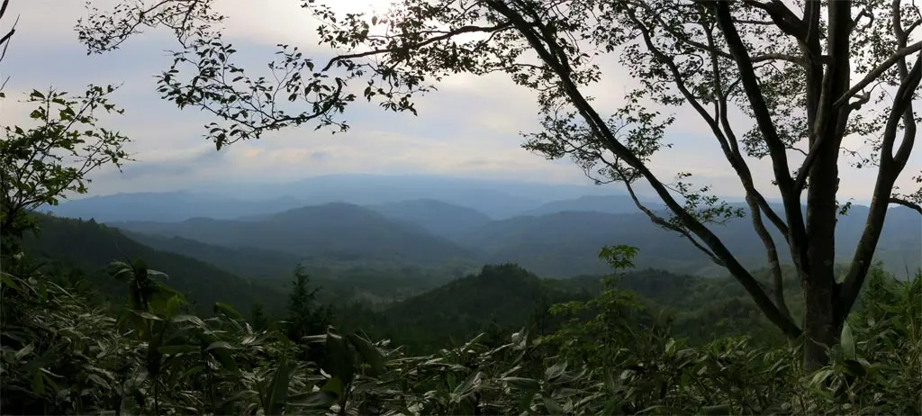
From the peak, you could see almost everything. To the north, you could see Furukawa 古川, and a little bit of Kokufu 国府 that isn't obscured by a mountain. To the east, you could see part of Takayama 高山, though I could not make out the city hall building. And to the south, you could see the tollway entrance 清見IC, which is really the only human structure visible in Kiyomi, besides power line and cellphone towers.
Here are some panoramic photos:
1. A close-up of Furukawa 古川.
2. A close-up of Kiyomi 清見.
3. And a 360 degree view of the clouds before I left.
I really should've went earlier in the day when there wasn't as much cloud cover, but the scenery still looked amazing. The whole area seemed so big, and human civilization seemed so small. So much of Japan is over crowded, but up in the mountains, there's barely anyone. The mountainous forested wilderness still holds its ground.
I stayed up here for probably 30 minutes. The slight dimming of the sky made me worried about having to travel through the difficult mountain road in the dark.
As I left the peak, some of the clouds on Norikura-dake 乗鞍岳 began to fade away.
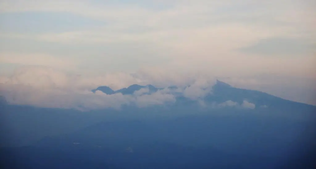
Also, as I left, I could hear the 5pm curfew chime ringing in Furukawa from all the way up here.
I got in my car and continued down the mountain road back to the crossroads. This time the fenced in area actually had roaming cattle!
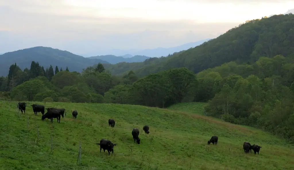
Rather than return to Furukawa, I decided to push forward into the Odori neighborhood of Kiyomi for an ulterior motive.
There used to be a branch school of Ikemoto elementary 池本小 in this remote area. It was named the Odori Mountain Branch School 小鳥山分校. In closed in 1968 after its remaining 2 students graduated or moved or whatever. Even in 1955, it only had 8 students. I think this was the site of the old school.
These days the neighborhood only has one household from what I could tell. That was the farmhouse you could see from the peak. This house owned the nearby grazing fields, and several farming fields, too.
Once I passed a few more fields on the west end of the farming area, the road went into the forest, which was getting darker with the setting sun.
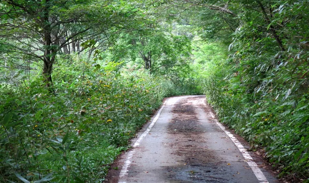
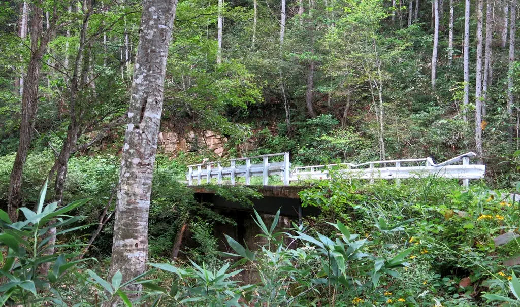
The road was narrow, and winded through the forest following the stream of water trickling down the mountain. It wasn't very steep, though. There were several turn-offs from the main road, but were immediately blocked by a gate preventing public access. I was really afraid that this main road would eventually have the same fate, and force me to turn around.
The river continued to grow the further down the mountain I went. What once was a tiny stream, now became a babbling broke, and then a creek. The road was in better and better condition, too, the further I went, which gave me hope I was approaching the exit.
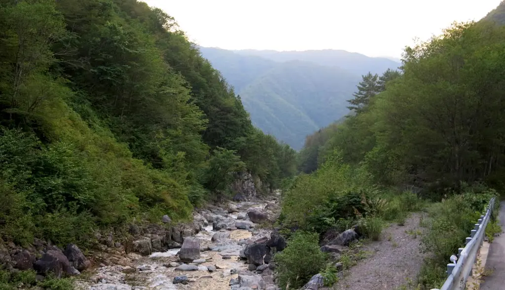
After one more turn around the side of a mountain, the road widened and straightened. I was able to drive nearly 60mph again, rather than the careful cautious 10mph or 15mph I had been driving up until now.
I passed huge quarries, and construction workers tearing up part of the mountain.
Then I finally reached the exit at N36° 11' 55.95", E137° 2' 29.53".
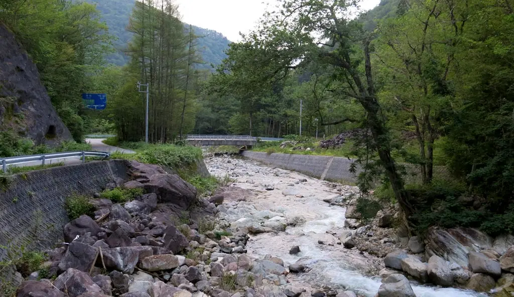
I was back on the main road in the Ikemoto neighborhood 池本町 of Kiyomi. I had traveled nearly 45 minutes to get to this point from the peak, and now there's only another 10 minutes to get to the highway, and being able to speed back to Takayama. The exit for this area was near the Ikemoto elementary site, and Kiyomi's zakura tree, directly underneath a bridge for the tollway.
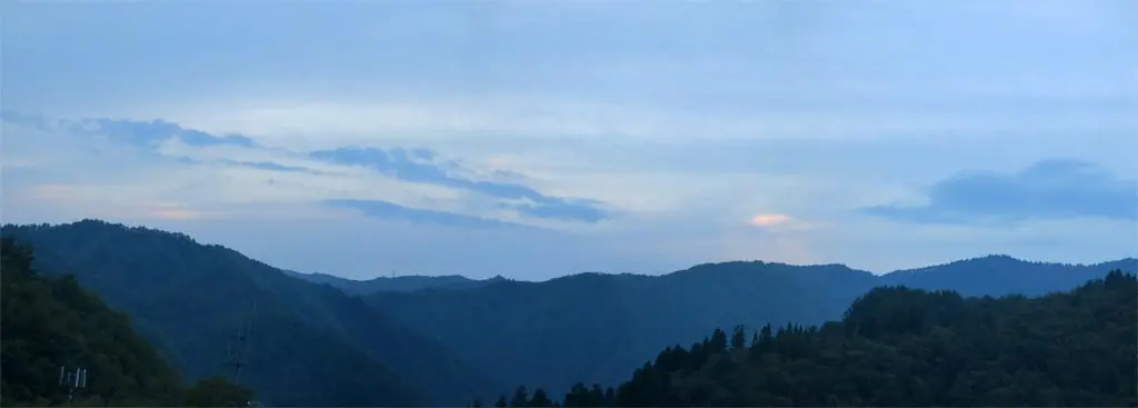
I drove to the highway entrance, and stopped on the suspended on-ramp to take a photo of where I was only one hour ago, the peak of Ibuseyama, which is somewhat muddled in the amount of mountains. It's near that cellphone tower on the left side of the photo.
This is just one of many mountains in the Hida Takayama area, and perhaps the easiest and cheapest one to climb. I have a list and maps of 12 other hiking trails to the peaks of mountains in Hida city.
Now isn't the best time to climb due to the rain, and cloud cover, but as it gets colder, and fall approaches, the skies will become clear, and the scenery will look even more beautiful. Hopefully I have time, and the weather cooperates to allow me to continue viewing Hida Takayama from the sky. :)
| 3:35pm | by car 車 | Hwy 41 / Hwy 90 Junction | |
| 3:45pm | by car 車 | Hwy 90 Turn off | N36° 13' 14.45", E137° 9' 0.4" |
| 4:10pm | by car 車 | Kiyomi Village - Odori Pass 清見村 小鳥峠 | N36° 12' 22.42", E137° 6' 19.88" |
| 4:30pm | by car 車 | Ibuse-yama Parking 猪臥山 P | N36° 11' 27.9", E137° 6' 48.04" |
| 4:40pm | walking 歩く | Ibuse-yama Summit 猪臥山 峰 | N36° 11' 23.52", E137° 6' 45.87" |
| 5:00pm | walking 歩く | Ibuse-yama Parking 猪臥山 P | N36° 11' 27.9", E137° 6' 48.04" |
| 5:20pm | by car 車 | Kiyomi Village - Odori Pass 清見村 小鳥峠 | N36° 12' 22.42", E137° 6' 19.88" |
| 6:00pm | by car 車 | Hwy 478 Junction | N36° 11' 55.95", E137° 2' 29.53" |
| 6:15pm | by car 車 | Kiyomi IC |
