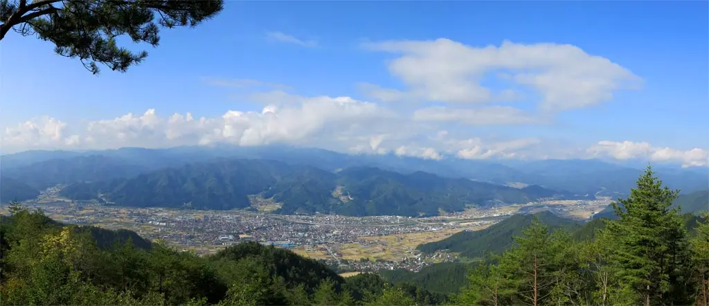
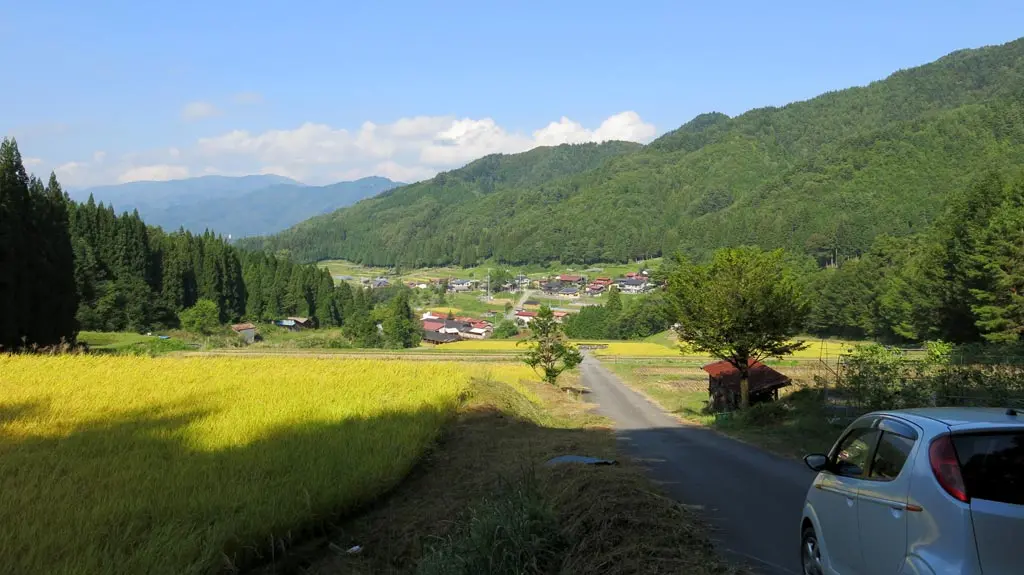
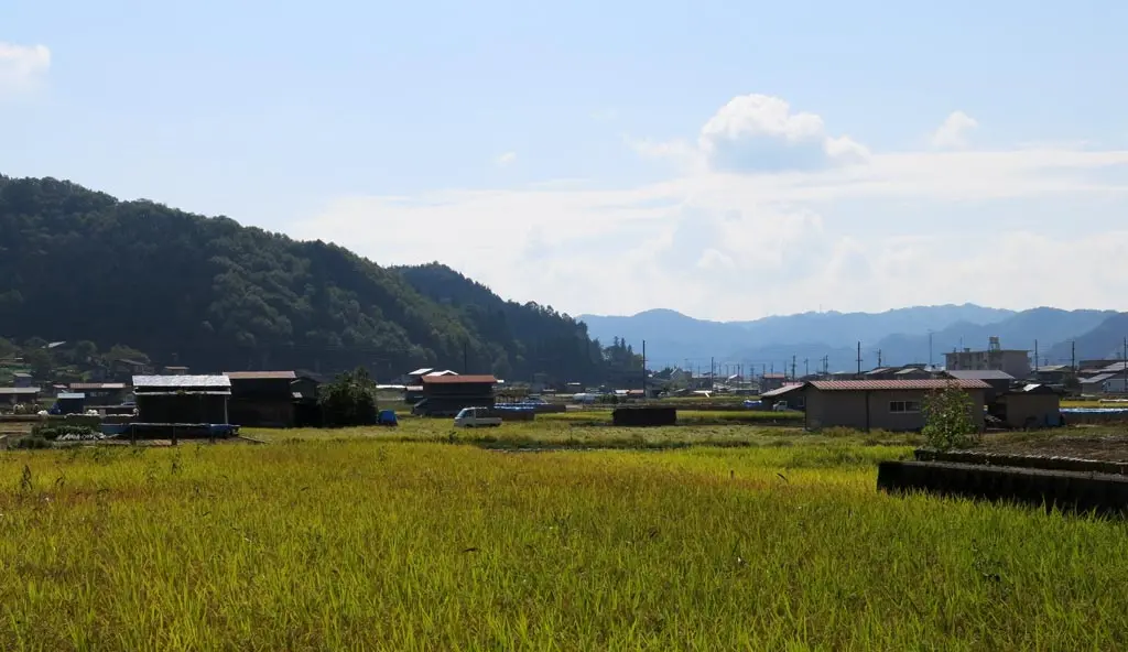
Anbousan 安峰山 is another very near by mountain. It's peak is on the border of Furukawa Town 古川 in Hida City 飛騨市 and Kokufu town 国府 in Takayama City 高山市. From the summit, you can see all of downtown Furukawa. It was another great day on Saturday morning, so I woke up early and took off toward Furukawa.
There are 3 ways to reach the summit of Anbousan. Here is the correct way:
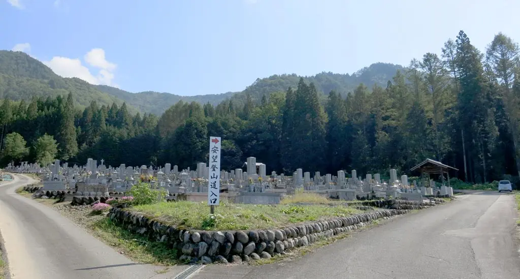
In Furukawa, between Kita Wakamiya Shrine 気多若宮神社, and Yoshiki High School 吉城高校, there's a graveyard. And behind that graveyard, there's a small parking lot. Past that parking lot, the road continues into the forest, and connects with the trail entrance. From here, the sign indicates it will take an hour to ascend the mountain and reach the summit.
But, I didn't do that. There are 2 additional ways to reach the summit. One of which is going through the Taie neighborhood 太江 west of the mountain.
In the Taie neighborhood, there's a sign pointing toward a farm. I drove past the sign, through the farm, and reached a gate.
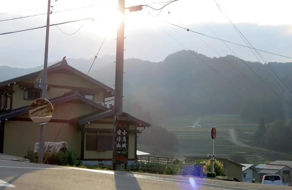
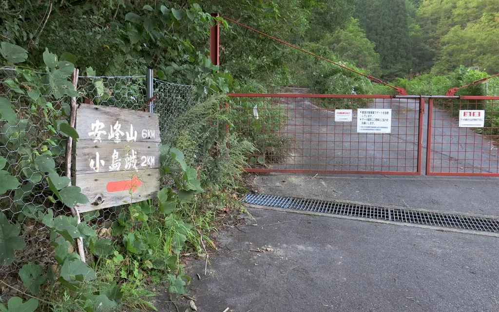
This gate is not locked. In fact, the sign says ゲートを開けたら心ず閉めて下さい, which means, "If you open the gate, please close the gate." Entry is not prohibited. I think it's just meant the keep out bears, and other wildlife.
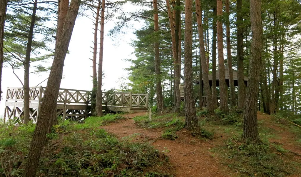
As the sign indicates, it's a quick 6 km drive to reach the summit. Parking is directly next to the summit. Using this route, there is no climbing at all. The road is completely paved, too.
I reached the summit around 7:30 in the morning. There were perfect clear blue skies when I left my apartment at 6:45, but some clouds began to move in and obstruct the view. :(
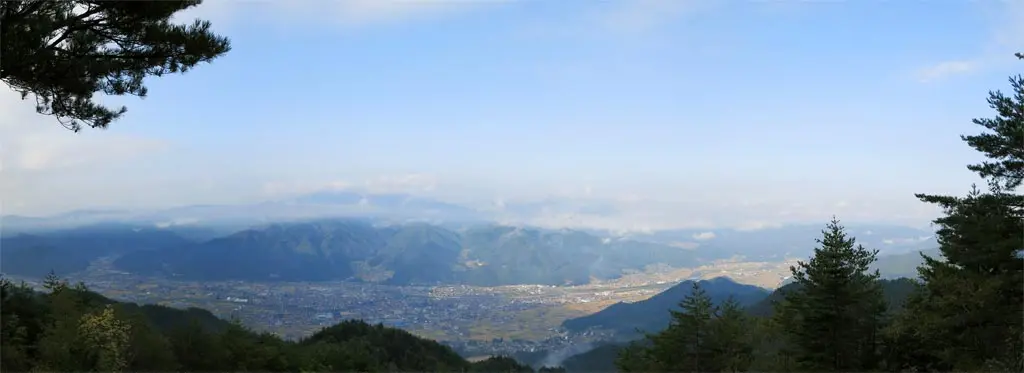
The clouds started making my photos a bit uneven, and it was a little difficult to get decent captures of Furukawa below. But, you could totally see all of Furukawa. You could see the station 古川駅, the museum, route 41, Furukawa elementary school 古川小, Furukawa junior high school 古川中, Yoshiki high school 吉城高校, too… everything.
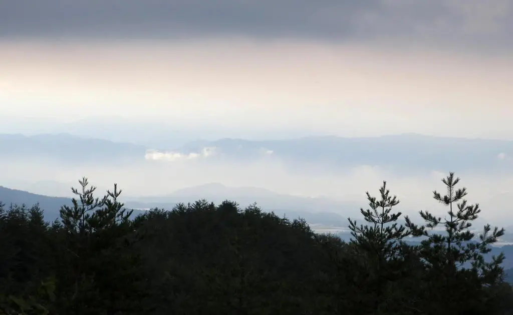
Unfortunately the trees and hills of the east obstructed views of Kokufu. But the encroaching clouds looked beautiful and layered.
I was a bit discouraged. I figured the clouds would eventually clear up, but I didn't want to wait around for an hour or two. So, I continued toward the other interesting part of the area, Kojima castle ruins 小島城.
There was a fork in the road a few kilometers back. Taking a left brought me to the summit. Taking a right will bring me to the castle ruins. I made my way back to the fork, and continued toward the ruins.
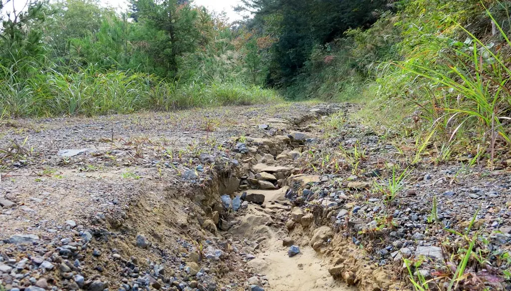
Unfortunately, this road was not as well kept as the road leading to the summit.
Cracks and fissures separated parts of the road. This was probably a nice dirt road before the typhoon and floods and all that. The running water cut through the weak points of the road, washed away the dirt, and exposed the heavy rock underneath. It was slow driving, but not impossible.
It felt like forever, but only after 10 minutes, I made it.
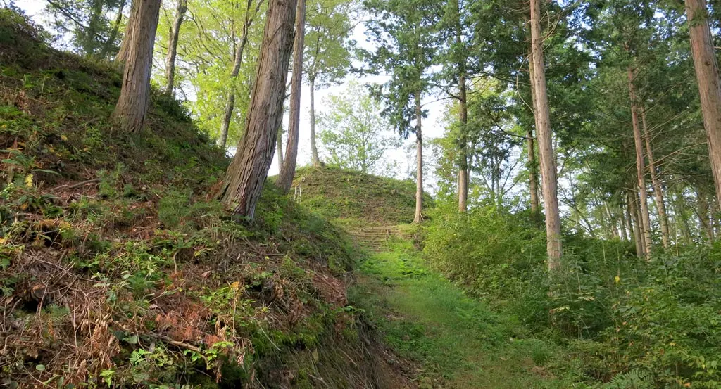
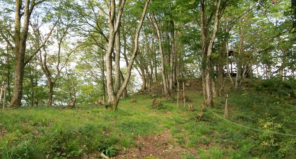
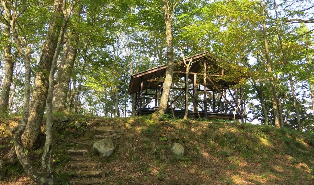
There really aren't any signs of any previous structures in this area at all. The only record are the pillars planted in the ground in a few places indicating buildings that once used to be there.
Prior to Yoritsuna's seizure of the Hida province, and the creation of Matsukura Castle 松倉城 in the 1500s, in the 1300s, another general of the Anegakoji line seized Hida for his army. He built Kojima castle 小島城 to defend Hida. He created a few other defending castles in the area as well. In fact, throughout time, this whole area had more than a dozen castles and forts.
I was at the ruins for a little while, and I noticed the sky has really opened up. All the clouds that darkened the view from before had gone away. With this opportunity, I hopped in my car, and drove back to the summit.
And everything was a lot more clear when I returned. :)
The town was crystal clear. There was a group of hikers at the summit when I arrived. 4 men and a woman. They were taking group hiking photos of their recent accomplishment, and having a good time. They left not too much longer after I arrived. They made some comments about how I drove to the summit, rather than hiked. I dunno. I guess driving up this mountain was cheating, but whatever.
I was satisfied. I exited the road through the original gate, and drove around Furukawa a little bit.
I drove to the official and correct entrance to look around. Again, near the entrance is Kita Wakamiya Shrine 気多若宮神社, one of the more prominent shrines in Furukawa. Behind this shrine are a series of dams that lead up the mountain. The trail for Anbousan follows the dams and rivers. I reached this area about an hour after I left the summit. I met up with the same group of hikers from the summit, too.
Anyway, that's Anbousan. You can drive to the summit, and view all of Furukawa from the peak. I would love to go here while the sun sets and see what the town looks like. I might be able to get up here during the winter, too, provided someone plows, or the snow on the road melts.
| 7:10am | by car 車 | Taie Gate 太江ゲート | N36° 15' 16.47", E137° 11' 12.25" |
| 7:15am | by car 車 | Fork in the road | N36° 15' 3.08", E137° 10' 58.9" |
| 7:30am | by car 車 | Anbousan Summit 安峰山 峰 | N36° 14' 59.28", E137° 12' 46.05" |
| 8:00am | by car 車 | Fork in the road | N36° 15' 3.08", E137° 10' 58.9" |
| 8:10am | by car 車 | Kojima Castle Ruins 小島城 | N36° 15' 6.43", E137° 10' 29.11" |
| 8:35am | by car 車 | Fork in the road | N36° 15' 3.08", E137° 10' 58.9" |
| 8:45am | by car 車 | Anbousan Summit 安峰山 峰 | N36° 14' 59.28", E137° 12' 46.05" |
| 9:05am | by car 車 | Fork in the road | N36° 15' 3.08", E137° 10' 58.9" |
| 9:10am | by car 車 | Taie Gate 太江ゲート | N36° 15' 16.47", E137° 11' 12.25" |
| 9:45am | by car 車 | Anbousan Trail Entrance 安峰山 登山口 | N36° 14' 37.22", E137° 12' 21.45" |
