Takayama is a city high in the northern Alps of Japan. We are completely surrounded by some of the highest peaks in the country, but there are plenty more low lying mountains standing above us. Towards the end of summer, I became interested in hiking some the nearby mountains, and seeing our town from above, and had plenty success. I wanted to hike during the winter to see the seasonal differences, and yesterday finally had great weather to do it.
I decided to hike Harayama 原山, a mountain I had already hiked once before on September 20th. It's probably the highest mountain nearest the center of Takayama, and it has a great view of the Shingu 新宮 neighborhood, and some of the downtown Takayama, too.
Harayama was one of the easiest hikes I did over last summer, and you can drive quite near the peak. In winter, things were much different.
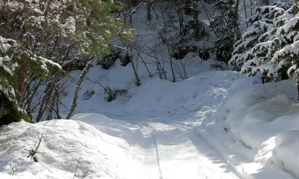
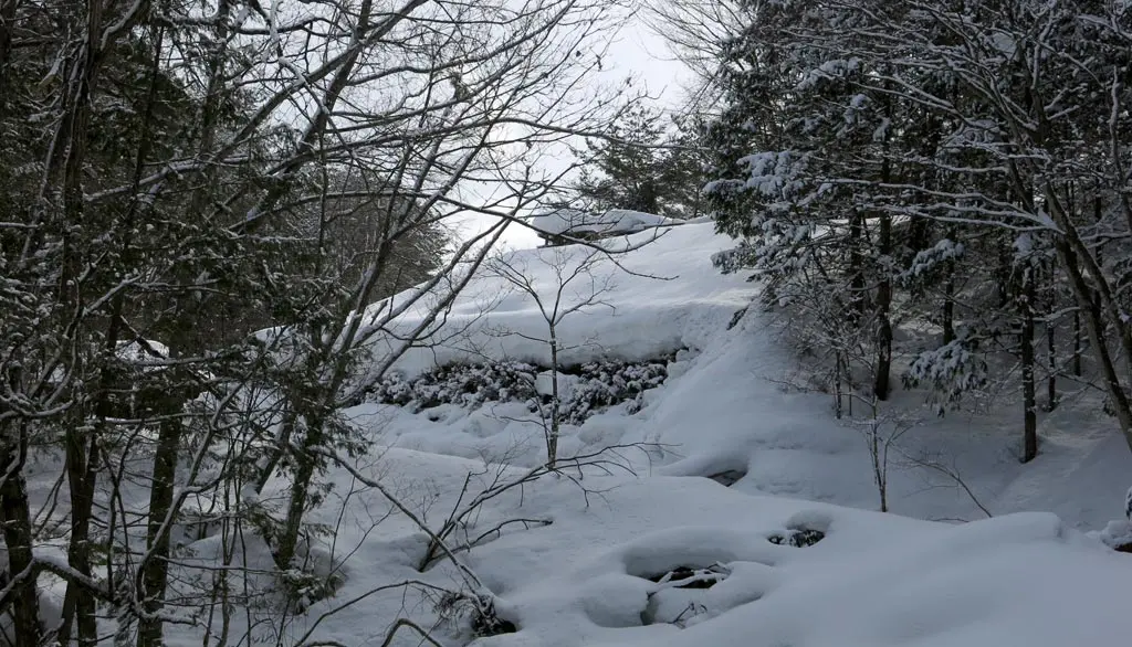
Unfortunately, with the heavy snow we received last December, many of the trees lining the mountain pass had collapsed, blocking the road. It was completely blocked only 100 or 200 meters from Hida no Sato 飛騨のさと.
Several other cars had parked near the block, so I did the same. I parked my car, and began my hike.
I wasn't too worried since I had already hiked this area once before. I knew the distance I needed to travel. However, hiking in snow was WAY more difficult than I thought it would be, and there was a lot of damage from that December snowstorm that had not yet been cleaned up.
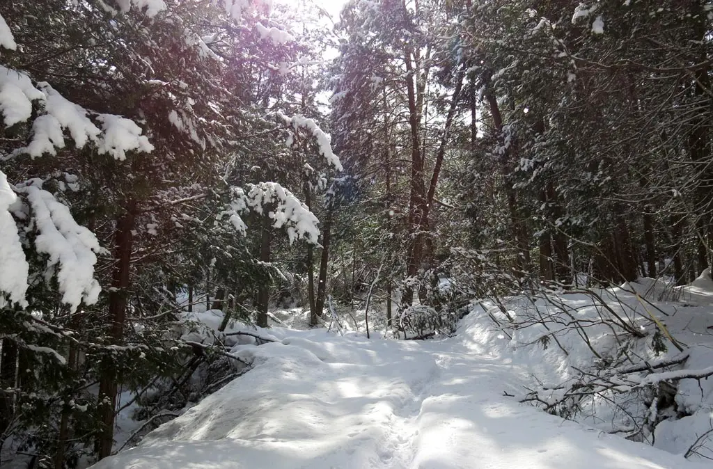
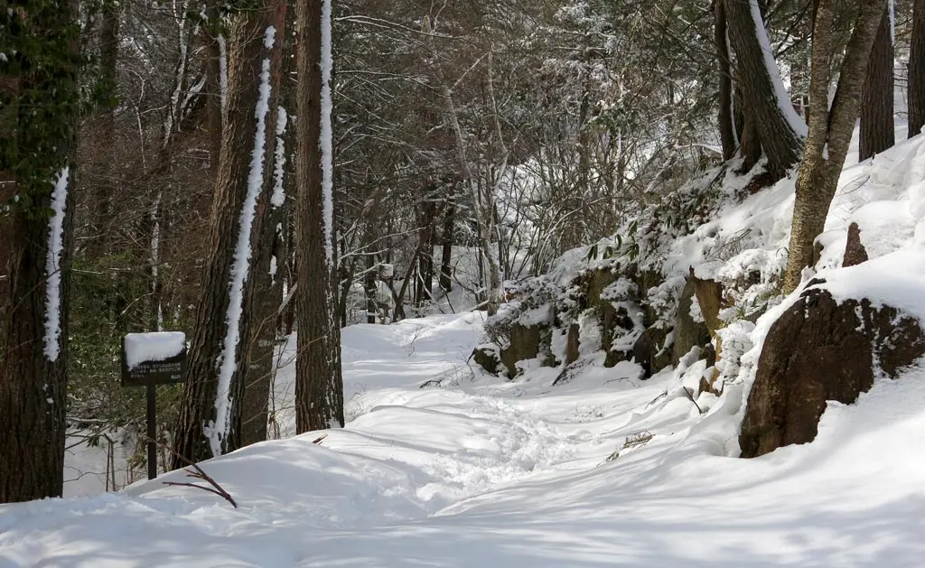
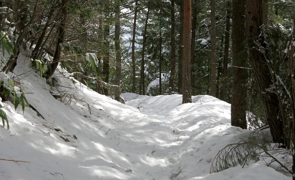
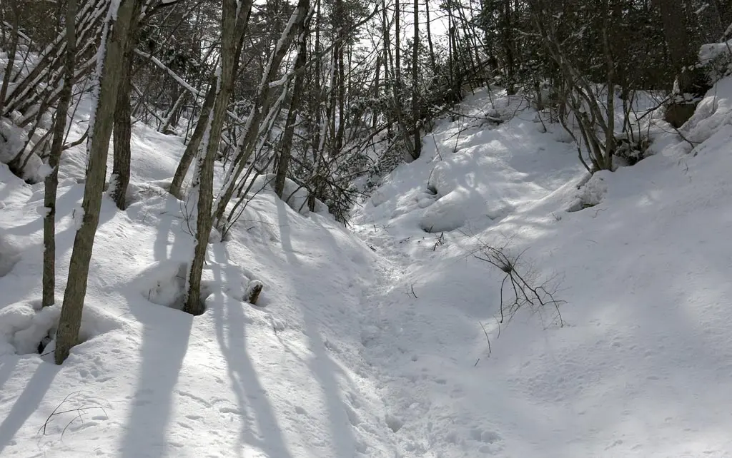
I began by following the mountain road leading up to the parking area. There was a path already laid out in the snow by previous hikers throughout the season. A clear path of foot prints had packed down the snow, and created a frozen platform able to hold my weight. Most of the time.
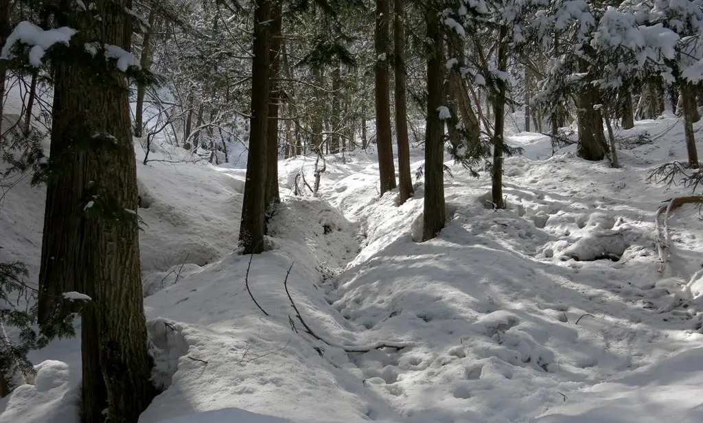
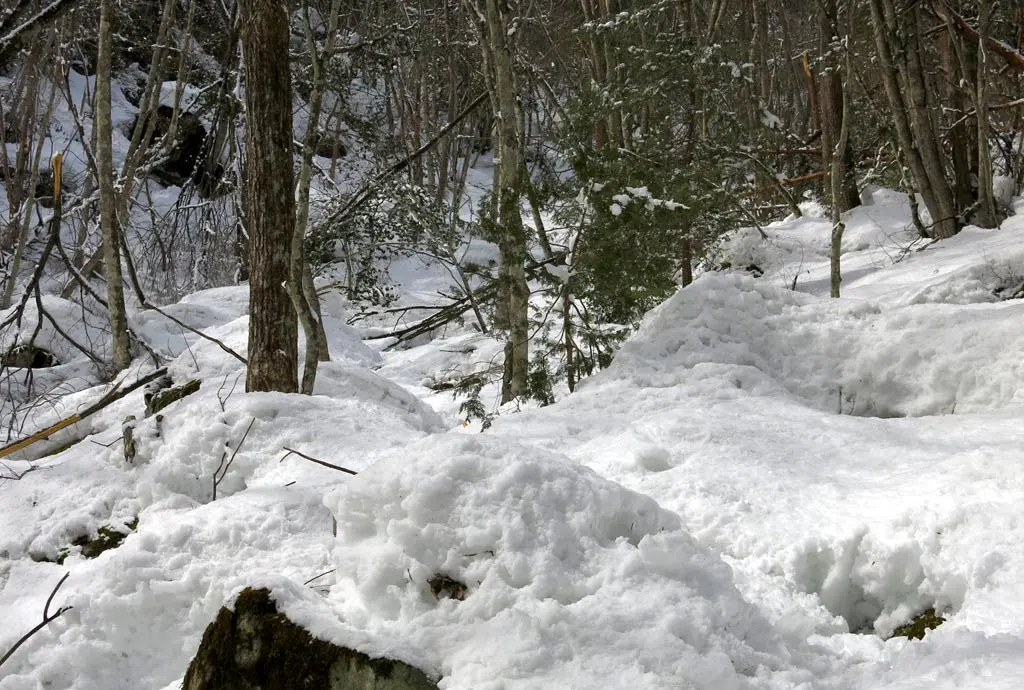
Whenever I slightly veered off the course, I would sink in the unpacked snow. Even sometimes the course itself wouldn't be able to hold my weight. It would collapse, and I would sink in the snow. Just like this:
The snow was still deep enough to sink past my knees. My typical pace would be walking, walking, walking, sink, walking, walking, walking, sink. It wasn't so bad at first. I would usually leap out of the hole while I sank, and catch my balance. But after doing this numerous times, the exercise began to wear on me. And every time I sunk in the snow was a short little break.
I took plenty of breaks taking photos, too. Also, I probably stopped every 2 or 3 minutes, to take in the beautiful snow covered scenery and snap several photos.
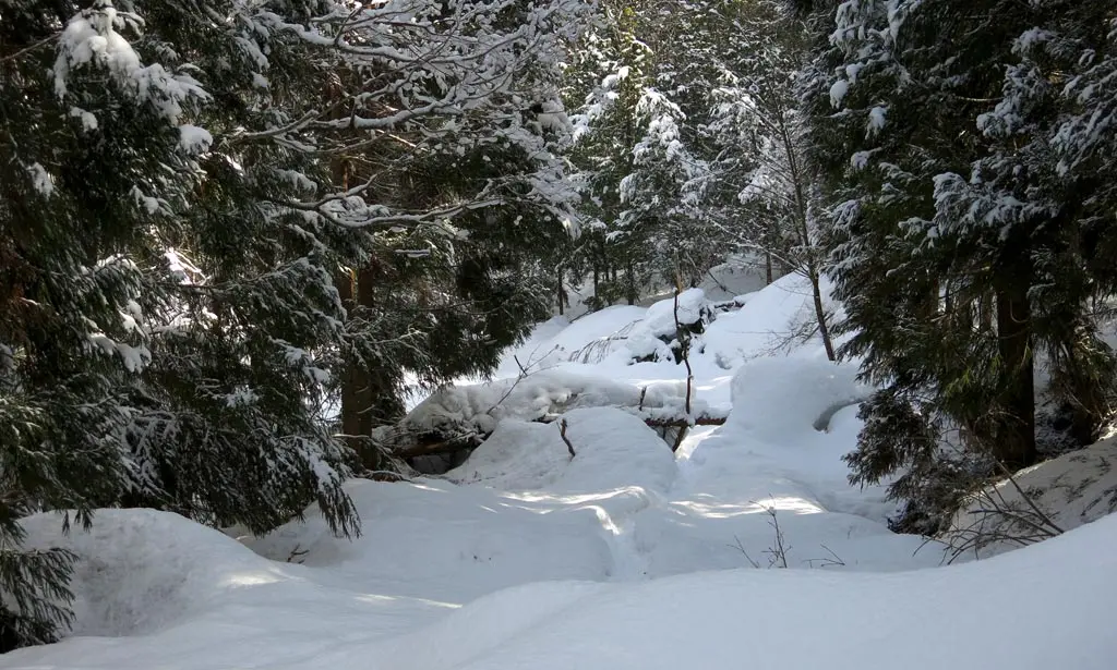
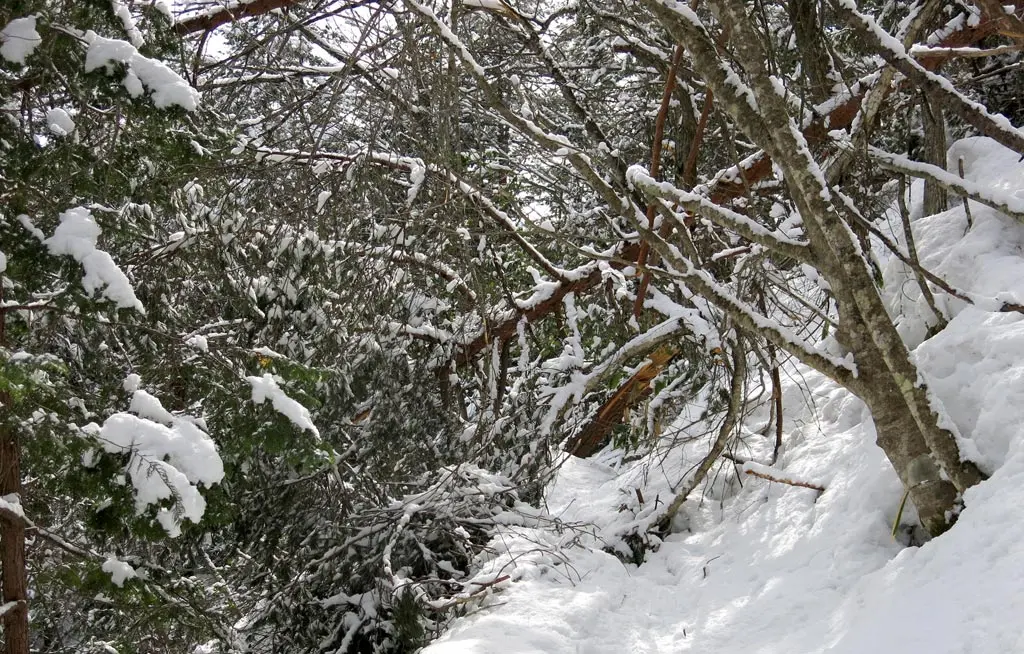
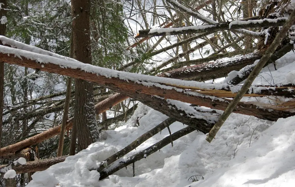
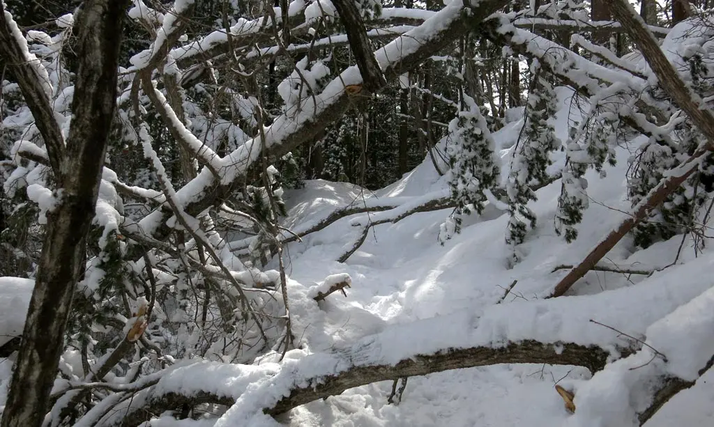
There were plenty of downed trees as well. The first couple of trees were easy to duck under, but there were several just too big to hop over, and difficult to tell if I could actually go under. It can became very clear that this hike was not a simple leisurely stroll. Several of these trees, I had to actually crawl under in order to pass.
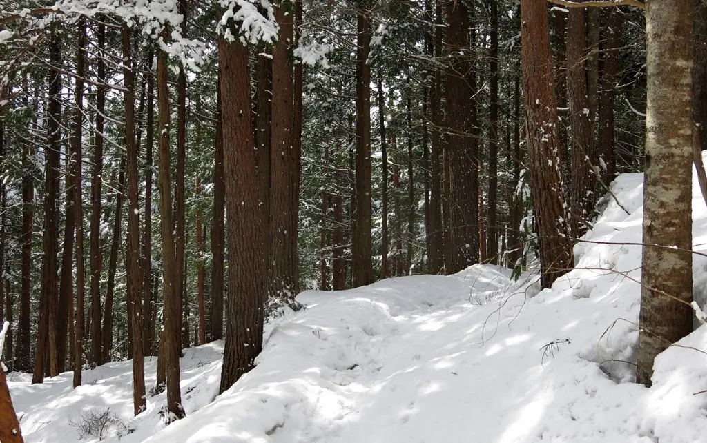
In addition to the road, there were hiking trails that went the exact same direction and several times passed the road. I was getting sick of sinking in the snow every 10 or 20 feet, so I changed paths to the hiking trails at my next opportunity. The trails had slightly less snow, and nearly all of its had been very well packed down.
But, this presented a new challenge. The snow was packed so well, and so uniform that was nothing for my shoes to grip. And the hiking trail was MUCH more vertical than the mountain road. Now, I was constantly slipping at the most modest of inclines. Towards the end of the trail as it crossed the road again, I was basically crawling my way up, and tearing through the outer edges of the ice into the snow.
Ugh, fuck that. I'm going back to the snow.
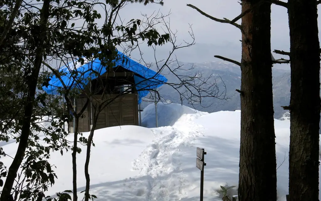
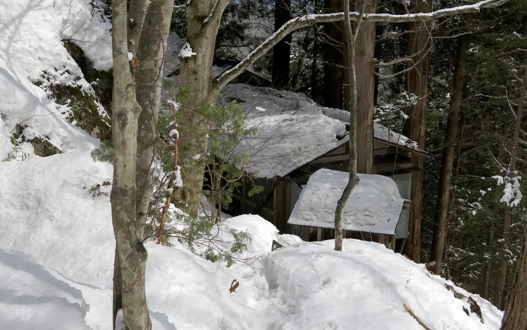
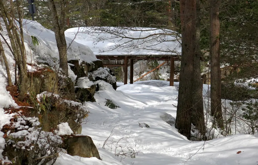
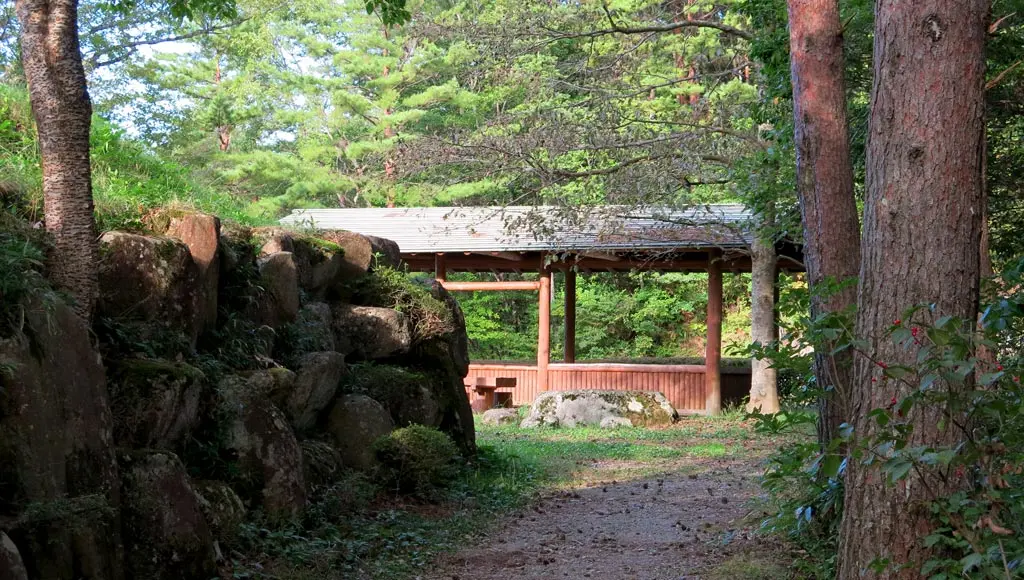
I was one leg away from reaching the parking area, and the shelter came into view.
Things got way worse. At this point, way more hikers had used the trail, so the path of the road was much more narrow and weak. Nearly every five steps, I sank into the snow, had to pull myself out, and then sink again. I was taking a break almost every minute due to exhaustion. As exhaustion continued, I became too lazy or tired to keep myself from fully falling into the snow. The snow was nice and soft. :)
But I continued, and ripped through the snow. Another hiker came into view, and heard me crunching through the snow. He basically just stood there and stared at me like I was some kind of idiot as I continually sank in the snow, and running out of breath. I said こんにちは to which I received a belated response. Then he talked with me for a little while. We had actually met before. He worked at City Hall, and we met at one of those social events they have. I didn't remember him at all.
He asked what my destination was, and I replied たぶんここです (maybe right here), but then later said I was planning on going to the summit. He had just come from the summit, and said it would probably take about 30 minutes. Yeah well, it had already taken me 40 minutes just to get here. I guessed that with the current season, maybe 50 minutes was more accurate. I mentioned I had hiked here before and knew the area, so while he may had tried to convince me to give up, he basically gave up, and wished me well.
From the parking area, there are two paths to reach the summit: the high path, and the low path, the difficult path, and the easy path. I took the low easy path. During the summer, the high path was annoying. I couldn't imagine how painful it would be now.
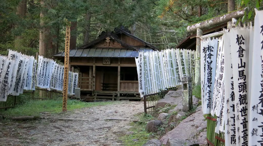
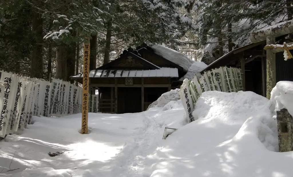
The low path leads directly to the Kannon Temple where they do the horse paintings near the end of summer. From there, it was a straight descent to the summit. The descent worried me, but covering over a kilometer on level terrain, then putting all the bullshit at the end seemed easier to tackle.
I put on my gloves, and continued forward.
There were several ups and downs, and I sank in the snow fairly often, but it wasn't that bad. It was no where near as exhausting as that last leg of the climb up.
Plenty of downed trees covered the path, so several times I had to get down on the ground at crawl through. Many times I surprised myself with just how low I was able to go.
I mean, look at the trees in the above picture. It looks totally impassable. But just take one tree at a time. Go up, go down, left, right, left, right, a, b, start. And you're fine.
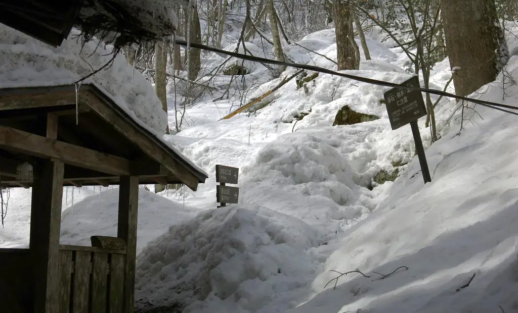
Man, this path seemed to take longer and longer. Each time I reached a bend, I thought it would be the last, but it just turned around into more trail. Several signs marked the path, and the distance continued to shrink. 800m, 550m, 300m.
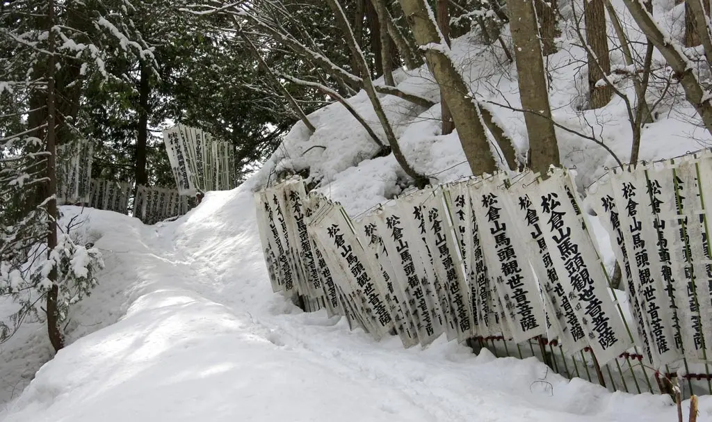
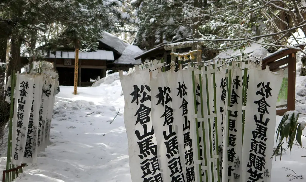
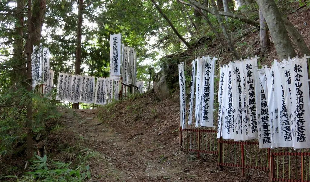
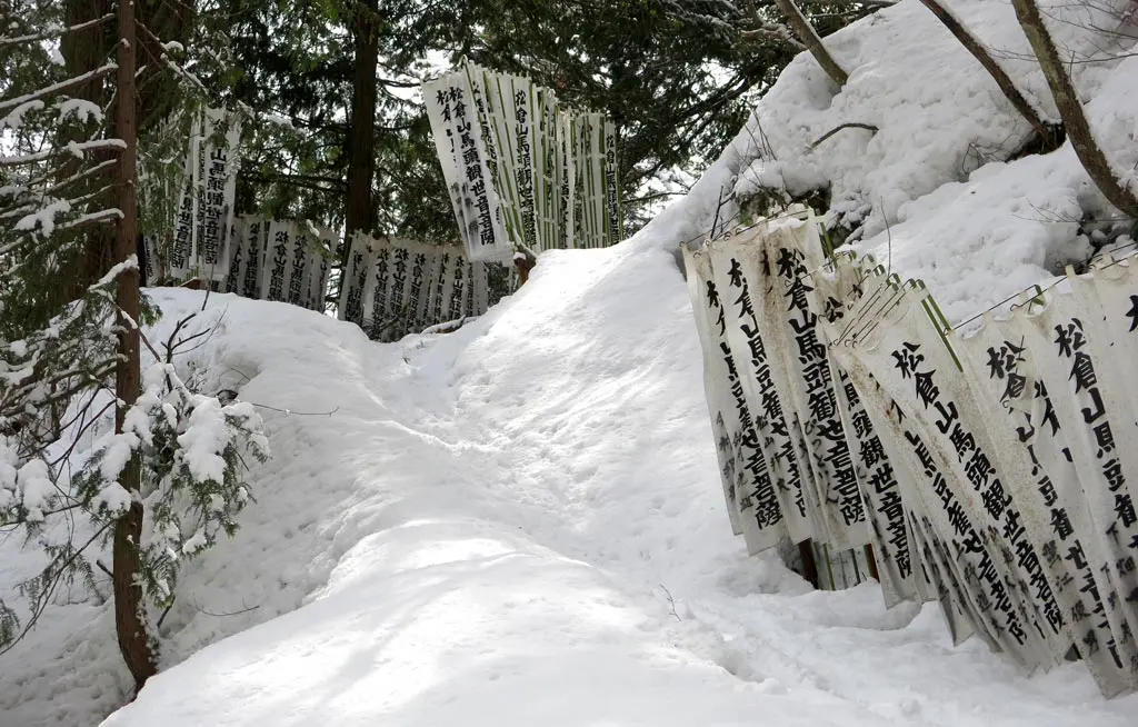
Eventually, I reached the bend I remembered, lined with Matsukura-yama 松倉山 flags.
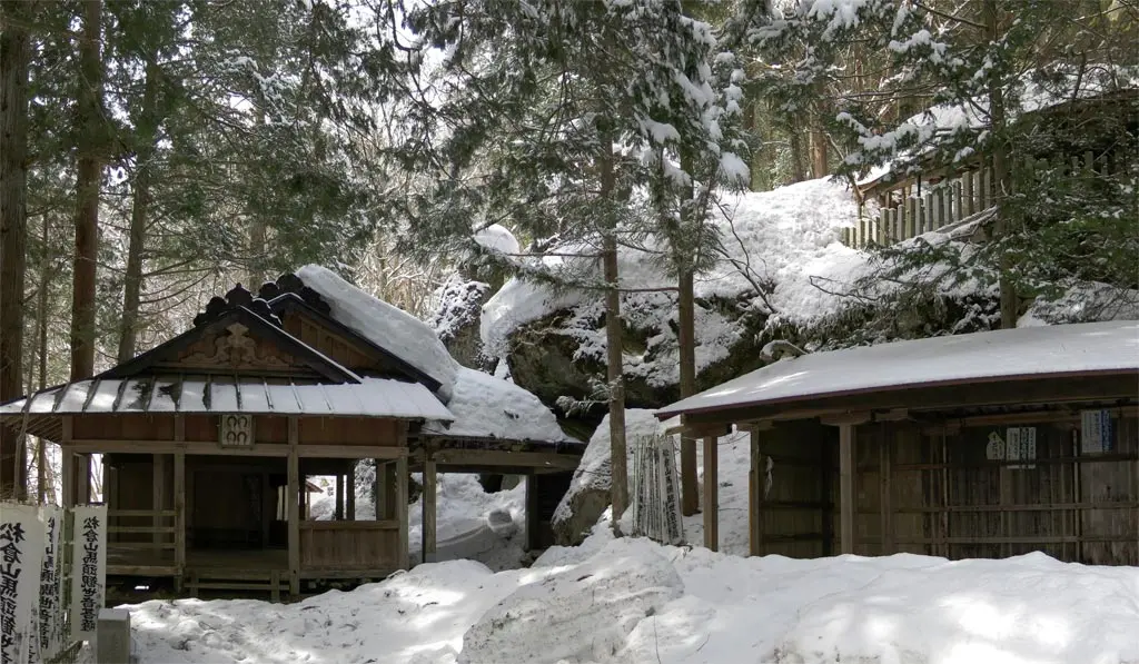
At the foot of the entrance was a running stream of water to drink from. After rehydrating, I entered the temple grounds.
This temple is devoted to the worship of the Buddhist god Kannon, also sometimes referred to Guanyin, or Guanshiyin, the god of mercy or compassion.
As mentioned the previous Harayama post, on August 9th, and 10th, an overnight festival is held here to pray for good health, good wealth, and overall good fortune for the coming year. Elders paint and create those infamous horse paintings for attendees which harness this fortune into a tangible lucky charm. I want one so BAD!
The whole place really seemed untouched since I was here last. I figured they would have taken down all the flags to protect them, but from comparing photos, it looked like nothing had been moved.
I went through the main temple building, and continued my remaining 300 meters to the summit.
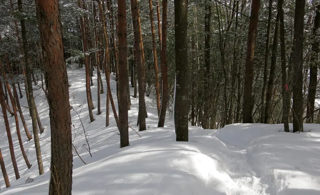
I'm not sure if you can tell from these photos, but that remaining 300 meters was at a 35, 40, and sometimes a 45 degree incline.
Underneath all the snow, this area was pretty rocky and uneven to begin with. Now on top of that was tons of snapped branches, downed trees, and 3 months of snowfall totaling more than 3 feet.
There were very few parts of the trek that were stable. This time when I sank in the snow, my single leg would sink down near my waist. And it would usually scratch against broken branches, or rock. Sinking was really no longer just a funny oopsie-daisy. It could actually damage my leg if I were moving fast into it, or if I wasn't paying attention.
This became any actual climb now. I was using my arms to stabilize my weight, and pull myself up some areas. Many times, I kicked away holes near the edges of the ice packed path to grab a foot hold.
It was pretty rough, but really energizing, and motivating. This seriously was the final push towards the summit. It was the last obstacle before the finish line. And I was making VERY visible progress. I turned around and looked at just how small the temple was.
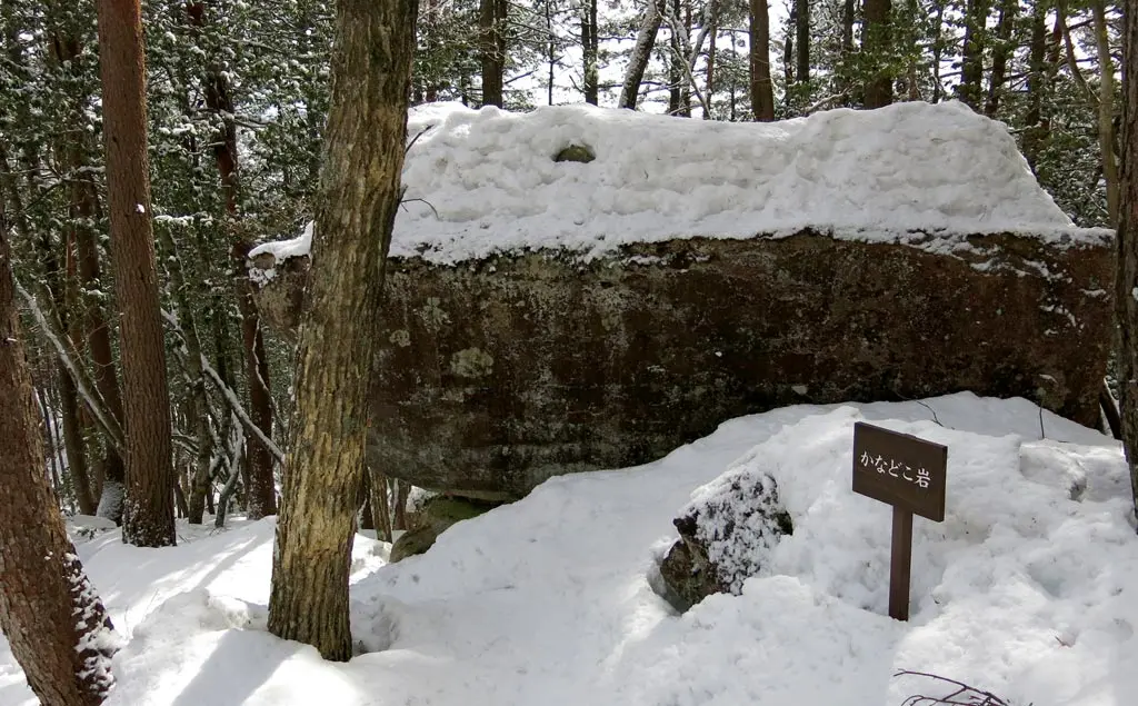
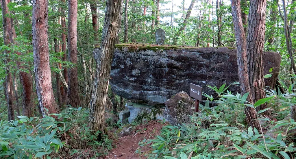
Halfway up between the temple and the summit was Anvil Rock かのどう岩 at 170 meters.
At this point, I was no longer in a valley of snow, but on an arm of the mountain. The path turned from a cache of snow into a smooth icy path. Once again, I was crawling along to make progress, rather than slipping and falling. There were plenty of trees to grab, and pull myself up, though.
70 meters later, I reached the fork where the high, difficult road reconnected with the low. And only 100 meters away, on level ground, was the summit.
Fuck you mountain, I have conquered you.
I began the journey around 10:15am, and made it to the top at exactly Noon. I was no longer shrouded by trees, so I was slightly blinded by the sun at first. It was like exiting a tunnel.
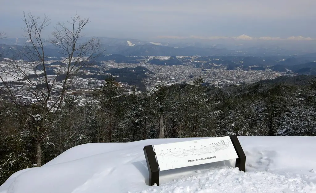
The sky was beautiful and clear, too, allowing me to view nearly everything the scene had to offer.
To the north-east was a great view of downtown Takayama. Directly north, and sitting at the bottom of the mountain was the Shingu 新宮 neighborhood, complete with Shingu Elementary 新宮小 in the middle. And to the northwest was Kiyomi village 清見村, and able to see nearly all of the Makigahora 牧ヶ洞 neighborhood.
It was a beautiful day. :D
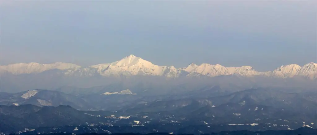
Also to the northeast was the very visible peak of Kasagadake 笠ヶ岳, and it surrounding mountains. Mt. Kasa stands at 2897 meters, but to it's right is the cluster of Hotaka mountains. Okuhotakadake 奥穂高岳 is the tallest of those, and the third tallest mountain in Japan, at 3190 meters. It sits on the border of Gifu 岐阜県 and Nagano 長野県. Here's the display for those above mountains: click!.
Back in the northeast, the tallest mountain in view was Ibuseyama 猪臥山. I climbed that mountain last year, too: September 3rd. It would be amazing to climb that mountain now, but it would be way too difficult. It's also very remote, so it's much more dangerous for me to go alone. There is a home up there, though, so maybe it's plowed.
Anyway, I took my photos, enjoyed the view, but had to begin my descent. I needed to be somewhere at 2pm, and it had already taken me 2 hours to reach my current position.
Going back down was WAY easier than the climb up. For the super slick icy parts, I could bend down and use my shoes to sled across the path. I was so close to the ground, that falling didn't matter, and I could easily control my descent breaking with my arms in the snow.
I glided past Anvil Rock. Going through the valley of snow wasn't as slick, but getting out of a sink hole was way easier going backwards. Though, I probably ruined the path with how much I was sinking.
I made it back to the temple in about 20 minutes, then continued on level ground back to the parking area.
Everything seemed to go by so much faster. Maybe it was because I wasn't stopping so often to take photos, or because the terrain was more fresh in my mind, or maybe because I just didn't care about falling, and crawling around in the snow.
I made amazing time. I was back in the parking area another 20 minutes later.
Now knowing how fast I could travel by using my shoes to sled down to the mountain, I took the trails instead of the road every chance I got. The first leg of the trail was another 40 or 45 degree slope. I sat on my feet, and zoomed straight down. Whee!
What probably took me 15 or 20 minutes to traverse earlier via the road, took me less than 5 minutes to sled down via the trail.
It was pretty fun. :) I continued sledding down the trails whenever I could. After a while, the trails began to even out. I was no longer able to sled, so I stuck with the roads, and keep on the icy path.
At last, I arrived back to my car almost an hour after I left the summit. What took me 2 hours to climb, took me only an hour to descend. Sure, I wasn't taking nearly as many pictures, and gravity was on my side, but that's still a huge gain in speed.
My gloves were completely soaked from the snow, and my inner clothes were completely soaked from sweat. I brought some extra clothes with, so I changed into something dry before leaving the area.
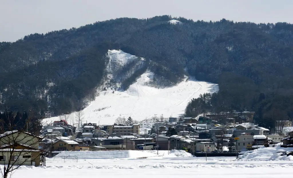
Before heading to my appointment at 2pm, I drove through the Shingu neighborhood to take a reverse photo looking at the summit.
It's really not that much to look at from below, but from the top everything looks amazing.
The summit is that open area near the top. The hill underneath also has a trail leading to the summit, but that was not the one I took. In hindsight, it may have been faster, and definitely a shorter distance, but there's no temple, or anvil rock on that path.
Of course, the reason I choose my path was to specifically compare the environments I had experienced in the summer to now. I probably should've prepared more for this, but I got a few photos pretty close. Again, those summer photos are from my post on September 20th.
Obviously, I wanted to compare the views between the two seasons, too.
| 10:10am | by car 車 | Near Hida no Sato 飛騨のさと | N36° 7' 52.7", E137° 13' 58.9" |
| 10:50am | walking 歩く | Matsukura Castle Parking 松倉城 P | N36° 7' 34.94", E137° 13' 52.43" |
| 11:30am | walking 歩く | Kannon Temple 松倉観音堂 | N36° 7' 24.26", E137° 13' 32.95" |
| 11:50am | walking 歩く | Kanodoko-iwa かのどこ岩 | |
| 12:00pm | walking 歩く | Harayama Summit 原山 峰 | N36° 7' 27.1", E137° 13' 23.32" |
| 12:20pm | walking 歩く | Kanodoko-iwa かのどこ岩 | |
| 12:30pm | walking 歩く | Kannon Temple 松倉観音堂 | N36° 7' 24.26", E137° 13' 32.95" |
| 12:50pm | walking 歩く | Matsukura Castle Parking 松倉城 P | N36° 7' 34.94", E137° 13' 52.43" |
| 1:15pm | walking 歩く | Near Hida no Sato 飛騨のさと | N36° 7' 52.7", E137° 13' 58.9" |
