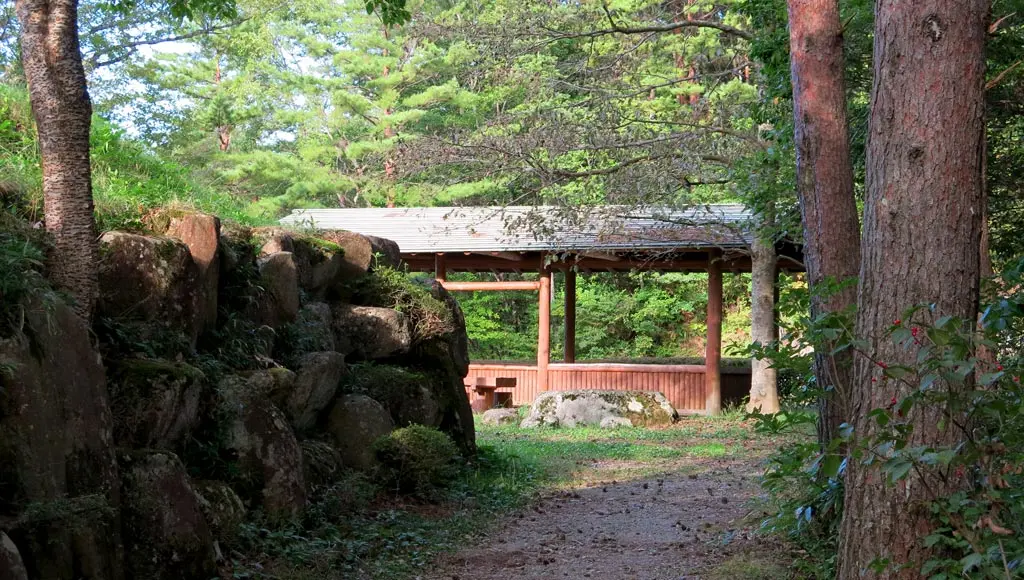
Takayama City 高山市 is known in Japan as a city that has kept its Edo period roots. The old streets and sake breweries in the heart of the city, and being completely surrounded by mountains and nature convey these old feelings. There really isn't another place like it.
Before it was created in this image, Takayama was the site of a few battles. In the 1500s, some dude named Yoritsuna seized the Hida province and built the Matsukura castle 松倉城 to defend it. Some decades later, Kanamori 金森 was ordered to attack Yoritsuna and capture Hida, who then ruled the Echizen Ono Castle 越前大野城, which you might remember as the 3rd castle on my 20 Castle Stamp Rally Card.
Kanamori battled and defeated Yoritsuna in 1585, and became the ruler of Hida. Matsukura Castle was a warrior's castle, though. It was built for battling and defending, but this is not what Kanamori and his clan wanted for Takayama. In 1588, Kanamori began construction of the Takayama Castle 高山城, and basically created Takayama in the image of a castle town. He's basically the founder of modern day Takayama, and you can find all kinds of info and artifacts about Kanamori in the Takayama Museum of History and Art. After his capture of Takayama, it basically became a peaceful place.
Matsukura Castle was abandoned, and eventually destroyed somehow. The rules of this castle (and the Takayama Castle) are still present today. Though, the Takayama Castle ruins aren't nearly as interesting.
The site of the Matsukura Castle is located near current Matsukura Junior High School 松倉中, on the southwest corner of the heart of Takayama City. This time I actually went hiking with a friend. :) After lunch, we began around 2pm.
To get to the ruins, drive up the hill past Hida no Sato 飛騨の里, and you'll find a plateau where you can park. From there, you will find a path that leads up into the forest. It takes about 10 minutes if you're driving from Takayama Station.
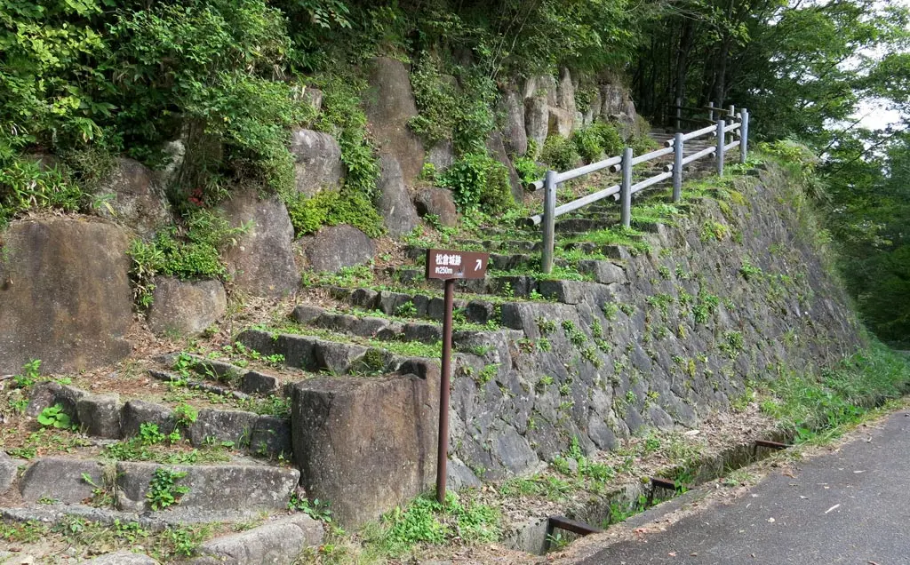
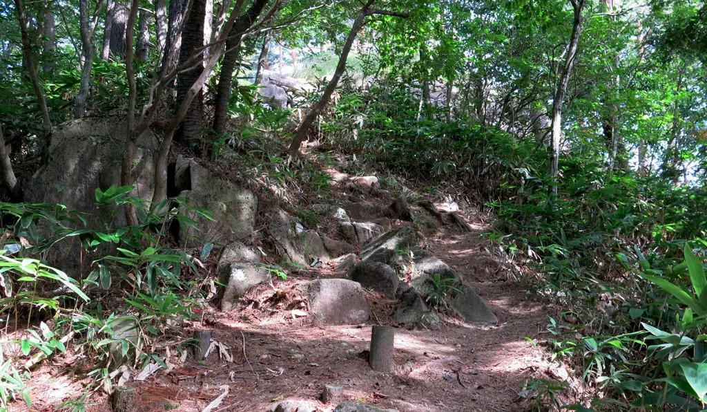
The path is only 250 meters, and it takes about 5 or 10 minutes to hike through the slightly rocky terrain. Being in such close proximity to the city allows the trails to be easily well kept, and well traveled.. There were really no traces of any large animals along the trail, either. But there were plenty of mushrooms.
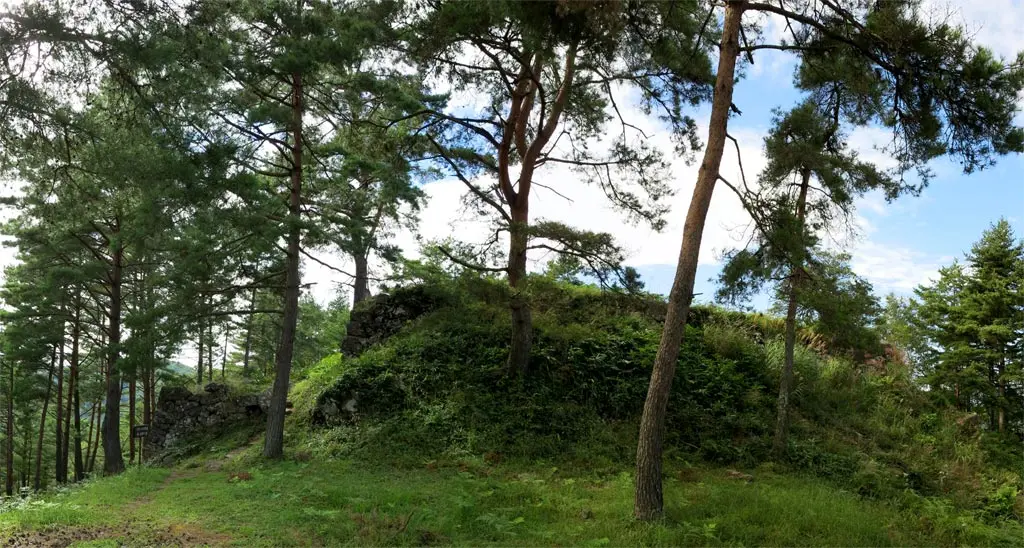
Heavier rocks are embedded in the trail as we continued, and then came across a partially collapsed edge of a castle wall.
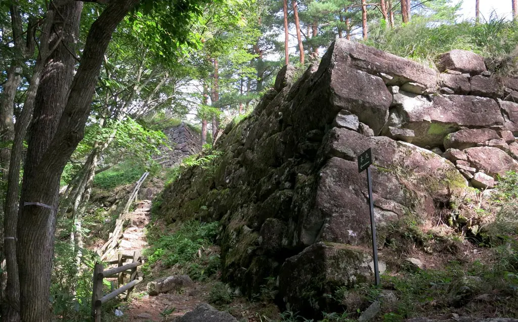
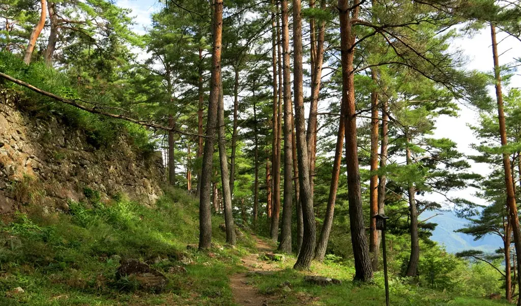
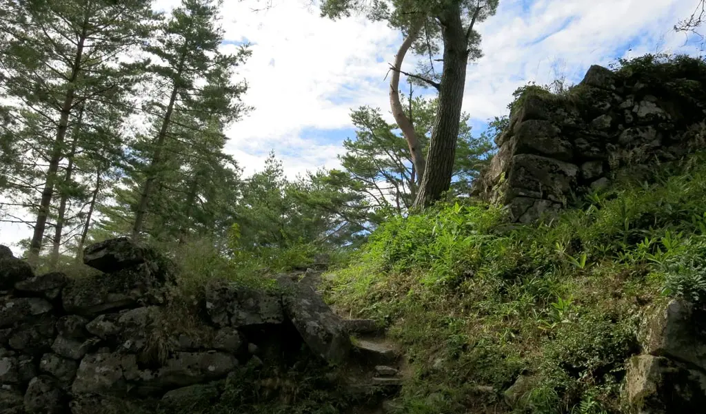
The trails leads past the wall, and around the main wall of the castle ruins. There were trees and grass, but the area was still very rocky. The trail led almost completely around the main wall of the castle, and opened to a clearing where a portion of Takayama City was visible.
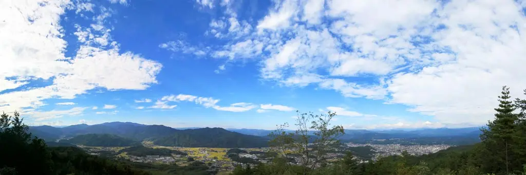
But next, was the summit. Just a few quick steps to climb, and we had a much more wide open view of lower Takayama, and the Enako neighborhood 江名子町.
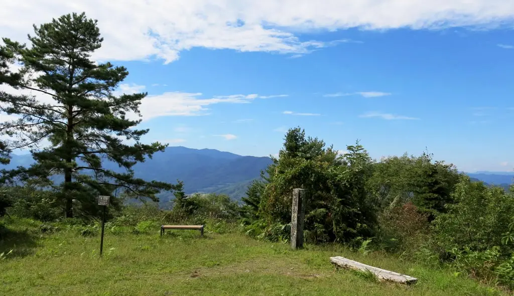
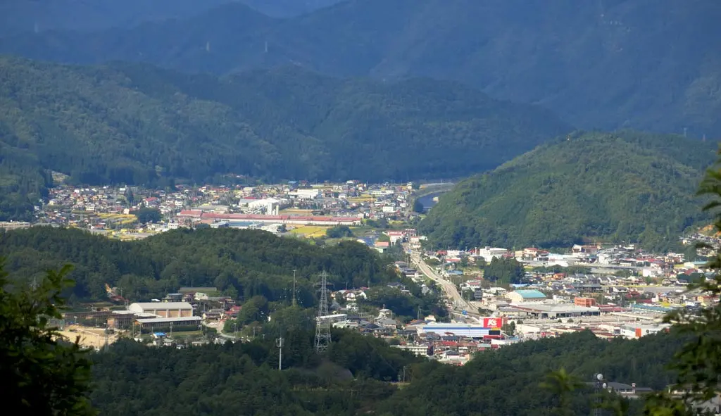
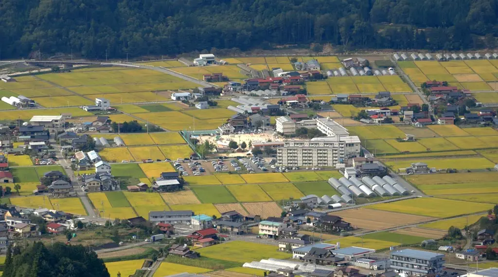
In the above photo.. On the bottom of the photo is lower Takayama, where Hie Junior High School 日枝中 and Sanno Elementary School 三王小 are prominent and clearly visible. The area above that is the Enako neighborhood 江名子町, which has Enako Elementary 江名子小. That school is probably visible in there somewhere.
Unfortunately, there are plenty of trees on this mountain which obstructed the full view of Takayama City. It was still possible to see Nakayama Junior High School 中山中, and the Mieda area in the north. Further west, you could see some of the Shingu area, but it was almost all obstructed by trees.
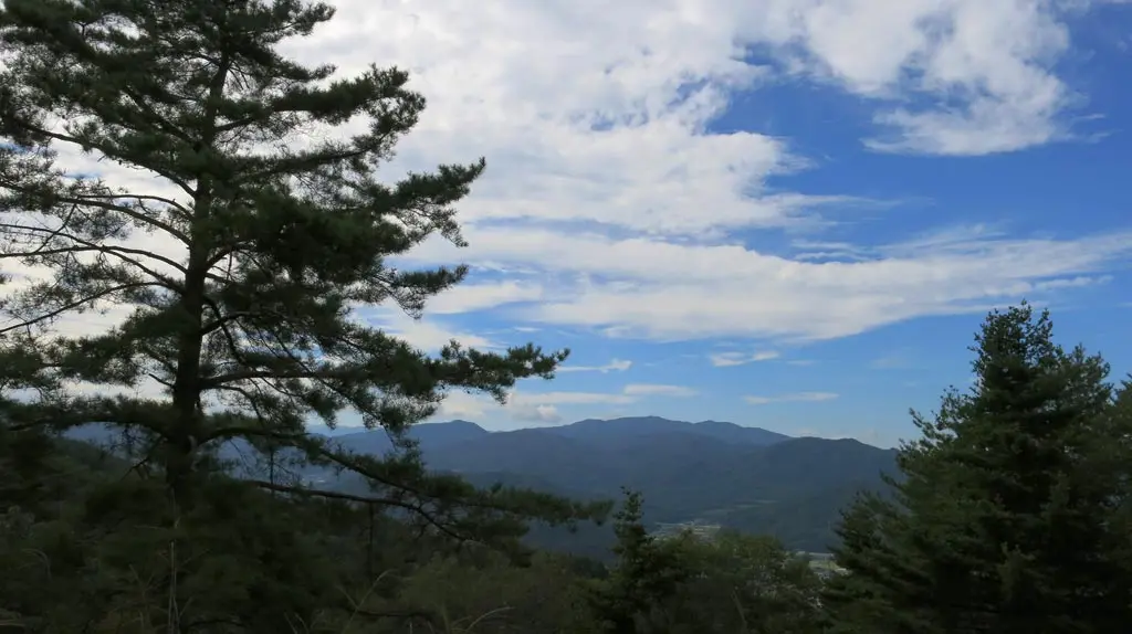
It would really help if this summit had a platform that went up another 10 meters. You could see over the trees, and completely view Takayama. Maybe they can't build one, though. I think this site is protected under some historical preservation law.
Overall, the castle ruins were interesting, but having the view obstructed kinda blows the full experience of the castle. My friend was reminded a haiku poem that mentions the history one can feel in such a place. More than 400 years ago, hundreds of warriors and soldiers lost their lives in battle defending this castle, and their souls linger and shape the life growing on this mountain.
The Matsukura Castle ruins was only the first thing on my list of things to do in this area. We went back to the parking area, got some water, and took a look at the area map.
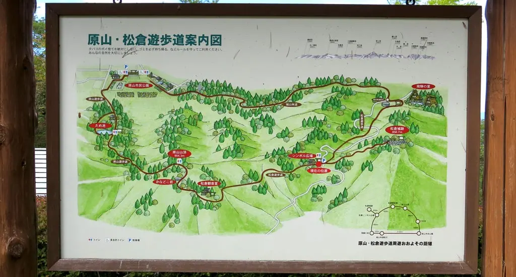
Our next destination was the summit of Harayama, or Mt. Hara, which was only another kilometer away by hiking. The whole area was a loop, but we already did most of the heavy climbing in my car.
We continued into the forest going the opposite direction of Matsukura Castle to reach the summit, and the trail was quite a bit more rough.
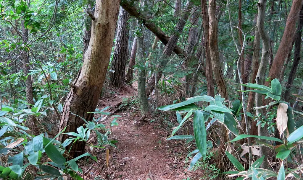
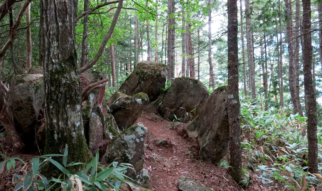
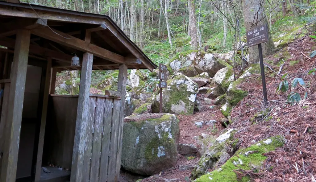
Some areas were covered with some heavy rocks erupting from the ground. Other areas slightly covered with foliage. At some point, there was even a climbing rope provided to help us walk up a 40/45 degree incline. The map indicated this was a walking path, but as my friend continued to mention, this wasn't really walking at all. It was hiking.
I took some pictures, but we continued to press on. We were supposed to come across some kind of house marked on the map, but we didn't see anything. After traveling a full kilometer we reached a fork in the road and a sign that said we reached the walking path we thought we were on. Apparently we took some kind of rough shortcut. Bleh, whatever.
100 meters ahead was the summit.
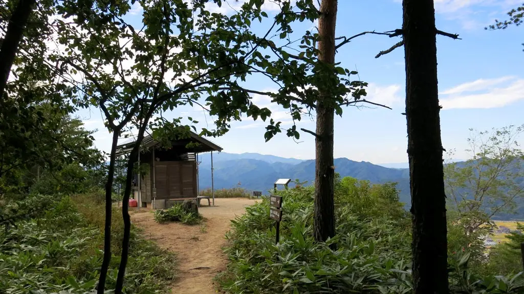
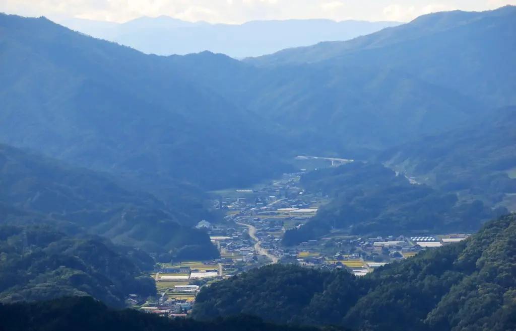
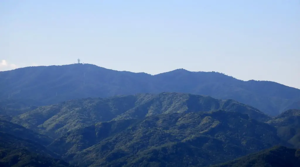
From here you could clearly see the entire Shingu neighborhood 新宮町, downtown Takayama, a little bit of Nyukawa 丹生川, and off in the west you could see one of the prominent neighborhoods in Kiyomi 清見.
You could clearly see Shingu Elementary 新宮小, which was in the middle of their Sports Festival. :D We could even hear the announcements from the summit, too. We were probably only 2 kilometers away at most.
The view was gorgeous considering the heavy clouds from the morning. This has been a running theme in the current weather of Takayama. It gets really cold at night, which brings in all these clouds, and fog. In the morning, it's overcast, and gloomy. Throughout the morning, it's still overcast, but the clouds begin to break apart with the increasing temperature. Eventually the sky opens up in mid-day. Then gets covered up again as the sun sets.
The tallest looking mountain in the whole view was Ibuseyama 猪臥山, which I visited a few weeks ago: September 3rd.
We took in the view for a while, then made our way back to the car. We took the correct suggested route on the way back, though, which was excellent for some variety.
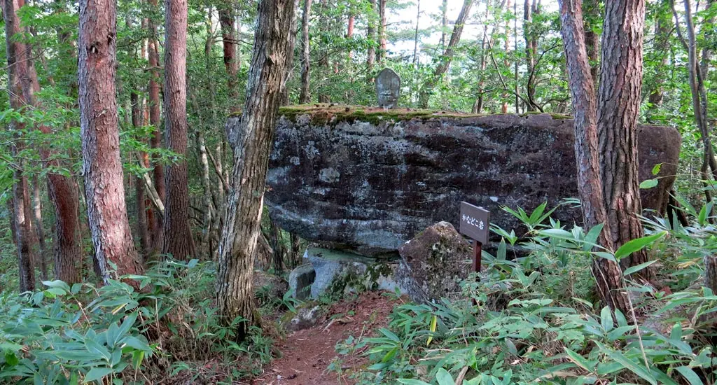
The first thing we came across was a big rock label Kanodoko-iwa. Kanodoko translates as Anvil. Iwa is a big rock. So, it's a big rock that looks like an anvil, with a little shrine on top.
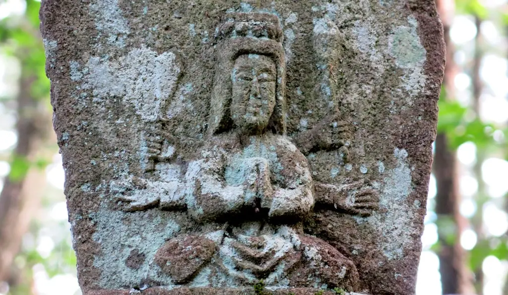
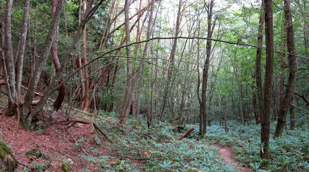
We continue through the forest. Despite being the correct "walking trail", the terrain is still rather rough and rocky. I brought up Skyrim as a conversation topic because I always think about that game when hiking through all these wooded areas. In 2 months, after it snows, it's going to start looking a lot more like Skyrim, too. :)
The woods open up a little bit, and we come across the back end of the house marked on the map.
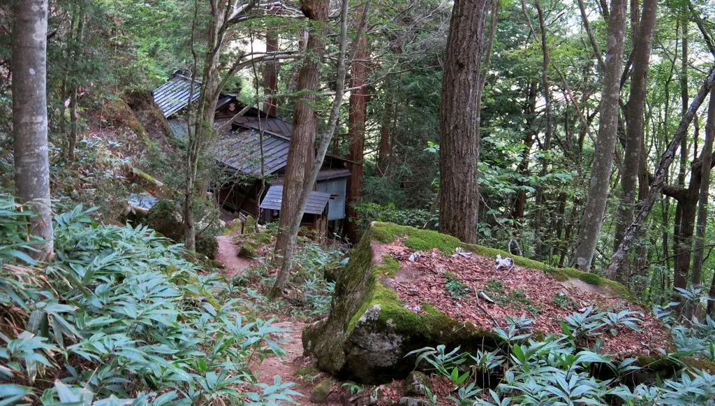
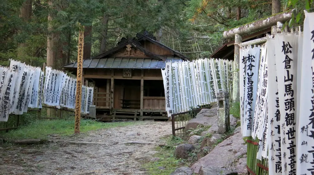
We come across the Matsukura temple devoted to the Buddhist god, Kannon or Guanyin or Guanshiyin, whatever. Apparently it's the god of mercy, or compassion. The temple is a single building with a fire pit inside, and a bathroom out back. Also inside is a large space for anyone to meet and hang out.
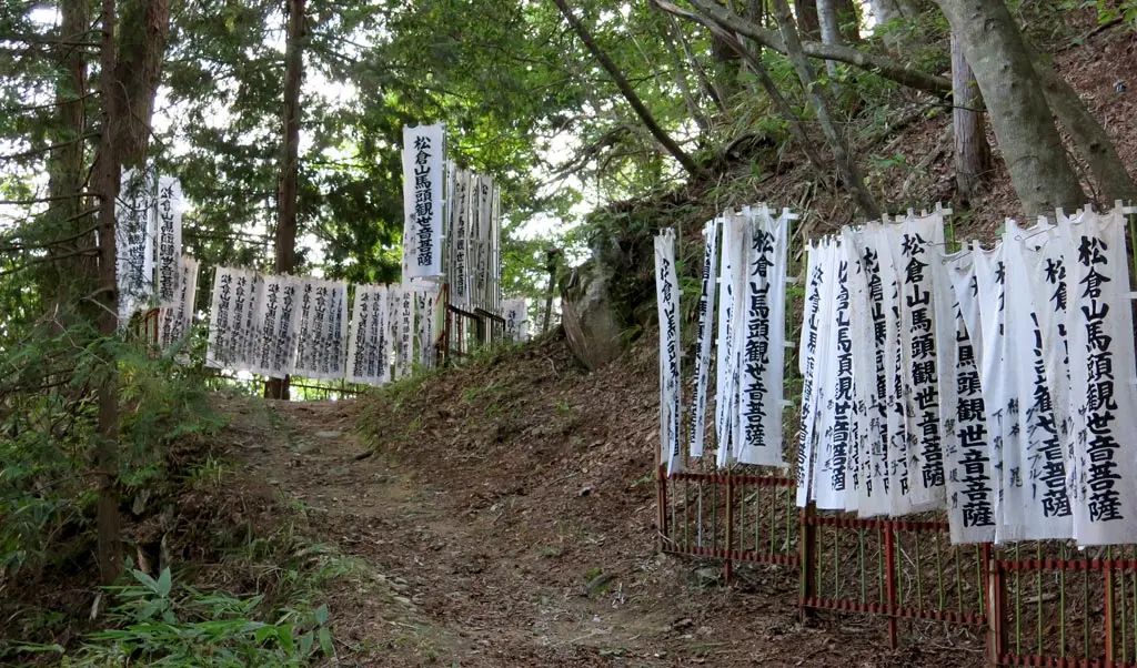
We continue to the front of the temple, and there's a another structure, a stage. The entire pathway leading to where we were is lined with hundreds of Matsukura-yama Horse 松倉山馬 something flags.
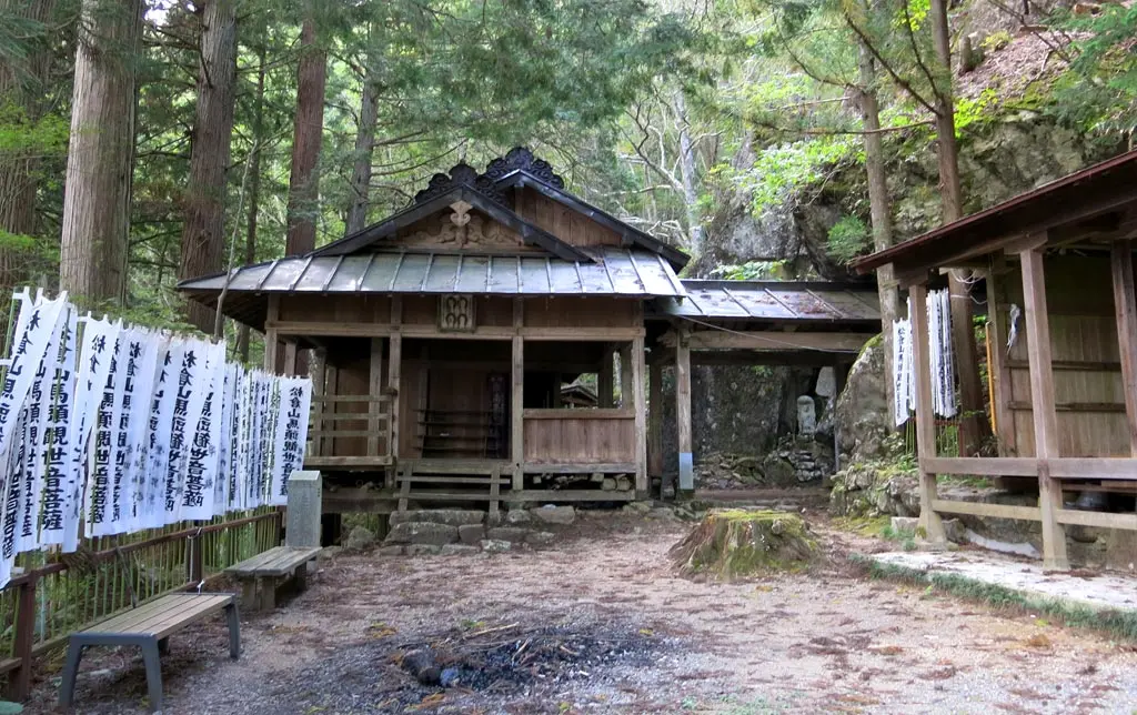
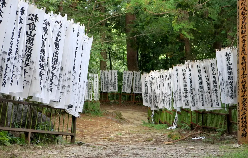
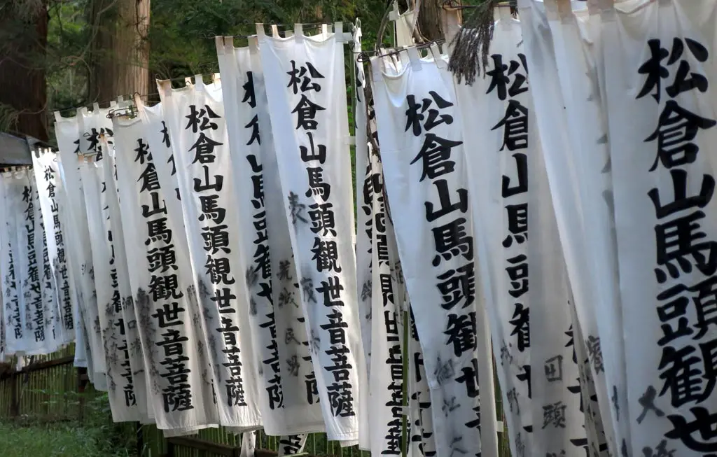
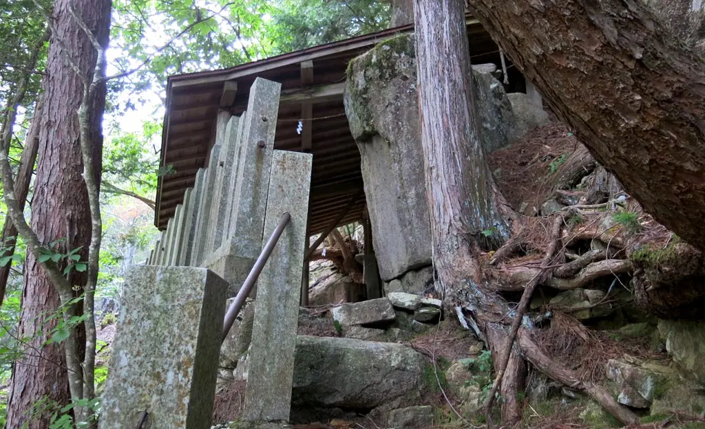
Towering above the stage and open area in front of the temple is the altar.
Speaking of Skyrim, this is exactly the kind of thing you would find when roaming through the woods. You'd come across some structure with an altar to some god, and it turns out to be a cult of weirdos, and you end of fighting them. I bet the cult of the god of compassion are pretty nice people, though.
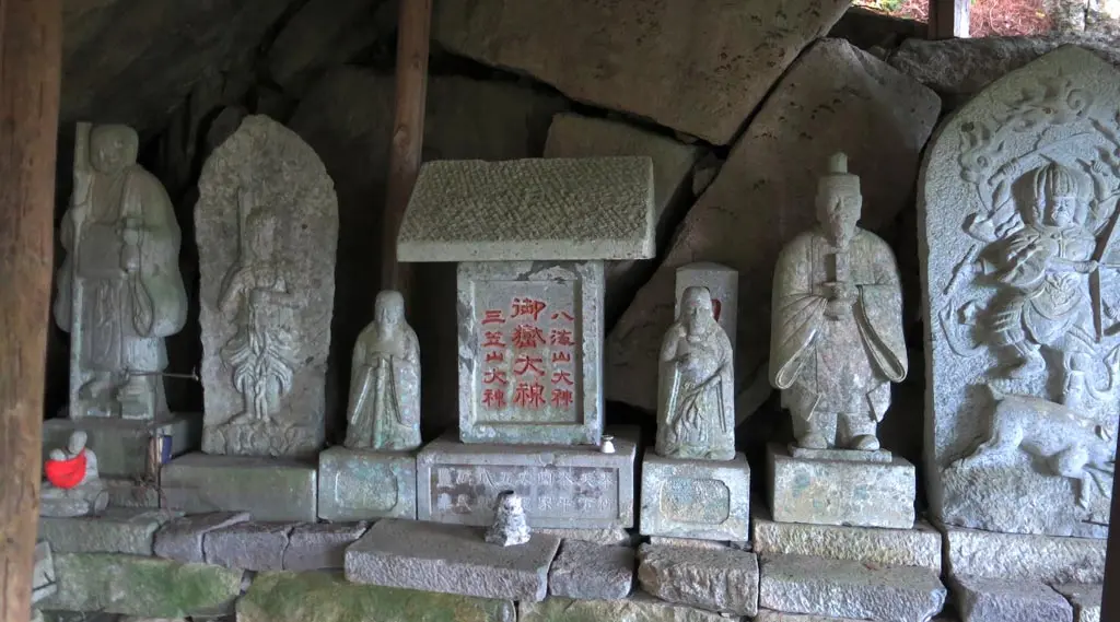
Further down the wall of flags is a sign explaining the temple, and what goes on here. Every year on August 9th and 10th, a festival is held to pray and celebrate good health and a good upcoming harvest as fall approached. Over those two days, members of the temple create those infamous Hida horse paintings for the townspeople and anyone willing to make the hike to their temple. The artists work nonstop from the 9th to the 10th creating these painting and celebrating good fortune. (Well, I know what I'm doing next summer.)
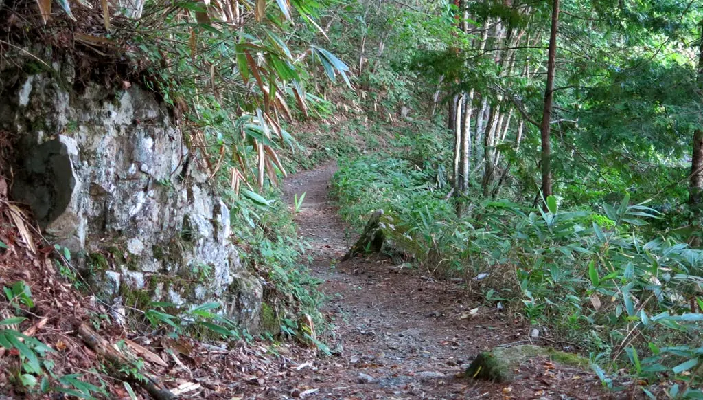
From this point on, the road is much more level. Parts of the walkway are even cobbled. It's a smooth 800 meter walk back to the car at this point. We make it back to my car very easily. :)
Another beautiful day, another beautiful mountain, another fantastic view of the city I live in.
| 2:00pm | by car 車 | Matsukura Castle Parking 松倉城 P | N36° 7' 34.94", E137° 13' 52.43" |
| 2:15pm | walking 歩く | Matsukura Castle 松倉城 | N36° 7' 34.37", E137° 14' 2.53" |
| 2:45pm | walking 歩く | Matsukura Castle Parking 松倉城 P | N36° 7' 34.94", E137° 13' 52.43" |
| 3:05pm | walking 歩く | Harayama Summit 原山 峰 | N36° 7' 27.1", E137° 13' 23.32" |
| 3:35pm | walking 歩く | Kanodoko-iwa かのどこ岩 | |
| 3:40pm | walking 歩く | Kannon Temple 松倉観音堂 | N36° 7' 24.26", E137° 13' 32.95" |
| 4:05pm | walking 歩く | Matsukura Castle Parking 松倉城 P | N36° 7' 34.94", E137° 13' 52.43" |

