Today was a beautiful September day in Takayama. There was a little rain over night, but the weather completely cleared up, and today had completely blue skies all day. Throughout the summer, there have been many rainy days. Nice weather like this only happens for a few hours at a time. Not for an entire day.
The staff at one of my school's recommended that I hike a nearby mountain named Juunigatake 十二ヶ岳 located in the village of Nyukawa 丹生川 which is within the borders of Takayama City. Juunigatake literally translates as Mt. 12.
After a little Internet searching, I found out how to get there, and took off.
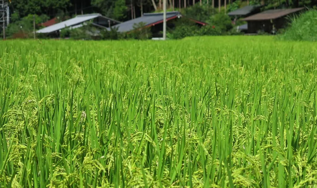
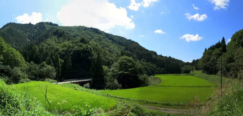
Google Maps had brought me to a small pocket of farms in the Gonbo 根肩 neighborhood of Nyukawa at N36° 10' 34.68", E137° 22' 37.14". Between a few fields of rice was a road that led up into the mountains. At the entrance to the road was a temple, and several signs that warned about forest fires. Also, near the entrance were some sandbags left over from the flash flooding that occurred a few weeks ago.
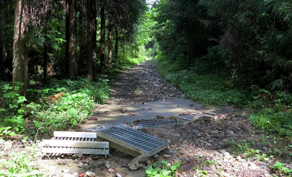
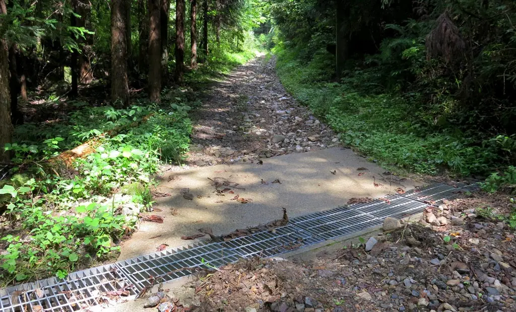
I started to climb the trail with my car, but the road was incredibly damaged by the flood. Narrow mountain roads make excellent canals for running flood water. I'm sure that was a decent dirt trail before, but all the loose dirt had been washed away leaving rocks, and some remaining mud. Some storm drains had been knocked out of their positions, so I fixed it, and continued.
In my mind, I kept thinking that I should turn around. One of my car tires will get stuck, or my car will bottom-out, or one of these rocks will puncture my tire. This is actually dangerous. Sense and reason finally prevailed. I turned my car around, exited the trail, parked, and began walking up the road.
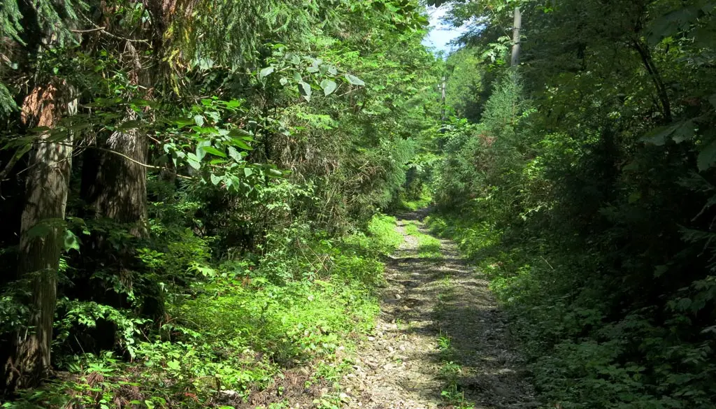
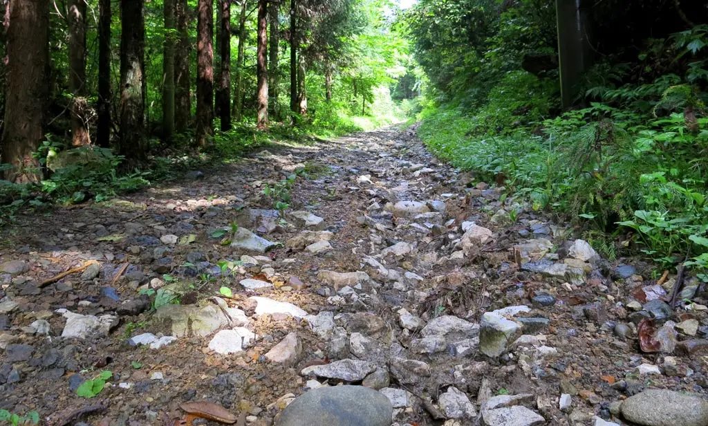
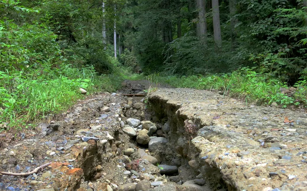
My car did not make it very far, and it was very sobering to continue this trail on foot and see just how doomed this journey would have been. One stretch of road was half-collapsed with a fissure splitting it in two. Nearby rock slides had washed out part of the road, too. It was totally impassable by car.
After almost a kilometer hike up the steep trail, the forest began to open up, and grass had began to creep into the trail. The blue sky was overhead, and I came across a couple of buildings.
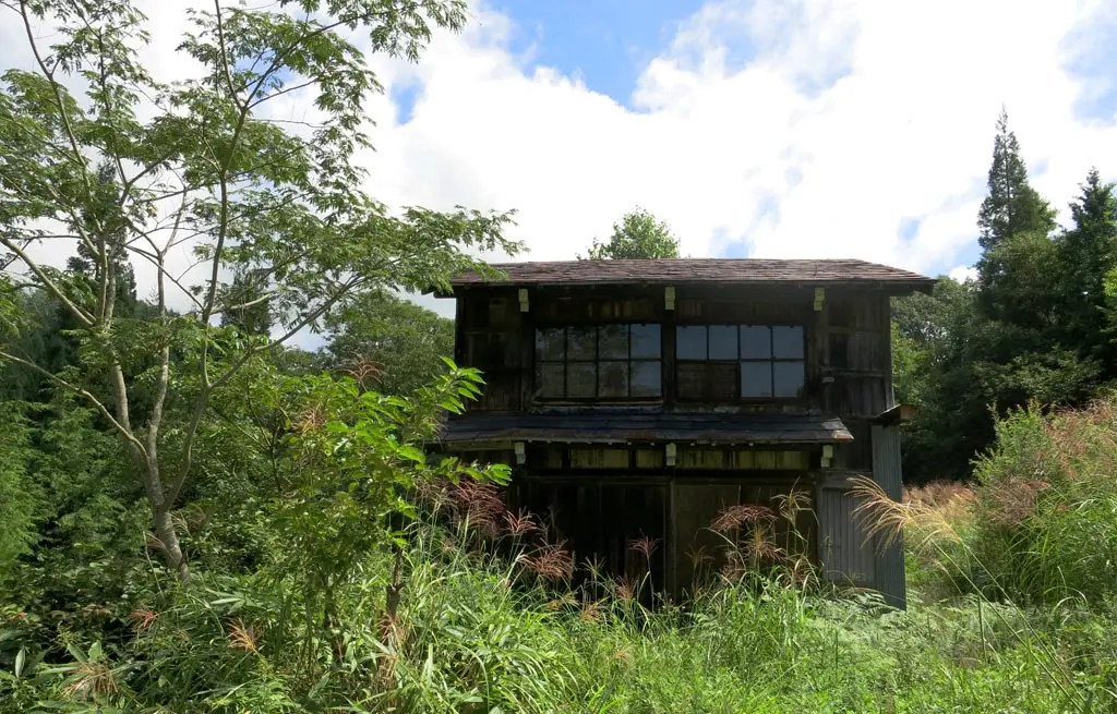
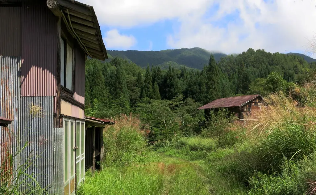
The road forked to the left which had two old homes. There are here: N36° 10' 49.89", E137° 22' 29.72". Abandoned, and left to rot. The doors were locked tight, and the windows were boarded. One of homes had some old tools underneath part of the roof, but nothing seemed like it had any normal use. I did not pry.
A few more meters down this road led to the back of someone's farm. There were some vegetable fields, and plenty of rice fields too. I could see the owner near his house, too. He was trimming weeds near his home. I guess he must own these rundown homes. Or at least, perhaps, he's the current property owner.
What I found VERY curious was I could clear see modern vehicles parked at his house. One of which was another small kei car like mine. How the hell did he get those up here?
Well, after going back to the fork in the road, and continuing, I came across pavement. Apparently this washed up, damaged road was not the correct way to get to my mountain, and I'm an idiot. I reexamined my map, then went back to my car to meet this road on the other side.
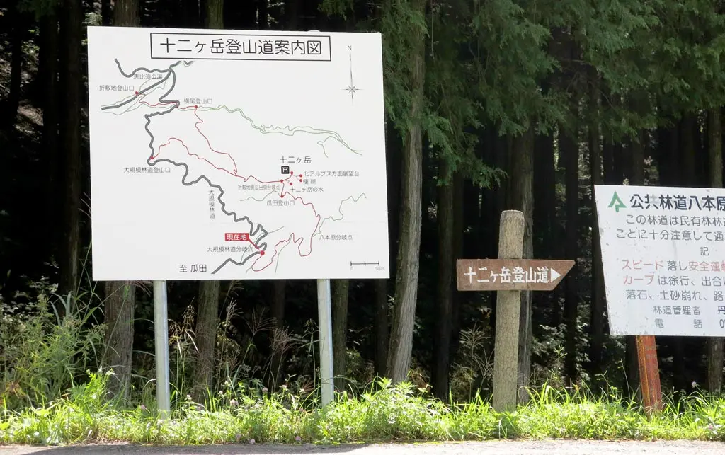
Hey, look at that. After driving the correct way into the mountain, there's an actual sign and a map detailing where I'm supposed to go. This looks like the right place. N36° 11' 7.82", E137° 22' 46.76".
Unfortunately the pavement did not last long. But the road was not washed out or damaged by the flood, so my car could continue. The view was mostly obscured by brush, but it was an easy drive.
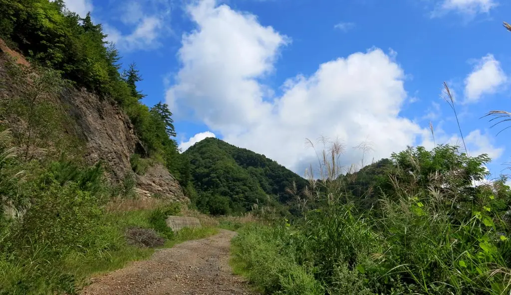
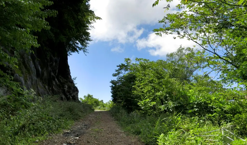
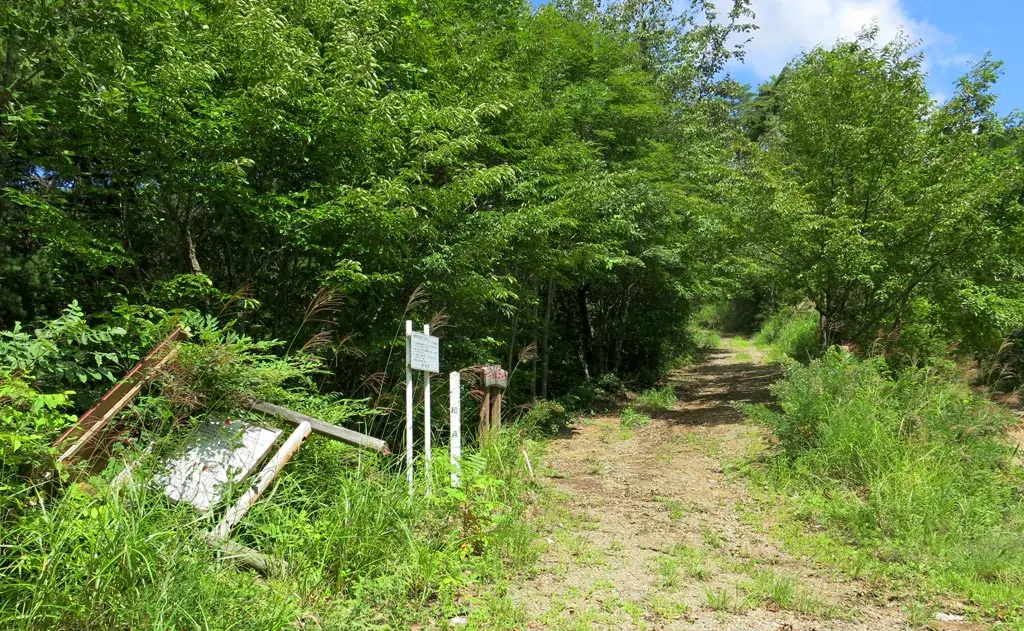
I came to the first fork in the road at N36° 11' 14.39", E137° 23' 23.08", and the main sign for the trail had been split from its posts by the wind. I doubled checked the map to make sure I was going the right way. I had been, so I continued.
Now, the road had been getting a little more difficult. Some rocks had fallen in the roads. I stopped a few times to clear some of the larger ones out of the way to make sure my car wouldn't be damaged.
There were many times when the surrounding grass had grown so wildly, it completely engulfed my car as I passed through it. As some points, it began growing in the middle of the road as well.
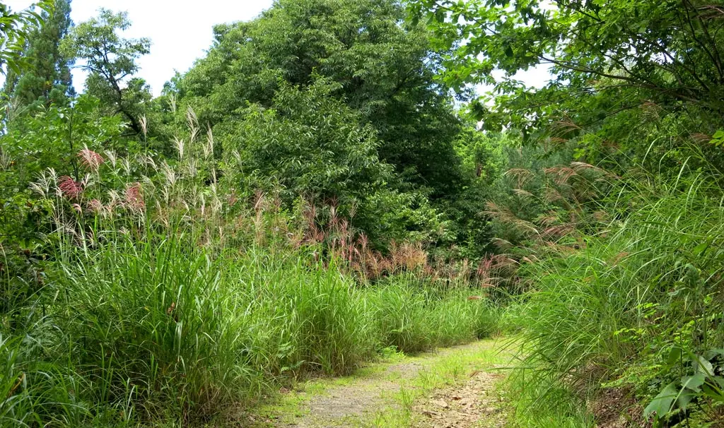
At one point, the side of the road opened up, and I got a glimpse of what the view would be from the summit.
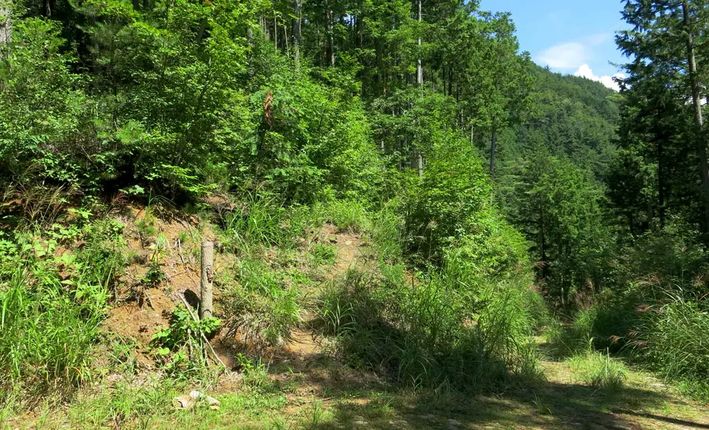
The road continued through some overgrown grassy areas. I double checked the map, and found the next way point, which was no longer marked by a sign. I parked my car, and had to continue the trail on foot. I was here: N36° 11' 38.25", E137° 23' 4.16".
And the climb was steep. Luckily, further on was better marked, so I knew I was on the right track. I continued the climb, and made it to the summit at N36° 11' 49.74", E137° 23' 11.66".
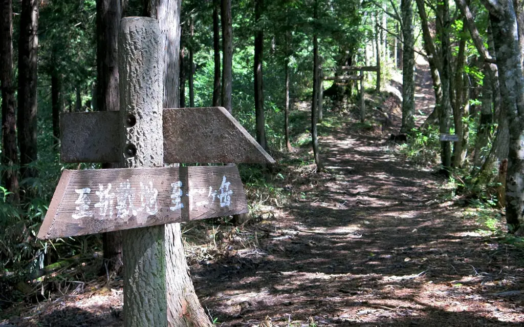
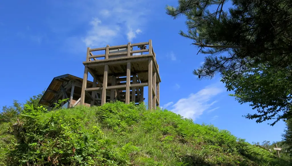
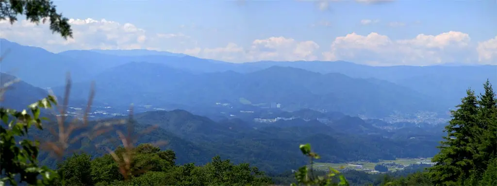
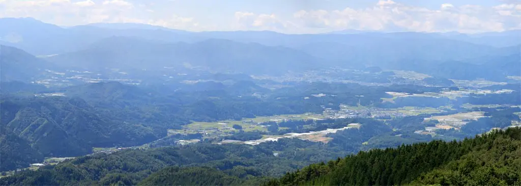
From the summit, you could see the downtown area of Nyukawa village 丹生川, parts of Takayama City 高山市, Kuguno 久々野, Miya 宮, and Furukawa 古川, too. Really, you could see almost all the western area of Takayama, and some of Hida City, but those were the only towns and villages with visible buildings. Off in the distance, was Hakusan 白山, a towering mountain in the Ishikawa prefecture 石川県.
There were clouds in the sky, but it was still clear enough to see almost everything the view offered.
The summit of the mountain had 3 structures. First, was the platform that offered this enormous view of Nyukawa, etc. There was also a shelter where hikers from a long time ago were able to stay over the night before returning to civilization the next day.
There's also a sundial, which accurately told the time when I was there. 12pm Noon. In fact, when I arrived at the summit, I could hear the Noon o'clock chimes ring through Nyukawa village.
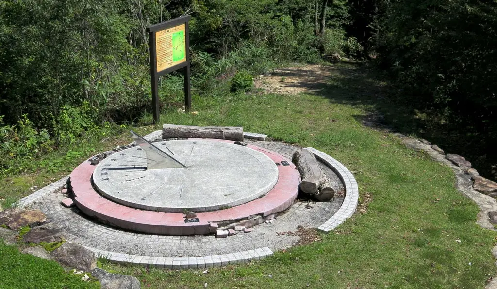
Near the sundial is a sign which says the following:
十二ヶ岳は、今では極めて見ることの少なくなった天然ブナ林が東側一帯に残されており、直接目で見て触れながら、自然林の美しさ感じることのできる山です。また、山頂からは丹生川町なだが一望でき四季折々の味わい深い景色をたっぷり楽しめます。
Junnigatake is a mountain where you can view and feel the beauty of the virgin forests, but also observe the diminishing natural beech ブナ forests in the east. Also, from the summit, you can enjoy an unbroken view of Nyukawa village and the vast meaningful landscape from season to season.
「十二ヶ岳」の名前の由来は、高山市丹生川町折敷地、大萱、瓜田、板殿にまたがって、山襞(やまひだ)が十二あるからといわれています。また異説としては、この山頂から、十二の山々が望めるところから十二ヶ岳と名付けられたともいわれています。
The origin of the name "Juunigatake" is from the natural folds in the side of the mountain, of which there were 12. Nyukawa village has several natural materials such as lacquered earth, grass for thatching, melon patches, planks for palaces. Also, another opinion states that because you are able to view 12 mountains from the summit it was called Juunigatake.
十二の山とは、①乗鞍岳から時計回りに、②御嶽山、③白山、④薬師岳、⑤黒部五郎岳、⑥笠ヶ岳、⑦槍ヶ岳、⑧北穂高岳、⑨奥穂高岳、⑩西穂高岳、⑪前穂高岳、⑫焼岳の山であると考えられています。
The twelve mountains are, in clockwise order starting at (1) Norikura-dake 乗鞍岳 in the east, (2) Ontake-yama 御嶽山 to the south, (3) Hakusan 白山 to the west, (4) Yakushi-dake 薬師岳 in the north, then (5) Kurobegorou-dake 黒部五郎岳, (6) Kasaga-dake 笠ヶ岳, (7) Yariga-dake 槍ヶ岳, (8) North Hodaka-dake 北穂高岳, (9) Oku Hodaka-dake 奥穂高岳, (10) West Hodaka-dake 西穂高岳, (11) Mae Hodaka-dake 前穂高岳, and (12) Yake-dake 焼岳.
なお、この説をもとに、ここの日時計にはこれらの山の岩石を標本として、それぞれの山の方角に埋め込んであります。
Furthermore, to explain this origin, rocks have been placed on this sundial as an example of the direction to these mountains.
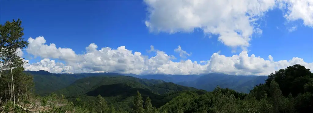
From the summit, only Hakusan 白山 was visible, but continuing forward past the summit led to another vantage point where you could see the Northern Alps and the rest of the surrounding mountains. This point: N36° 11' 48.31", E137° 23' 16.48".
Some pockets of humanity lived within these mountains, but none of it was visible from this view. I could not see any buildings, or ski hills, or roads, or power lines. It was all mostly untouched natural wilderness that has existed before any of us were born.
This is where some of the tallest mountains in Japan stand. Unfortunately, all the clouds in the east covered the mountains, so they weren't visible.
After 40 minutes of admiring the view, I began walking back to my car, and back to civilization. I got in my car, and went back the way I came, since the way forward was an eventual dead end.
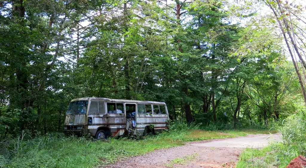
Near the entrance of the road to the mountain summit, was a rundown tour bus.
After leaving the mountain road, I continued north to view some of the country-side I witnessed from the summit. There were many pockets of farms within the forests, and valleys.
I found a complex called the Roose Farms ロッセ農場, which is apparently some kind of corporate farm. The gates were open, but I didn't pry all that much. It was Sunday, so there wasn't anyone working. There were pigs, chickens, and other animals. Plus several enclosed fields for vegetables. I simply bought a drink from the vending machine and left.
I continued to the structure most visible in the north, the Nyukawa Dam, at N36° 13' 4.21", E137° 22' 12.54". I could clearly see parts of the dam from the summit, so I wanted to be able to see the summit from the dam.
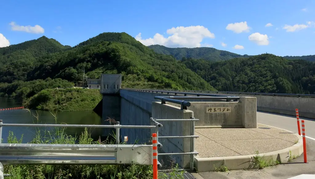
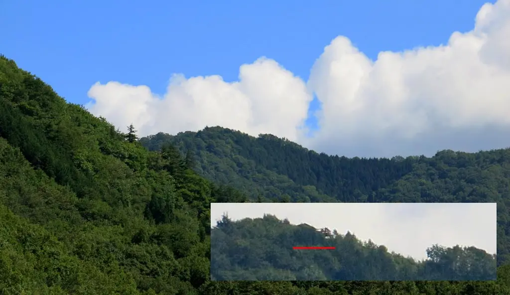
I could not see the summit on my own. I took several photos of where I thought it might be, then was able to find it later when going through photos. Even then, it's still incredibly obscured.
But there you have it. Another beautiful mountain in the Hida Takayama area. Not that difficult to get to, and not that difficult to climb. It was probably much more of a tourist area years ago, as much of it is rundown or falling apart.
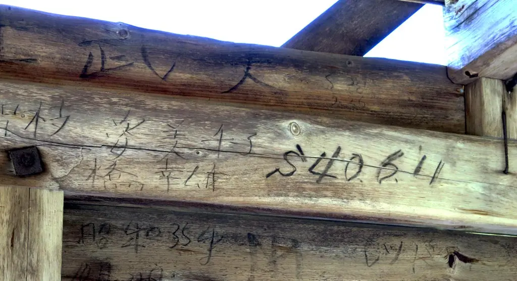
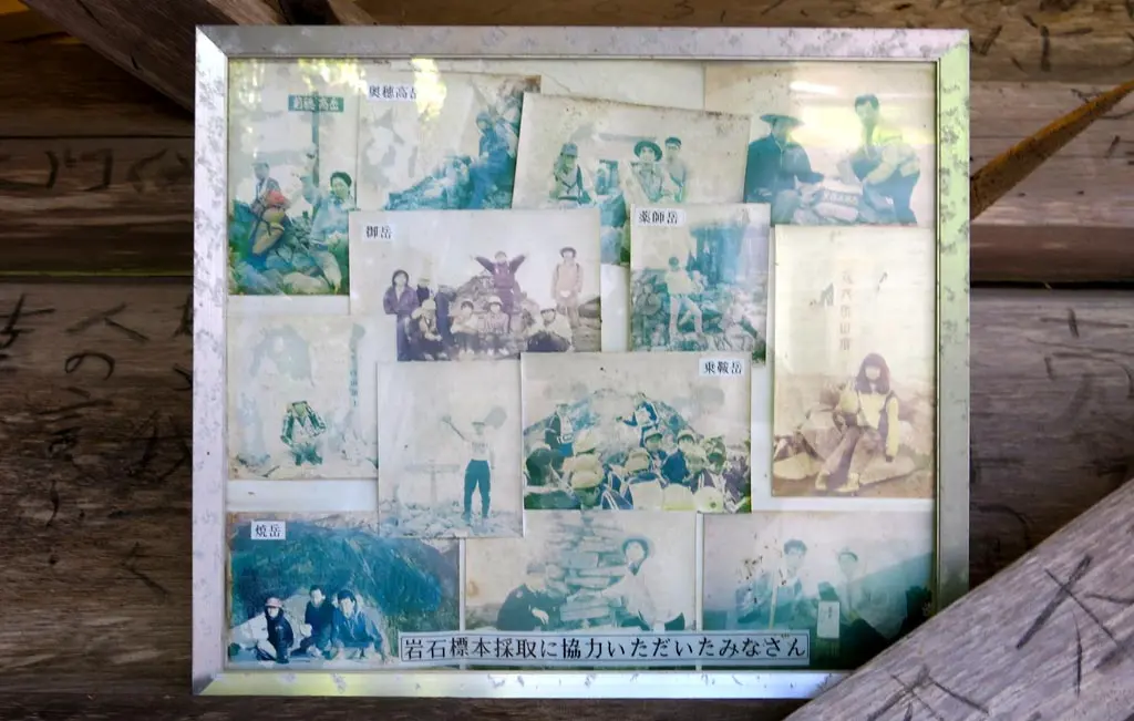
The craziest thing to me was seeing all the names etched in the summit shelter which dates going back to the 70s and 60s. Those people are probably some of the elderly citizens walking around town today. The shelter also had a photo collage of some hiking team that had been to many other mountains.
These days it's not that difficult to make it to the tops of these mountains. Cars are more powerful. Roads are better made. And in some cases, ropeways have been built to bring people to the top. But I'm sure there are still some hiking teams that travel around and climb more difficult mountains. I'll work my way up there eventually.
| 10:20am | by car 車 | Nyuukawa Gonbo 丹生川根方 | N36° 10' 34.68", E137° 22' 37.14" |
| 10:35am | by walking 歩く | Farm Houses | N36° 10' 49.89", E137° 22' 29.72" |
| 10:55am | by walking 歩く | Back to my Car 車に帰り | N36° 10' 34.68", E137° 22' 37.14" |
| 11:05am | by car 車 | Juunigatake Entrance 十二ヶ岳入口 | N36° 11' 7.82", E137° 22' 46.76" |
| 11:15am | by car 車 | Juunigatake Trail Entrance 十二ヶ岳登山口 | N36° 11' 14.39", E137° 23' 23.08" |
| 11:35am | by car 車 | Trail Entrance 歩き登山口 | N36° 11' 38.25", E137° 23' 4.16" |
| 11:45am | by walking 歩く | Fork, and Tori Gate 鳥居 | N36° 11' 47.22", E137° 23' 5.56" |
| 11:50am | by walking 歩く | Summit 十二ヶ岳 峰 | N36° 11' 49.74", E137° 23' 11.66" |
| 12:15pm | by walking 歩く | Eastern Summit 十二ヶ岳 東峰 | N36° 11' 48.31", E137° 23' 16.48" |
| 12:25pm | by walking 歩く | Outhouse | |
| 12:30pm | by walking 歩く | Water Well | |
| 12:45pm | by walking 歩く | Trail Entrance 歩き登山口 | N36° 11' 38.25", E137° 23' 4.16" |
| 1:05pm | by car 車 | Juunigatake Trail Entrance 十二ヶ岳登山口 | N36° 11' 14.39", E137° 23' 23.08" |
| 1:25pm | by car 車 | Nyuukawa Dam 丹生川ダム | N36° 13' 4.21", E137° 22' 12.54" |
