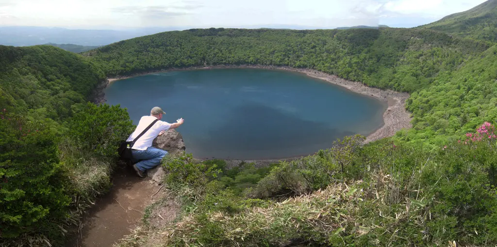
I've been sitting on these pictures for quite a while now. These pictures of mine were original taken on May 16th, 2010 when Dave and I want on a vacation to Kyushu, Japan. We visited our friend Brett in Kagoshima, my friend Ikuko in Nagasaki, and we stopped off at Kumamoto, Shimabara, and Fukuoka. On our second day in Kagoshima, we took a train northeast to Kirishima National Park.
Kirishima National Park is a volcanic mountain range with hiking trails that go up and down most of the mountains and volcanoes in the area. From Kirishima's train station we hopped in a cab that took us Ebino-kogen. The cab driver asked what we planned on doing in Kirishima, and I relayed my ambitious plan on hiking all 5 major mountains in the mountain range. He replied with disbelief and caution from what I could tell. As he brought Dave and I to our destination, he gave us his business card in case we were stuck somewhere and needed a ride.
He also gave us a engilsh map of the entire park which looks a lot like this. That way we wouldn't get lost.
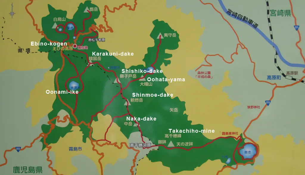
Above is the map posted on the side of the road up the hill from Ebino-kogen. We were on the red dot just a little east of Ebino-kogen. My plan for Dave and I was to hike up Karakuni, and continue on over Shishiko-dake, Shinmoe-dake, Naka-dake, and Takachiho-mine. And then catch a bus to a train station on the east or west side of Takachiho. It was about 10am, I think, so I figured we had plenty of time to scale all 5 mountains/volcanoes.
We started along the hiking trail that lead up Karakuni-dake.
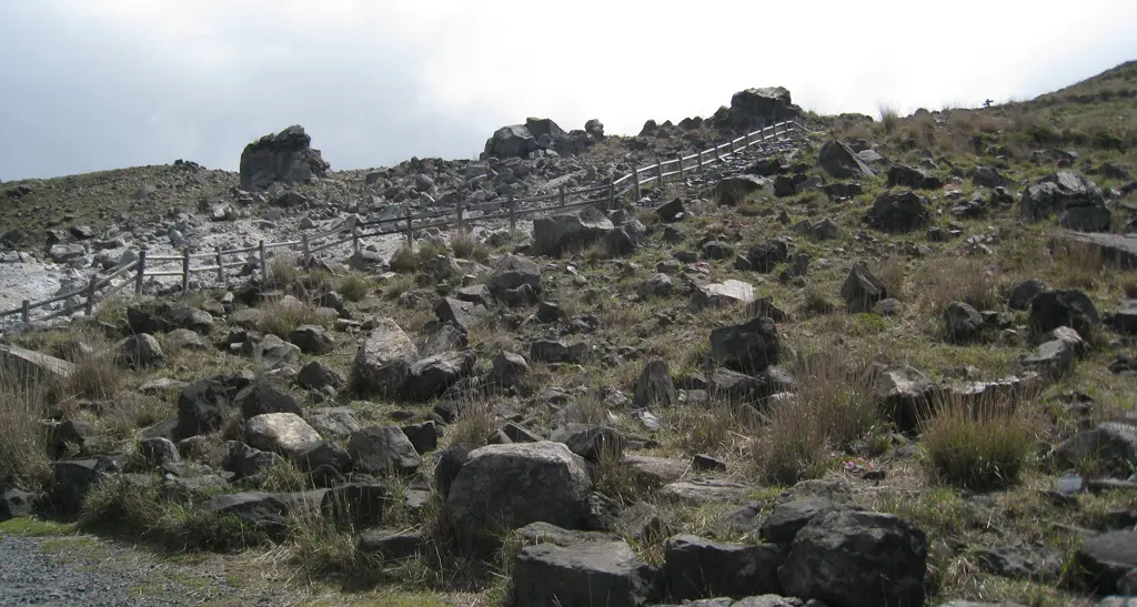
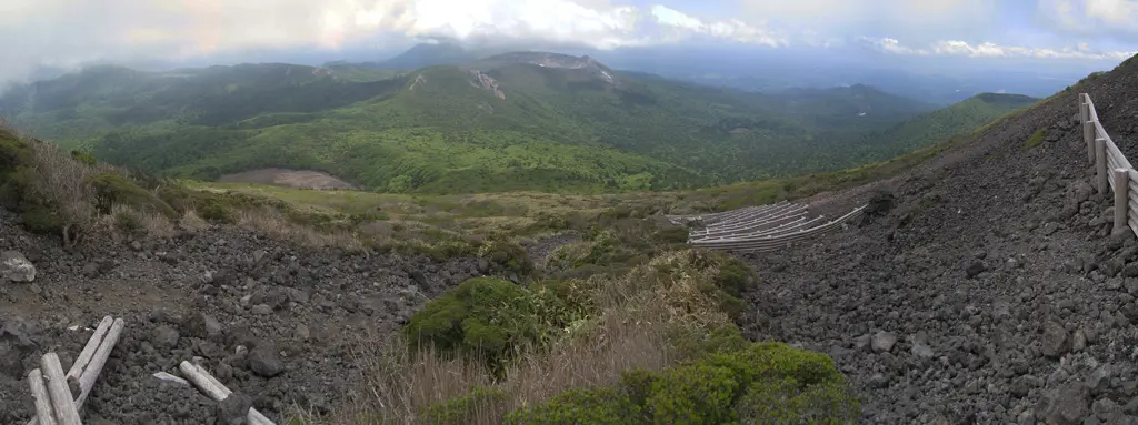
In the opposite direction was a pile of rock and ash. It was a mountain/volcano in its infancy still growing throughout the year.
As we left the Ebino plateau area, the path's incline became more steep, and a bit more unstable. The Ebino area began to shrink and shrink.
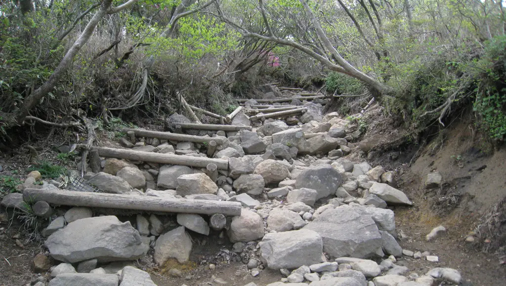
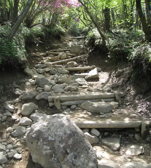
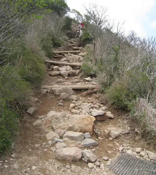
The climb was pretty rough. Dave and I would continue to move up the side of the mountain, and every couple of minutes would take a break. I may have been pushing too much, though, since we had a lot of ground to cover and the time went by incredibly fast.
As we ascended, we got high enough that we were inside the clouds circling around the peak of Karakuni-dake. The clouds completely covered the area, which just looked like a dense fog.
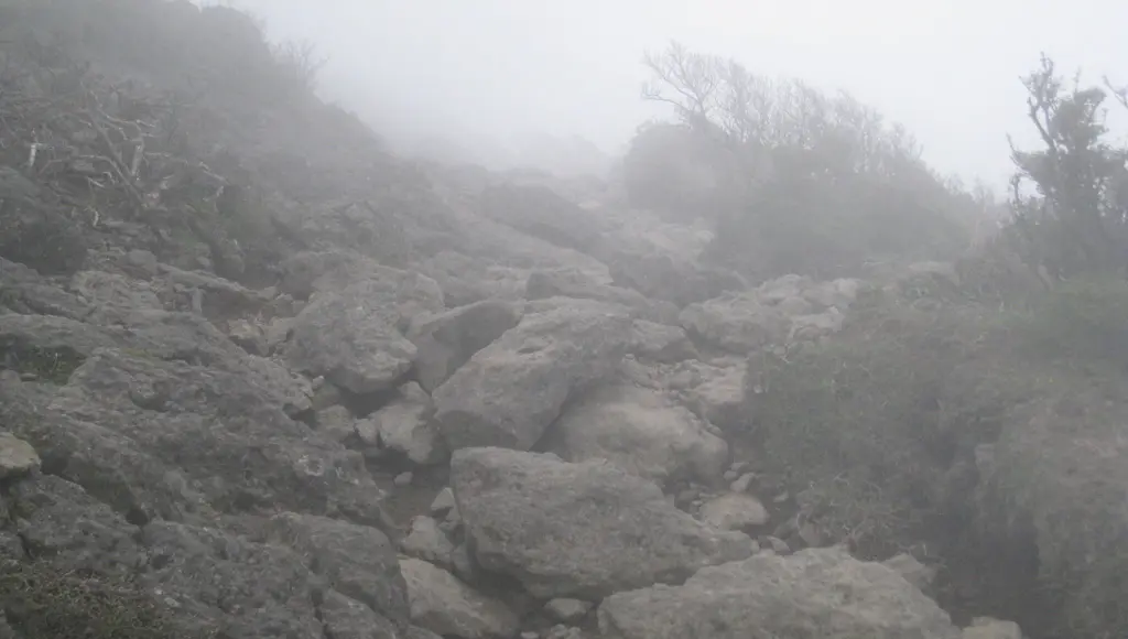
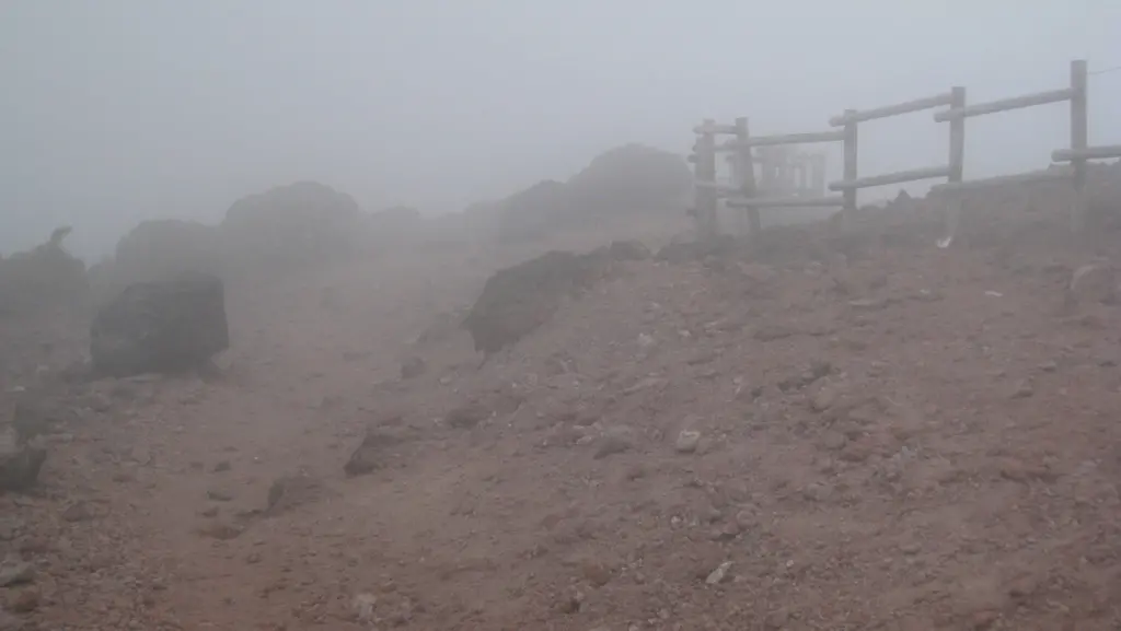
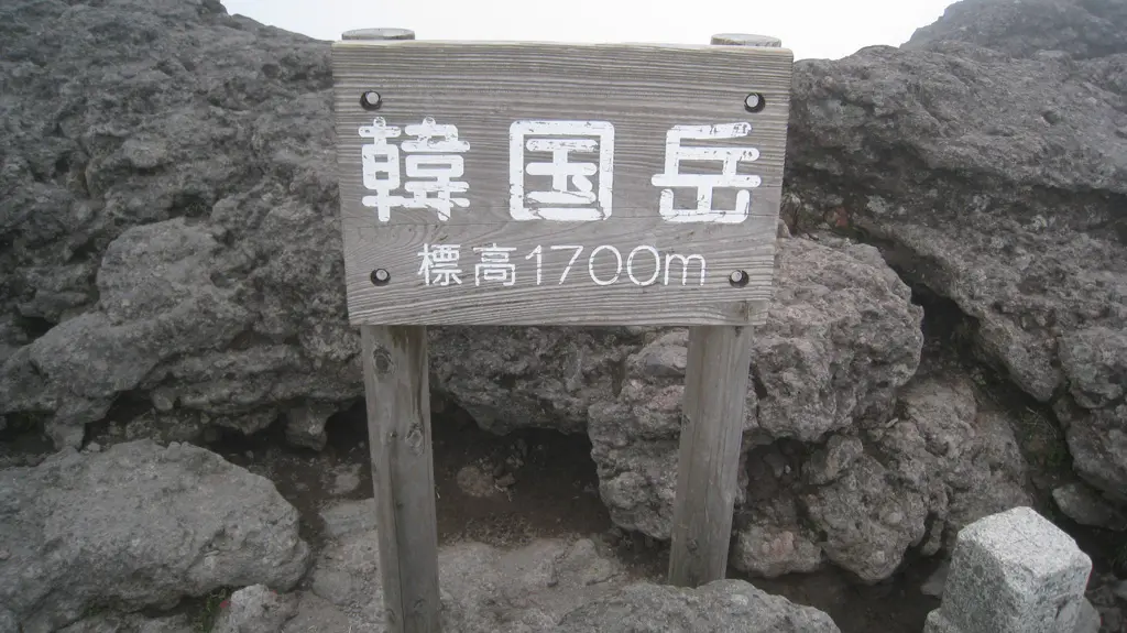
After an hour, or an hour and a half of pushing ourselves up the mountain we reached the peak, which was 1700 meters above sea level. Though, our accomplishment didn't feel all that spectacular thanks to the cloud cover. The clouds choked most of the visibility out of the area, so even though there were cliffs that went straight down a couple hundred meters, all we could see was a gray/white mist.
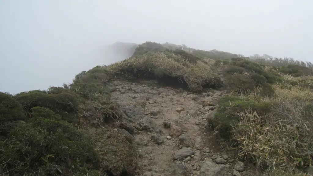
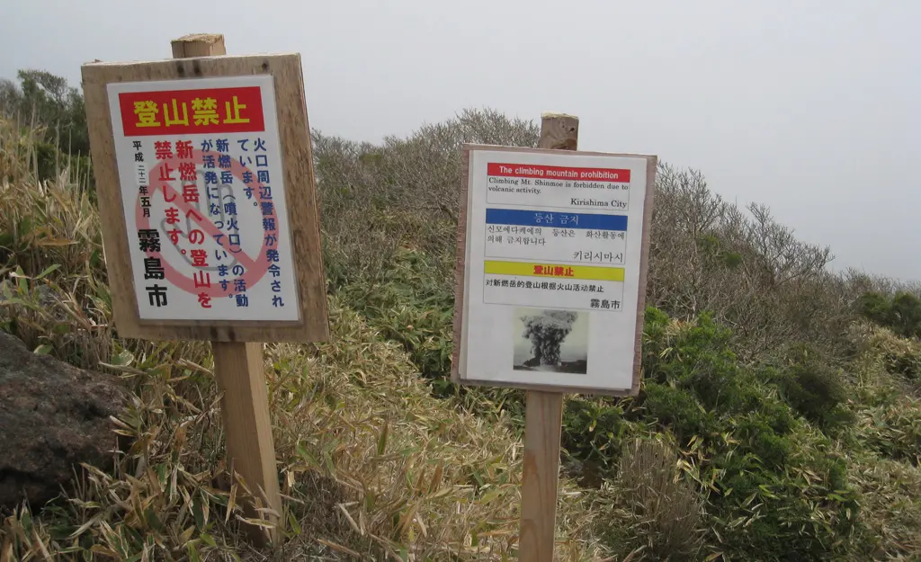
Onward! Man, I felt ready to tackle the next mountain on our list. Though, before even leaving the peak of Karakuni-dake we had to go past a couple signs that said it was a bad idea. The sign said, "Climbing Mt. Shinmoe is forbidden due to volcanic activity," along with a picture of a volcano erupting. Whatever... that's just a suggestion.
We continued along the path, but this path was a lot less stable than the one we climbed up. Much of the path had been washed away by landslides. The rock and foot holds weren't stable, so I slipped quite a bit as I tried to press on. Dave kept trying to convince me that this wasn't a good idea, and after slipping one too many times I finally agreed that we should turn around and go back.
This is probably what the cab driver was trying to warn us about. And since I wasn't listening to his cautions, he probably gave us his phone number so wherever we ended up we could still get back to the train station. That was nice of him. :)
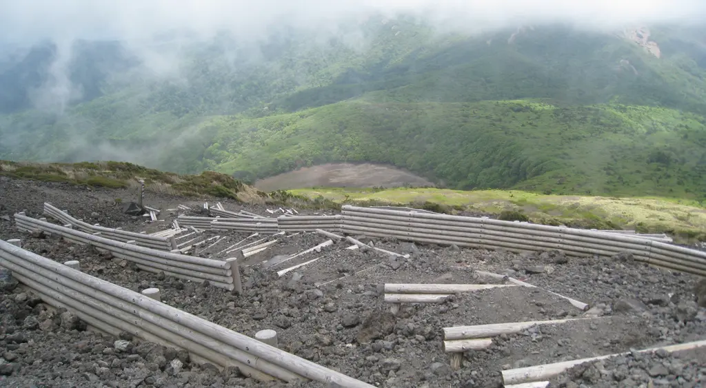
So, that's about how close we got to Shinmoe-dake. Just a reminder that the date was May 16th, 2010. You might remember that this volcano actually erupted in Janurary 2011. And it didn't just erupt a little bit, it fucking exploded! Here's the link Dave sent me a day or two after it happened from Boing Boing.
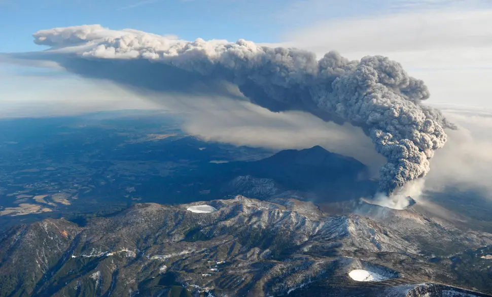
In the above photo from the Boing Boing link, you can clearly see the peak of Karakuni directly underneath the massive ash cloud. Dave and I were there just 7 months prior. :D
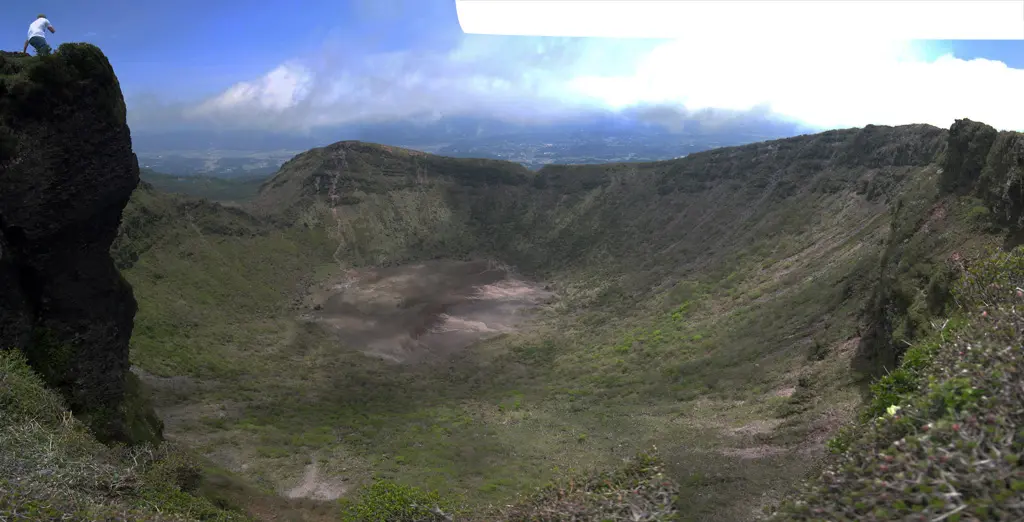
So, it was pretty stupid of me to want to continue along the path and climb the actually active Shinmoe-dake, even after Dave continued to assure me that it was a bad idea. We turned around and headed back up Karakuni-dake and reached the peak once again. We made it back just as the clouds removed themselves and we were able to see everything! We could clearly see into the crator of Karakuni-dake and it's ashy lake. We could clearly see Shinmoe-dake as well.
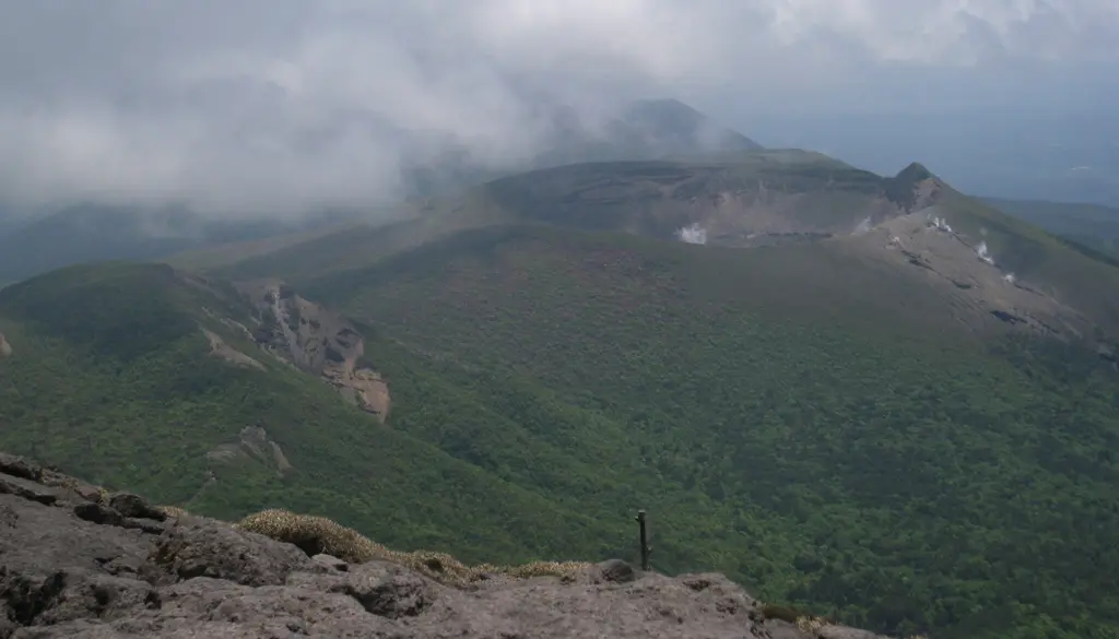
Going back to the map, we noticed that Karakuni had 3 separate trails that climbed up to the peak. There was the path we used to get up to the peak. There was the one we tried to climb down, but were unable to traverse due to rock slides. And the other path lead down to Oonami-ike. So we headed that way.
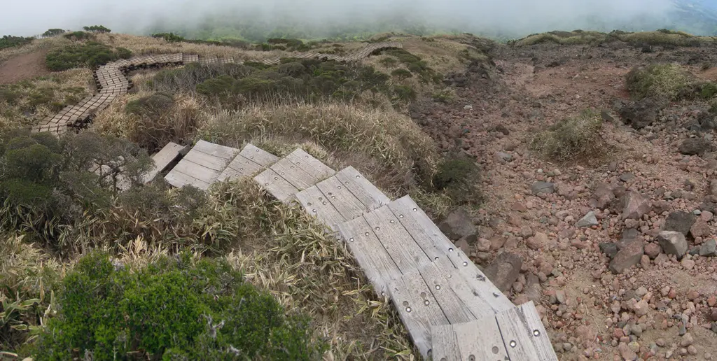
From the get-go, the path was far far nicer to travel than the step rocky path we began the day with. Stairs!
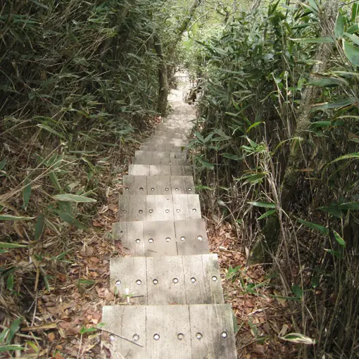
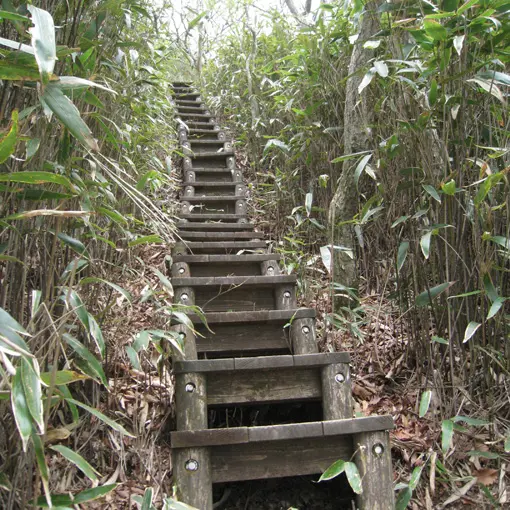
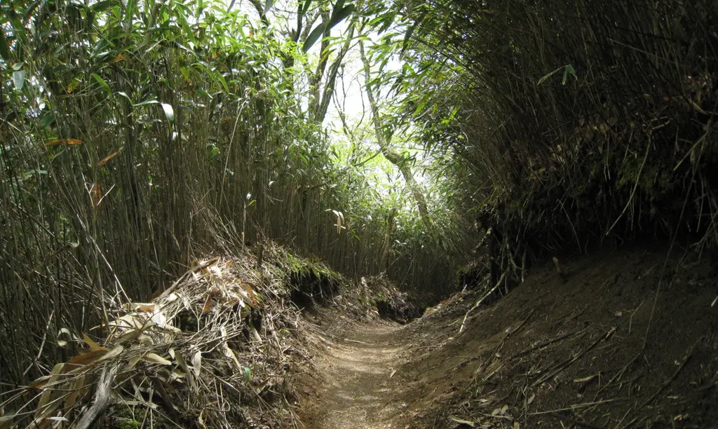
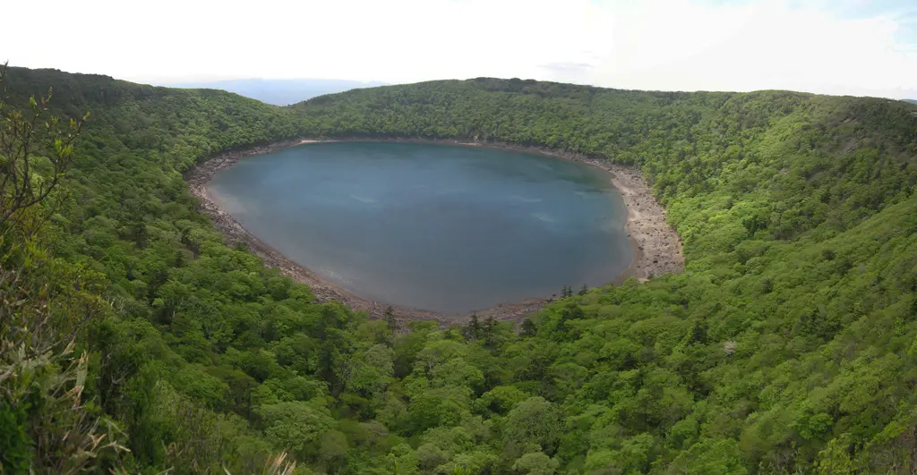
The stairs lead down the mountain into a flat area that had a couple picnic tables, and more trails that spanned the plains. Traveling down a mountain is so much nicer than going up. I think it took us about 30 minutes to get down to the crossroads before we set on the next trail that lead up the dormant volcano surrounding lake Oonami. I think it took us another 15 minutes traveling along the Oonami trail before we caught our first glimpse of the volcanic lake.

It was quite gorgeous, and scenic. As we circled the crator, Karakuni-dake started showing up in our view. That mountain towered over us even though we were still standing on the top of another mountain. It's crazy to think that we even climbed up the far.
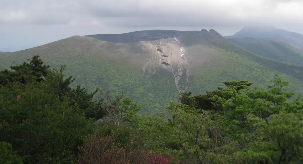
We had a pretty good view of Shinmoe-dake as well.
We had quite a bit of fun taking pictures, and taking in the whole scenery that the time went by incredibly fast. Looking back at this map, we were on the other side of Oonami-ike and it was almost 2pm, or maybe it was 1:30pm. I had a bus schedule on me that I must've picked up from the train station, that said the last bus heading out from Ebino-kogen was 3pm. Back to the map, it would take us about an hour and a half for us to make it there.
We had no time to spare anymore, and had to start bookin' it back to the bus stop. Of course, we could've just taken a cab back to the train station, but we would rather pay the $3 rather than the $25 it was earlier in the day. And I figured it might be a bit difficult to call our cab driver and explain the situation since my Japanese is not good. So, we made some fast tracks to the bus stop. Hiking is much more intense when you're running across the terrain at running speeds.
Trying to run, and climb over stuff like this is crazy.
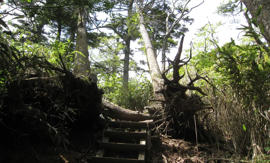
The closer we got, the more of the terrain began to level off. And as the trail ended we were able to keep a decent jogging pace on the paved road as we neared the bus stop. I believe we made it there with 5 minutes to spare!
The journey back to Kagoshima was relaxing and enjoyable. A reward for a fantastic day of climbing dormant and active volcanoes.


