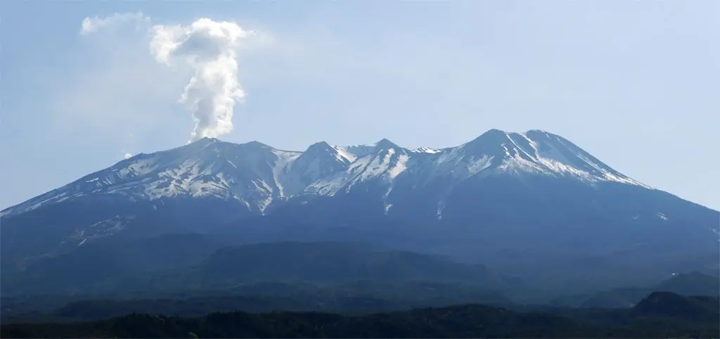
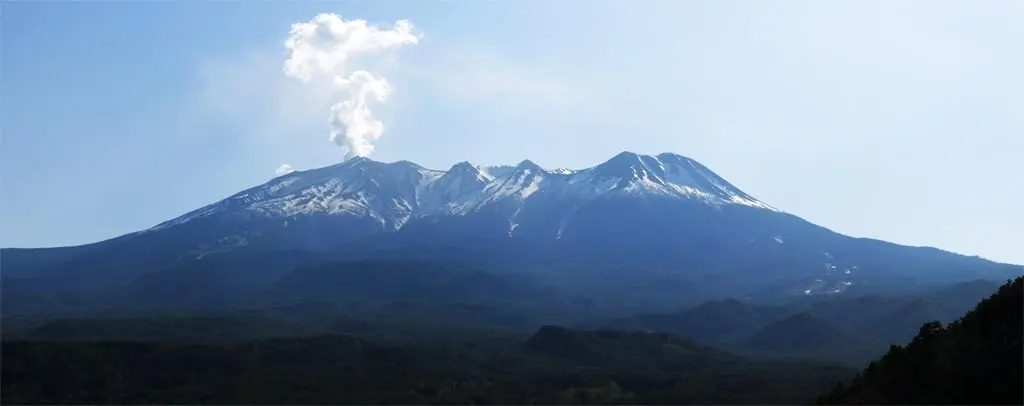
To return home from my Half Marathon in southwestern Nagano 長野県, I decided to cut directly through the southern end of the Alps, rather than take the quicker path around. From Ina City 伊那市, I went west to Kiso Town 木曽町. From there continued west to Takayama. After climbing the continuous inclines, I turned a corner, and saw Mt. Ontake 御嶽山 towering over me.
Ontake-yama is the second highest mountain in Japan, and late September last year, it unexpectedly erupted killing several hikers, injuring many more, and showering Kiso town with an annoying layer of ash. I went there last year on September 29th to take a look.
It is not erupting as much as it was 7 months ago, but the steam still exhausts from the southern peak. These first few photos were taken from the Kiso Observation Point, which was conveniently on the side of the windy mountain road.
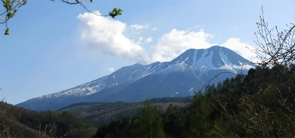
This last photo was taken from just inside the Takayama border in the Hiwada 日和田 area of Takane Village 高根村. This is the site of the old Hiwada ES, which has been replaced with a training facility. No one was using it today, but several teams usually train up here to take advantage of the high altitude.
From this angle, it kinda looks like Mt. Doom.


