This weekend, one of the new ALTs, Garen, and I went to the Norikura Youth Center to do some reconnaissance for our upcoming English camp. The center is located in the high foothills of the Norikura mountain, but it still quite a ways from the top.
There are quite a few hiking trails around the youth center. Many of which lead to some small peaks of their own. After doing a small bit of work, I thought it would be neat to see what the surrounding area had to offer.
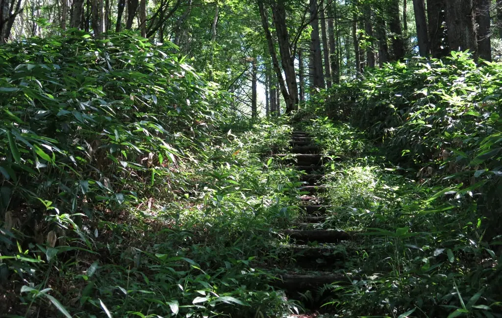
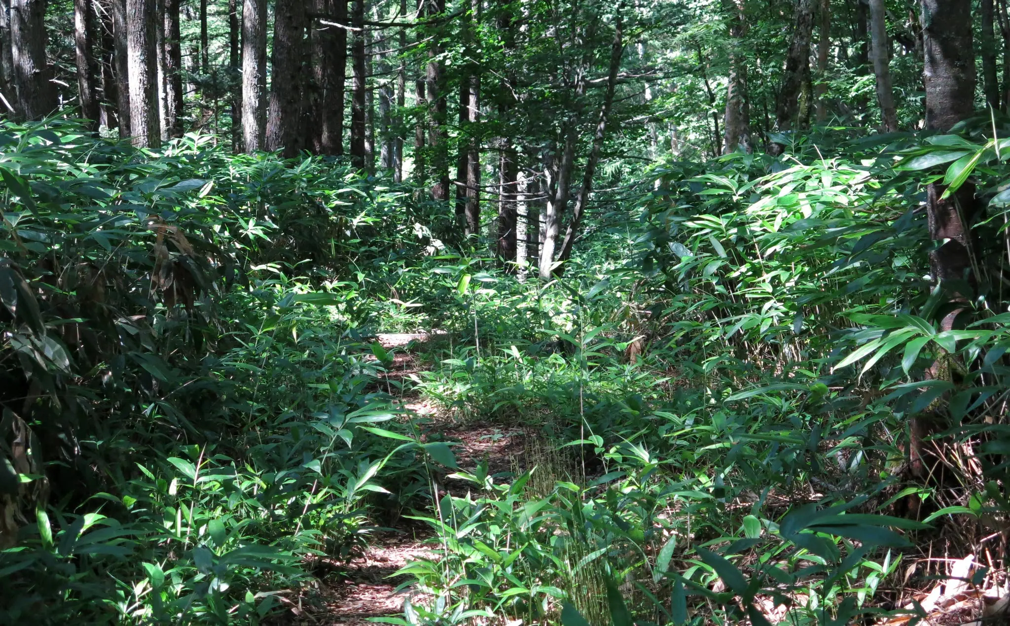
The trails led through some deep forest. The paths were nicely carved out of the forest, so walking and hiking was not difficult. But any view of distant areas was obscured by the green, green trees.
Our route was a rather simple loop. The first leg of the loop went to a peak covered in trees, so we couldn't see anything afar. The route continued up and down several more peaks still covered in trees. Up and down, up and down.
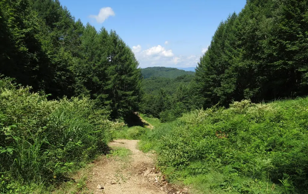
Eventually, the path gave way to some open air.
The trail met with a rocky path meant for vehicles. One way led down, and back to some kind of civilization. The other way the led up our next hill/mountain. The road was a bit steep, though I'm sure most vehicles would have no problem climbing it.
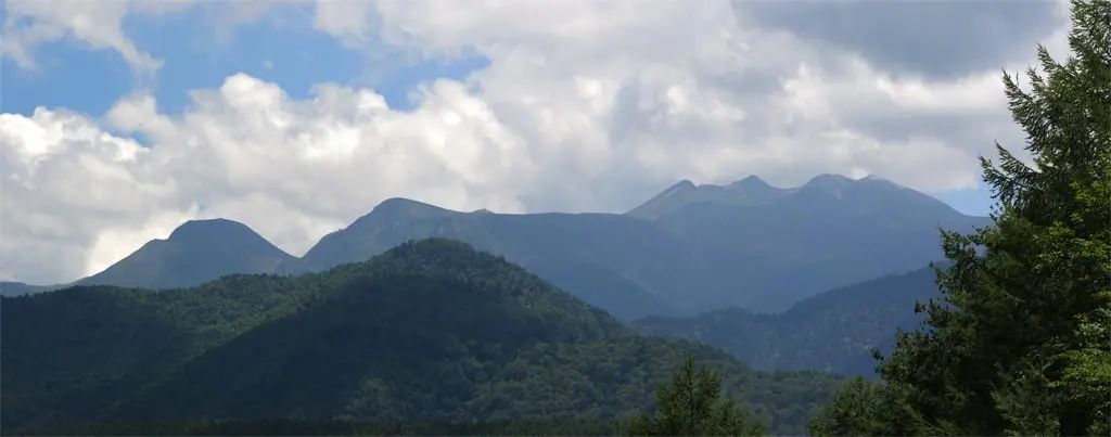
We went up the road, and as the road began to level off, we turned around. Towering above us, to the east, was Norikura.
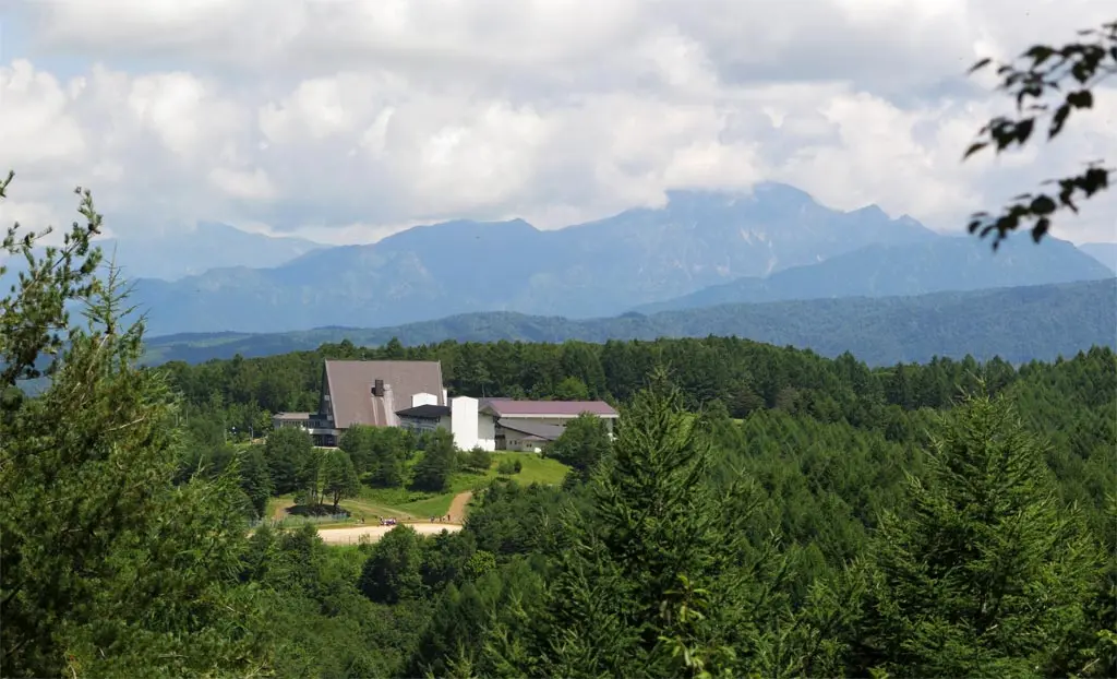
Looking north gave a great view of the Youth Center.
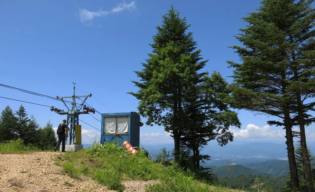
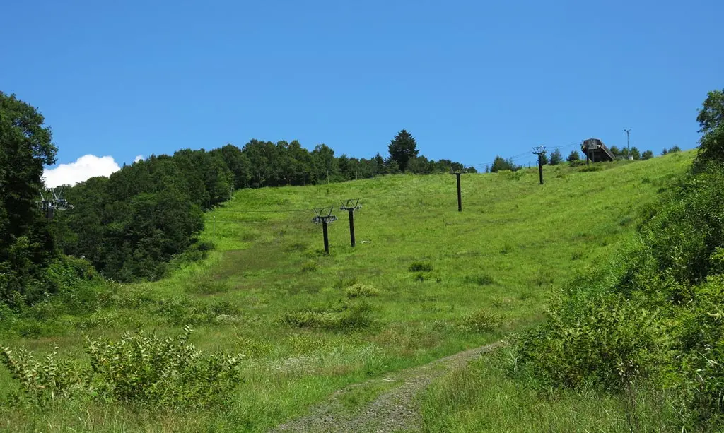
Continuing just a little bit more west brought us to the end of the dirt trail, the top point of one of the Hida Takayama Ski slopes.
This was more inline with the kind of view I wanted to see along these trails. I wanted a clear view of the cascading mountains, and possible be able to see some interesting things.
From this point, Takayama was visible. From the above zoomed in photo, you can see many of the Takayama landmarks, like Associa, Valor, the religious temple, the Teva complex, city hall, and others if you stare at it long enough. This view wasn't as wide-spread as other mountains I've hiked, but I was still satisfied. :)
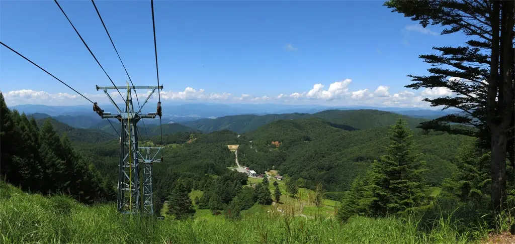
We followed the road back down the mountain. After the bend, the road twisted and turned to hug the contours of the ski hill. At a point, we could easily see where we had been minutes before.
The end of the trail went with another rocky road. One direction continued down and went to the Hida Takayama ski lodge. We went the other direction, which went up back in the direction of the youth center.
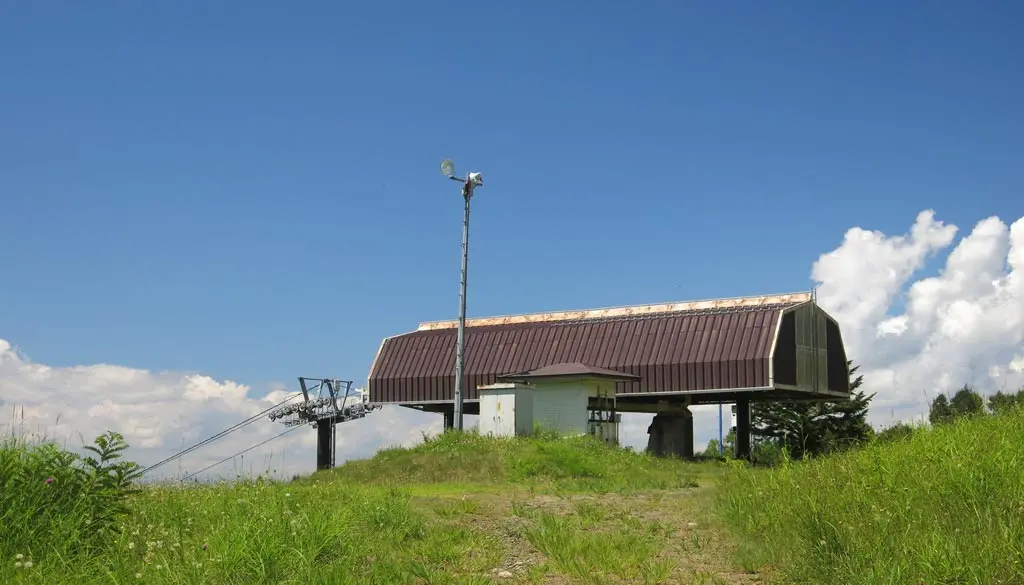
Along the way, we saw more ski lift pillars dart the open hillside. They led us to our next destination, another plateau with a nice view.
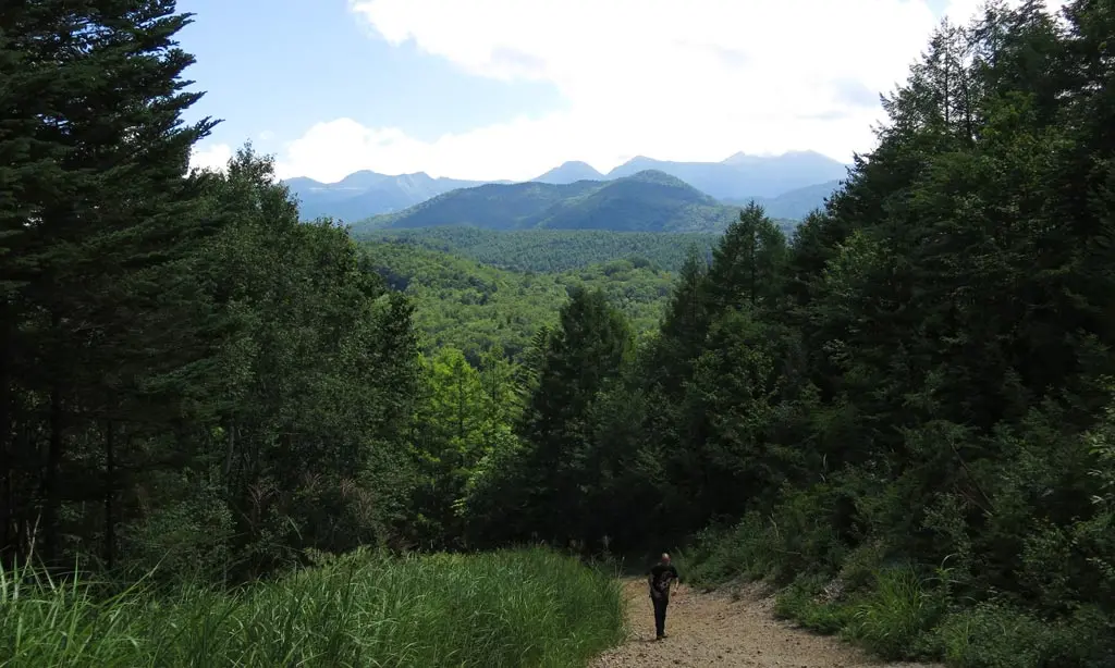
The cascading forests obscured Takayama, but that created a much more pleasant view. From green to aqua to blue. The forests become waves of trees and nature.
The above photo highlights the peaks of nearby hills/mountains. Our hike basically went up and down the spines of each of them. It was nice to end the hike by being able to see the contour of our travel, to look back.
We stayed for a little while and admired the view and the breeze. The youth center was not that far away.
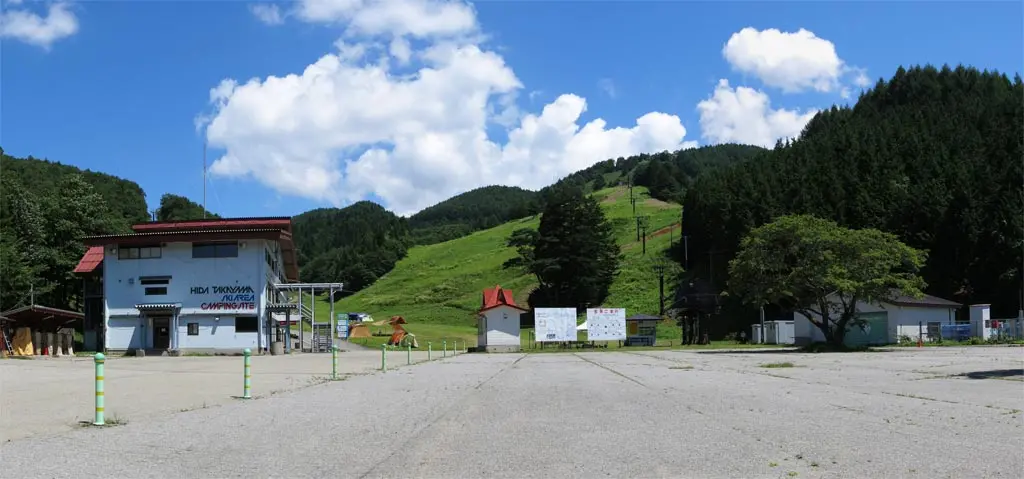
Before we returned to Takayama, we drove down to the lodge of the Hida Takayama Ski Slope. Some people were camping out, but it was mostly empty. Many ski slopes around the Hida region are pretty much this way during the summer. There's obvious no business in the summer, so they're deserted.
Overall, it was a nice hike. Scenic at the end, but not much going on in the forested trails. Good exercise, too. Lots of ups and downs.
