On Saturday, around noon, the nearby mountain, Mt. Ontake 御嶽山, erupted spewing ash and debris into the air. The ash cloud shot into the air and completely covered sky. Some eye-witness hikers reported that day almost immediately turned to night. The ash rained down on the upper areas of the mountain, and covered the terrain. Some area have a layer of ash at least a meter thick.
It was a beautiful clear early autumn day, so the mountain had plenty of hikers out to conquer the mountain. Many of those hikers are now stranded at the mountain's summit building. Others are still missing. Others have been confirmed dead.
The eruption was unexpected, so there was no time to warn anyone on the mountain. The last seismic activity observed from the mountain was in 2007. And it lay dormant since.
I have never lived so close to an erupting volcano before. So, yesterday, I drove out there to take a look for myself. Additionally, I wanted to collect a jug full of ash.
Mt. Ontake is the second largest mountain in Japan at 3067 meters above sea level. It's located on the border between Gifu prefecture 岐阜県 and Nagano prefecture 長野県. In Gifu, Mt. Ontake is in the Hida region. Part of the mountain is in the Takayama city area 高山市, in the village of Takane 高根村, in the Hiwada neighborhood 日和田. This is the very south-eastern outskirts of Takayama. Up until 2008, there used to be a school here. Hiwada covers less than half the mountain, though. The rest of the Gifu's claim to Ontake-yama is in Gero 下呂, which is still part of the Hida region. In Gero, this is Osaka village 小坂村.
I don't know much about Nagano prefecture, but on that side of the mountain, within Nagano is Kiso village 木曽村.
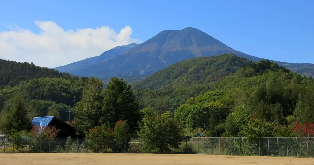
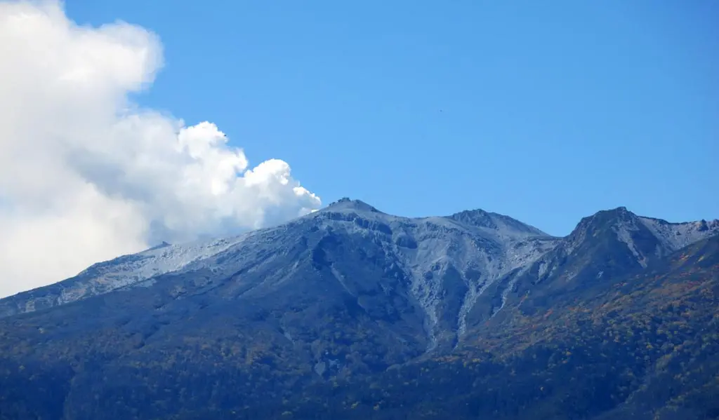
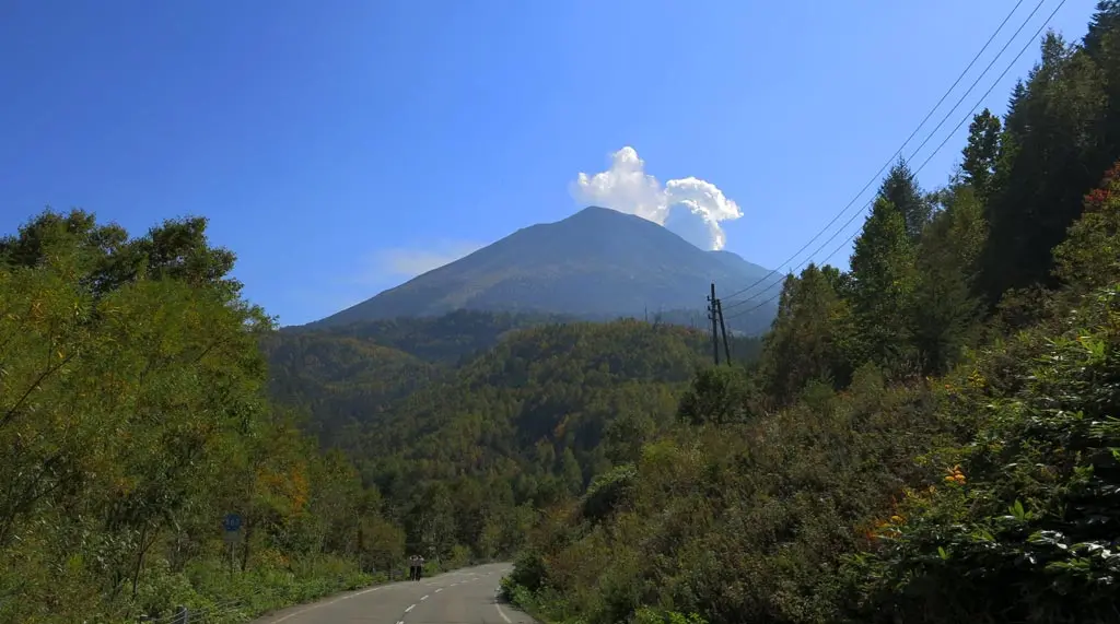
From downtown Takayama, it took about an hour to drive to Hiwada. And from the remnants of Hiwada's old elementary school ground, I could clearly see Ontake-yama. This is north, north-east of the mountain.
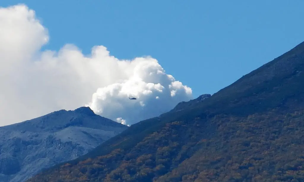
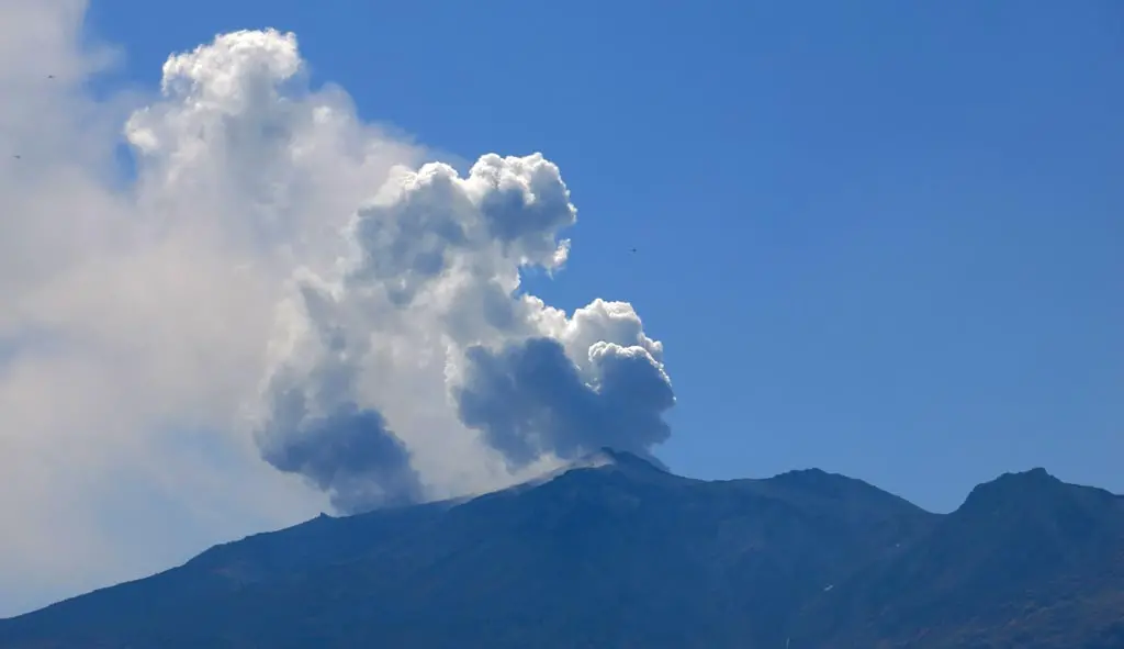
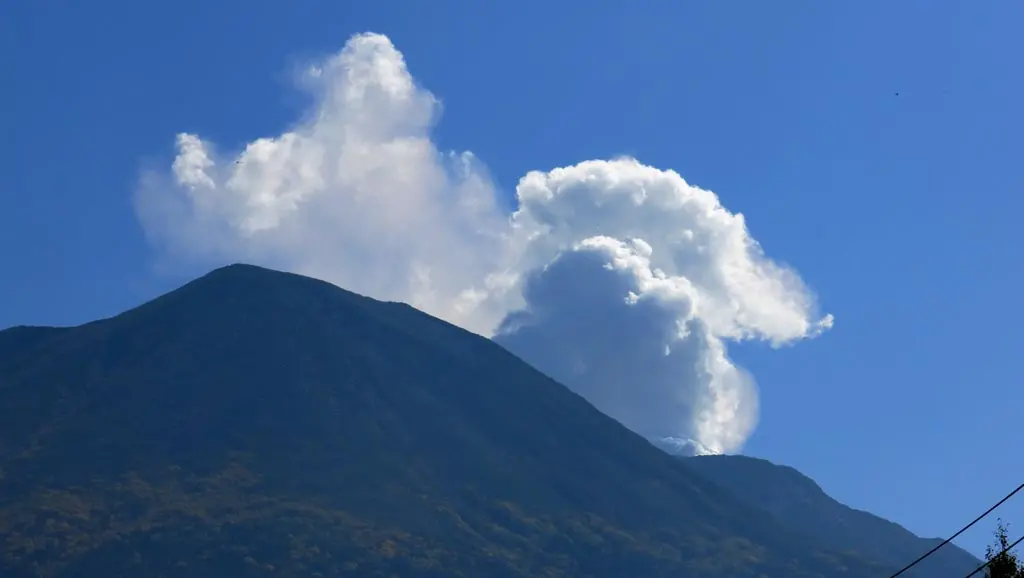
The steam and exhaust from the eruption continued to escape into the sky. Looking even closer, several helicopters circled the erupted peak. They were still searching for survivors, and possibly evacuating the survivors remaining at the summit.
So, I wondered how close I could get to this disaster, and if I was able to collect my jug of ash.
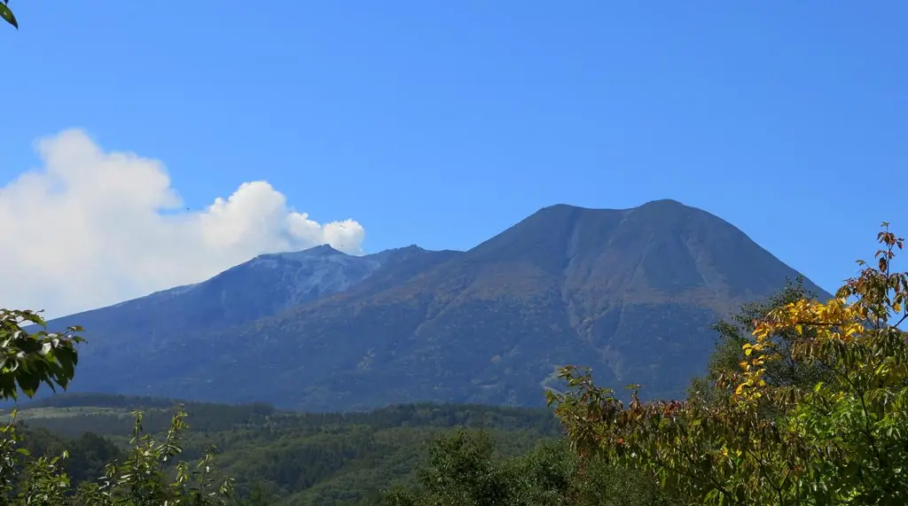
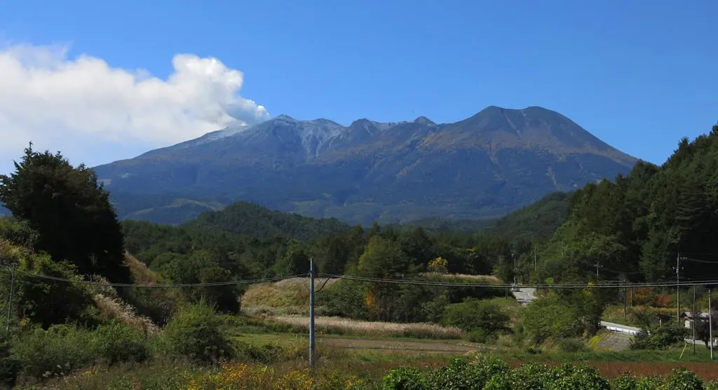
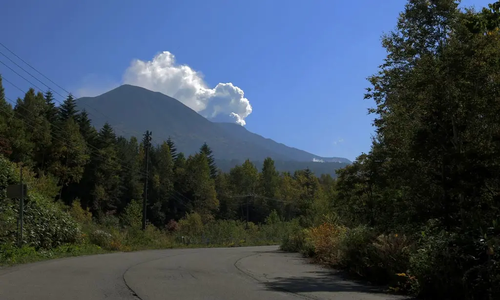
From Hiwada, I continued driving and entered Nagano prefecture in Kiso village. This beautiful scenic route offered plenty of opportunities to stop along the road, and take some photos of the beautiful, yet currently dangerous mountain.
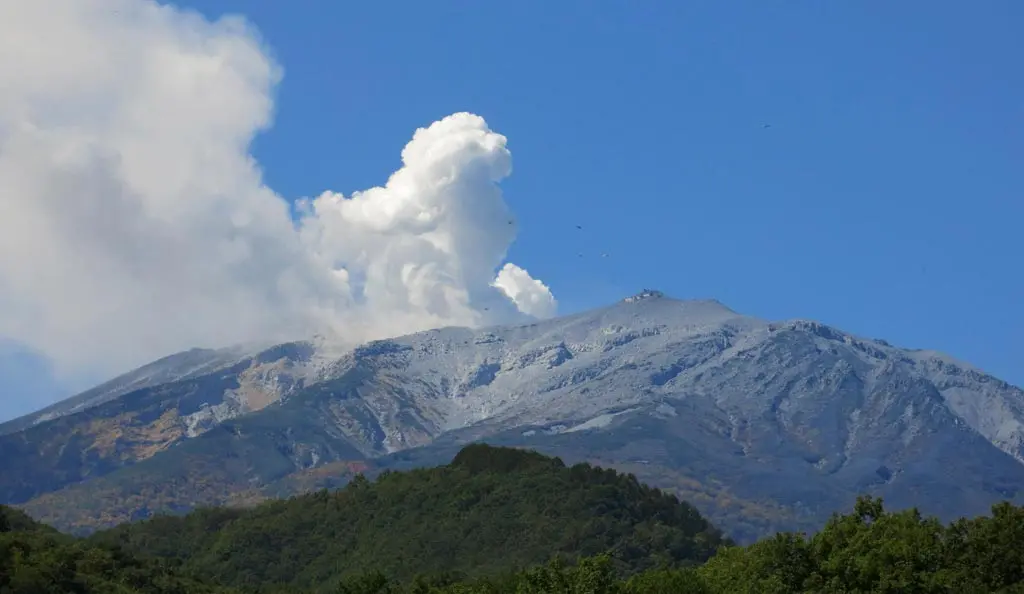
The turnoff for the Ontake gondolas was in a small farming area of Kiso village. This was almost directly north-east of the mountain. From here, you could begin to see the extent of just how much ash covered the mountain. The north side of the mountain was relatively ash-free. The south-side was almost totally covered.
At this point, I was about 7 kilometers away from the eruption. In this farming area, there were no signs of ash on the ground. Everything looked pretty normal.
I continued south towards the gondola entrance. The roads became a little bit more gray, and I began to realize there was a thin layer of ash almost everywhere.
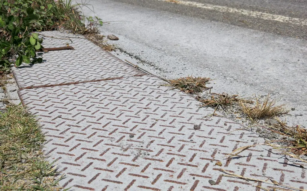
Most of it has been cleaned up by the street sweepers, though. Some fire trucks and emergency vehicles drove by as I took photos on the side of the road.
Traveling just a little bit further, I came to the gondola entrance, which was blocked by emergency vehicles. There were many other gawkers there as well. Their cameras lined the shoulder of the road, snapping photos of the peak. This was directly east of the peak.
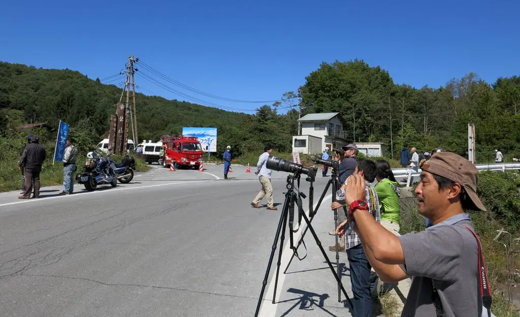
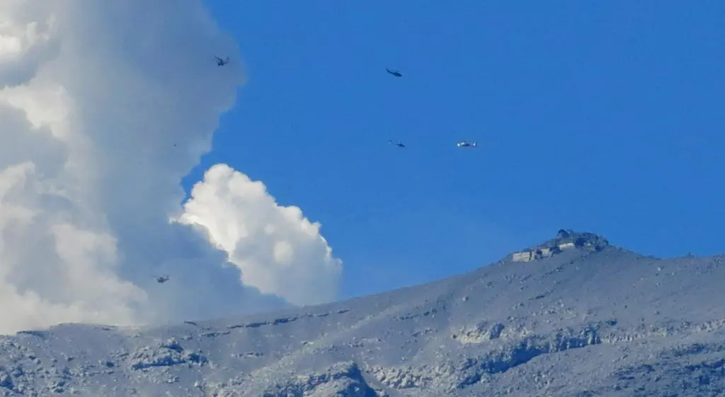
From here, I had a full view of the eruption. Additionally, looking further, I could clearly see the summit building. It was almost totally buried in ash. Helicopters continued to search overhead looking for survivors. I did not notice if the helicopters were actually evacuating people, though.
I wanted to get slightly closer, so I could collect some ash. The emergency vehicles prevented people from gaining access. I looked on the map for alternatives. Down the road a bit further was a farm that had an access road to the gondolas. I drove there, but it was blocked by fire trucks. D'oh. I drove back north, and went down another side road. Again blocked.
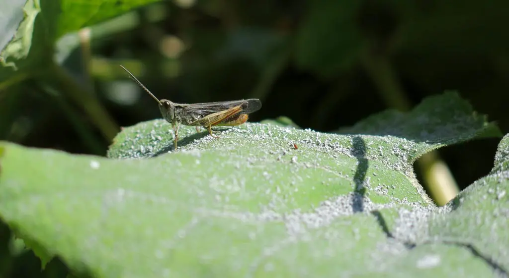
But, in this side road area were many plants that had collected some ash on their leaves.
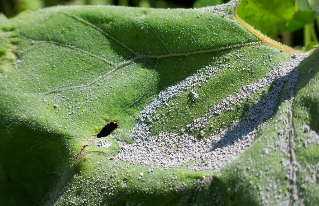
I was able to grab these plants and brush off the ash into my jug. From this, I was able to collect about 100 grams of ash. Not a lot, but it's better than nothing. I collected ash for about 20 minutes, then decided to continue.
There were a few more turnoffs that lead to the mountain, so I drove down these roads to see what was there. The next area I went to was some kind of cabin camping area for rich people named やまゆり荘. Within this neighborhood was a miniature golf course, a swimming pool, and some tennis courts. This was about 5 or 6 kilometers from the eruption.
And these tennis court were the perfect receptacle for collecting volcanic ash. There were a large wide open space, presently untouched by nature or man. The ash from the eruption had not been cleaned or blown away.
Nearby were broom to clean the court. I grabbed one, and swept up a bunch of ash into a pile. Then, I put it all into my jug.
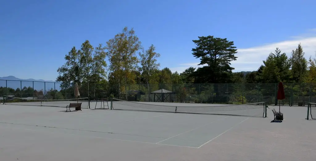
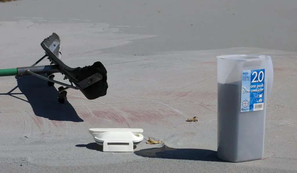
Success! A jug of volcanic ash. Nearby was a sink and running water, so I was able to clean my hands.
I continued driving around the neighborhood, looking for a trail entrance, or some other way of getting closer to the mountain. It's somewhat hard to see, but this whole area had a light layer of ash covering everything. The street sweepers did not yet have a chance to clean the roads. As I drove down these roads, my car kicked up some clouds of ash, which made my car a bit dirty, too.
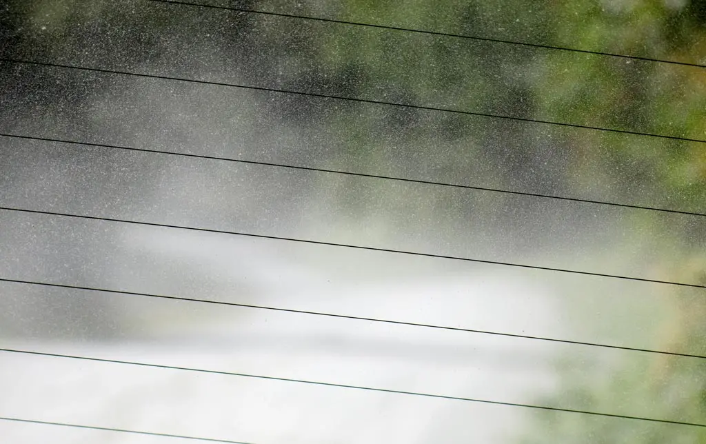
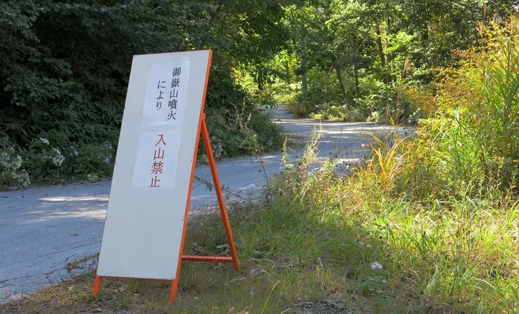
I wrapped around the neighborhood, and came across a trail entrance. Every road leading to the mountain had signs like the one above.
御嶽山噴火により - Due to the eruption of Mt. Ontake.
入山禁止 - Entrance is prohibited.
Eh, I drove up this road anyways to see what was there. When I reached the trail entrance, there were police waiting. A single cop car was perched on the road making sure no one continued along. The two policemen approached my car, and told me that entrance was prohibited, and I should leave. So, I turned around and went back.
The emergency teams of Kiso village were pretty thorough. If even this tiny little entrance had a patrol, I was most likely not going to find anyway else to gain access to the mountain. And really, I already got my jug of ash, and enough photos. I didn't need to proceed any further.
I went back to the farms, then took to the road returning to Hiwada. It was around 1pm now. With the afternoon sun directly above, the air became a bit hazy, and more difficult to get decent shots.
The mountain continued to erupt.
I arrived in Hiwada, and decided to go to the Ciao ski resort to take a look of the mountain from that side. Given the direction of the wind in the Kita Alps, Gifu is most untouched from the eruption. The wind has blown all the ash and debris into Nagano.
The Ciao ski resort is directly north of the mountain peaks. The actual eruption was slightly obscured by the northern peak of Ontake-yama.
At Ciao, there were plenty of people taking photos. There were no police or emergency vehicles. It felt like this whole eruption, despite being on joint Gifu and Nagano land, was really only being handled by Nagano. I guess that makes sense, though, since that's the direction of the fallout.
I went up to the resort a little bit and looked around. I noticed some hikers returning from the hills. I think they were there for the same reason I was.
Anyway, Takayama is totally safe from the eruption of Ontake. Even Hiwada, the closest area of Takayama, seemed unaffected by the blast, and fallout. Hiwada didn't even have any ash. They probably didn't even feel anything.
Kiso village in Nagano seemed hit the most by the disaster, as well as the visiting hikers, some of whom lost their lives. I think at this point, there are still 30 hikers missing, most likely buried in ash somewhere near the peak of the mountain. I hope rescue workers are able to recover them before they die. :(
