A month ago, a friend sent me a message about a Photo Rogaining フォトロゲイニング event in my town. Photo Rogaining is a somewhat new sport that combines photography and running. It's like a photo scavenger hunt, except you are giving specific locations where to take the photos. The challenge is, by having no prior knowledge of the locations, you must quickly determine a route to reach as many checkpoints as possible, each checkpoint having different point values.
Prior to his message, I had no idea what this was. ロゲイニング? I could not figure out the English word this was trying to be. Logging? Photo Logging? But, Photo Rogaining is the correct English. Rogaining as a sport began in Australia. Its first event was in the 70s. The name Rogaining comes from the 3 folks who invented it: Rod, Gail, and Neil. They just combined their names.
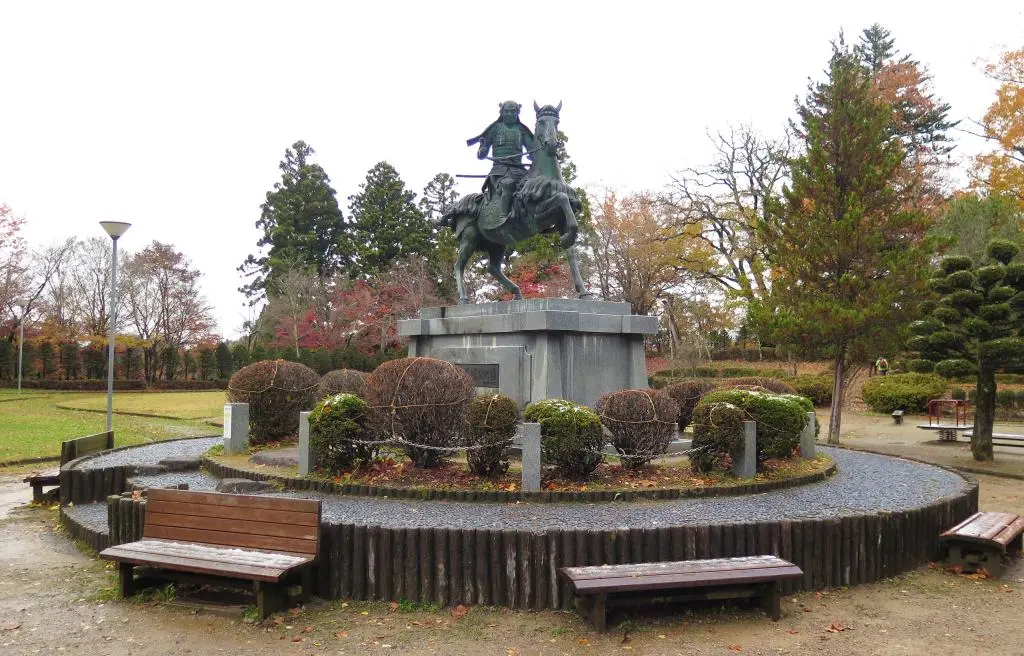
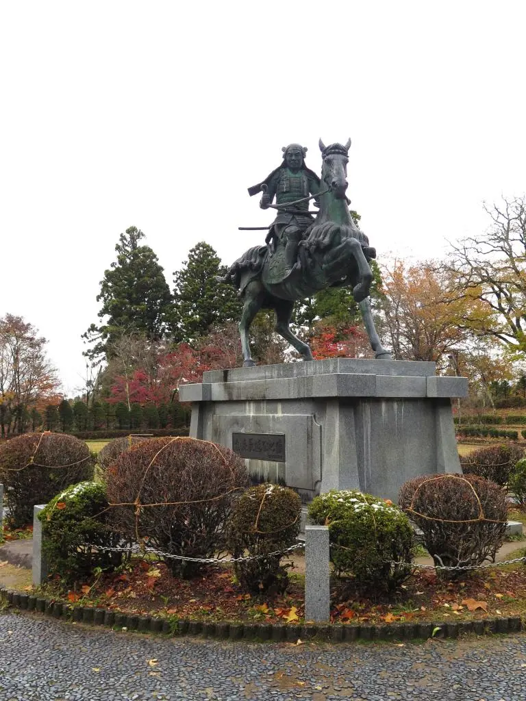
The full title of the event was Hida Takayama Photo Rogaining - Celebrating the 500th Birthday of Nagachika Kanamori -金森長近生誕500年記念- 飛騨高山フォトロゲイニング. Kanamori is a very special historical figure for the town. We have a statue of him in the Castle Park.
Head of the Kanamori Clan, Nagachika led his troops as an arm of the Tokugawa Clan and conquered northern Gifu and eventually Toyama, Ishikawa, and Fukui. Becoming the daimyo of the area, Kanamori transformed Takayama into a small-sized castle town to encourage tourism of other rich lords. He established what would become modern day Takayama.
So, the event commemorates the 500th anniversary of his birth.
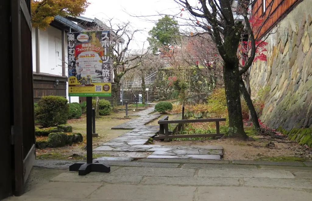
The Takayama event was advertised around town a little bit. The starting point as well as the main venue was the Takayama City Historical Museum downtown. The poster had a link to the website for more information: https://photorogaining.com/event/3862/
There were 6 different categories of participants: Family Team, Men's Team, Women's Team, Mixed Team, Men's Solo, and Women's Solo. The event had a limit of 100 entrees, but we only had around 40 people total? A few didn't show up, but overall I don't think the event was advertised all that well. I'm really glad my friend sent me the info.
My friend joined a team with his daughter. There were 3 or 4 family teams. The biggest category was the Mixed Teams with 9 separate teams competing. The second biggest category was my category, Men's Solo. We had 6 individuals.
The schedule was as follows:
11:00 - Reception
12:00 - Start
15:00 - Finish
15:30 - Awards Ceremony
On the Japanese Photo Rogaining site, they listed some general rules. It was not exhaustive, so I didn't completely understand everything. Through the course of the event, I was able to understand the rules better, and now I have a much better grasp of what I could've done to place higher than I did.
Reception for the event was 11am at the museum. At check-in, we got our bib, number, and a packet with our map, which we were not allowed to open yet. Around 11:30am, they began explaining all the rules for the event. Again, I would've preferred they had all the rules clearly listed, so I could've double checked everything.
At 11:50am, 10 minutes prior to the start, we could open our maps and look at all of the objectives.
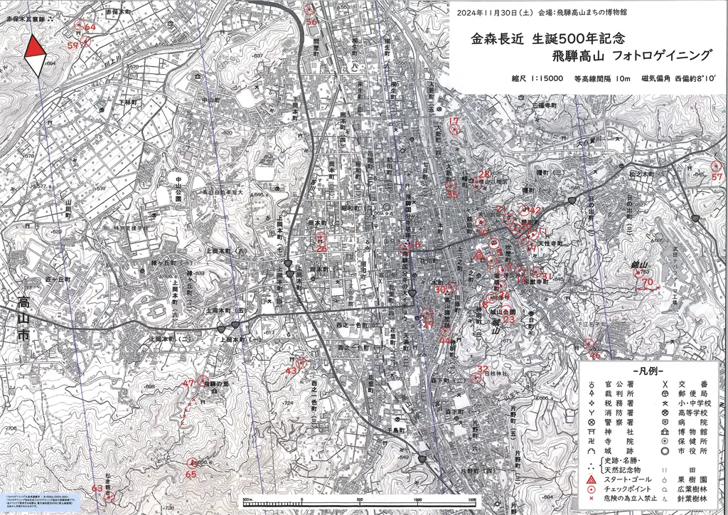
Several points on the map were ones I had guessed earlier, but I had no idea it would push out as far as Matsukura Kanon and Matsukura Castle ruins. In reality, it's only 5 or 6km away. Normally isn't that far, but both of these are on the top of a mountain. Steep vertical ascents in a marathon are rough. On the other hand... 63 and 65 points are really high values, along with 43 and 47 on the way.
I didn't have a lot of time to think or compare this to the other points. I know that I wanted to climb up Shiroyama (castle park) for those points. So, my plan was to get some nearby points, go up Shiroyama for those points, and then push off west for Hida no Sato at least. On my return, I would keep north to grab all of those points before the end.
As the event began, one of the Solo guys immediately bolted to the stoplight and then west. I kept up with him to the stoplight, but I was going east.
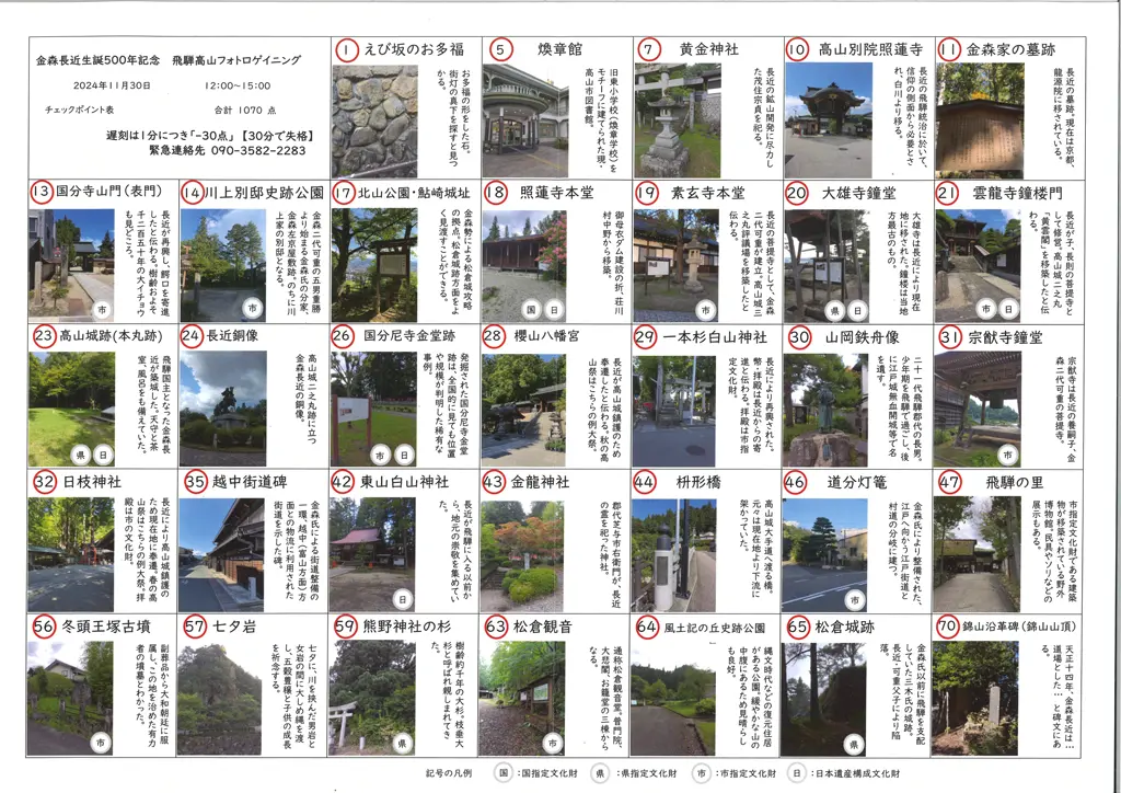
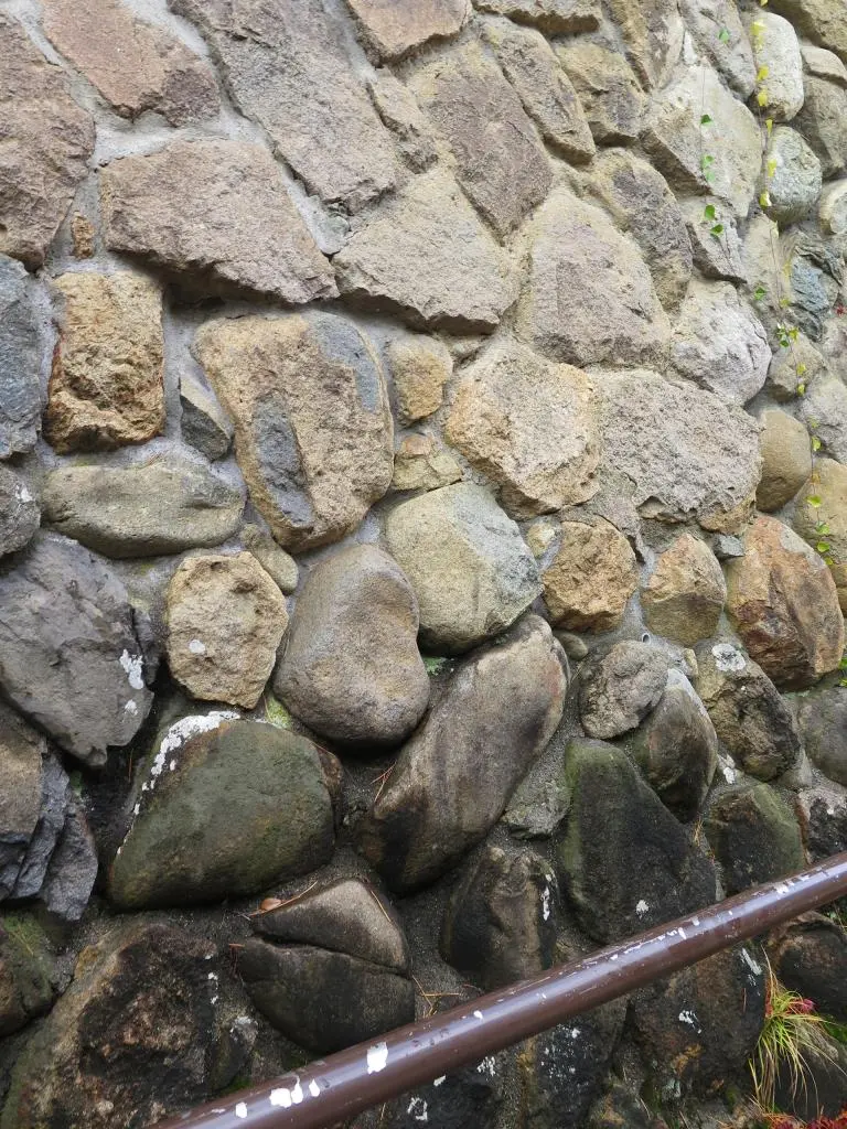
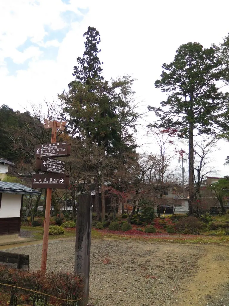
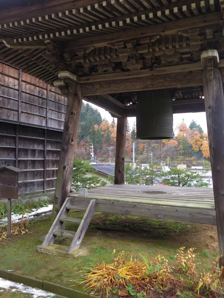
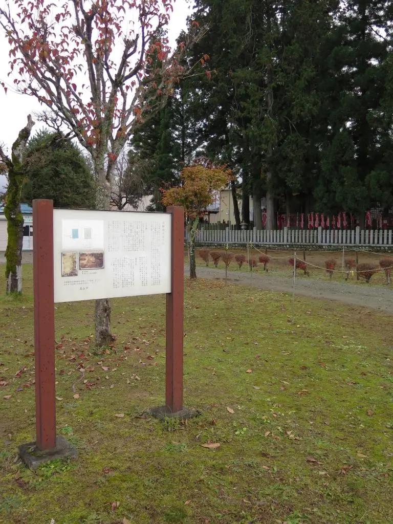
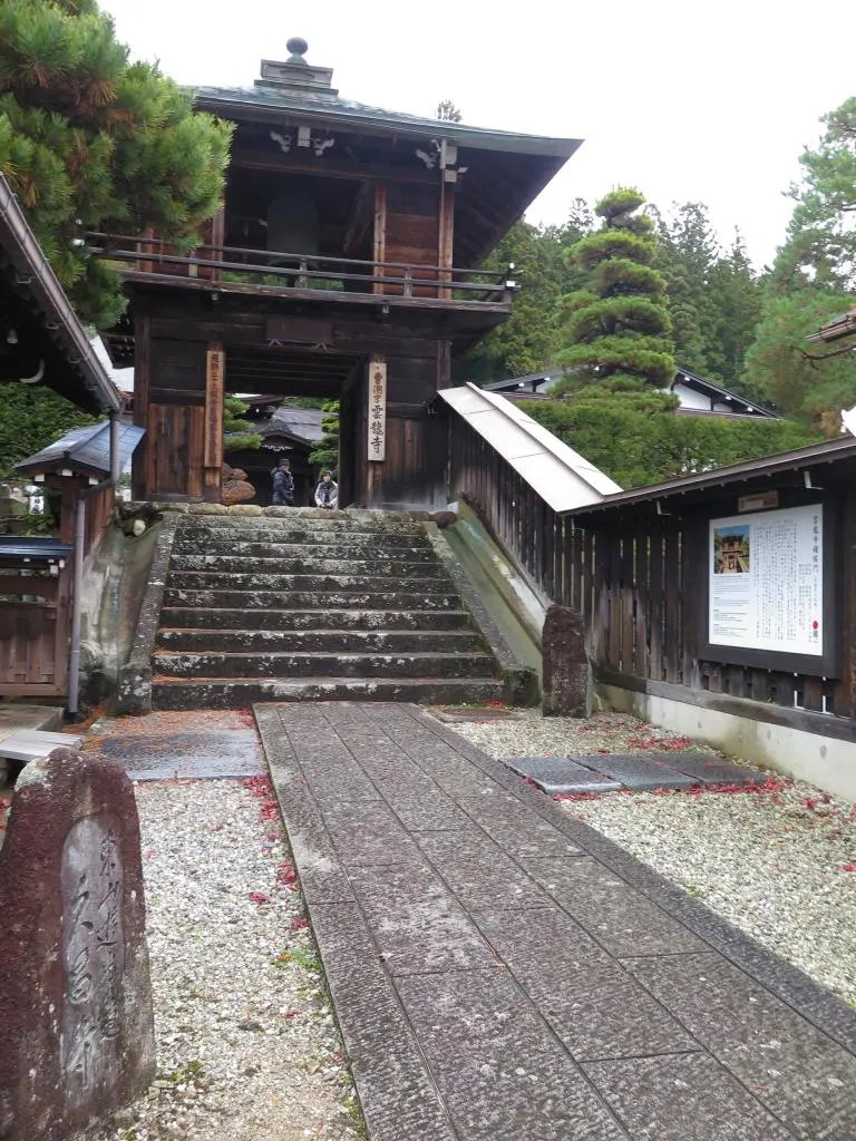
I grabbed a photo of the rock wall leading up the hill, Point 1, labeled as えび坂のお多福. Further east, I snapped a photo of this small park, Point 14, 川上別邸史跡公園, Kawakami's Historical Second Home park?, on the way to the Bell Tower at Soyu-ji Temple, Point 31, 宗猷寺鐘堂. I snapped all of these in the first 7 minutes of the race.
1 → 14 → 31 // (46 points)
Next, I wanted to climb Shiroyama 城山 and get those points. Looking back now, I really should've kept going west to grab Point 46, 道分灯篭. It really wasn't that far away, and those 46 points would've been crucial.
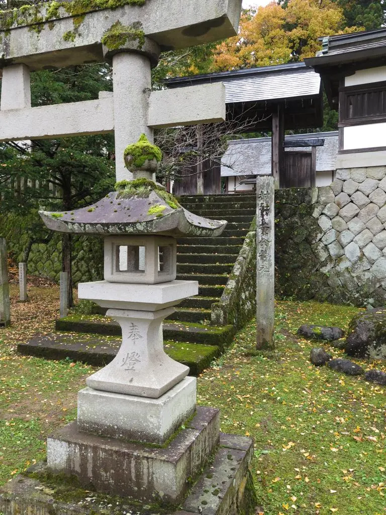
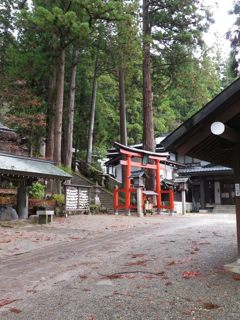
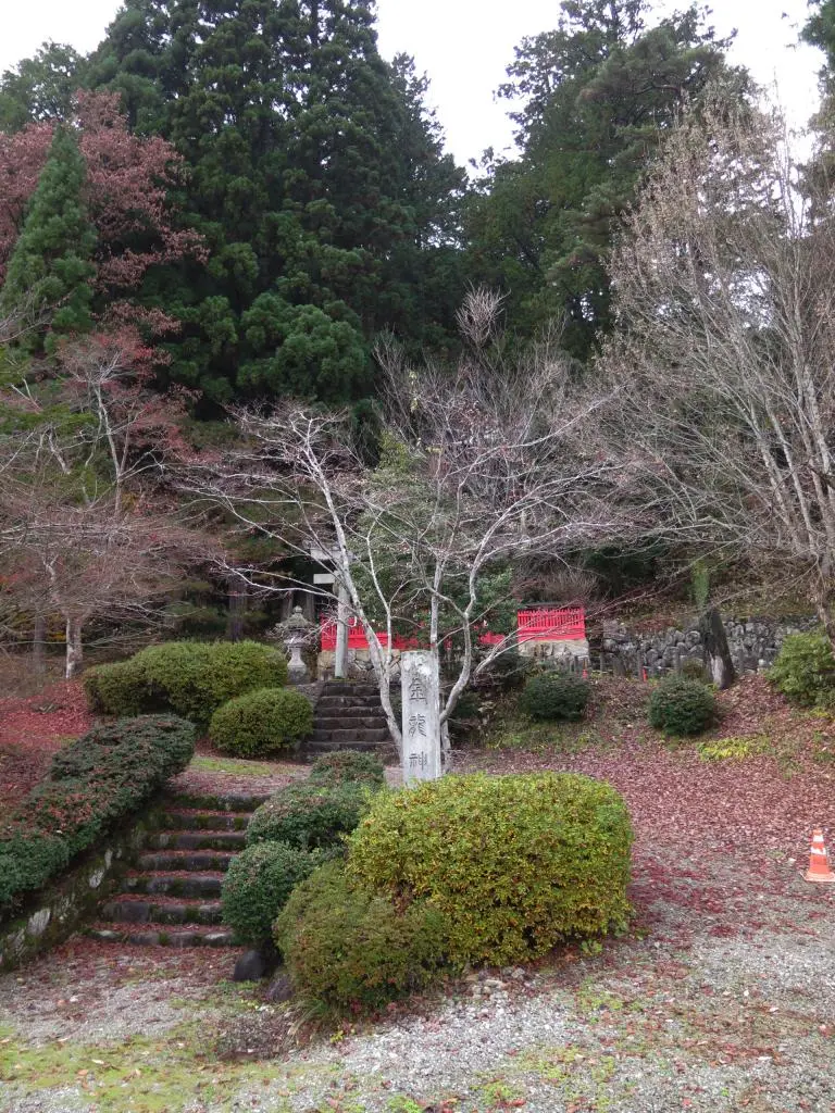
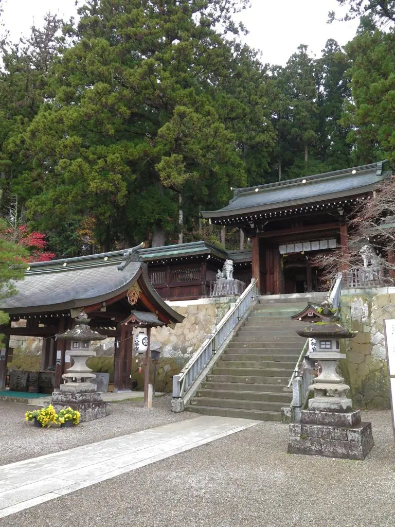
Starting my climb of Shiroyama, I grabbed a photo of an outer gate of the Kogane Shrine 黄金神社, Point 7. Behind the shrine is a hiking path that goes directly up to Shiroyama Park 城山公園. I'm not sure too many people knew about that. Way faster than taking the road. In the center of Shiroyama Park is the bronze statue of Kanamori, Point 24, 長近銅像. This is also where I parked my car. I dumped all my extra packet stuff in my car, and continued.
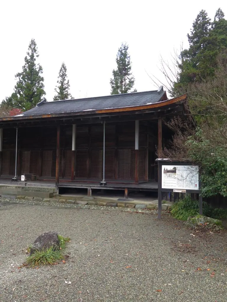
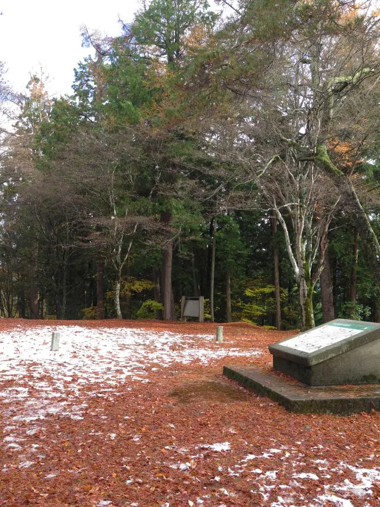
Before taking the path up to the Takayama Castle Ruins, I quickly ran over to the nearby Shoren-ji Temple 照蓮寺, Point 18. The path going up the mountain is pretty steep. Stair, after stair. It's not so bad if you're hiking normally, but in a race, it's rough. I reached the Takayama Castle Ruins 高山城跡, main building 本丸跡, Point 23, at 12:25pm.
7 → 24 → 18 → 23 // (+72 points / 118 total)
There are hiking trails that spider-web themselves throughout Shiroyama. One trail leads directly down the mountain to Hie Shrine 日枝神社, Point 32. It took me around 5 minutes to figure out the correct vantage point of the photo. (Later, I learned that getting an accurate photo didn't matter :/ )
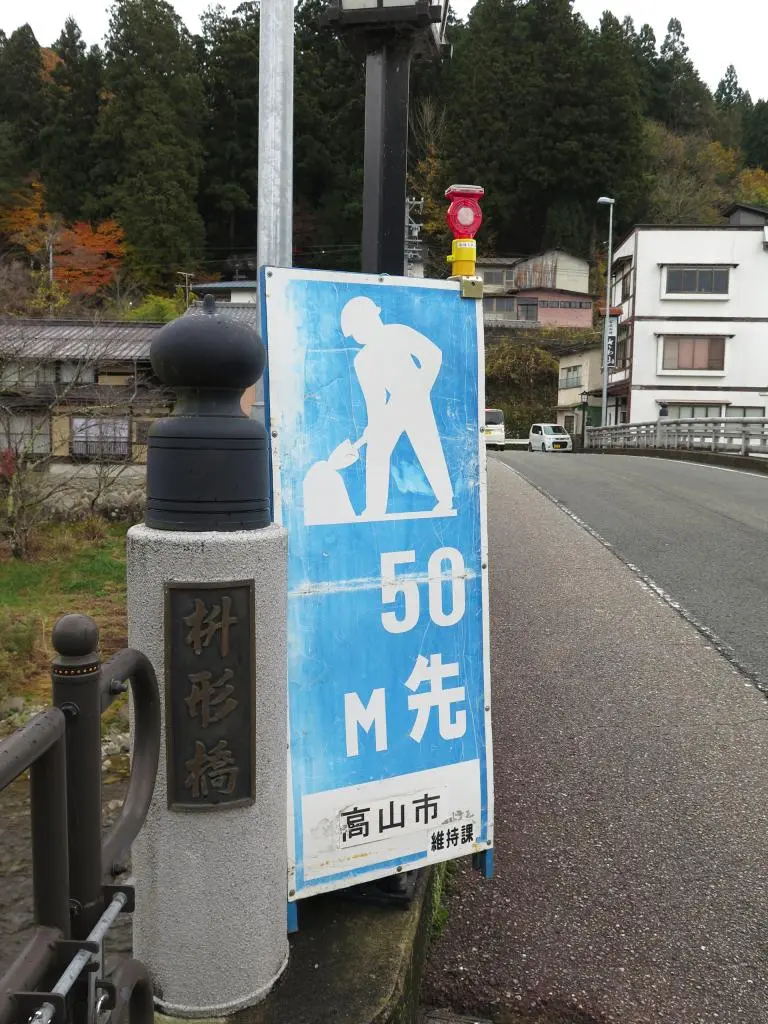
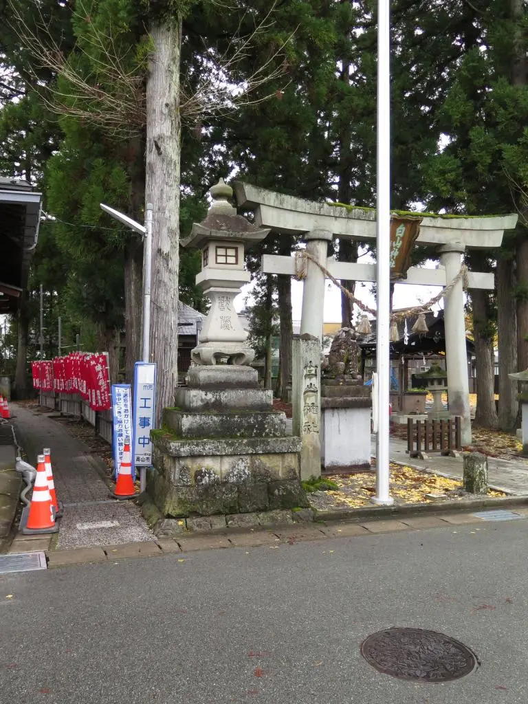
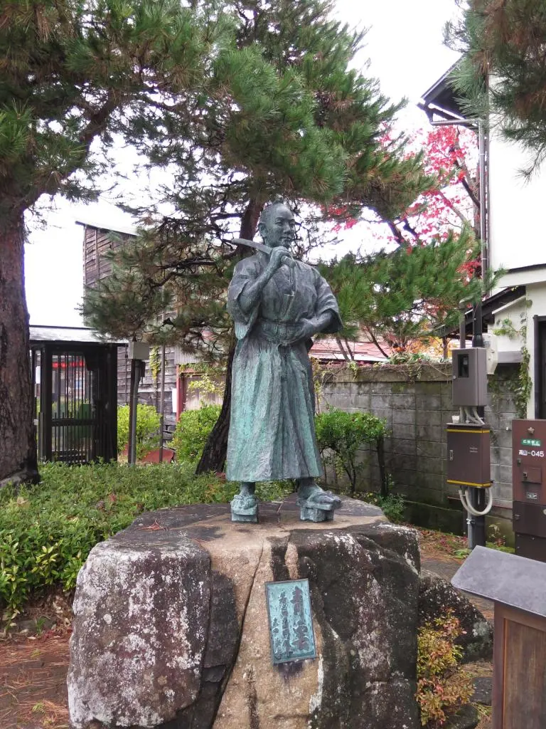
From Hie Shrine, I ran north along the river to grab Point 44 at Masugata Bridge 枡形橋. Ippon-Sugi Hakusan Shrine 一本杉白山神社, Point 29 was a quick run away. Then, a little bit of backtracking to snap a photo of Yamaoka's statue, Point 30, 山岡鉄舟像.
32 → 44 → 29 → 30 // (+135 points / 253 total)
The time was almost 1pm. I grabbed quite a lot of points in a short amount of time, but now it was time to push out to the west towards Hida no Sato and Matsukura. It took about 15 minutes to run to Kinryu Shrine 金龍神社 at Point 43.
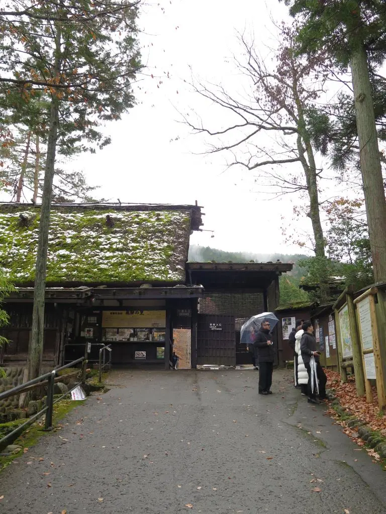
With the time around 1:20, I considered whether I would be able to make it to Hida no Sato and still have time to grab all the other points downtown. Eh, I pushed up the hill anyways, and reached Hida no Sato 飛騨の里 in about 13 minutes. Point 47, easy.
43 → 47 // (+90 points / 343 total)
Being at the door step of Mt. Matsukura, I could've pushed further to reach points 63 and 65, but the climb up the mountain was a lot, and after already going up and down Shiroyama, I didn't really consider it possibly to get up there and back. Looking back now, it really didn't take much to get Hida no Sato from Kiyryu Shrine. Maybe I could've grabbed Matsukura, but there were closer points that I should've grabbed instead.
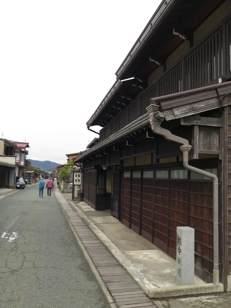
I ran down the direct road going North back to 472. I cut through some of the neighborhoods and reached the next location. Next to the Tsujigamorisan Shrine 辻ヶ森三神社 are the ruins of a temple, the Kokubun Nunnery Temple 国分尼寺金堂跡, Point 26. From there, I continued straight downtown to the main Kokubun-ji Temple, Point 13. Then, a little north towards Hachiman Shrine 櫻山八幡宮, Point 28, but snapping a photo of the Ecchu Kaido Monument 越中街道碑, on the street, Point 35.
Not on the list, but I also snapped a photo of the Pokemon Manhole Cover.
26 → 13 → 35 → 28 // (+102 points / 445 total)
It was now 2pm, only an hour left of the event. I was back near the finishing line and there were 7 locations around me. My plan was to grab those 7 locations and get back to the base.
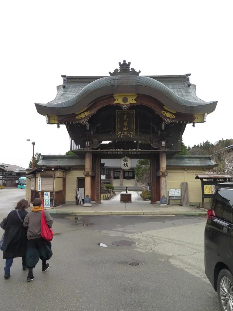
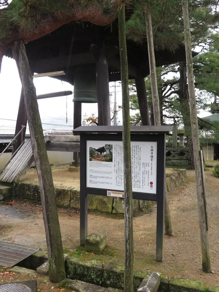
From Hachiman, it was a quick run to Takayama Betsuin Shoren-ji Temple 高山別院照蓮寺, Point 10. Then a dash up the nearby hill to snap a photo of the Sakura Bell Gate for the Unryu-ji Temple 雲龍寺鐘桜門, Point 21. A rough stair climb up to Higashiyama Hakusan Shrine 東山白山神社, Point 42. And then back down to the Bell Tower of Daiou-ji Temple 大雄寺鐘堂, Point 20. Some time was wasted getting the photo to match correctly.
10 → 21 → 42 → 20 // (+93 points / 538 total)
The time was 2:20pm with 2 quick close locations over the road, and then library real quick before finishing.
I thought I had a pretty good idea where to find points 11 and 19, but as I marched up the hill, I found nothing. I ran around looking for the stone lantern in 19, and then looking for the wooden sign in 11. I probably wasted 5 minutes and some energy before finding some nearby signs and looking at where I was supposed to go.
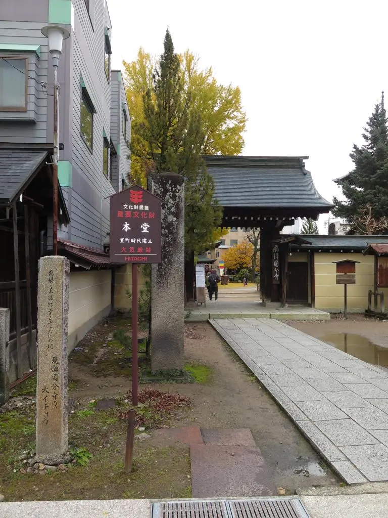
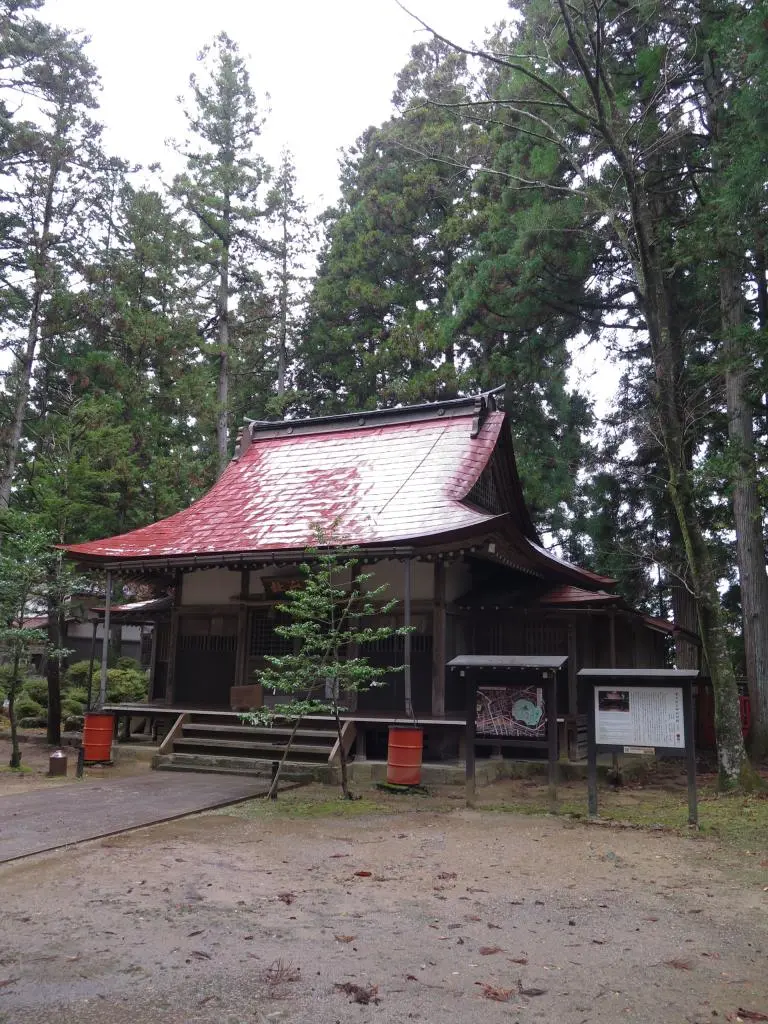
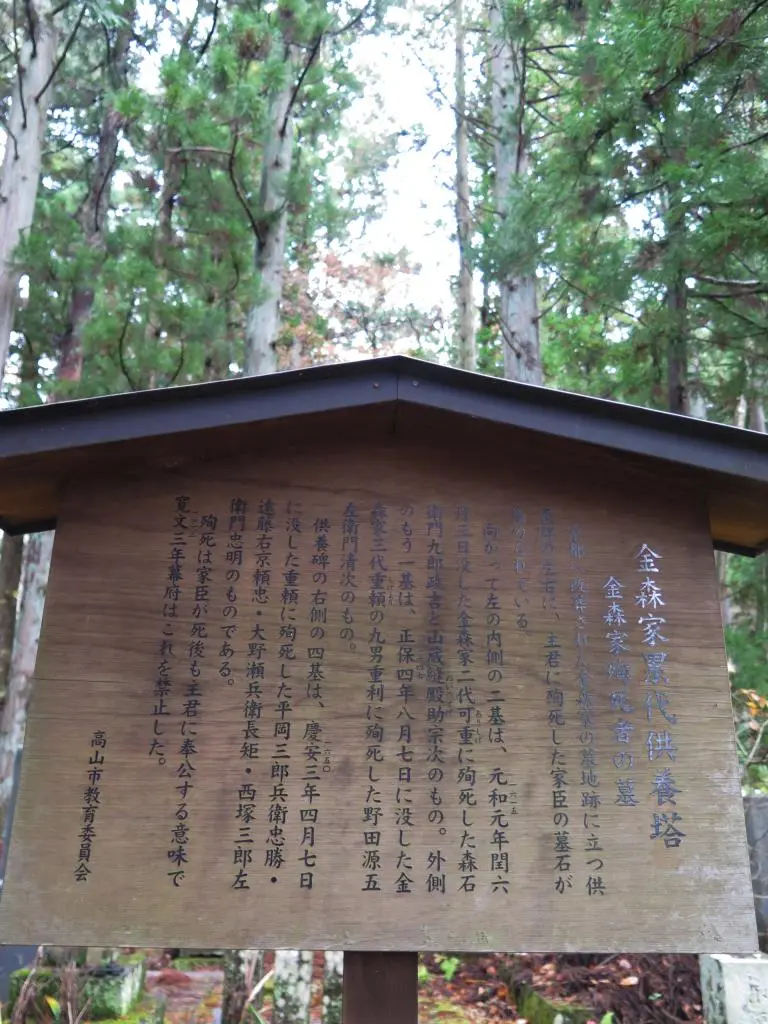
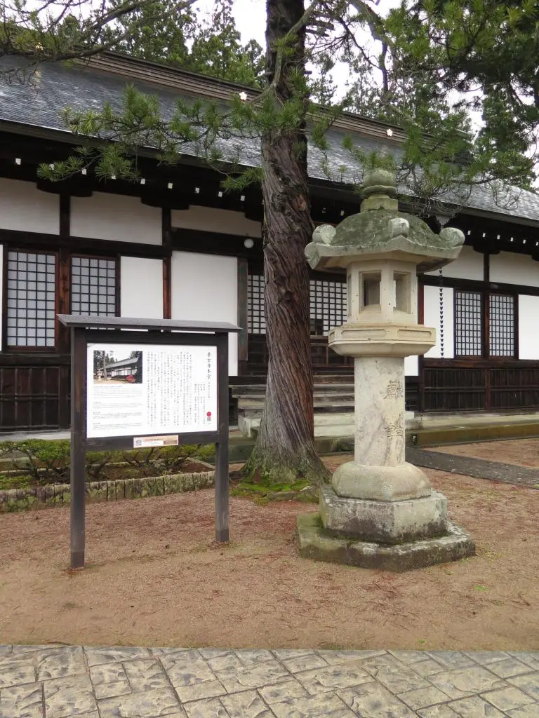
Point 11 is the grave site of Kanamori, 金森家の墓跡 and there were signs pointing to the location within the graveyard. I had finally found it. Then, taking this dirt path behind the Temple led me to the lantern I was looking for, the front of Sogen-ji Temple 素玄寺本堂, Point 19.
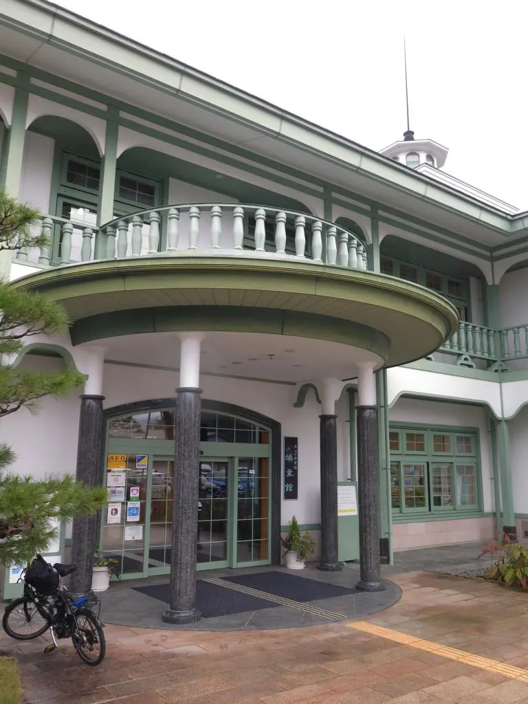
It was 2:30pm, but it felt a lot later. After being tired from running around all afternoon, I felt like I was done. I hadn't planned on going anywhere else, anyway, so it was a quick stop at the library, Kanshoukan 煥章館, Point 5, and then back to the museum.
11 → 19 → 5 // (+35 points / 573 total)
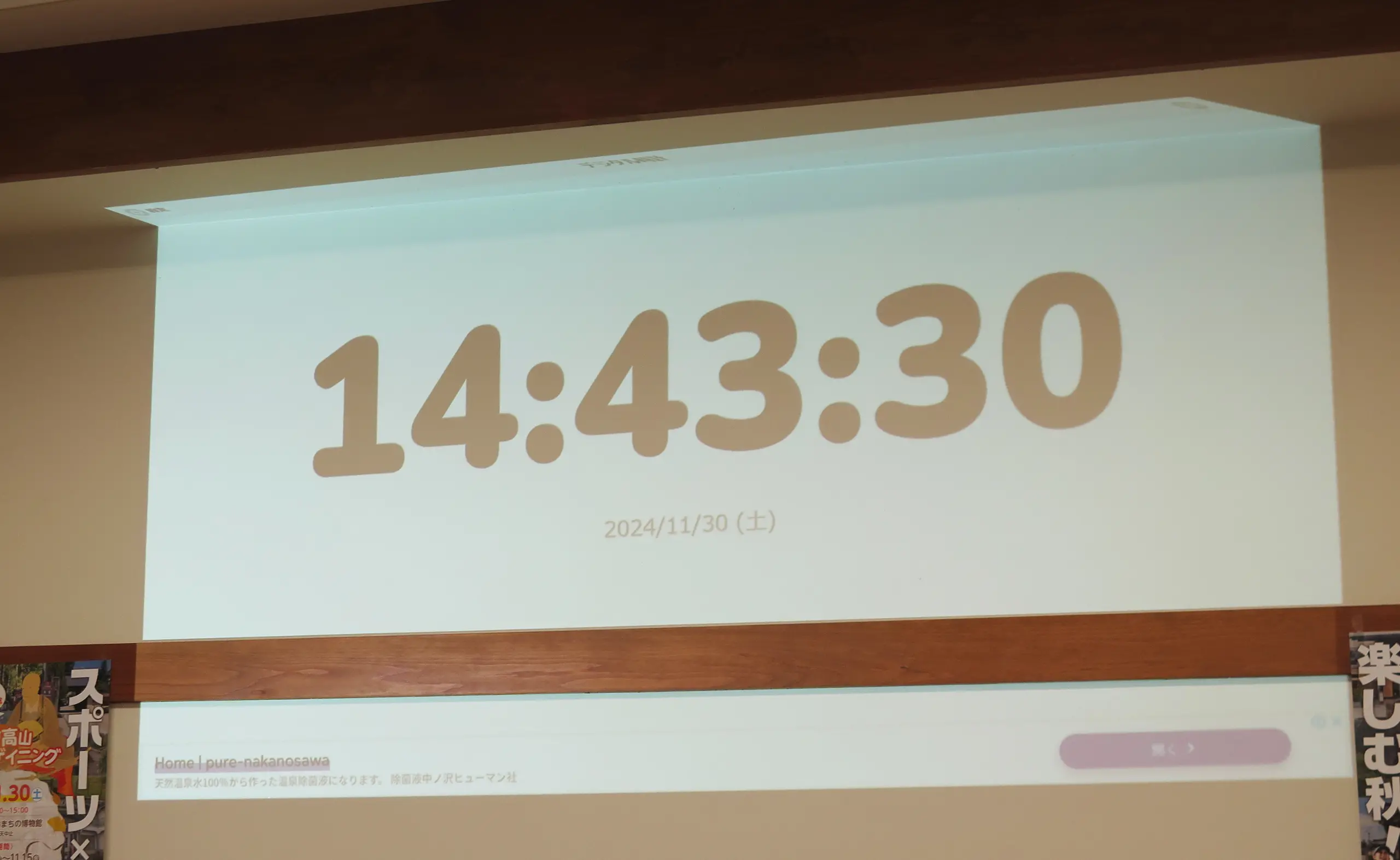
I arrived back to base with 17 minutes left, cold and tired. 17 minutes is a lot of time, but there wasn't anything near enough to make a 17-minute round trip. I was done. I thought I did pretty well, though. I captured a ton of checkpoints.
Once you returned, you are given a Score Card, and you start tabulating your points. Some of the judges were watching me because I was one of the only ones back, but scoring was almost all done on an individual basis. People wrote down there own stuff, and posted their sheet on the wall without anyone double-checking anything.
At this point, I noticed and began understanding a few additional rules. You could receive up 20 bonus points for each photo of the word Kanamori Nagachika 金森長近 you took in addition to the checkpoints. Each photo would give 1 bonus point. Additionally, if you arrived late, you would be deducted 30 points every minute, up to 30 minutes.
I probably ran past a few places with the Kanamori Nagachika written somewhere. The statue in the park more than likely had his name written on it. The Castle Ruins and probably a few other places with a written description may have had his name, too. You may not think a few bonus points would be helpful, but it could've made a huge difference.
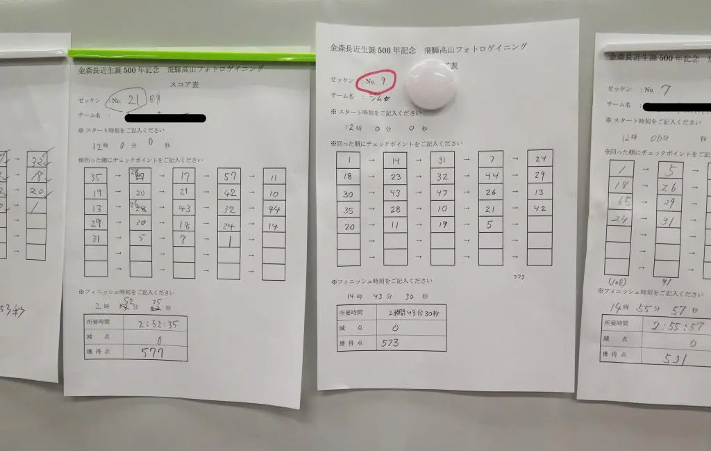
So, my total was 573 points from all the tabulations above.
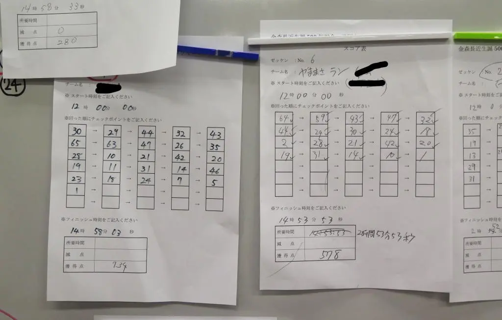
At the beginning of the race, this one guy bolted off west to Matsukura. I saw him later as I was coming back from Hida no Sato. He still had a ton of energy 2 hours into the event. After seeing his score card, not only did he grab both Matsukura locations, but he also ran north up the hill by the highway to grab those distant points, too. Absolutely incredible. His final score was 734 points. Far beyond mine. This is a pro score.
Other solos began posting their scores. 577 points. Damn! So close. Bumped down to third by only 4 points. Then, 531 points. Phew, not last. Then, 578 points. Ah dang. Now, I'm bumped out of the top 3, again by only a few points. Last, was 353 points.
I missed second place by only 6 points! (Or 5 points for a tie)
Those couple of bonus points really could've made a difference. Pushing out to Point 46 would've made a huge difference. Also, not trying to take the perfect picture would've made a difference, too. I spent about 5-10 minutes at some locations trying to get the best photo. That bit of extra time could've given me more confidence about running off to 46.
Also, I could've skipped other places downtown in lieu of grabbing the really high-point locations. By hitting the far away, high-point totals first, once I returned downtown, I could've decided whether or not to sacrifice certain spots.
Having gone through the event, I've been thinking a lot about better strategies and how to improve my score.
I really want to try again.
Part of what made this event great was being able to compete on my home turf. I knew exactly where almost all the locations were by having native knowledge of the area. I've already been to all these places on my own by jogging, running other marathons, or playing Pokemon Go. Prior to the event, I had a good idea where a lot of these locations would be, so I had a good mental image of what I would do.
At the event, they gave out a flyer with some more events. I have no idea if they'll be run the same way as this one, but I'm game to try.
I just need to find one that's (1) allows solo participants, (2) not too far away, and (3) not too long. Unless I start doing more training, I think 3 hours is my limit.
Overall, I loved this event so much. This is my new favorite sport. :)
