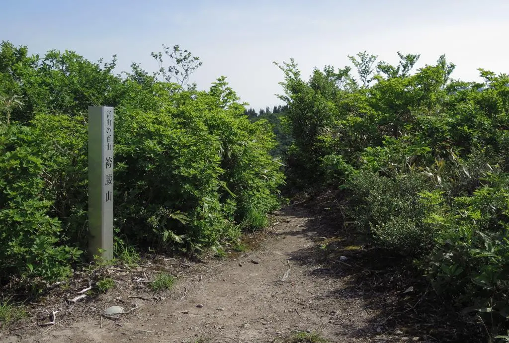
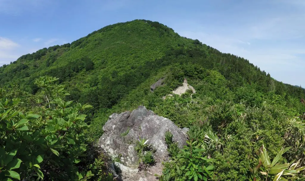
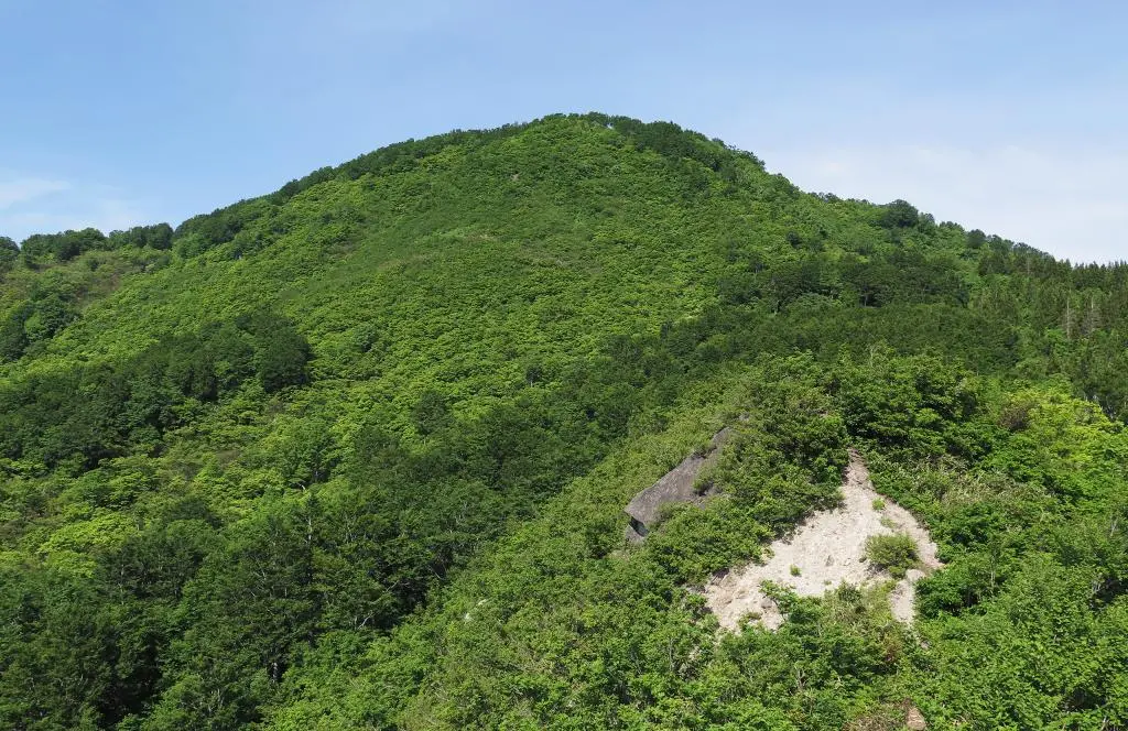
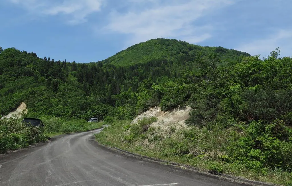
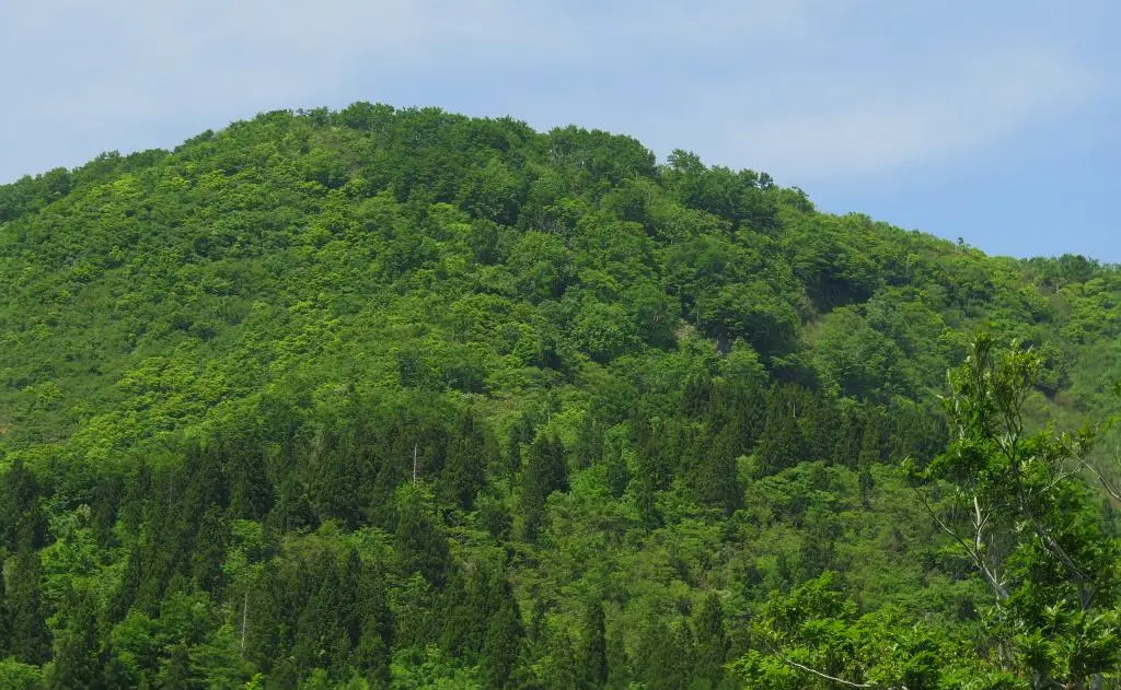
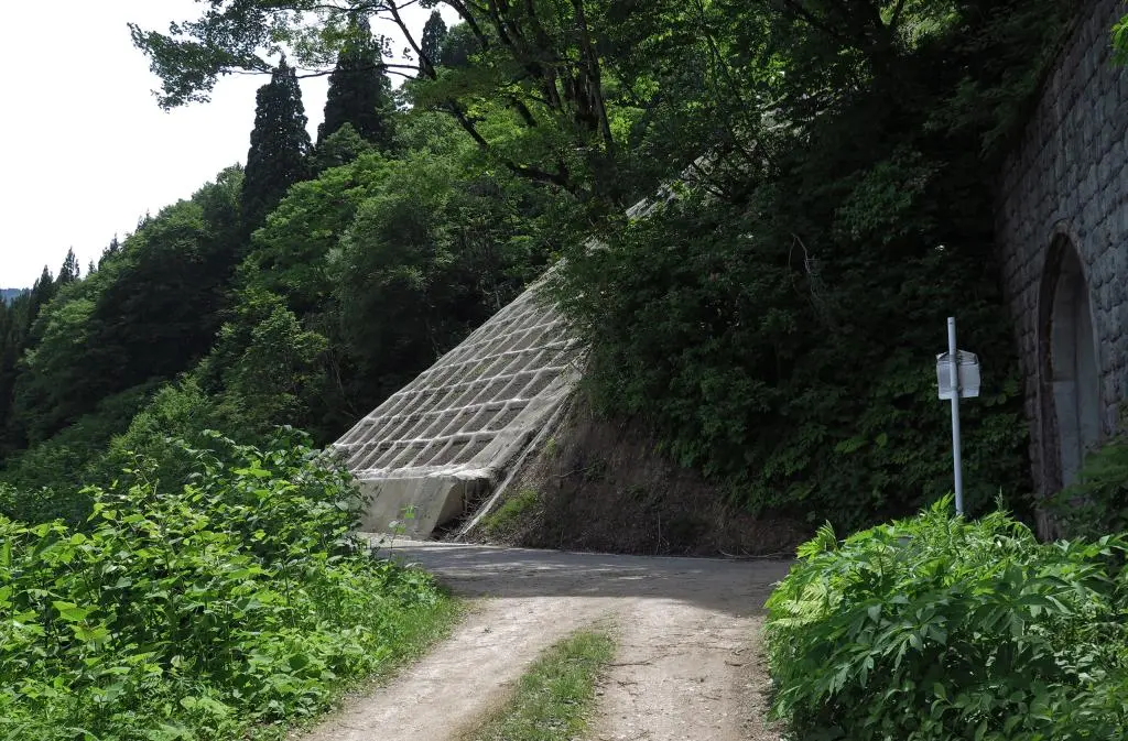
Hakamagoshiyama is a mountain in southwestern Toyama. It's a pretty short climb, and more seasoned hikers use it as the first stop of a much longer hike going to the peaks bordering Toyama and Ishikawa prefectures.
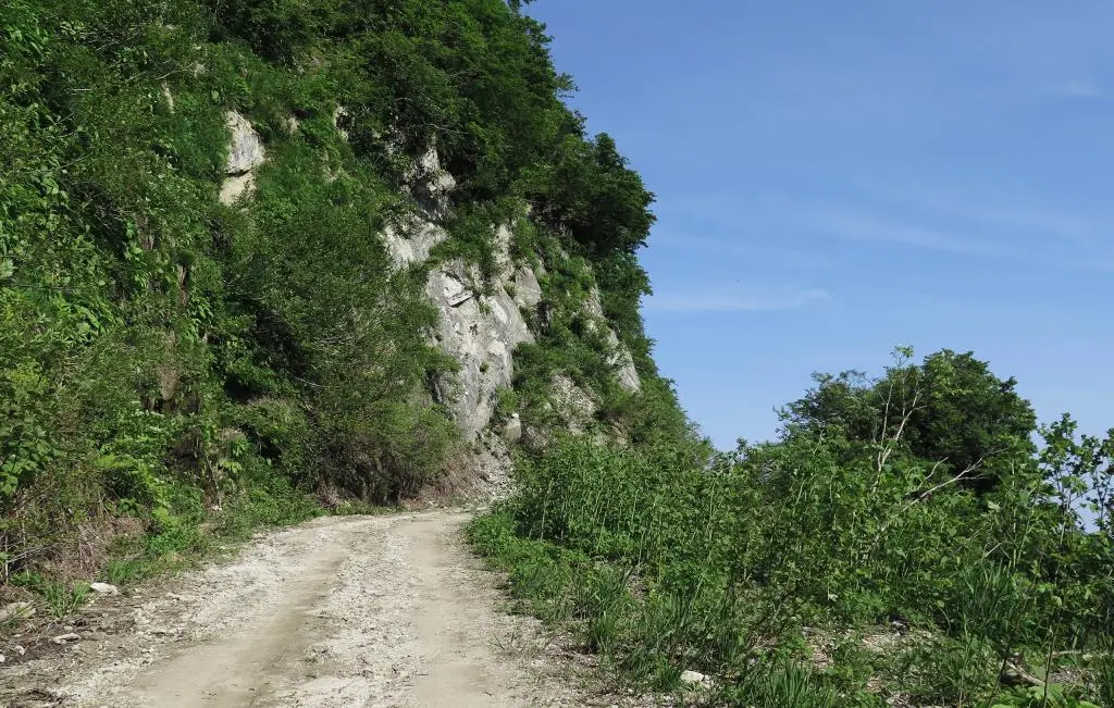
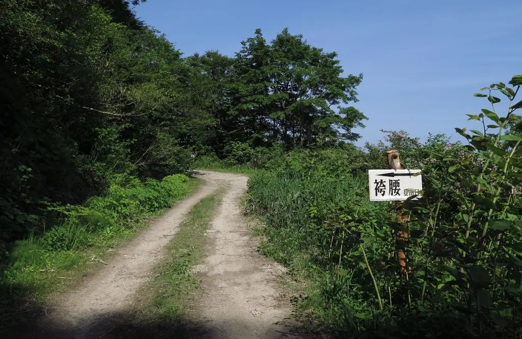
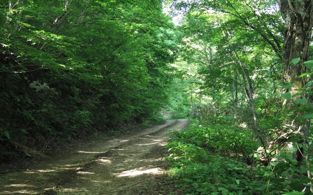
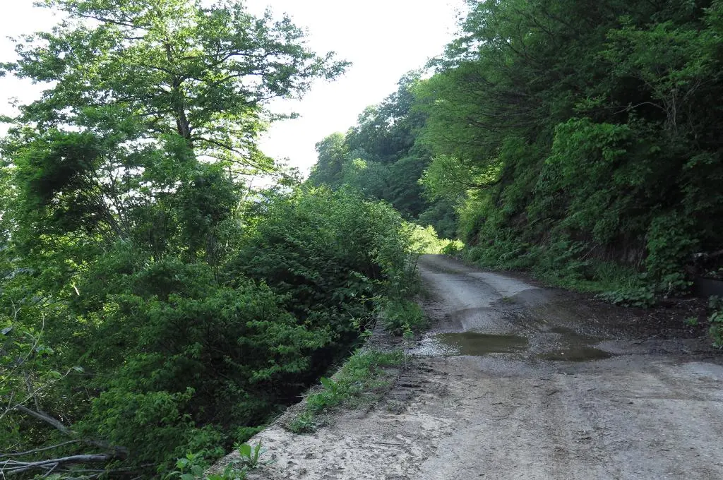
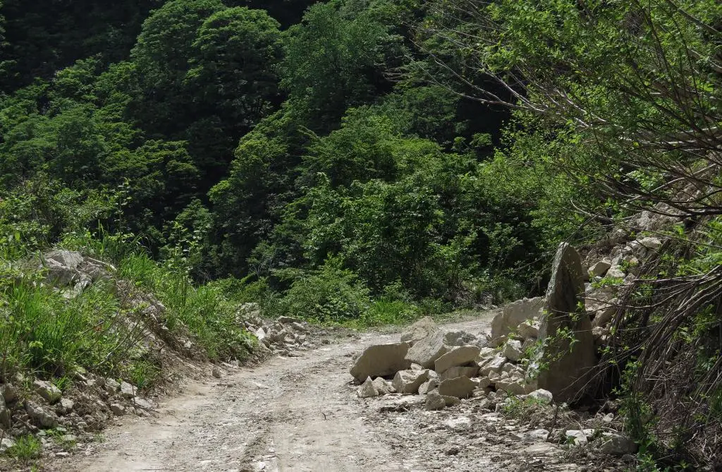
A few weeks ago, I planned to explore Hosoo Pass and the various ruins along that road. The trailhead for Hakamagoshiyama was in the opposite direction after reaching the Hosoo Pass Tunnel. The entirity of the road for Hosoo Pass was paved, but after turning off for the mountain, it was all rock and dirt.
I stopped a few times to clear some rocks from the road. I also had to move to the side to let a car go through. I guess some other folks just drive over the rocks in the road.
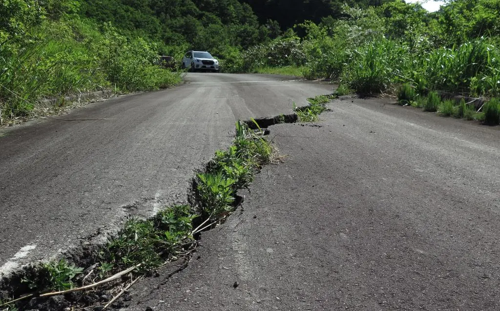
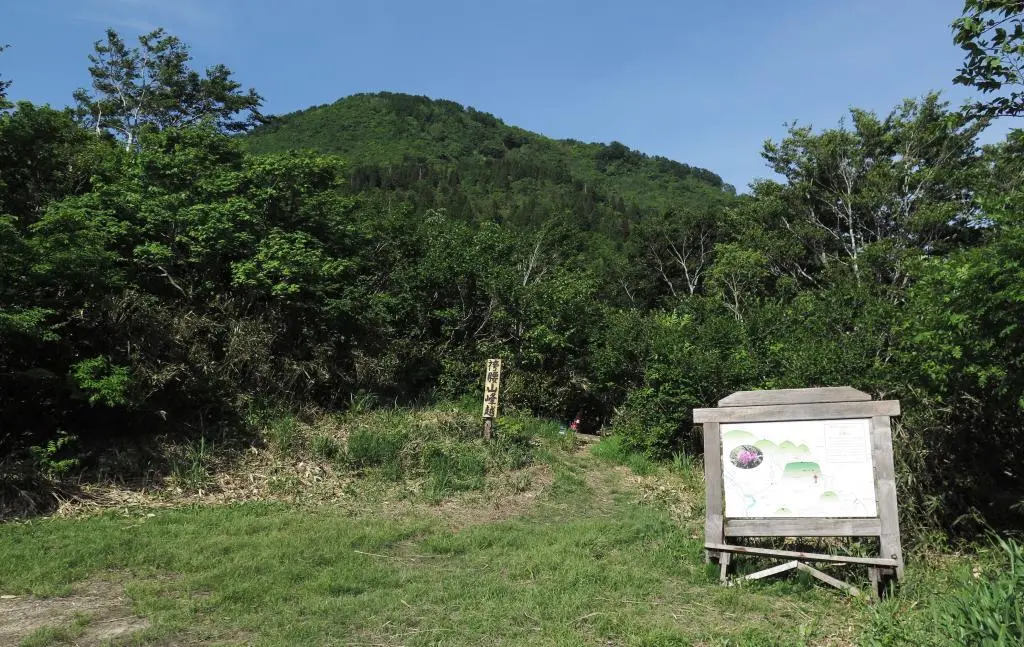
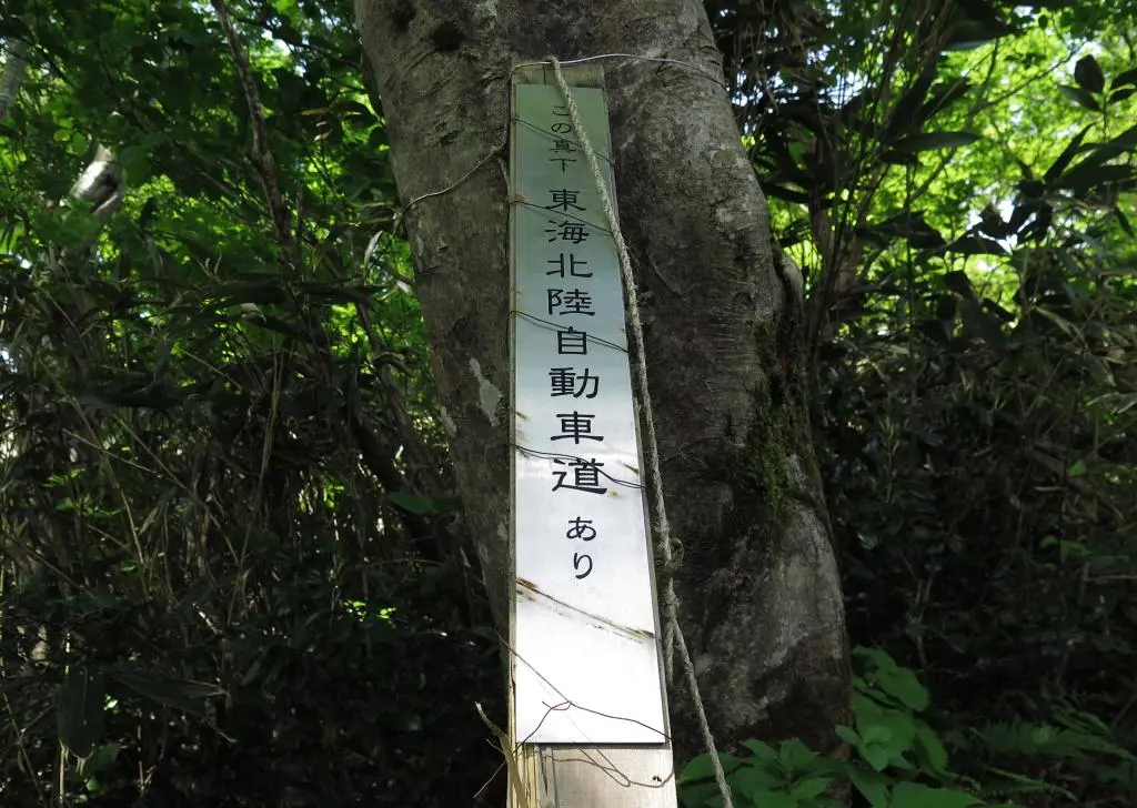
The trailhead for the hike was clearly marked, but I parked about 100 meters away from the entrance because of a crack in the road. It was probably safe to drive over, but a few other cars were parked away from the fissure, so I parked back there, too.
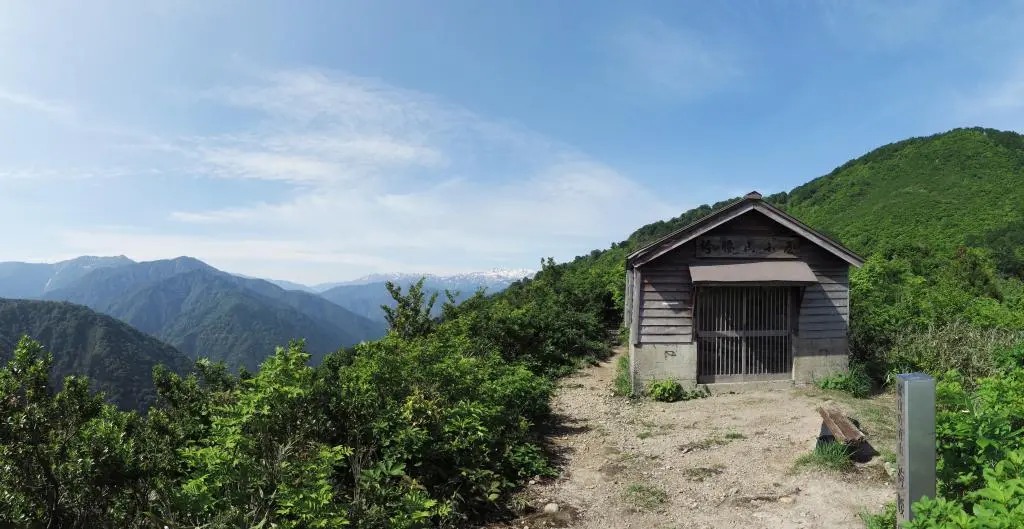
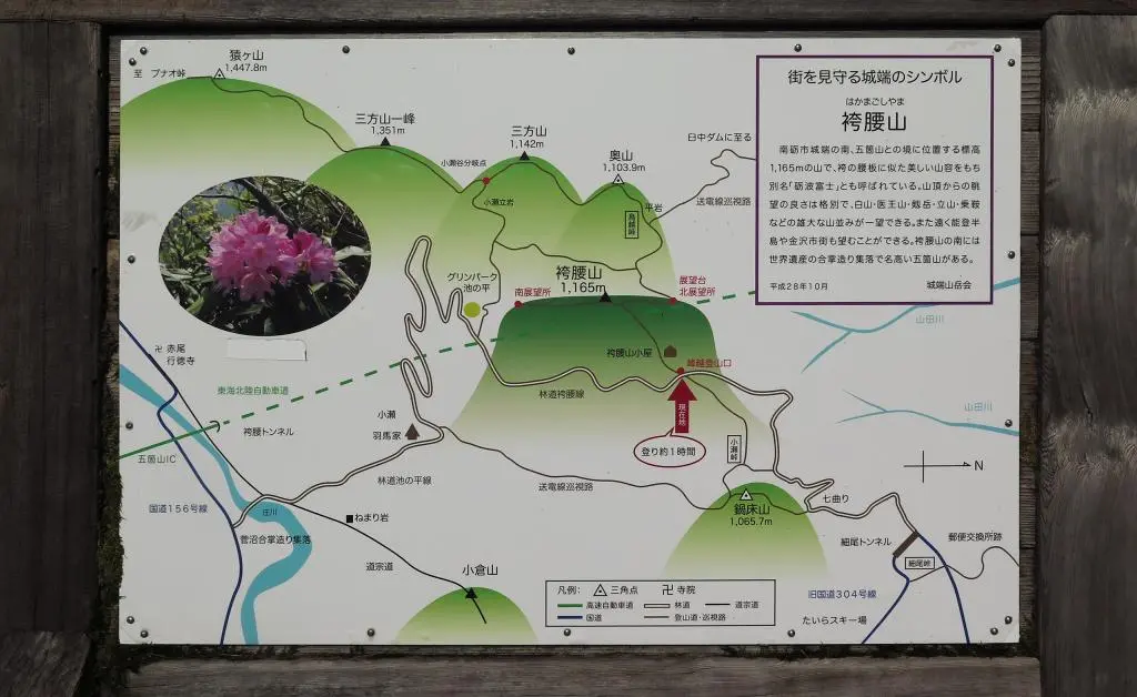
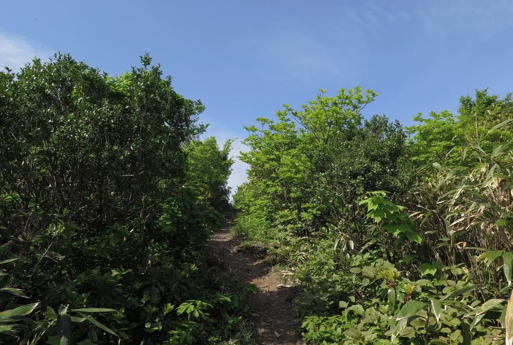
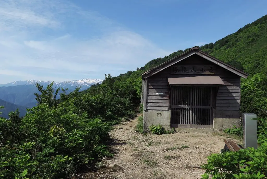
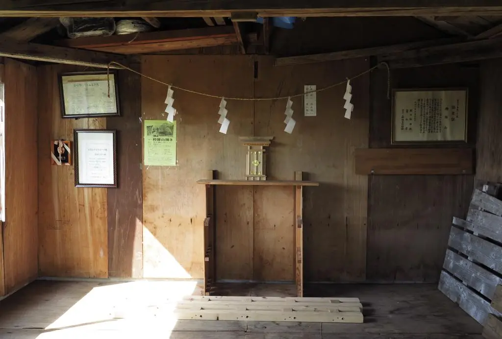
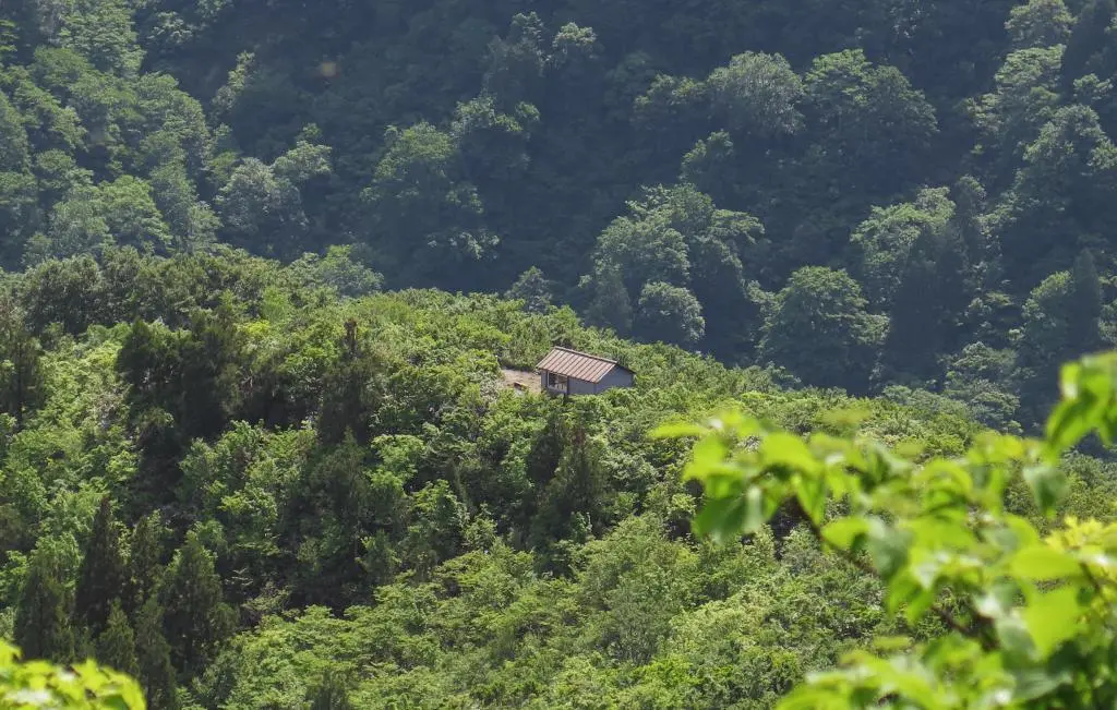
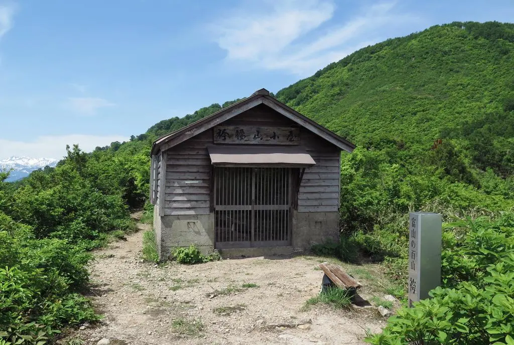
Hiking to the peak of Hakamagoshiyama was pretty rough. Immediately from the start, the path went nearly straight up. This first part of the hike wasn't too bad, as steps were carved and placed into the ground. The trees gave way to a clear sky above and when reaching the top of the stairs, a rest hut was at the top of the first peak.
It was pretty early in the hike for a rest, but the hut was meant more for hikers in the winter starting from the villages at the base of the mountains. There is too much snow in the winter to be plowed, so anyone hiking these mountains would spend more than a day doing so.
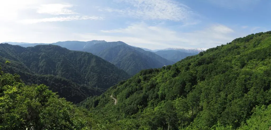
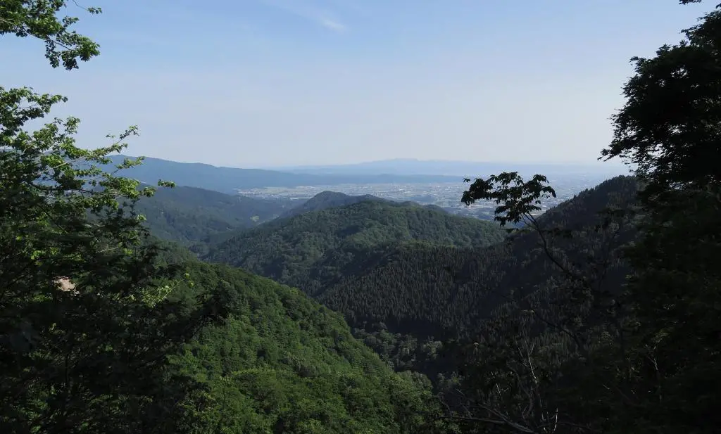
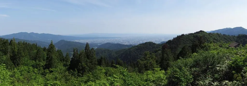
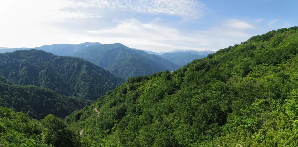
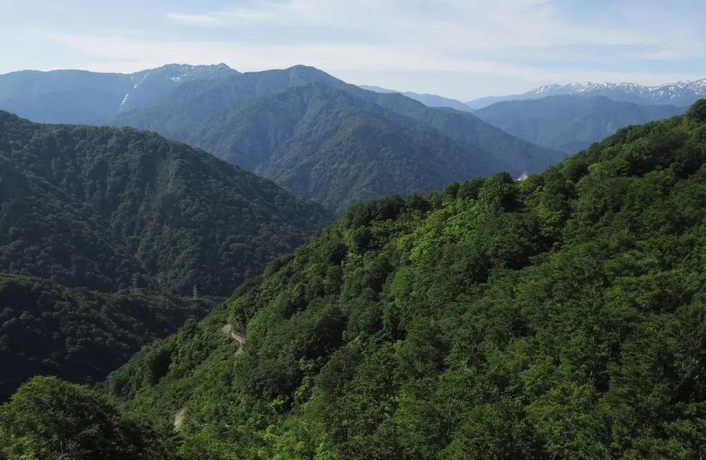
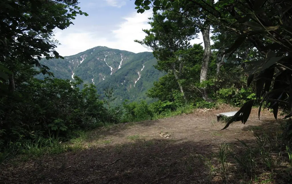
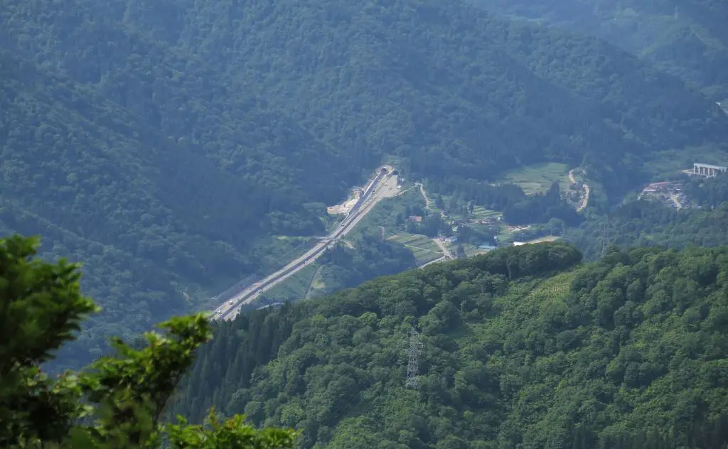
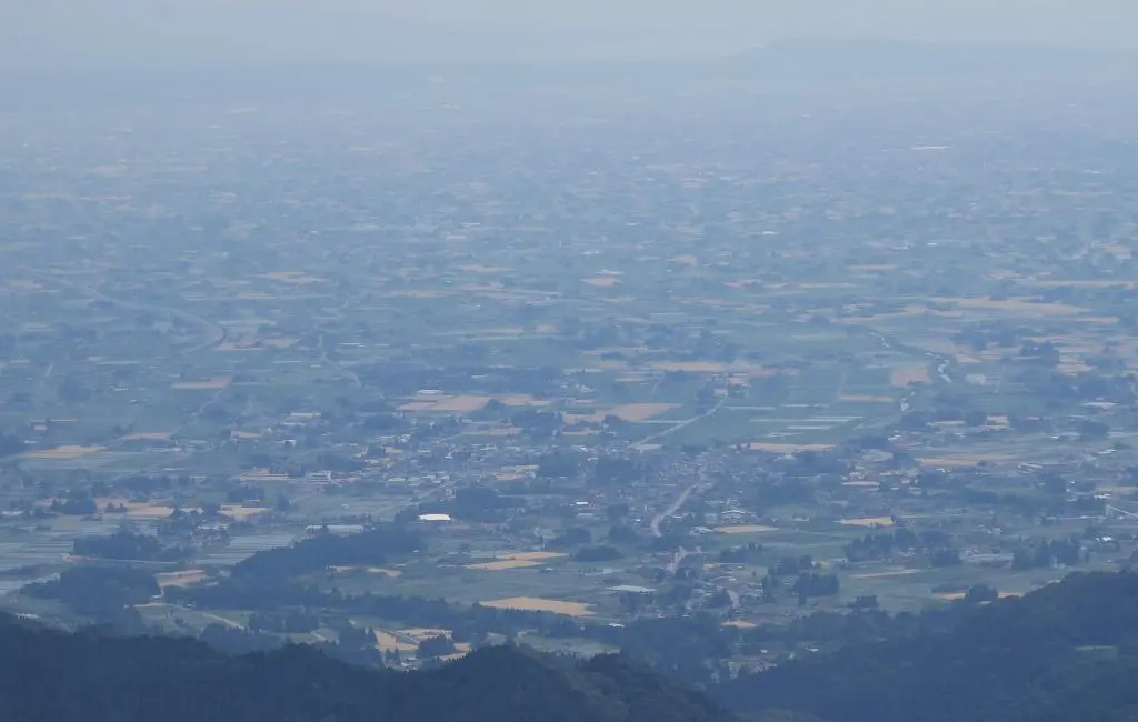
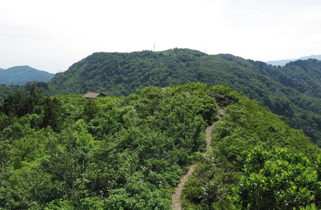
Moving further to the edge of this peak, you could see most of the distance someone would have to travel from below.
This was about 300 or 400 meters into the hike so far. There was still another 800 meters to go. This first bit was tough, but the stairs made it pretty easy. The rest of the hike had no stairs and most of the hike was far steeper.
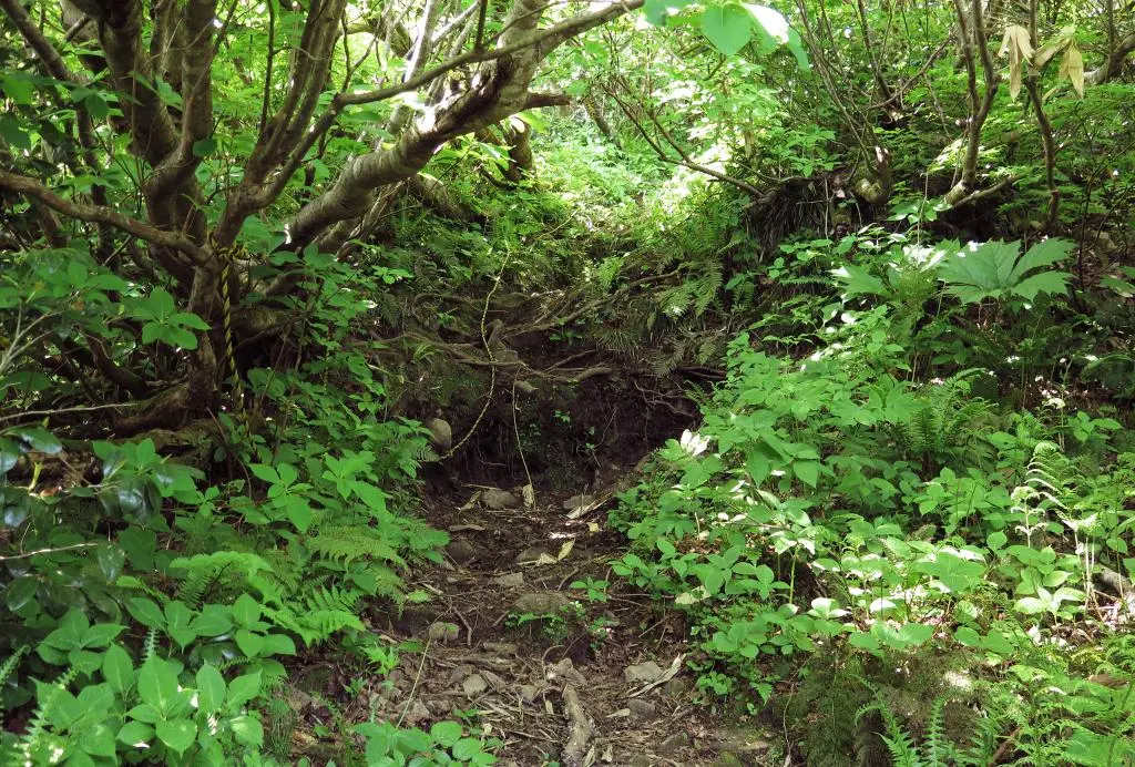
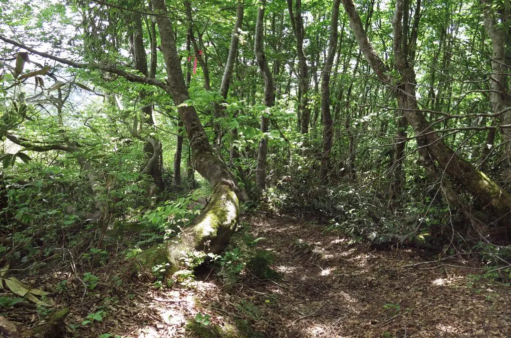
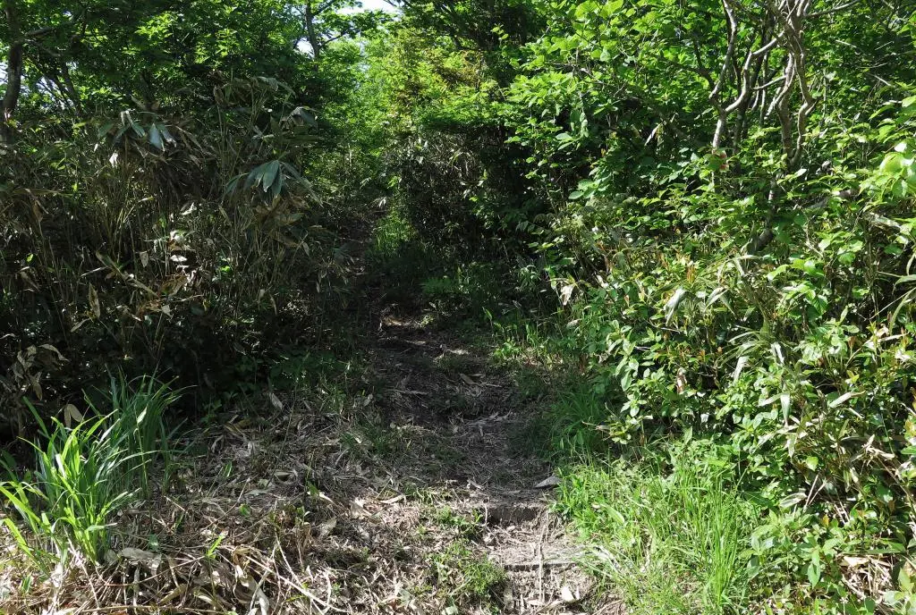
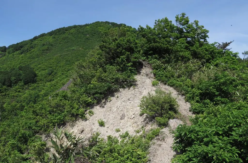
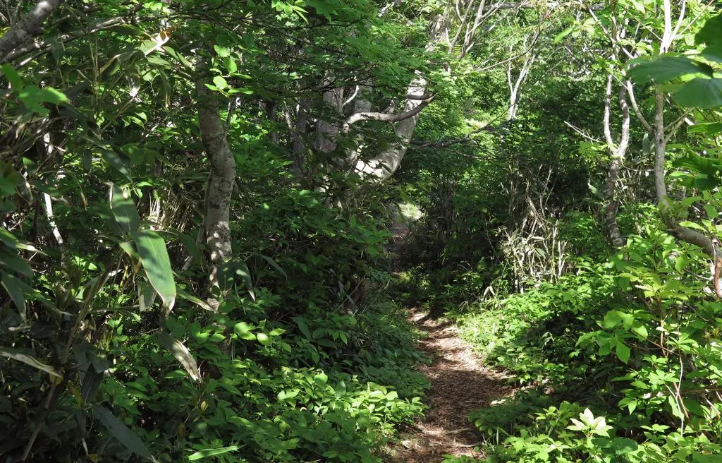
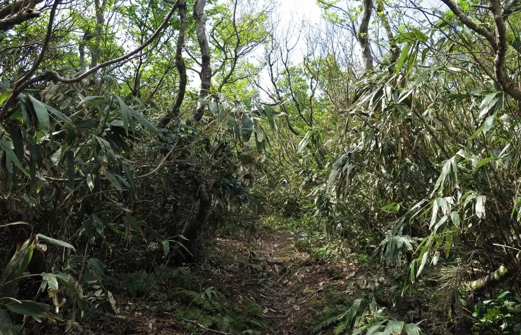
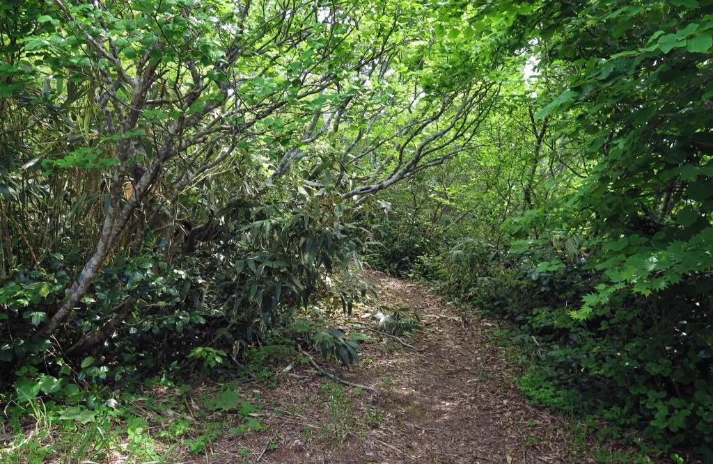
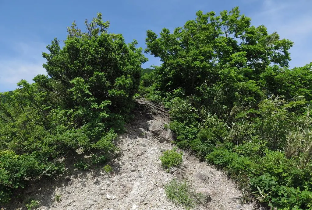
Sometimes the hike was pull up to a wall of dirt and roots with some ropes attached to trees above. I can usually pull up steep ascents on hikes by myself, but these were far steeper than usual. I actually had to use the ropes. (And the ropes were absolutely necessary going back down.)
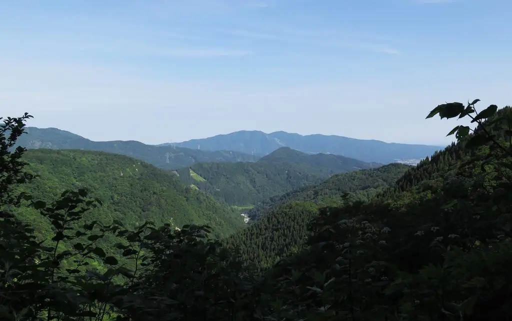
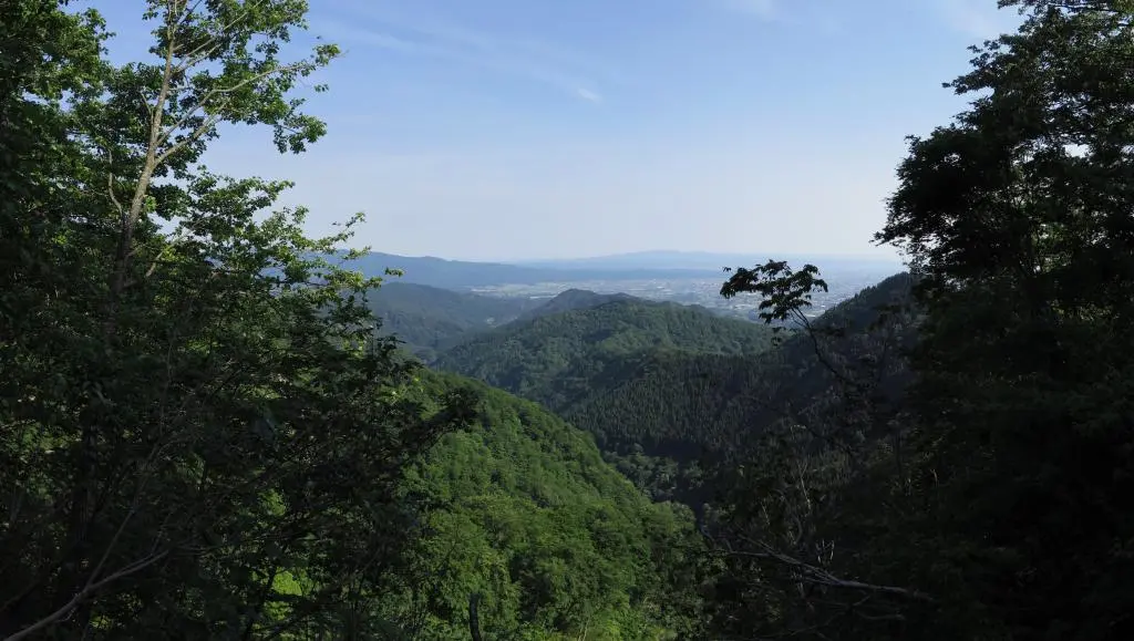
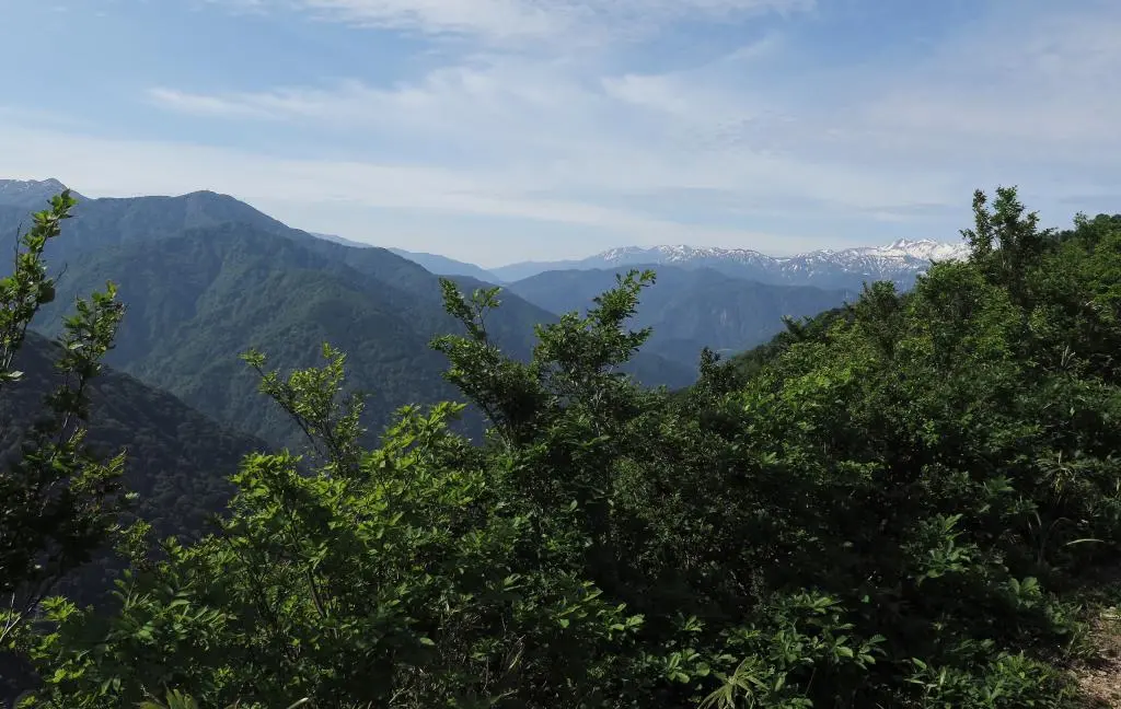
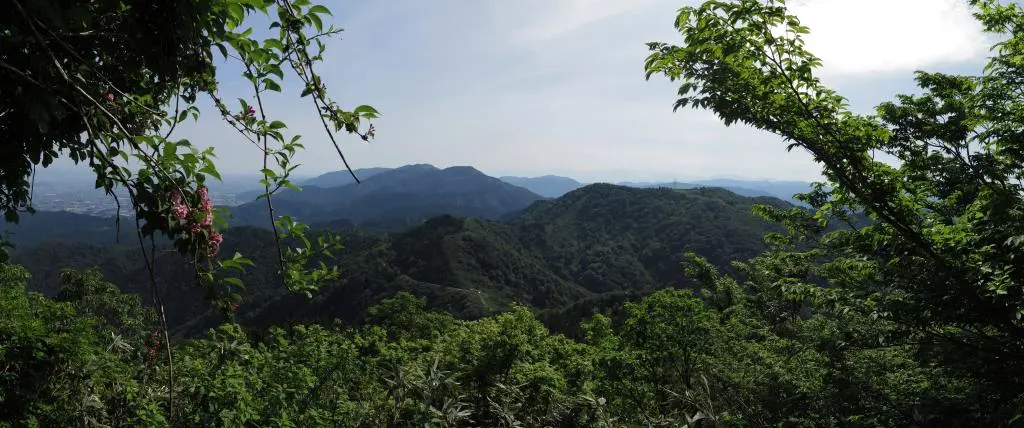
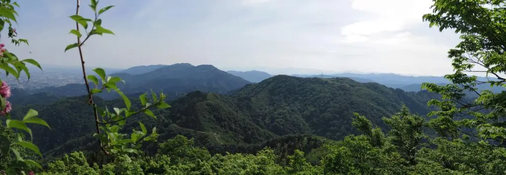
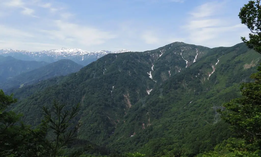
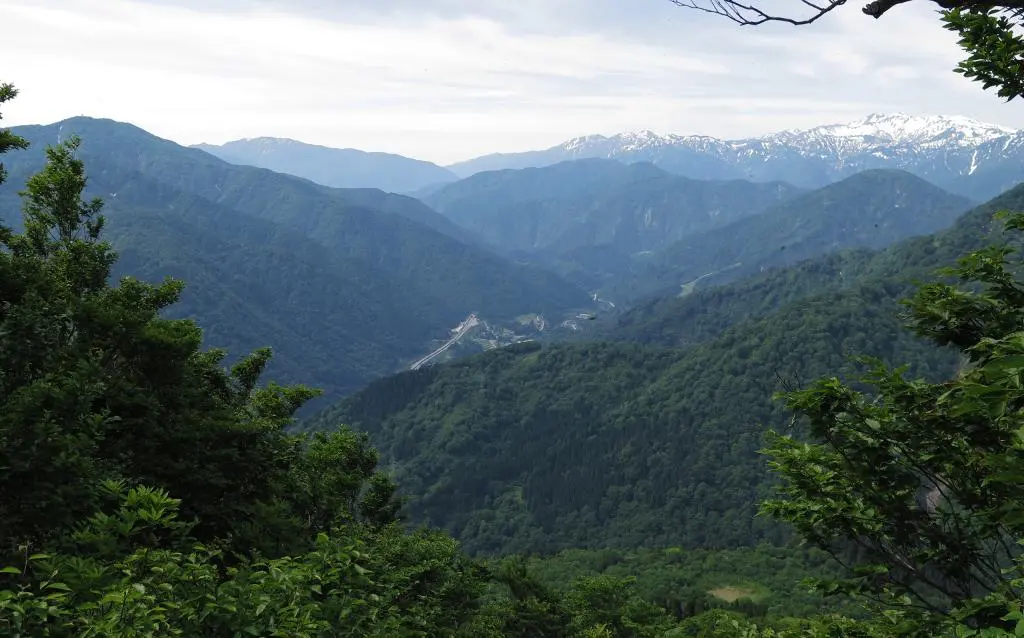
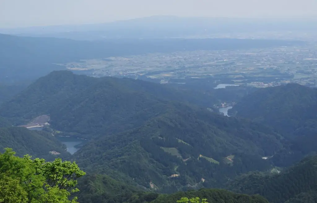
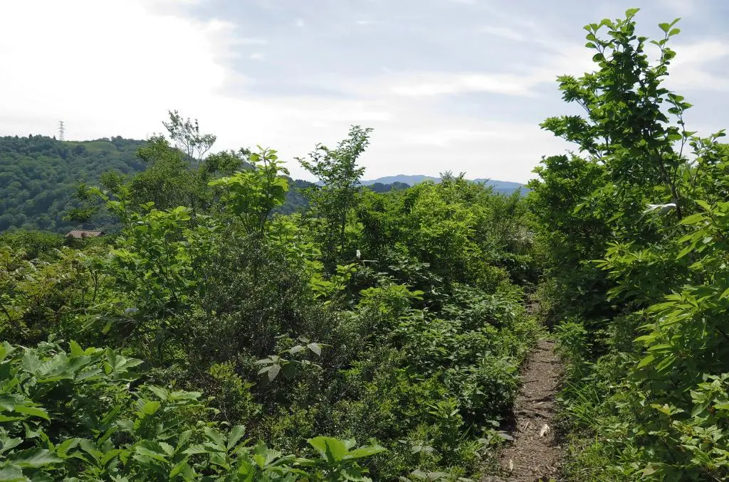
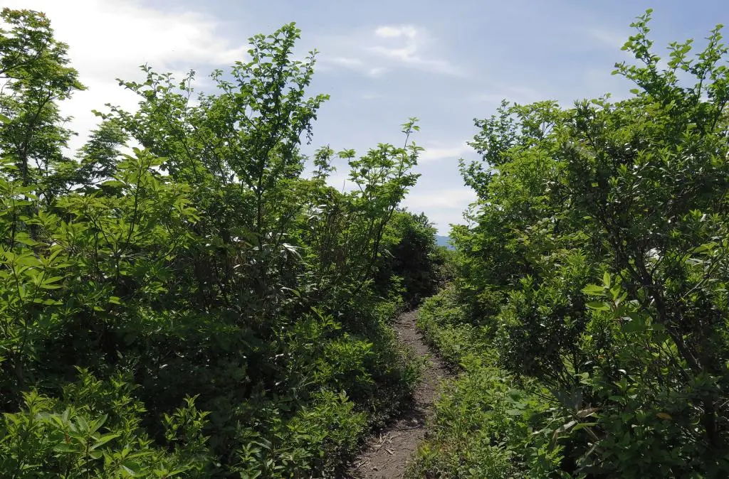
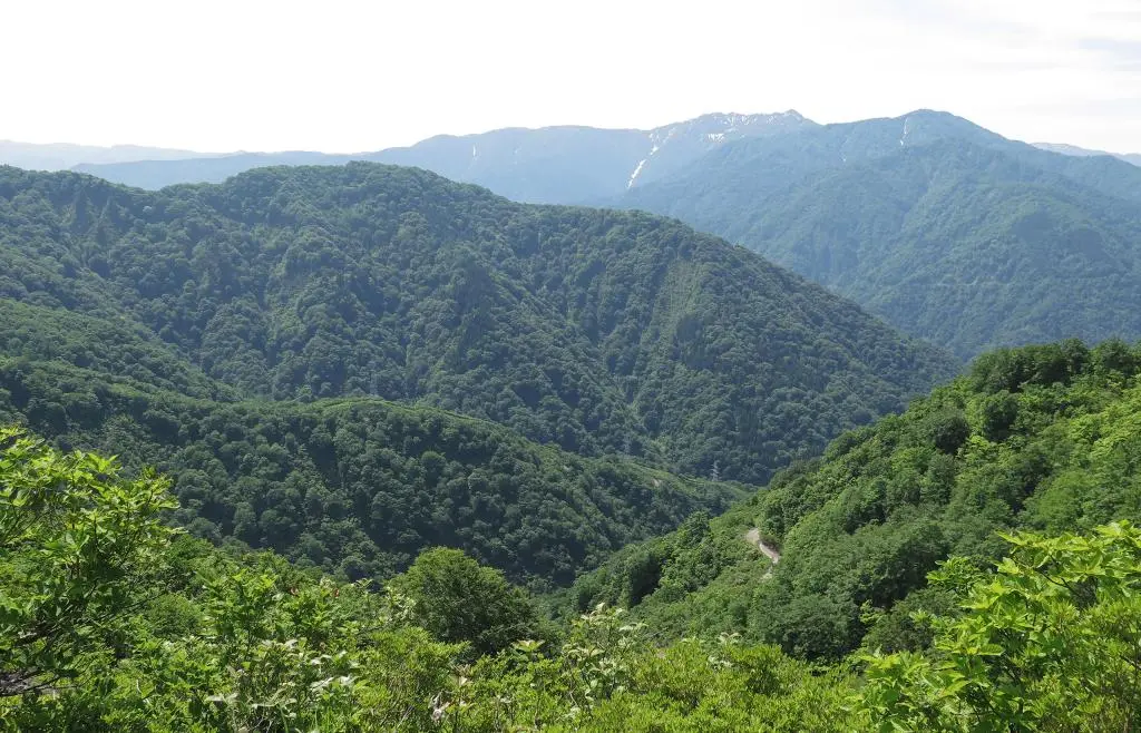
The trail went straight up in parts, and then snaked around some small ridges of the mountain. Occassionally, the trees would open up giving a beautiful view of all the mountains to the east along with a reminder of how far you've gone.
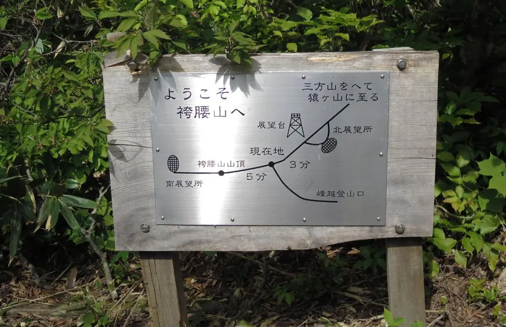
It felt like the hike took a while. But, in reality, it only took about 30 minutes from the rest hut to reach the peak. The peak forked into two separate observation points.
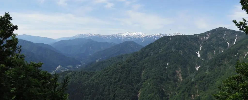
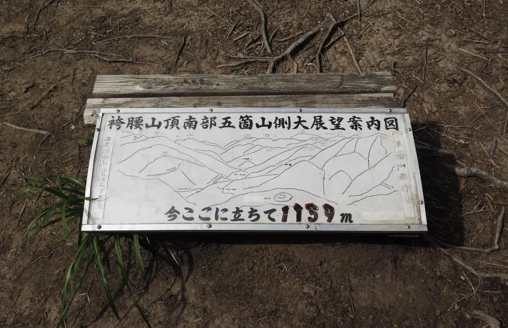
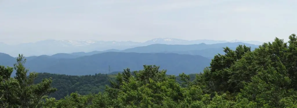
Turning left at the fork and going south, you could see everything to the southwest of Hakamagoshiyama. There was the highway exit for Suganuma Gokayama Village, the exit I initially took to get here. Above the village, the highest peak was Hakusan 白山, which bordered Gifu and Fukui prefectures. Closer to me were the mountains Ogasa 大笠 and Oizuru 笈ヶ岳. Mt. Oizuru was the border of three prefectures: Gifu, Fukui, and Toyama.
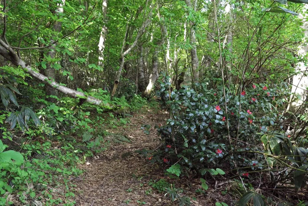
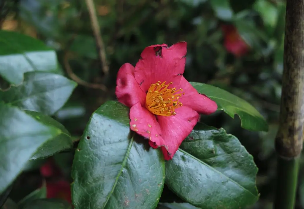
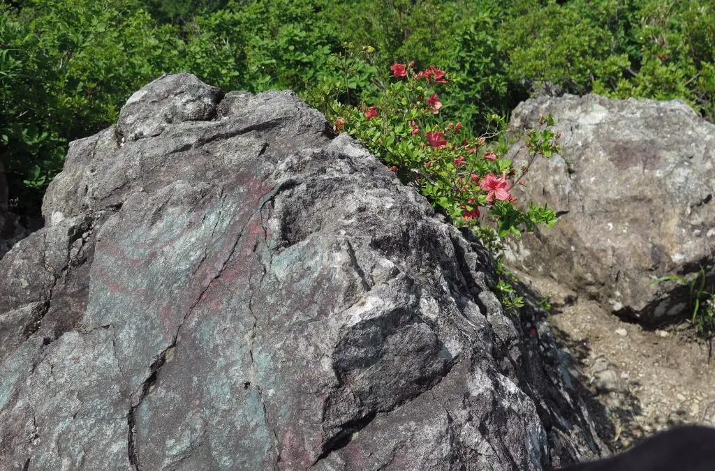
The observation point had a lot of bees and large flies buzzing around. Apparently two weeks ago, all of the magenta flowers on the mountain were in full bloom. The insects could have been flying around trying to find any remaining ones still open.
I took my photos and moved to the northern observation point.
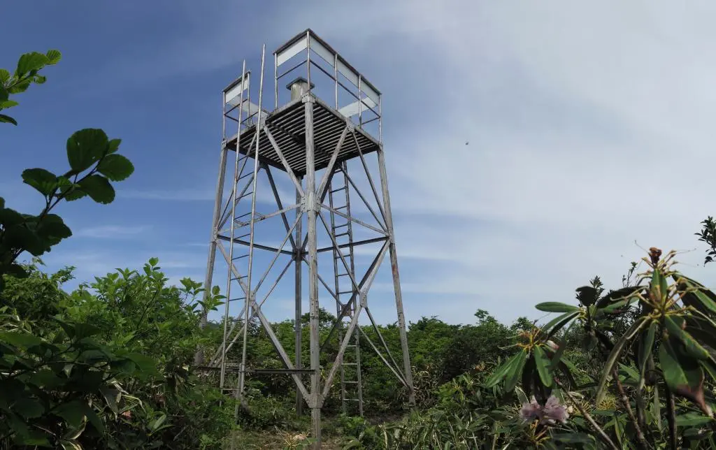
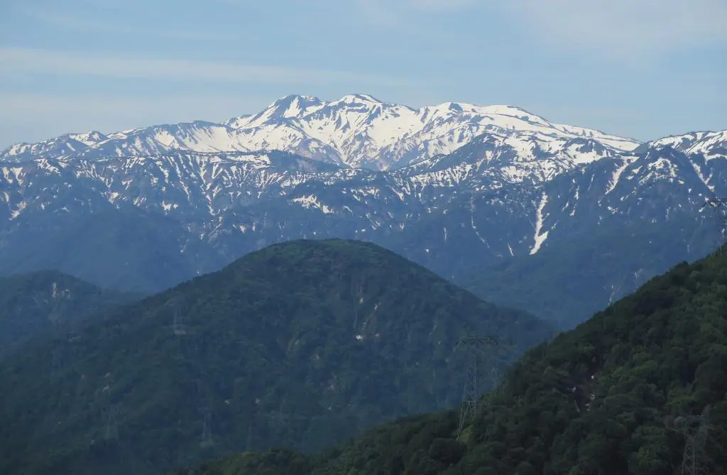
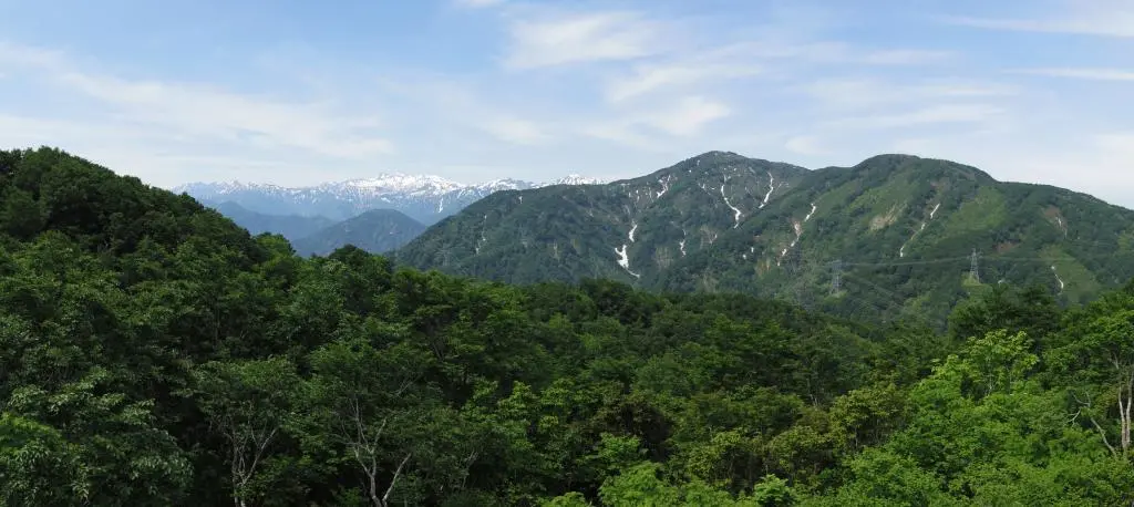
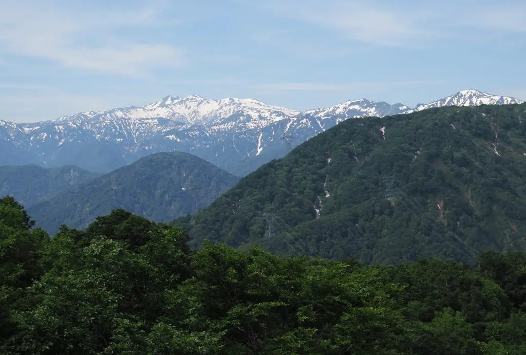
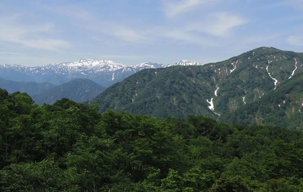
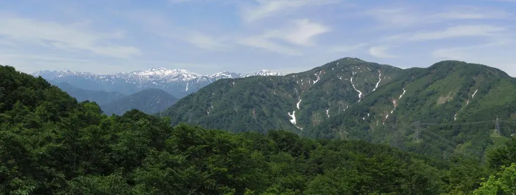
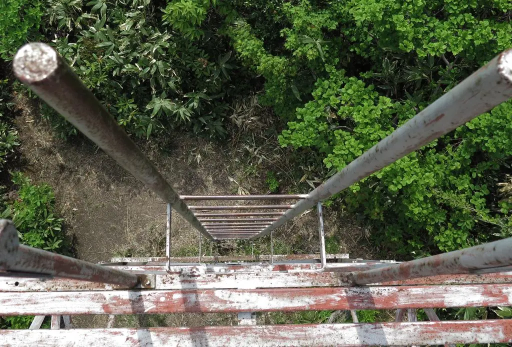
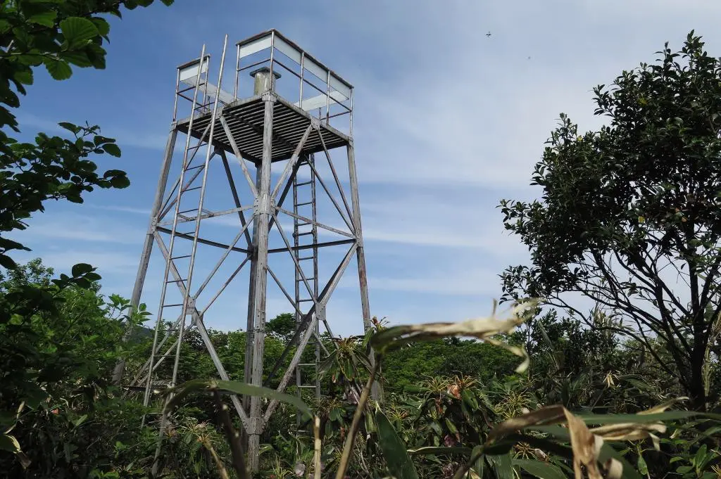
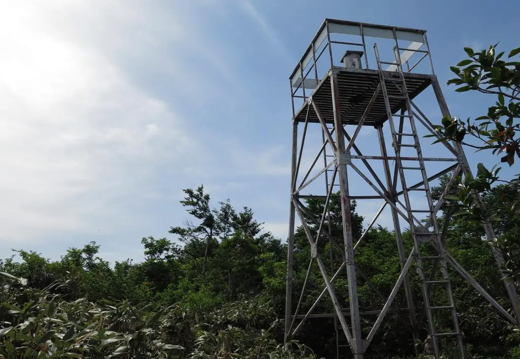
After climbing the ladder to the top of the tower, you had a full 360-degree view of the surrounding mountains. You couldn't see Gokayama anymore, but all the mountains to the south were visible. You could also see all mountains further to the east, too. Mt. Norikura wasn't in view, but I could see Shirakimine, which I hiked 2 years ago.
As I approached the observation tower, someone else was already at the top. A woman who was more than happy to talk to me. I was surprised that I hadn't met anyone yet considering the two other cars at the trailhead. Apparently, for seasoned hikers, Hakamagoshiyama is just the first stop on the hike of these mountains. Past the observation tower, you continue down the opposite side of the mountain and go up the western mountains to eventually arrive at the peak of Mt. Ogasa 大笠. That was too much for what I had planned for today.
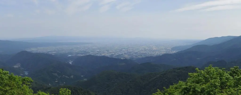
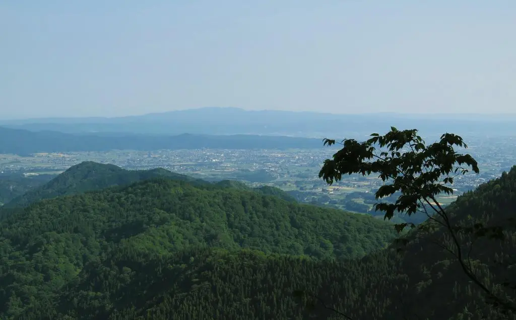
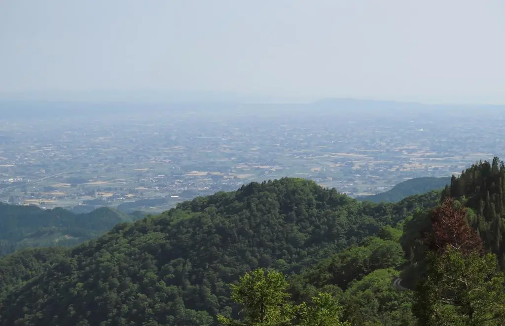
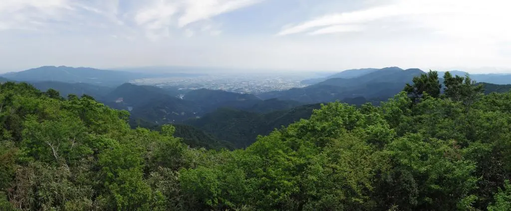
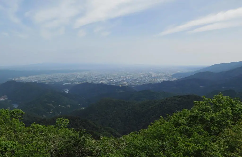
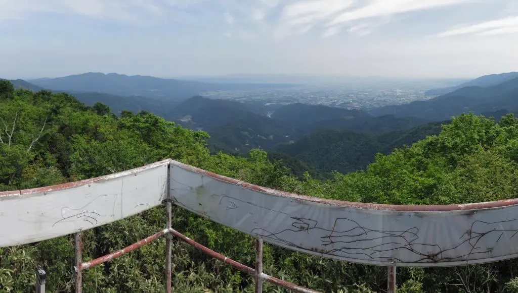
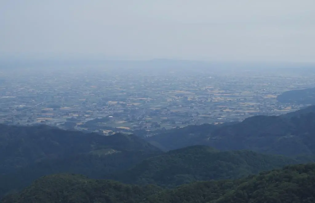
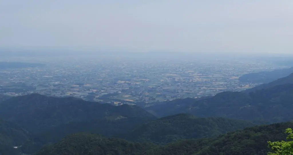
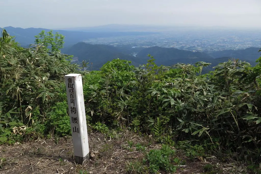
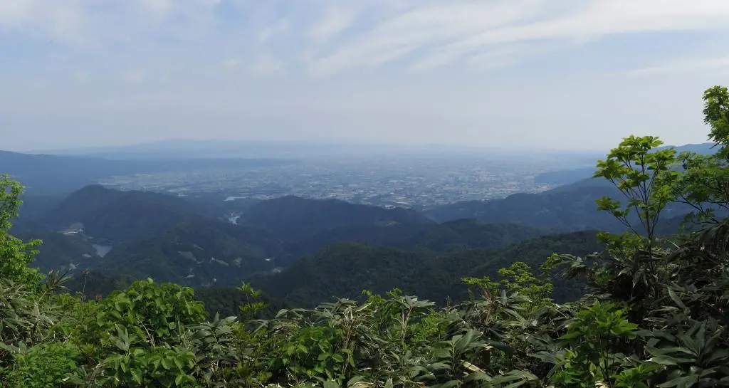
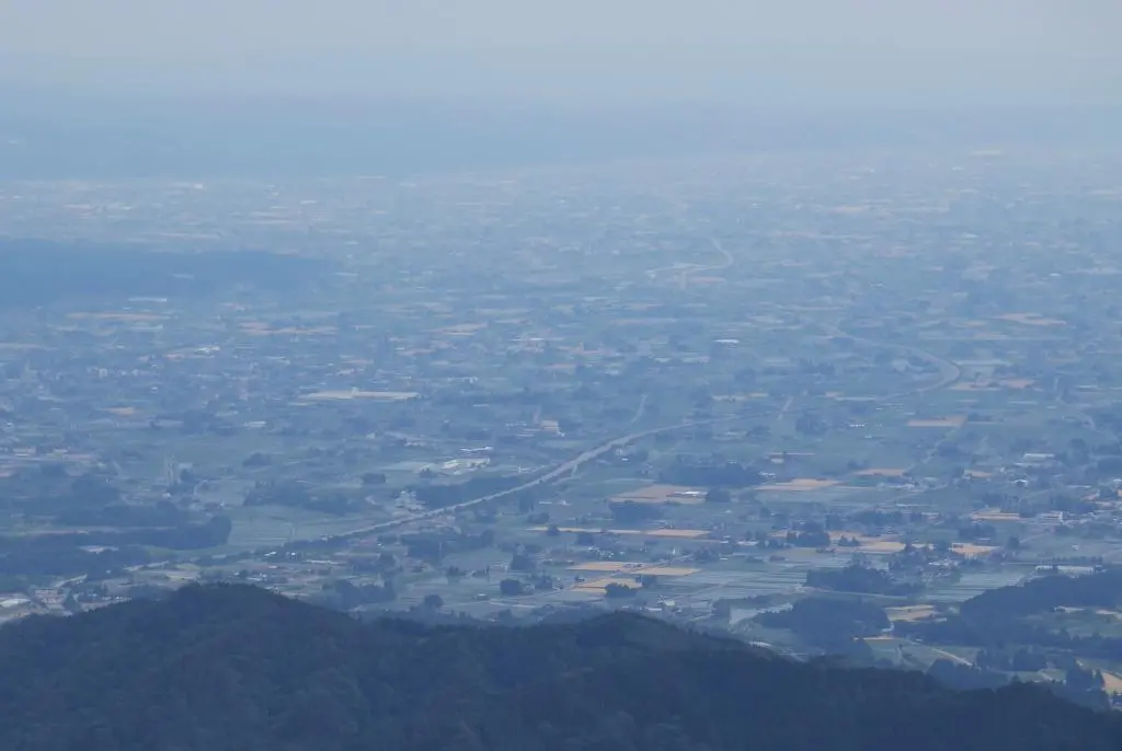
The mountain views were great, but the view to the south was pretty special.
The whole Nanto, Tonami, and Takaoka areas were visible. It wasn't too hot, but the humidity did limit some of the visibility. Apparently, you could also see over the western mountains and view Kanazawa, but I didn't notice it. Maybe I'll come back some day and continue along the western mountain ridges to see that view.
I snapped my photos and moved on. There was more adventure scheduled for today.
Descending mountains is usually the easiest part of the hike, but that wasn't the case when the paths are so steep. I had to constantly hold on to ropes and branches to catch myself from slipping, and I often still slipped anyways.
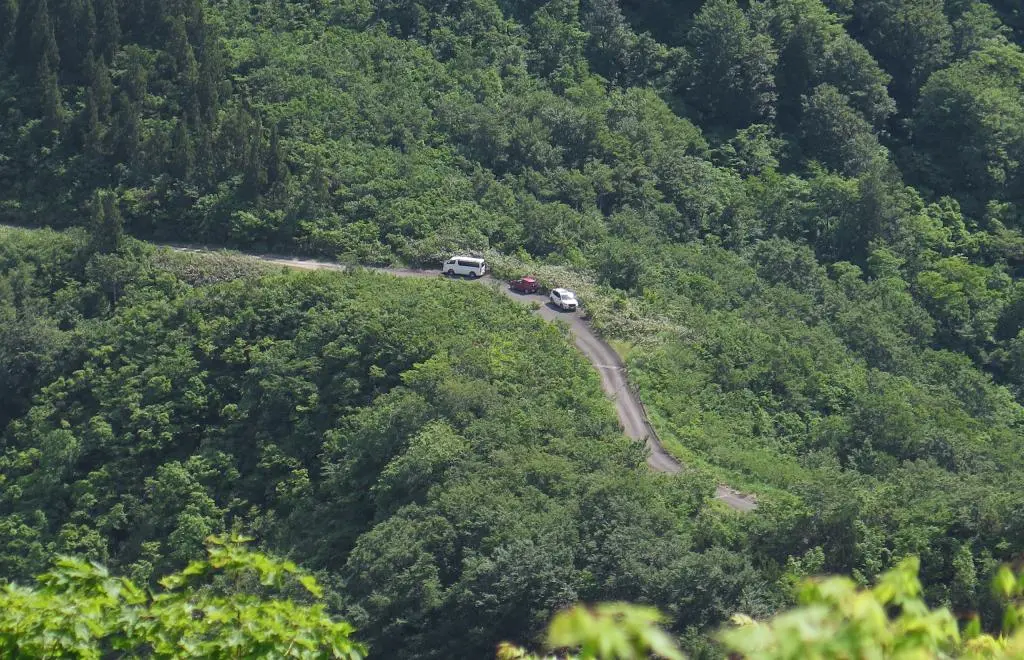
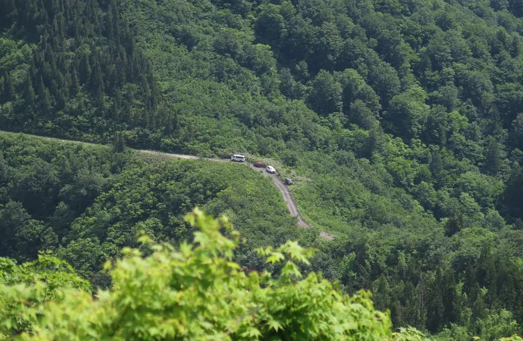
Halfway down, I had some kind of cracking sound and then some guys shouting something. I stopped to listen, but the noise stopped. A few minutes later, I heard it again, but had no idea what it was. I reached an observation point and noticed a few more cars next to mine.
Further down the mountain, I heard some more shouting. Eventually, I got close enough to it to understand the situation. In the brush, away from the trail and invisible to me, were two guys cutting through a separate trail. They were yelling out to each other as a safety measure. If one of them yelled out and there wasn't a reply, they would know the other person was in danger.
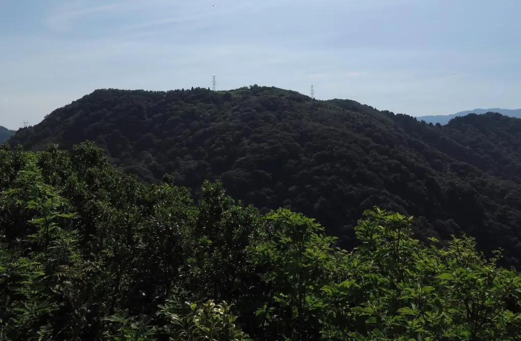
A worker van was parked at the beginning of the trail, so they must've been construction workers making their way to an electrical tower, or something. The descent took almost the same amount of time as the ascent.
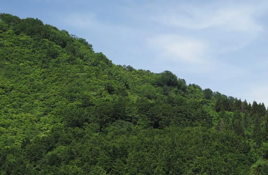
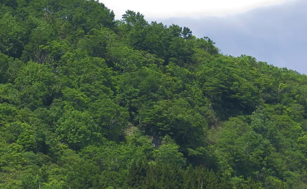
At my car, I took a look back at the mountain, but I couldn't see any trace of the observation tower or points along the trail. Everything was pretty well covered.
Hakamagoshiyama was a really nice and semi-challenging hike that did seem like only the first step of a much longer adventure. It was only a side adventure for me, as I was really up there exploring Hosoo Pass. It would be nice to return and continue along the ridges to view Ishigawa and Kanazawa on the west side. Being able to see the Sea of Japan from the mountains would be great, too.
| 8:25am | by car 車 | Trailhead for Hakamagoshiyama | 36°25'54.3"N 136°52'47.7"E |
| 8:35am | walking 歩く | Rest Hut | 36°25'46.0"N 136°52'43.9"E |
| 9:05am | walking 歩く | Plateau Trail Fork | 36°25'40.7"N 136°52'22.2"E |
| 9:10am | walking 歩く | South Observation point | 36°25'34.3"N 136°52'20.8"E |
| 9:20am | walking 歩く | North Observation point | 36°25'42.4"N 136°52'19.4"E |
| 9:30am | walking 歩く | Back to Trail Fork | 36°25'40.7"N 136°52'22.2"E |
| 9:55am | walking 歩く | Back to Rest Hut | 36°25'46.0"N 136°52'43.9"E |
| 10:00am | walking 歩く | Back to Car | 36°25'56.6"N 136°52'49.8"E |
