Shiraki-mine is the highest peak of the mountain range separating the borders of south Toyama and north Gifu. It is one of the tallest mountains in the area at 1596 meters, and on a clear day, you'd be able to view both Toyama and Takayama cities from the top.
I had a friend coming to visit who was interested in doing a million things, and I had this mountain marked on my map from a while ago. So, we decided to take a look!
The pin on my map was for a parking lot pretty close to the peak, but after searching for hiking paths and current conditions, the Hida wilderness website marked the road closed due to a landslide. There's a hiking website (yamap.com) where people record their hikes, and the most recent hikes of the mountain seemed to confirm it.
Using yamap as a guide, there were several places where we could start our hike, but ultimately we planned on starting at the campground where the road had been closed and going from there. Hikes on yamap confirmed this was possible.
It took way longer to get to the campground than I had expected. We left a little later than planned, but the winding roads made us move very slowly. Google Maps said it would only take an hour from my apartment. I think we left around 8:15am and finally made it to the campground at 10:05am. Even though we made two quick stops along the way, it took nearly 2 hours.
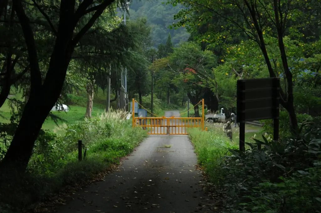
The campground was a nice piece of civilization carved out of the heavy thicket of trees and bushes. There was even a museum, or some kind of cultural hall, that detailed the surrounding nature. We didn't have time for it, though, and went straight on the path forward up the mountain.
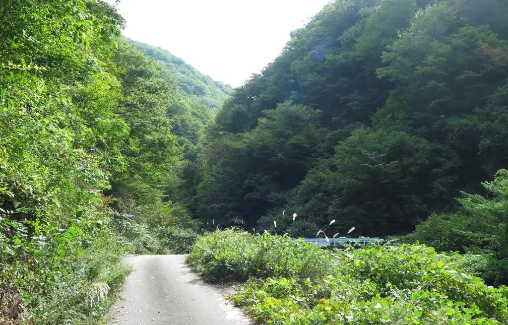
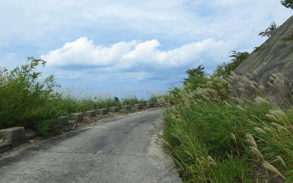
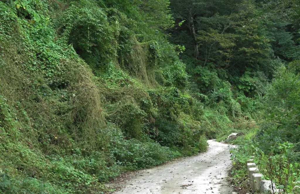
The path itself was just the closed road, so it was pretty easy. We walked passed several dammed and relegated streams coming from above. Some of the cement structures lower in the streams had been eroded away.
The climb was steady and kept going and going. It wasn't long before we could see some of the height we had already traveled.
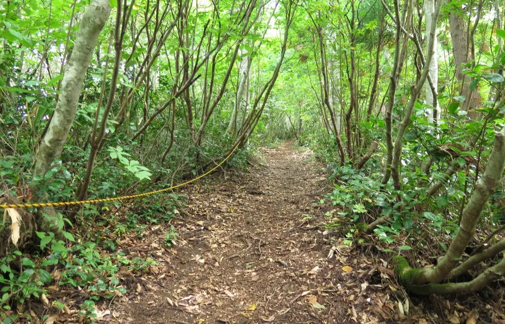
45 minutes later, we hit the detour. We had known that the road was closed due to a landslide, and the sign directed us to take this trail instead. It indicated that it led to the summit, and another hiker of their way down informed us that this was the way to go. So we went.
Looking at Google Maps, it seems like the trail was about 600 meters. Certainly not as long as the 3km we had already walked. However, our gradual 20 degree incline significantly spiked to 45 degrees, or more. The course had ropes to help pull ourselves up the climb, but it was still pretty rough.
As in any marathon, you continue to push through and continue to move. The longer you stop, the longer it takes. But, my partner in climb doesn't do marathons, so we often took some breaks, which ended up being necessary. This trail completely exhausted my supply of water.
Another 45 minutes later, we reached the trail head and made it back to paved road.
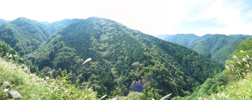
Having gained some significant height, and as the paved road winded around the mountain to gain height, we often had a view that looked down on the path we've traveled. Just 10 minutes later, the top of the trail head looked so small and far away. Another 20 minutes later, even further. One of the best parts about this hike we being able to visually observe the distance we had traveled. We wouldn't have gotten this experience by simply driving to the top. On the other hand, we wouldn't have been dying of thirst and exhaustion either.
After 30 minutes, we reached the upper parking area at 12:15pm. There was no running water, but there were some jugs of water as to use as an emergency. It did not look safe, so we moved onward and upward. Often there were trails that appeared on the side the road that offered us a shorter path to the top. But, we had already experienced the cost of such shortcuts from the detour earlier, so we continued on the road.
45 minutes later, the emergency shelter came in view. We climbed up to it and took a break inside. Nearly to the top!
Outside of the shelter gave us our first grand view.
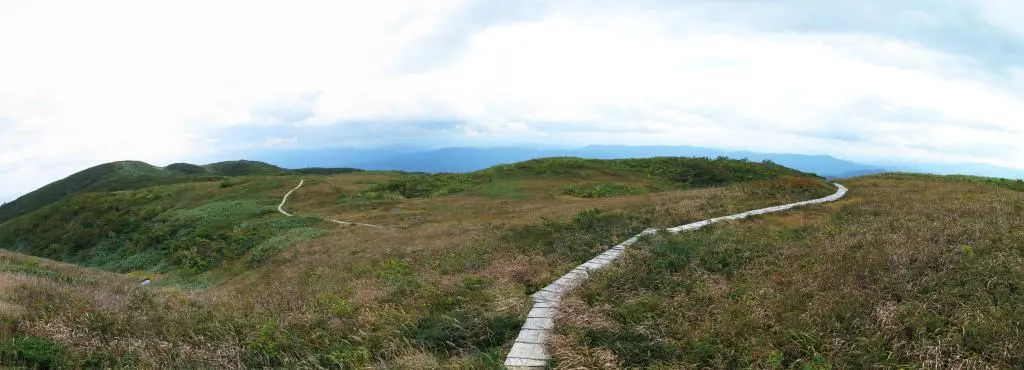
I think we stopped for about 10 minutes, and continued along the wooden path. Some of the path had degraded, and other parts were washed away from rain. The path looked like it went back down the other side of the mountain, which we didn't want to do. But, I scouted ahead and the path only dipped a little bit.
Around the corner, the path connected with the ridge line path. Going to the right, it lead to the peak.
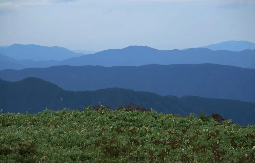
After nearly 3 hours of walking and hiking, and a total of around 8 or 9 kilometers, we had made it to the top. From the top, we had a 360-degree view of everything around us. The east (first panoramic photo below), the north (second), and the south and west (third).
The weather was pretty warm with only a few clouds when we started. But, there was a strong wind at the top. The wind had pulled in the clouds (and later on rain), so a lot of the view was covered. We could still see Toyama to the north, though not a lot of detail. To the south, we saw an area that had to be Takayama. We couldn't confirm it, but it couldn't have been anything else.
It wasn't really cold up there, but the wind was pretty strong. My hat blew clear off my head!
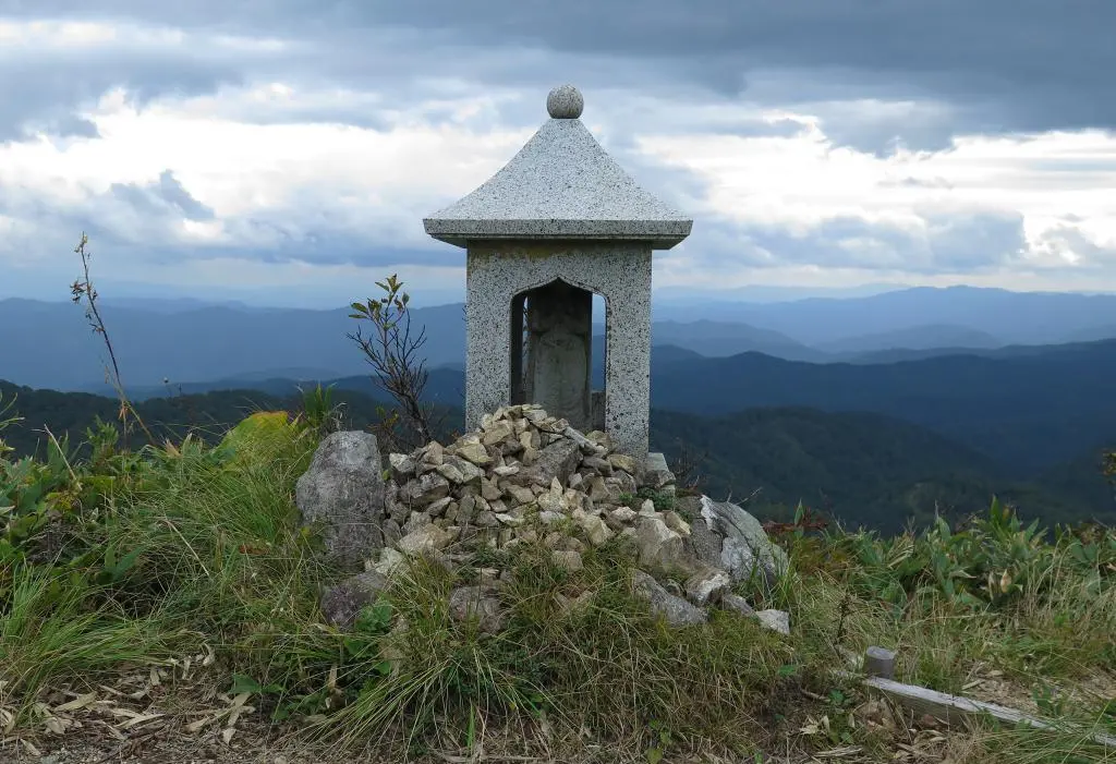
To the south-west was a Taishido 太子堂, a small buddhist shrine.
I wonder how many buddhist monks hike the mountain to pray here.
The other notable location at the peak is a pond to the east. The trail maps said it would take about 25 minutes to get there (and another 25 minutes to get back), but looking at the time, we could not afford to go. We needed to get out of the mountains by sundown (5pm-ish), and we were getting close to that limit with the amount of time it would take to descend.
We left the summit before 2pm and took the paved road all the way down. At the top, the paved road began on a disheveled cracked helicopter pad. Moving down the road, some of it had been completely broken apart and ground into rock, but I think a car could still drive across it.
Turns out, going down the mountain is way more easy than going up. After about an hour, we made it back to the trail head for the detour. We decided to stay on the road this time, and go through construction. We knew how steep and hard the trail would be, and the construction and landslide couldn't be THAT bad.
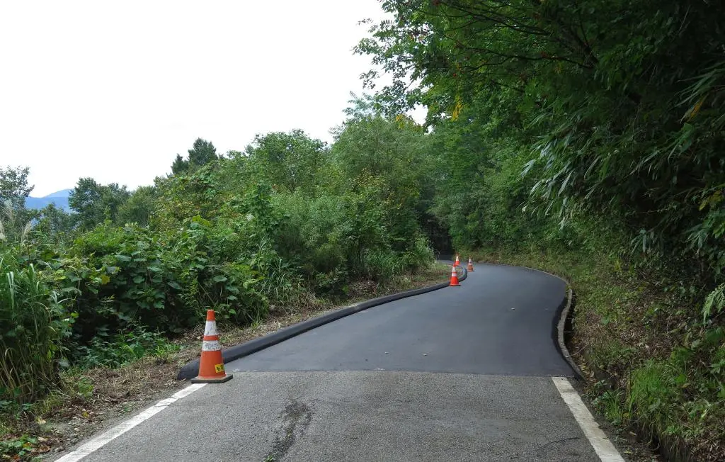
Turns out, we were right. The construction and road repair was already complete. If the gate had been opened at the campsite, we could've driven this whole distance. The construction sign we found a little bit later indicated that the road would be open on October 20th, so maybe they still needed to test their repair, or something.
This road led off in the opposite direction before meeting back to where the detour began. Going down, it took us 45 minutes from where the trail head ended to where it began. This was the same time it took us to climb up.
Because it went off into another part of the mountain, I started noticing a lot of vines choking and strangling the trees and brush on the road.
It was so thick. Nothing our size would be able to move through it. Everything was covered with this vine. My friend mentioned that it was probably all one organism, too, that just continued to grow and grow.
Eventually we made it through the thicket. We reached the start of the trail head and made it to camp, a bit further.
Going down the mountain is a bit easier, but the constant stamping of feet on pavement takes it toll on the soles of feet and the hip. But! We arrived and were finally able to refill our water. Another hour of driving through the windy roads, and we were back to civilization.
It had a been a while since I had been on a hike, and this one turned into one of the longest hikes I've done in Hida. Much like a marathon, you often question why you ever decided to do it not long after beginning. But you move past that feeling and start enjoying the moment, the movement, the nature, and accomplishment. I need to do some more hiking.
Overall, this was a great hike, even though a bit rough. This would be excellent to do again with absolutely clear weather.
| 9:27am | by car 車 | Naratoge 楢峠 | 36°20'51.1"N 137°04'01.5"E |
| 10:05am | by car 車 | Sugadaira Campground 杉ヶ平キャンプ場 | 36°25'41.2"N 137°04'59.6"E |
| 11:00am | walking 歩く | Trail Detour (construction) | 36°25'06.0"N 137°05'17.2"E |
| 11:45am | walking 歩く | End of Trail | 36°25'07.3"N 137°05'51.4"E |
| 12:15pm | walking 歩く | Shiraki-mine Parking 白木峰駐車場 | 36°25'06.8"N 137°06'17.9"E |
| 1:00pm | walking 歩く | Emergency Shelter 避難小屋 | 36°25'02.1"N 137°06'42.1"E |
| 1:30pm | walking 歩く | Shiraki-mine Summit 白木峰山頂 | 36°24'56.1"N 137°06'44.0"E |
| 1:45pm | walking 歩く | Taishido 太子堂 | 36°24'50.8"N 137°06'39.2"E |
| 2:25pm | walking 歩く | Shiraki-mine Parking 白木峰駐車場 | 36°25'06.8"N 137°06'17.9"E |
| 2:45pm | walking 歩く | Trail Detour (end) - skipped, took road | 36°25'07.3"N 137°05'51.4"E |
| 3:30pm | walking 歩く | Trail Detour (start) | 36°25'06.0"N 137°05'17.2"E |
| 4:15pm | walking 歩く | Back to car (Sugadaira Camp) 杉ヶ平 | 36°25'41.2"N 137°04'59.6"E |
| 4:55pm | by car 車 | Naratoge 楢峠 | 36°20'51.1"N 137°04'01.5"E |
| 5:15pm | by car 車 | Kawai 河合 471 Interchange | 36°18'23.0"N 137°05'31.8"E |
