Update March 12th, 2018
The weather was so perfect on this November day, and leaves were just starting to turn their brilliant orange. I had another mountain on my list of places to climb, and the day was still short since Funayama took a whole lot less time to climb than I thought it would.
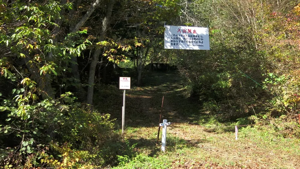
I had lightly researched Mihakayama, so I knew where to start. Mihakayama is the near the on-ramp for the highway. Actually, part of the highway tunnels through the south end of the mountain. The trail begins further up than that, though.
The trail starts as an old service road for vehicles, but soon deteriorates from age and neglect. At one point, the two tire tracks become a single trail no longer meant for vehicles. And you become even more engulfed in the forest.
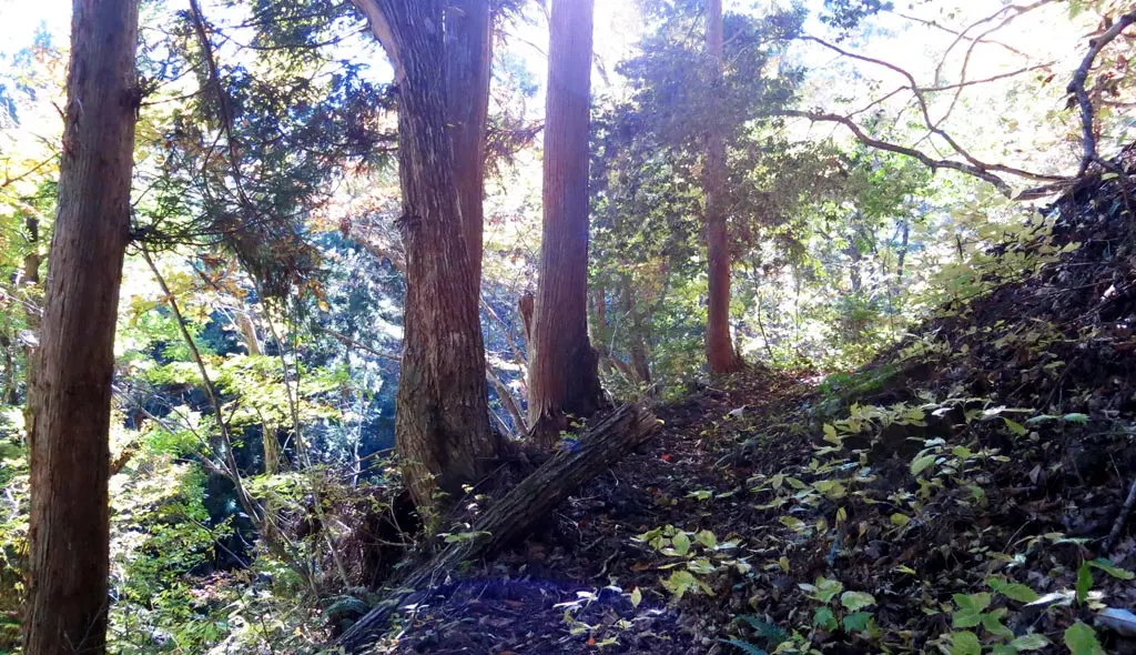
As the climb continues, fallen trees cover the path. The path itself is covered and hidden underneath the leaves of the other trees. The trail is rather manageable, but there were some steep parts of the trail where I slipped because of the abundance of leaves.
The climb was separated into two parts. The first part was the direct ascent from the parking space up the side of the mountain. At the top of the spine, was a small camp site. From there, the trail continued on the spine of the mountain until it reached the peak. The trail alternated from facing west to facing east.
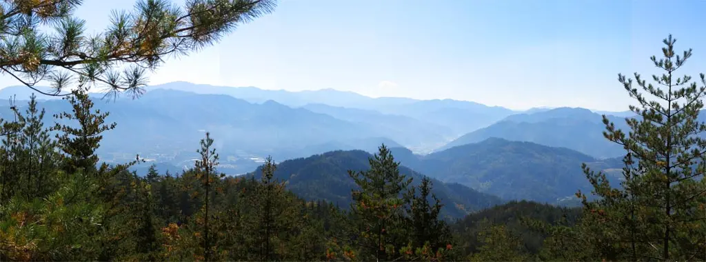
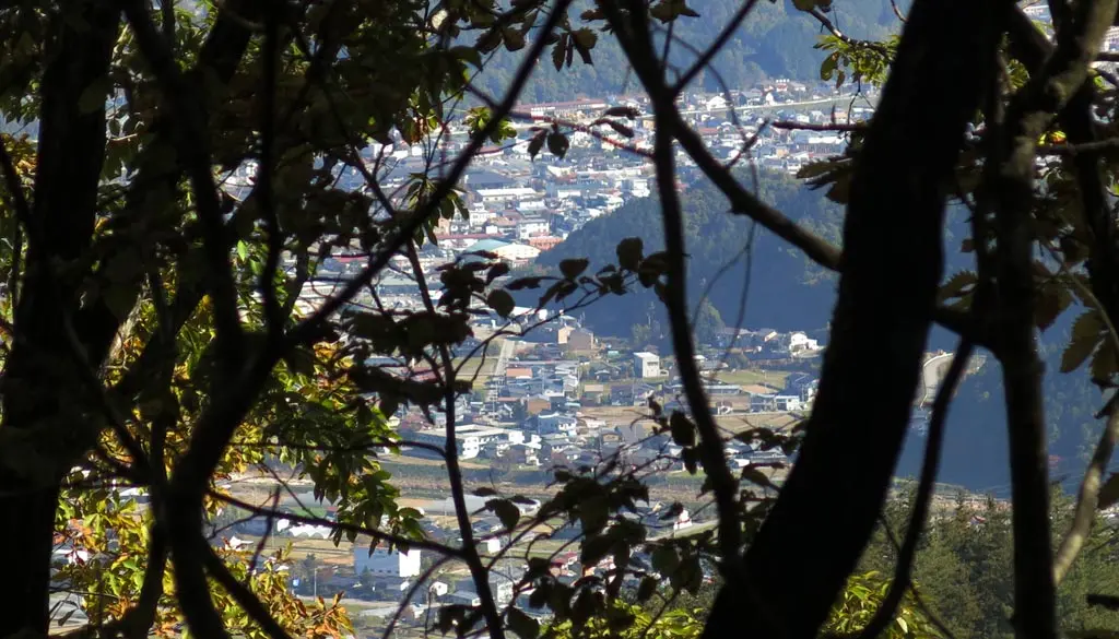
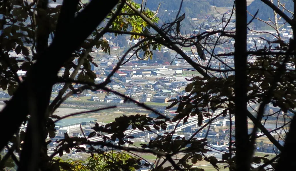
From the west, you could clearly see Kiyomi basking in the sun.
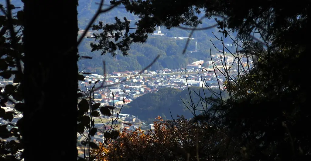
Facing east, the rest of Takayama started to become more and more clear.
For the most, this was really the best the view could offer. The peak was defined with a small shrine, and a post indicating that you’ve reached the top. But, the view was completely obscured by trees. A nice observation deck could be built, but the area is a bit too far out of the way for anyone to care about making one.
This climb is more about the journey, rather than the destination. It was still a really nice day, though.
| ?:?? | by car 車 | Parking Spot | 36°09'36.2"N 137°12'39.6"E |
| ?:?? | walking 歩く | Observation Point | 36°09'54.3"N 137°12'18.0"E |
| ?:?? | by car 車 | Parking Spot | 36°09'36.2"N 137°12'39.6"E |
