Update March 12th, 2018
There are photos from when some friends and I went hiking on Takatawayama in Kuguno, Takayama. As usual, I think I found out about this mountain from looking at Google Maps, then searching Google using the Japanese name to see if anyone posting something about hiking it before. The photos I saw offered a decent view, so I thought it would be perfect to hike.
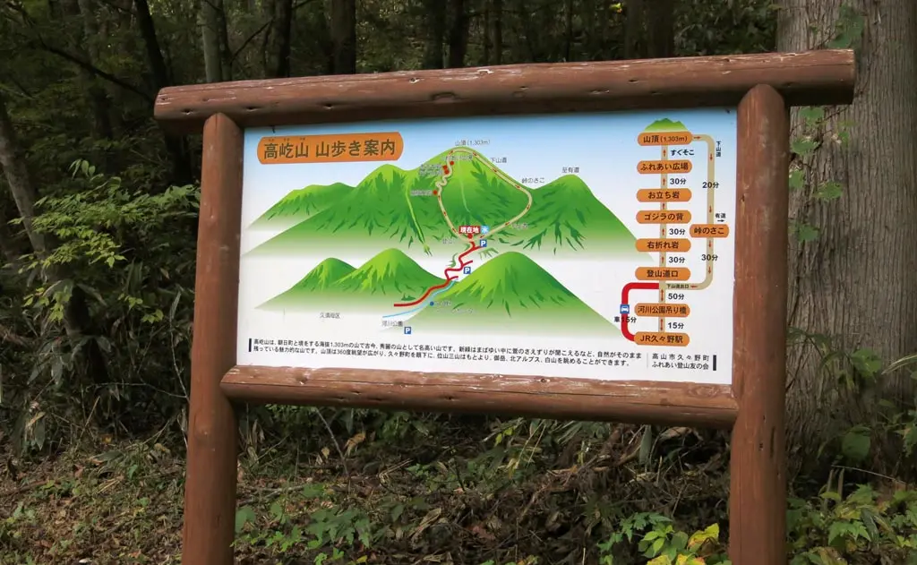
From the parking area, we were presenting with this map that included some helpful timeframes and how long the hike would take.
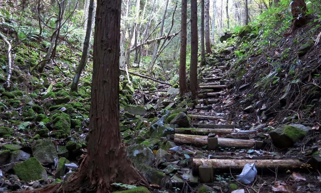
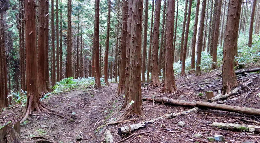
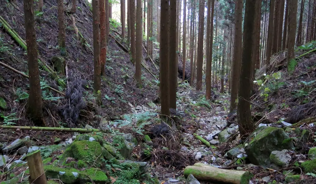
The trail was really clear and plainly laid out. Some of the terrain was quite steep, but occasionally had stone steps made from rock to make the climb easier.
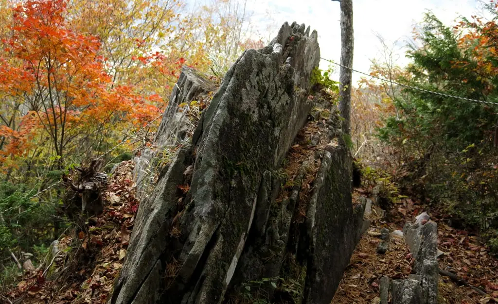
One of the landmarks on the trail heading to the top was ゴジラの背, or Godzilla’s spine. I didn’t really pay attention to the name at first, but when we actually saw the rock, it did bare a resemblance.
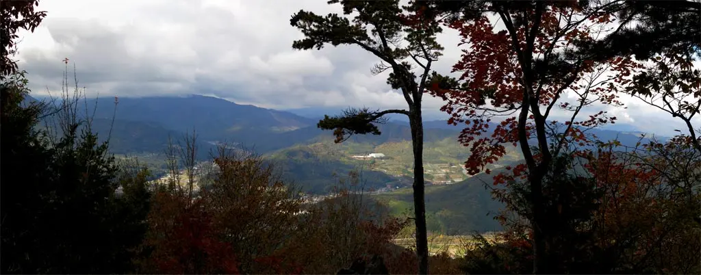
This was also the first point where we could see through the trees and get an idea of how far we had actually climbed. Through the trees, we could see Arkopia, the Kuguno Arena, Kuguno Junior High School, and most of the town.
Godzilla’s spine marked the end of the steep part of the climb. The rest of the trail was more level, and not really all that bad. The view continued to show through the trees every now and then.
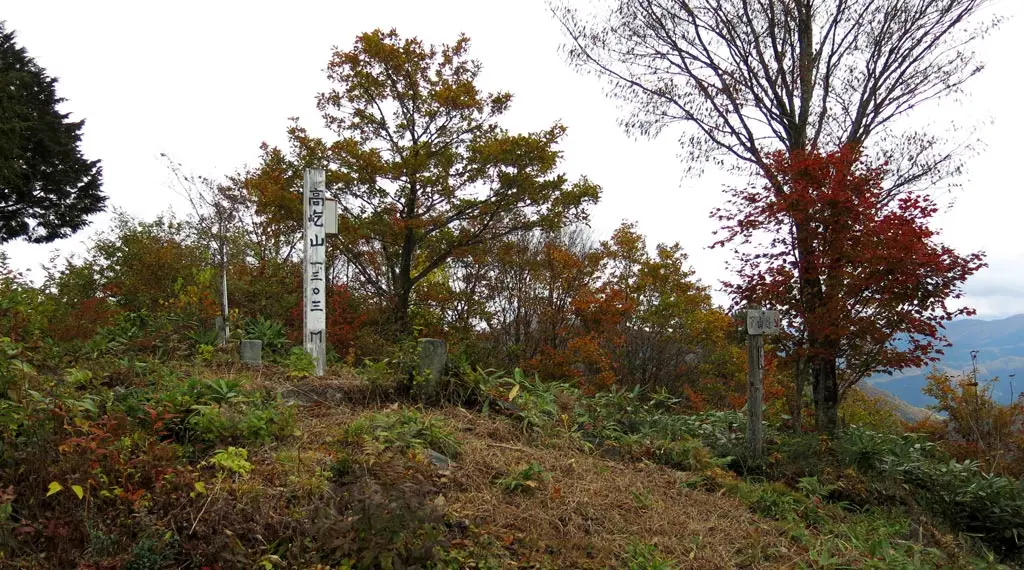
With any mountain hike, you can tell when you get close to the top because you can no longer see trees on top of the you, and the opening between the trees become more much bare. The trail gave way to a clearing and we reached our destination.
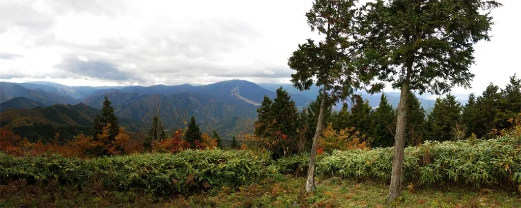
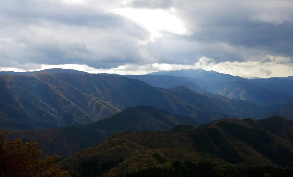
This view going northeast was beautiful.
Looking around, we could see some interesting things. We were able to see the cellphone towers and power station on the peak of Funayama 船山. (A couple days later, I would "hike" there - November 5th, 2016).
We also found a weird structure. This thing. We had no idea what it was. I went to Google Maps, switched it to satellite mode, and started looking around. It was to the right of the Arkopia ski hill, and little further back behind the mountain. Given that Arkopia was south-south-west from us, this structure was further in that direction. We were able to find it, but there weren’t any labels. Here it is. Later, we traveled to it and discovered that it was a shrine for the Sukyo Mahikari religion (wikipedia), whose headquarters is located in Takayama.
Anyway, we stayed up there for a while, and then began our descent down the back way. It wasn’t too tough.
We got back to our car, and then started going to some of the places we had seen from the peak. We drove around a little bit to try and find the Mahikari shrine. There was a gate entrance complete with security guards. We had to sign in before we could drive to the shrine, after which we had a security tail. When we reached the parking lot, we were met with another security guard that wouldn’t let us out of their site. We could not take photos, but we were able to see the shrine up close.
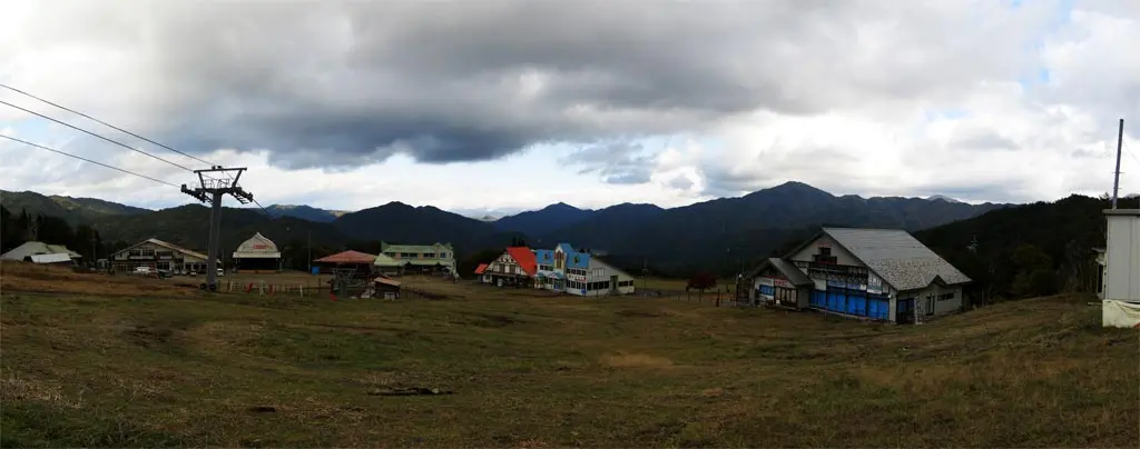
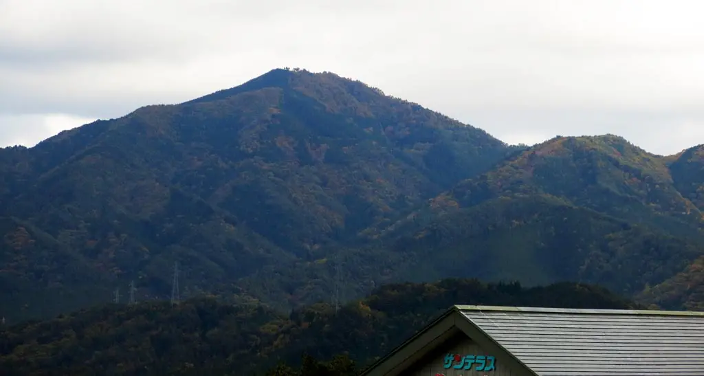
After that, we went to the Arkopia ski hill, which was another location we saw from Takatawayama. Looking past the ski lodge, we could see the peak, where we had been an hour earlier.
Overall, it was a really great hike.
| ?:?? | by car 車 | Parking Spot | 36°03'01.6"N 137°18'06.6"E |
| ?:?? | walking 歩く | Right-Split Rock 右折れ岩 | |
| ?:?? | walking 歩く | Godzilla’s Spine ゴジラの背 | |
| ?:?? | walking 歩く | Observation Point | 36°03'14.1"N 137°18'45.2"E |
| ?:?? | by car 車 | Parking Spot | 36°03'01.6"N 137°18'06.6"E |
