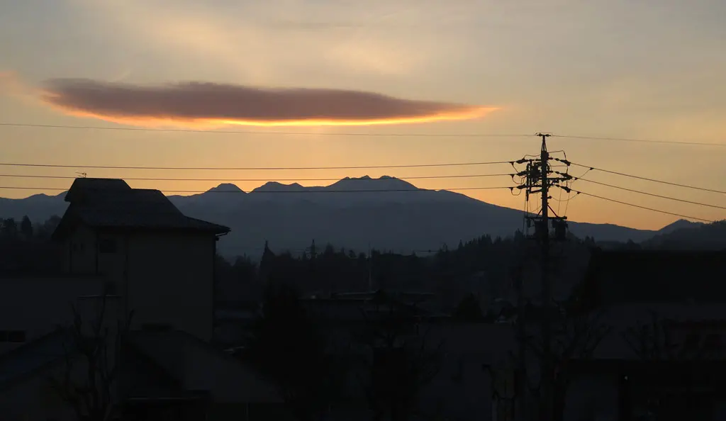
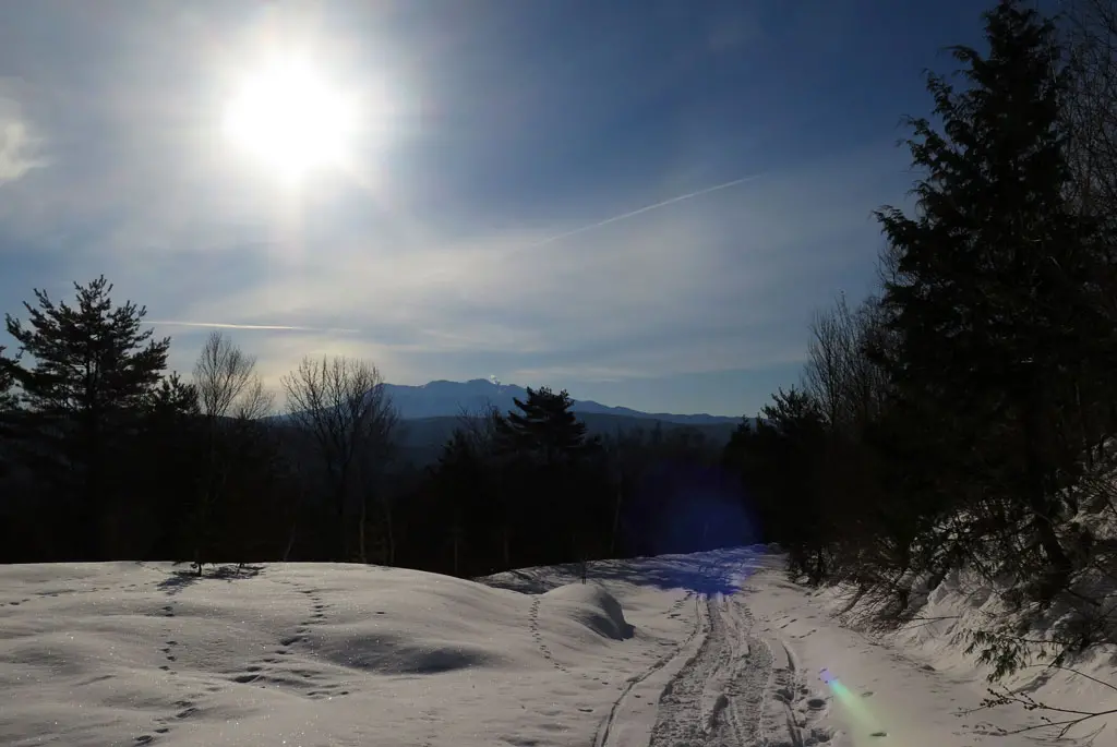
For the first time in a while, I had a day off with no plans at all. I woke up around 6:15am, as usual, and looked out the window to see a beautiful site.
Mt. Norikura looked gorgeous. The sky was quite clear. And the sun was just below the true horizon about the rise. I decided to grab my coat, put on my shoes, get in my car, and drive south to Funayama to catch one of the most fantastic views in Takayama.
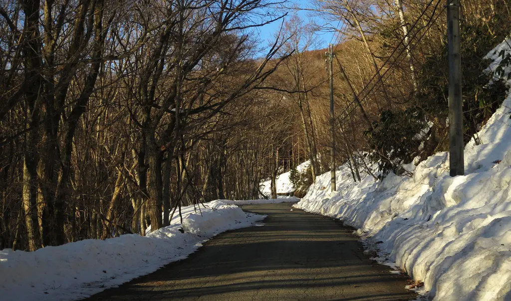
I went to Funayama about a year and a half ago (November 5th, 2016) and it was incredibly easy. Because of the cell reception station and towers at the top of the mountain, there’s a paved road that goes all the way up. And because of those buildings, I assumed the entire way would be plowed for easy access.
Well, I was half right.
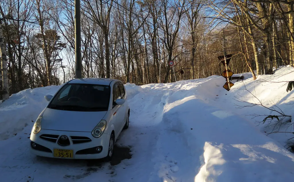
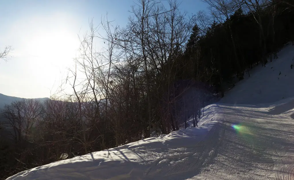
The road leading to the top was plowed up to the cabins. The sign near the fork of the road said it was another 2 km before reaching the top. I thought, "that’s not that far. I can run that in about 15 minutes." Though, that would be on a flat course with no snow and ice. I parked my car and started going up the path.
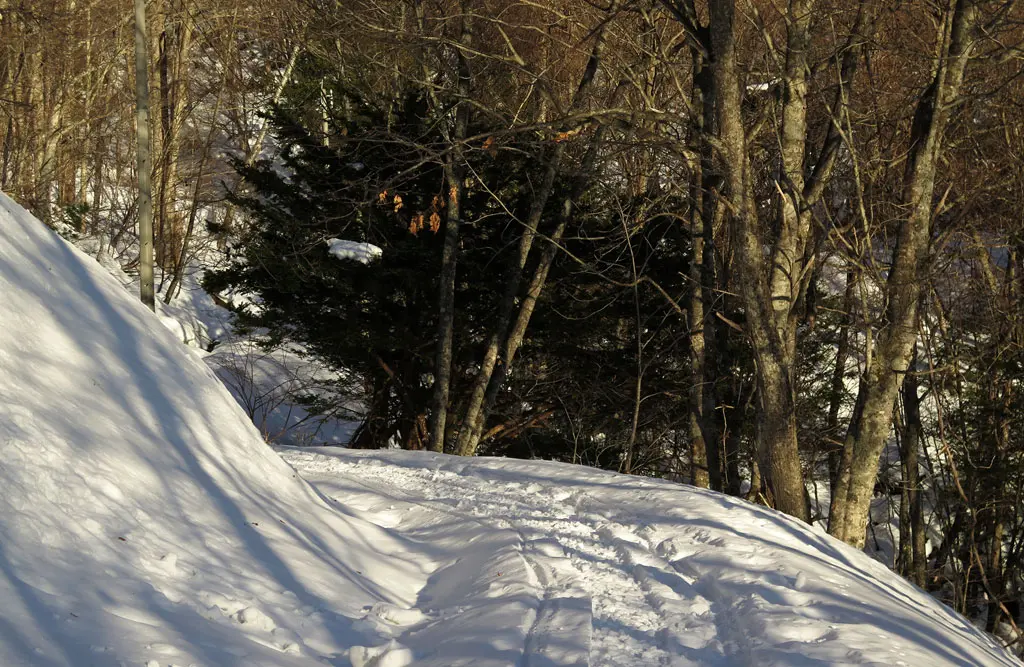
The snow had hardened since it had fallen over a month ago. With each step, I had to dig my boot into the snow to keep traction and move forward. It wasn’t hard. Just annoying. If I had remembered to bring my snowshoes, I could have doubled my pace.
It took me about 15 minutes to travel half a kilometer, and that’s when I reached a fork in the road. The road was in the process of being plowed, but it was still too slippery for my car. It was still too slippery for my boots.
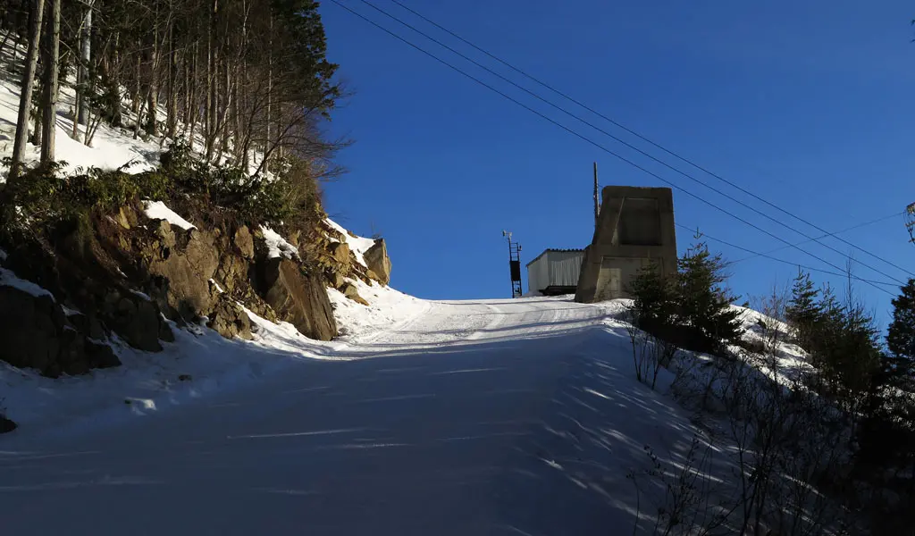
The road curved around back and forth to make up the vertical distance without being too steep. With each turn, a small building through the trees became more and more visible. When I moved around the last turn, it was in clear site, as was the edge of the hill it sat on top.
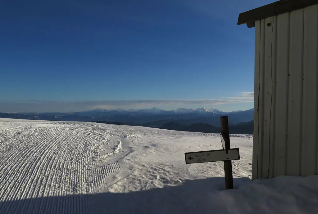
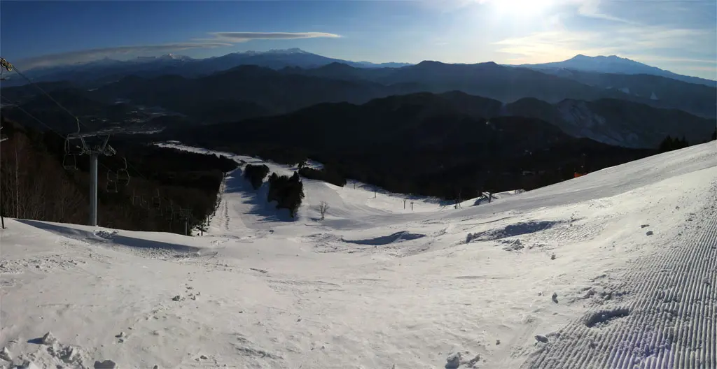
This was the top of the Arkopia ski hill on the Takayama-facing side of Funayama. From the top of the hill, Mt. Ontake, Mr. Norikura, and the Mt. Hotaka range were all in clear view.
It was a beautiful site.
I still had another kilometer left to climb, but having been up there before, the view was basically identical. It would’ve taken me another hour to drudge up through the snow and take more photos of the view I already had in front of me.
I took several pictures from where I was, but then headed back down to my car. Most of the trip was sliding down the road using the flat trends of my boots.
If you ever get the chance, whether it be summer or winter, Funayama offers one of the best views in the whole region.
| 7:09am | by car 車 | Camp Site キャンプ場所 | 36°01'34.1"N 137°15'12.0"E |
| 7:22am | walking 歩く | Road Fork | 36°01'37.1"N 137°14'57.3"E |
| 7:36am | walking 歩く | Arkopia Peak | 36°01'40.1"N 137°14'48.5"E |
| 7:49am | walking 歩く | Left Arkopia Peak | 36°01'40.1"N 137°14'48.5"E |
| 8:01am | walking 歩く | Road Fork | 36°01'37.1"N 137°14'57.3"E |
| 8:13am | walking 歩く | Camp Site キャンプ場所 | 36°01'34.1"N 137°15'12.0"E |
