Update March 12th, 2018
These are photos I took from hiking Funayama a year and a half ago. Though, "hiking" isn't completely apt because you drive to the peak of the mountain. You do need to hike a little bit to reach the observation point, though.
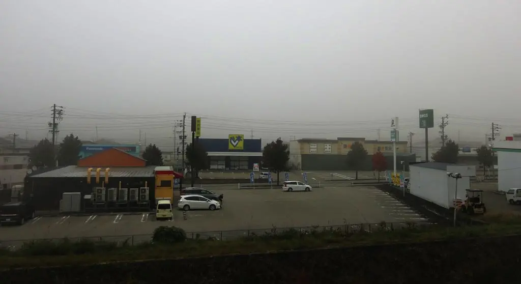
I went to Funayama on this particular day because the weather forecast called for a complete and total sunny day. Though, occasionally, in the fall, when you have a sunny forecast, you'll wake up to the weather looking like this:
Despite being completely sunny, Takayama is shrouded in clouds. But, it's only on the surface.
From the view above, the clouds only hang within the perimeter of the mountains the encircle in the city. Takayama is on the far left of the following photo.
Once the sun had risen and heats the air and ground, the low clouds begin to break away and allow the sun to shine through.
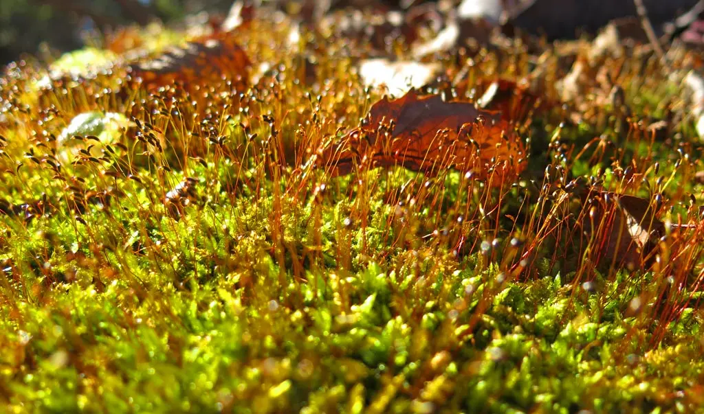
Every day I'm so thankful that I'm able to live up here. The nature of Takayama is absolutely incredible whether is the view of the big things from far away, or the small things from up close.
| ?:?? | by car 車 | Arkopia Ski Area | 36°02'15.0"N 137°15'42.2"E |
| ?:?? | by car 車 | Funayama Peak | 36°01'25.2"N 137°14'18.9"E |
| ?:?? | walking 歩く | Observation Point | 36°01'42.8"N 137°14'33.5"E |


