March 16th, 2018
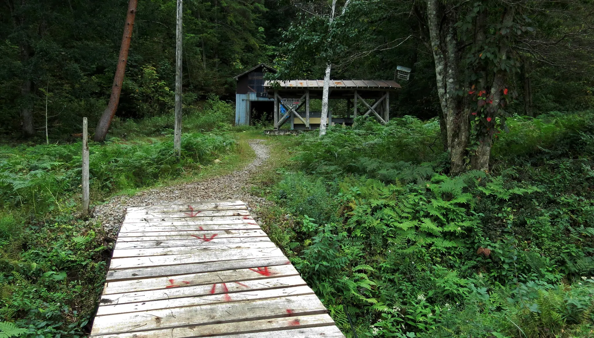
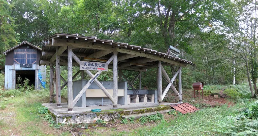
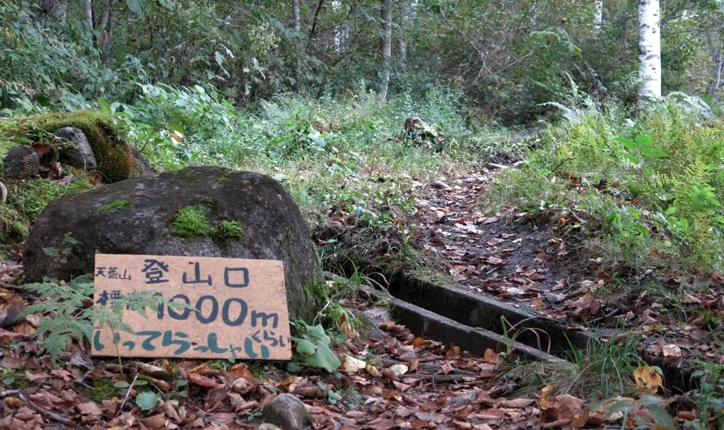
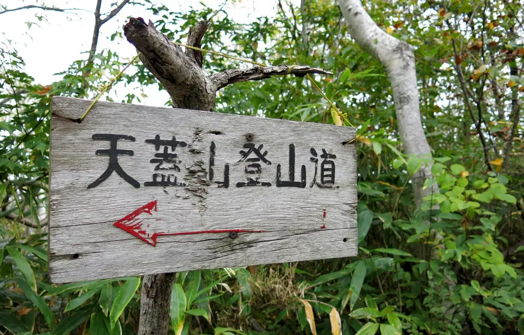
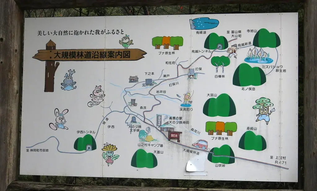
Tengaizan had been on my bucket list of Hida mountains to climb for quite a while. I read about it on the Hida-mori-aruki website a while ago. I had also seen the entrance every time I went to Yama-no-mura to do the half marathon up there. I was waiting for some nice weather and a day free from work or kendo, and that day finally happened in October 2016.
Yama-no-mura is pretty far away from central Takayama, though. First, you need to drive to Kamioka. That’s about 45 minutes. And then Yama-no-mura is another 30 or 45 minutes from there.
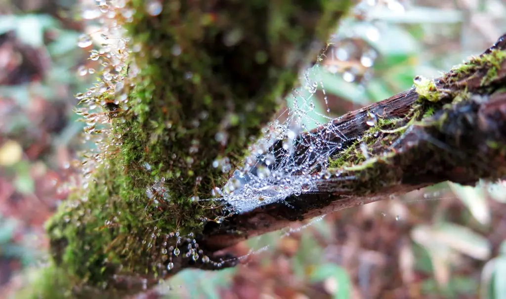
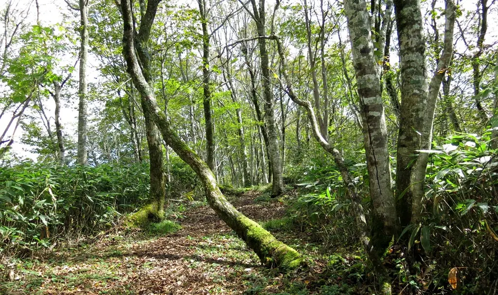
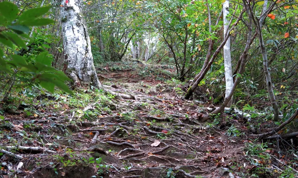
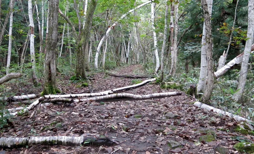
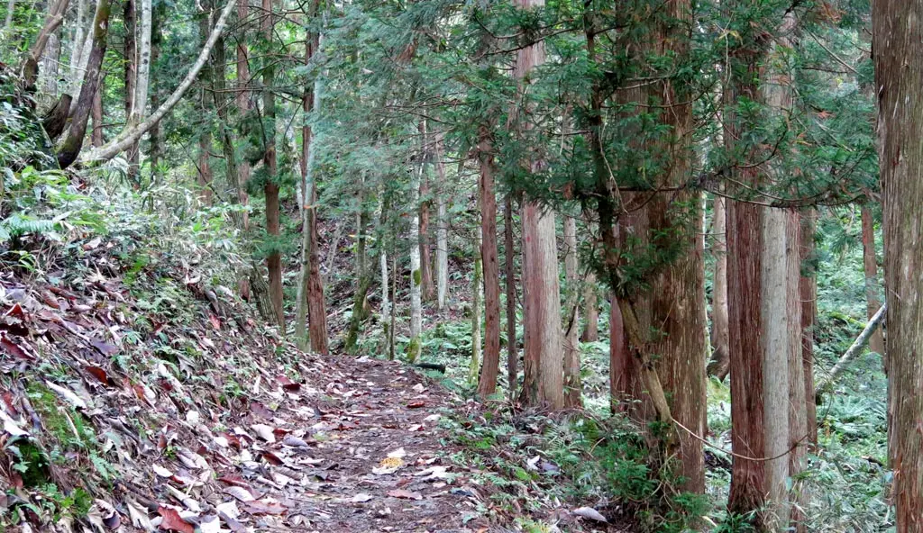
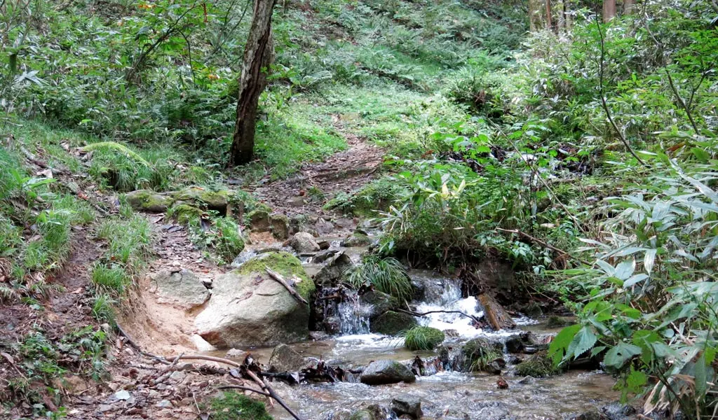
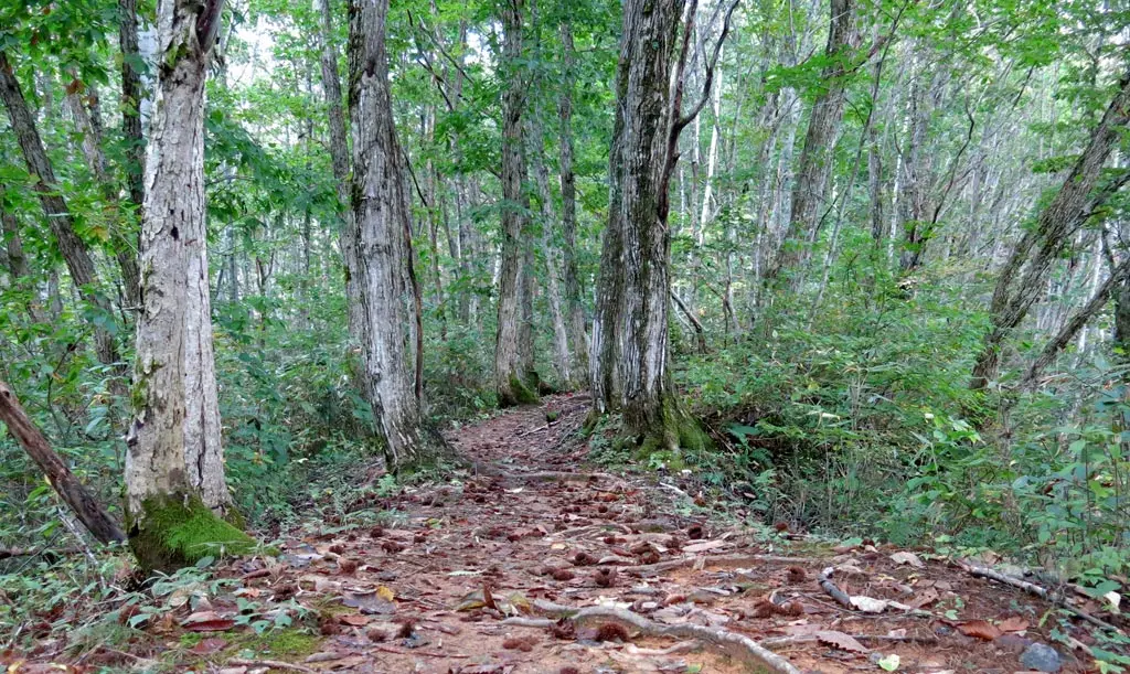
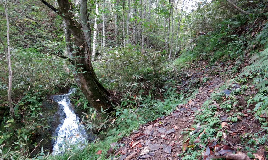
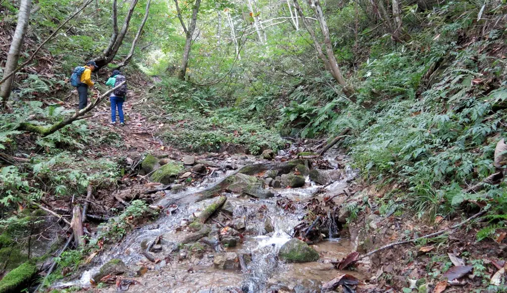
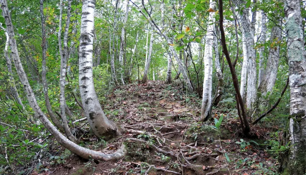
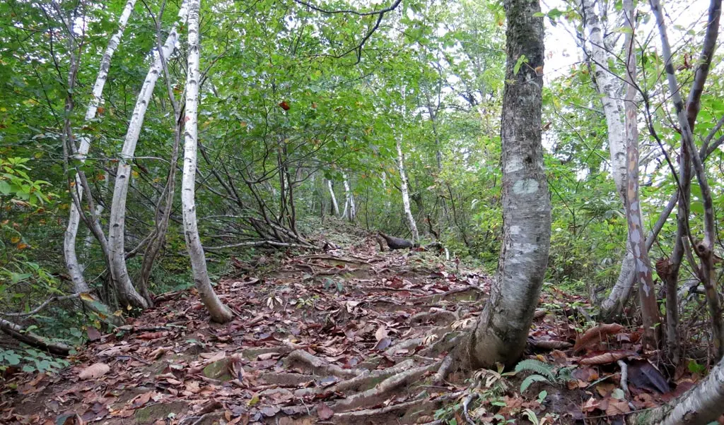
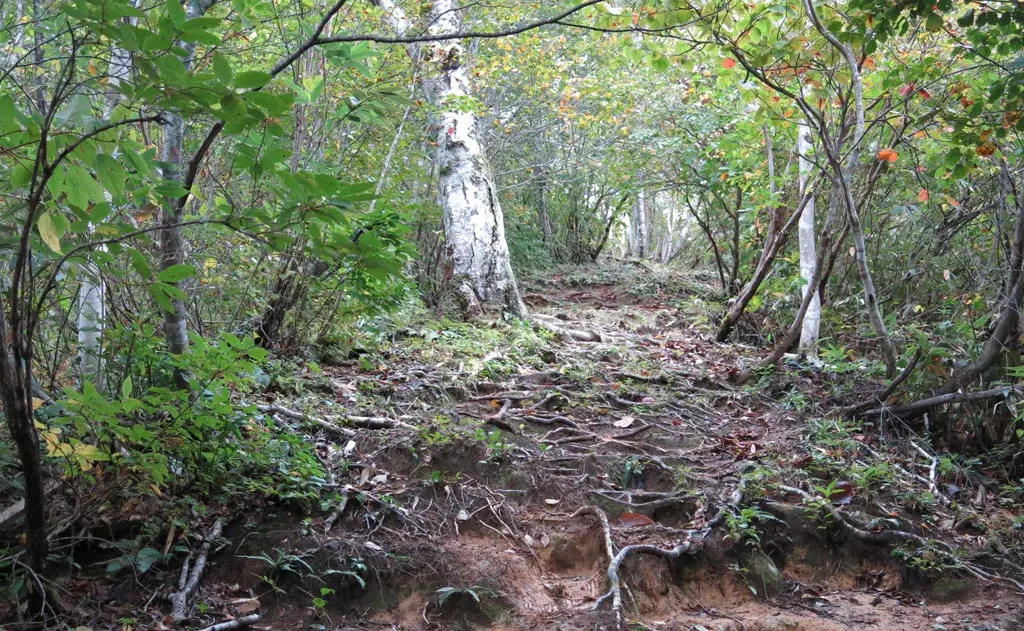
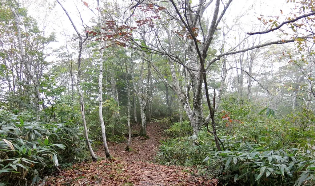
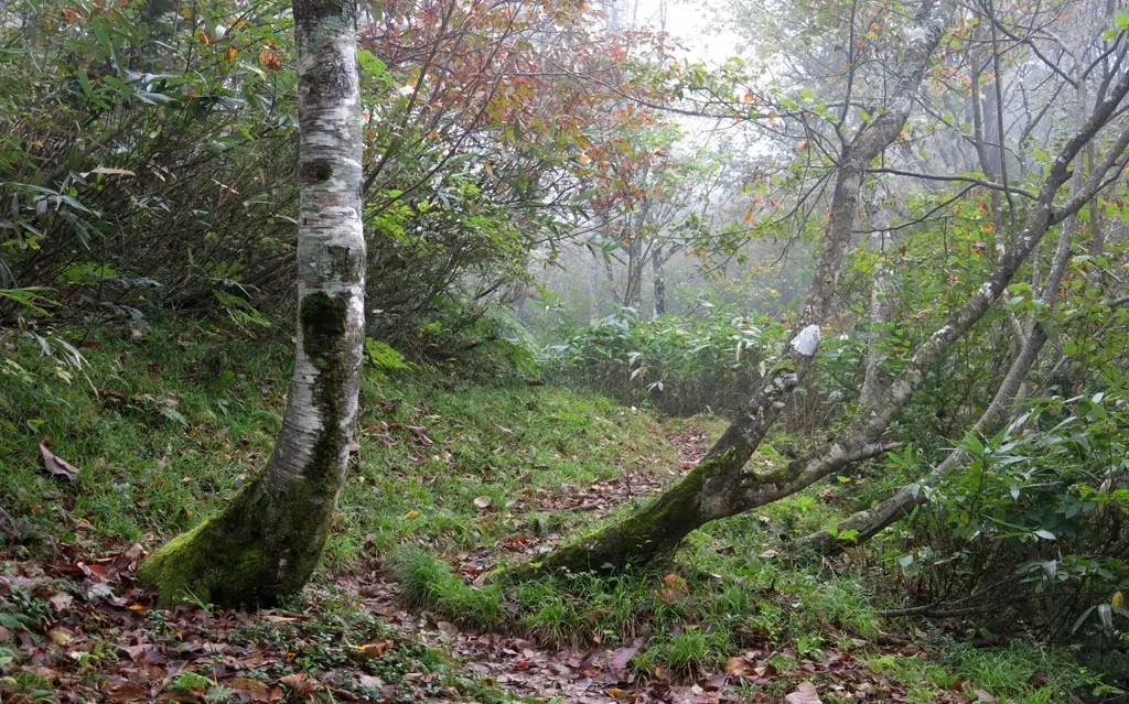
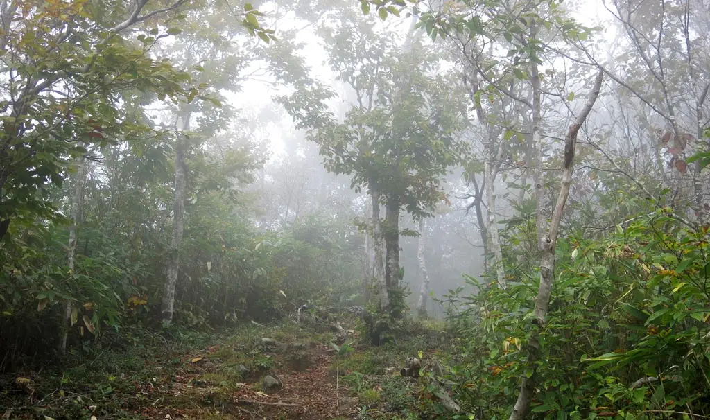
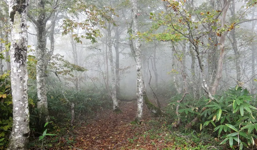
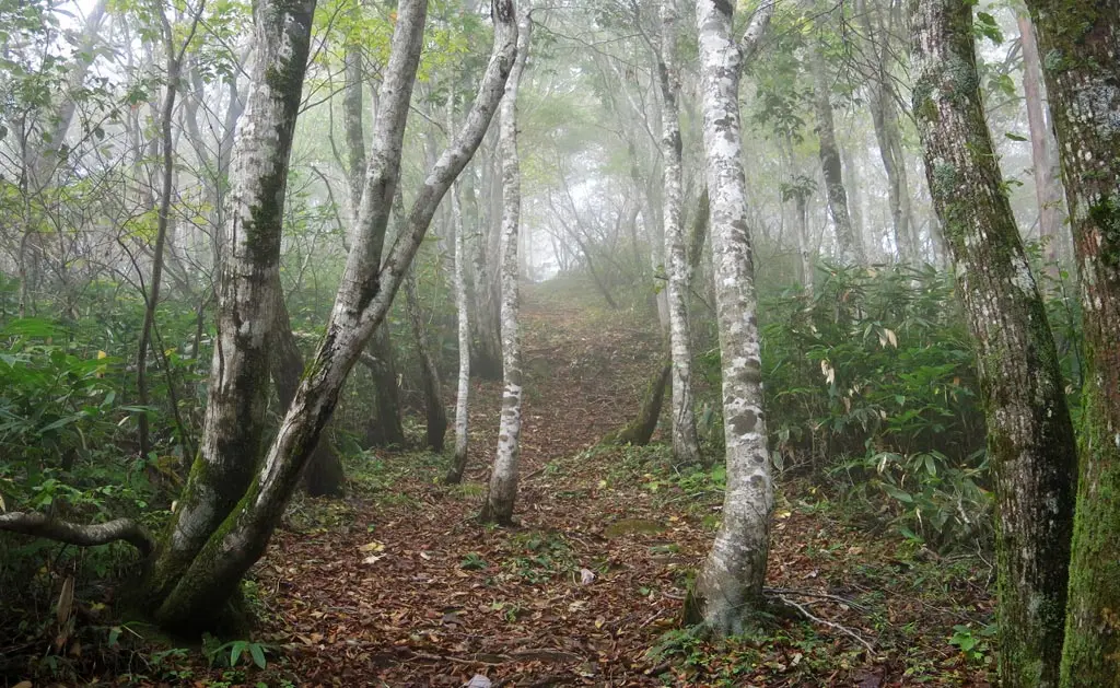
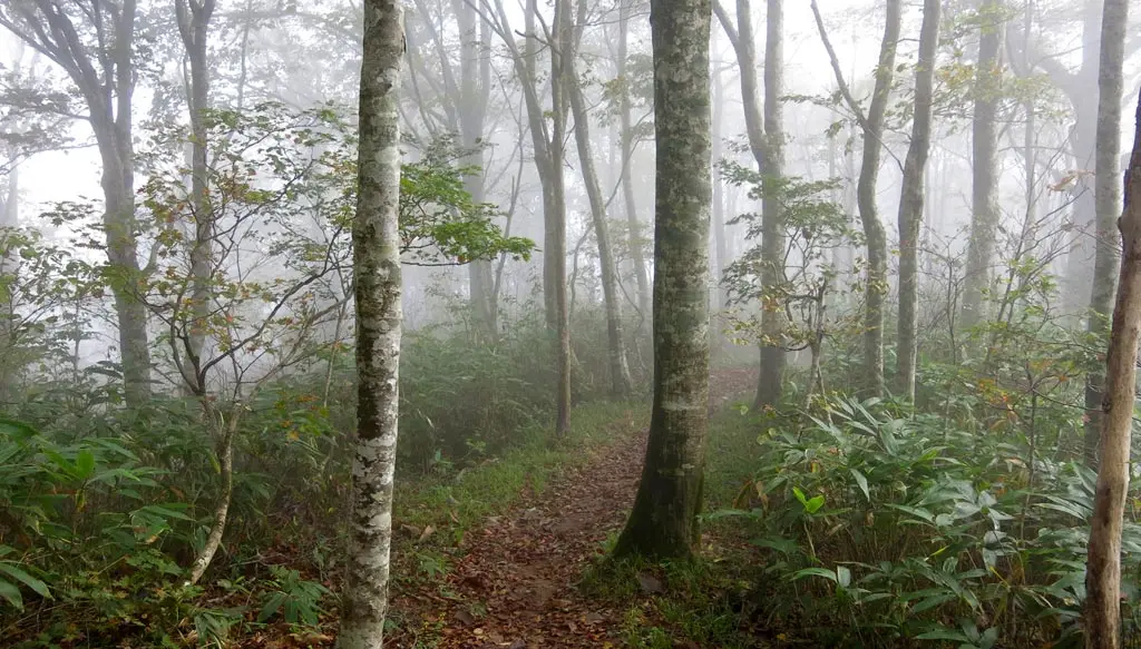
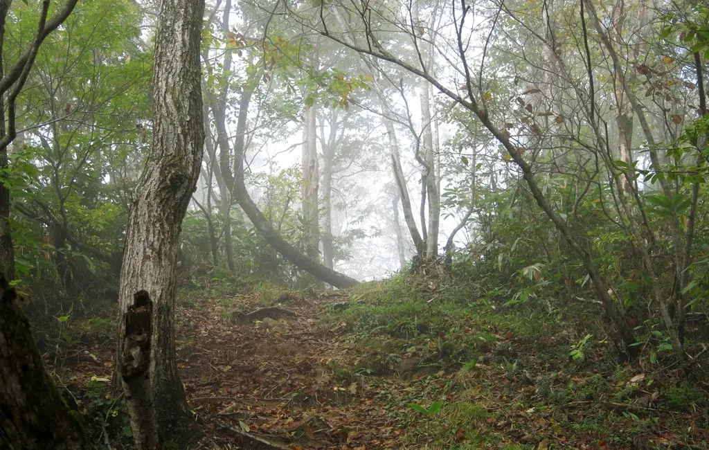
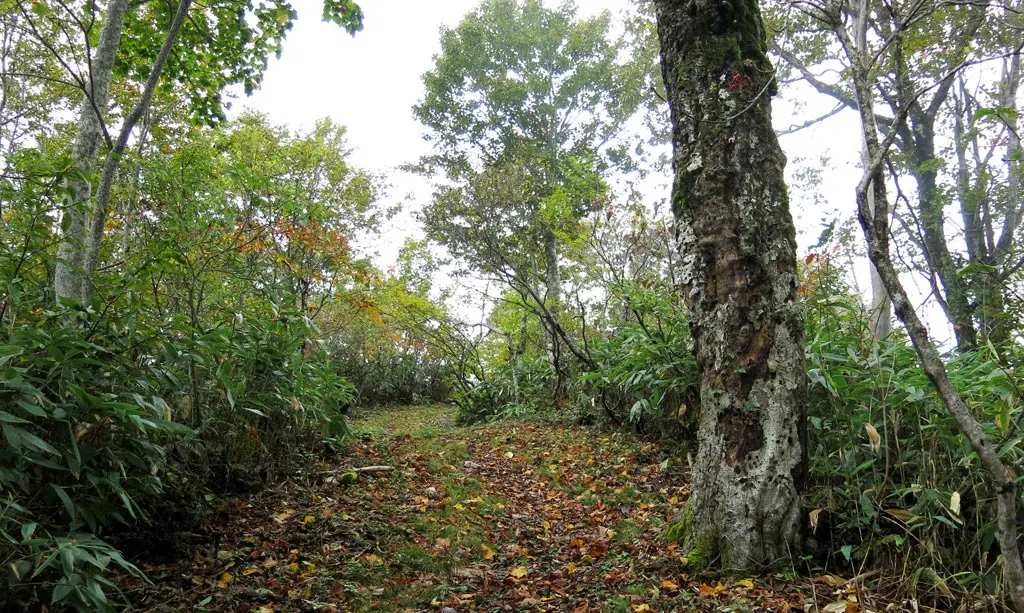
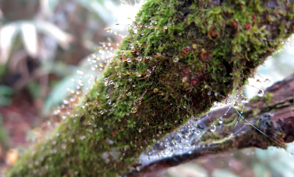
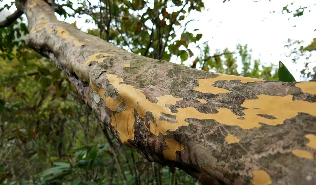
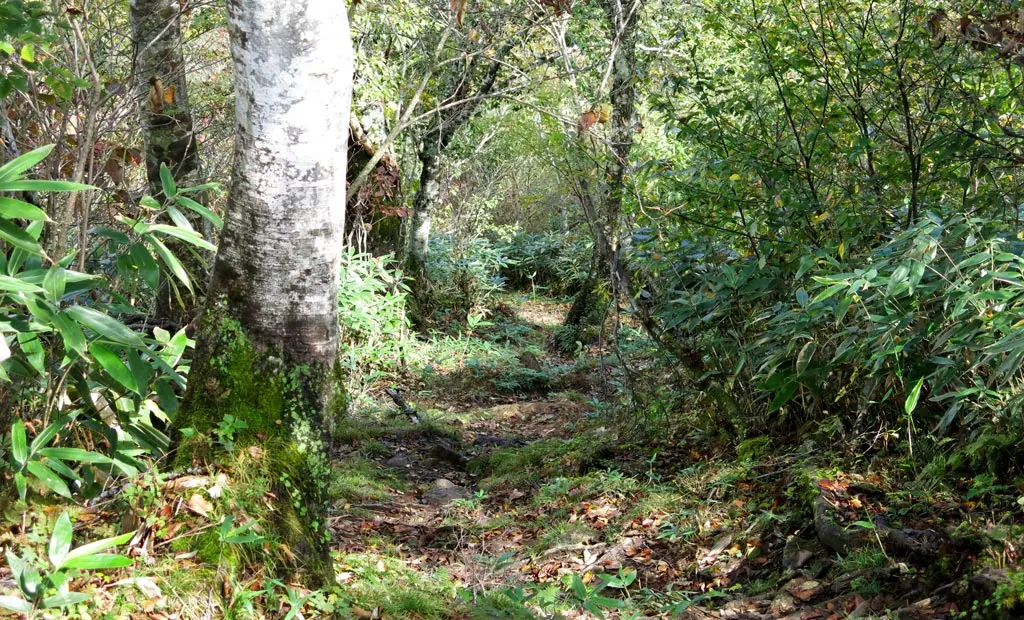
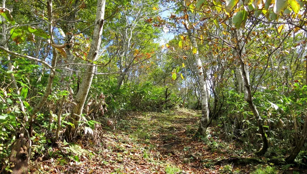
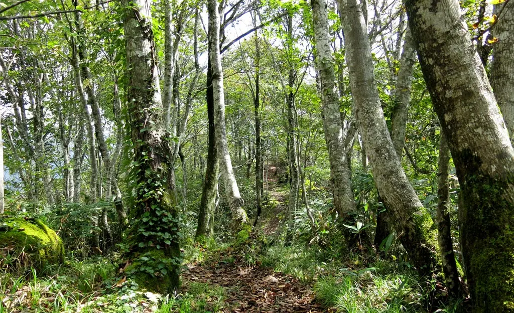
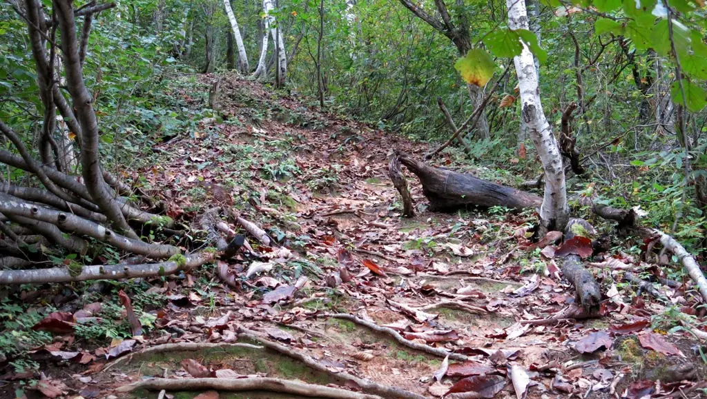
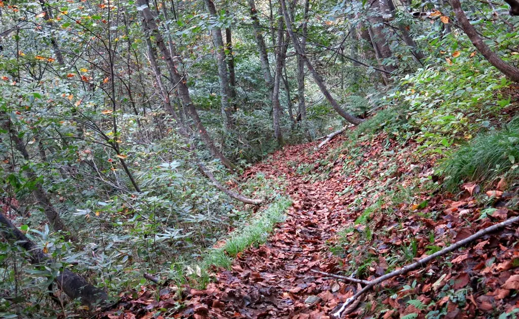
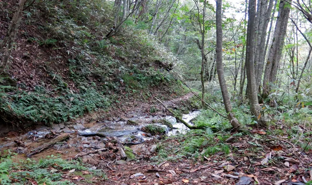
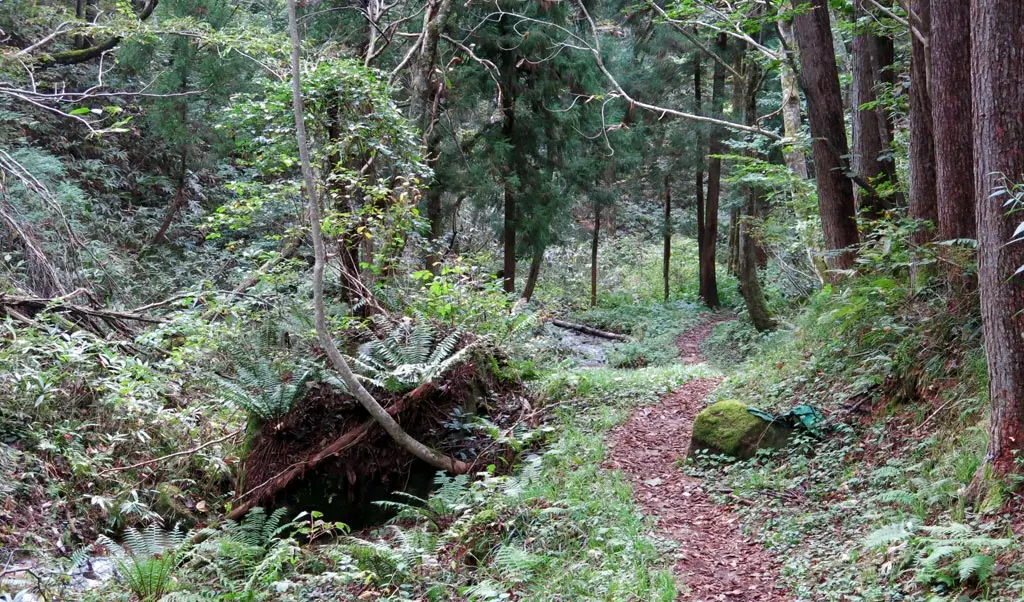
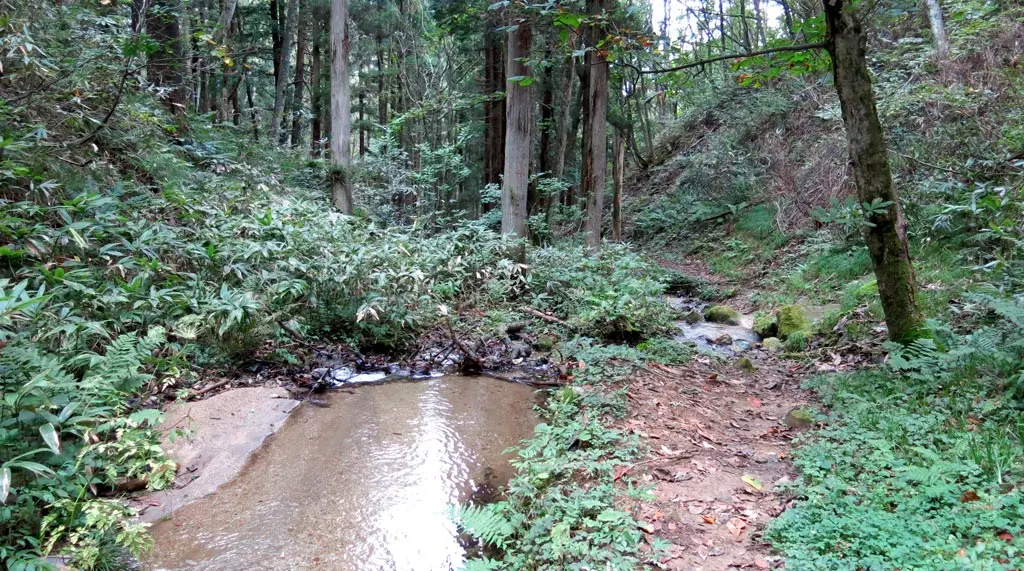
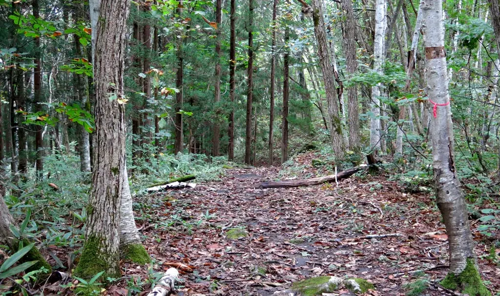
The weather was nice, but it was the day after it rained, so the ground was rather soft and moist. The trees reflected this, too.
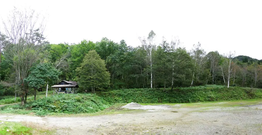
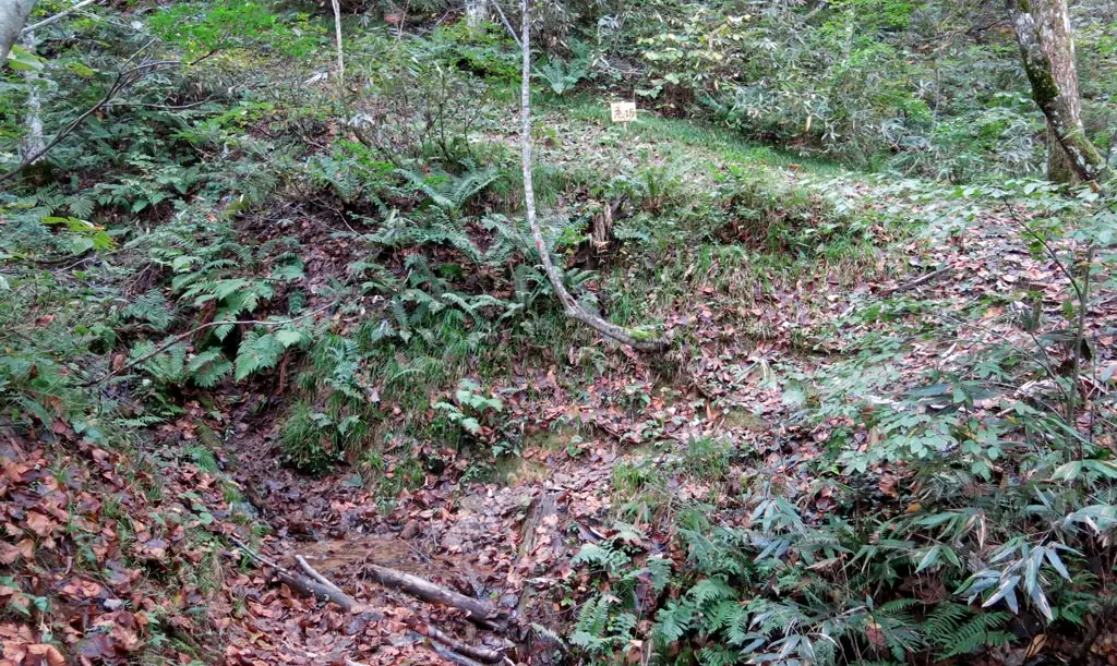
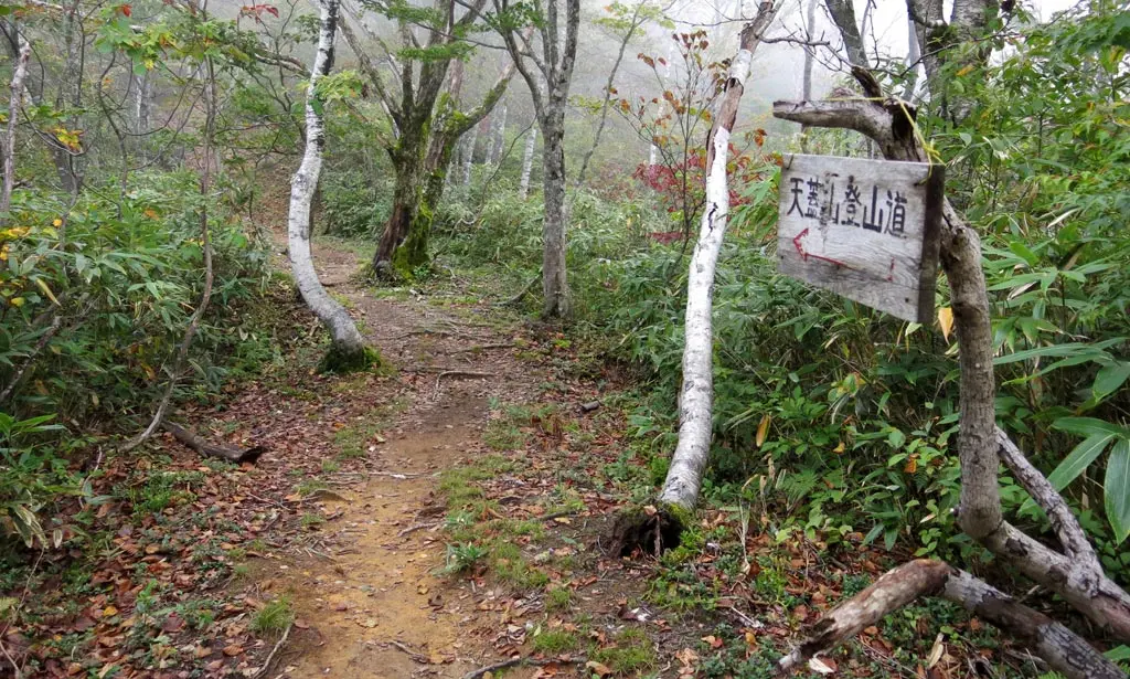
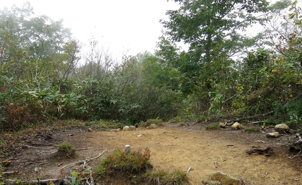
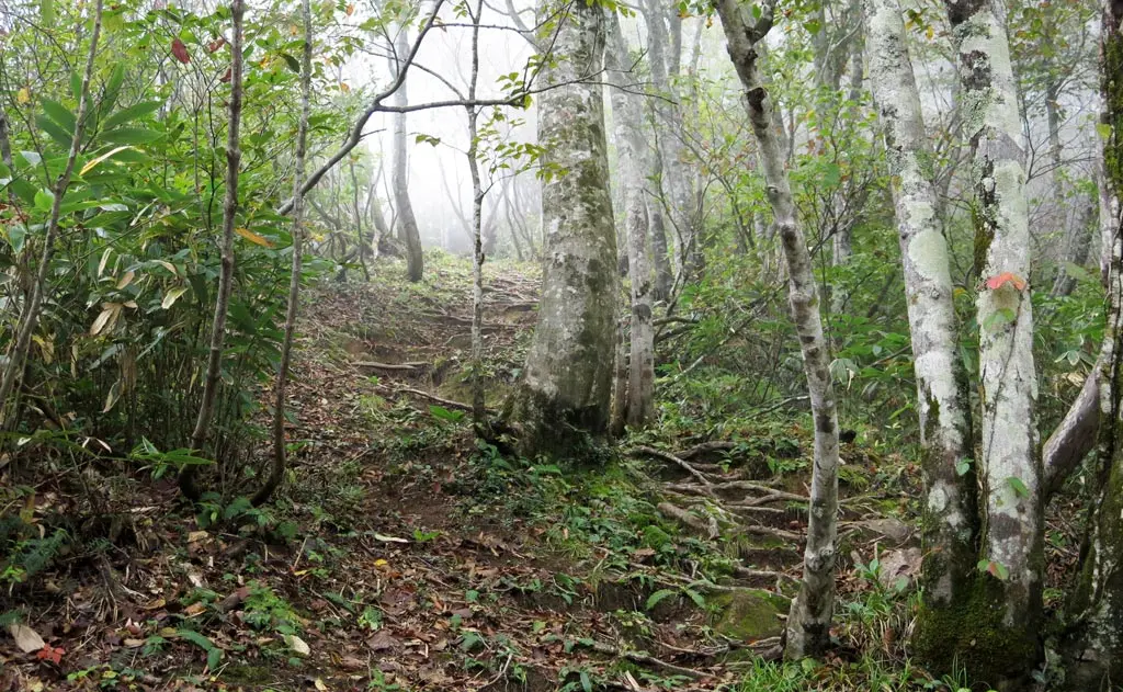
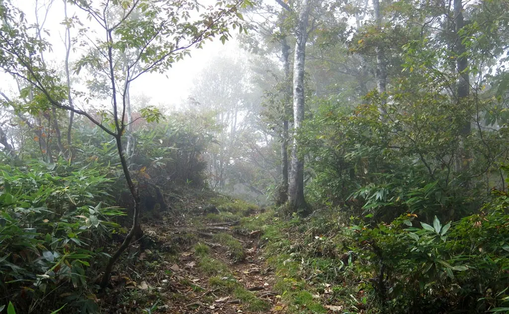
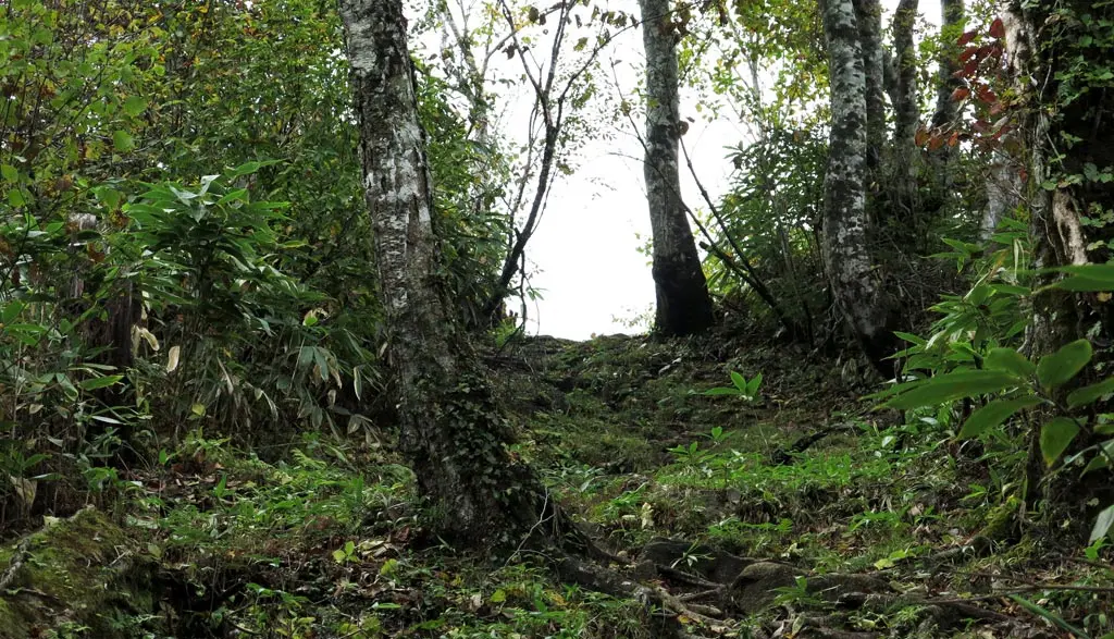
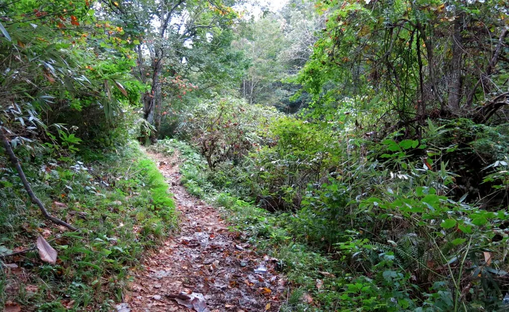
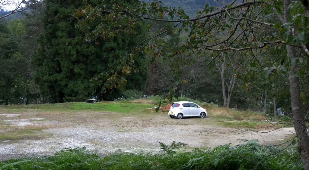
There were several steep areas of the hike where I had to use the rope to make the climb. The hike wasn’t too long, but still took about an hour and a half to reach the summit from the parking area. The first clear area was the Doruiato Ranch site, which was a 200m climb from the base, and about 370m up from where I parked. I guess this flat area used to be a ranch back in the day? It’s a bit high for horses. Maybe they were ranching something else?
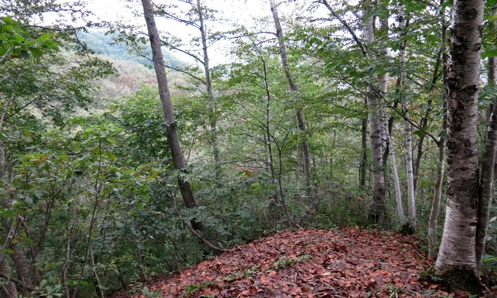
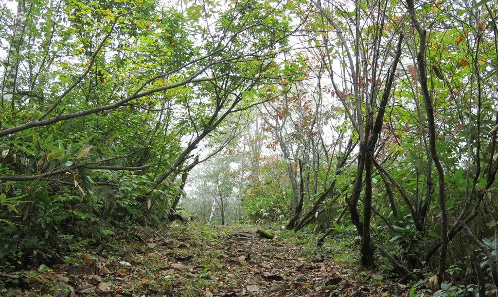
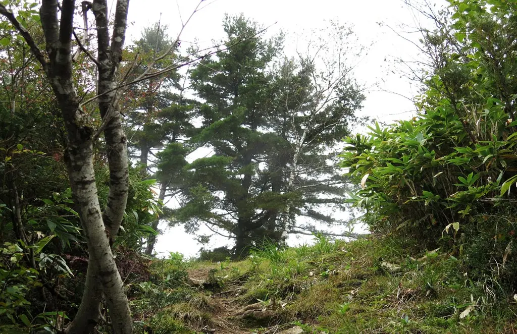
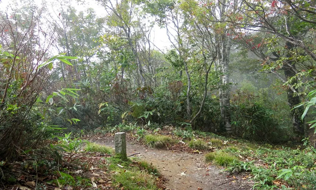
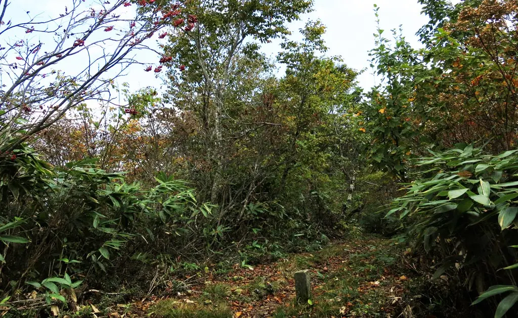
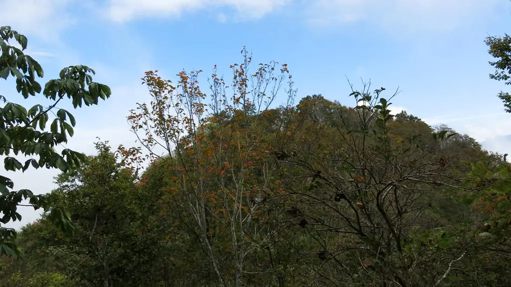
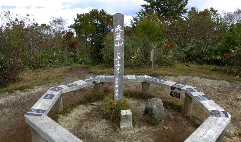
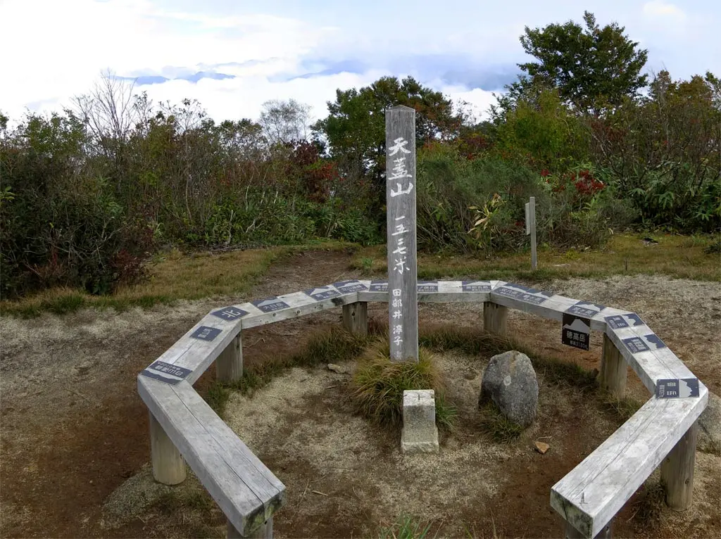
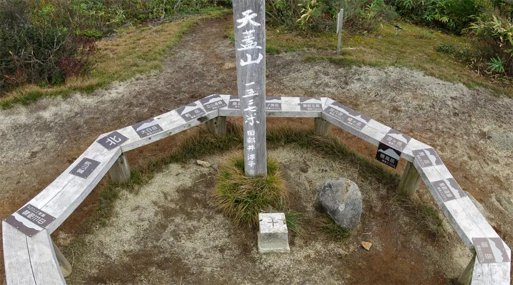
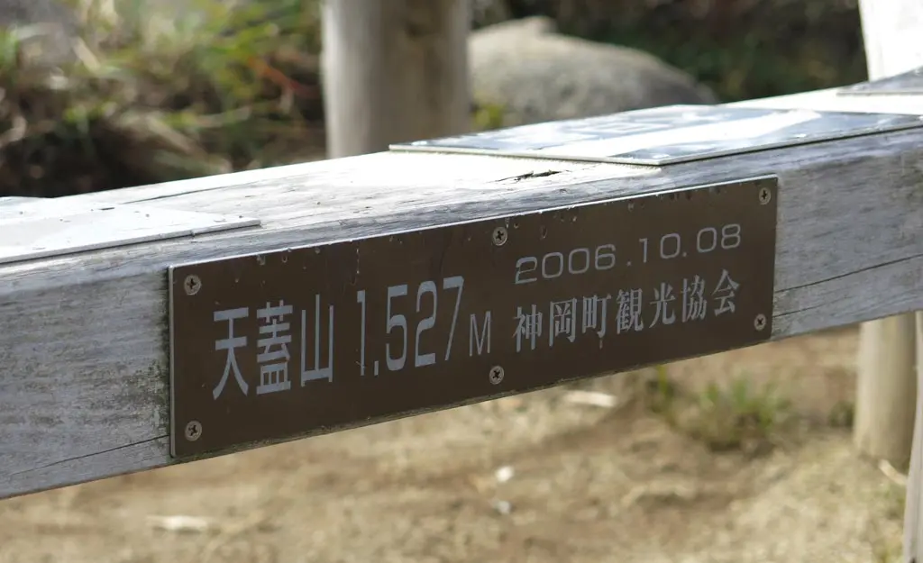
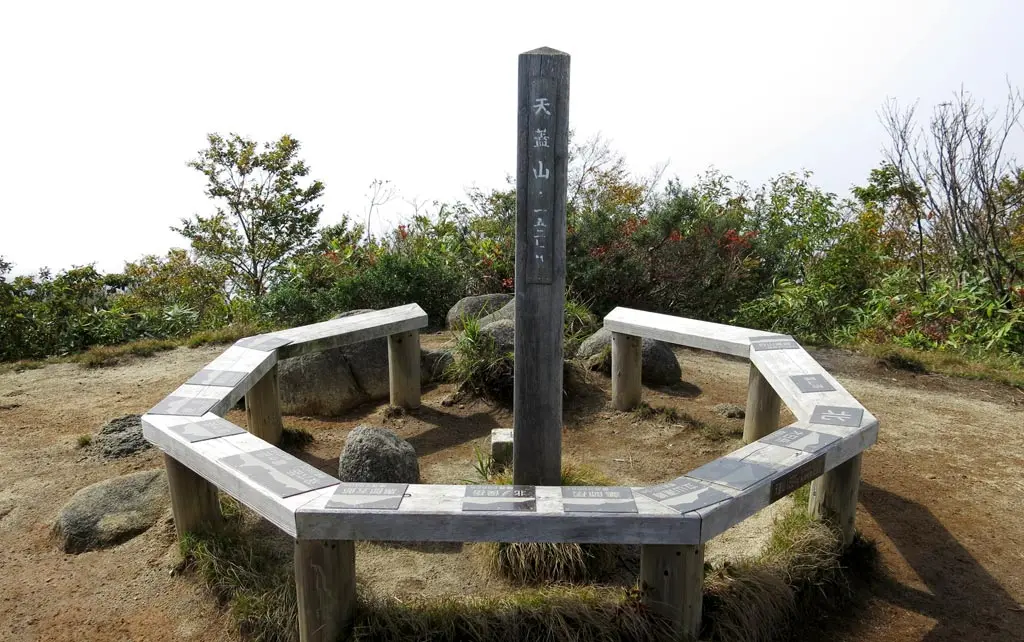
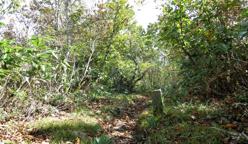
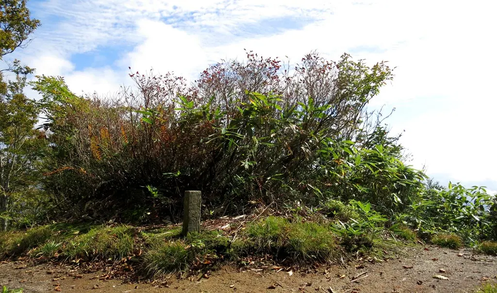
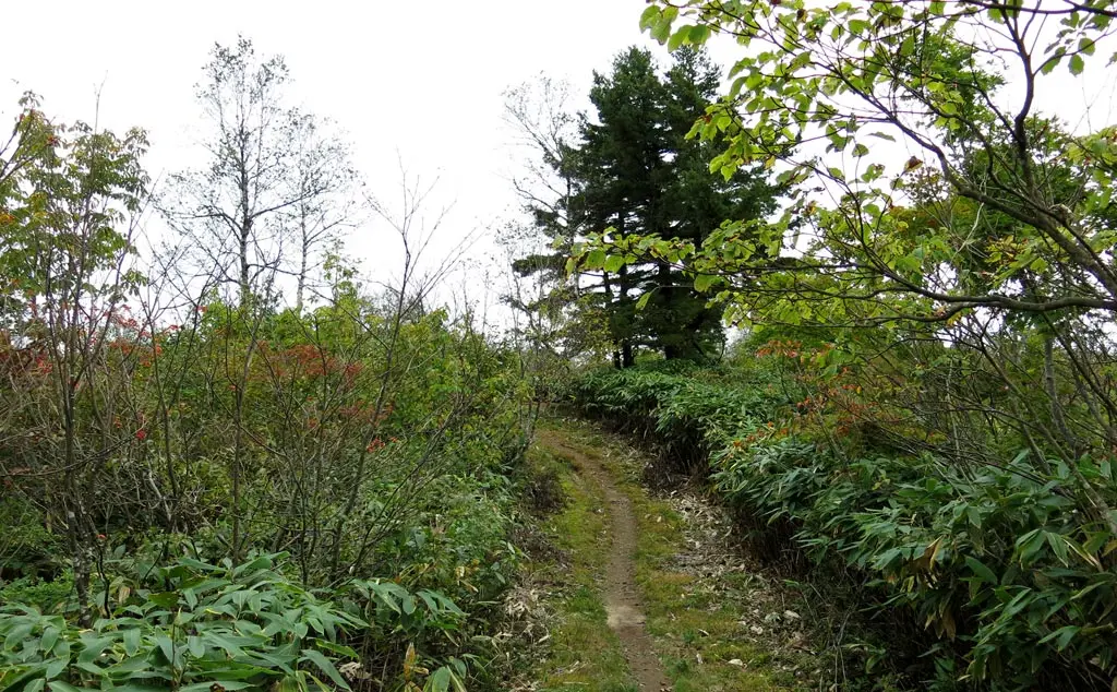
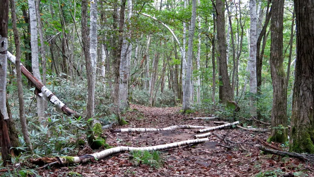
From the ranch, the rest of the trail ran along the ridge of the connecting mountains, and then went up to the peak of Tengaizan.
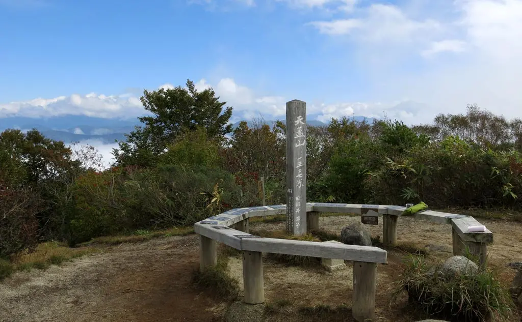
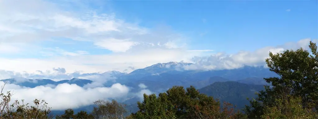
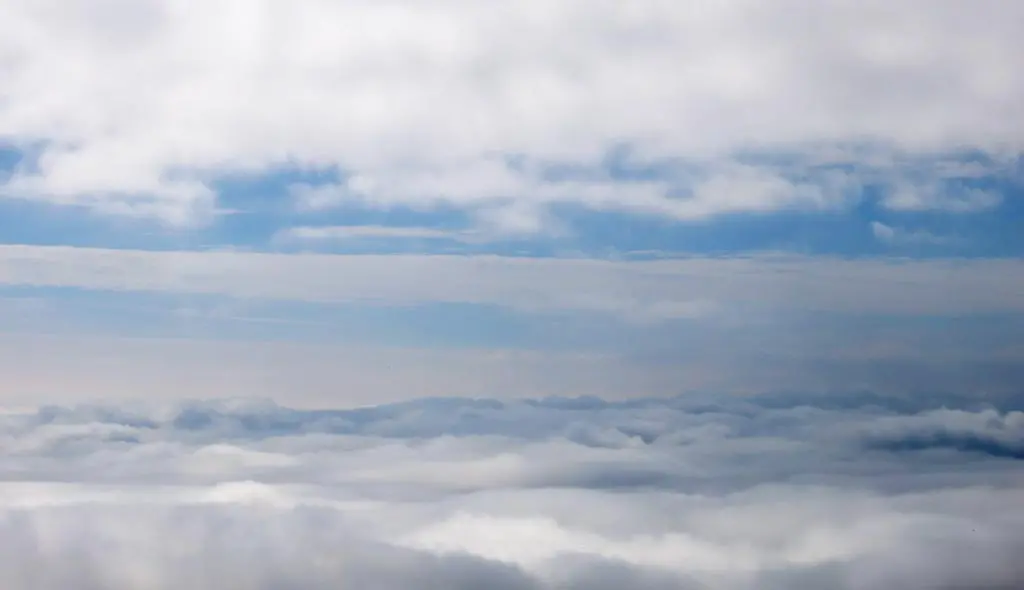
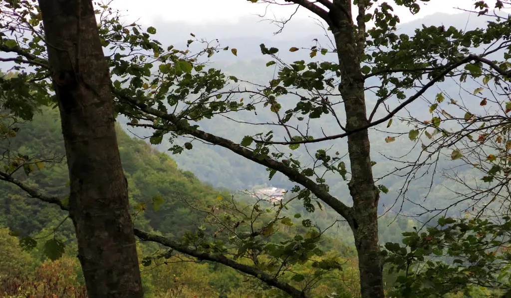
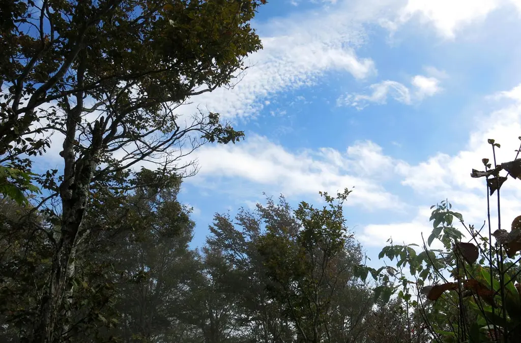
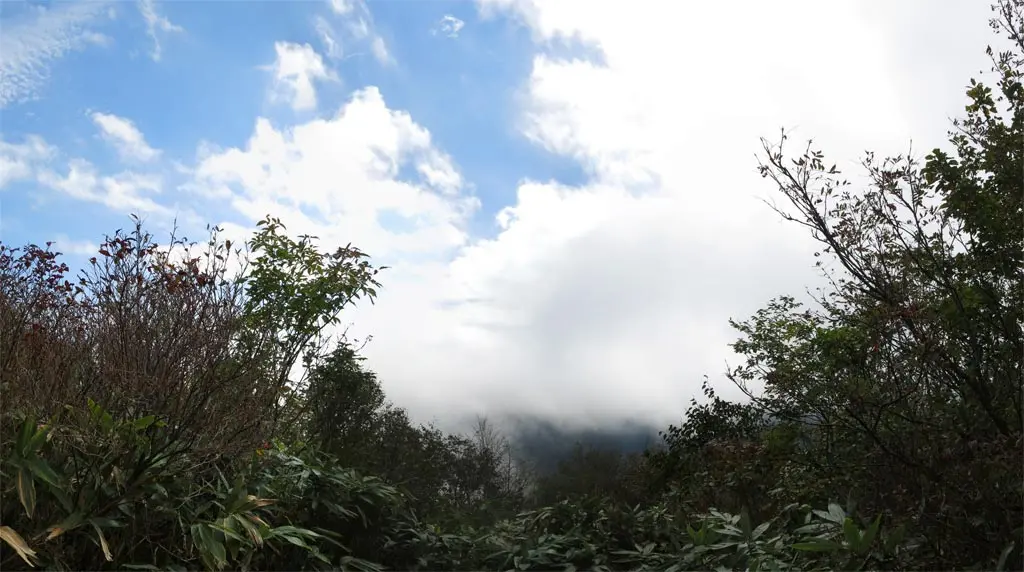
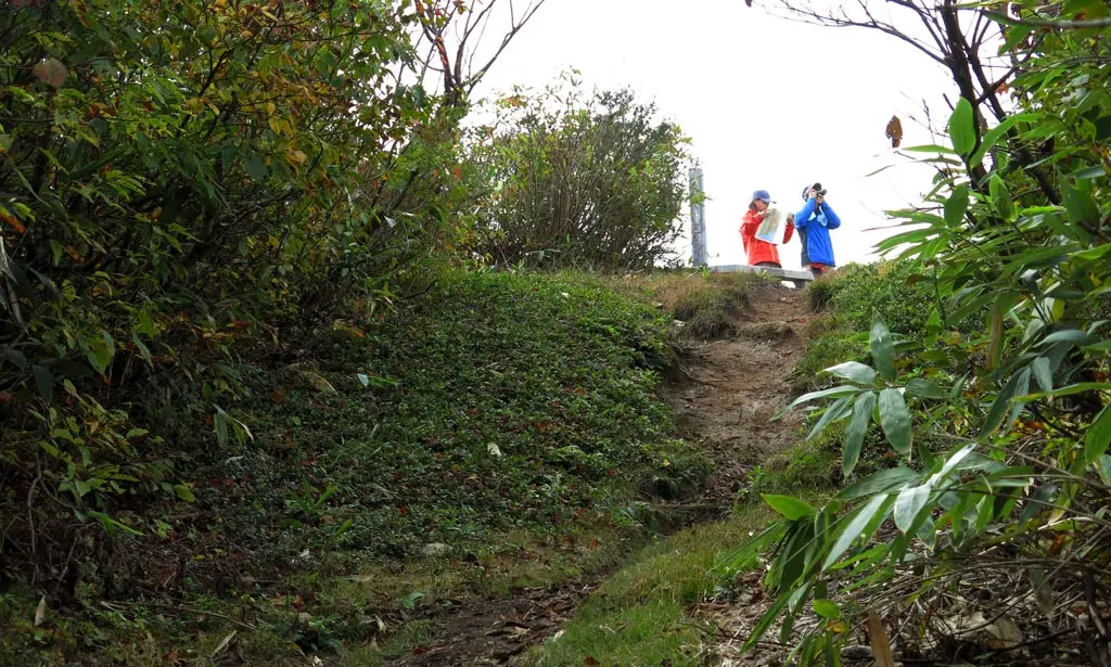
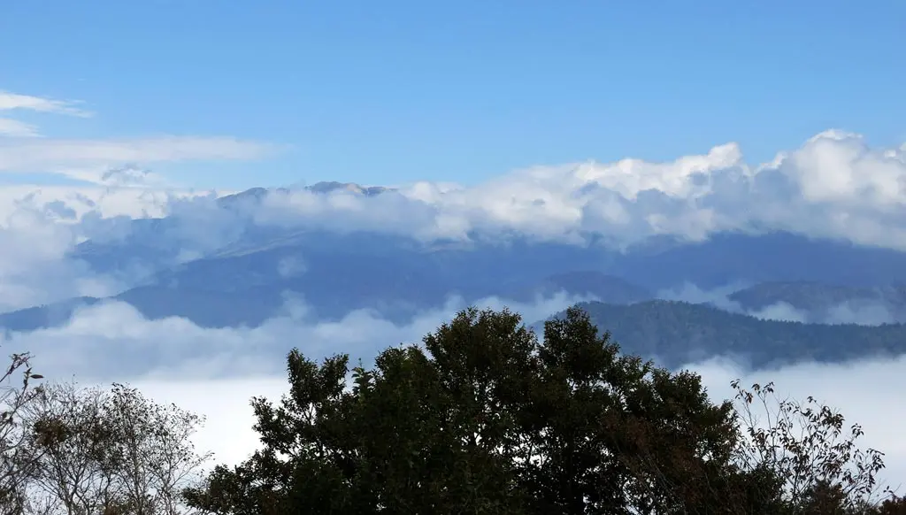
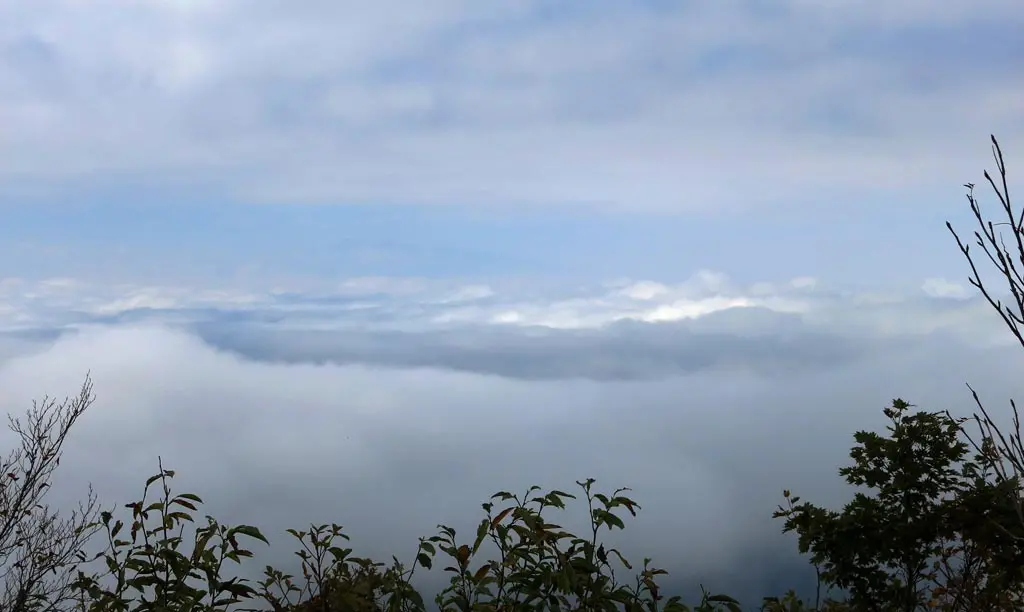
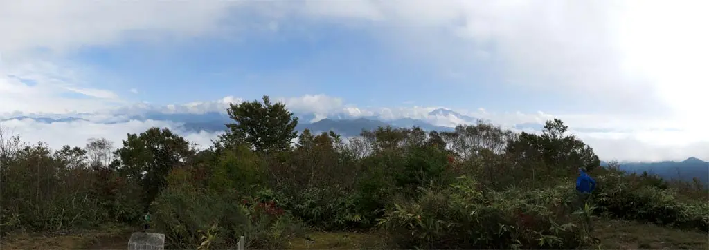
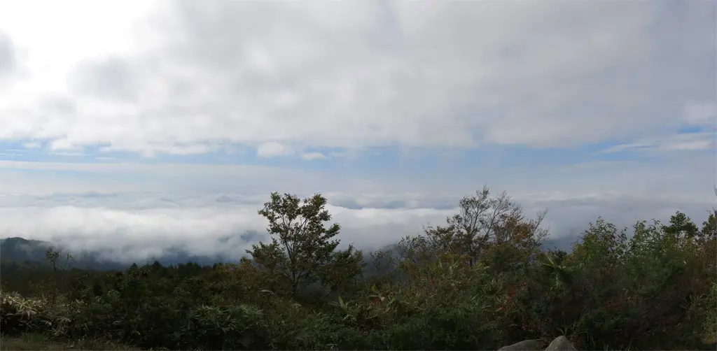
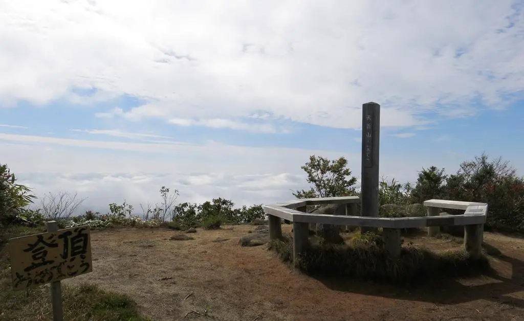
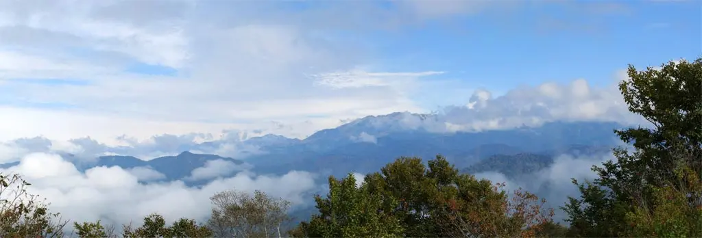
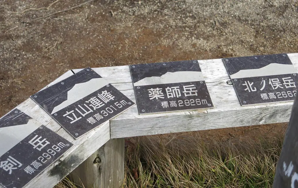
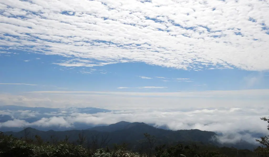
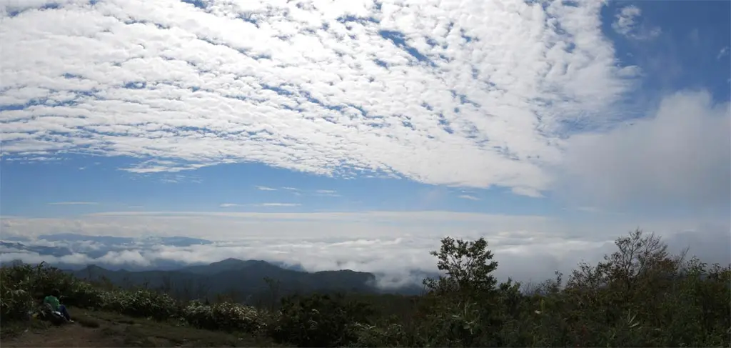
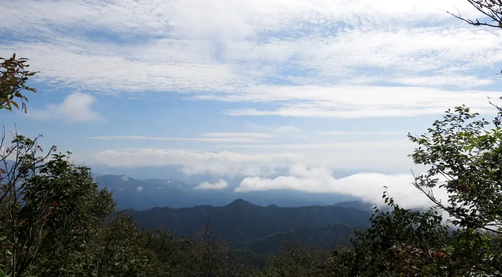
The peak offered a 360 view of the surrounding mountains. But, since the morning, clouds had begun to come in and over the surrounding mountains. Mountains were still visible looking north, but when looking to the south, you could barely see through the clouds.
I think that’s in the direction of Takayama?
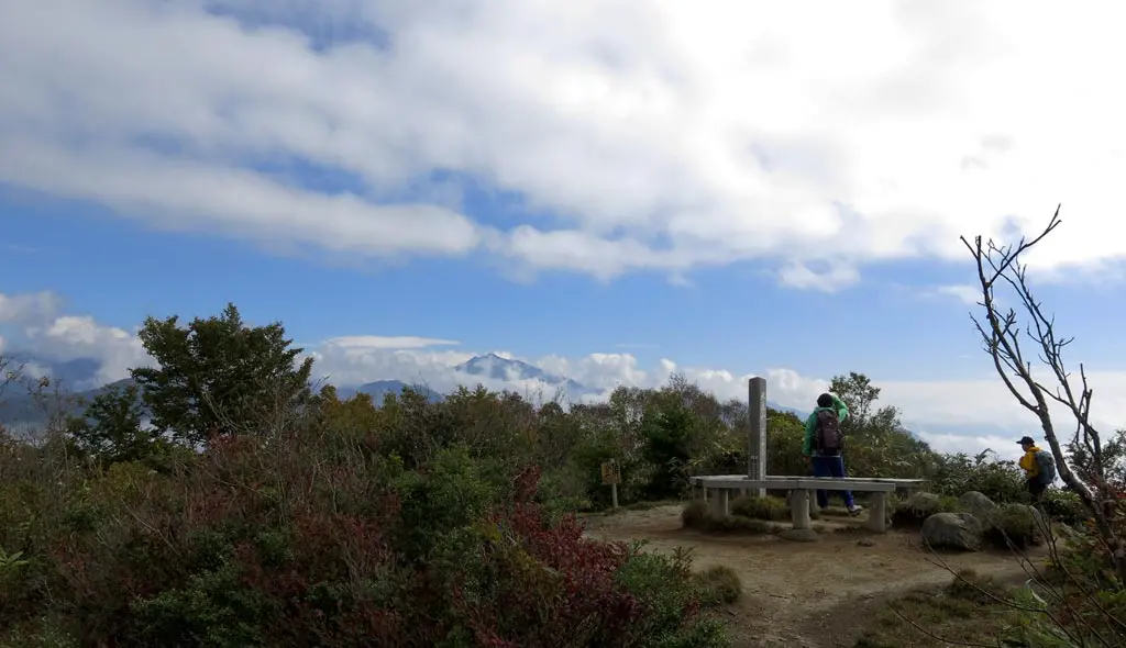
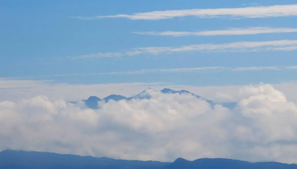
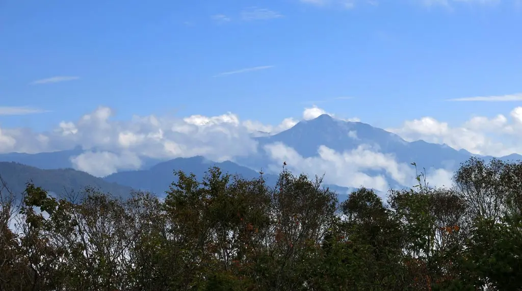
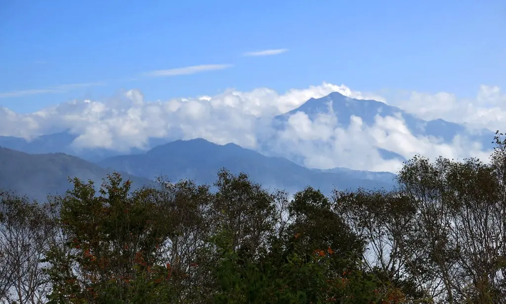
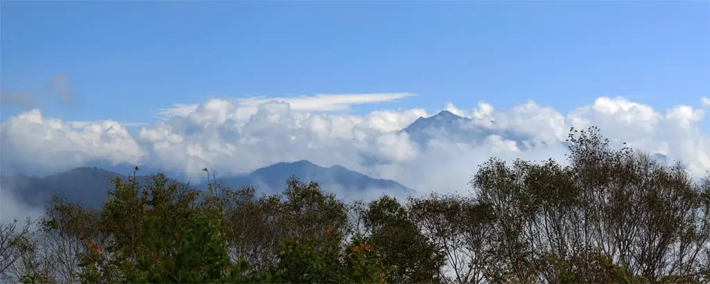
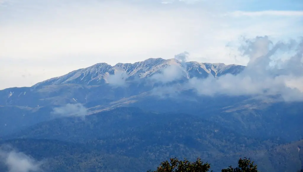
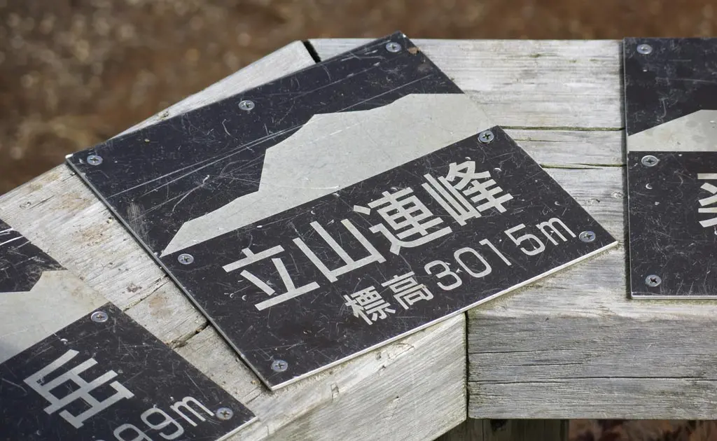
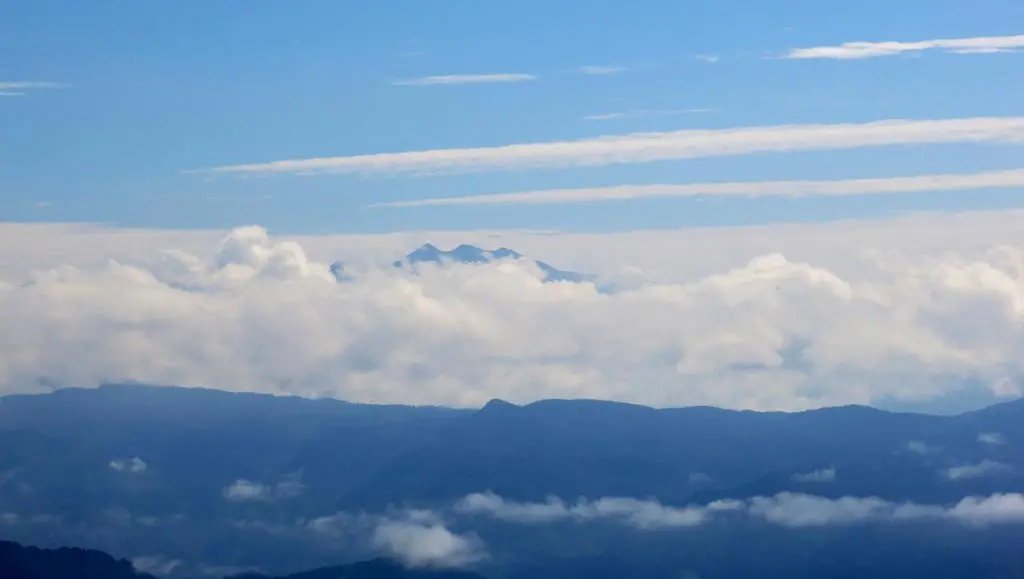
For a brief moment or two, the clouds cleared away to reveal Mt. Norikura. Though, only the top was visible.
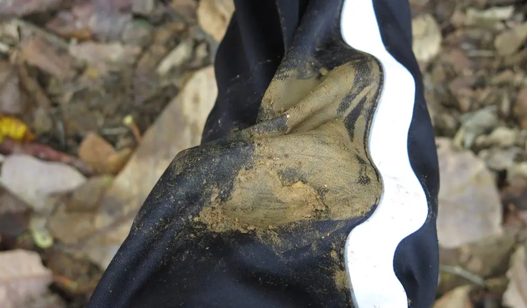
Going back down the same trail was a bit more difficult. Climbing steep terrain can be pretty easy, but descending puts a lot of stress on the knees and calves. I slipped once or twice, too. At one point, my feet lost their grip, and sent me skidding down the trail. I dug my knee into the ground to slow me down.
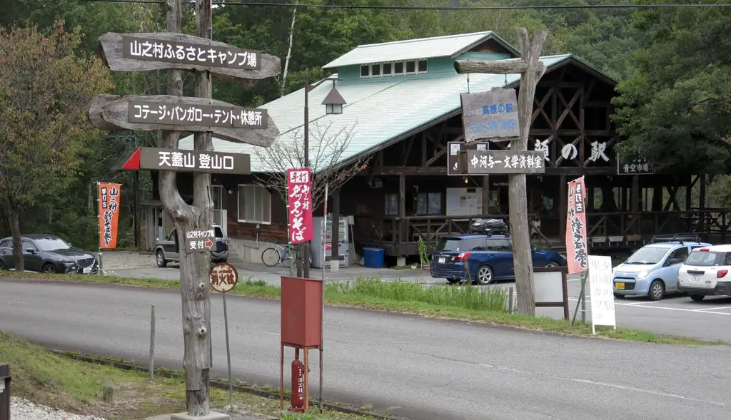
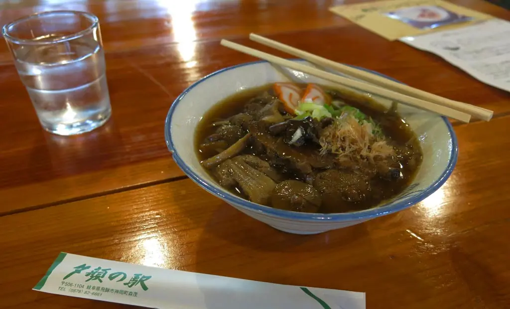
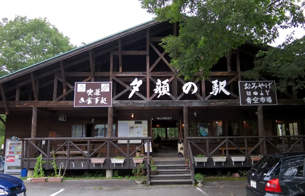
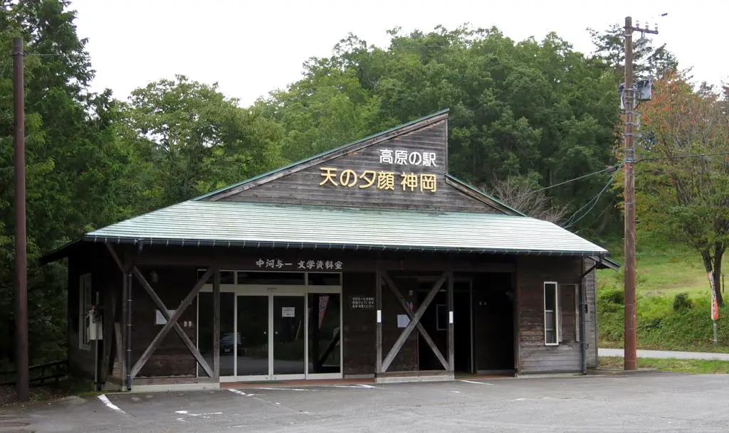
I reached the bottom in about the same amount of time it took me to climb to the top. Not too bad. At the entrance to the hiking trails was a restaurant that served meals to rejuvenate hikers from their long day. I had ramen made from local vegetables and other ingredients.
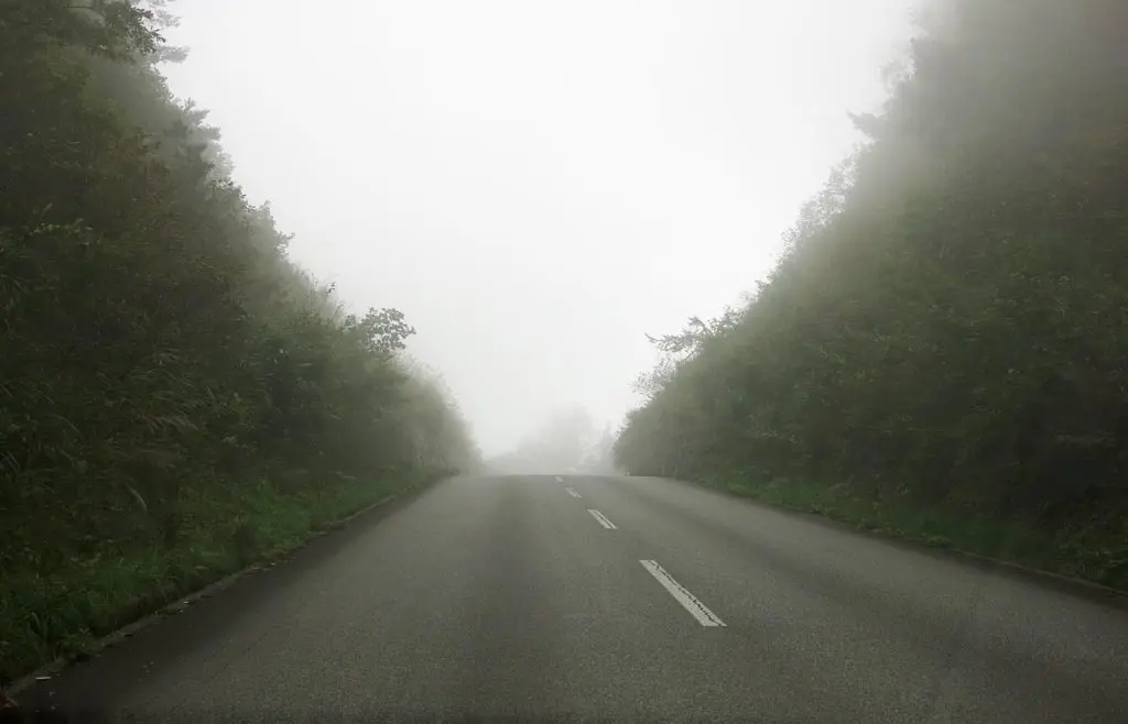
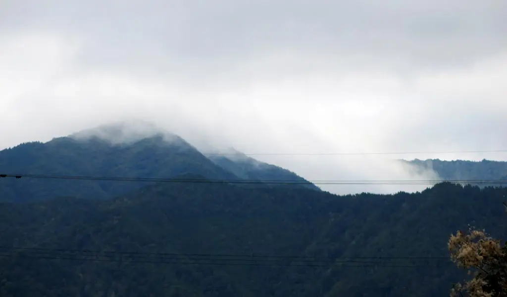
As I departed Yama-no-mura going to Kamioka, the surrounding clouds thickened and started to choke the road.
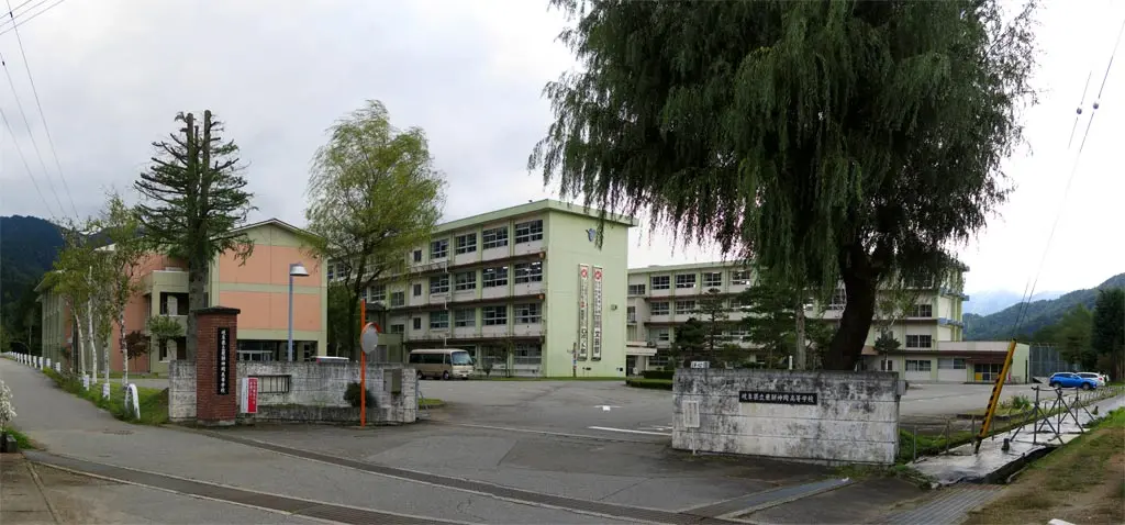
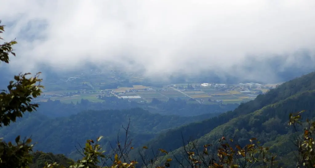
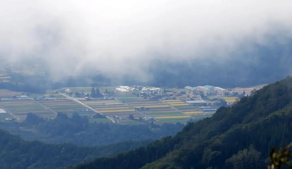
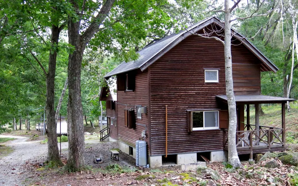
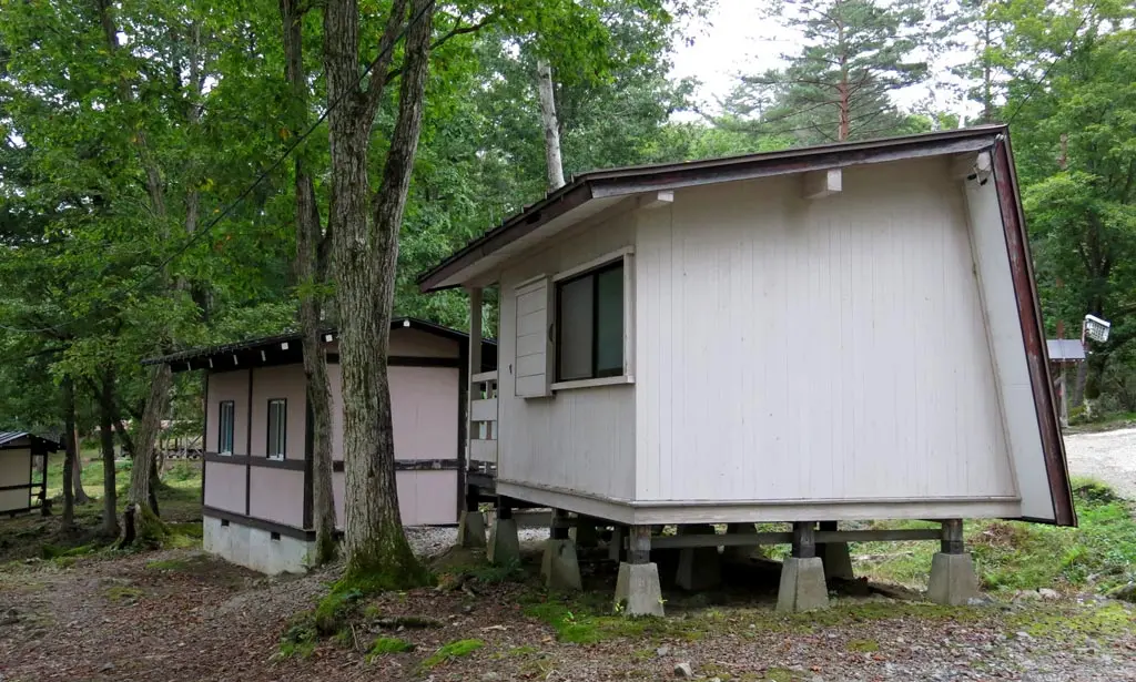
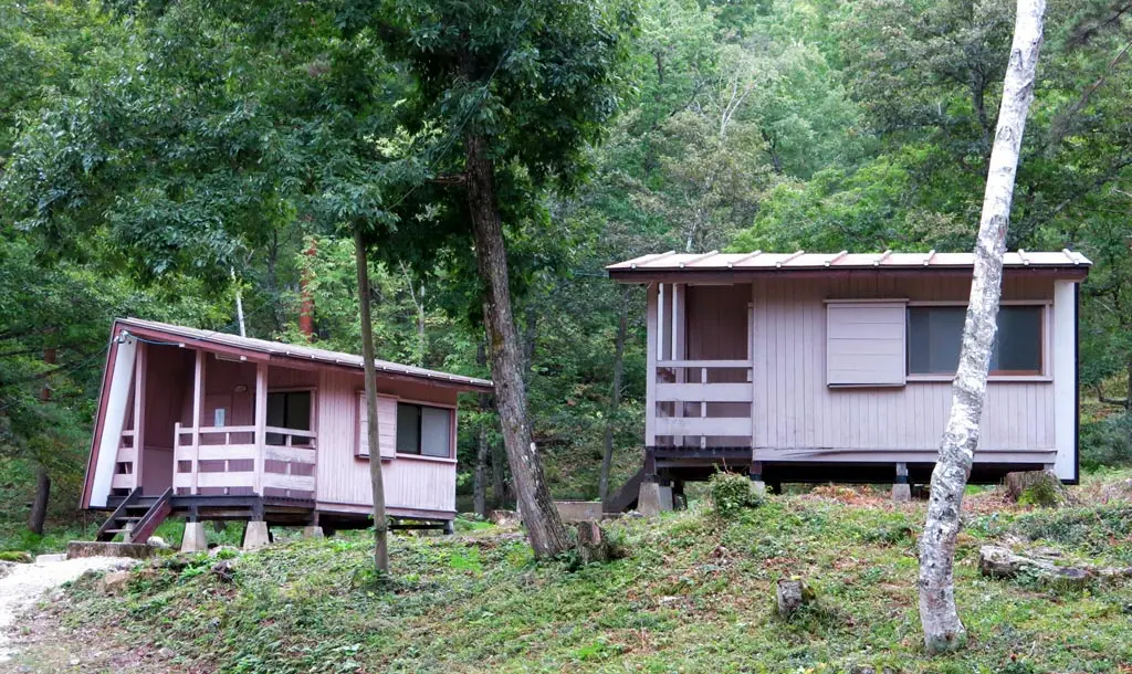
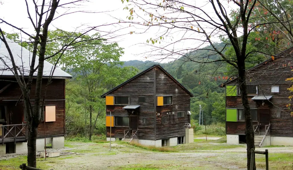
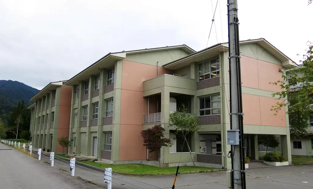
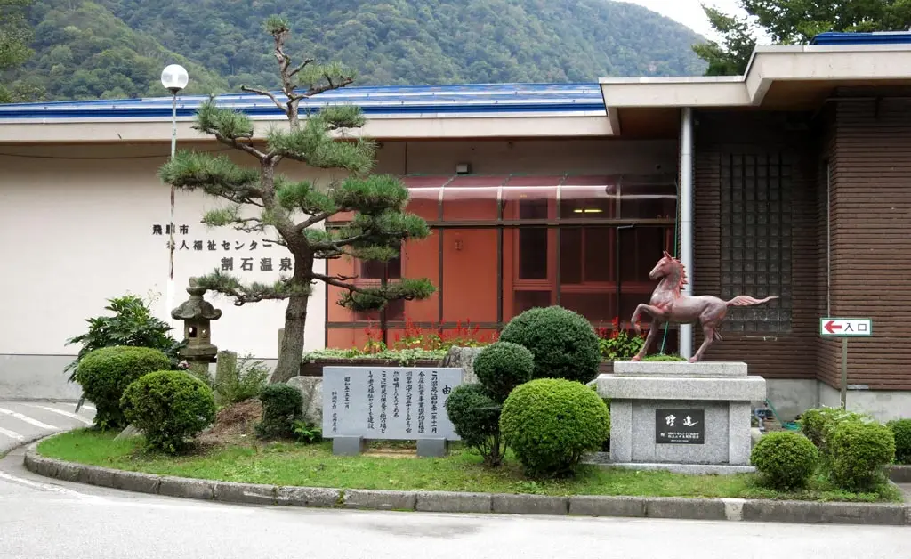
From the peak of Tengaizan, I saw something buildings (here) that looked pretty official. I looked on my phone, and it appeared to be Kamioka High School, but I wasn’t quite sure. When reaching the bottom of the road leading to Yama-no-mura, I took a right and started going to Kamioka to try and find these buildings.
I took a little bit of searching around, but I was able to find them.
They are marked on Google Maps, but I was sure if these buildings were what I saw from the mountain peak. Seeing them up close confirmed that they were indeed.
It’s not conveniently located, though. Any students that actually attend this school would have to live up here. It didn’t seem like any dormitories were around here either. So those students would have to live in town, which was another 10 minutes away. There was a direct road, but it was quite far for someone to walk, especially in the winter. It seems pretty rough.
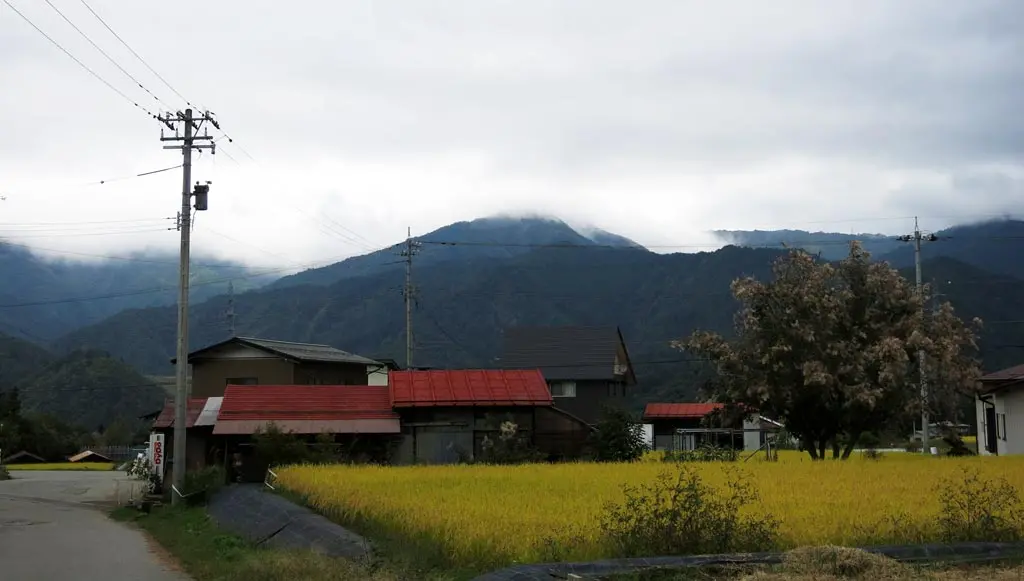
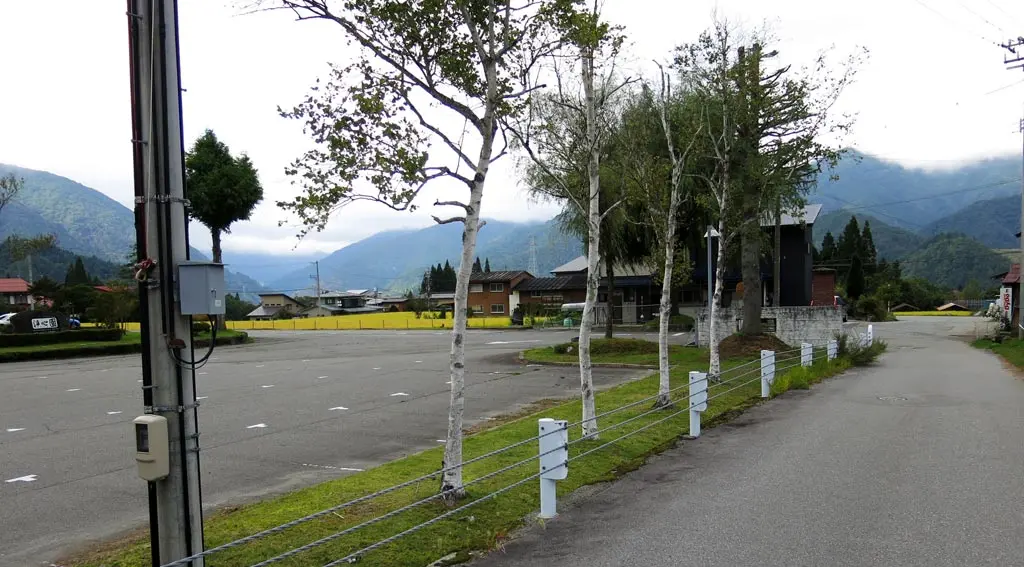
Tengaizan towers over Kamioka High School, but by this time, the clouds had completely covered it. Luckily, I had hiked it earlier in the day while it was still somewhat clear.
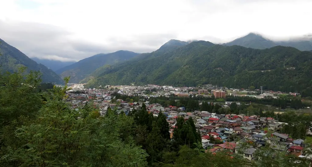
Taking the road into town gave a gorgeous view of Kamioka, a once busy mining town, now mostly empty and rundown after the closure of the mine.
A really great hike, even though the clouds covered most of the view from the peak. On a completely clear day, this would look absolutely incredible.
Anyway, another hike crossed off the list.
| 9:25am | Mountain Hiking Entrance 登山口 | N36° 21’ 51.6”, E137° 22’ 29.6” | |
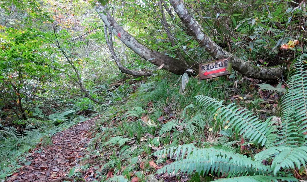
| 9:50am | walking 歩く | Steep Slope Sign Post 急坂の案内板 | (around 1150m) |
| 10:19am | walking 歩く | Doruiato Ranch Site 土塁跡 | N36° 21’ 04.5”, E137° 22’ 24.0” ?? |
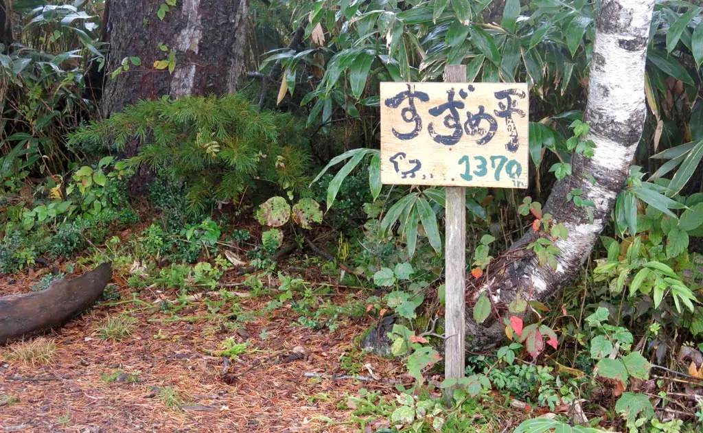
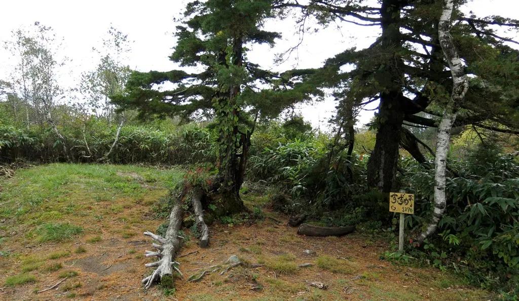
| 10:23am | walking 歩く | Suzume Daira 雀平 | N36° 20’ 58.8”, E137° 22’ 11.6” |
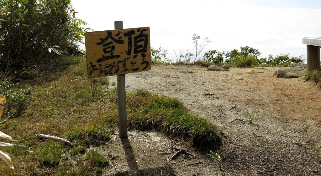
| 10:57am | walking 歩く | Tengaizan Summit 天蓋山 峠 | N36° 21’ 00.9”, E137° 21’ 44.1” |
| 11:33am | Began Descent 下山開始 | ||
| 11:57am | walking 歩く | Suzume Daira 雀平 | N36° 20’ 58.8”, E137° 22’ 11.6” |
| 12:33pm | walking 歩く | Steep Slope Sign Post 急坂の案内板 | (around 1150m) |
| 12:56pm | Mountain Hiking Entrance 登山口 | N36° 21’ 51.6”, E137° 22’ 29.6” |
