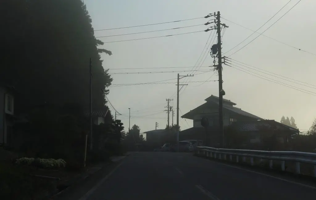
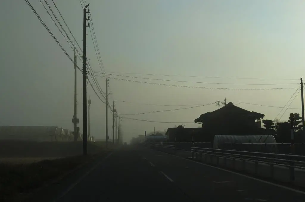
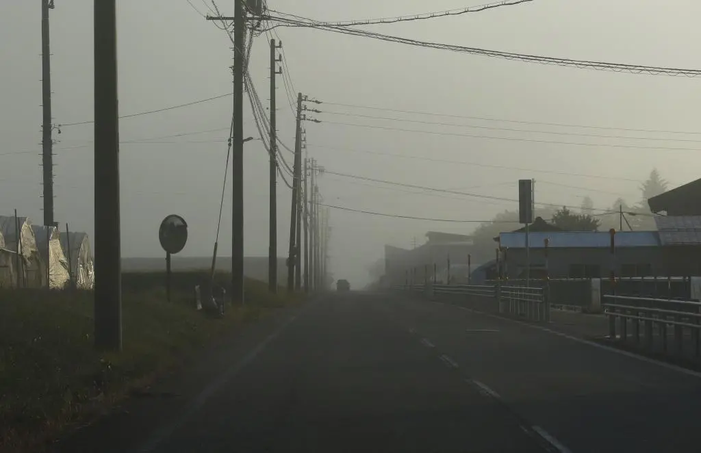
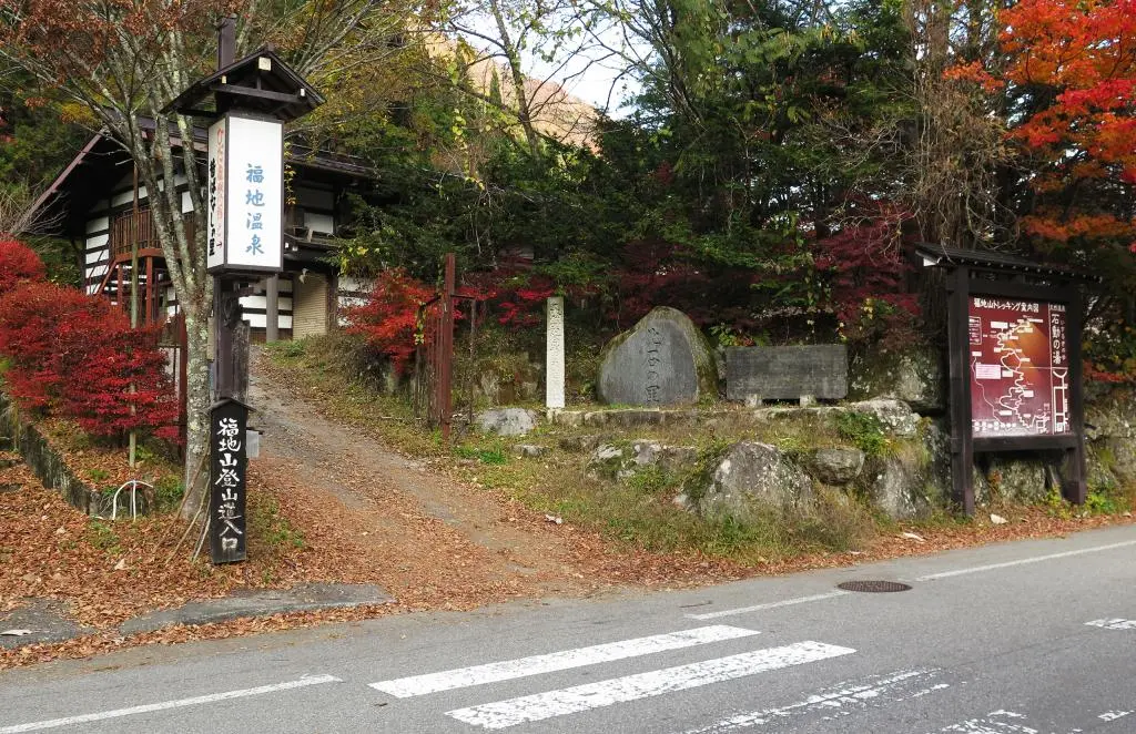
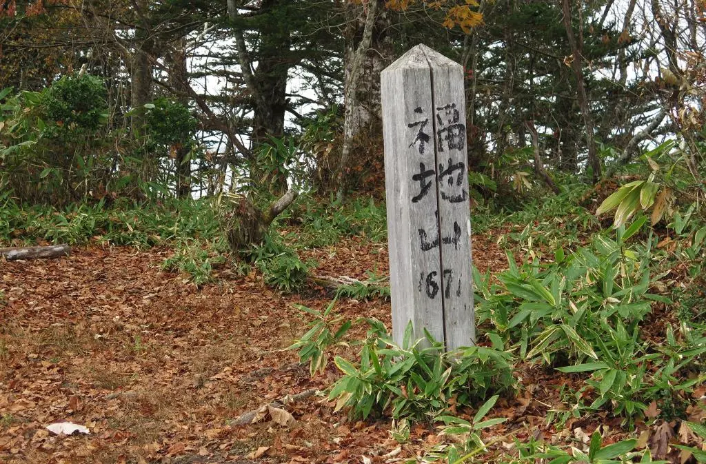
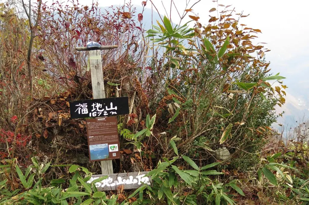
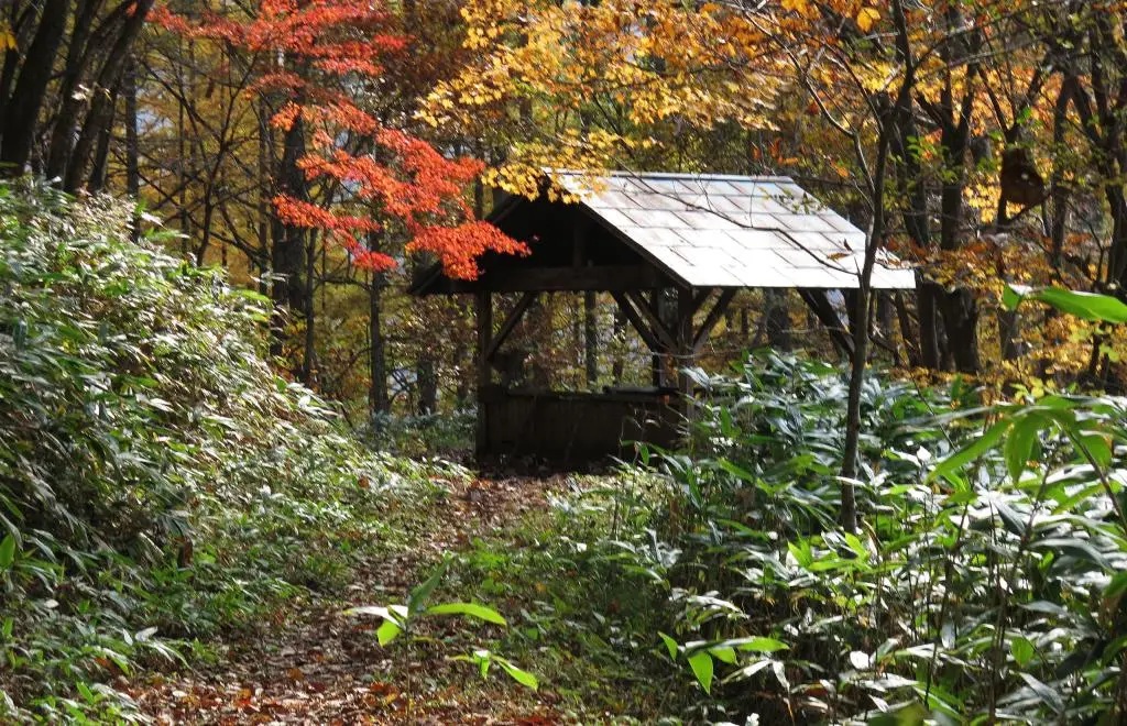
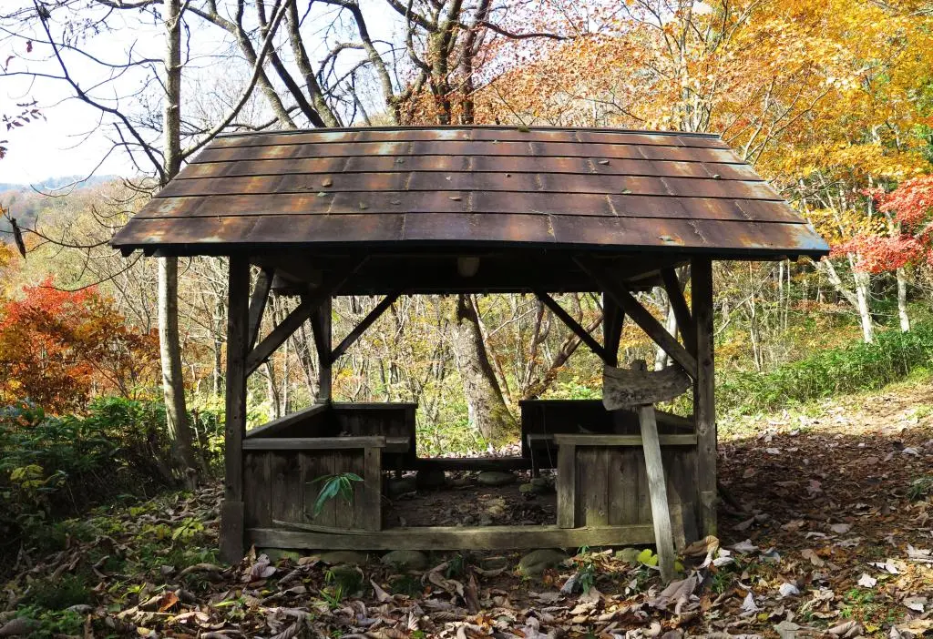
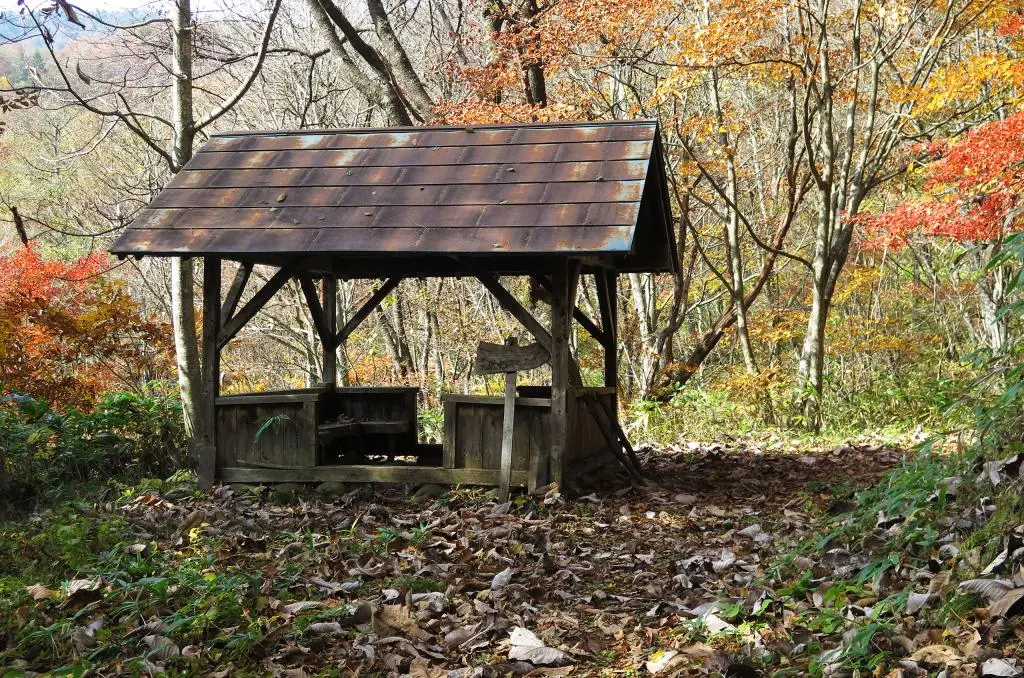
Fukuji-yama is a mountain in the eastern country of Takayama. It is overshadowed by many of the other great mountains in the area, but still a great morning climb for those staying in the Hida-yuu area. I had this mountain on my list of places to climb for years, and with recent motivation, I decided to finally tackle it.
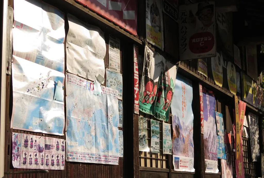
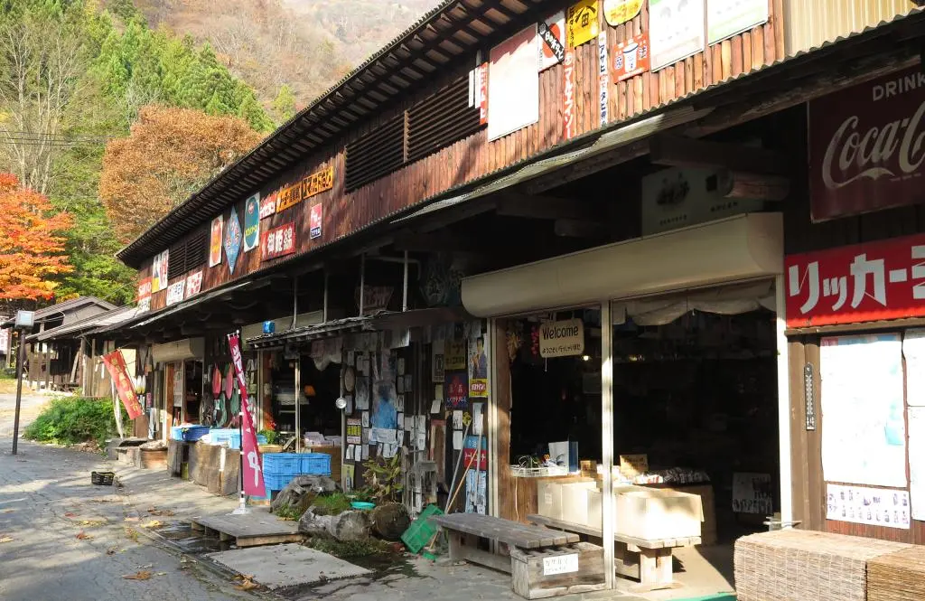
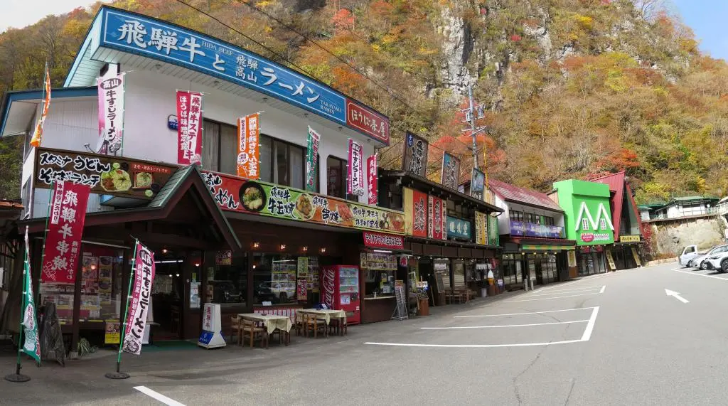
One of the big reasons for my visit was the morning market in the neighborhood at the base of the hike.
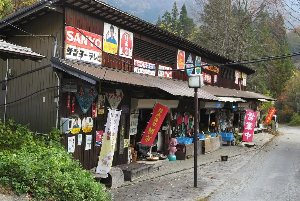
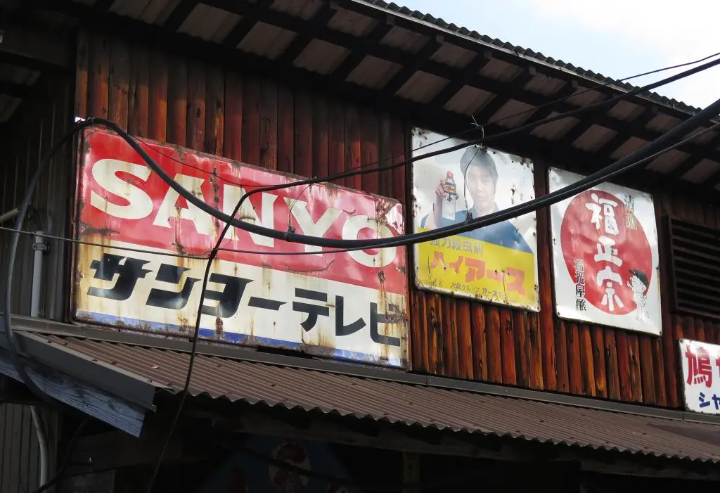
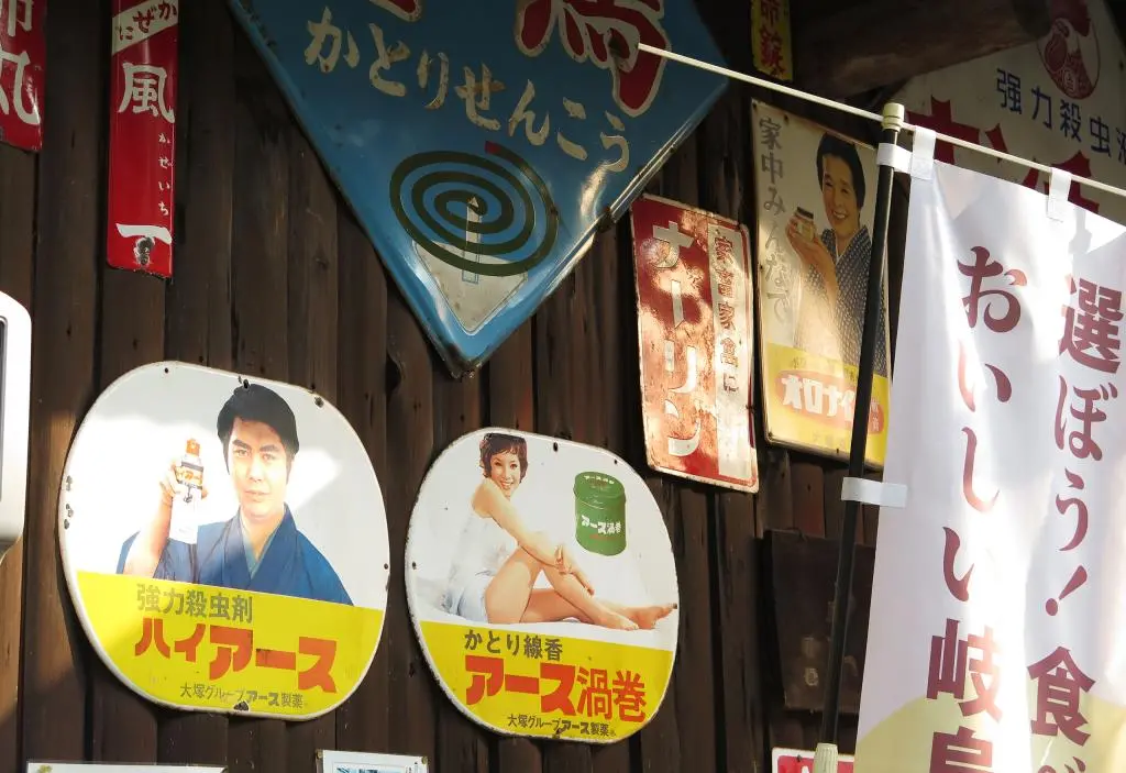
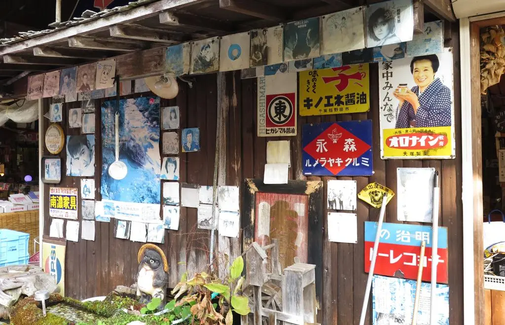
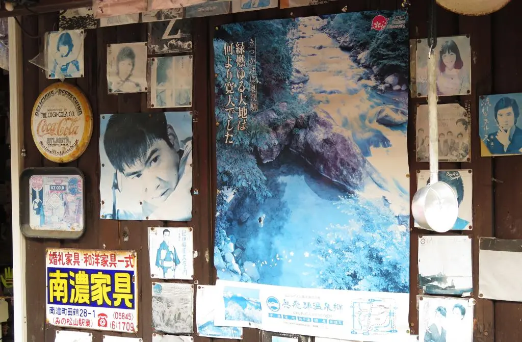
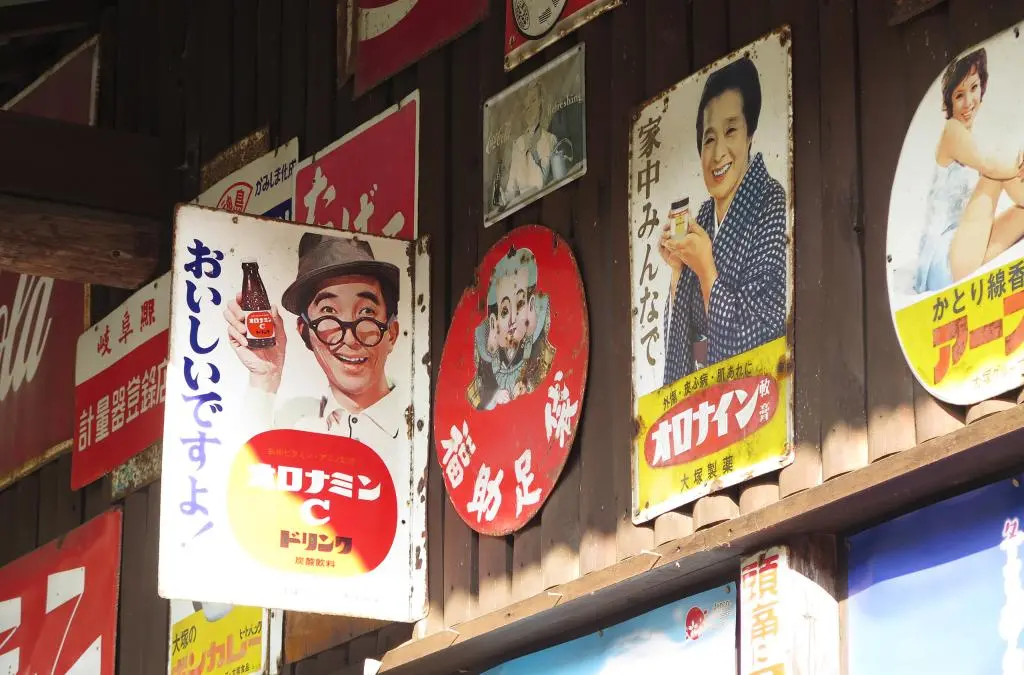
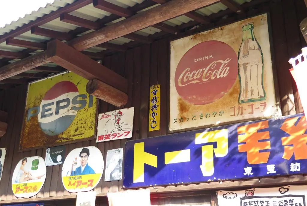
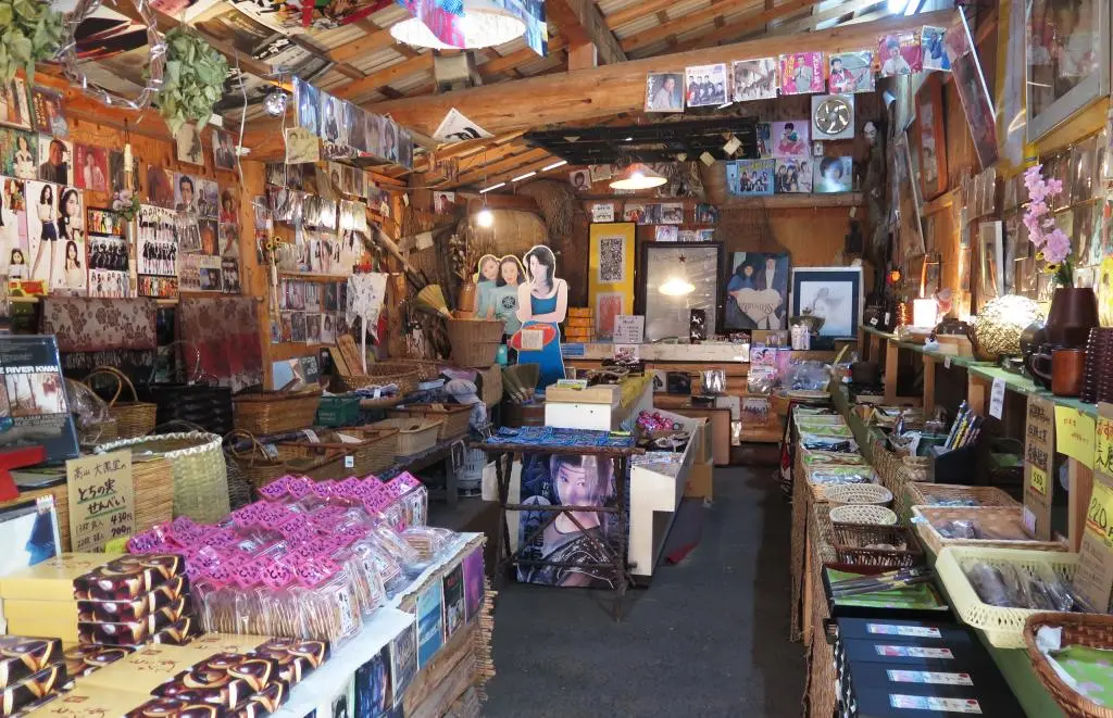
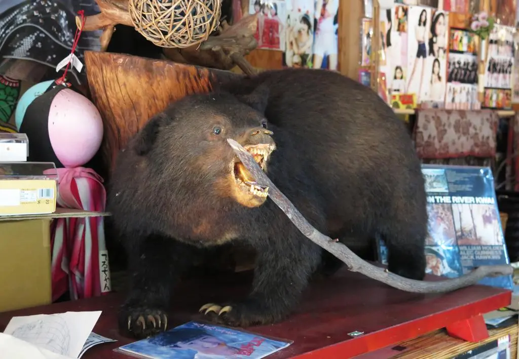
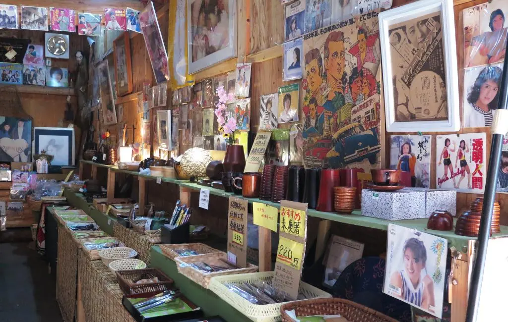
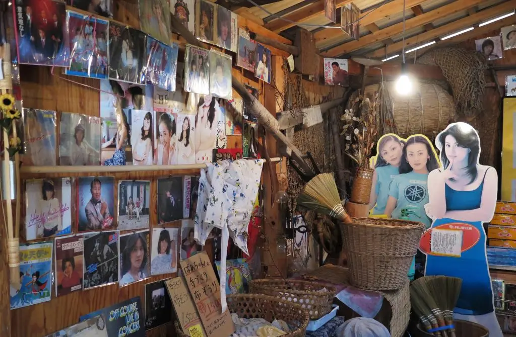
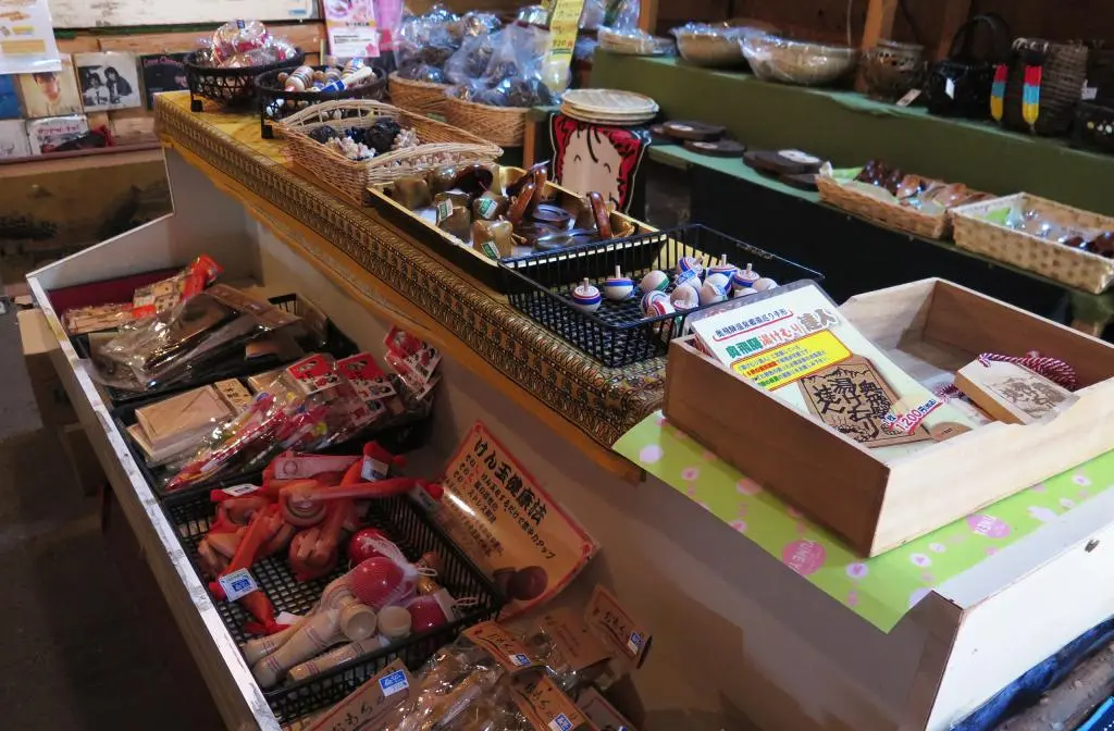
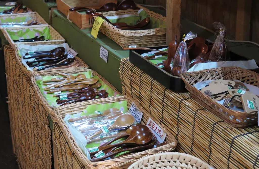
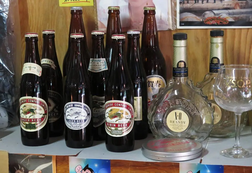
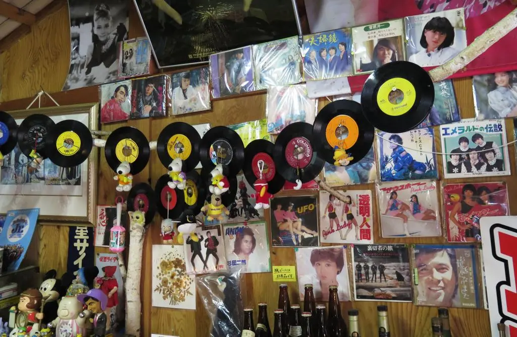
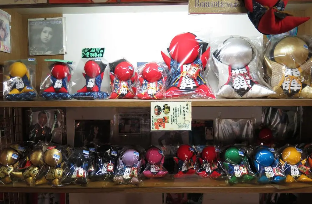
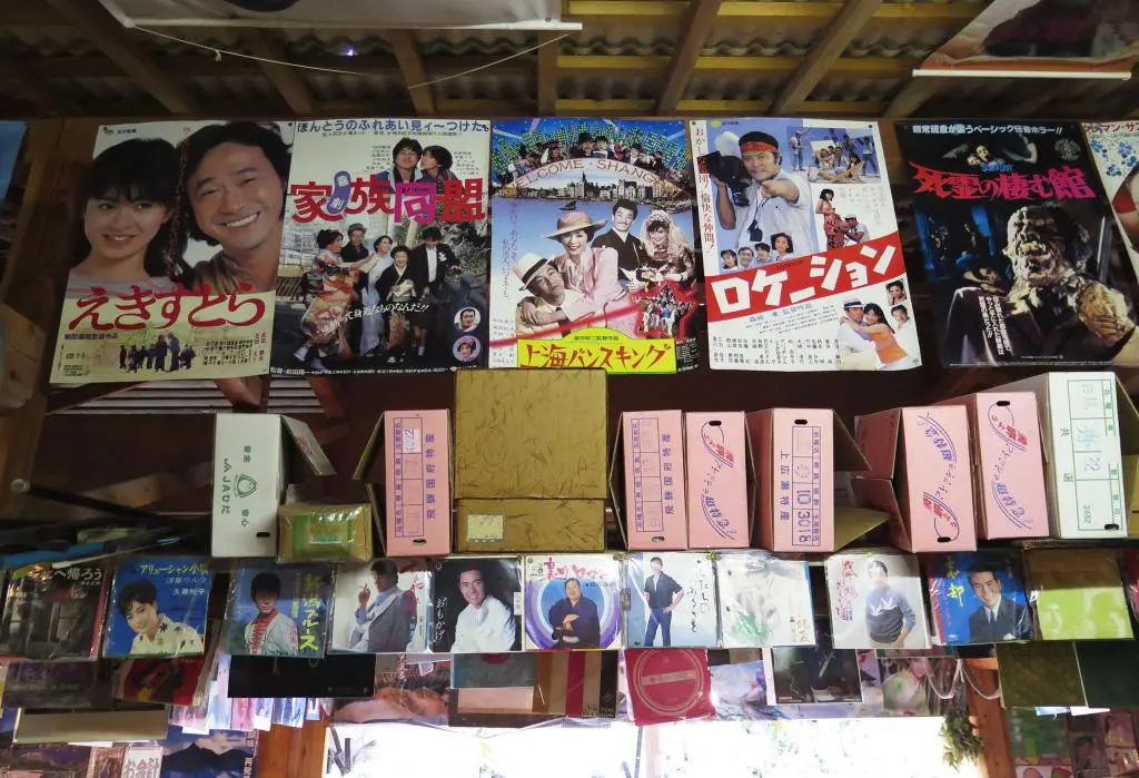
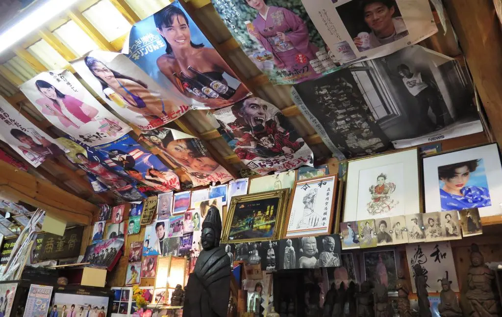
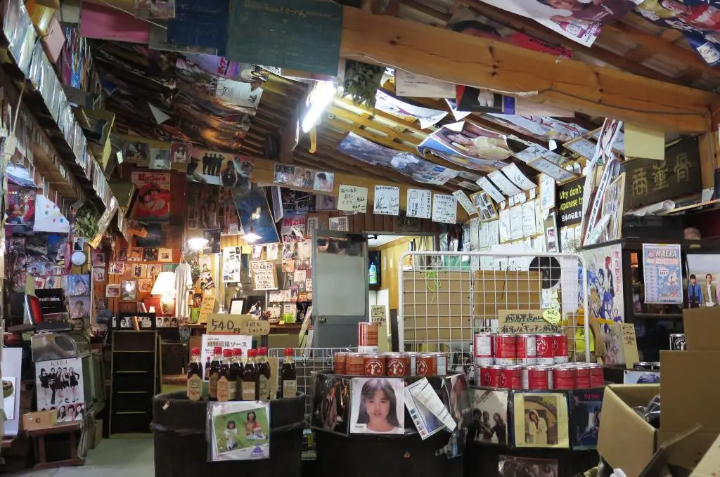
The morning market worked as a convenient store, a souvenir shop, and a retro museum all in one. The outside of the building was covered with old advertisements from the 60s. Inside, the walls and ceiling were covered with records and posters of idols and musicians from the 70s and 80s. The whole building was a time capsule of when Japan was rich and everyone enjoyed their music.
The market sold older classic toys, like Kendama, and had plenty of Hida souvenirs, too. I only bought a bottle of water and a map of the hike.
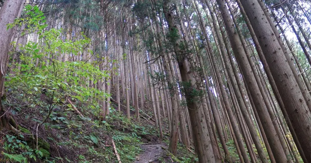
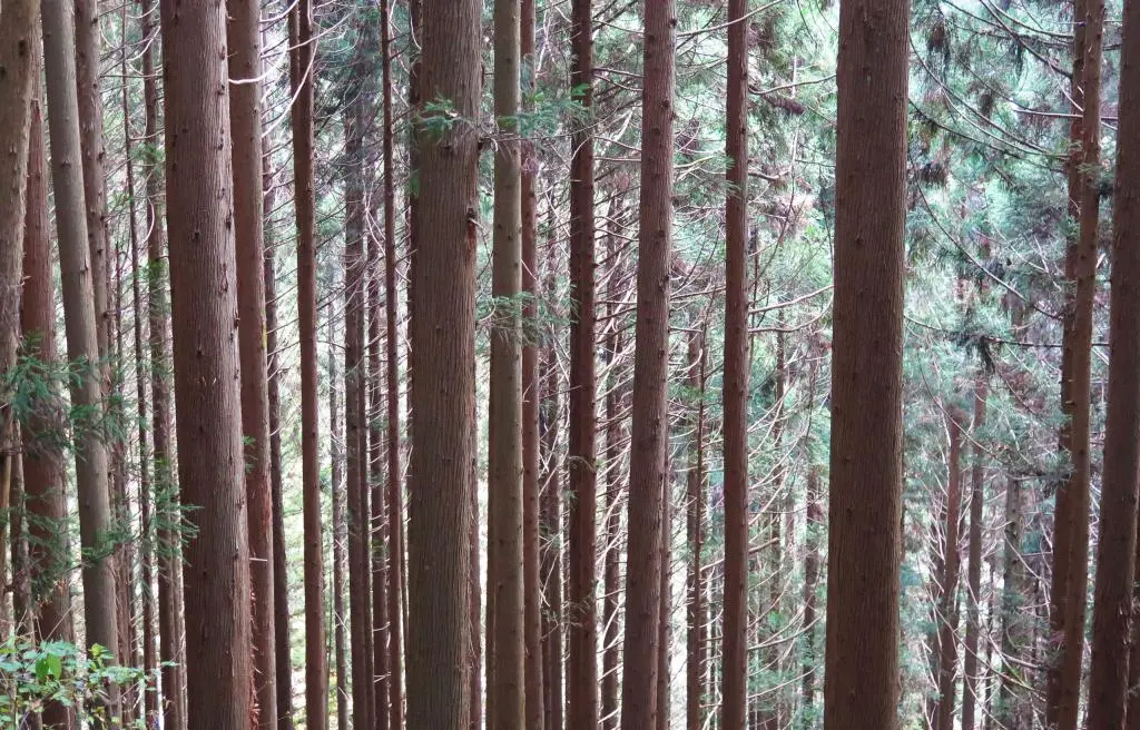
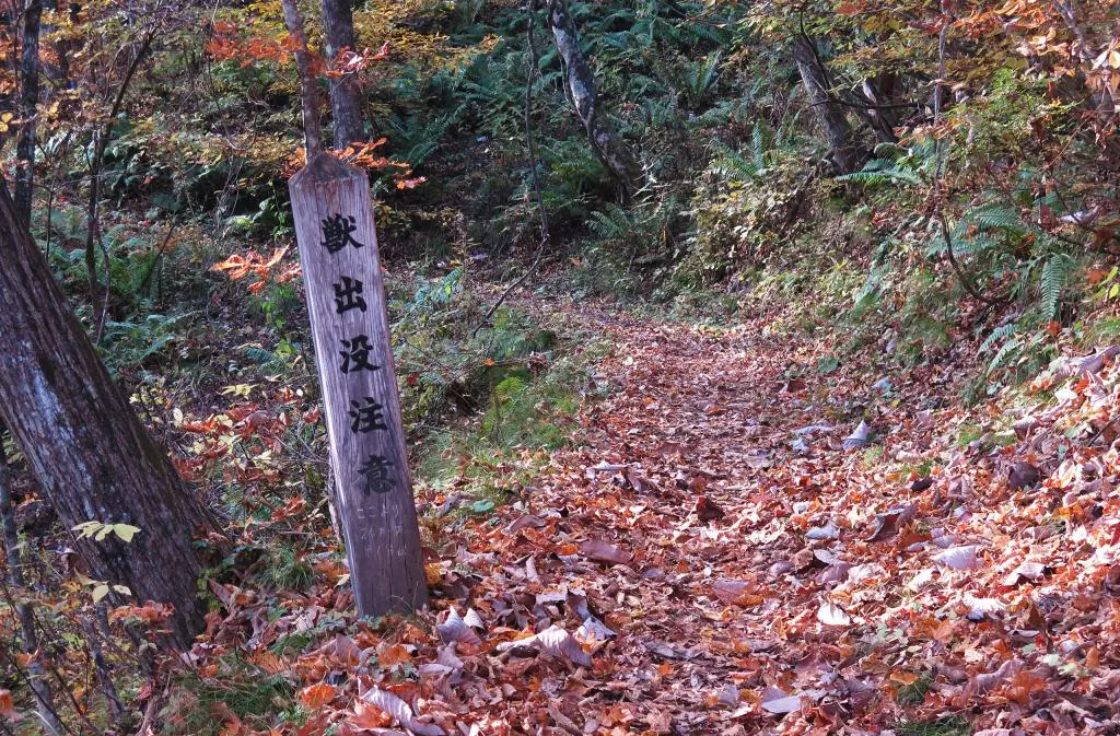
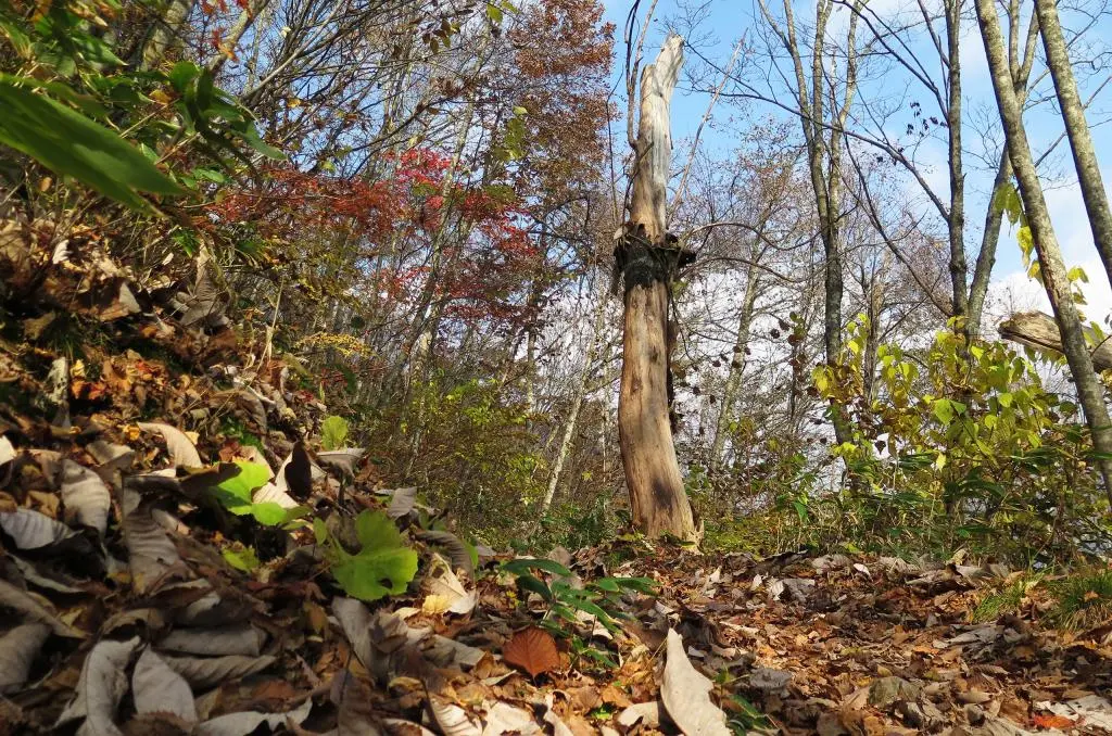
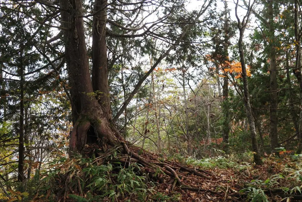
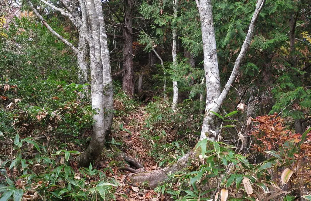
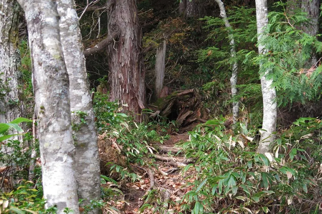
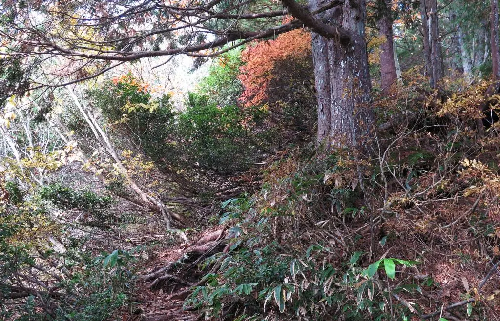
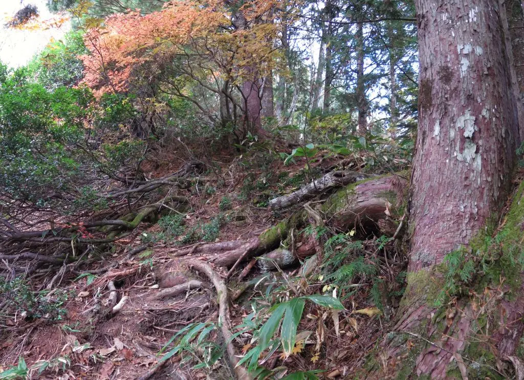
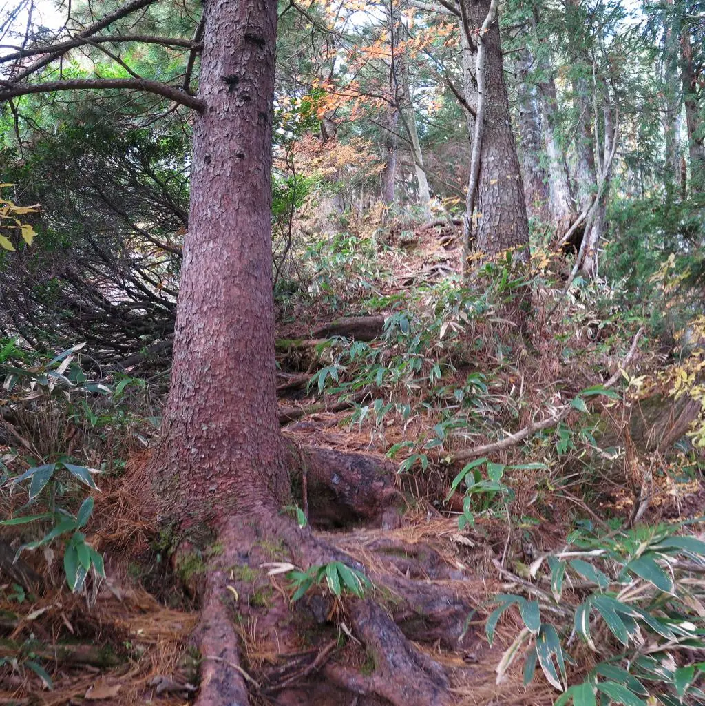
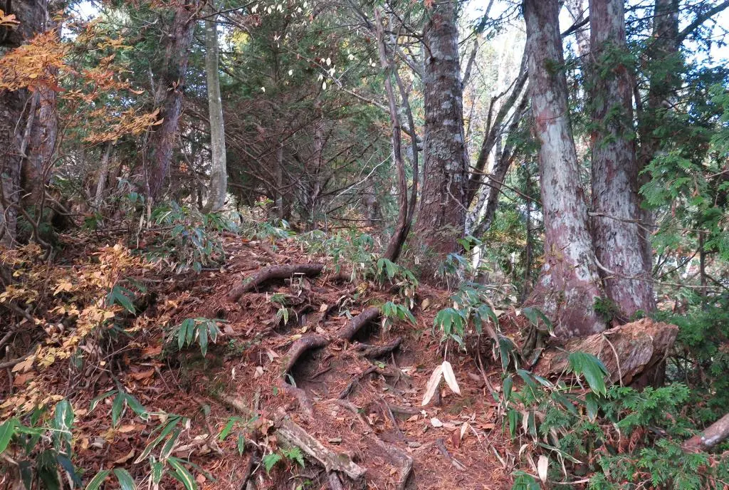
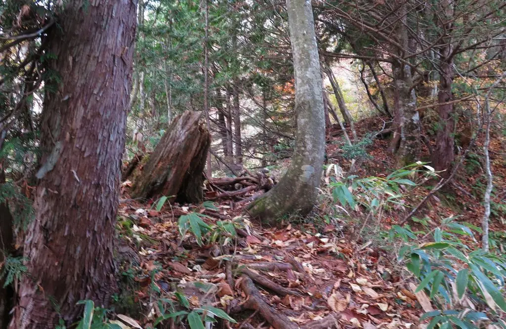
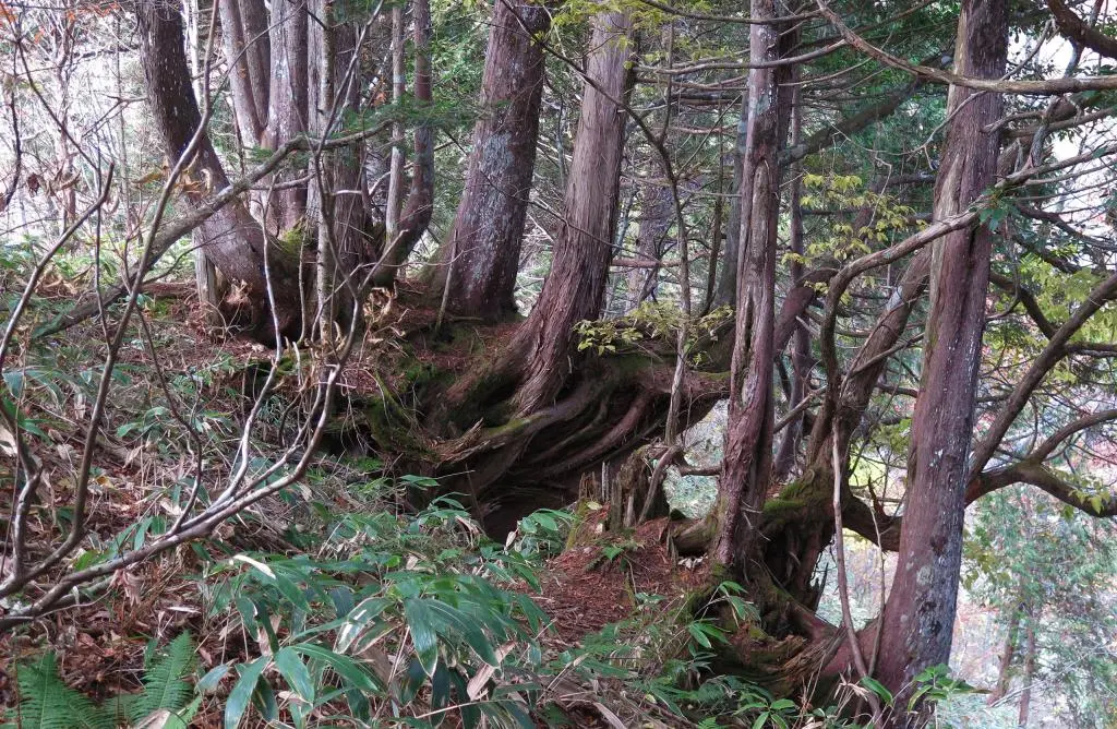
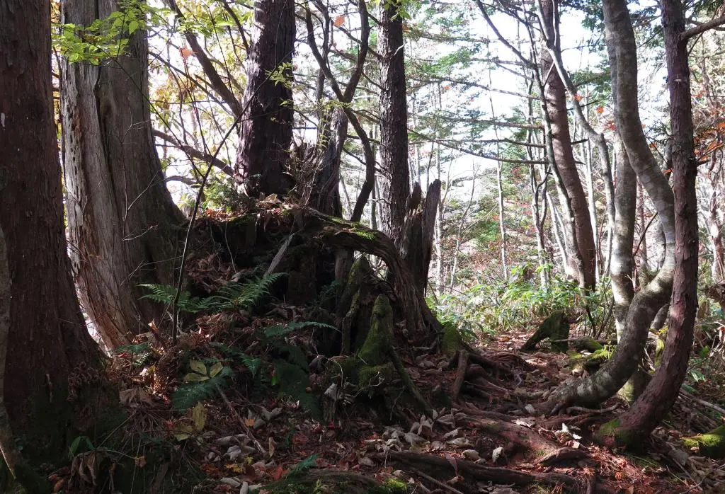
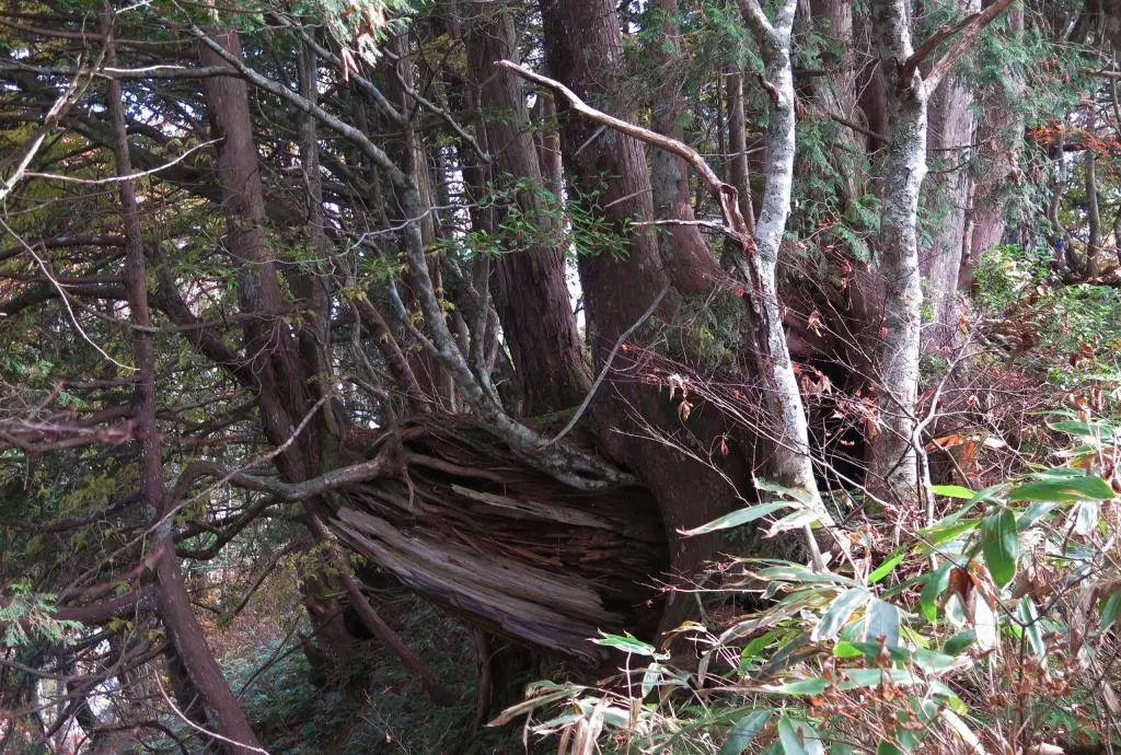
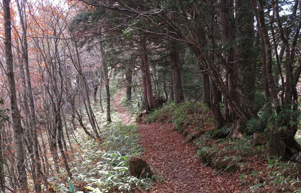
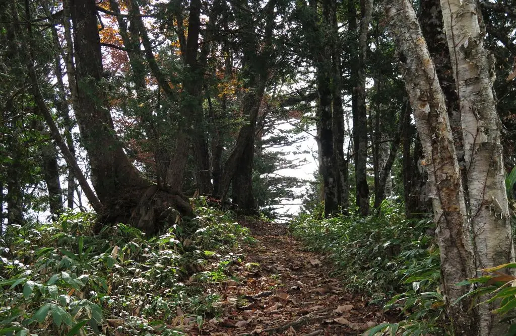
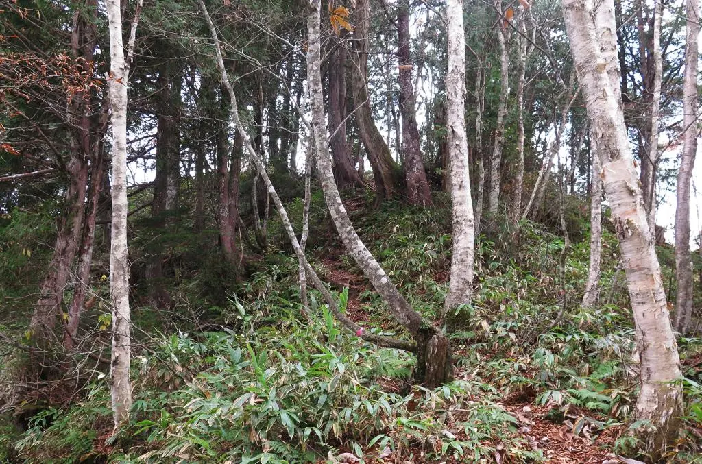
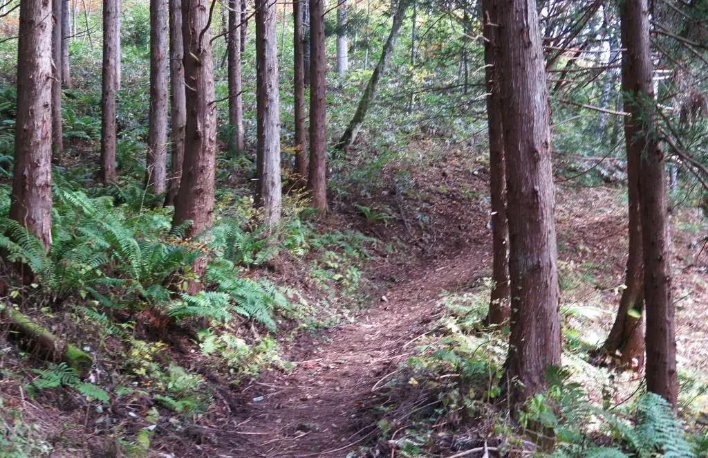
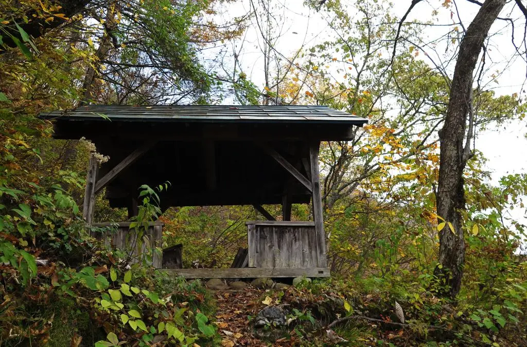
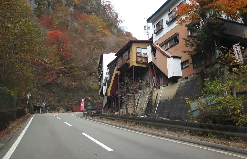
With all my items packed in my bag, I began the hike. The whole area of Fukuji and Hida-yuu is in a very deep valley. Once you got to the edge of the valley, the hike up the mountain was almost complete vertical. The hiking snaked back and forth, back and forth up the mountain-side, surrounded by equally vertically trees shielding you from the sky.
Obviously mountain hiking has a lot of vertical ascents, but I wasn't really prepared for how continuous this was. It was like a stair climb. I eventually caught up with another couple of hikers. They were from Montana and staying in Hida-yuu for the night. They thought they would do a quick morning hike before their bus at noon, but were also surprised with how rough the hike had been.
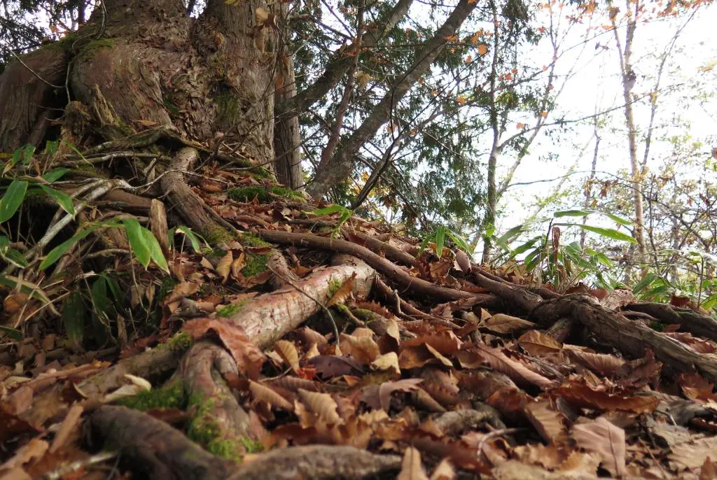
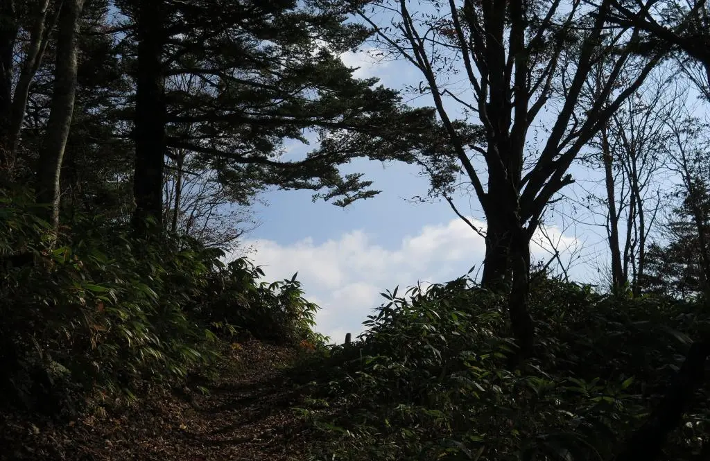
Additionally, often the hiking trail would be obscured. It was hard to tell where the trail headed compared with the surrounding ground. At one point, I went straight up, not realizing the trail was meant to snake around and come back to where I was.
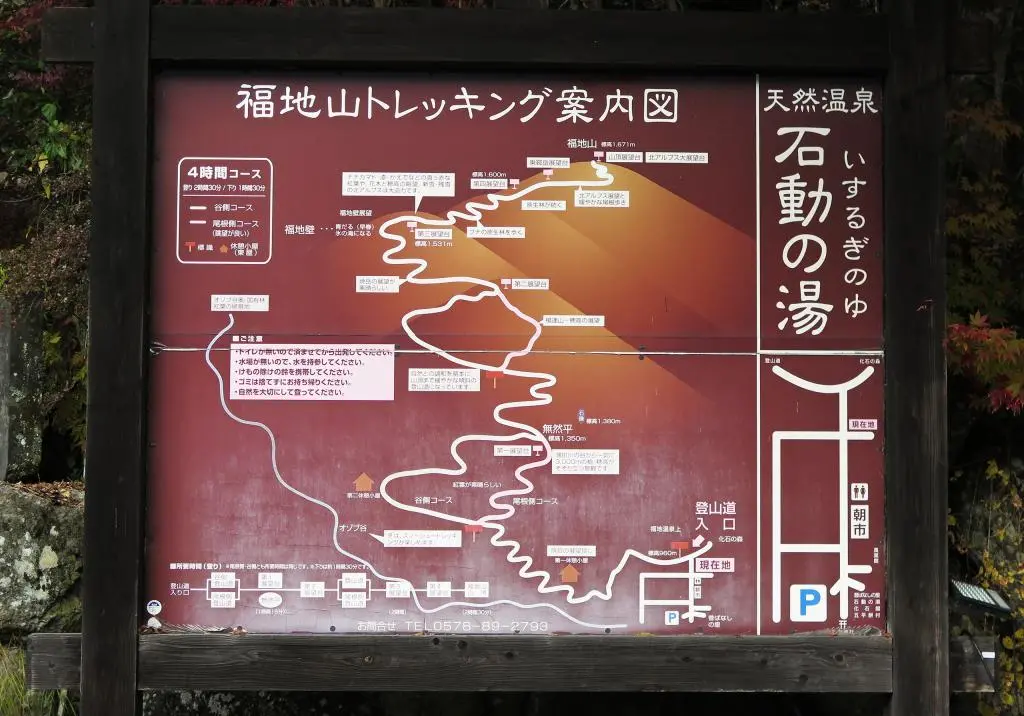
The maps where also inaccurate.
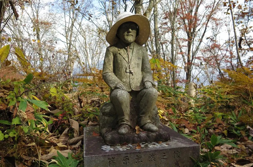
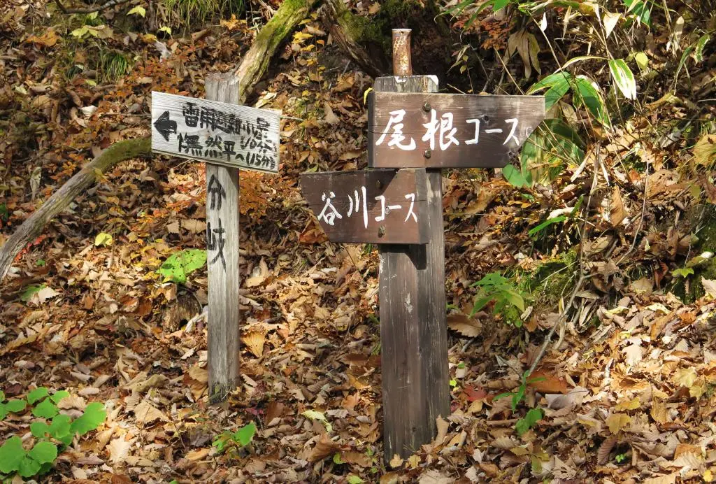
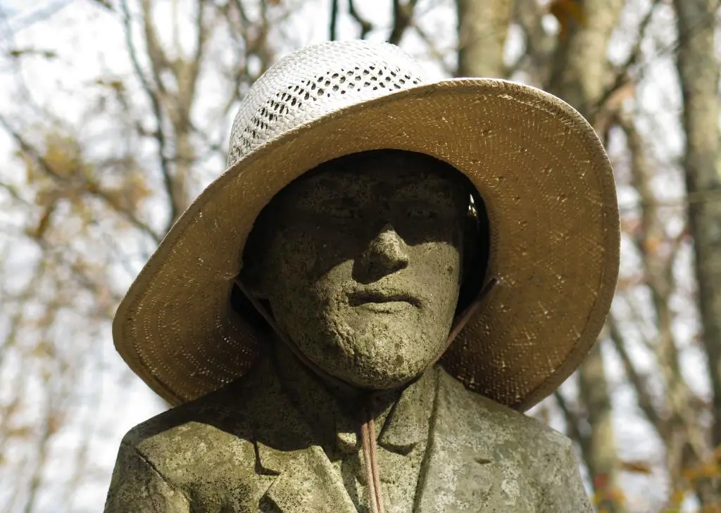
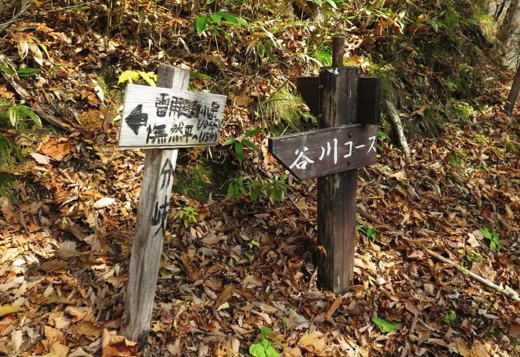
I took a photo of the map at the base of the hike, and was using that to figure out where I was and where I was going. All the distances are wrong. On the map, the start of the hike to the first branch point looks about the same distance from the branch point to the teacher statue, marked as 石像 on the map. In reality, it took about 45 minutes to climb the mountain to reach the branch point, and only 15 minutes more to reach the statue.
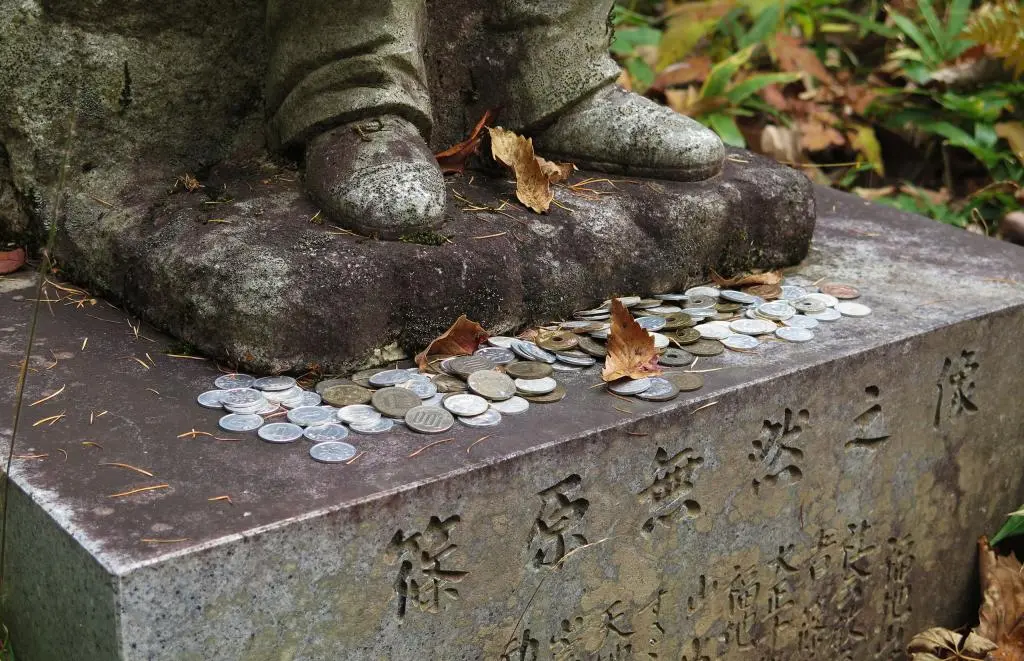
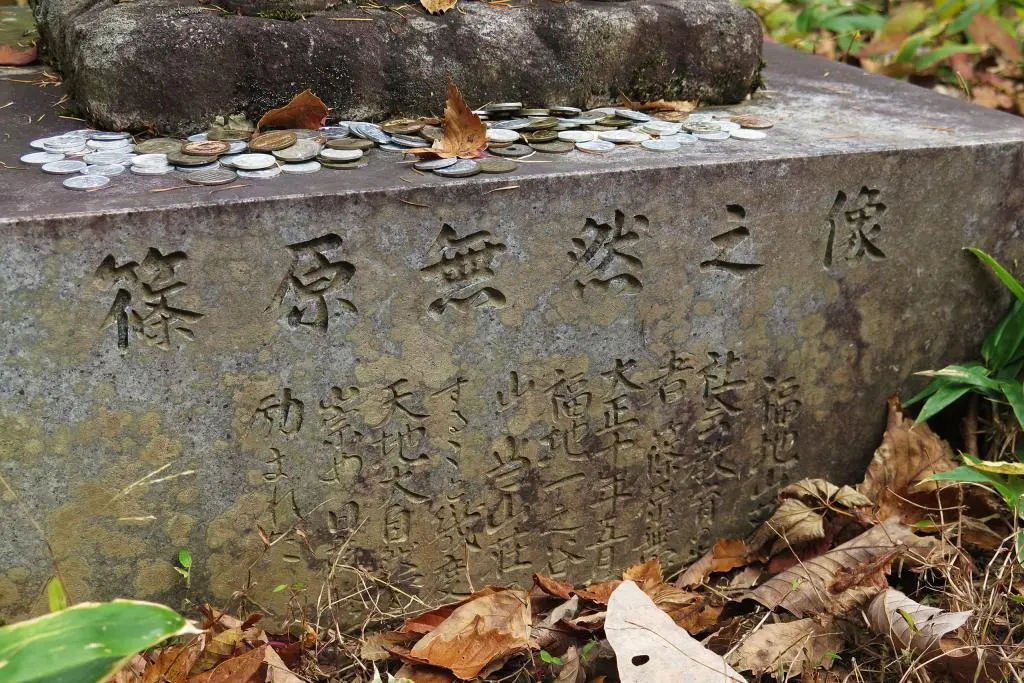
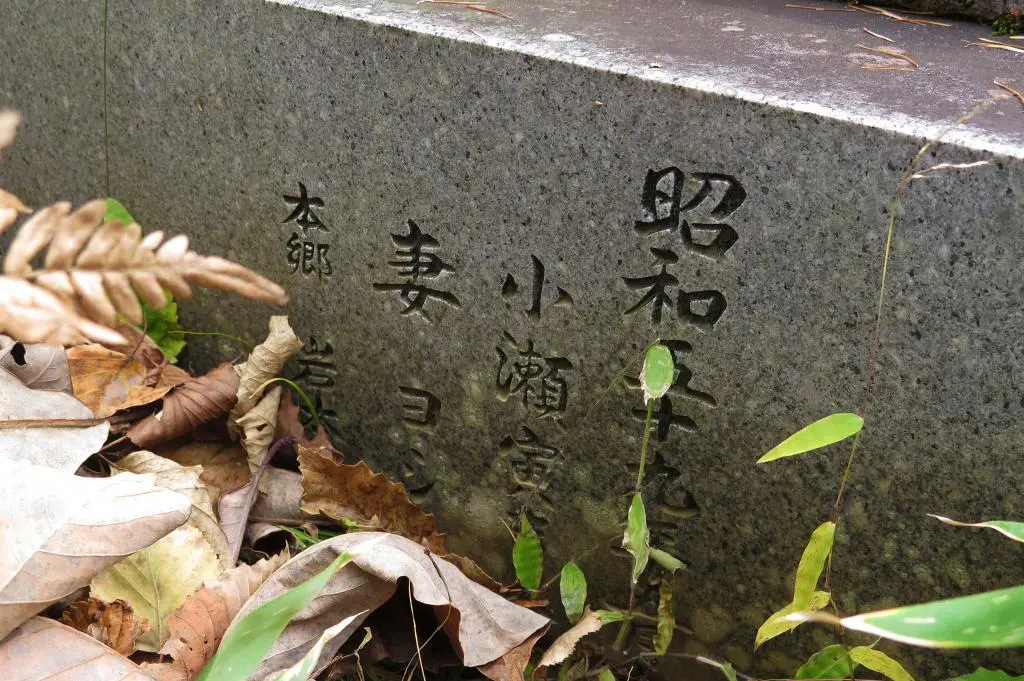
The text reads 篠原無然之像, or Statue of Shinohara Mugen, and it was erected in May 1921 or Taishi 10 大正10年, as written on the statue. Shinohara Mugen was a man was loved nature and often hiked the mountains of Hida-yuu. With his hikes, he educated people about the trees, flowers, and plants that grew on the mountain. Because of this, after he passed, his students made this statue of him.
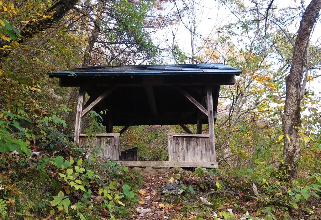
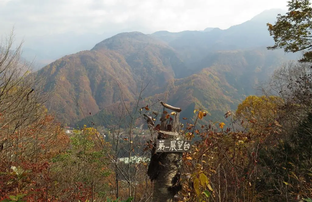
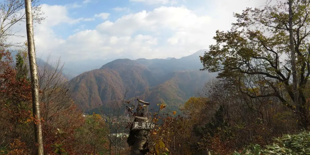
I was already an hour into the hike, and according to the map I was only a third done with the hike. I continued on. 30 minutes later, I reached viewpoint #2 第二展望台 as written on the map. Another time/distance that did not make sense to the scale of the map. The Montana couple I was with decided to give up, thinking that there was no way they'd be able to make it to the summit and back done in time for their bus.
15 minutes later, I reached viewpoint #4 第二展望台. Again, on the map, it was same distance as the previous 30 minutes and same distance as the original 45 minutes. Thank god for these actual markers or else I would have no idea where I actually was.
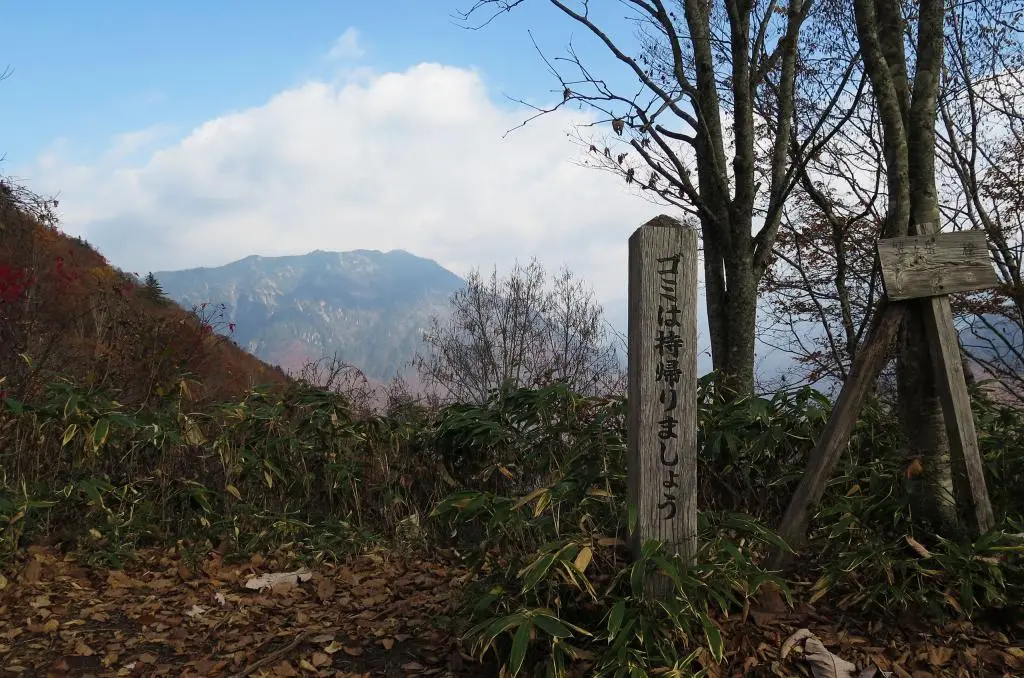
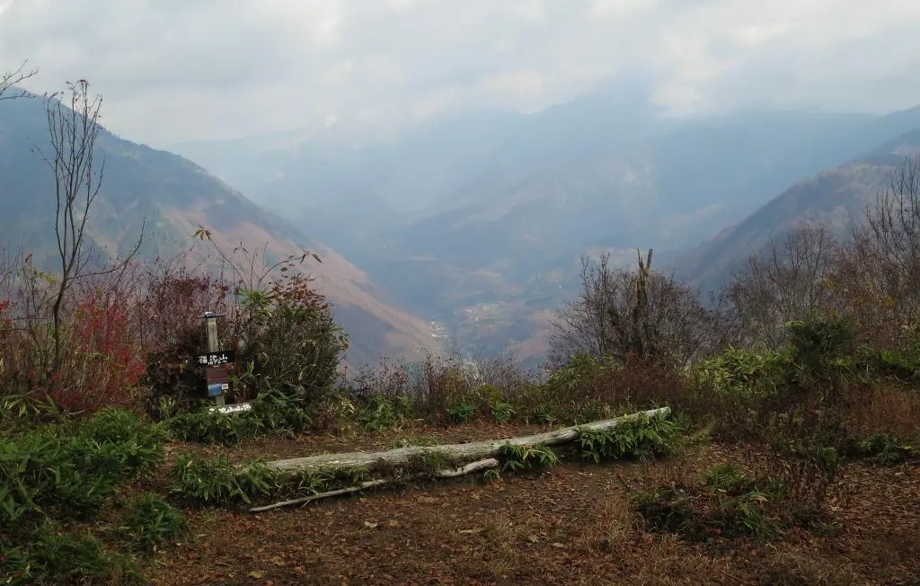
Another short 10 minutes, and I made it to the summit in a total of around 2 hours.
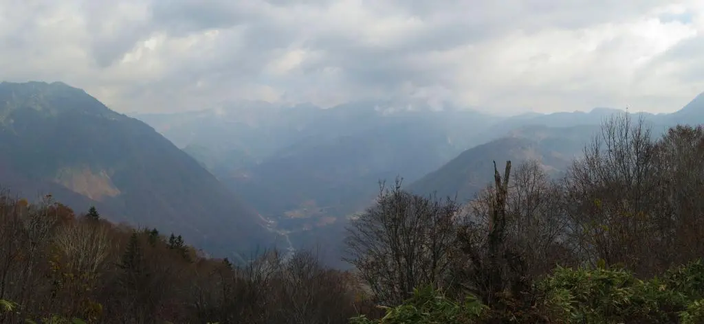
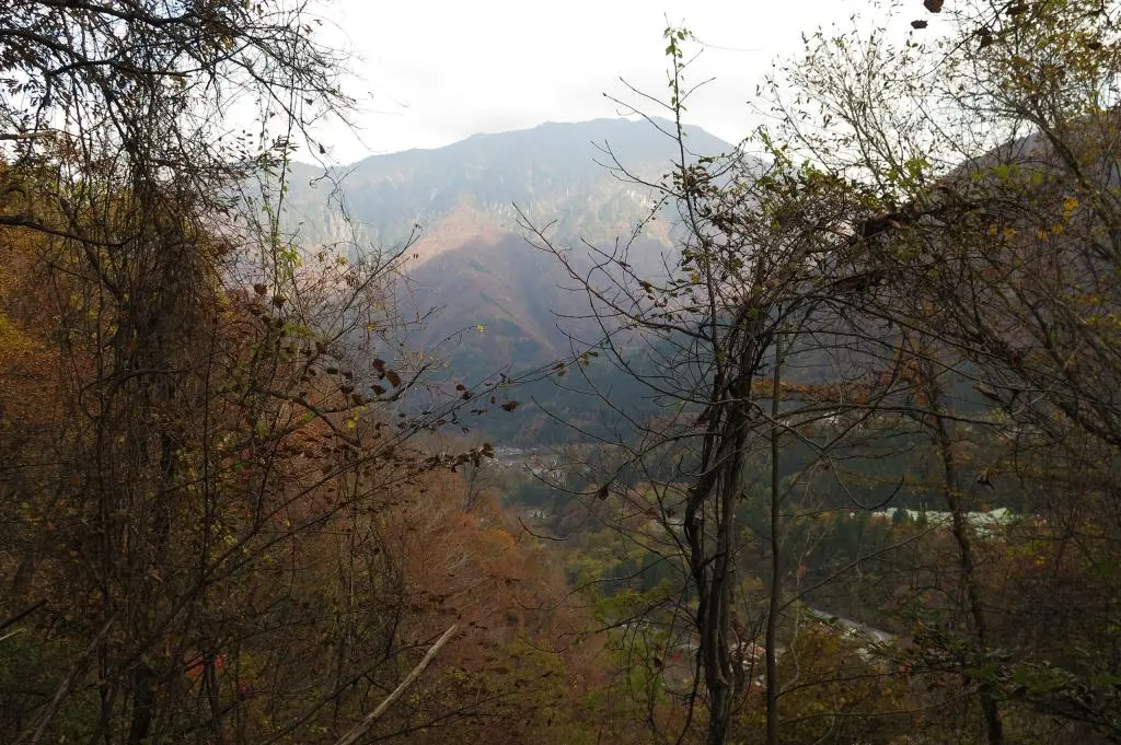
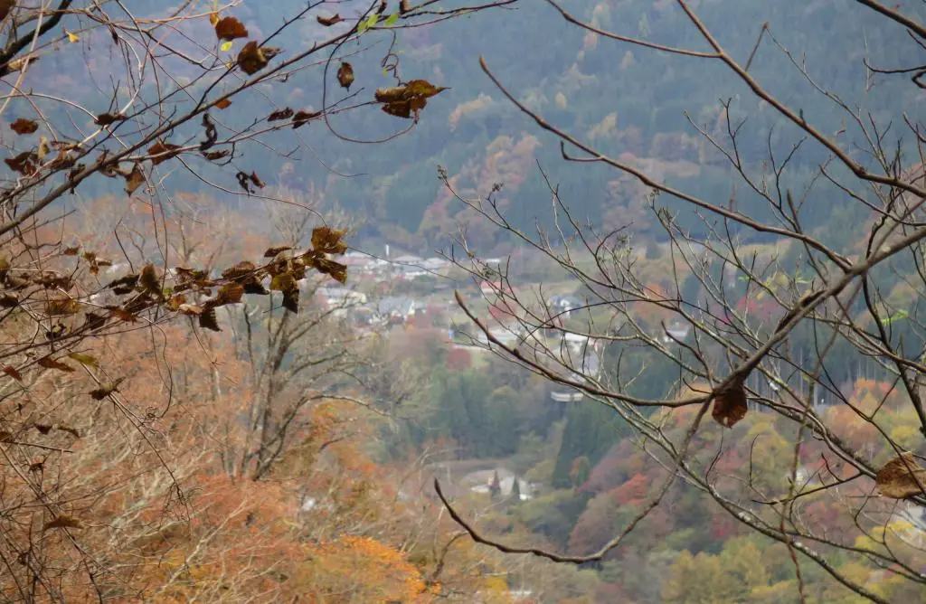
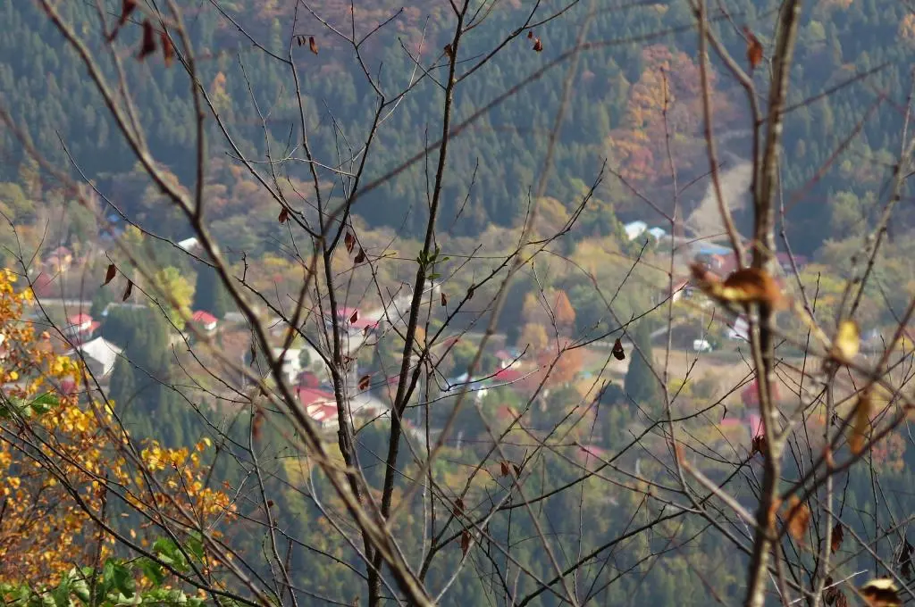
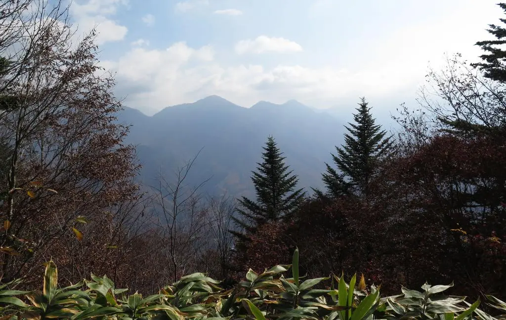
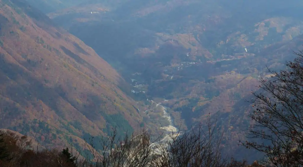
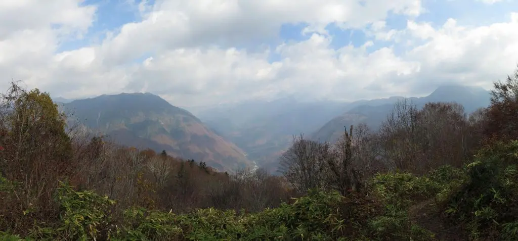
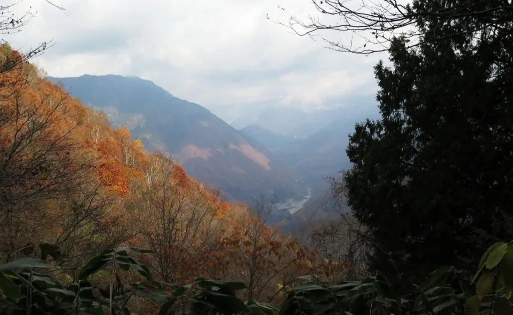
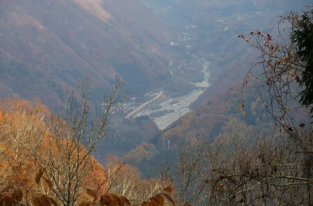
Perhaps the funniest thing of the whole hike was that the view wasn't really all that great. It gave a great view of Tochio village leading into the Shinhotaka ropeway, but all the mountains were obscured by the clouds. Usually when there's a deep fog in Takayama in the morning, the sky above the fog is totally clear and by Noon everything goes away.
Not today, though. Sometimes the mountains make their own weather, and Fukuji-yama was a mountain much deeper into the country compared with Takayama's immedate surrounding mountains.
I took some photos and then started back down the mountains. Now knowing where to go and what paths to take and also not stopping so often for photos, I made it back down the mountain in only an hour compared to the two hours it took to climb.
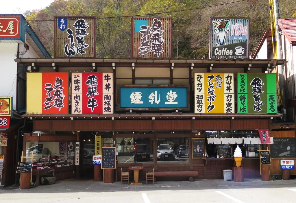
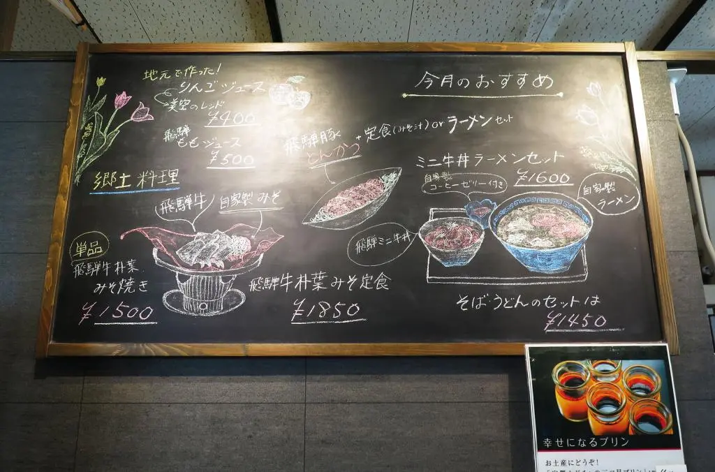
I don't often find myself in the eastern areas of Takayama. But, when I'm there and I have time and I'm hungry, I visit my favorite Ramen restaurant in Takayama.
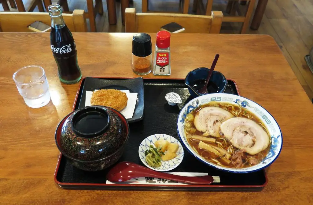
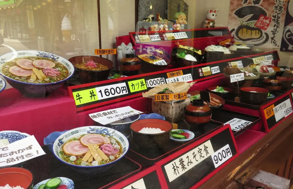
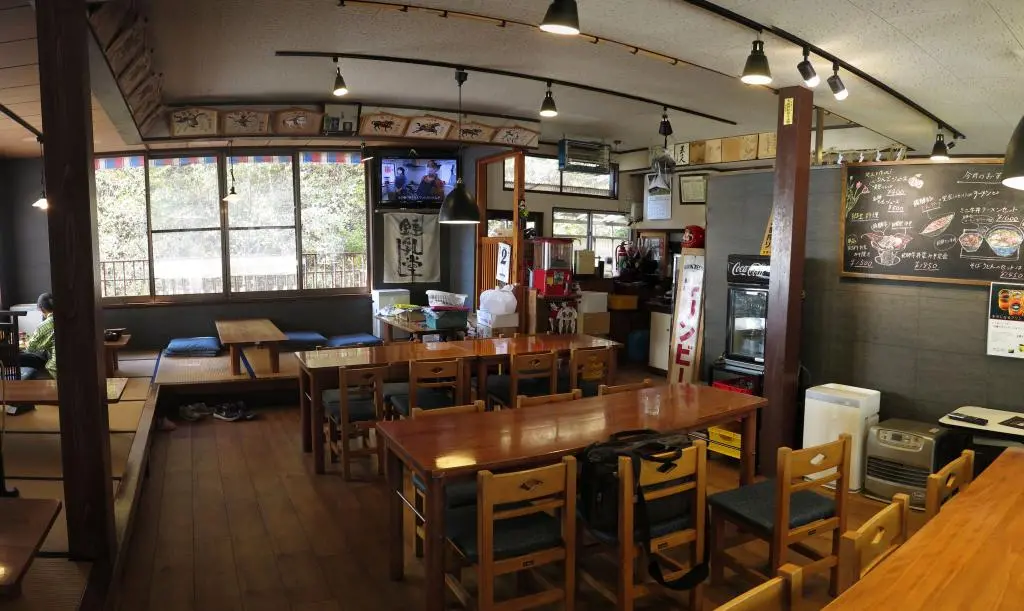
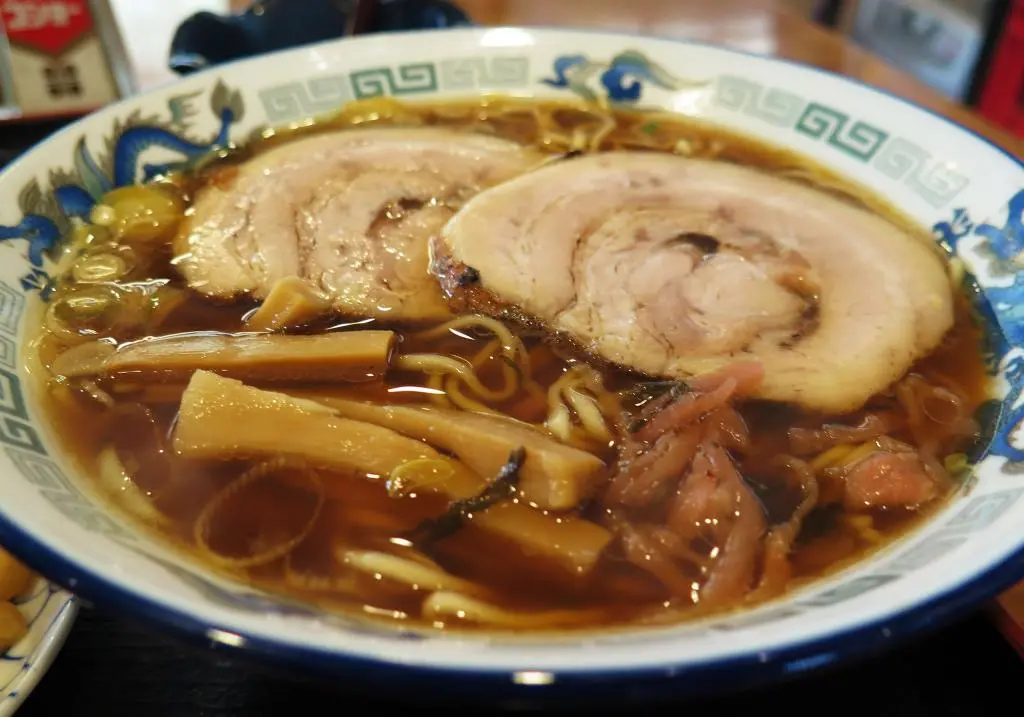
It's called Shonyudou 鍾乳堂, and it's the main restaurant in front of the Limestone cave in Nyukawa. They make the absolute best Okuhida Ramen. Takayama Ramen ends up getting a lot of praise, but the noodles are too stringy and the broth is too thin. Okuhida Ramen is thicker in both categories and has slices of ham, too. It's so good.
I'm not sure how many tourists they're able to get. But, it always seems like there's a local family or two in the restaurant. I'm glad they're still able to keep business after all these years.
Overall, I think I enjoyed the hike. I would love to revisit it on a warm summer day with a blue sky. Here's my timeline of the hike.
| 8:25am | by car 車 | Parked | 36°13'24.3"N 137°31'50.0"E |
| 8:40am | walking 歩く | Start Hike | |
| 9:25am | walking 歩く | Branch Point 分枝点 | 36°13'20.6"N 137°31'24.6"E |
| 9:41am | walking 歩く | Teacher Statue 石像 | 36°13'24.1"N 137°31'15.1"E |
| 10:10am | walking 歩く | Viewpoint #2 第二展望台 | 36°13'29.6"N 137°30'59.9"E |
| 10:24am | walking 歩く | Viewpoint #4 第四展望台 | 36°13'36.8"N 137°30'52.4"E |
| 10:35am | walking 歩く | Summit 峰山頂 | 36°13'46.5"N 137°30'51.0"E |
| 10:45am | walking 歩く | Leave Summit | |
| 10:50am | walking 歩く | Viewpoint #4 第四展望台 | 36°13'36.8"N 137°30'52.4"E |
| 11:09am | walking 歩く | Teacher Statue 石像 | 36°13'24.1"N 137°31'15.1"E |
| 11:16am | walking 歩く | Branch Point 分枝点 | 36°13'20.6"N 137°31'24.6"E |
| 11:45am | walking 歩く | Trail Start | 36°13'24.3"N 137°31'50.0"E |
