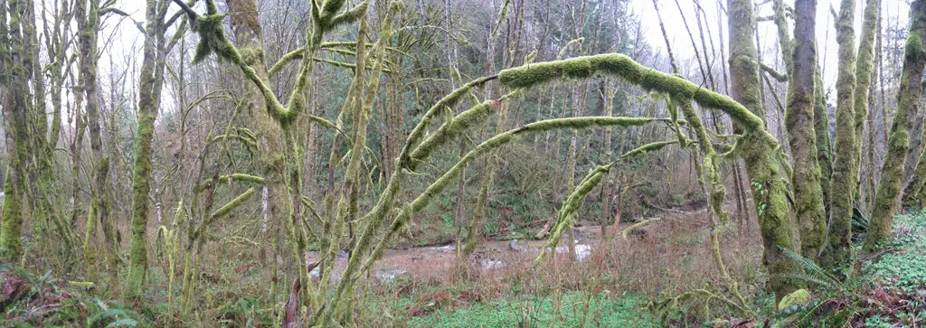
Over the last weekend, I took a quick vacation to visit my little brother, Bill, who recently moved to Eugene, Oregon for graduate school. On Sunday, we headed west towards the Pacific Ocean. Eugene is about an hour from the coast, and the road takes us through some densely wooded areas.
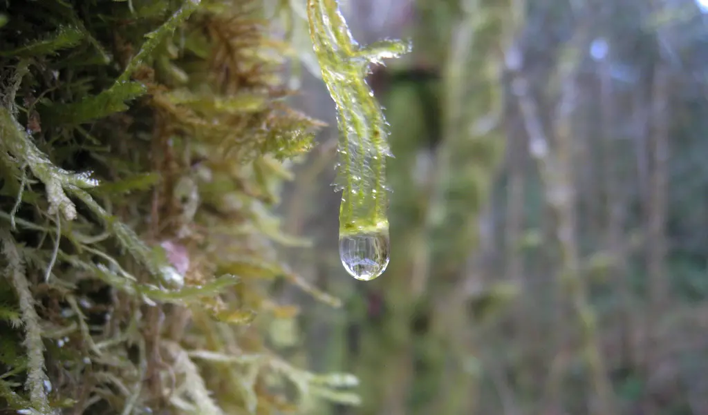
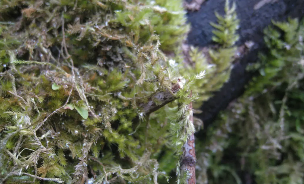
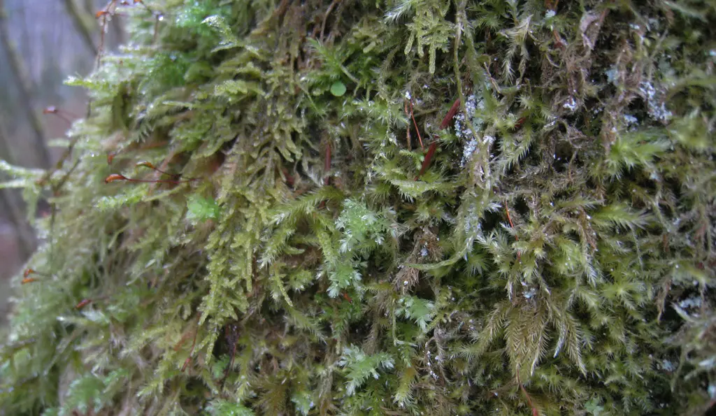
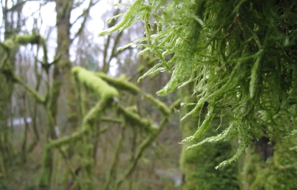
Thanks to the constant damp weather of the Pacific Northwest, most of the trees have plenty of furry green moss growing all over them.
Once we made it to Florence, OR, we started going North towards Cape Perpetua, which had some rocky areas Bill had heard were pretty neat. A couple of miles up the road we came across a touristy place called the Sea Lion Caves. We stopped the car to take a look. After playing a fee of $12 (or something like that), you were guided out back, and down the coast a little bit to an elevator.
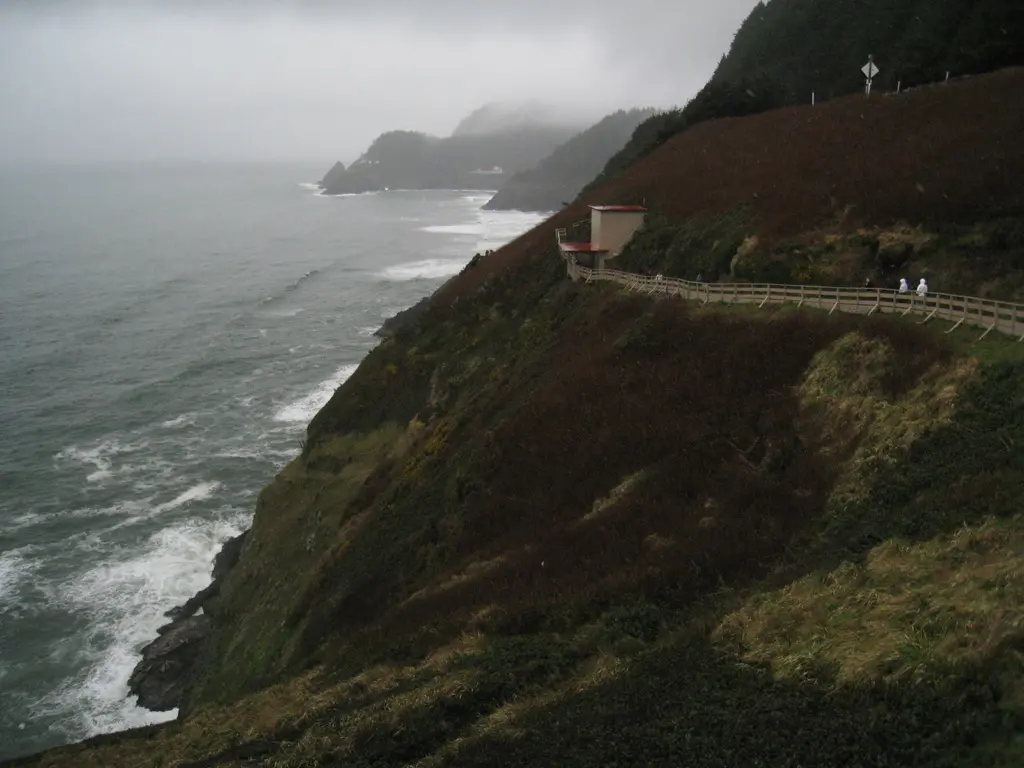
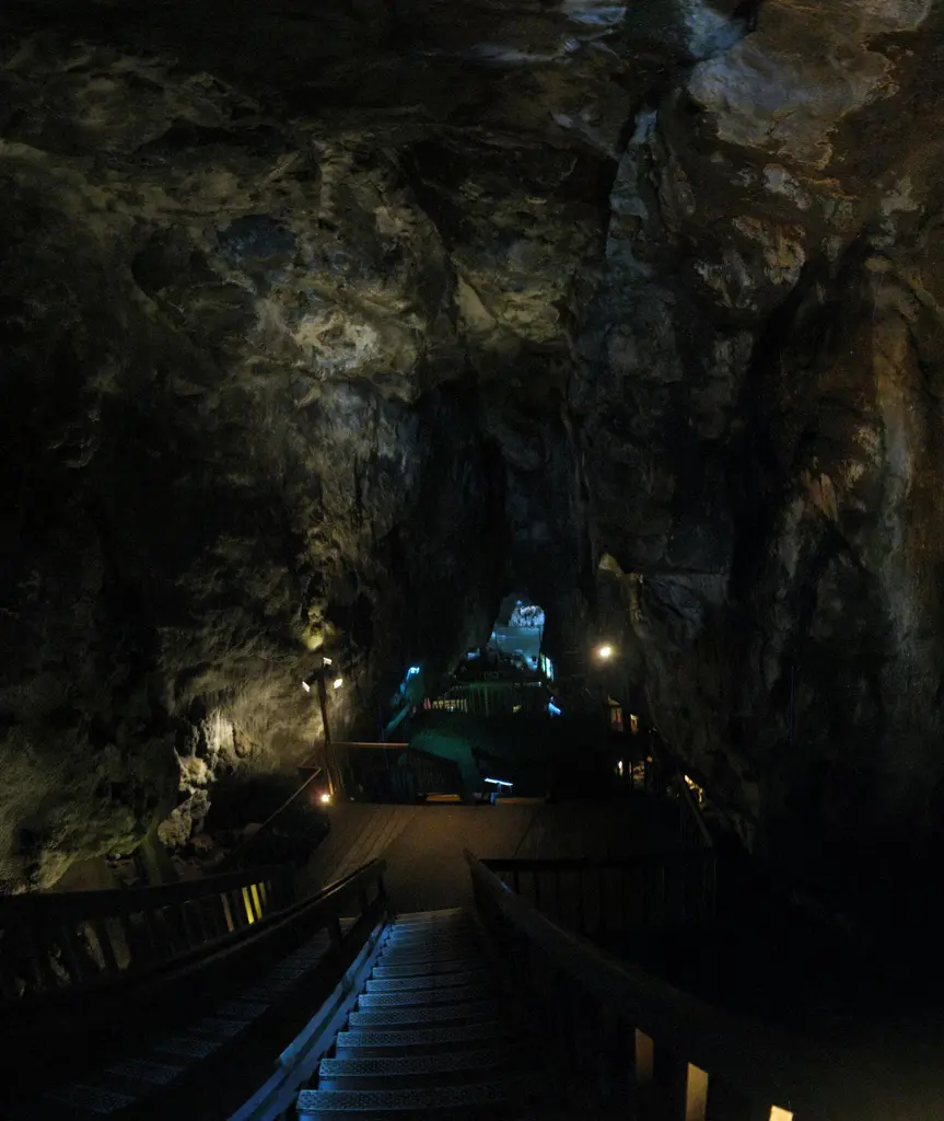
The elevator shaft cuts straight through the rock and goes directly into the caves below. In the caves are some educational facts about Sea Lions, including how to tell the different between a Seel, and a Sea Lion. (Sea Lion's have visible ear flaps, while Seels do not).
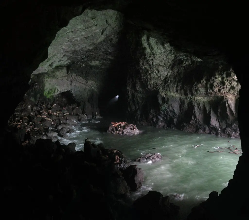
The caves have a huge opening to the ocean, and just inside were a couple hundred Sea Lions hanging out, and making a lot of noise. There was a fence separating us from them, so we weren't able to pet or hug them. :(
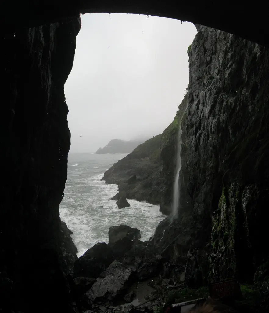
The other end of the cave lead out to the original man-made entrance of the cave before the elevator was installed.
It was pretty neat, I guess. Wikipedia has more information about the history of the caves. You can also take a look at the Sea Lion Caves website for more general information. The have a webcam on the site, too, so you can take a look at what's going on in the caves from home. :)
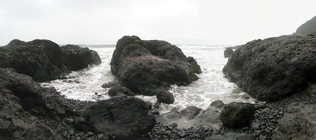
After spending almost an hour there, we continued along Route 101 North to Cape Perpetua. The areas we were looking for were Devil's Churn, Cooks Chasm, Thor's Well, and a couple other natural formation of the ocean smashing into the rocky coast. We stopped at the Visitor's Center to get a map, and a general idea of where these places might be.
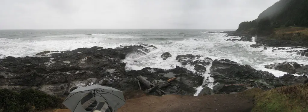
We tried to find Thor's Well first, but it was a little difficult since it wasn't marked on any maps. We stopped the car where we thought it was supposed to be and started walking along the coast.
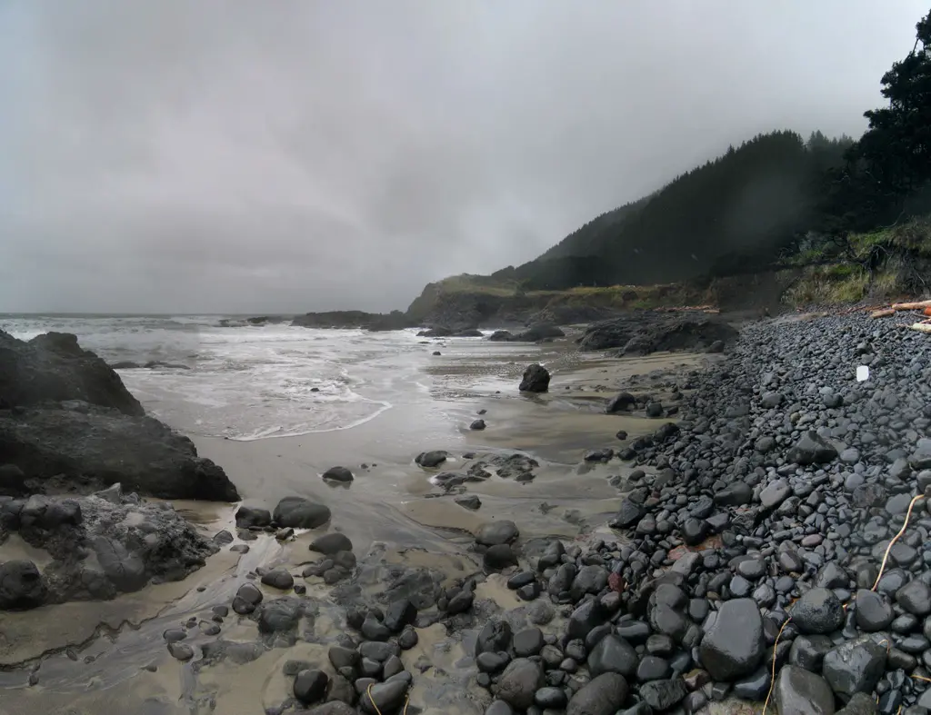
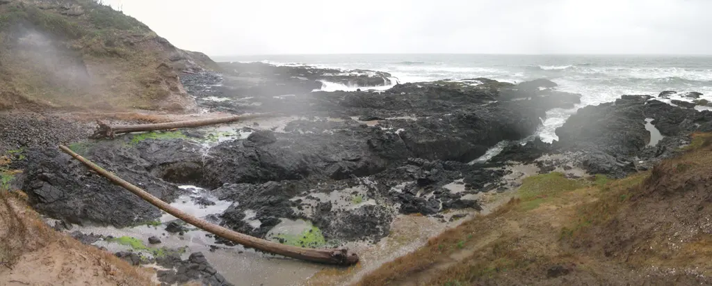
Unfortunately, we were not able to find anything resembling Thor's Well. There were a few areas in that last photo that seemed like they might've been it, but turned up nothing.
We got back in the car, and went over to Devil's Churn, which was clearly marked on the map, and clearly marked on the side of the road.
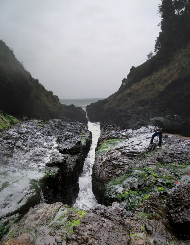
Devil's Churn is a point on the coast were the powerful constant crashing of the waves have cut a fairly long fissure into the rock. It continues into the rock ever further than the surface suggest. Devil's Churn gets its name from the sound the waves make when the slam into the very end of the crack. For the most part, it sounds like a truck driving over a bridge if you were to stand underneath. Sometimes the waves crashed so violenty, that the ground shook.
Next, we went to Cook's Chasm, to take a look at some more ocean. We found the Spouting Horn, which is a hole cut into the rocks of the coast. When the waves smash against the rock, water shoots up through the hole making it looks like a horn.
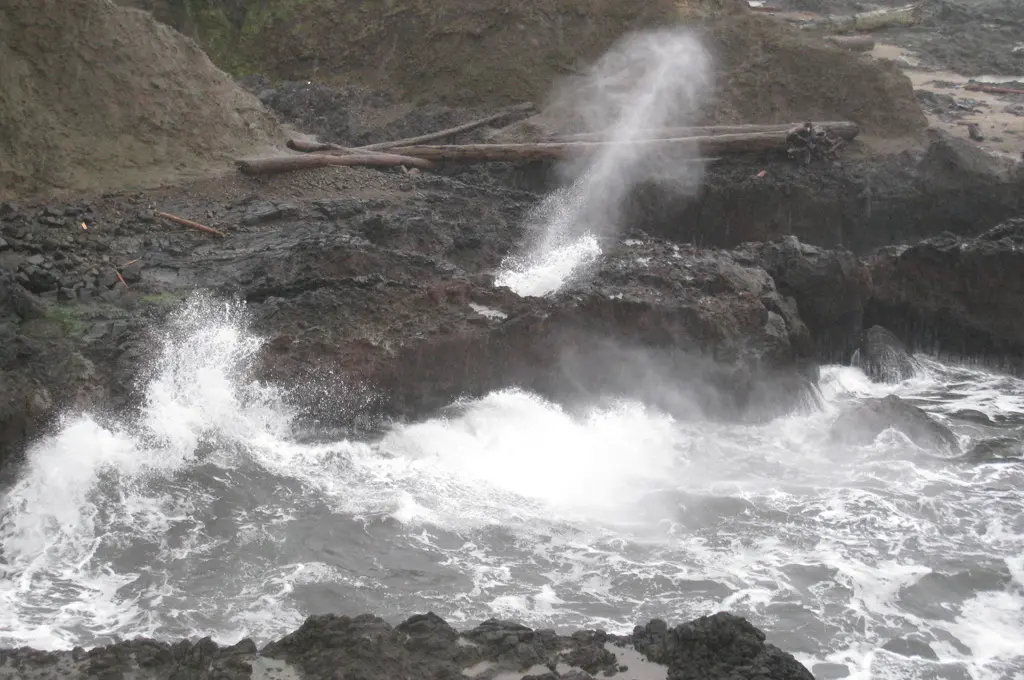
We found a couple ares around Cook's Chasm that had some violent waves, but out towards the end where the rocks actually met the ocean was what we were looking for, Thor's Well
Thor's Well is pretty similar to the Sprouting Horn, except much larger. It's a pretty big hole cut into the rock, and goes down pretty far to connect to the ocean underneath. As the waves came in, water shoots up through the well, and completely floods the surface. As the waves recide, all the water is sucked up back into the well.
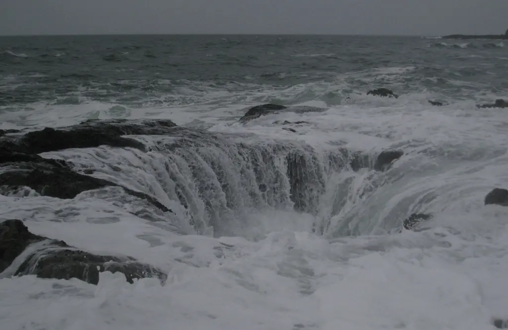
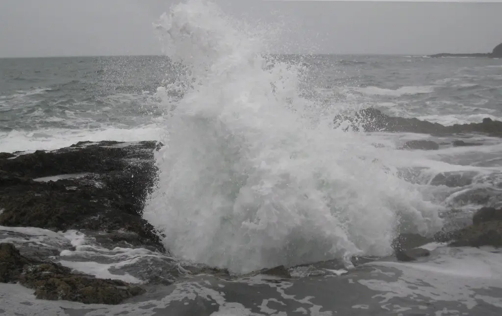
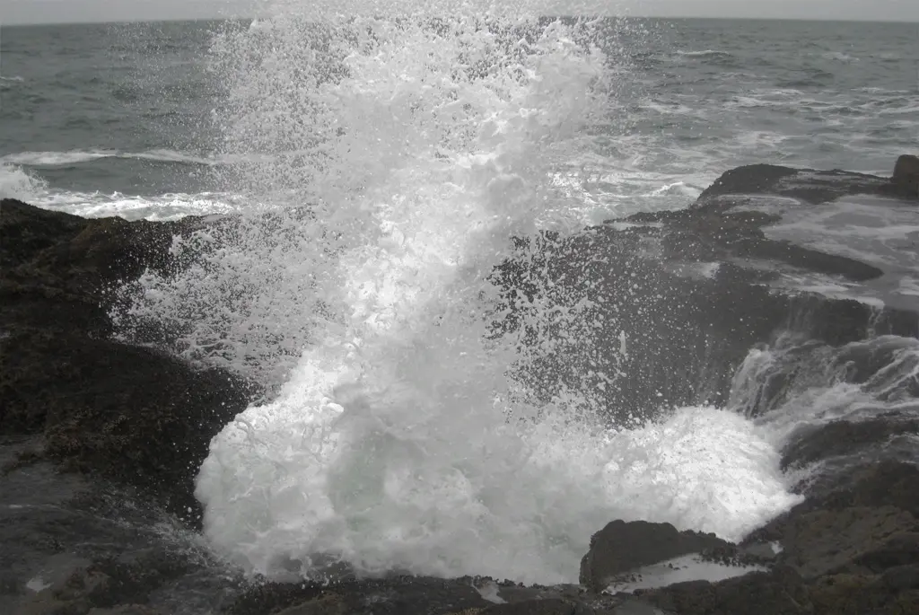
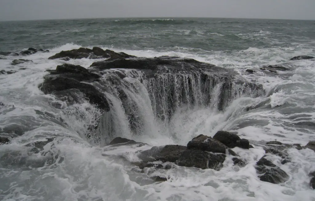
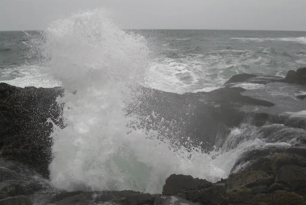
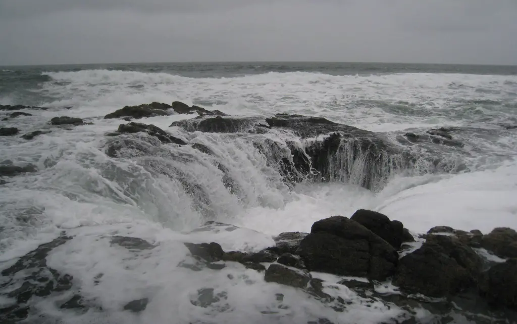
Bill and I watched this thing for quite a while. It was definitely worth the trip. Bill wanted to get a closer look, and actually see how far down the well went. And this is how that went:
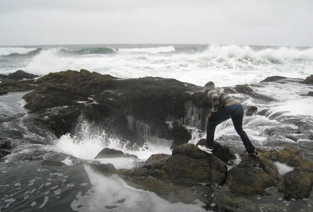
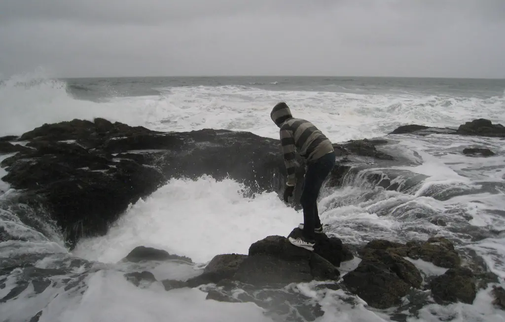
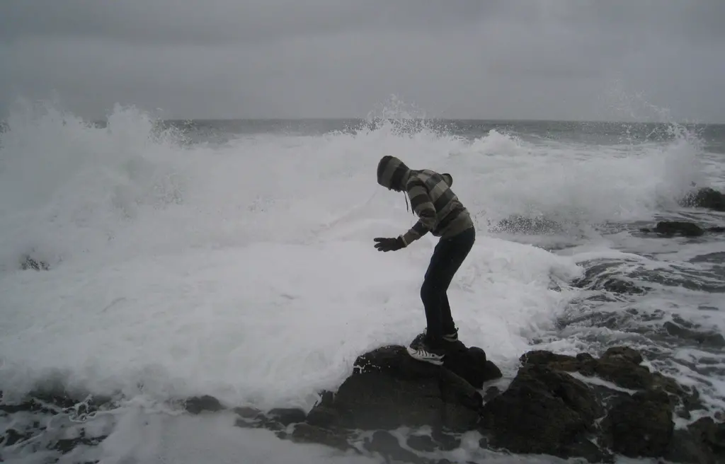
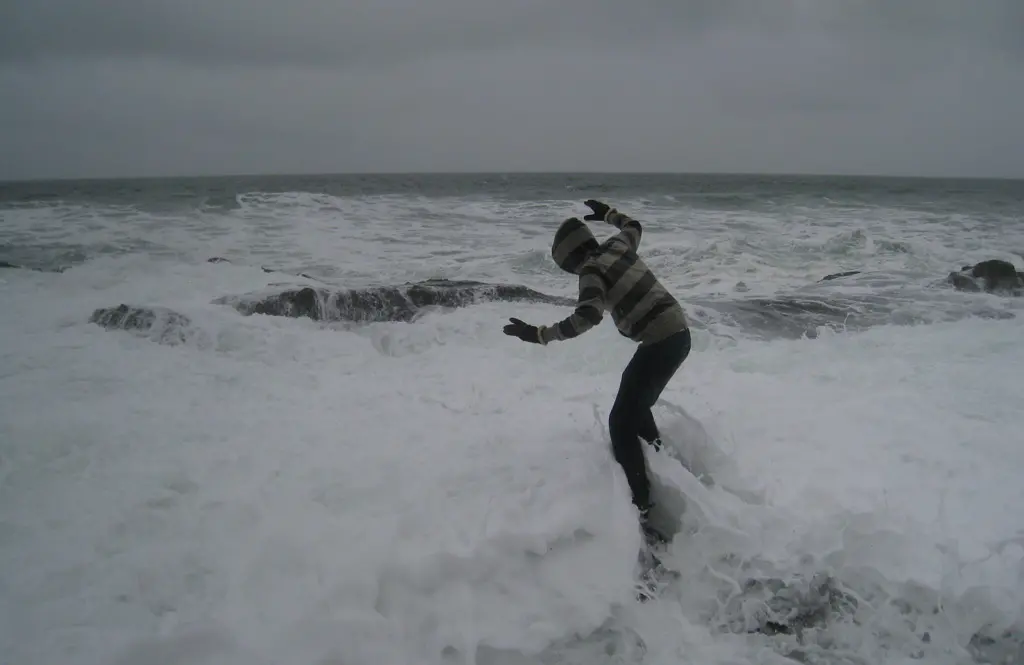
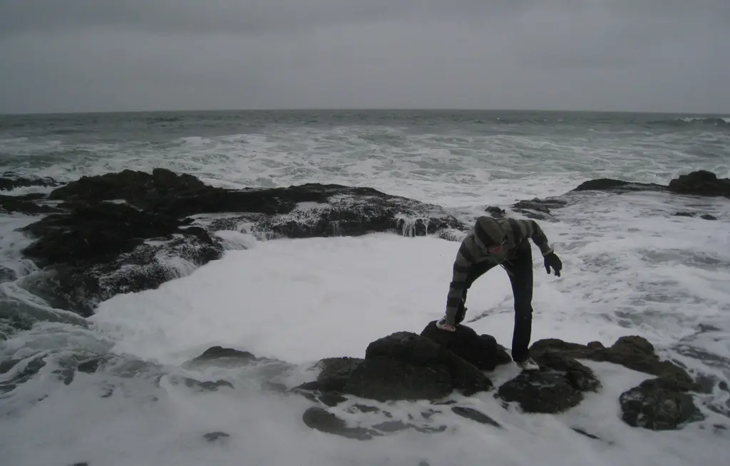
That was one of largest waves we had during our time of the coast. For the 30 minutes we were mesmerized by this hole in the ground, we were able to get 2 of these waves that completely soaked our shoes and pants. I was on higher rocks than Bill was, and I was still just as soaked.
I took some video of Thor's Well, in which I get soaked, again, around the 2 minute mark : http://www.youtube.com/watch?v=FRDiup0UNDo
Overall, it was pretty neat to see this side of the Pacific. I've seen it from the sky while flying back and forth to Japan, and seen it from the Japanese coast line, too, but never directly from the American side.
One things I was definitely looking for were traces of Tsunami debree from the March 12th Tohoku Earthquake. There have been some recently news articles saying that people have been finding things on the coast, and, in fact, further north, a "ghost ship" had found it's way to Canada after being removed from its Japanese port.
Unfortunately, we did not find anything substantial. We found a car tire, and a bunch of plastic bottles, one of which DID look like a Japanese PET Bottle, but they were most likely just garbage from nearby.
