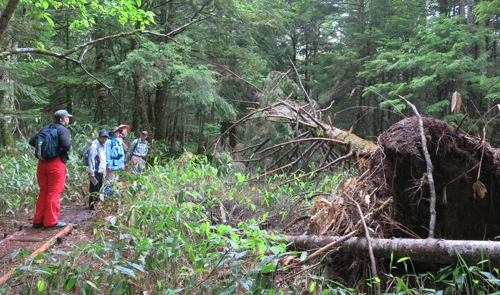
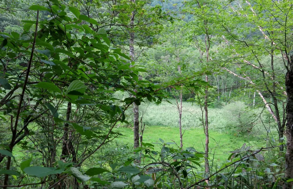
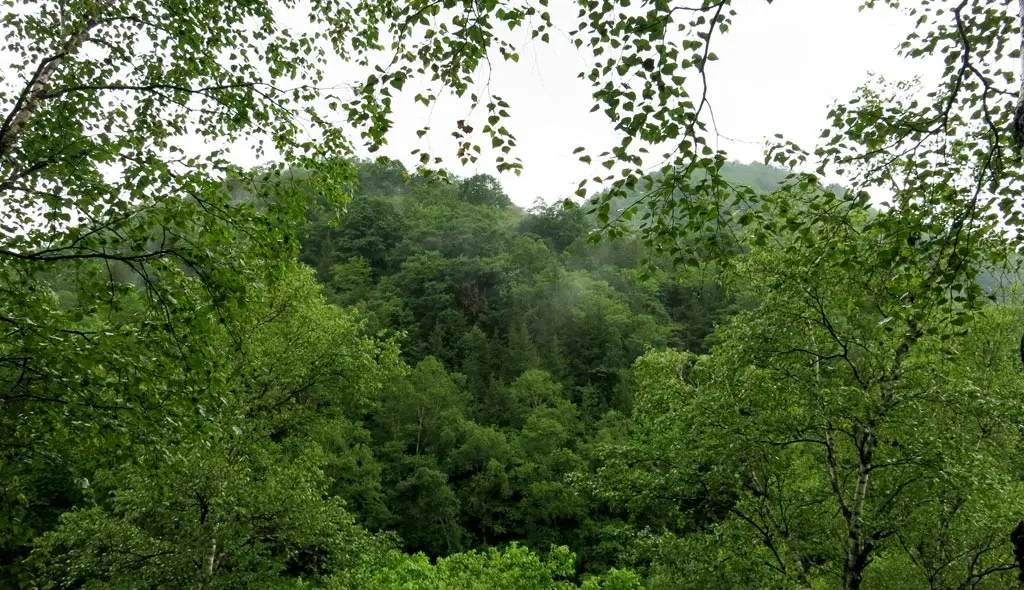
Goshikigahara is a plateau area resting underneath Norikura-dake 乗鞍岳. Mt. Norikura is one of the tallest mountains in Japan at over 3000 meters. It's probably the most "magnificent" mountain viewable from Takayama City.
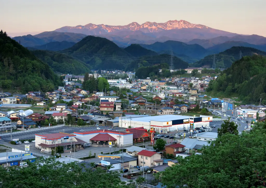
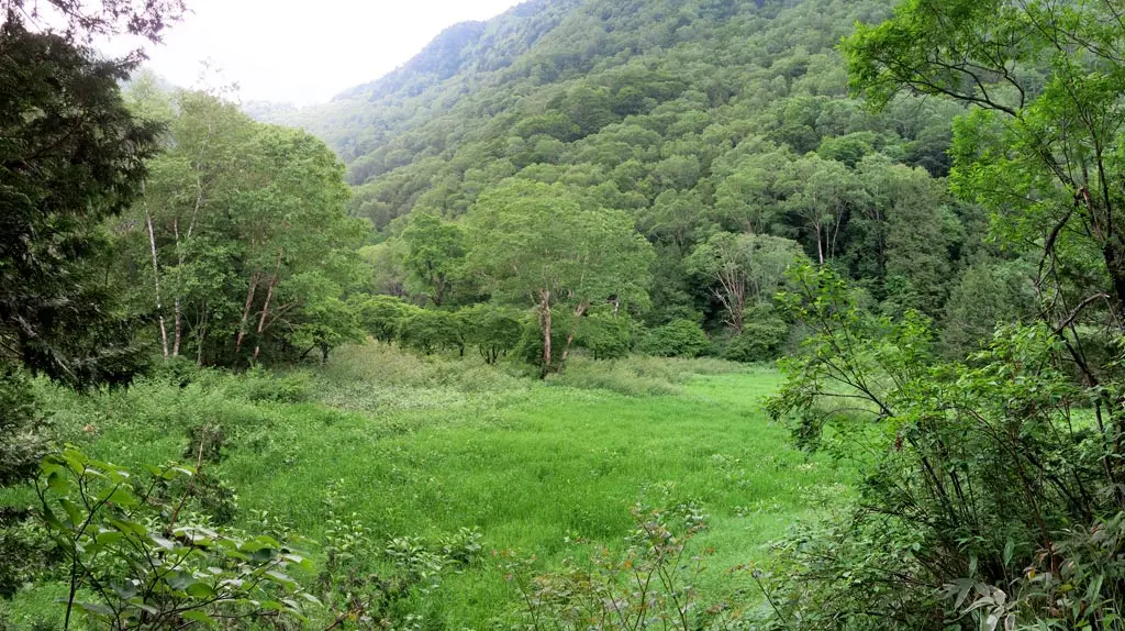
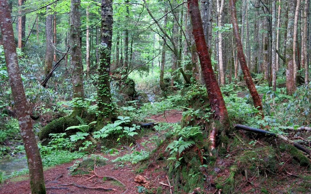
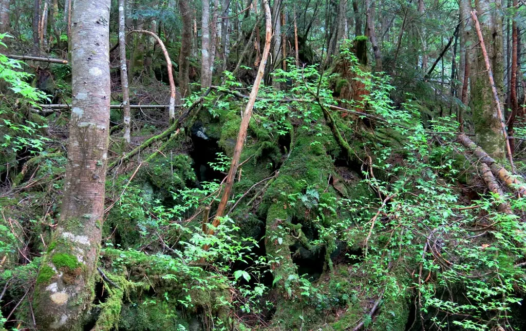
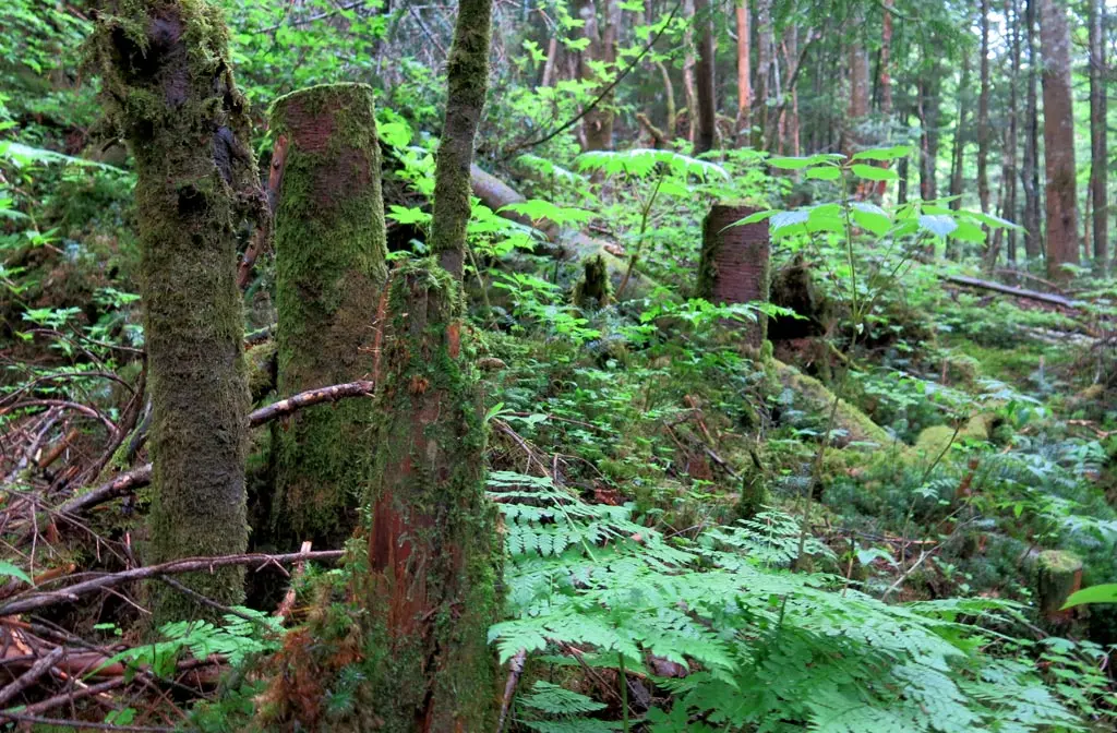
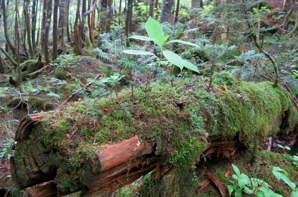
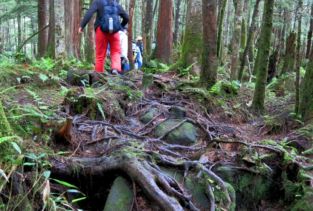
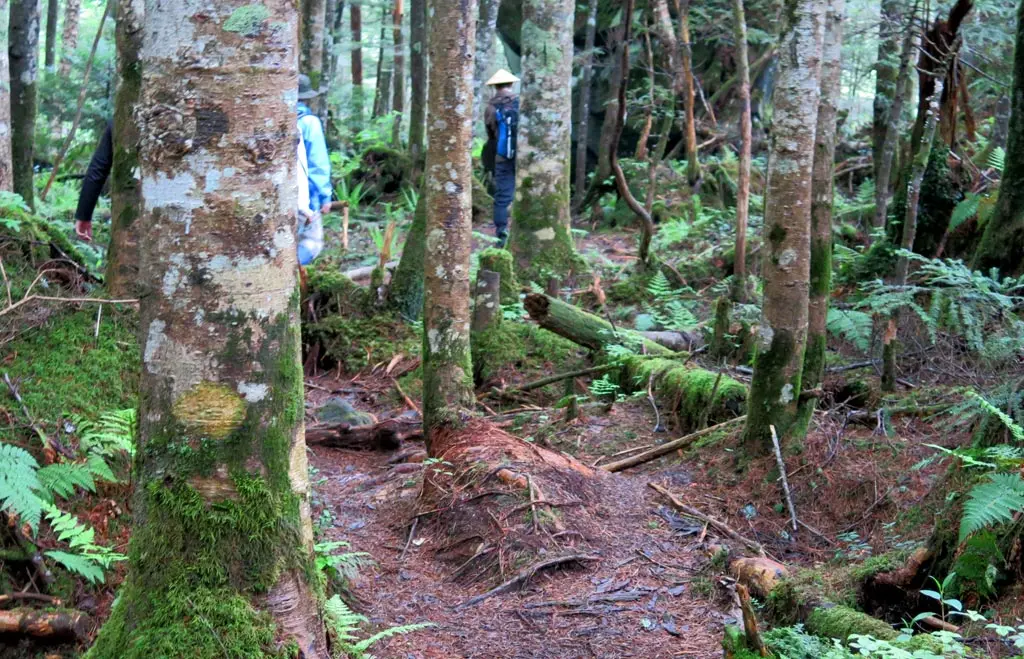
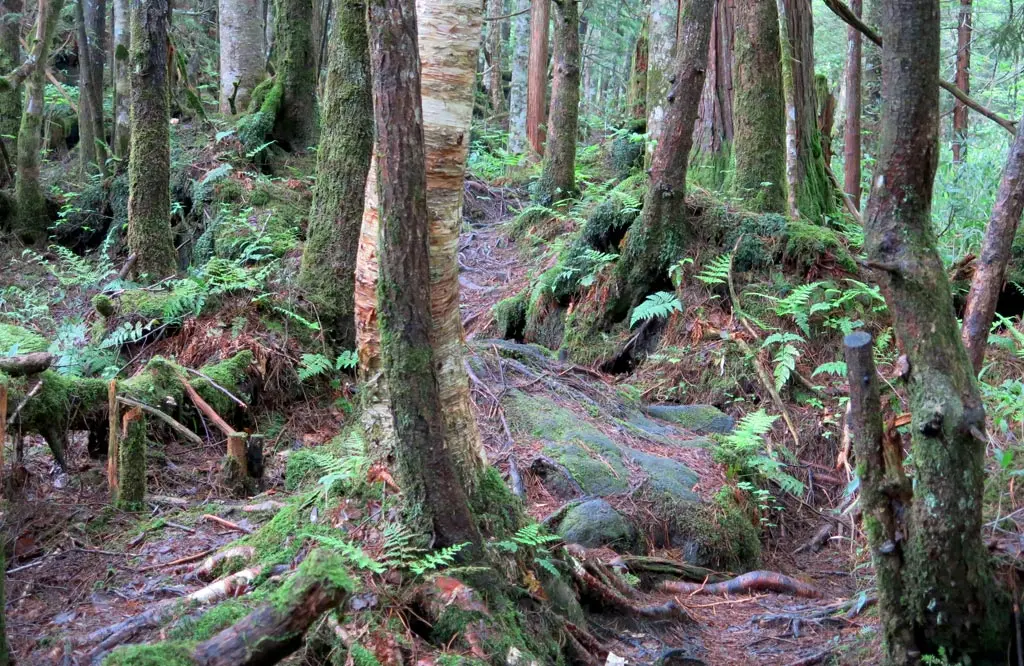
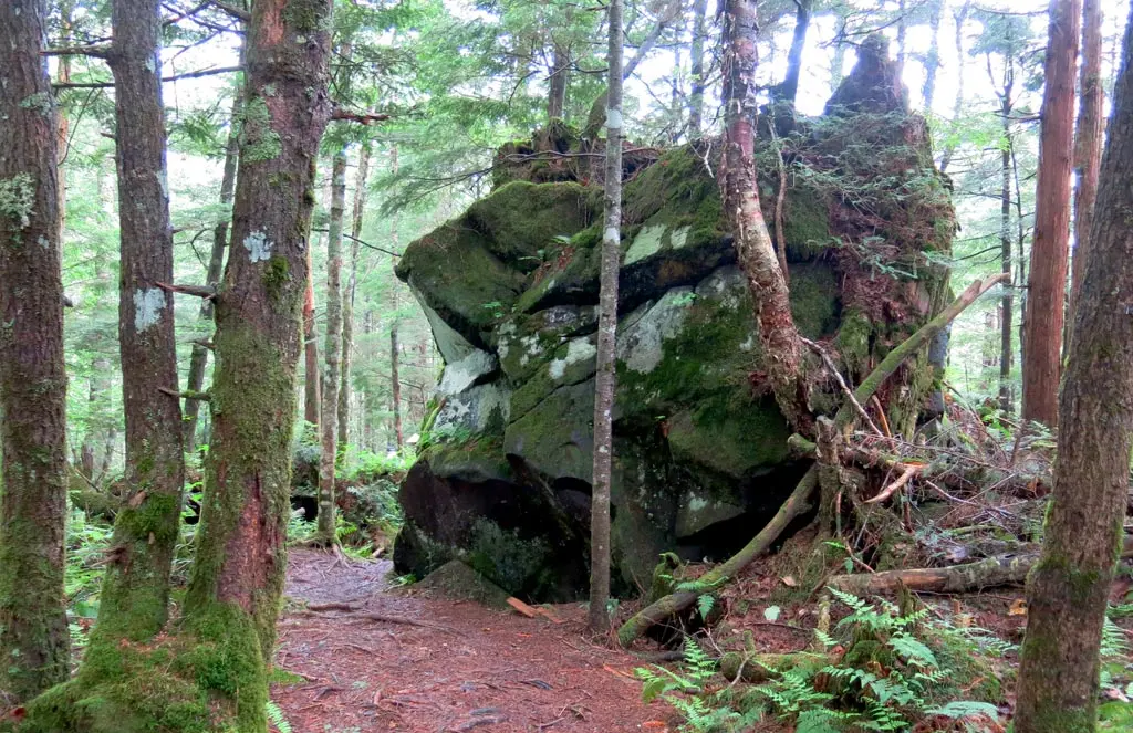
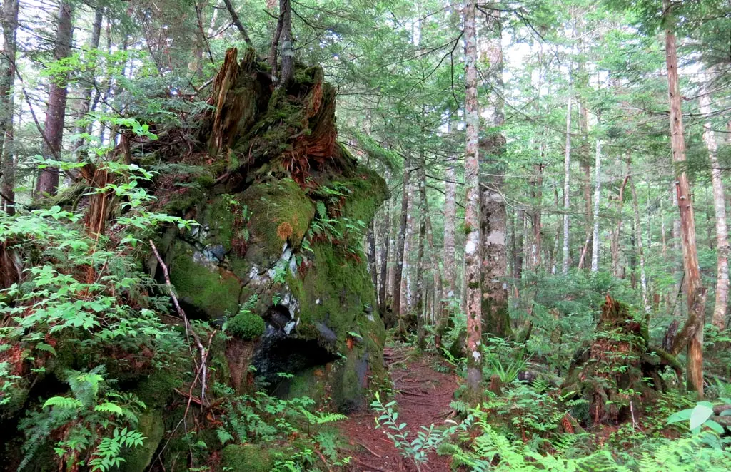
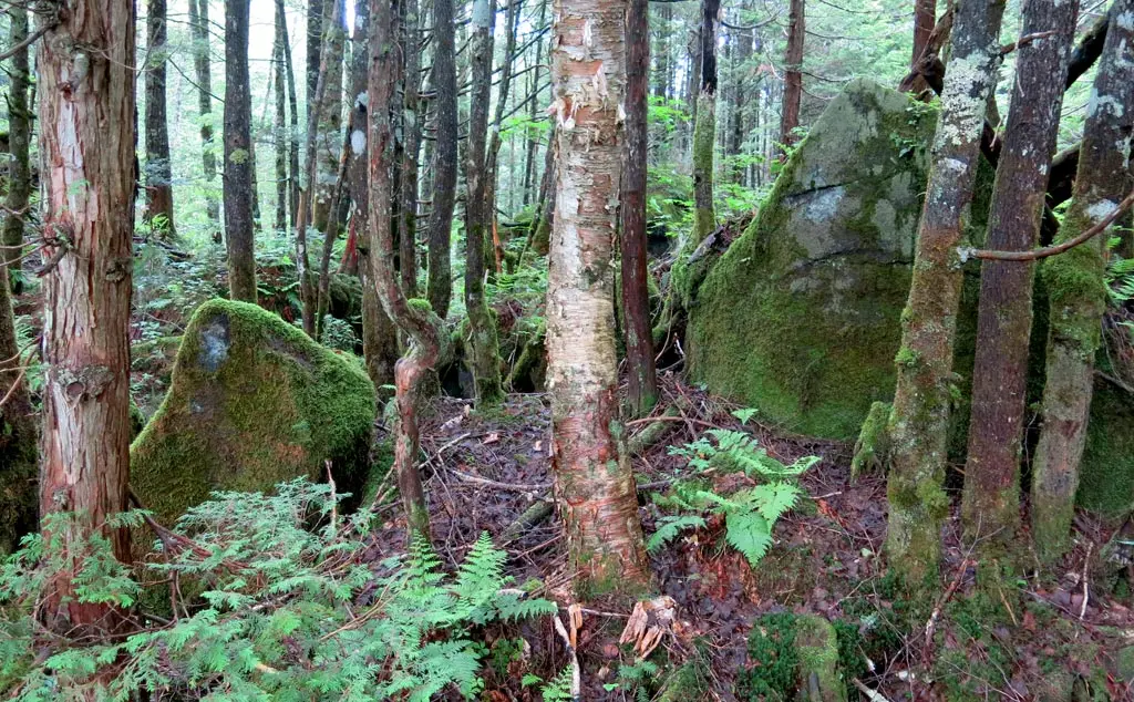
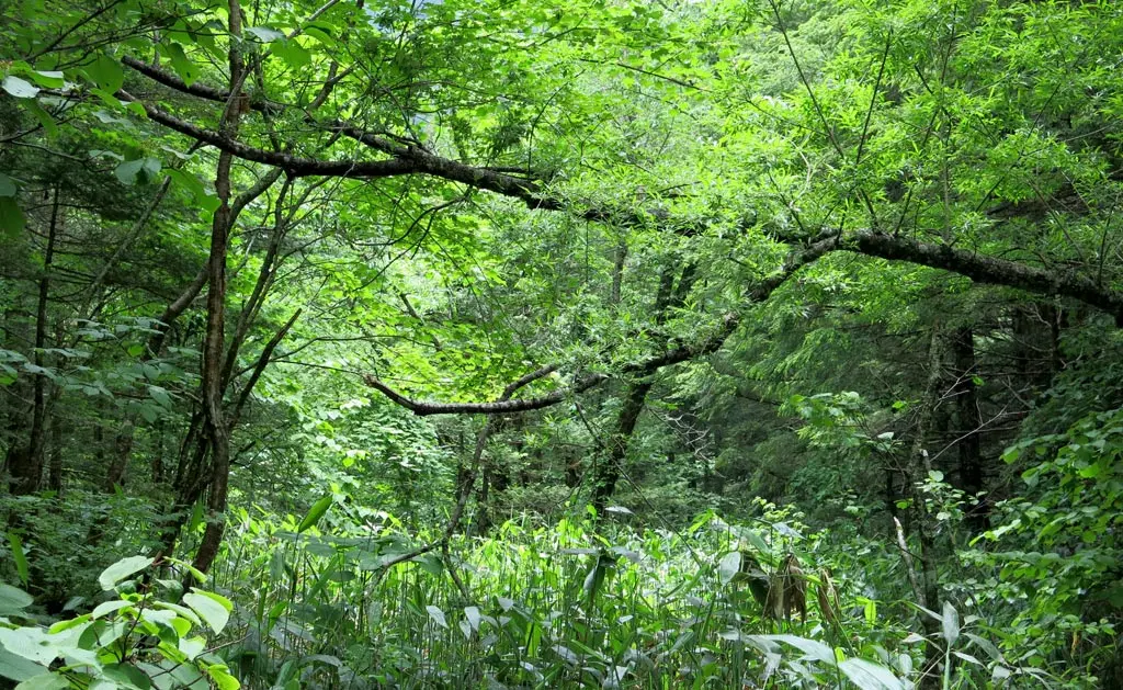
The Goshikigahara plateau lies within those highborn forests on the west end of the mountain. Technically, the area should be visible in the above photo. The forests in this area have never been cut, or disturbed by human hands.
In fact, the locals swear that the forests are inhabited by a specie of fairy. They chat and play in the forest. Female fairies twinkle like a rainbow. Male fairies have a silver twinkle. These fairy are only visible to humans who are pure of heart. Any person that has caused harm to the environment by littering, or picking or breaking plants will never see them. Which pretty much rules out everyone on earth.
If you want to tour Goshikigahara, you must make a reservation, and be accompanied with a guide to show you around. Tours are about 8500円 ($85) at the lowest, and generally take about 7 hours. You need to sign a consent form, too.
On this particular day, I was quite fortunate to be part of a tour put together by the city of Takayama. It was only 6000円, too. :) This tour was in honor of a very special guest that came to Takayama, Dr. Miya____? On Saturday, volunteer city officials joined the doctor at the Hida Wisdom Earth Center, and planted a field of trees. I joined them as part of the city.
On Sunday, we met with the doctor again as we started our 9 hour trek through the mountainous forest.
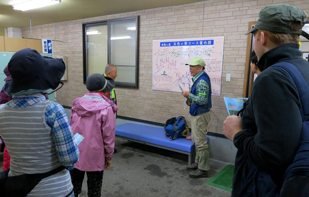
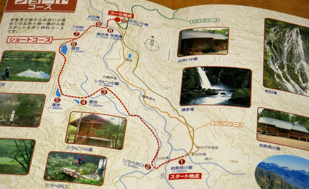
The tour brought us along the Short Course of Goshikigahara. The short course is the back half of the シラビソコース, or the Abies Veitchii Course. But we started a little bit early and took a stroll through the wasabi fields.
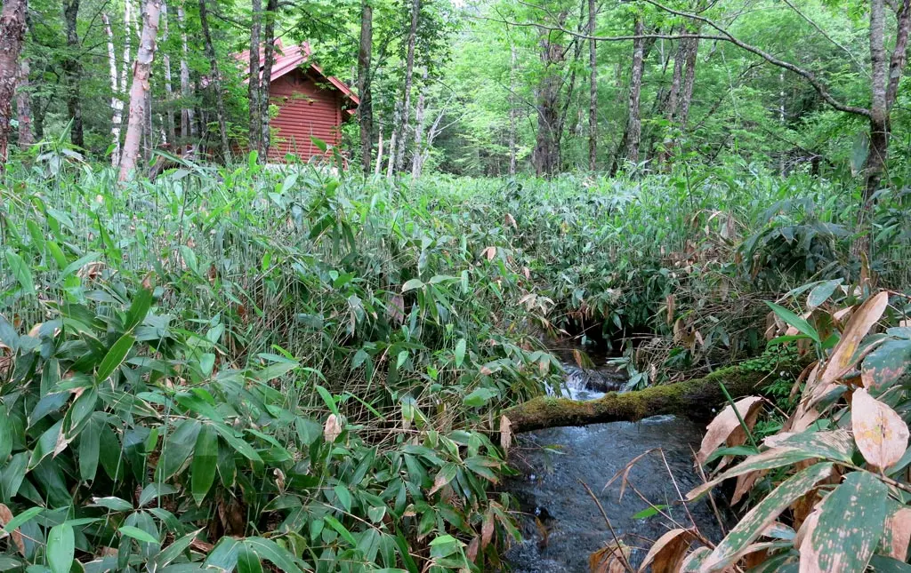
Before reaching the Iwanami Hut, and the start of Short course, the bus dropped us off not too far away, where the trail crossed the road and entered the wasabi daira shitsugen (marshland).
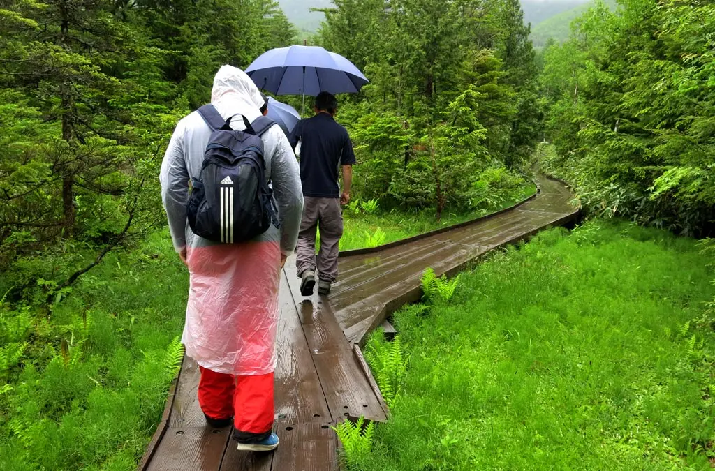
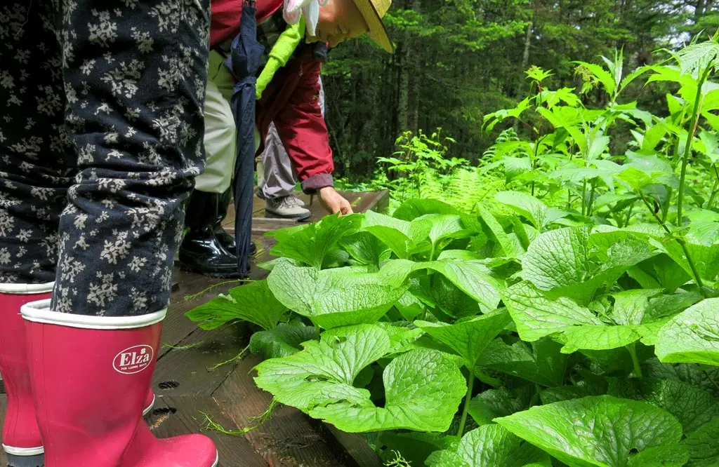
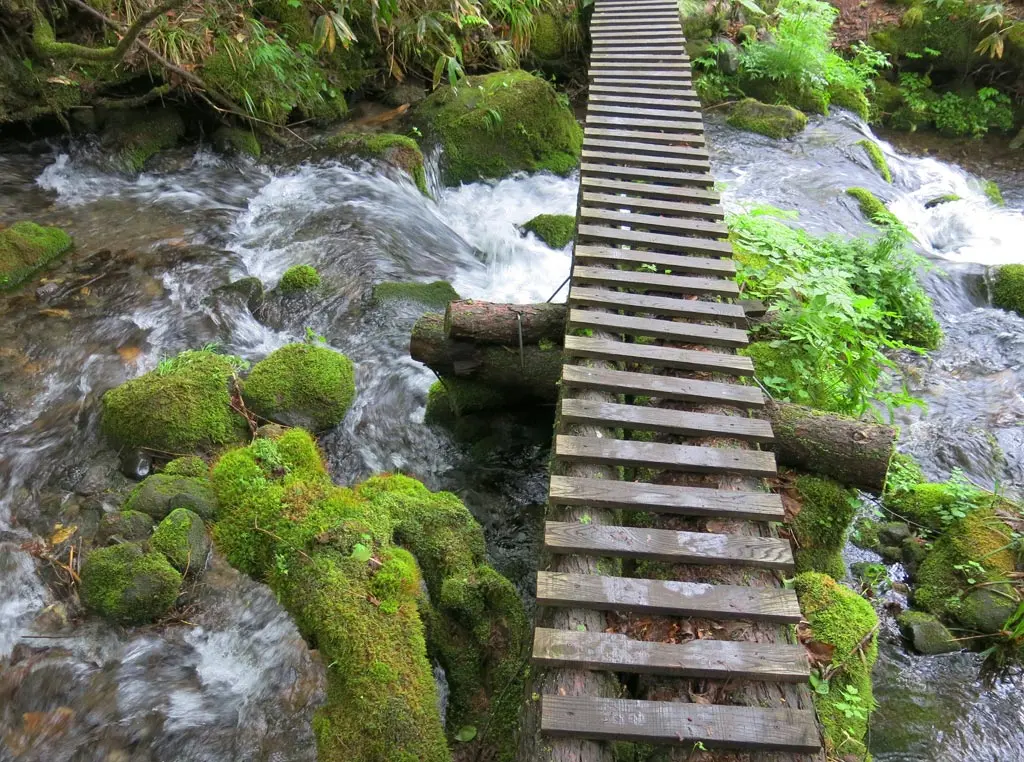
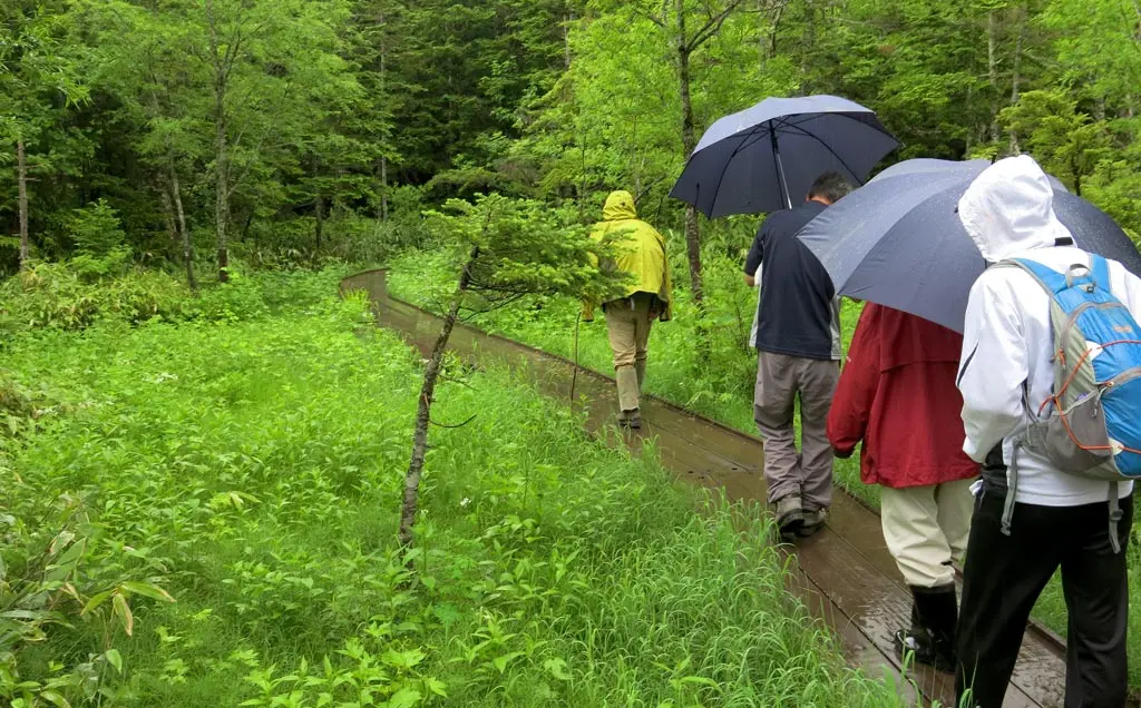
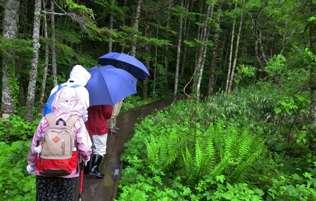
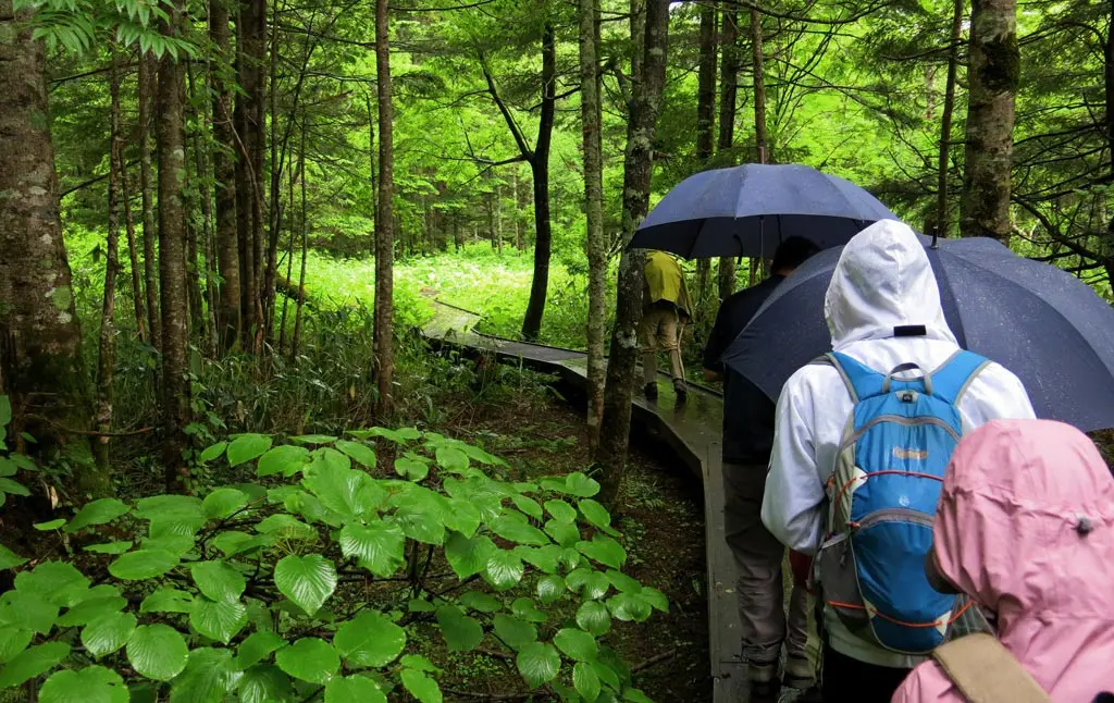
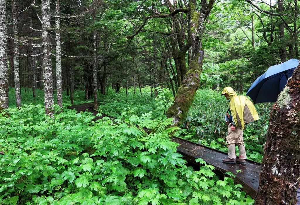
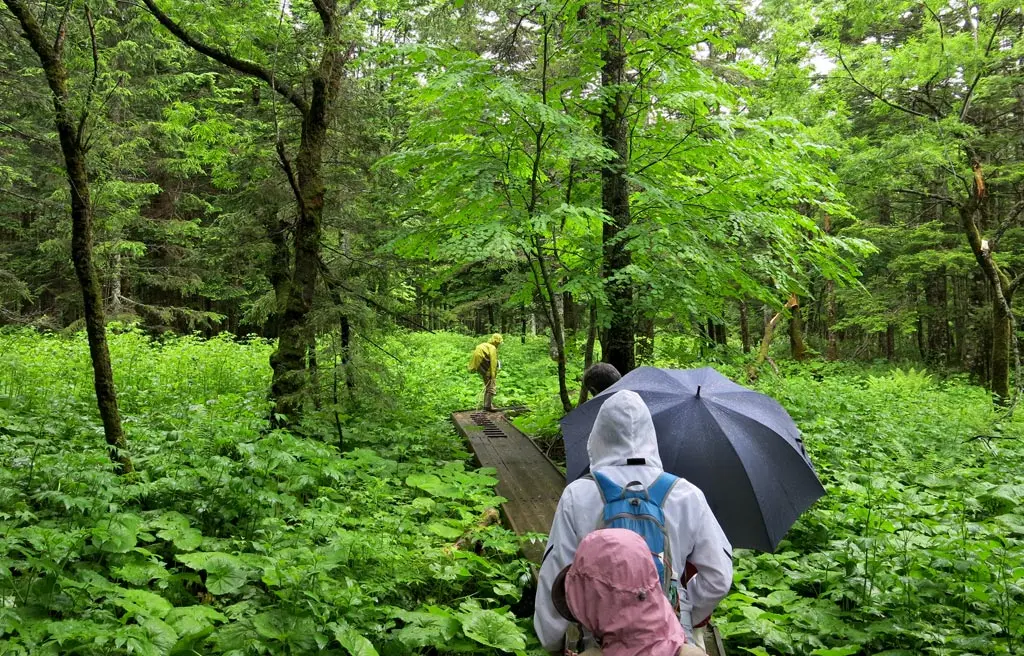
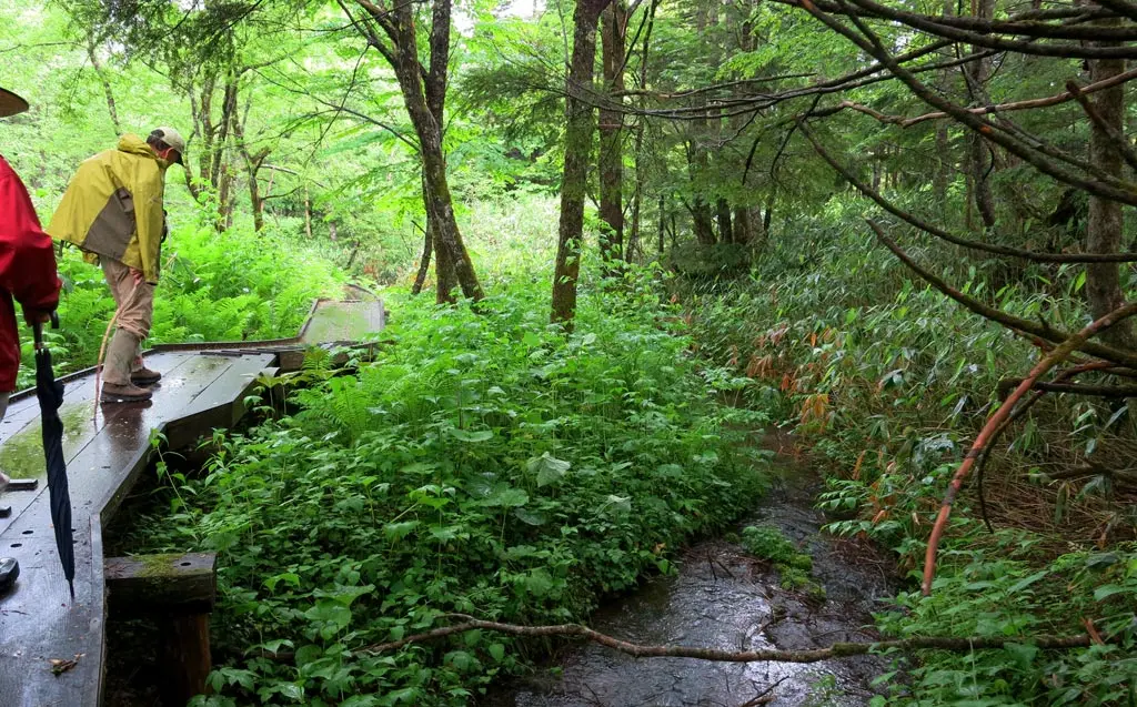
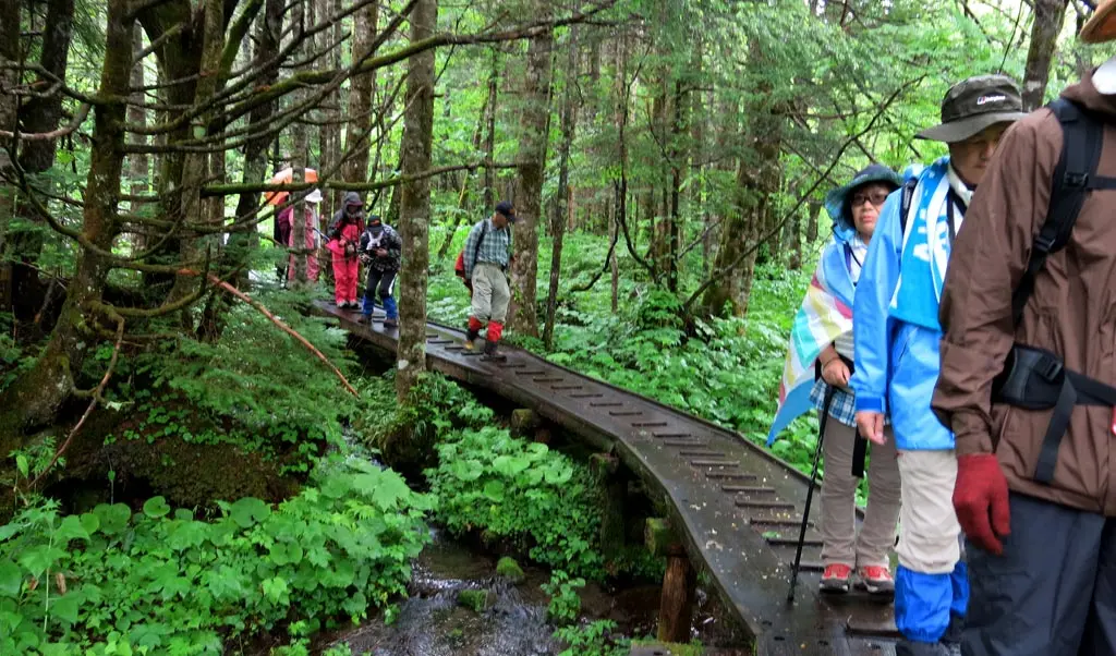
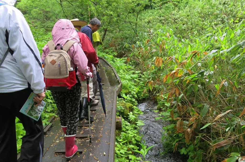
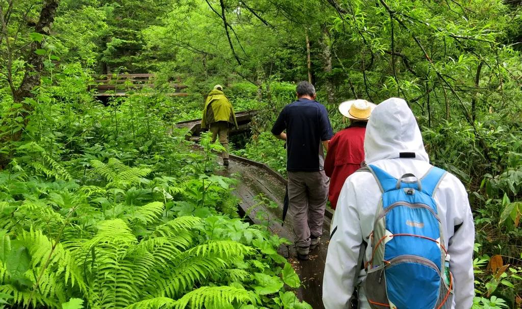
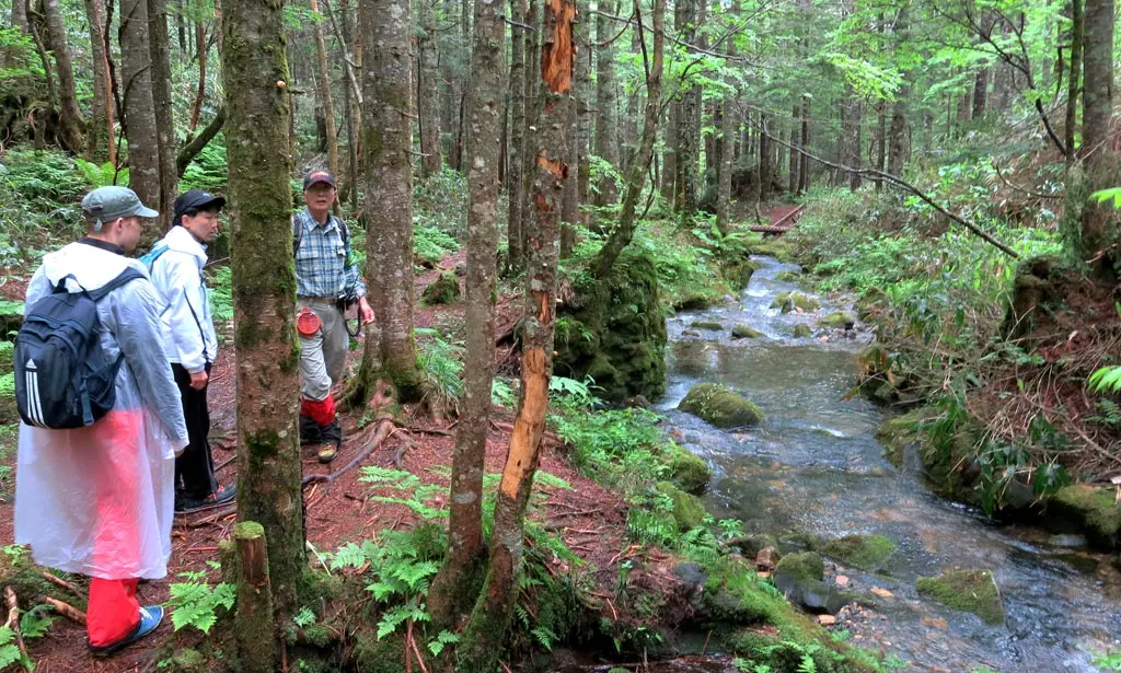
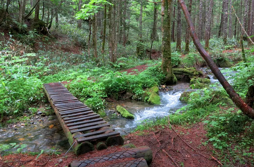
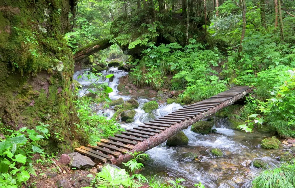
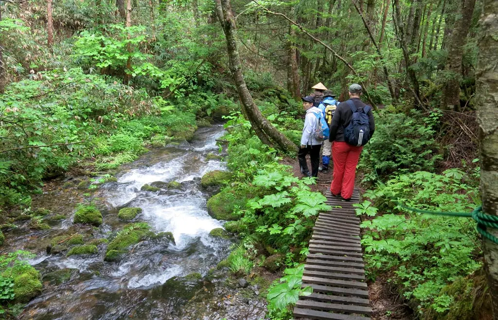
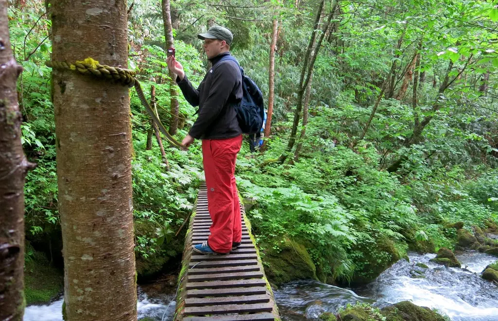
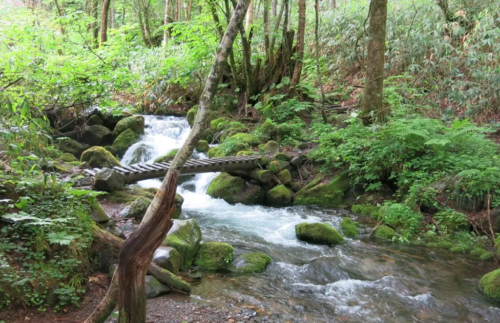
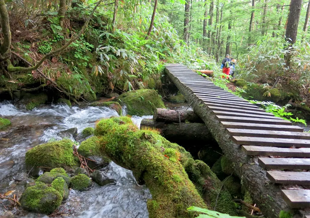
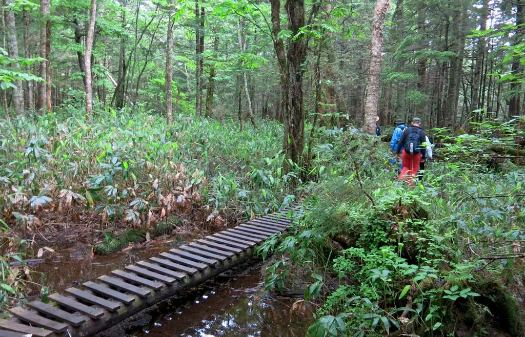
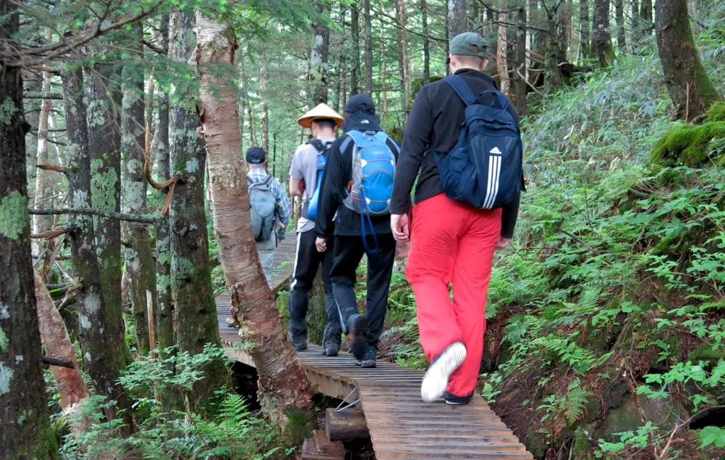
It was a rather damp day, as you can see from the photos. We started walking the course around 9:30am. There was a light rain in the air. It was nothing heavy or torrential. It made the wooden walking bridge incredibly slick, though. Our group continued across it at a very slow pace to make sure no one slipped and hurt themselves.
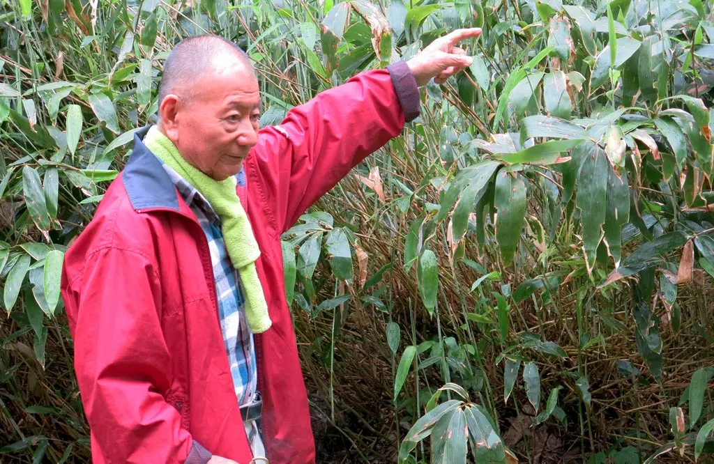
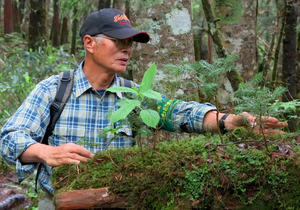
We stopped every couple of minutes, and Dr. Miya___? gave a speech explaining the surrounding fauna. When we reached the actual wasabi plants, he bent down, and pulled up a wasabi plant for all of us to examine. Each of us, pricked a tiny portion of the plant and ate it. I could definitely taste a hint of wasabi, but it wasn't nearly as potent as the stuff you'd have at restaurants, or grocery stores. He gave us another wasabi plant to taste. This time, I tried part of the stem, and that definitely held the potent spicy flavor I was used to.
We continued through the light rain, and Miya___? continued to give light explanations of the environment around us.
After about 40 minutes, we reached the road once again and met with the Snake Dashidani Bridge 蛇出谷橋 (じゃだしだに). And right next to the bridge, was the first waypoint, and the beginning of the Short Course.
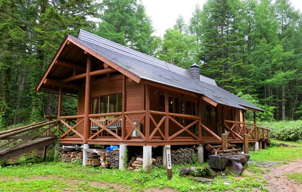
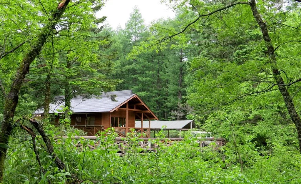
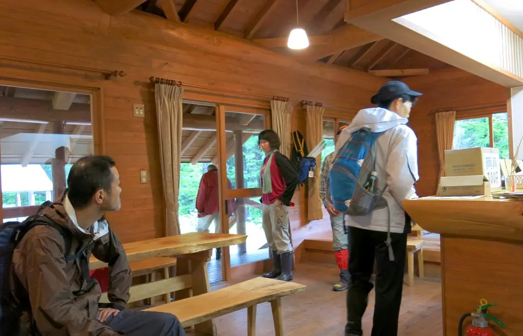
We arrived at the hut around 10:10am, which resides at 1600 meters above sea level.
This is intended to be the halfway point for the normal "Shirabiso" course, but it was our starting point. We rested for a little bit, but the mosquitoes in the area were terrible. Constantly buzzing into your face, eyes, nose, and ears. The guides put together their bug repellent contraptions. Other people starting putting our their bug spray.
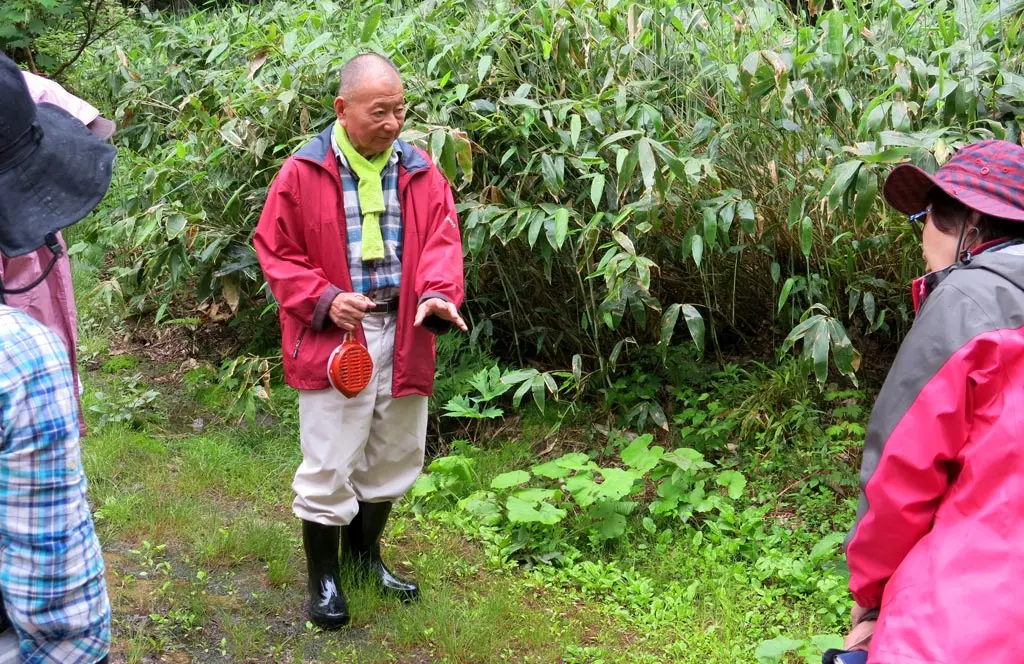
Dr. Miya___? continued to talk about the surrounding fauna. In the above picture, he mentioned that the plants under our feet are incredibly resilient. They can be stepped on, or driven over, but they are unharmed and continue to grow.
The plants behind him are grass and weeds that have grown without the intervention of mankind. Without anyone cutting them, or taking care of them, nature can grow completely out of hand on its own.
Unfortunately, the Iwanami Hut was the end of the journey for the doctor. He was not able to travel with us for the entirety of the hike today. But, it was great to be able to meet him, and partially understand some of the wisdom he attempted to impart on me.
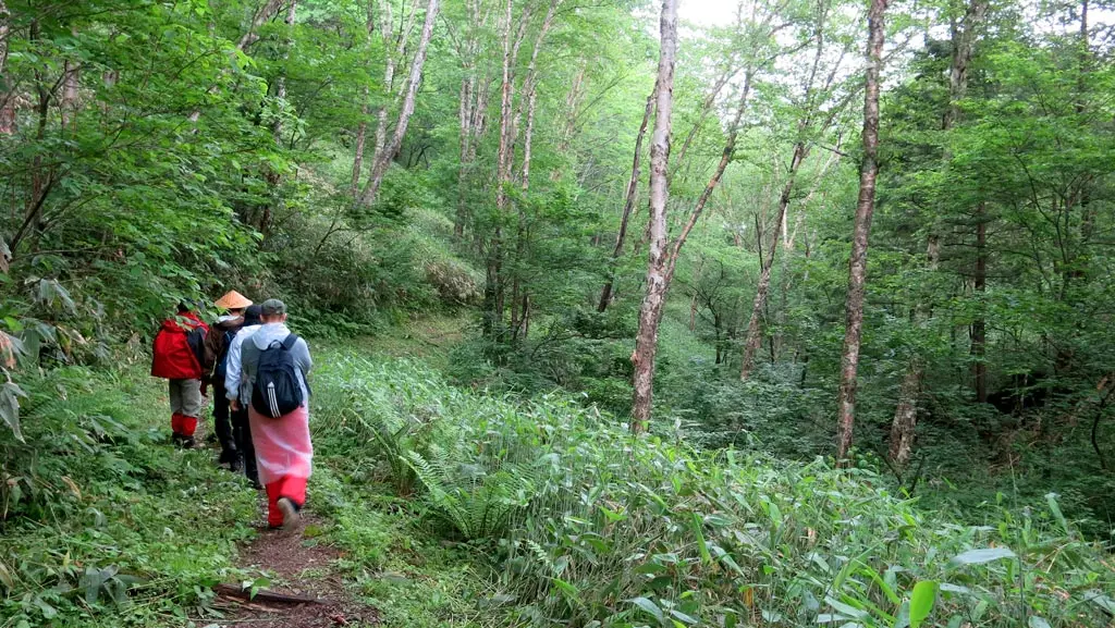
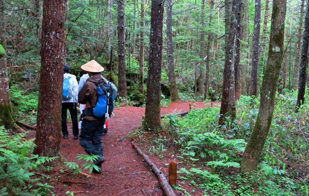
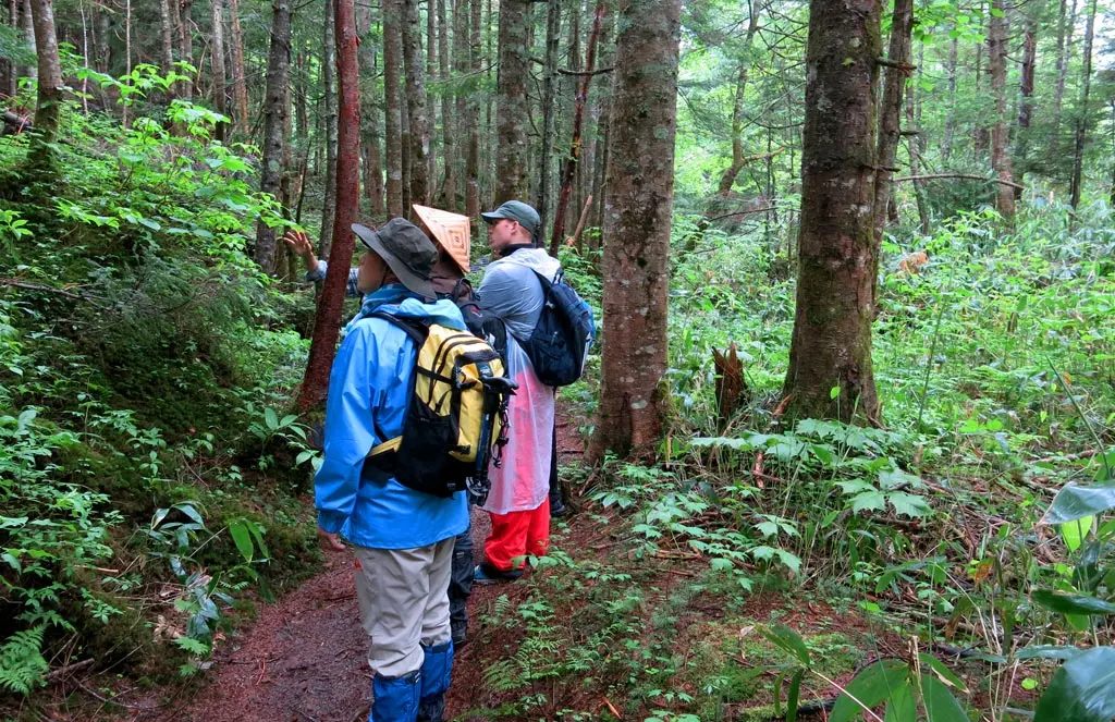
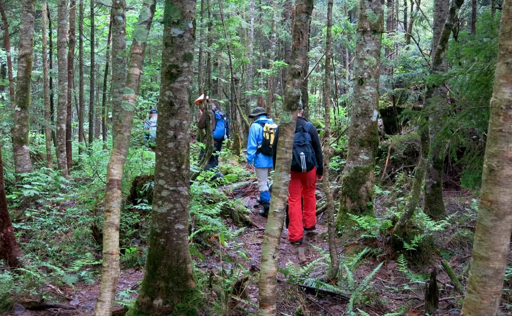
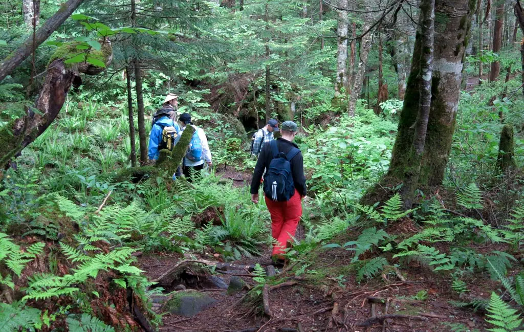
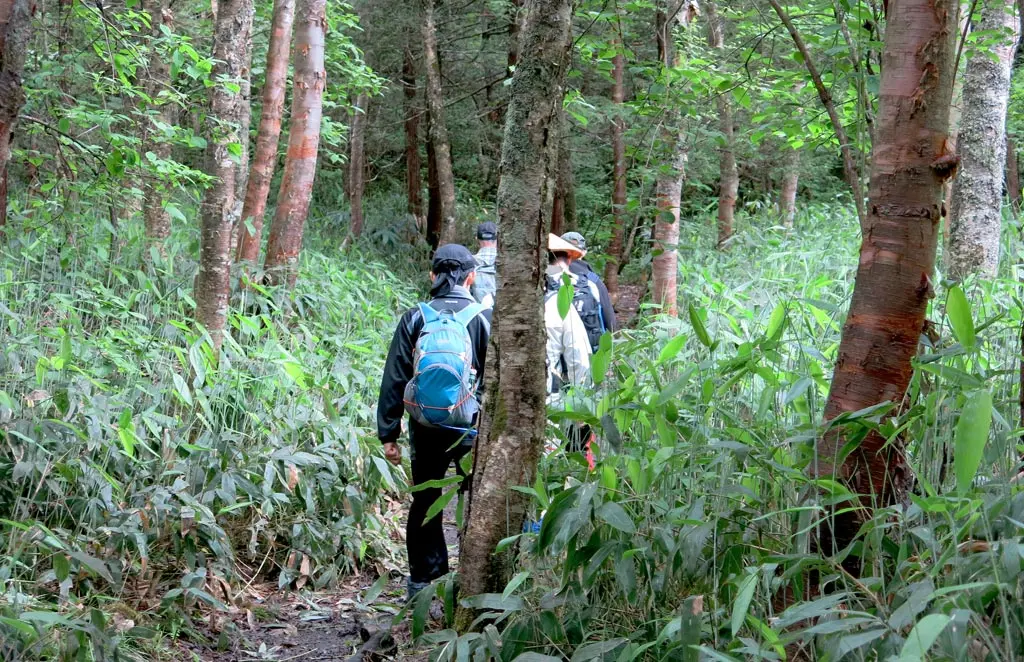
At this point, our big group split into 2. The men formed the first group, and the women formed a group behind us. There were 6 of us, including the guide. We left to begin the Short Course around 10:30am.
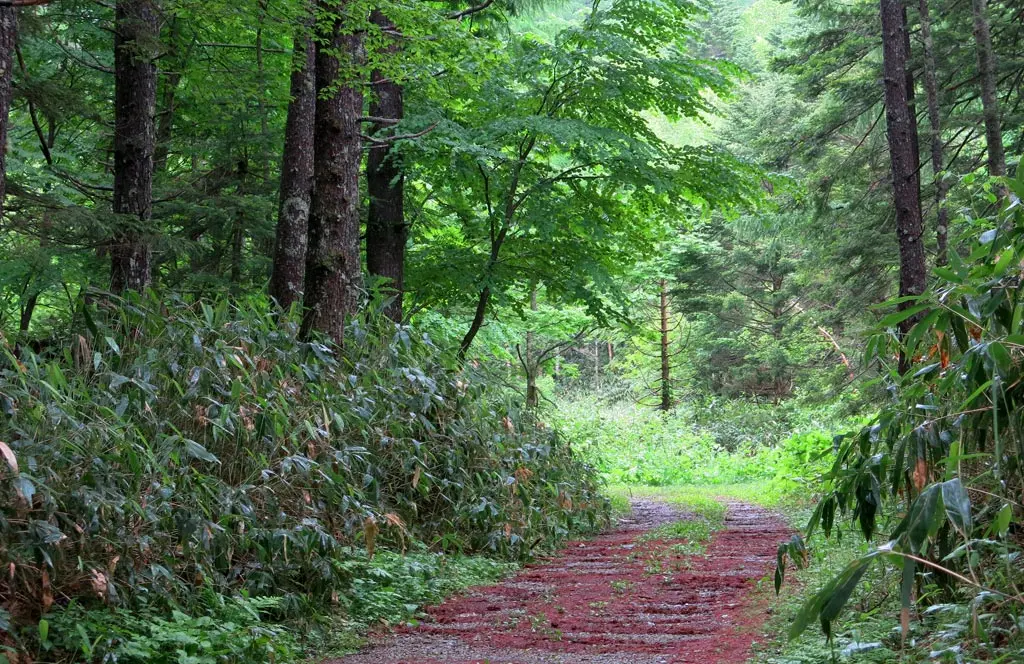
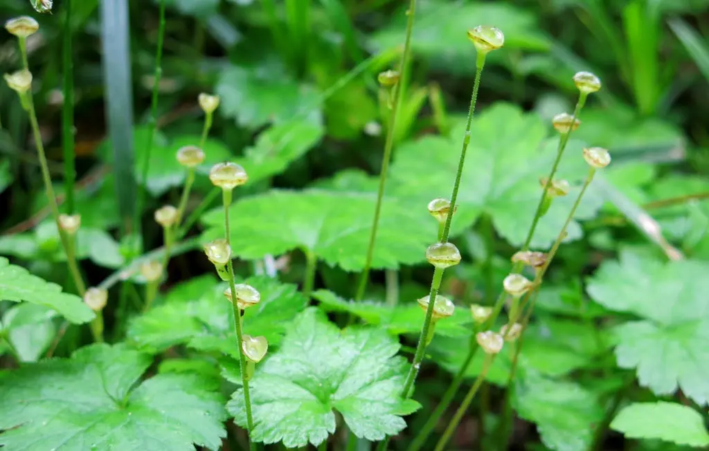
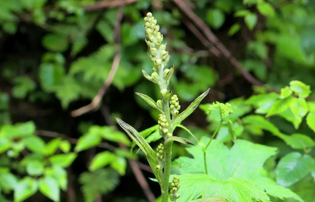
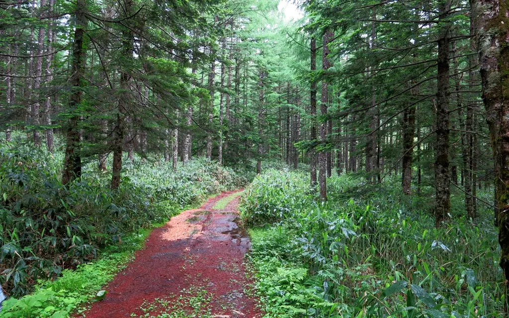
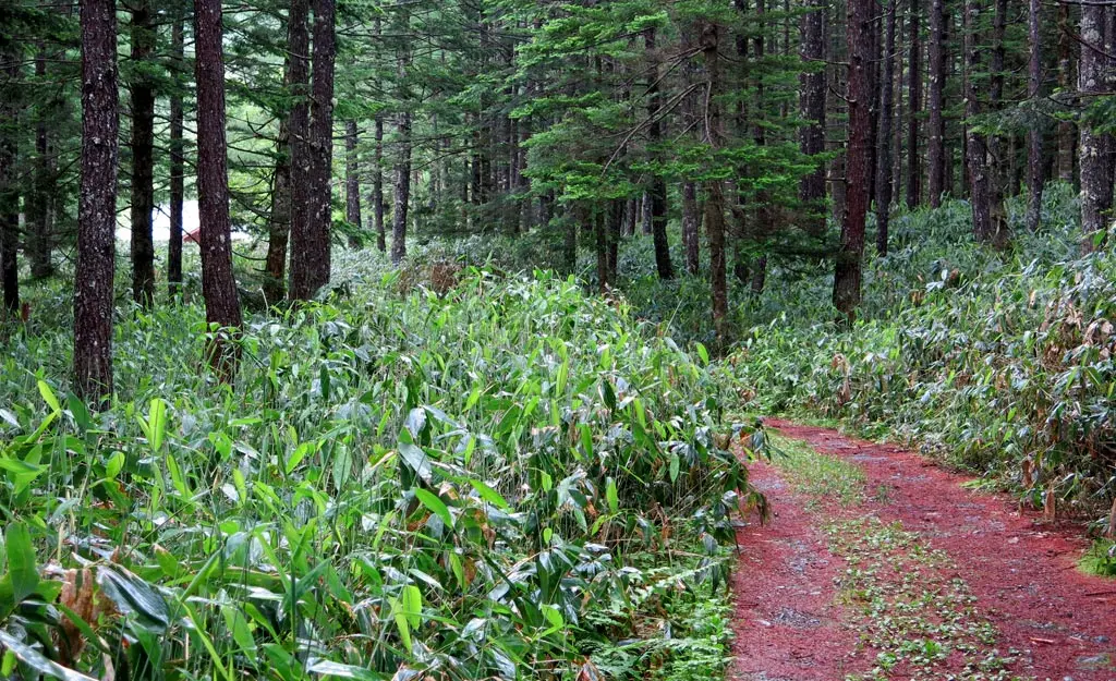
The road continued into the woods. Much like Miya___?, our guide pointed out many of the interesting plants. The above plants were described at trumpets by the local people who first came to the mountain thousands of years ago. Several creeks, and water flows ran underneath the road carrying the rain water the pounded us earlier.
But, our path was basically just a road. There was enough room for any automobile to drive up here, so it didn't really feel like some mountainous path. It just felt like a service road.
20 minutes after we began the Short Course, we reached our first waypoint.
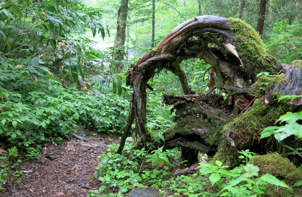
The Shirabe Marsh Entrance (さわぐち) marked the highest point in our hike at 1640 meters. There was a clearing, which was probably for any vehicles to turn around. There was a pretty gnarly lookin' tree on one side, and the path to the woods on the other.
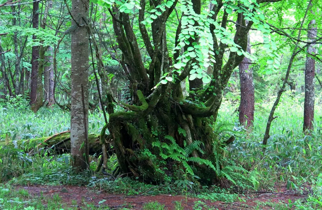
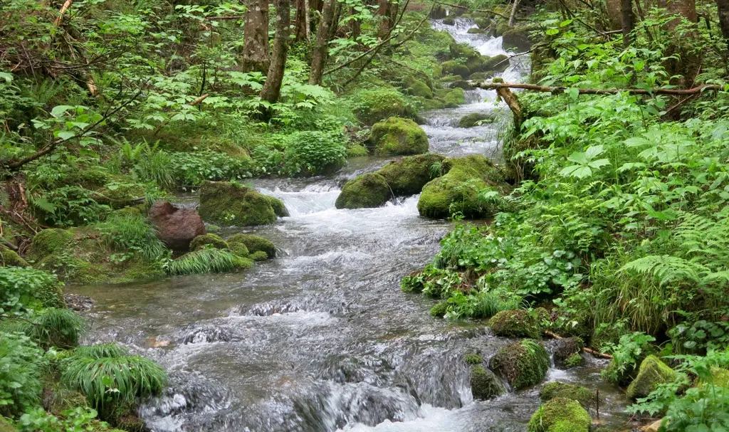
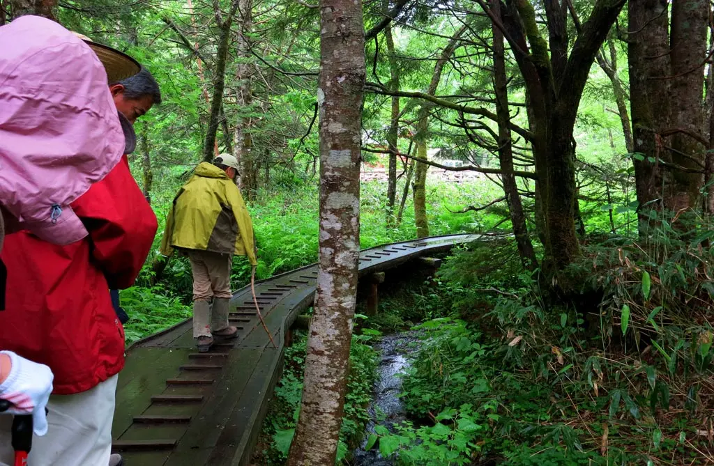
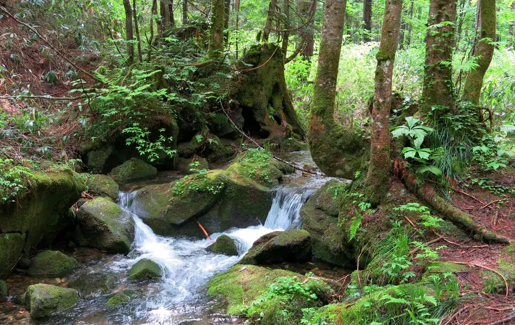
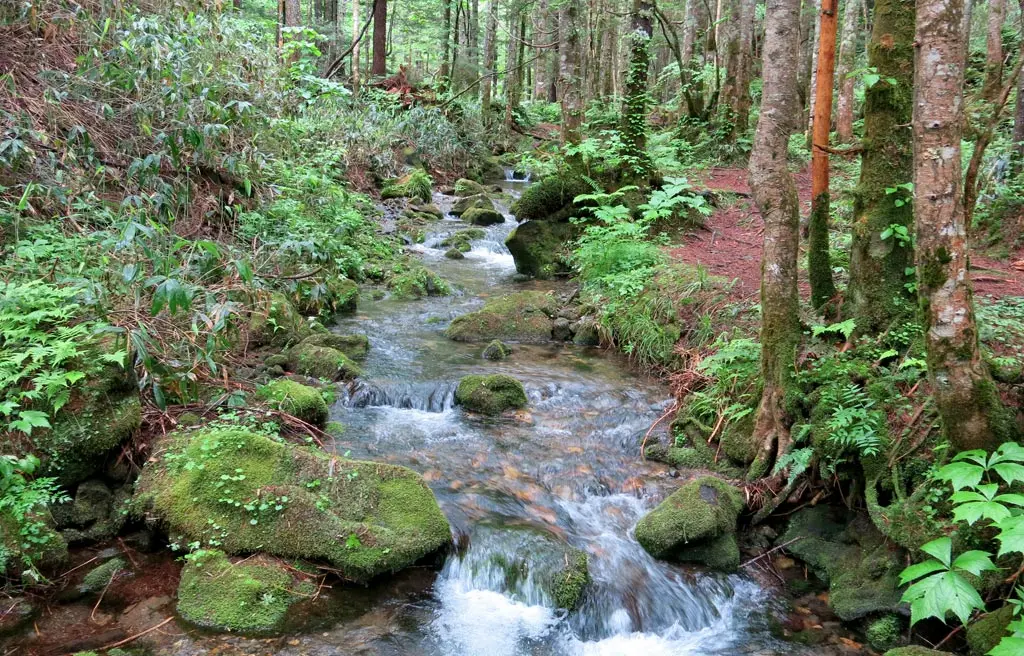
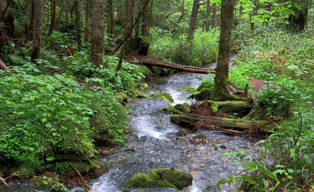
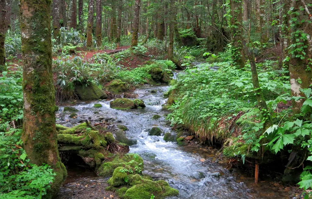
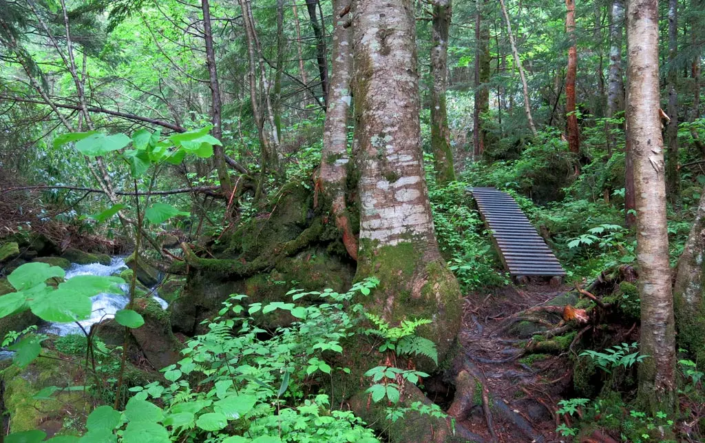
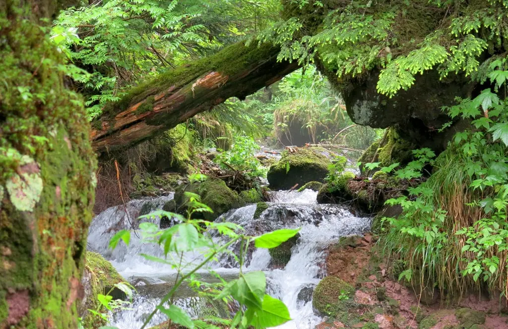
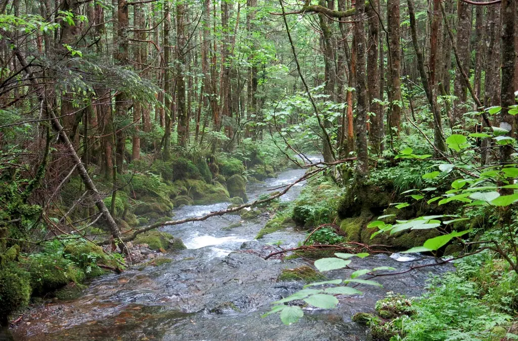
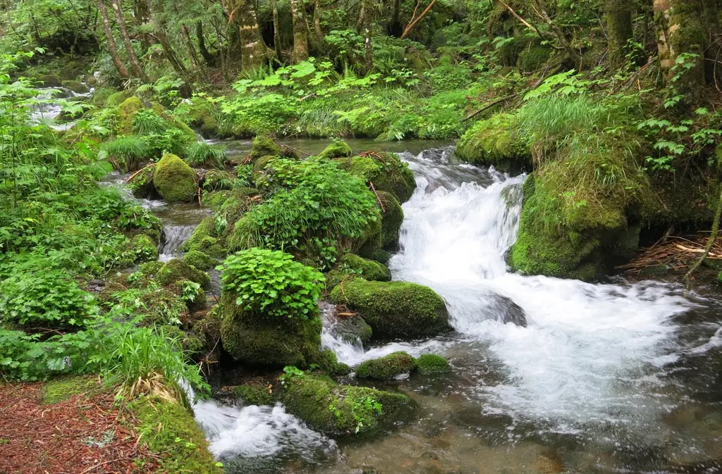
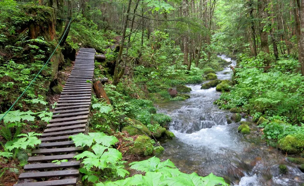
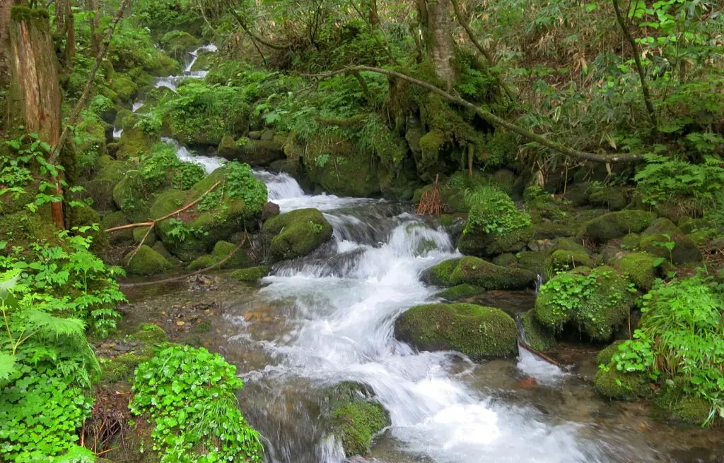
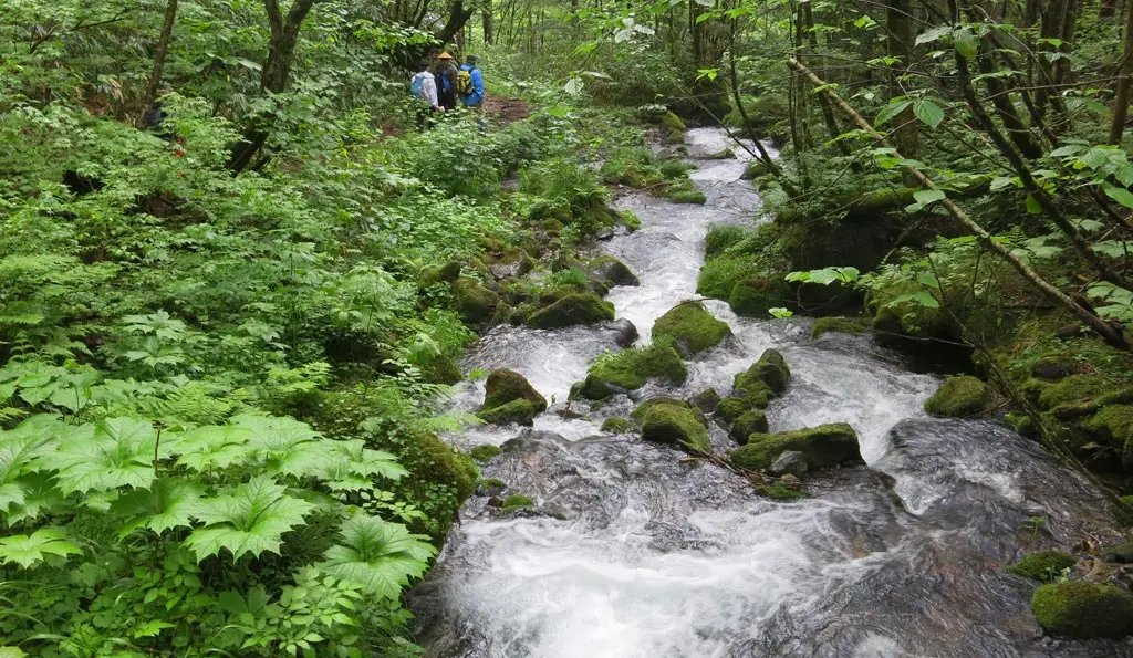
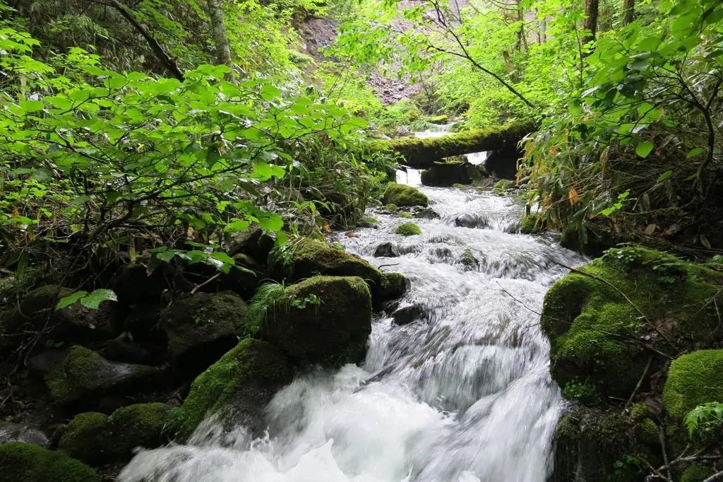
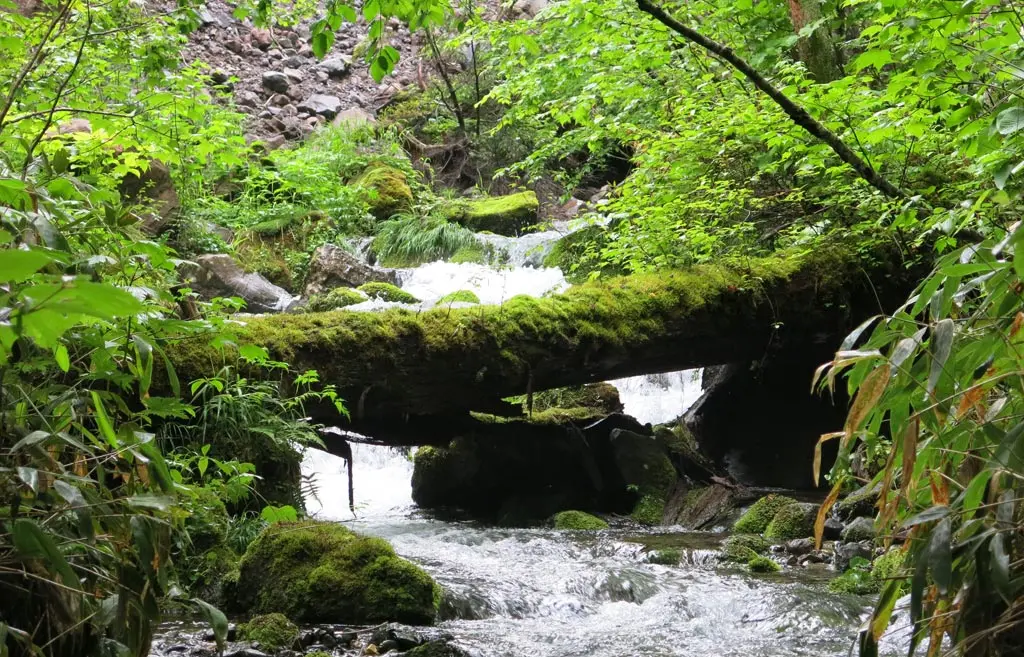
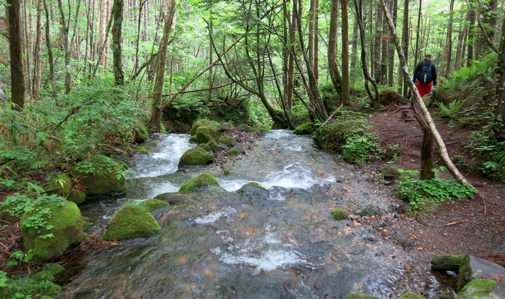
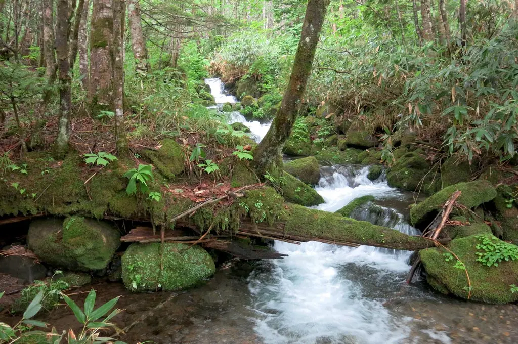
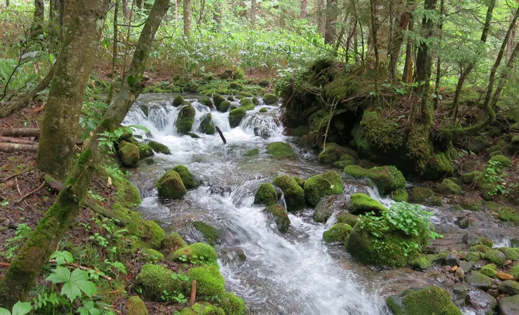
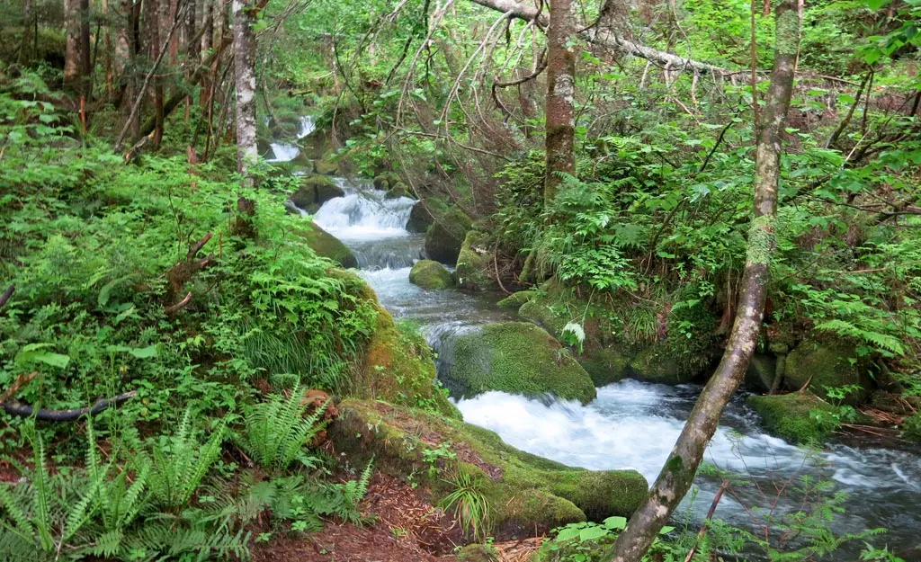
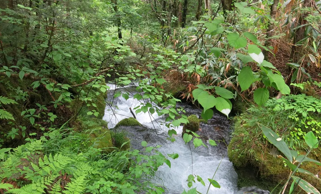
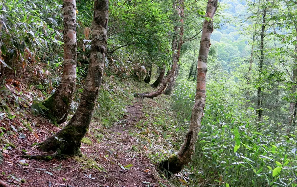
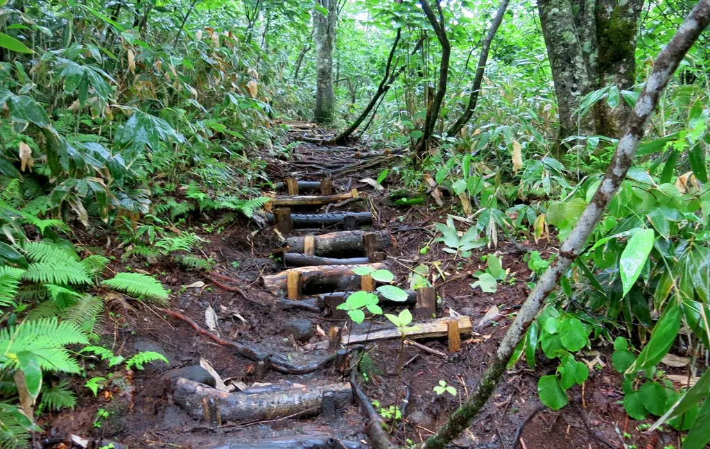
We entered the path, and this felt like the true start to our hike. This was the Seseragi せせらぎ path down the mountain. It followed a stream of water. This path was about 1.3 kilometers long, and took us down 150 meters in sea level.
We stopped several times as our guide explained what we were seeing in the forest.
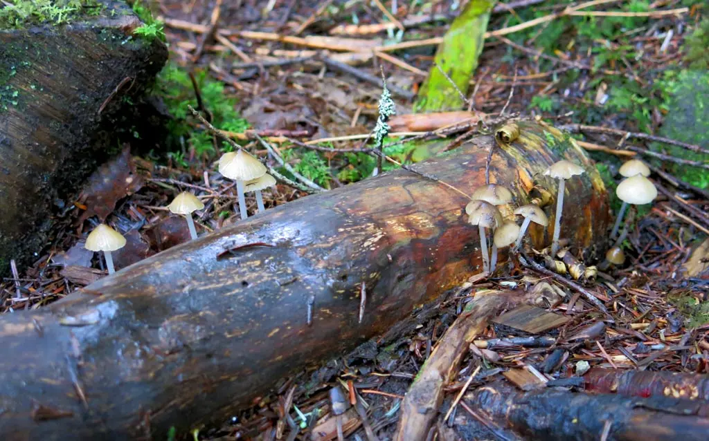
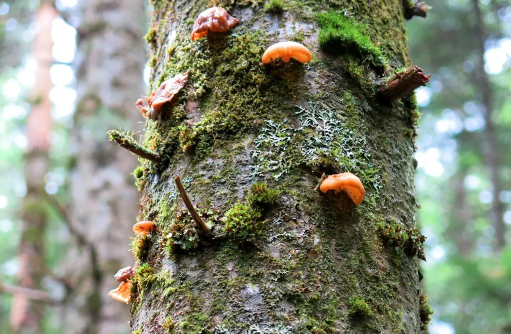
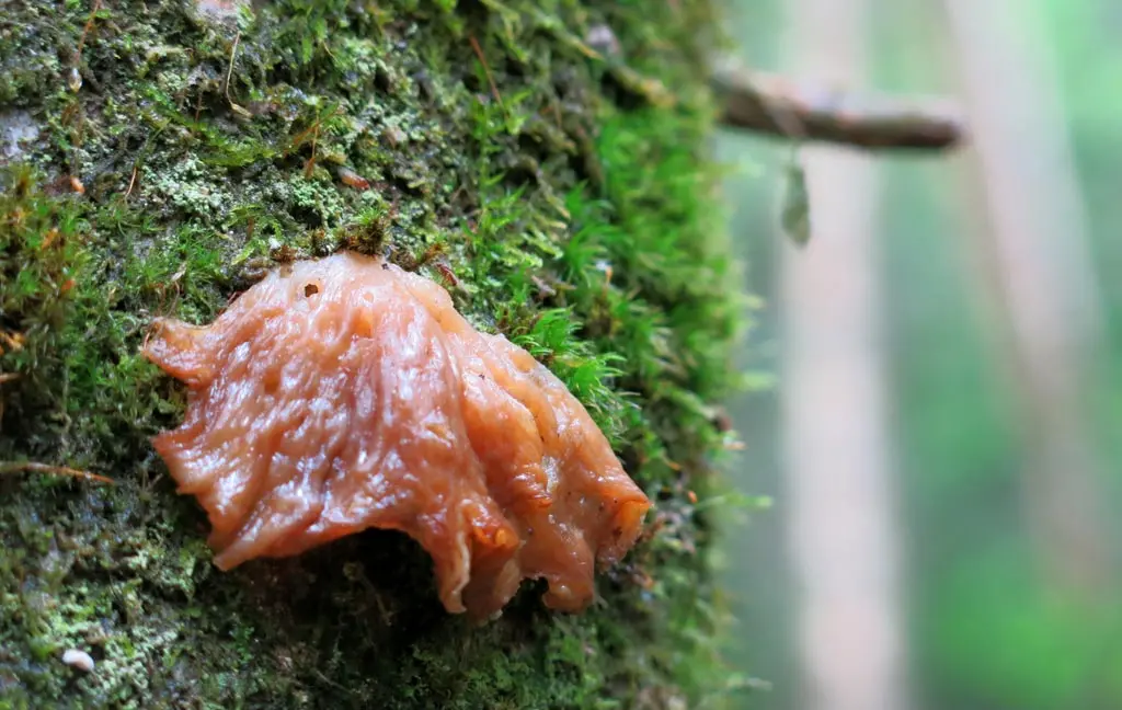
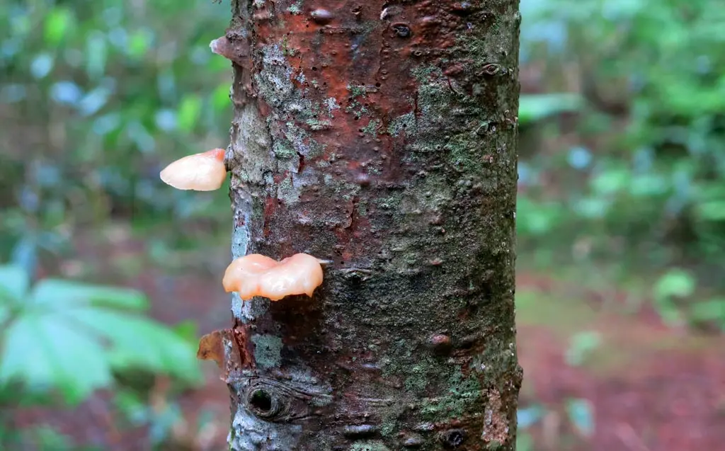
He talked about the mushrooms and other fungus of the forest. They are basically the "cleaners" of the forest. Any dying or decaying matter in the forest is eaten by the fungus, and recycled back into nutrients for the living creatures of the forest. The eat away disease and rot, and keep everything clean.
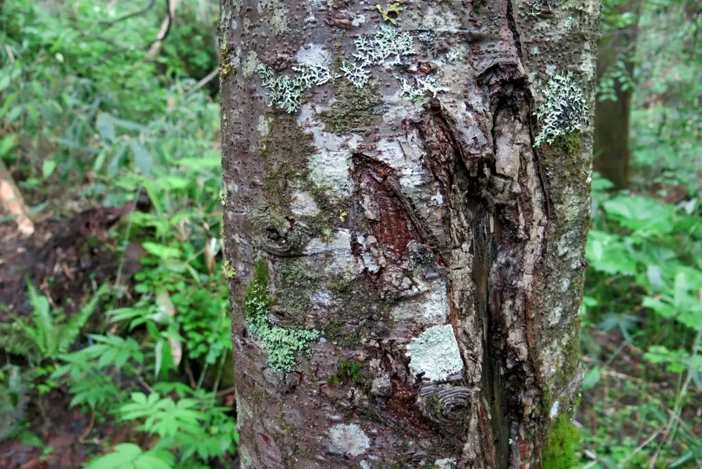
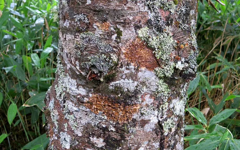
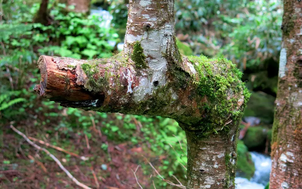
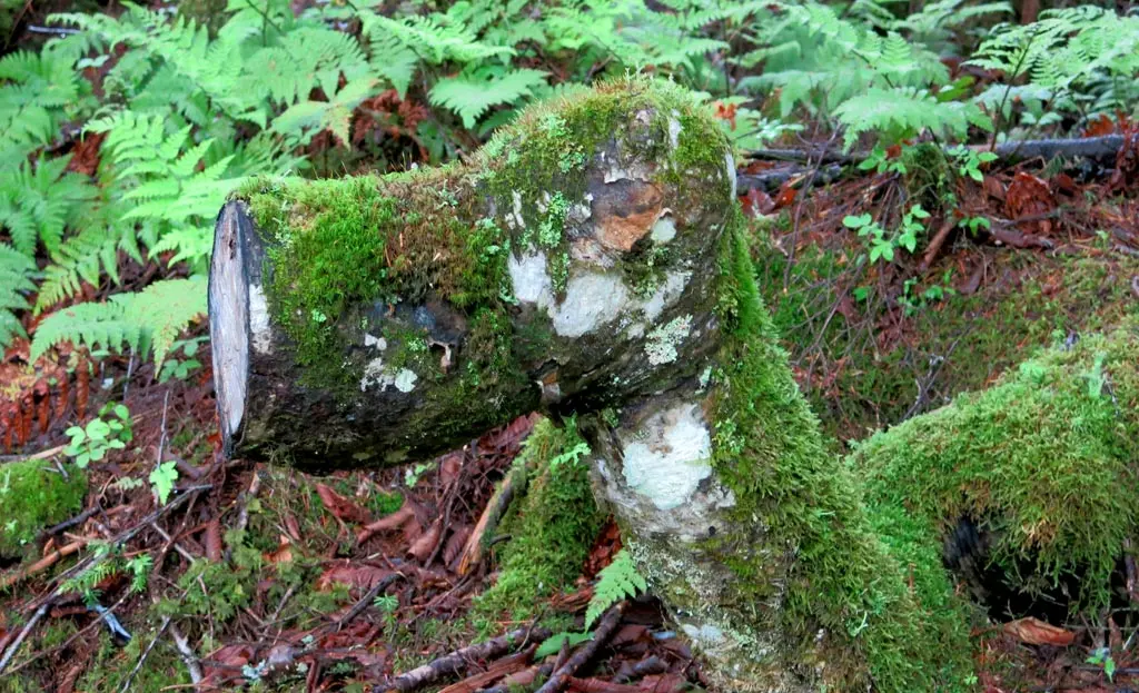
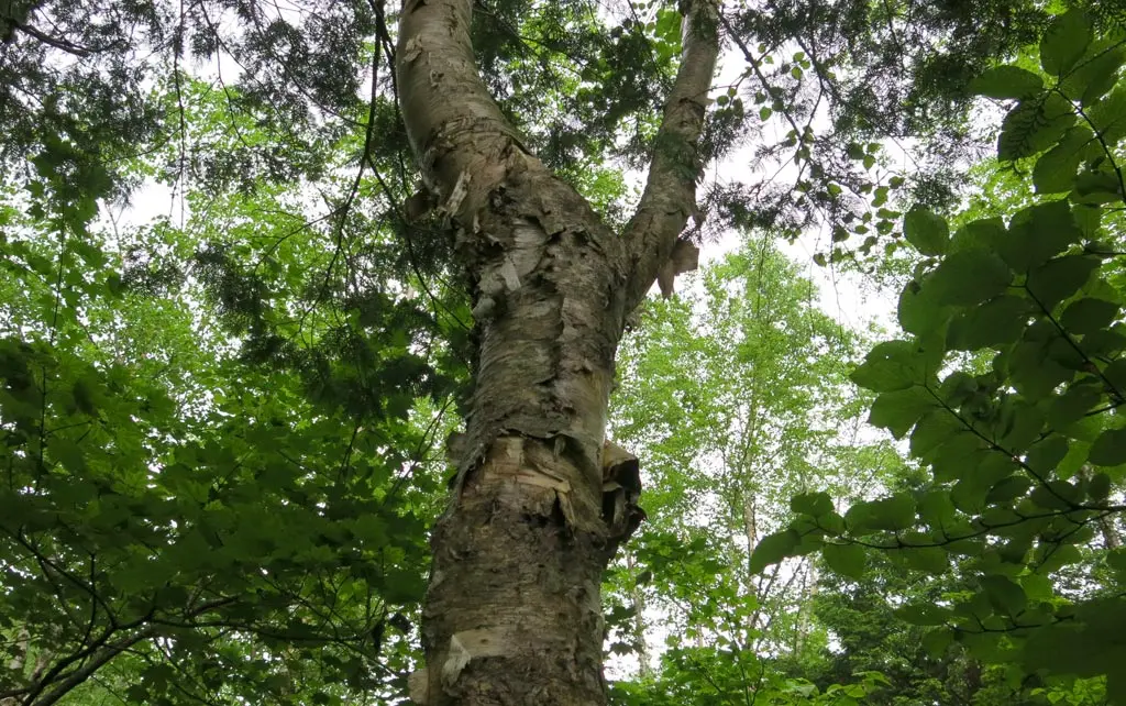
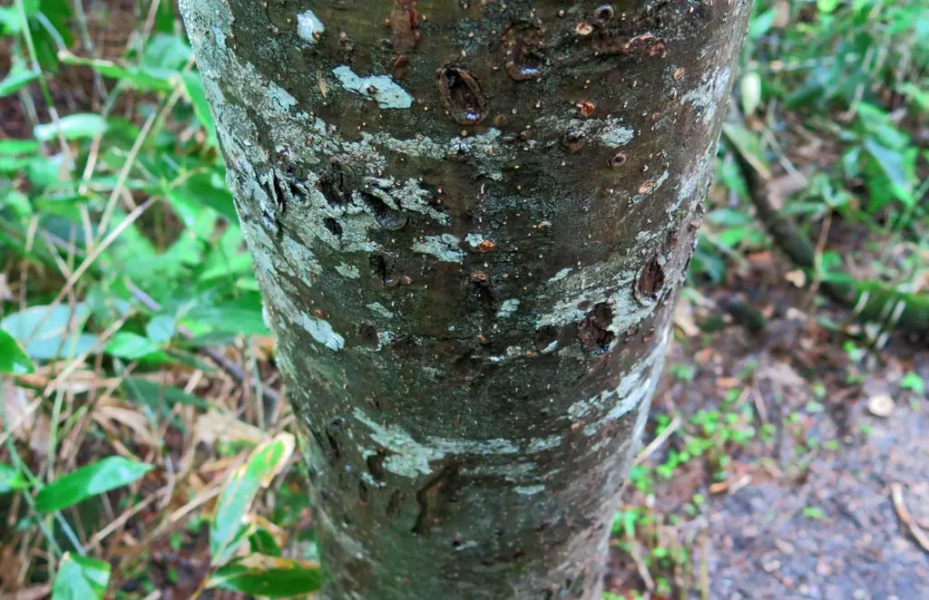
Additionally, as shown in the photo below, many of the trees have slight bulges in their trunks. These are small pockets of sap squeezed out from the interior of the tree. This sap is also vital to the ecological system of the forest, providing animals, and insects food and nutrients to sustain their lives.
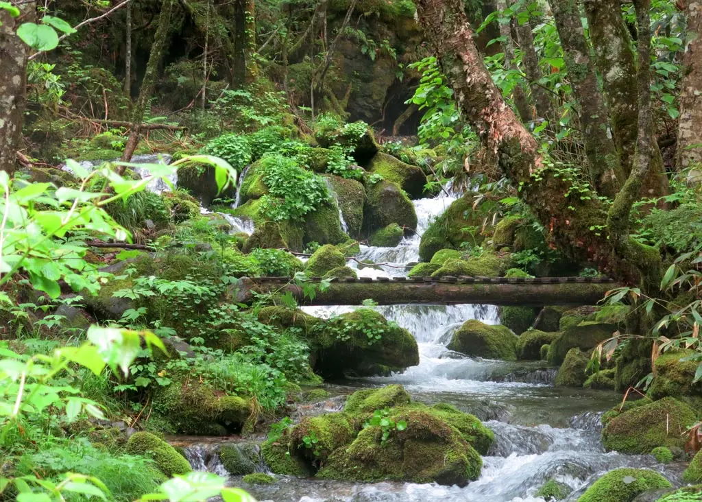
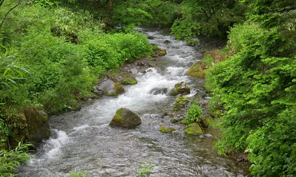
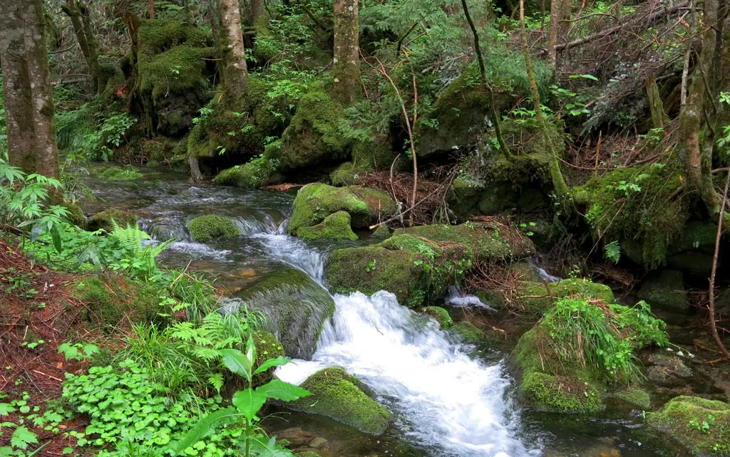
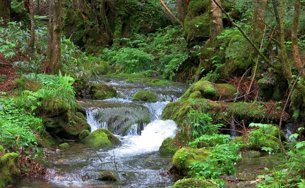
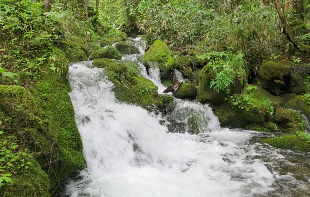
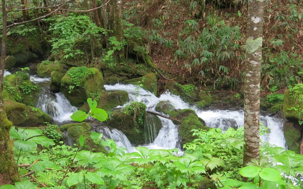
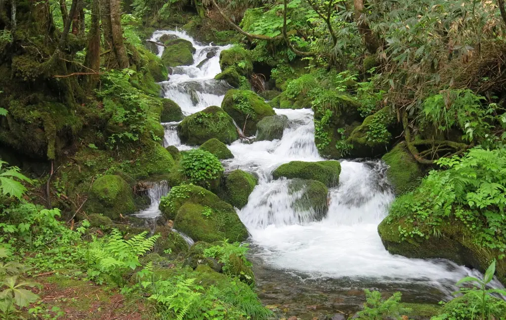
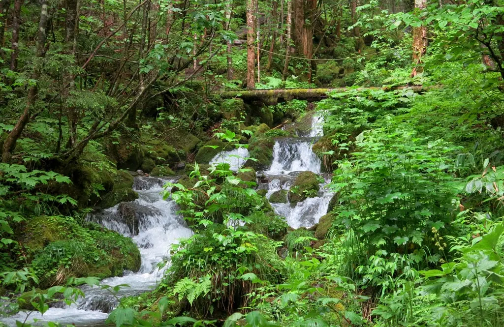
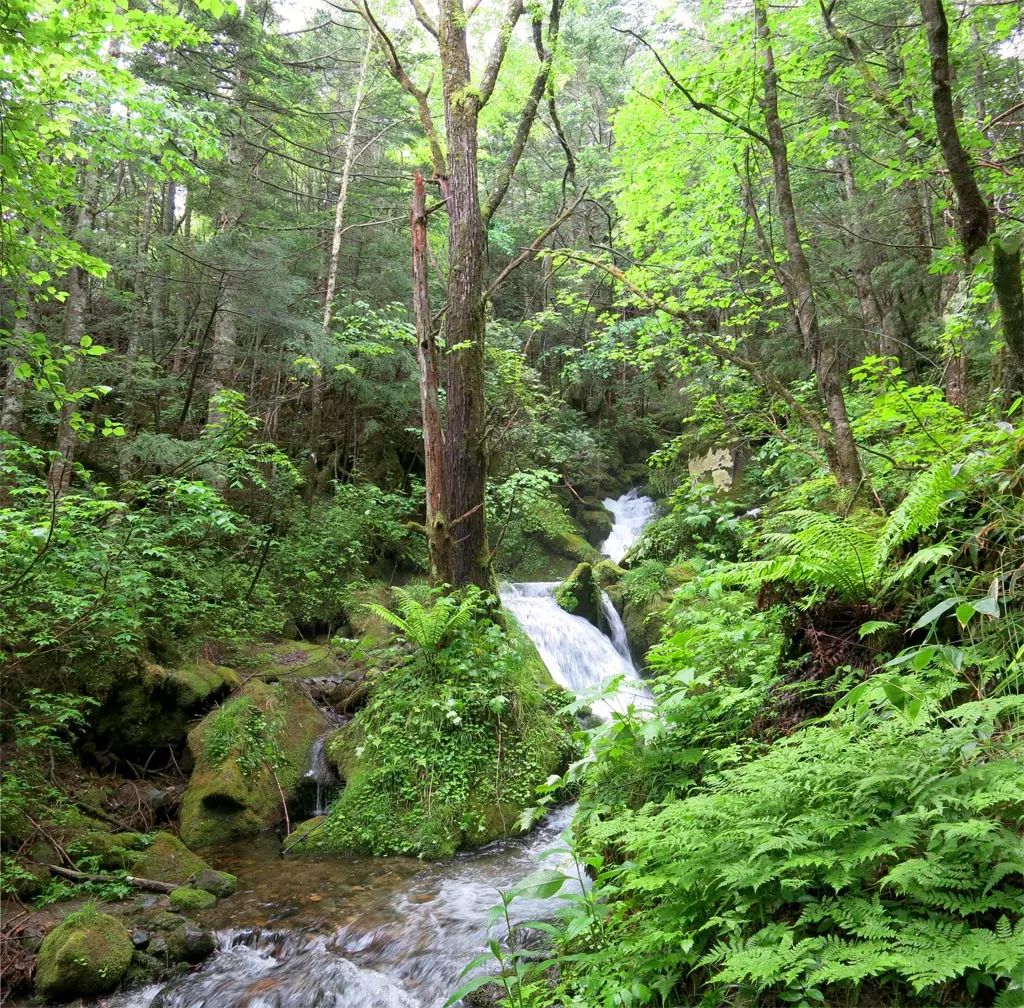
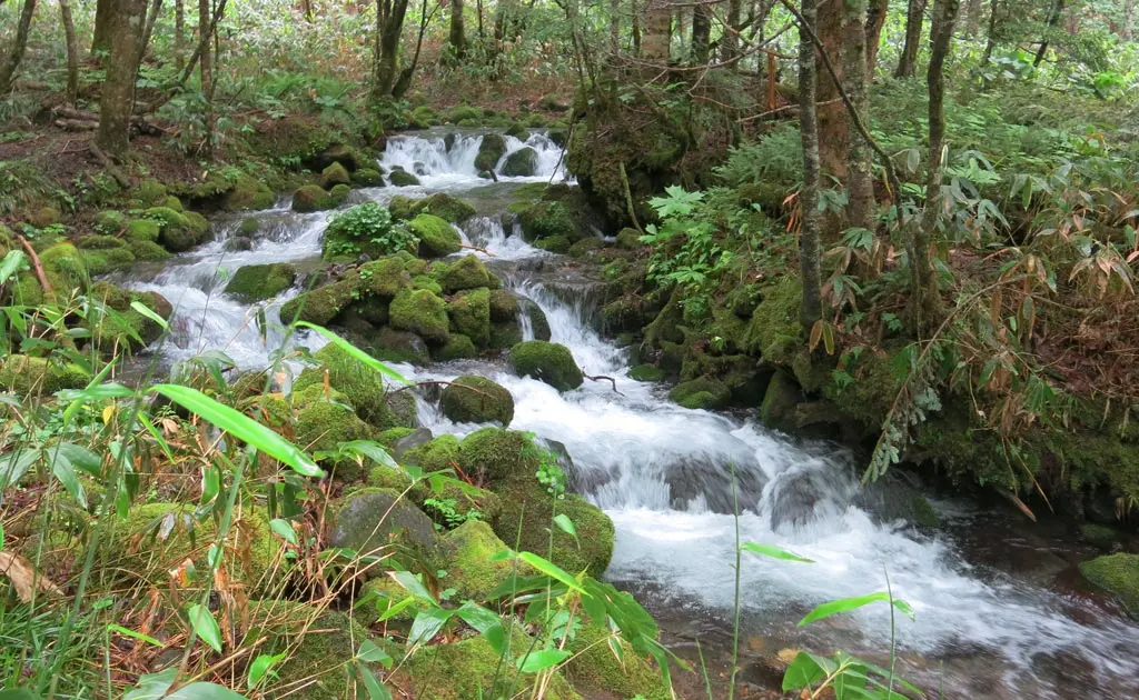
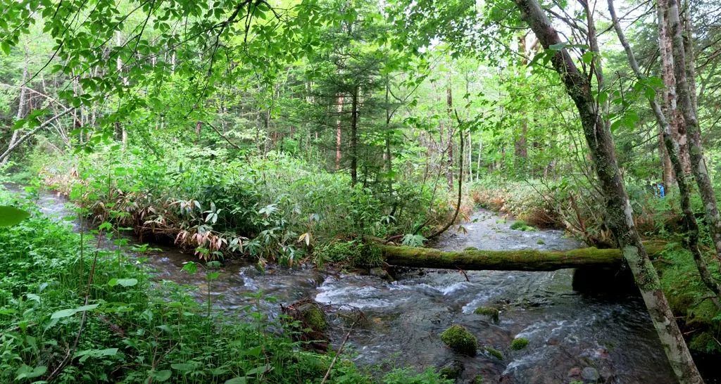
The path continued to move and bend over and around the creek. The further our journey took us down the mountain, the larger and more dangerous the water got.
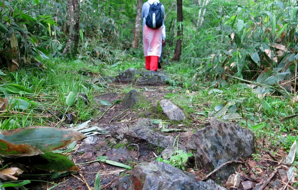
There is some safety precautions in the forest, but in these early stages, you need some decent balance to keep yourself from toppling over into the rocks and water. Unlike the wood way back in the wasabi fields, this wood was very course, so there was little chance of slipping.
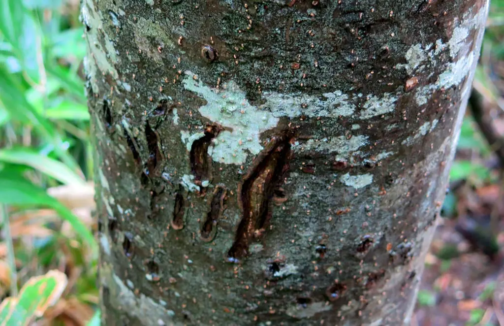
Our guide pointed out a few trees that has some massive lacerations. This area is occupied by many bears. And allow they don't grow to the size of grizzly bears in North America, they're still about the same size as a human, and can cause some major damage if you come across one. Most of the time, bears are harmless and leave people alone. They only fight if they have a reason, and the reasons are usually either protecting their young, or protecting some nearby food.
We reached the next waypoint at around noon, which was just in time for lunch. :)
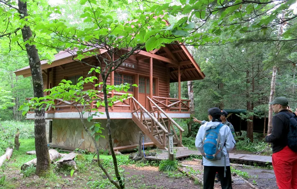
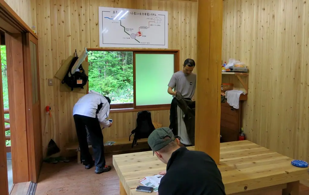
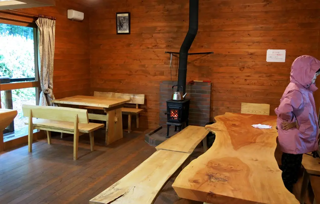
We went inside, took off some of our wet clothes, unpacked our lunches, and relaxed for a little while. I really didn't bring a whole lot to eat, but that was fine. I actually ate much of my lunch before I parked my car at the beginning of this journey. Smart move!
We talked about some random stuff, filled up on water, and continued our hike around 12:30pm.
At this point, all of the rainy clouds have gone away. Some sunlight broke through the white clouds. And everything started to look quite a bit brighter.
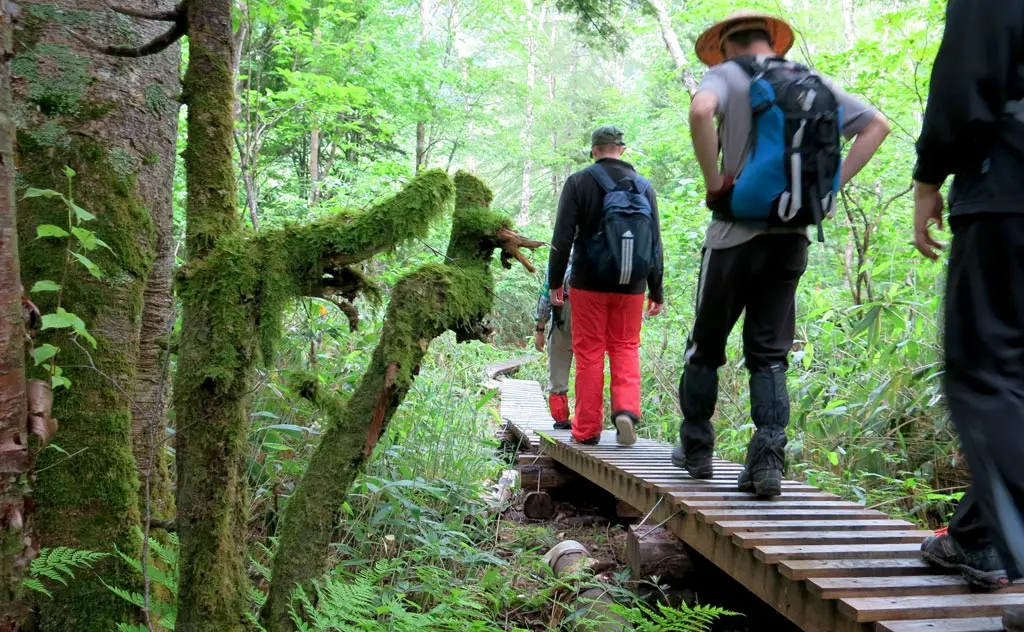
The next few waypoints, were all rather similar.
5. Nigori pond / 濁池
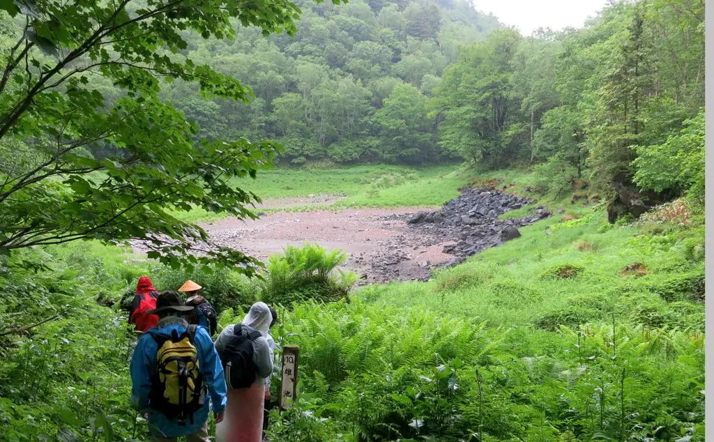
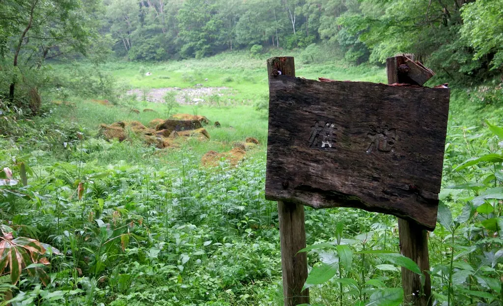
6. Oo pond / 雄池
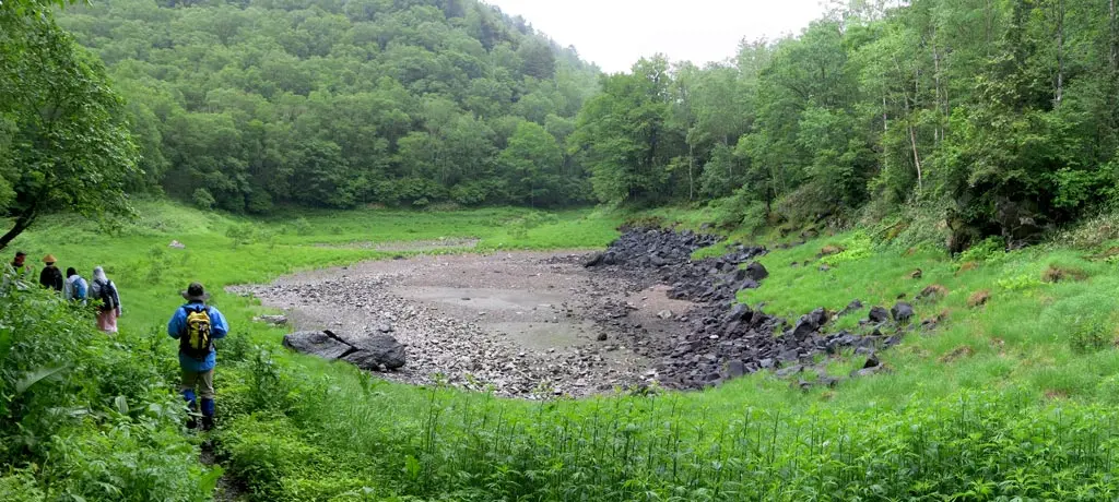
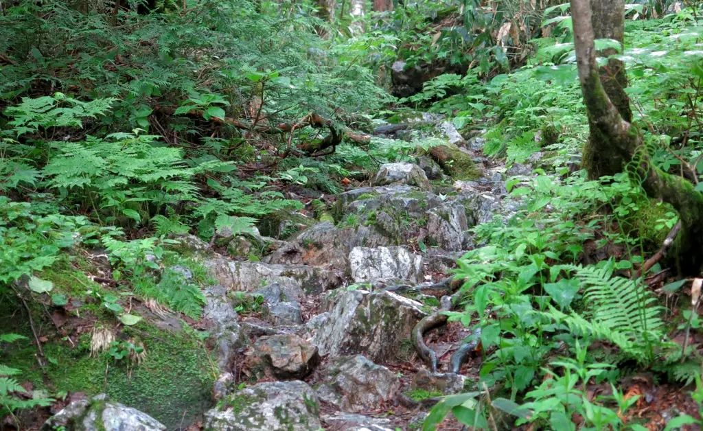
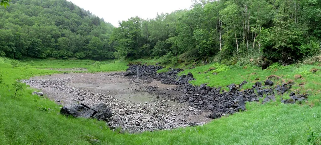
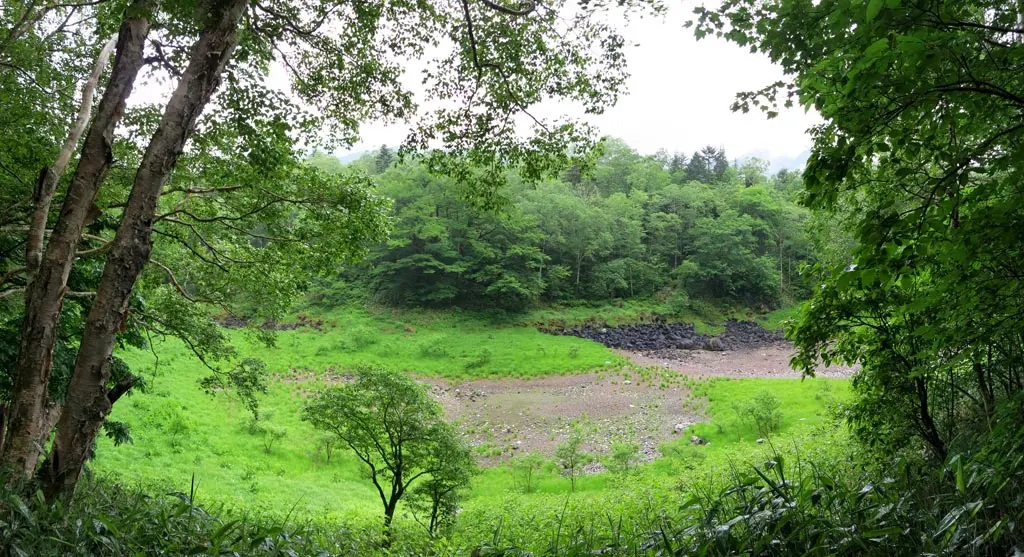
For the next 1.3 kilometers of rather level land, we came across 3 ponds. Each of these ponds were really left over reservoirs and pockets of water. These pockets were formed by vented lava thousands or tens of thousands of years ago. The magma rose through the surface, cooled, and formed into the rocky pathways we were moving through.
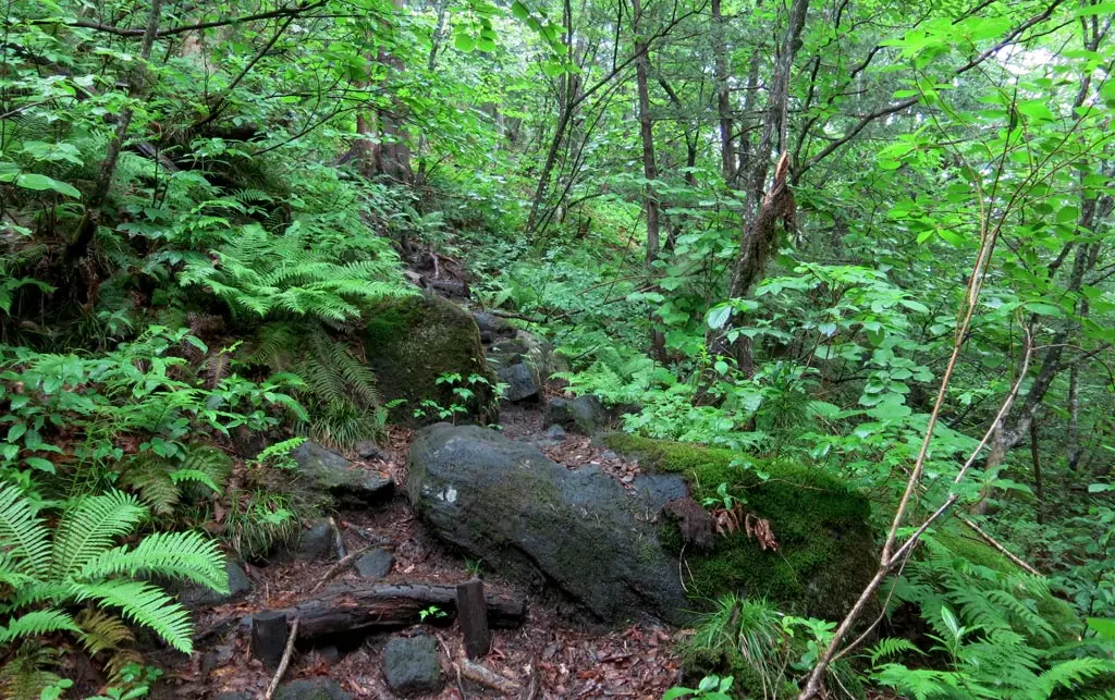
The evidence of magma is clear when looking at the rocks in our path. Most of rock in our path was angular and dark. In comparison, the natural rock, also observed near the path, is angular as well, but much harder and lighter and redder.
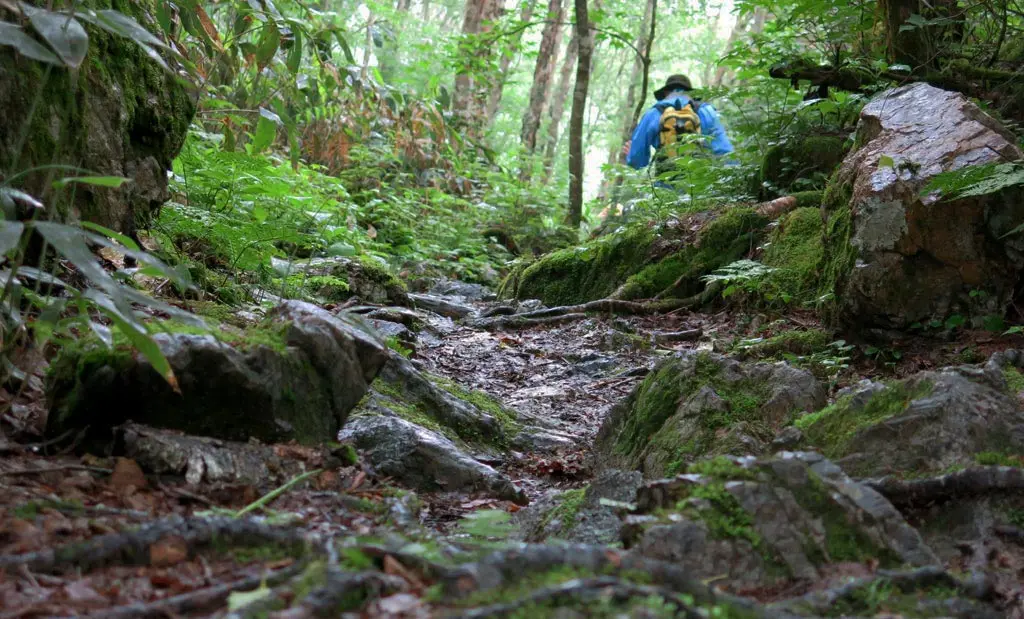
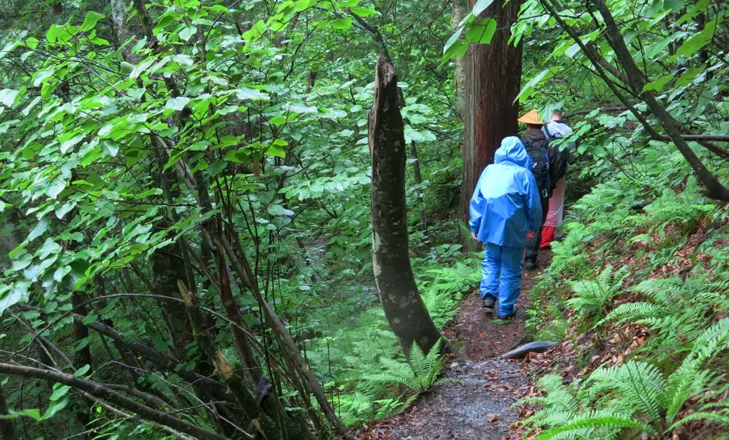
Just before we reached Oo pond おいけ, the largest and most prominent of the ponds, it began to rain. And this wasn't the nice cooling rain we met at the beginning of the hike. It was heavy and annoying. We stopped, and put on our rain coats to protect our clothing.
At 1:15pm, we made it to Oo pond. This area had the most evidence of a cooled harden magma on the surface. Some pockets of sulfur still breached the surface. Our path circled around the pond, and continued moving north.
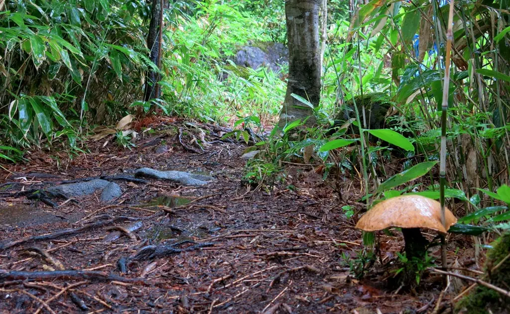
Our path took a few sharp climbs up the hillside, and at 1:50pm, we reached the Haseki-touge, a small plateau that over looked some of the surrounding area.
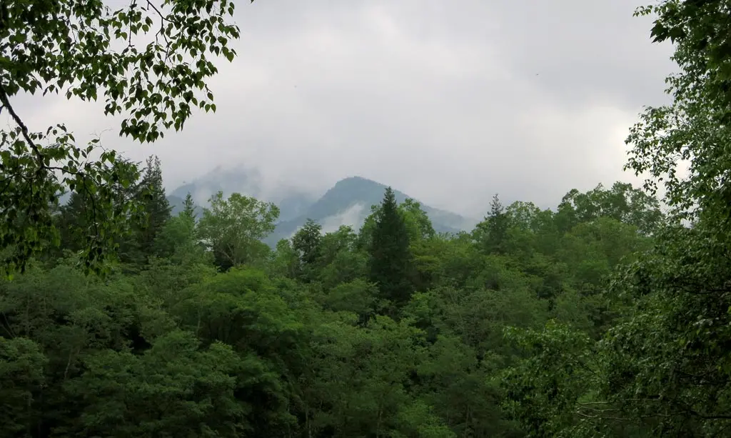
Unfortunately, because of the clouds and the rain, we couldn't really see a whole lot. We could only see the closest neighboring mountain, rather than the taller parents in the distance.
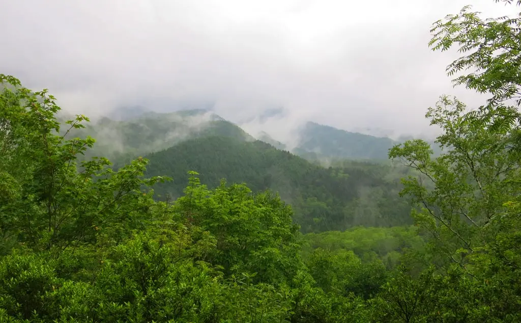
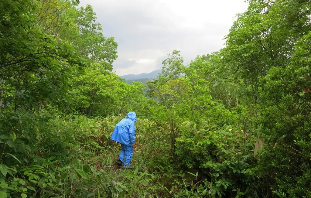
We continued past the ridge, and made our descent the final locations of our hike: the waterfalls.
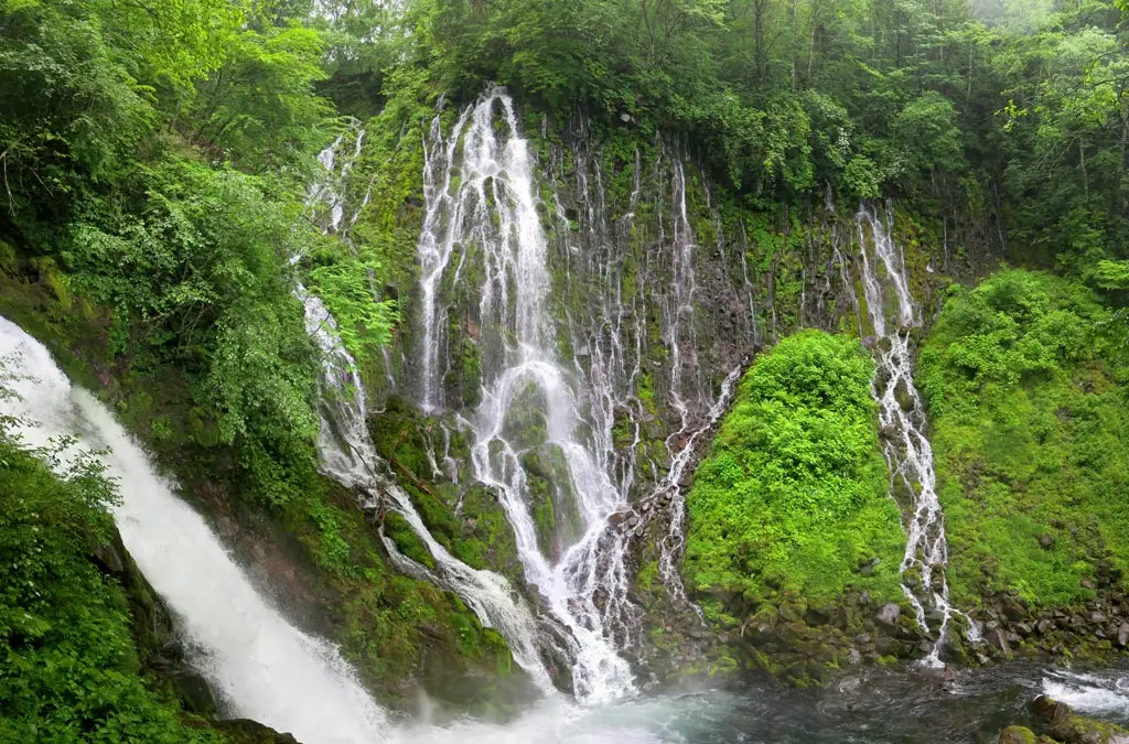
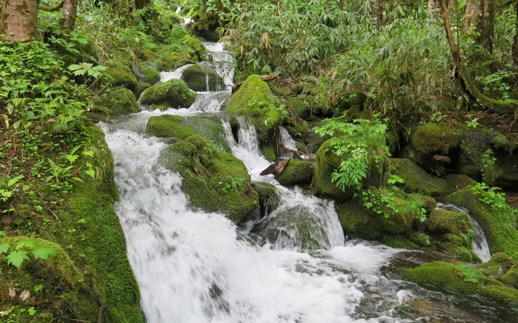
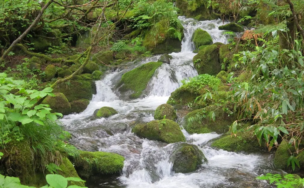
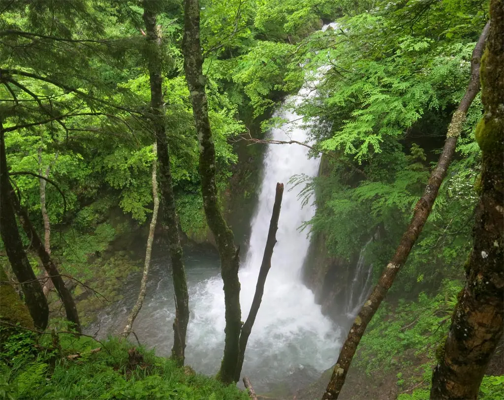
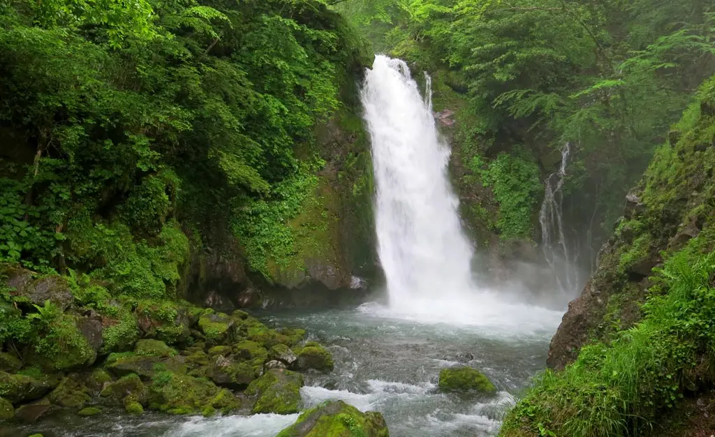
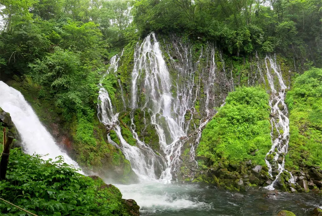
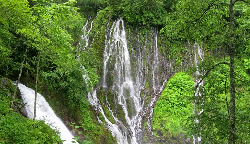
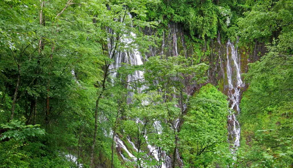
One of the most spectacular and unique formations to see along these hiking trails are the waterfalls. In fact, they are used as the poster-children of the whole hiking experience. Our specific tour only cover 3 of the falls, but they were still rather large and beautiful.
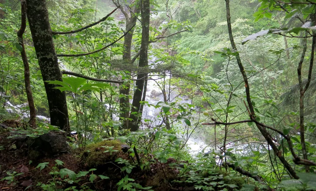
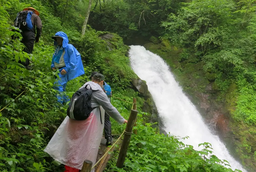
After covering another kilometer of terrain, and dropping 100 meters in sea level, we reached the end of our accompanying stream. Our trail descended nearly straight down. We had to be very careful not to slip or fall.
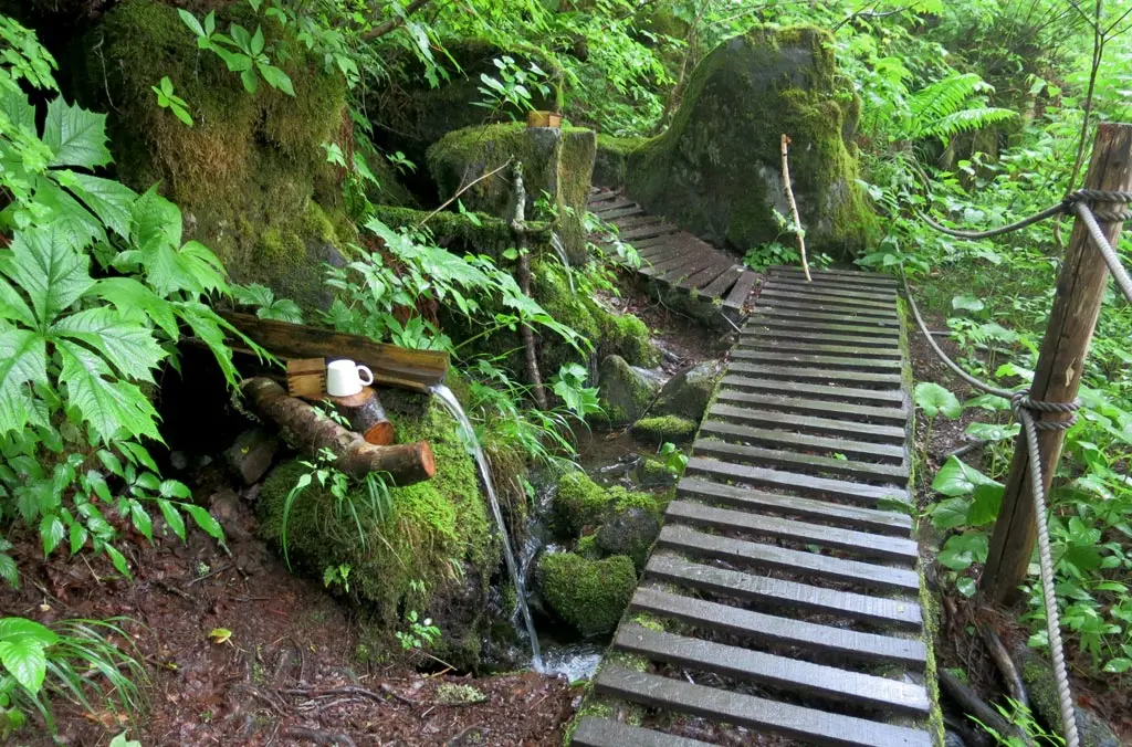
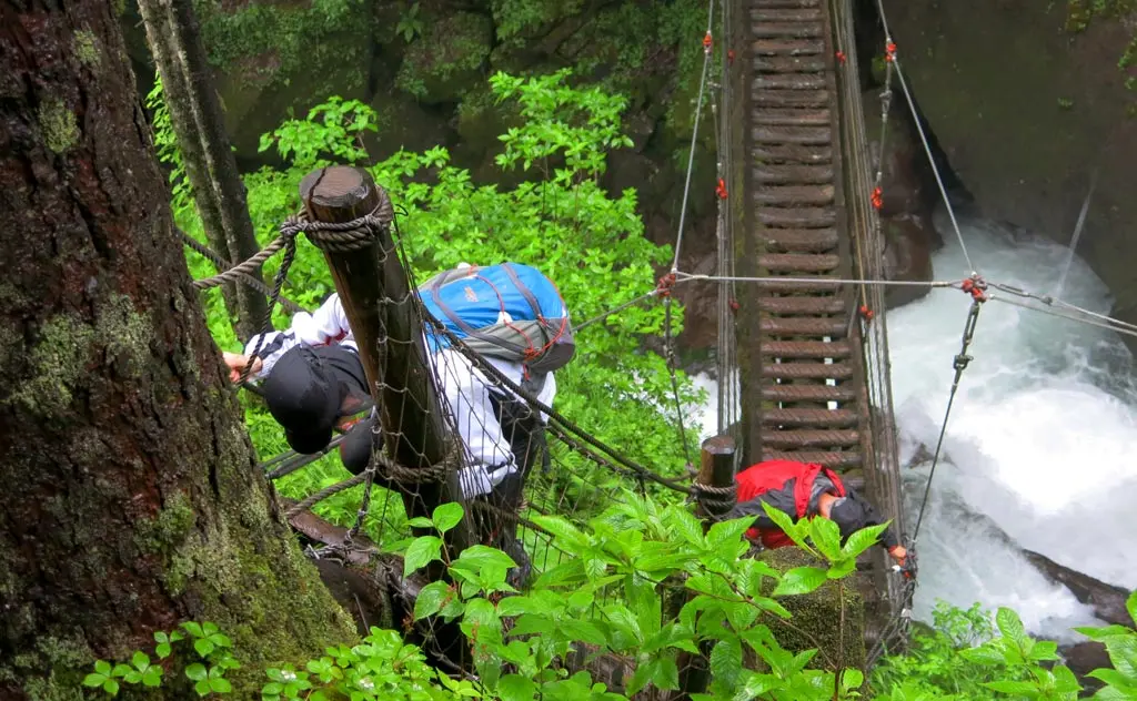
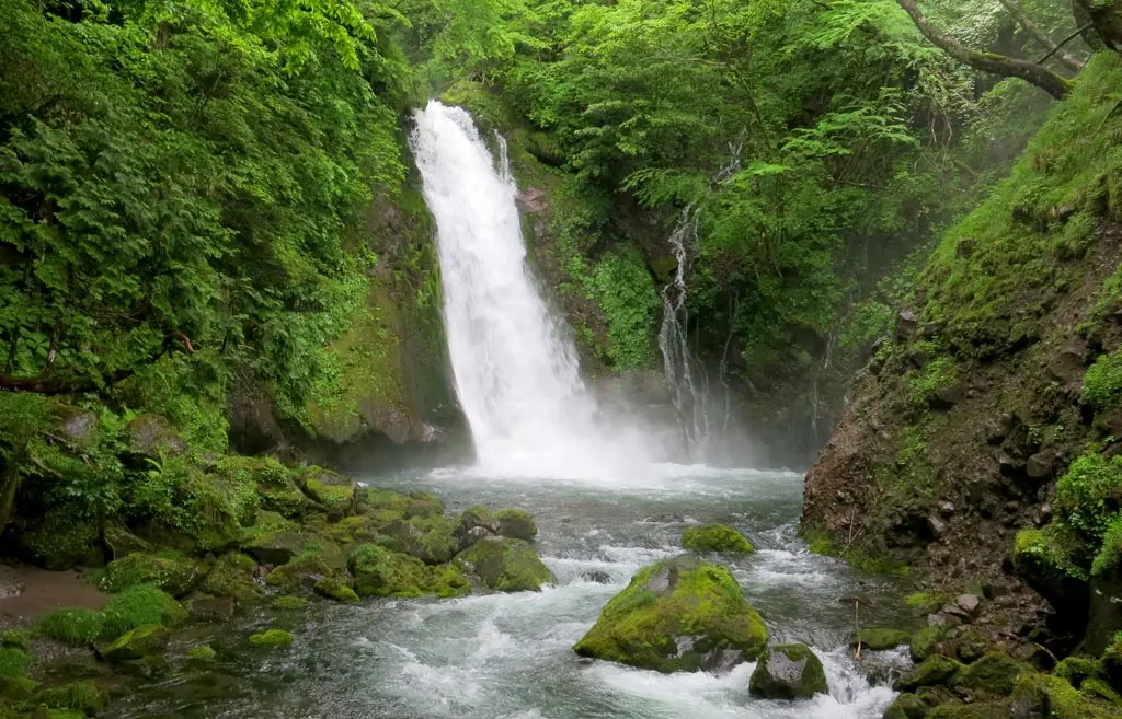
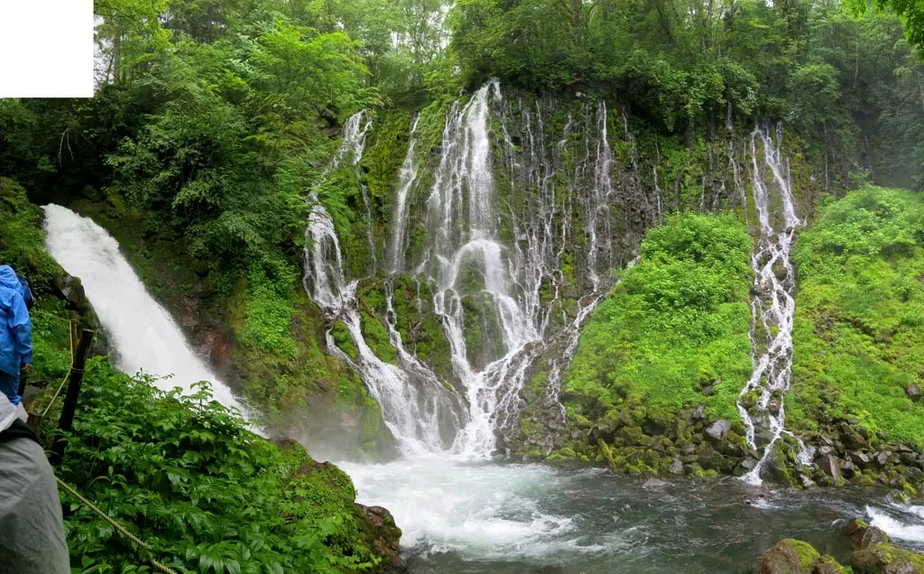
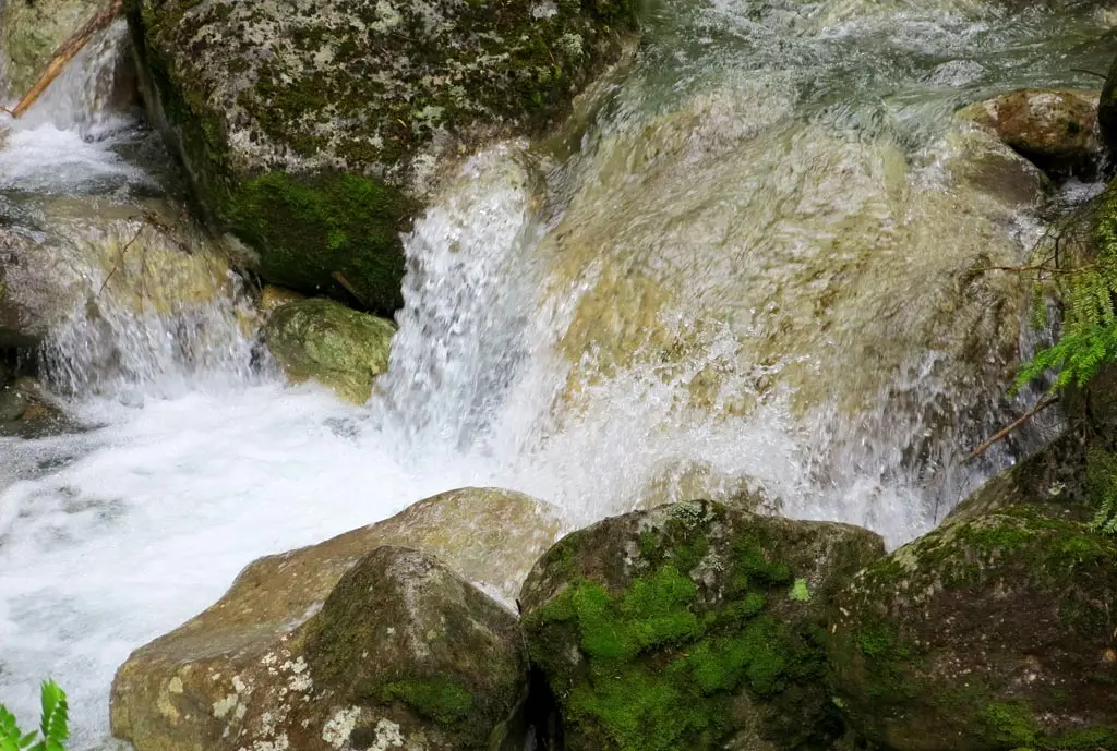
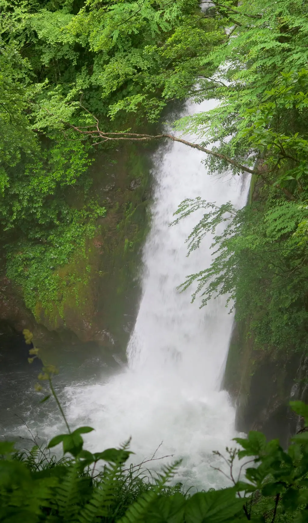
The first of the falls was the above, Yokote Falls. The water from this waterfall came from the irrigation of the mountain, so it was especially enormous today thanks to the all the rain. Our guide mentioned that it's usually not this large and powerful.
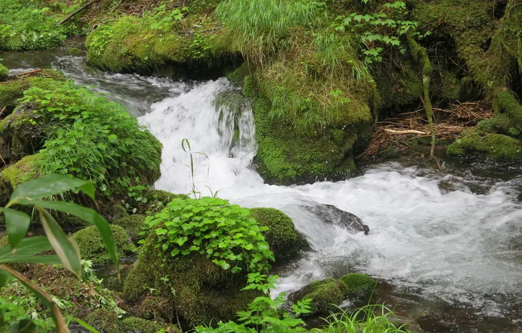
The fall poured into a pool, which continued underneath a very thing bridge into the second waterfall, the Sakura-kon Falls, or Sakura Root Falls. All the water we had met through our journey down the mountain feel down these 20 or 30 meters in the pools below.
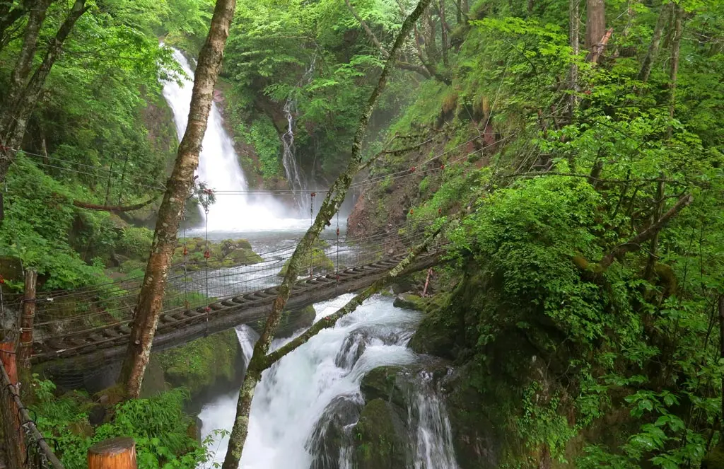
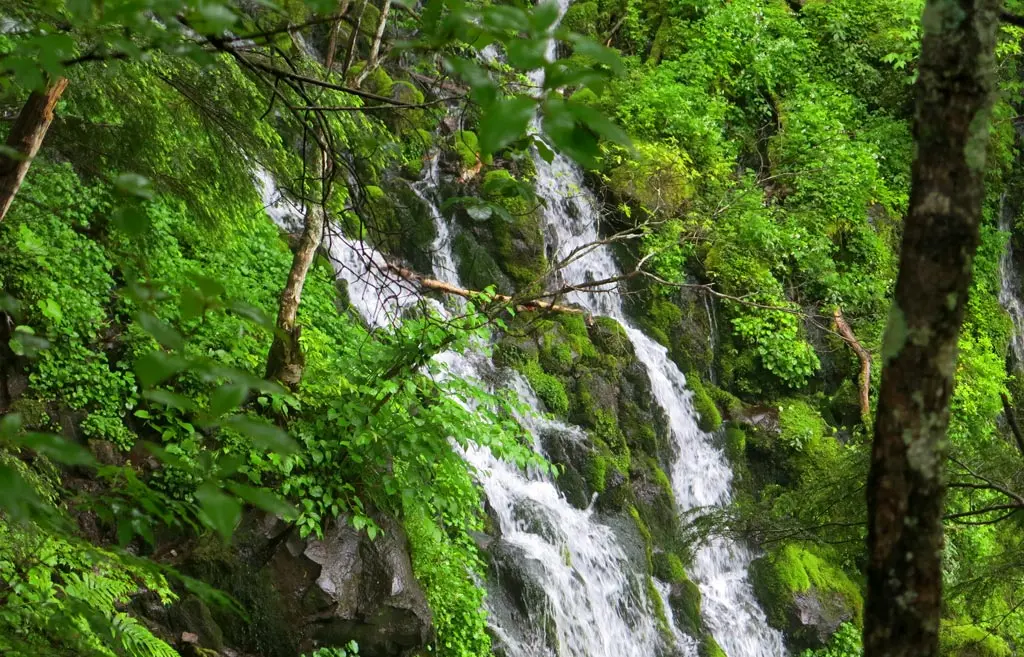
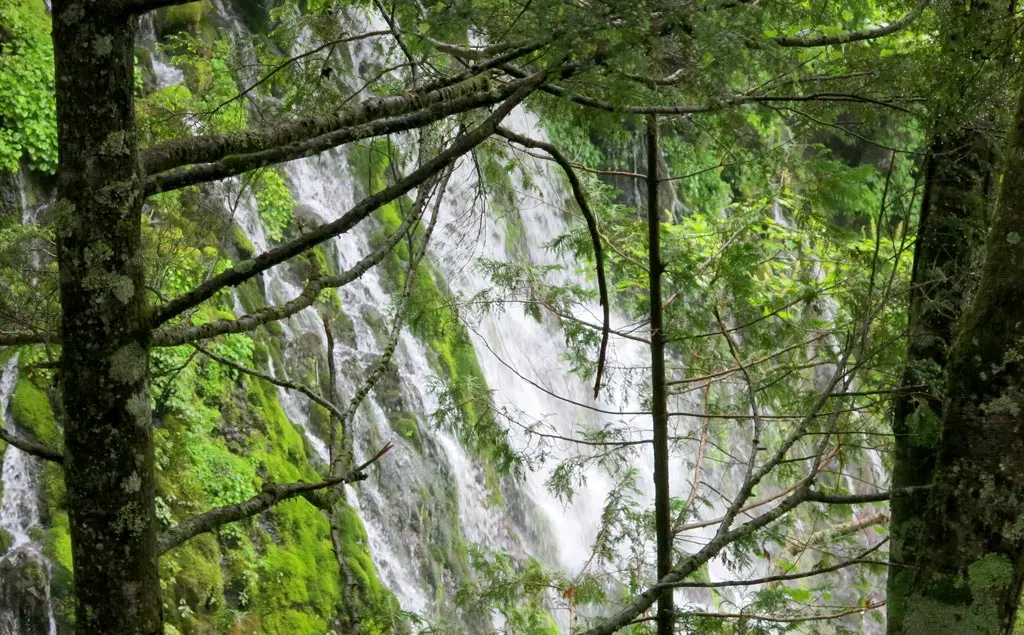
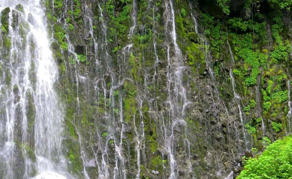
Next we met the actual treasure of this hiking trail, the Nunobiki Falls, which were directly next to the Yokote and Sakura-kon waterfalls. Unlike the other 2 falls, the water forming Nunobiki was completely natural, squeezed from the rocks and reservoirs below the surface. No amount of rain water would ever change the way these falls look.
This is rather evident when looking at the shape of the falls. Rather than a concentrated source of water flowing over a cliff, several scattered pockets of water are shot through the cliff face, and flowing down the side. If this waterfall was formed by a creek, stream or river, a singular focal point would've been carved out of the round over the course of thousands of years.
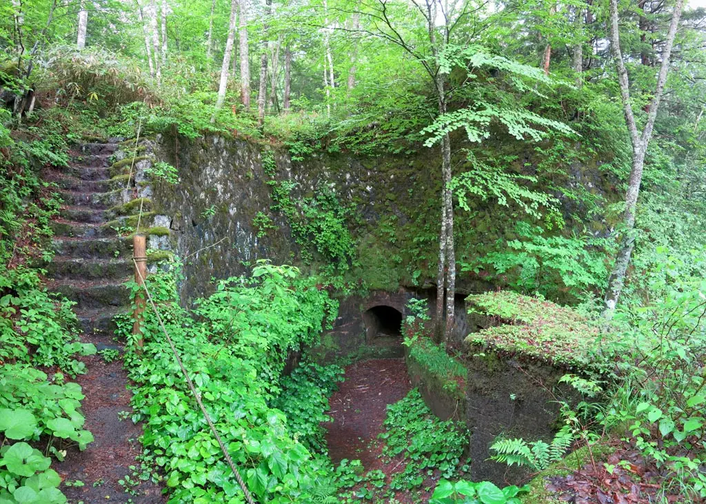
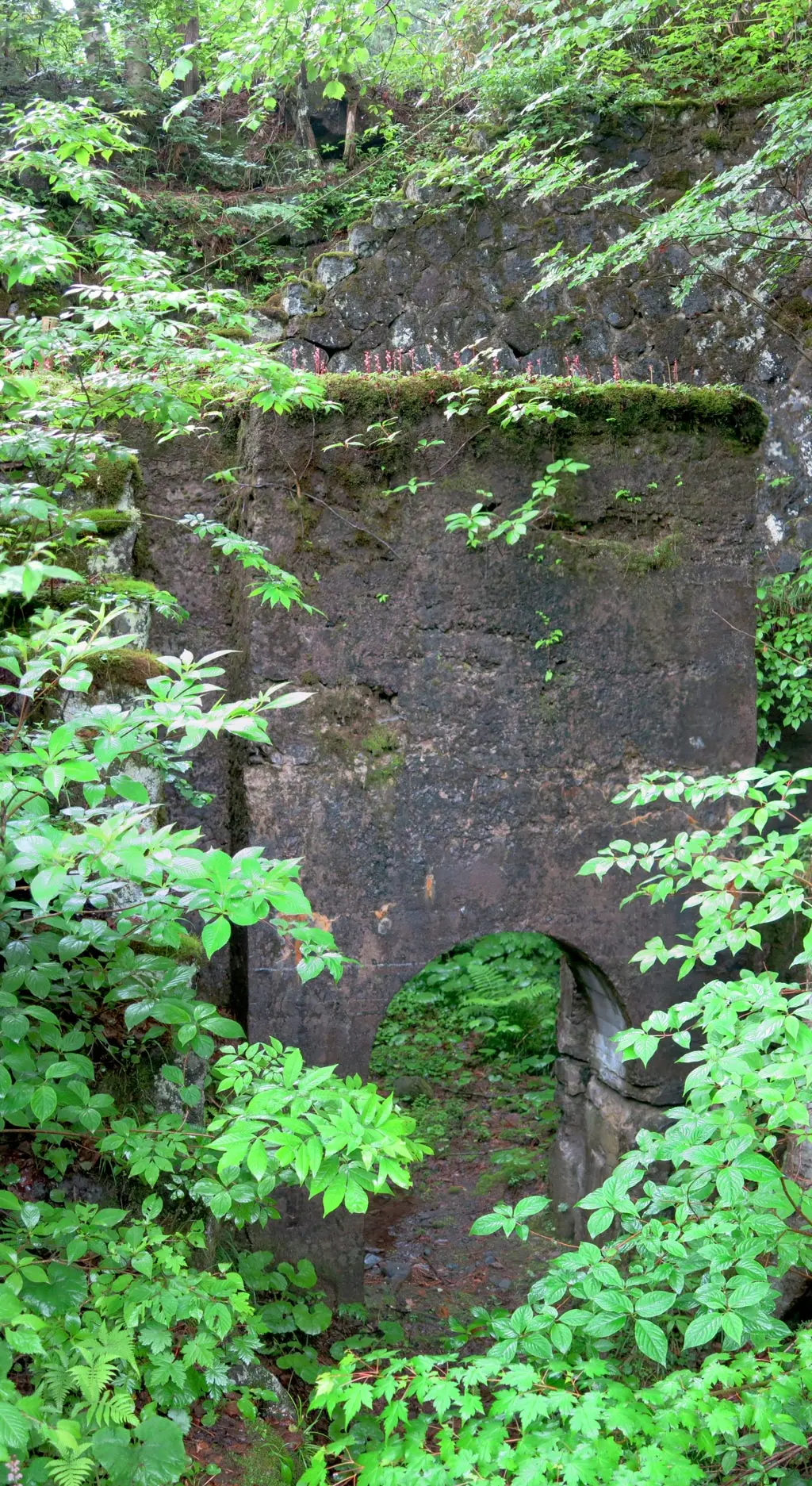
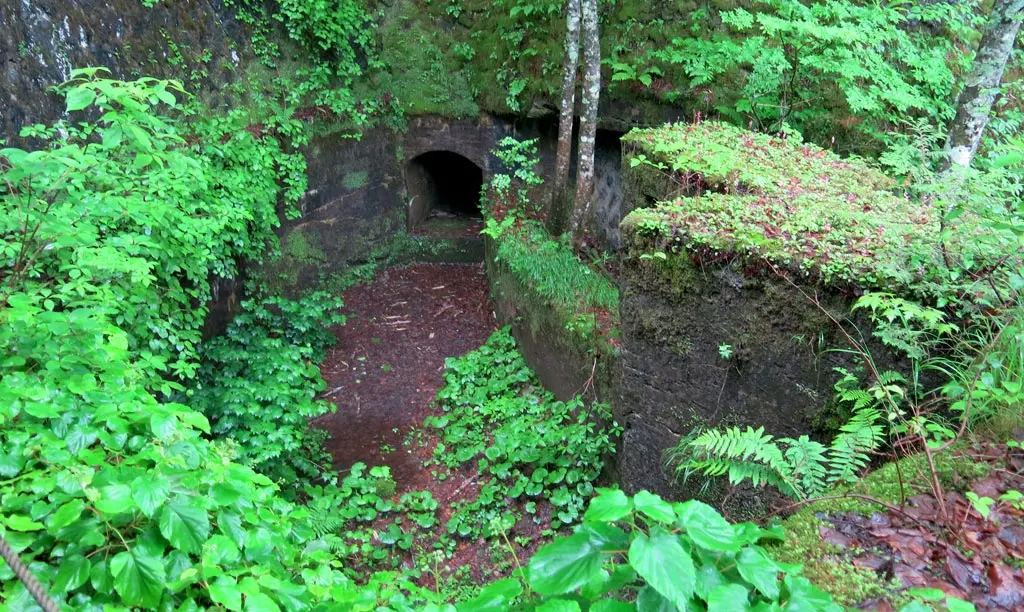
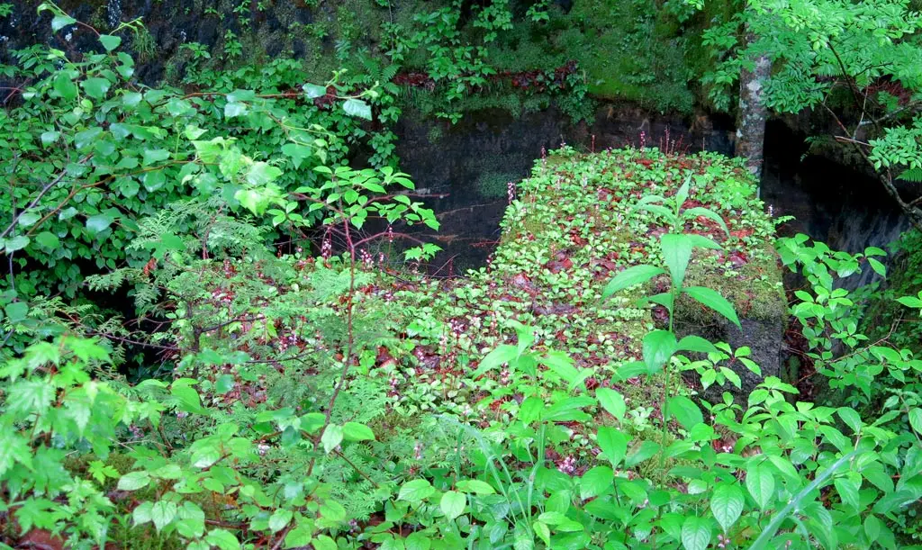
After passing by the falls, I noticed something that was clearly manmade, and not in use for quite a while. Apparently the early settlers of these lands mined for copper, zinc and iron. The above structure was carved out of the rock to channel the water from the falls, and generate electricity for the mines. In this area, watermills were set up to collect the energy and pass it on to the mines.
I guess, over the years, those watermills were removed to preserve the nature the falls.
A few hundred meters away was our final destination of the hike. We got there around 2:30pm. Our busses were already waited for us at the Deai Hut. We went inside, and got a chance to change our clothes again, so we weren't walking around soaking wet.
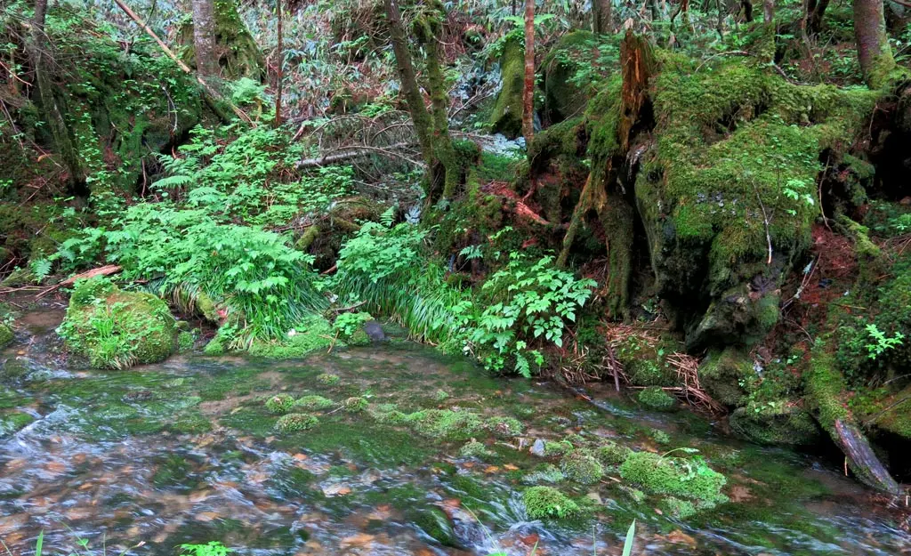
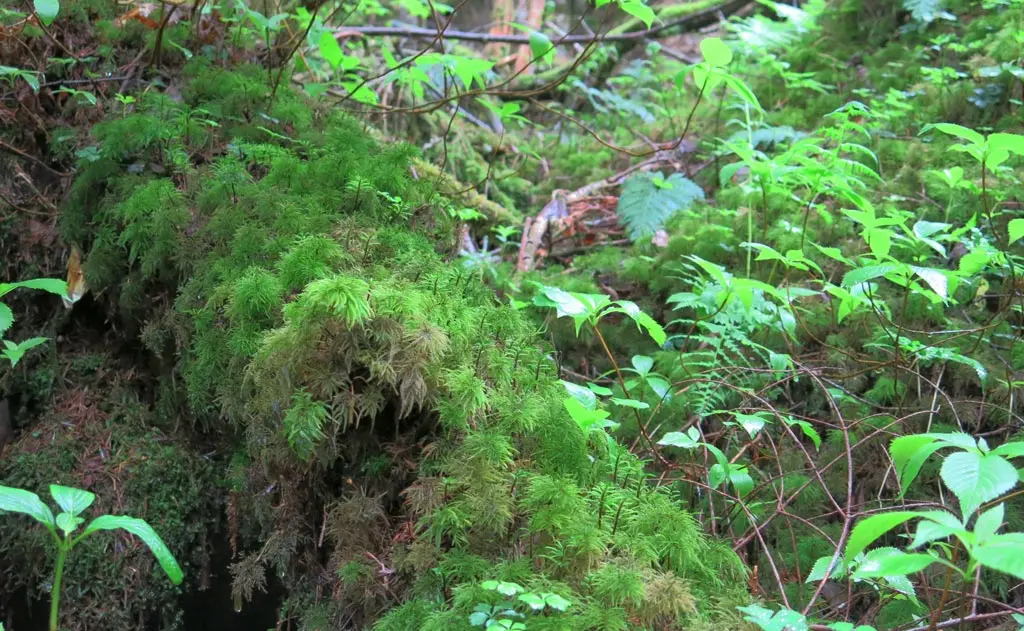
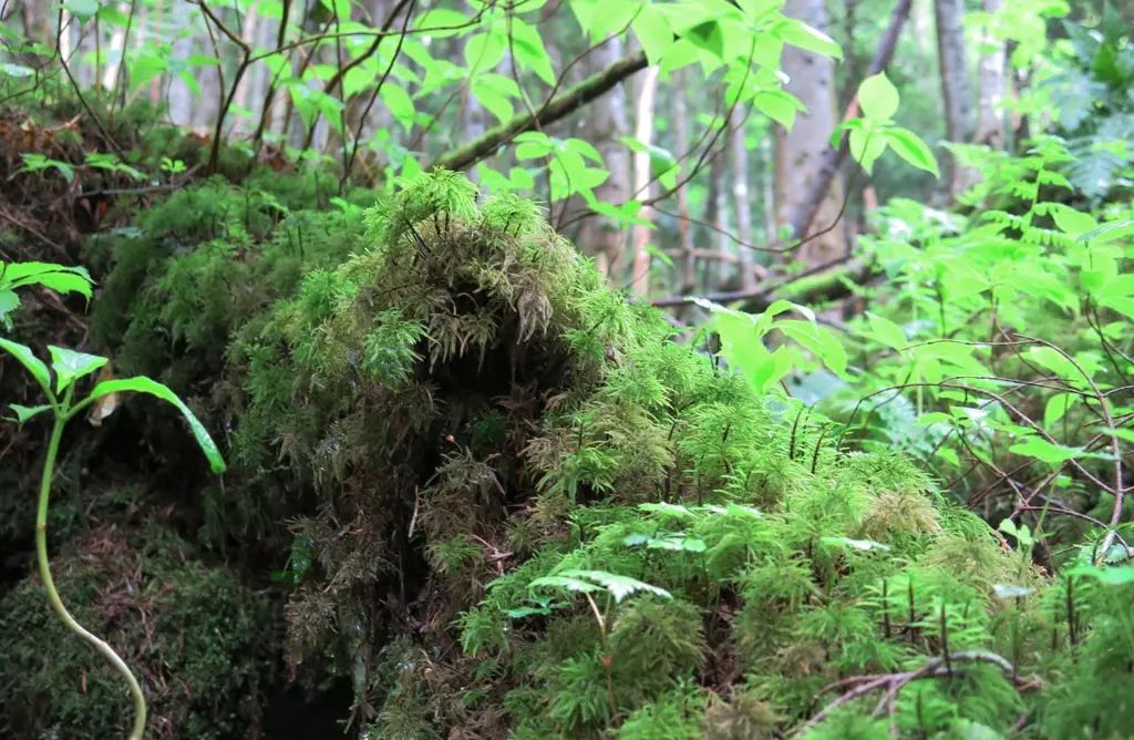
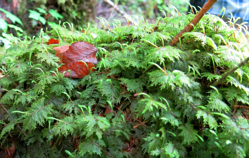
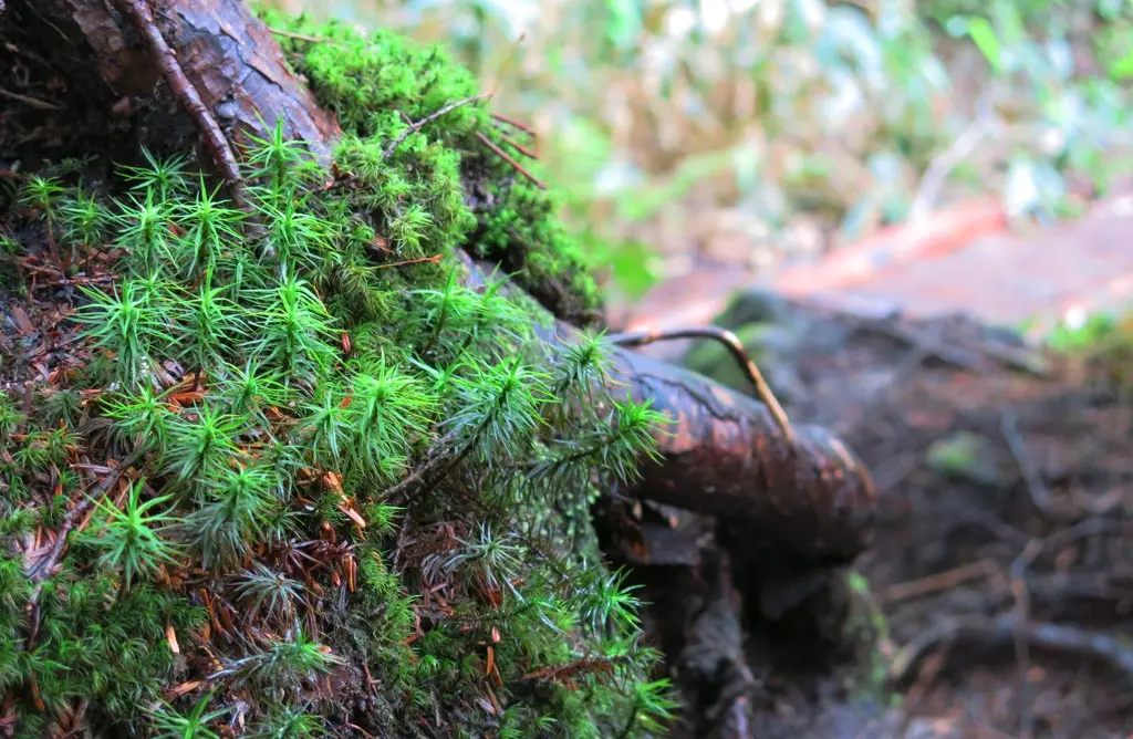
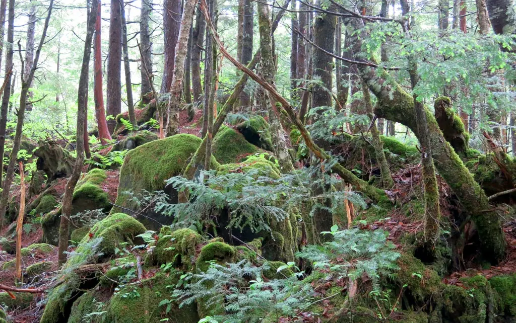
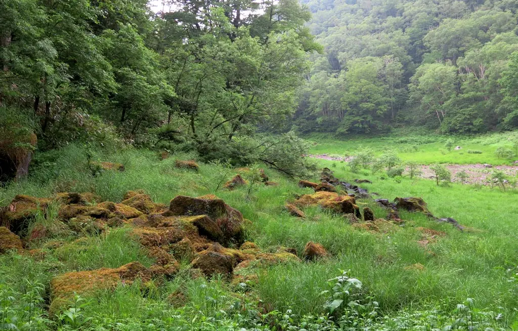
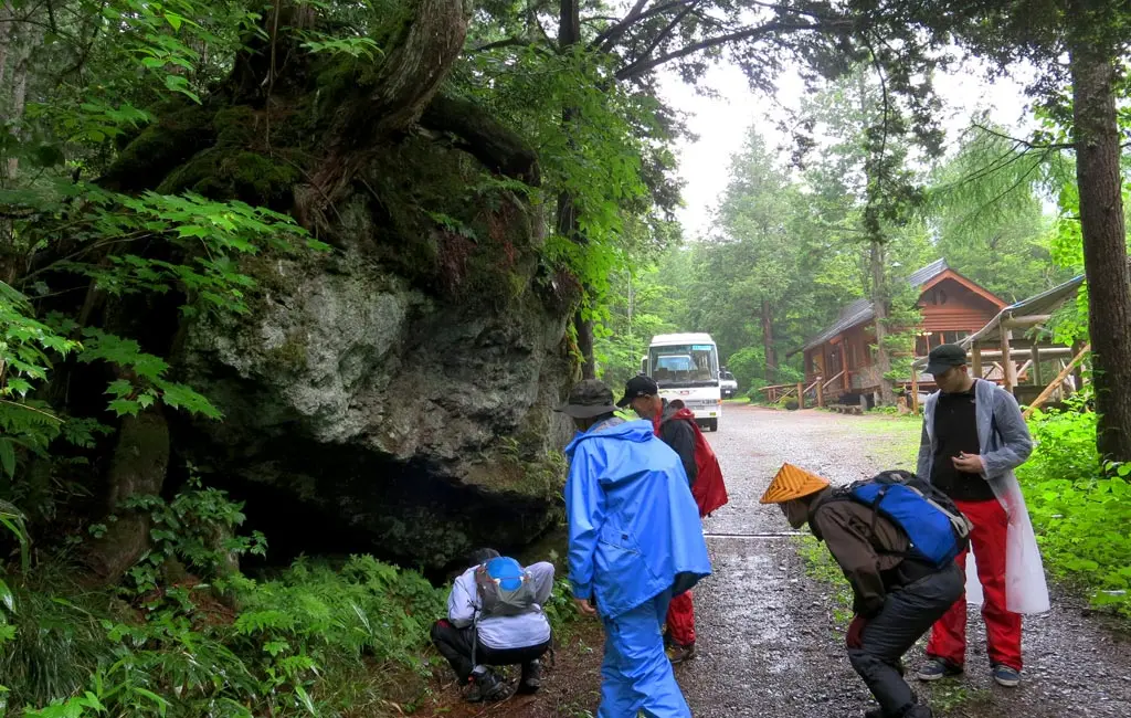
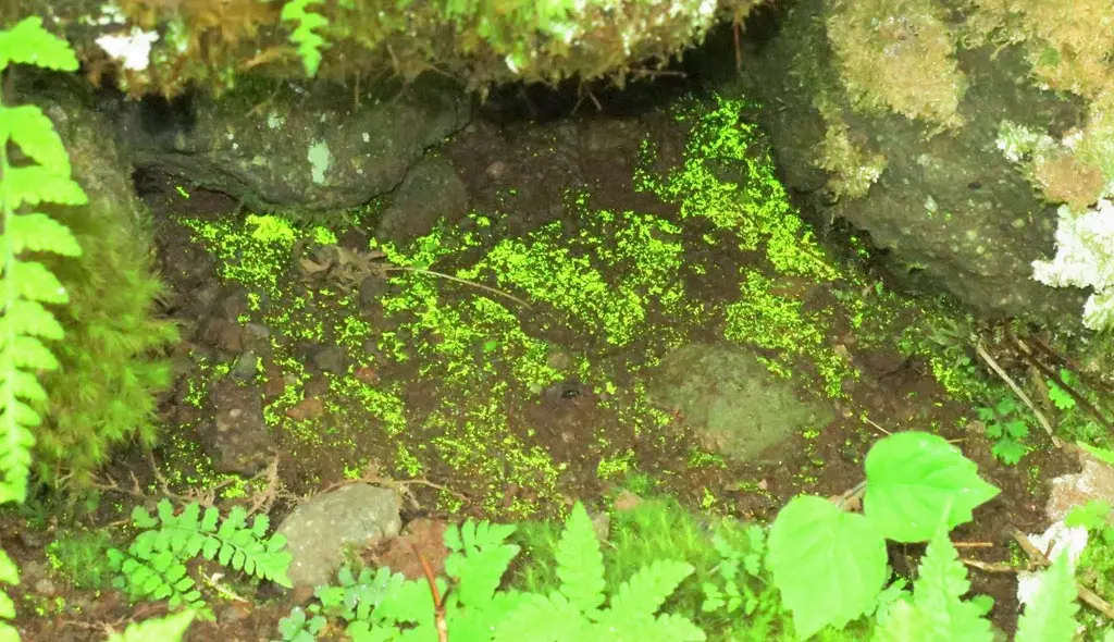
We got there well before the women's group, so nearby our guide showed us some funky moss. Underneath some nearby rocks were moss than reflected any light passing into it. I'm not sure if my photo really highlights this interesting phenomena, but it was a neat trick.
Despite being a cold and rainy day, I think the hike was totally worth it. For the last year and a half, I've lived in the foothills off these mountains, and never saw any of this stuff up close.
One of the greatest things about living in Takayama is the vast amount of nature that surrounds me everyday. Well over half the city's area is covered in this wilderness forged from the depths of earth at the basins of several volcanoes. It's absolutely stunning and beautiful. :)
Hopefully before I leave Takayama, I'll have a chance to hike the second trail available, which features many more waterfalls.
